The best gravel rides around Leimbach
4.7
(16)
186
riders
44
rides
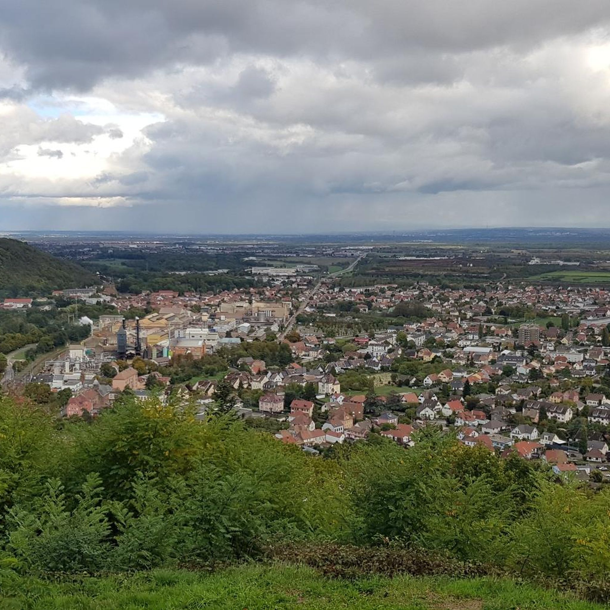
Gravel biking around Leimbach offers routes through the foothills of the Vosges mountains, characterized by a mix of forested paths and rolling hills. The terrain includes significant ascents and descents, providing a challenging experience for gravel bikers. These paths often traverse rural landscapes and lead to higher elevations, offering varied riding conditions. The region's geography is well-suited for those seeking demanding gravel bike trails near Leimbach.
Best gravel bike trails around Leimbach
- The most popular gravel bike trail is Col…
Last updated: July 3, 2026
4.5
(2)
14
riders
25.6km
01:56
660m
660m
Hard gravel ride. Very good fitness required. Mostly paved surfaces. Suitable for all skill levels.
5.0
(2)
16
riders
67.9km
04:42
1,380m
1,380m
Hard gravel ride. Very good fitness required. Mostly paved surfaces. Suitable for all skill levels.

Sign up for free
4.0
(1)
6
riders
27.0km
01:53
330m
330m
Moderate gravel ride. Good fitness required. Mostly paved surfaces. Suitable for all skill levels.
5.0
(1)
18
riders
74.2km
05:09
1,300m
1,300m
Hard gravel ride. Very good fitness required. Mostly paved surfaces. Suitable for all skill levels.
13
riders
97.2km
07:25
2,560m
2,560m
Hard gravel ride. Very good fitness required. Mostly paved surfaces. Suitable for all skill levels.
Get access to more routes and recommendations from other explorers.
Sign up for free
Already have an account?
Our route recommendations are based on thousands of hikes, rides, and runs completed by other people on komoot.
Start today with a free account
Your next adventure awaits.
Login or Signup

Tips from the Community


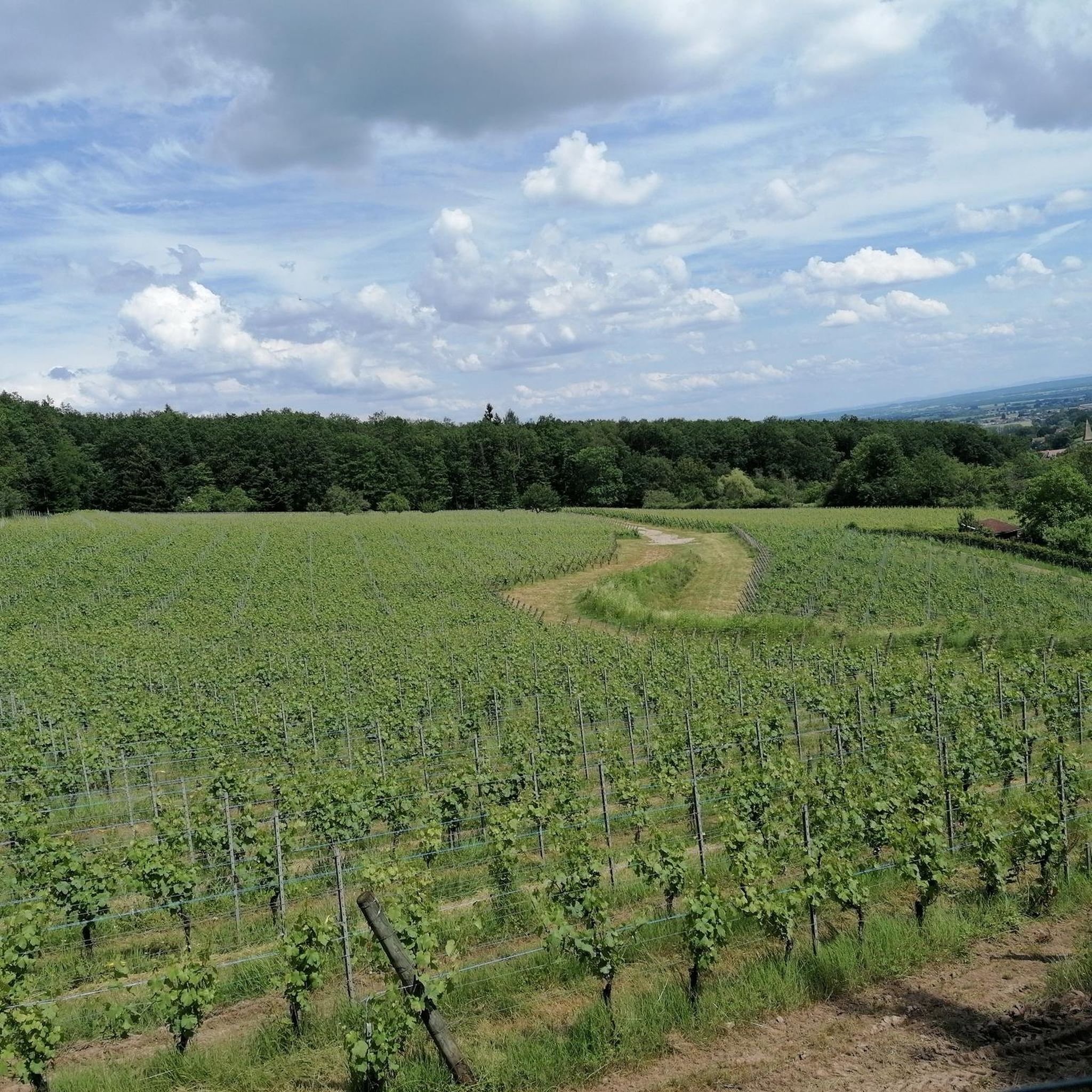
The chapel was built in 1930 on the site of a former wayside cross. It is dedicated to Saint Morand, a Cluny monk who became an apostle of the Sundgau region (11th century), patron saint of the parish of Steinbach and the village's winegrowers. It is also commonly known as Lohkapala.
0
0

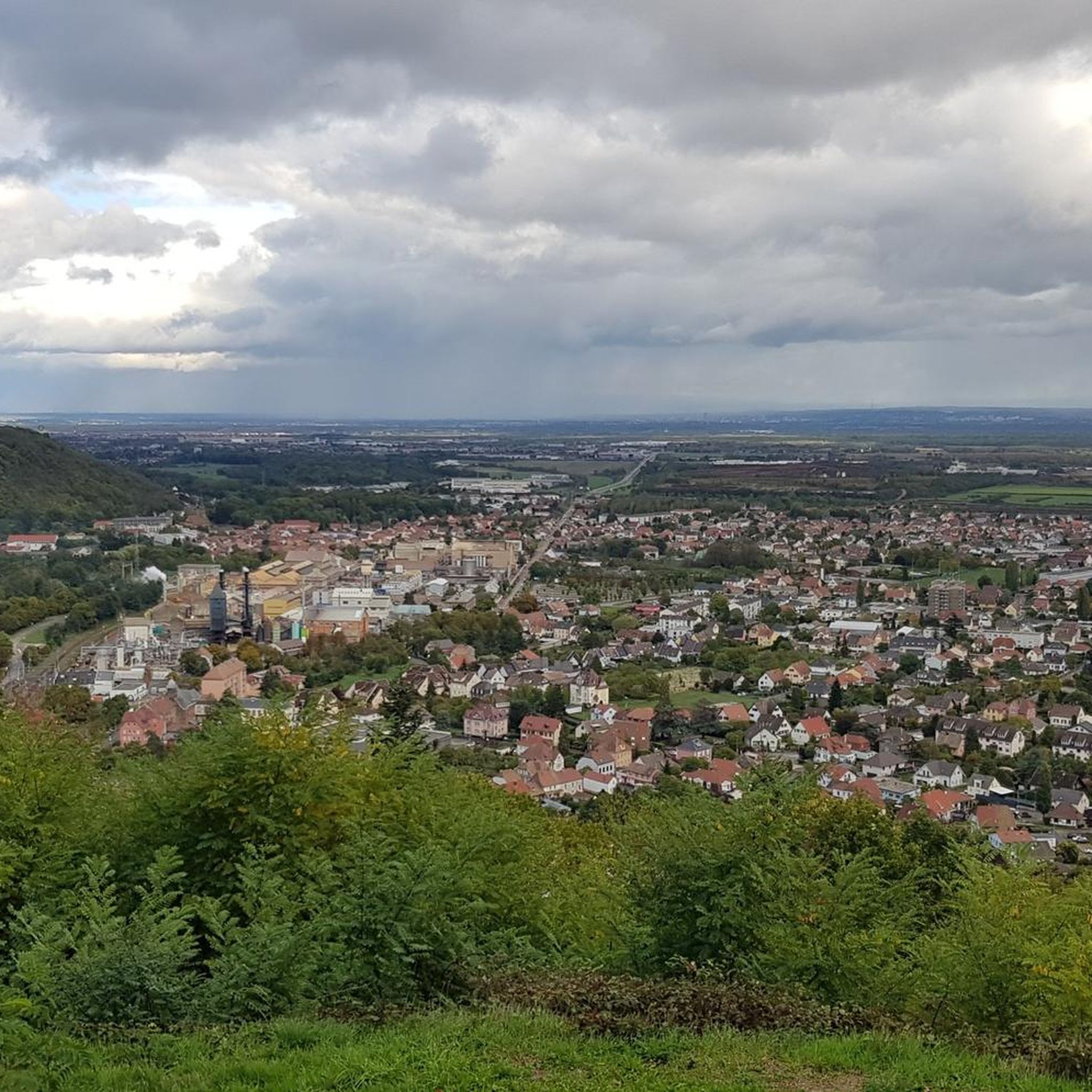
The Cernay National Cemetery is a memorial dedicated to the soldiers who fell during the battles of Vieil-Armand and Steinbach in the summer of 1914. Created in 1920, it was designed to house the bodies exhumed from temporary military cemeteries in the region and was reorganized after World War II to include soldiers who died between 1940 and 1945. This cemetery contains 2,238 French bodies, as well as Czech, Russian, British, and Serbian combatants. Two ossuaries contain the remains of 938 combatants.
0
0

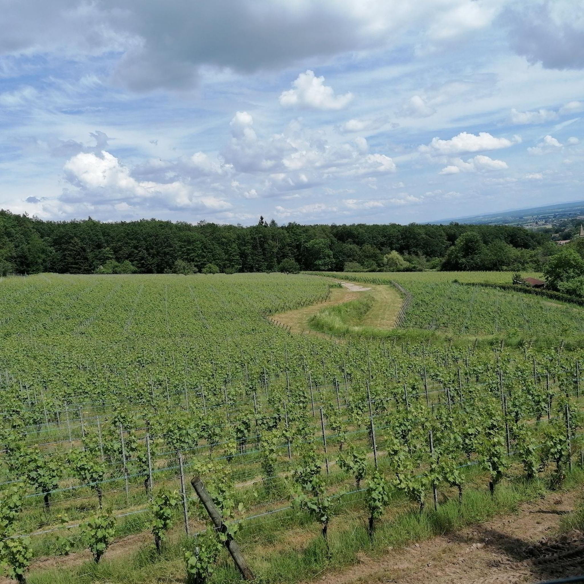
Great ascent route, away from the main roads, lots of forest = shade, moderate, steady climb between 6-9.5%, asphalt, few but great views
0
0


At the pass, the paved Chemin Béry forest road leads to the Col de la Vierge after 2 km and Lac des Corbeaux after 4.5 km. Driving down from the pass towards La Bresse, after 1 km you will reach a fork in the road. Turn right onto the quiet D34 A departmental road, the Route des Américains, which climbs to the Vosges ridge road, the Route des Crêtes. There it joins the Col de Rothenbach with its striking summit. The Route des Américains is 5 km long and has an elevation gain of almost 280 meters.
0
0

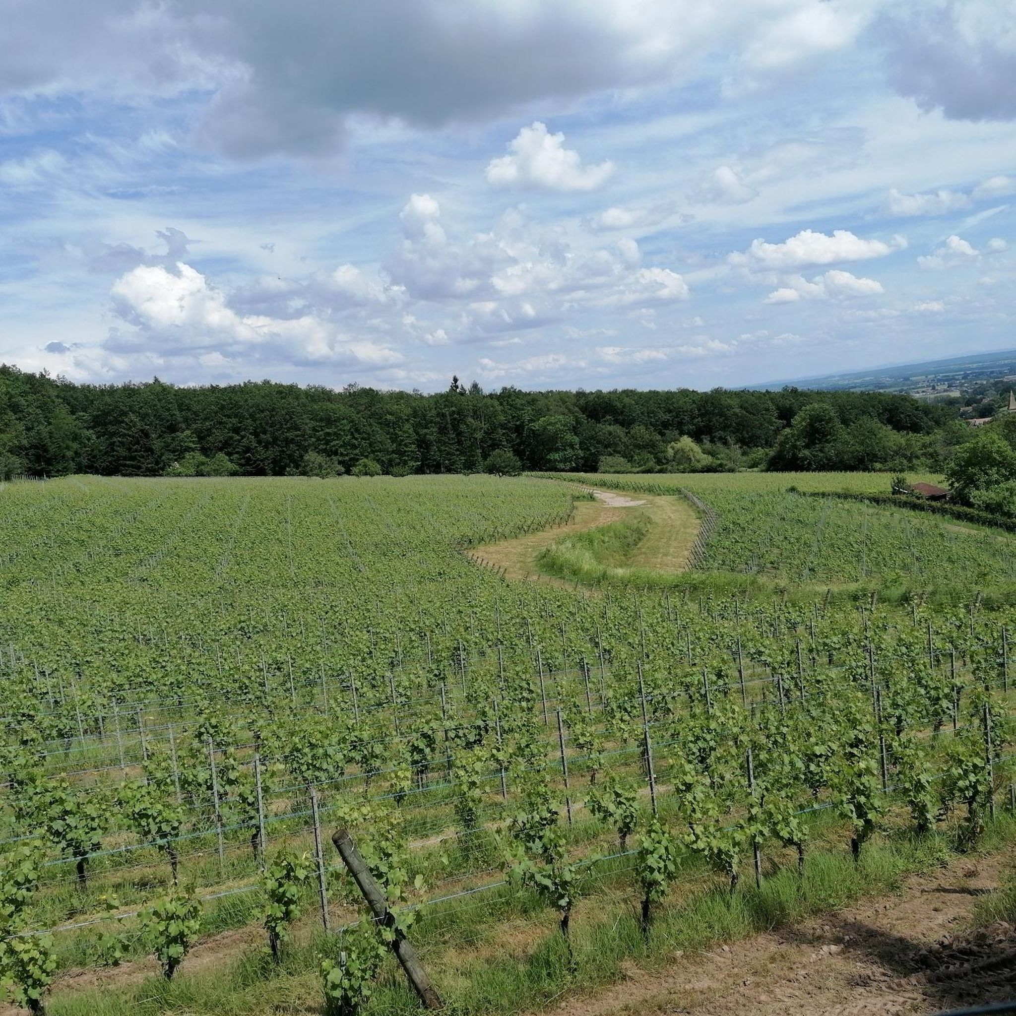
Great climb - a must for every road cyclist
0
0
Frequently Asked Questions
How many gravel bike trails are available around Leimbach?
Leimbach offers a diverse network of nearly 50 gravel bike trails. While many routes present a considerable challenge with significant elevation changes, there are also options for different ability levels, including some easier paths.
Are there any beginner-friendly gravel bike routes in the Leimbach area?
While many routes around Leimbach are challenging, there are a few options suitable for beginners. The region's terrain, characterized by forested paths and rolling hills, generally involves some climbing. For a less strenuous experience, look for routes with lower elevation gains.
What kind of terrain can I expect on gravel bike trails near Leimbach?
The gravel bike trails around Leimbach primarily traverse the foothills of the Vosges mountains. You can expect a mix of forested paths, rural landscapes, and rolling hills. The terrain often includes significant ascents and descents, leading to higher elevations and providing varied riding conditions.
Are there challenging gravel bike paths for experienced riders around Leimbach?
Yes, Leimbach is well-suited for experienced gravel bikers seeking demanding trails. Many routes feature substantial climbing towards mountain passes and extensive views. Examples include the Grand Ballon – Hohneck loop from Cernay, which covers over 93 km with significant elevation, and the Grand Ballon – Col Amic Pass loop from Steinbach, offering challenging terrain through higher elevations.
What are some scenic gravel bike routes with good views in Leimbach?
Many gravel routes in Leimbach offer scenic views, especially those that climb to higher elevations in the Vosges foothills. Trails like the Grand Ballon – Col Amic Pass loop from Steinbach provide extensive vistas. You'll often find panoramic views of the surrounding forested landscapes and valleys.
Are there any circular gravel bike routes in Leimbach?
Yes, many of the gravel bike routes around Leimbach are designed as loops, allowing you to start and finish in the same location. Popular circular options include the Col Amic Pass – Climb to Grand Ballon loop from Wattwiller and the Molkenrain - Cernay – Chapelle de la Loh loop from Cernay.
What is the best time of year for gravel biking in Leimbach?
The best time for gravel biking in Leimbach is generally from spring to autumn, when the weather is milder and the trails are dry. During these seasons, you'll experience pleasant temperatures and the full beauty of the forested landscapes. Winter riding can be challenging due to snow and ice at higher elevations.
What points of interest or landmarks can I see along the gravel bike trails?
While gravel biking, you can explore various points of interest. Highlights include the Viewpoint at the summit of Vieil Armand, the historic Hartmannswillerkopf National Monument and Military Cemetery, and the scenic Vogelstein (Bird Rock). Many routes also pass by traditional farmhouses and refuges like the Belacker Farmhouse Inn.
What do other gravel bikers enjoy most about gravel biking in Leimbach?
The komoot community highly rates the gravel biking experience in Leimbach, with an average score of 4.5 stars from over 19 reviews. Riders often praise the challenging terrain, the rewarding climbs to mountain passes, and the beautiful forested paths that define the region's unique character.
Are there any gravel bike trails in Leimbach that are less crowded?
To find less crowded trails, consider exploring routes that venture deeper into the forested areas or those that are slightly off the most popular paths. While specific 'less crowded' routes aren't explicitly highlighted, opting for trails during off-peak hours or weekdays can also enhance your solitude.
Are there options for gravel biking with public transport access in Leimbach?
Leimbach and its surrounding towns, such as Cernay and Wattwiller, serve as common starting points for many gravel bike routes. These towns often have public transport connections, making it possible to access trails without a car. It's advisable to check local bus or train schedules for specific routes and bike transport policies.
Most popular routes around Leimbach
Most popular attractions around Leimbach

Get inspired with the komoot mobile app


Explore more
Browse the best Gravel rides in other regions.
