The best gravel rides around Reilhanette
4.4
(40)
521
riders
24
rides
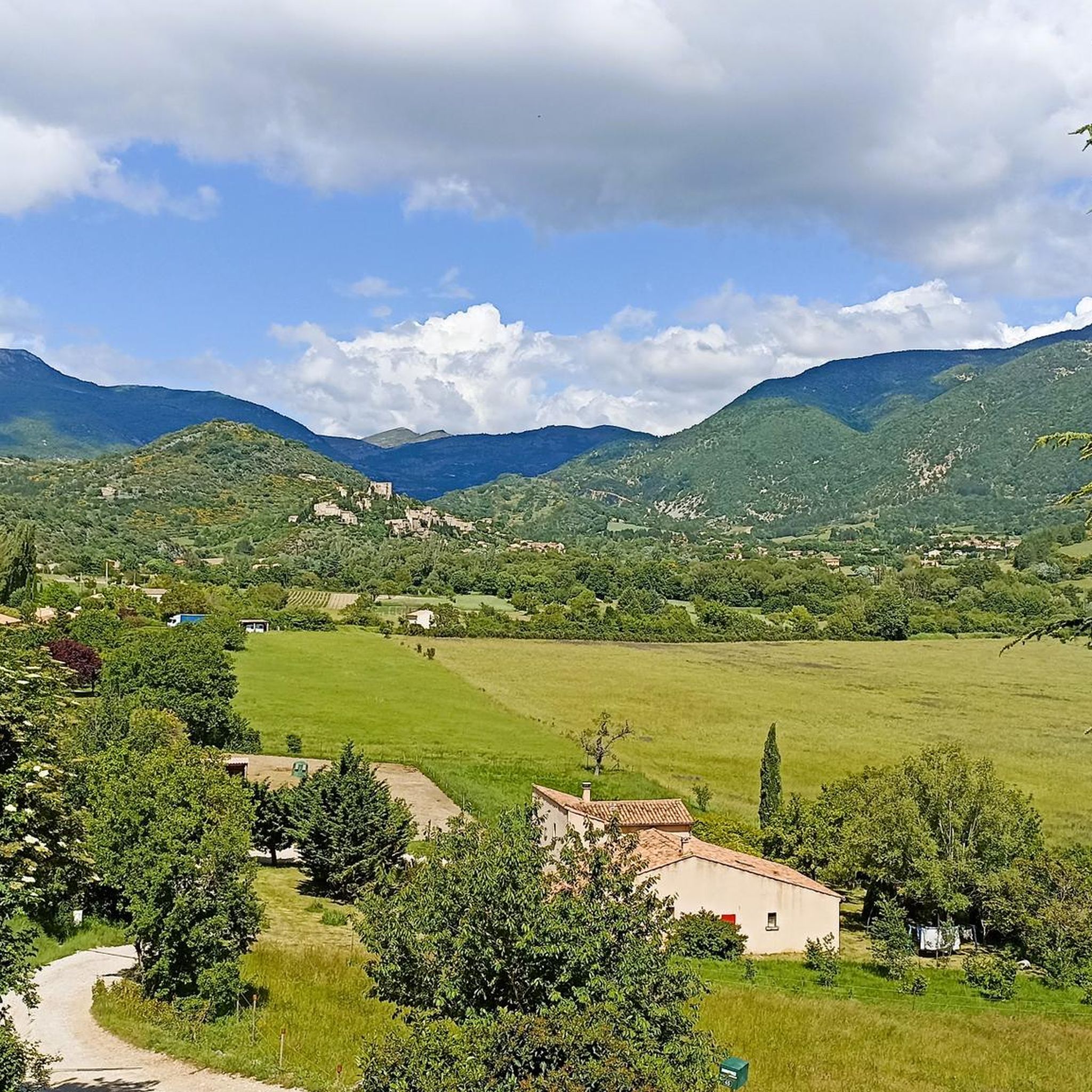
Gravel biking around Reilhanette offers routes through varied terrain, characterized by the foothills of Mont Ventoux and the Nesque Gorge. The region features a mix of challenging mountain ascents, winding valley paths, and open gravel tracks. Its location at the confluence of the Anary and Toulourenc rivers, surrounded by rolling hills and dramatic landscapes, provides diverse terrain well-suited for gravel biking. Elevations range significantly, providing varied experiences for gravel bikers.
Best gravel bike trails around Reilhanette
- The most popular gravel…
Last updated: July 3, 2026
4.8
(4)
43
riders
46.0km
03:38
1,370m
1,370m
Hard gravel ride. Very good fitness required. Mostly paved surfaces. Suitable for all skill levels.
4.8
(20)
301
riders
58.9km
04:17
1,480m
1,480m
Hard gravel ride. Very good fitness required. Mostly paved surfaces. Suitable for all skill levels.

Sign up for free
5.0
(4)
18
riders
22.1km
01:38
620m
620m
Hard gravel ride. Very good fitness required. Mostly paved surfaces. Suitable for all skill levels.
5.0
(3)
56
riders
74.3km
05:38
2,090m
2,090m
Hard gravel ride. Very good fitness required. Mostly paved surfaces. Suitable for all skill levels.
5.0
(1)
17
riders
81.1km
05:47
1,900m
1,900m
Hard gravel ride. Very good fitness required. Mostly paved surfaces. Suitable for all skill levels.
Get access to more routes and recommendations from other explorers.
Sign up for free
Already have an account?
Our route recommendations are based on thousands of hikes, rides, and runs completed by other people on komoot.
Start today with a free account
Your next adventure awaits.
Login or Signup
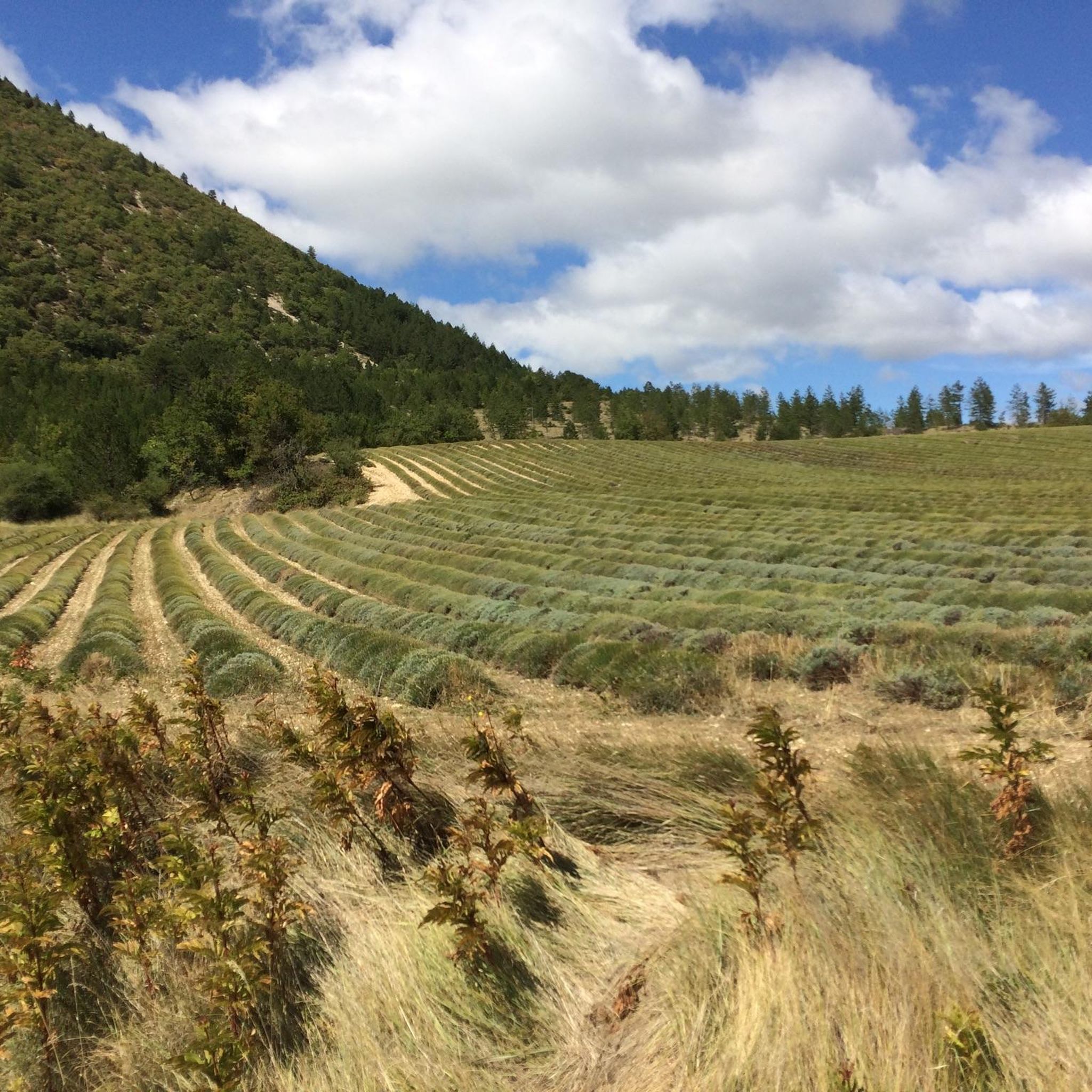
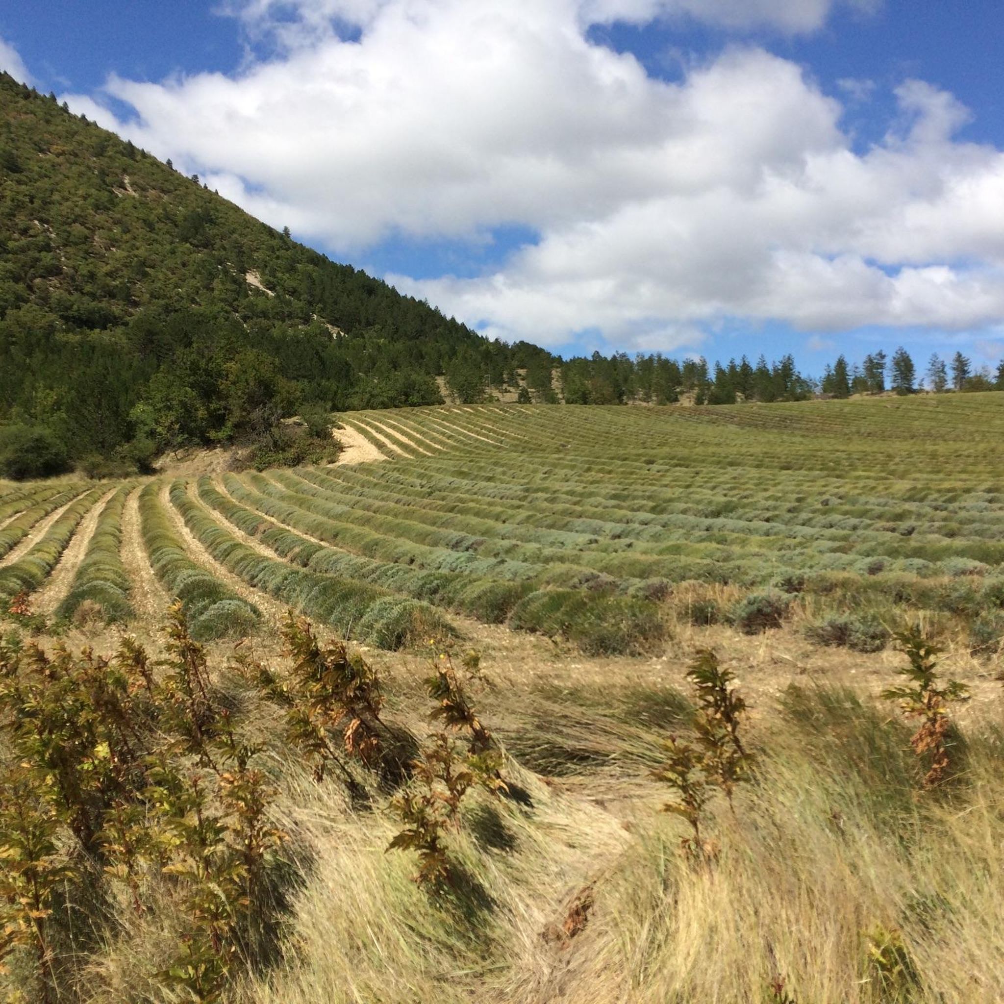
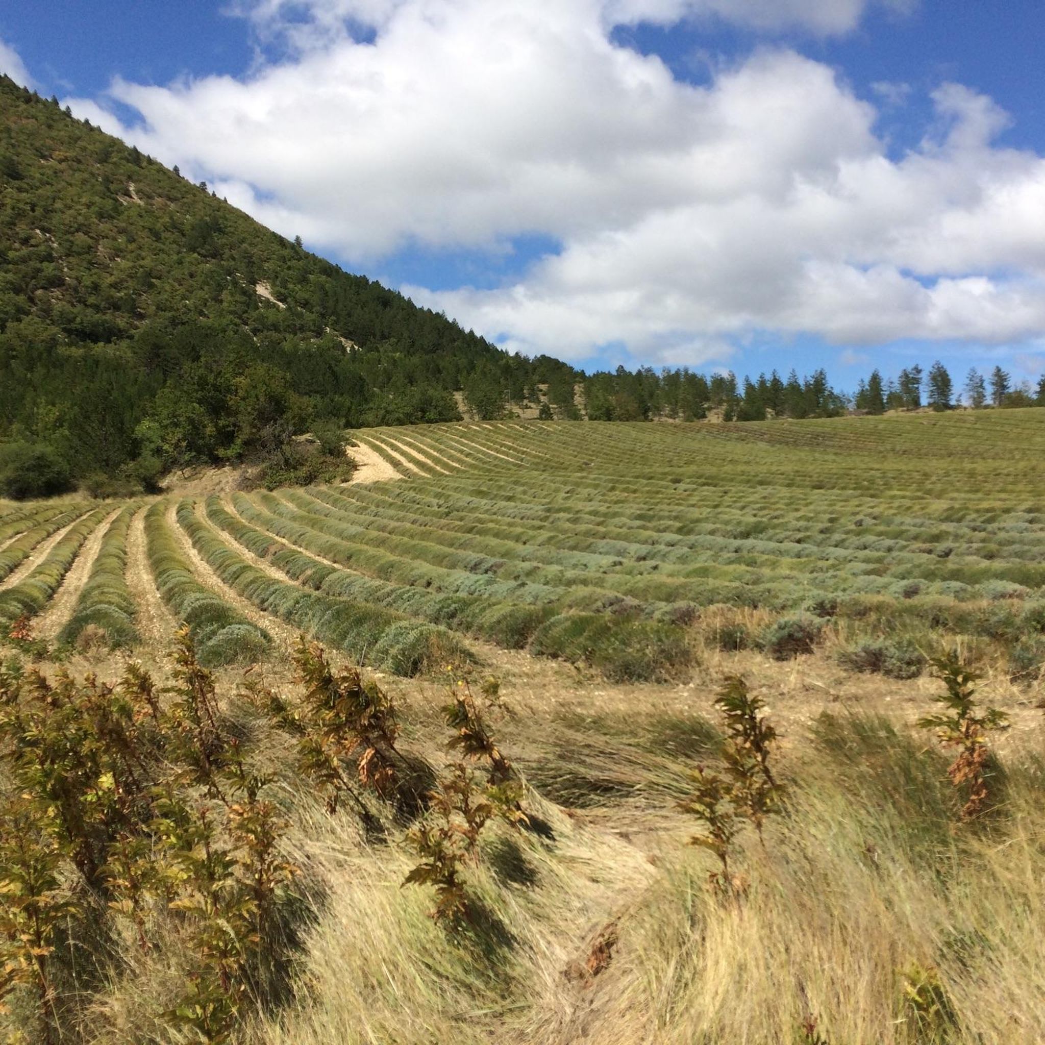
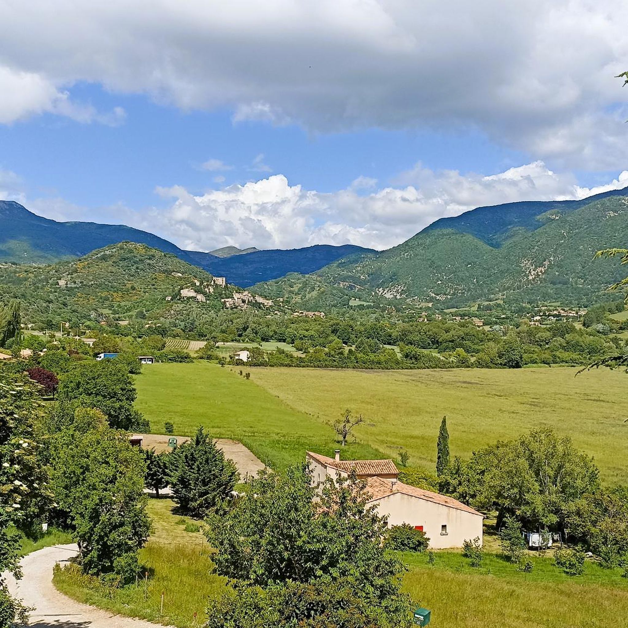
Tips from the Community

The last 6 kilometers demand everything, wind gusts and constantly steep ascents.
0
0

The last few kilometers are no longer that steep, apart from a few ramps, and the destination is in sight.
0
0
You made it, this is the proof, and you conquered an absolute classic of cycling.
0
0
Breathtaking ride through this unique moonscape.
0
0

and fight the climbs once again ;)
0
0
We did the bike tour in the fall. Because of the wind on Mont Ventoux, it felt even colder than the actual temperature. So, be sure to pack warm clothes; maybe even change your clothes at the summit. It didn't get any warmer during the descent ;). We would have liked to have brought warm gloves. Overall: fantastic!
0
0

What an experience!!!
0
1

To enjoy a well-deserved rest and take a look at the beautiful panorama
0
1
Frequently Asked Questions
How many gravel bike trails are available around Reilhanette?
There are over 25 gravel bike trails around Reilhanette, offering a diverse range of experiences. The region is particularly known for its challenging routes, with many featuring significant climbs towards Mont Ventoux and through dramatic gorges.
Are there any easy gravel bike routes suitable for beginners in Reilhanette?
While Reilhanette is known for its challenging terrain, there is at least one easy gravel bike route available. Most trails in the area are rated as difficult, so beginners should carefully check route details before setting out.
What are some of the more challenging gravel bike trails in the Reilhanette area?
The region offers many challenging routes. Notable difficult trails include Sault – Mont Ventoux loop from Sault, which features significant climbs, and Chalet Reynard – Graviers Blancs Trail loop from Chalet Reynard, known for its exposed, gravelly sections.
Are there any circular gravel bike routes around Reilhanette?
Yes, many of the gravel bike trails in Reilhanette are designed as loops. For example, the Nesque Gorge – Nice tunnel loop from Notre Dame des Anges offers a scenic circular ride through the dramatic Nesque Gorge.
What kind of distances can I expect on gravel bike trails near Reilhanette?
Gravel bike trails in Reilhanette vary significantly in length. You can find routes ranging from shorter, more intense climbs like the Summit arrival 🥳 – Mont Ventoux loop from Brantes at around 22 km, to longer expeditions such as the Mont Ventoux Road – Summit arrival 🥳 loop from Sault, which covers over 81 km.
What are some interesting landmarks or points of interest I can see along the gravel bike trails?
The Reilhanette area is rich in natural and historical landmarks. Along your rides, you might encounter the iconic Mont Ventoux summit, the historic Pass of Storms, or the poignant Stele dedicated to Tom Simpson. The charming settlement of Sault also serves as a popular starting point for many routes.
What do other gravel bikers enjoy most about gravel biking in Reilhanette?
The gravel bike routes in Reilhanette are highly rated by the komoot community, with an average score of 4.5 stars from over 45 reviews. Riders frequently praise the challenging mountainous terrain, the dramatic beauty of the deep gorges, and the expansive open gravel paths that define the region's unique cycling experience.
Is Reilhanette suitable for family-friendly gravel biking?
Given that most routes in Reilhanette are rated as difficult and involve significant elevation changes, the area is generally more suited for experienced gravel bikers. There is a limited number of easier routes, so families with younger children or less experienced riders should carefully select trails that match their ability.
What is the best time of year for gravel biking in Reilhanette?
The best time for gravel biking in Reilhanette is typically during the spring and autumn months when temperatures are milder. Summer can be very hot, especially on exposed sections of Mont Ventoux, while winter can bring snow and ice to higher elevations, making many trails impassable.
Are there any public transport options to access gravel bike trails in Reilhanette?
Public transport options directly to trailheads in the rural Reilhanette area are limited. It is generally recommended to travel by car to reach the starting points of most gravel bike routes, especially those in more remote mountainous areas.
Where can I find parking for gravel biking in Reilhanette?
While specific parking information for every trailhead isn't provided, popular starting points like Sault and Chalet Reynard typically offer parking facilities. It's advisable to check local maps or komoot tour details for designated parking areas near your chosen route's start.
Are there cafes or refreshment stops along the gravel bike trails?
Many routes in the Reilhanette area pass through or near small villages and towns like Sault, where you can find cafes and other refreshment options. However, trails in more remote or high-altitude sections, such as those near the Mont Ventoux summit, may have limited services, so it's wise to carry sufficient water and snacks.
Most popular routes around Reilhanette
Most popular attractions around Reilhanette

Get inspired with the komoot mobile app


Explore more
Browse the best Gravel rides in other regions.
