The best gravel rides around Cerelles
3.8
(4)
59
riders
12
rides
Gravel biking around Cerelles offers a diverse landscape characterized by river valleys, extensive alluvial forests, and agricultural plains. The region features a network of trails that often follow the banks of the Loire River, providing varied terrain for gravel cyclists. Routes can include sections through woodlands, open fields, and along historical waterways, with some trails incorporating moderate climbs and descents. The terrain around Cerelles ranges from 62 to 122 meters in elevation, offering a mix of relatively flat sections and…
Last updated: July 3, 2026
18
riders
98.5km
06:15
530m
530m
Hard gravel ride. Very good fitness required. You may need to push your bike for some segments of this route.
4.5
(2)
7
riders
61.1km
03:56
450m
450m
Moderate gravel ride. Good fitness required. Mostly paved surfaces. Suitable for all skill levels.

Sign up for free
6
riders
109km
07:34
840m
840m
Hard gravel ride. Very good fitness required. Mostly paved surfaces. Suitable for all skill levels.
2.0
(1)
7
riders
50.8km
03:08
330m
330m
Hard gravel ride. Good fitness required. You may need to push your bike for some segments of this route.
5.0
(1)
2
riders
Moderate gravel ride. Good fitness required. Mostly paved surfaces. Suitable for all skill levels.
Get access to more routes and recommendations from other explorers.
Sign up for free
Already have an account?
Our route recommendations are based on thousands of hikes, rides, and runs completed by other people on komoot.
Start today with a free account
Your next adventure awaits.
Login or Signup


Tips from the Community


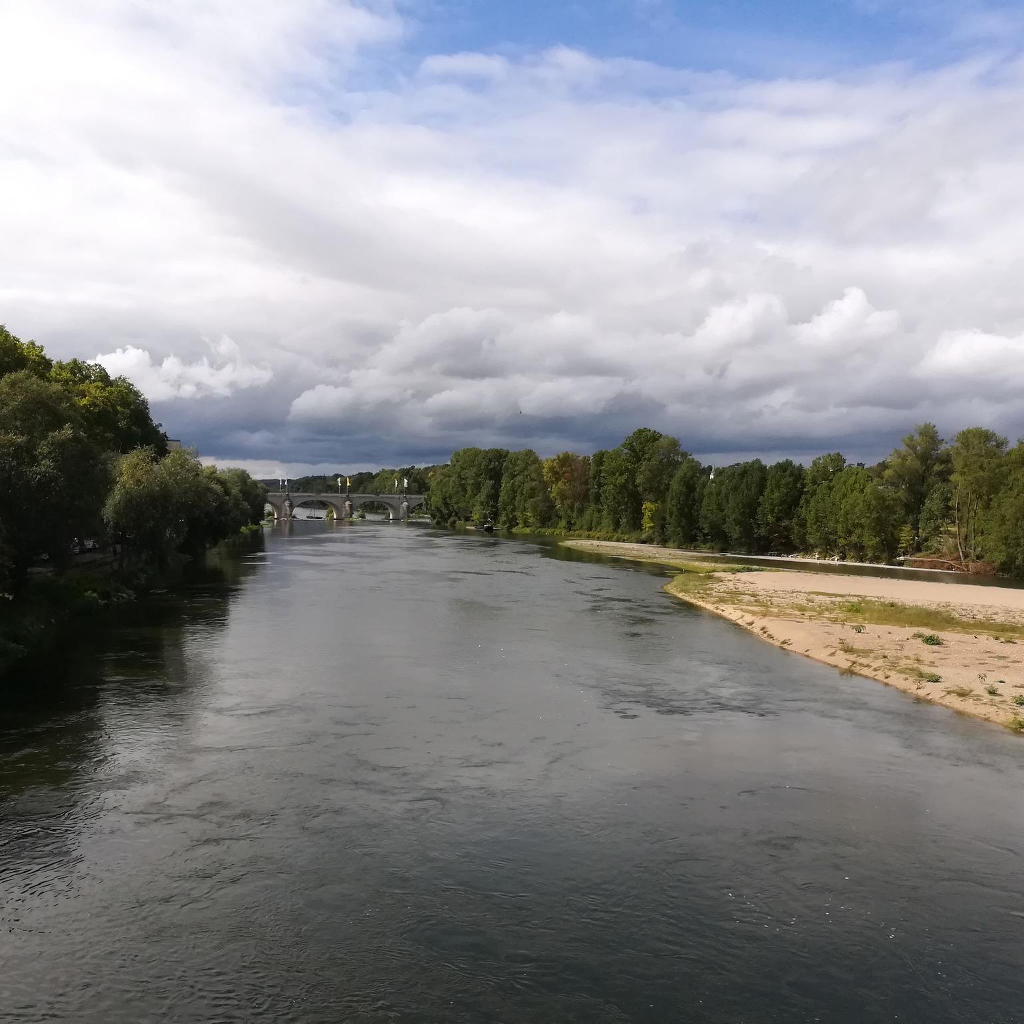
Situated on the banks of the Indre, from the bridge you have a beautiful view of the site and the beautiful 16th century mill.
5
0


It is a must-see in the village
0
0
Frequently Asked Questions
How many gravel bike trails are available around Cerelles?
There are 14 gravel bike routes around Cerelles, offering a diverse range of experiences. You'll find options for various skill levels, including 1 easy, 9 moderate, and 4 difficult trails.
Are there any easy gravel bike trails suitable for beginners or families near Cerelles?
Yes, there is one easy gravel bike route. The On the banks of the Loire – Pont Wilson Cycle Path loop from Saint-Cyr-sur-Loire is a great option, covering 21.4 km with minimal elevation gain, making it suitable for a relaxed ride.
What kind of terrain can I expect on gravel bike routes in Cerelles?
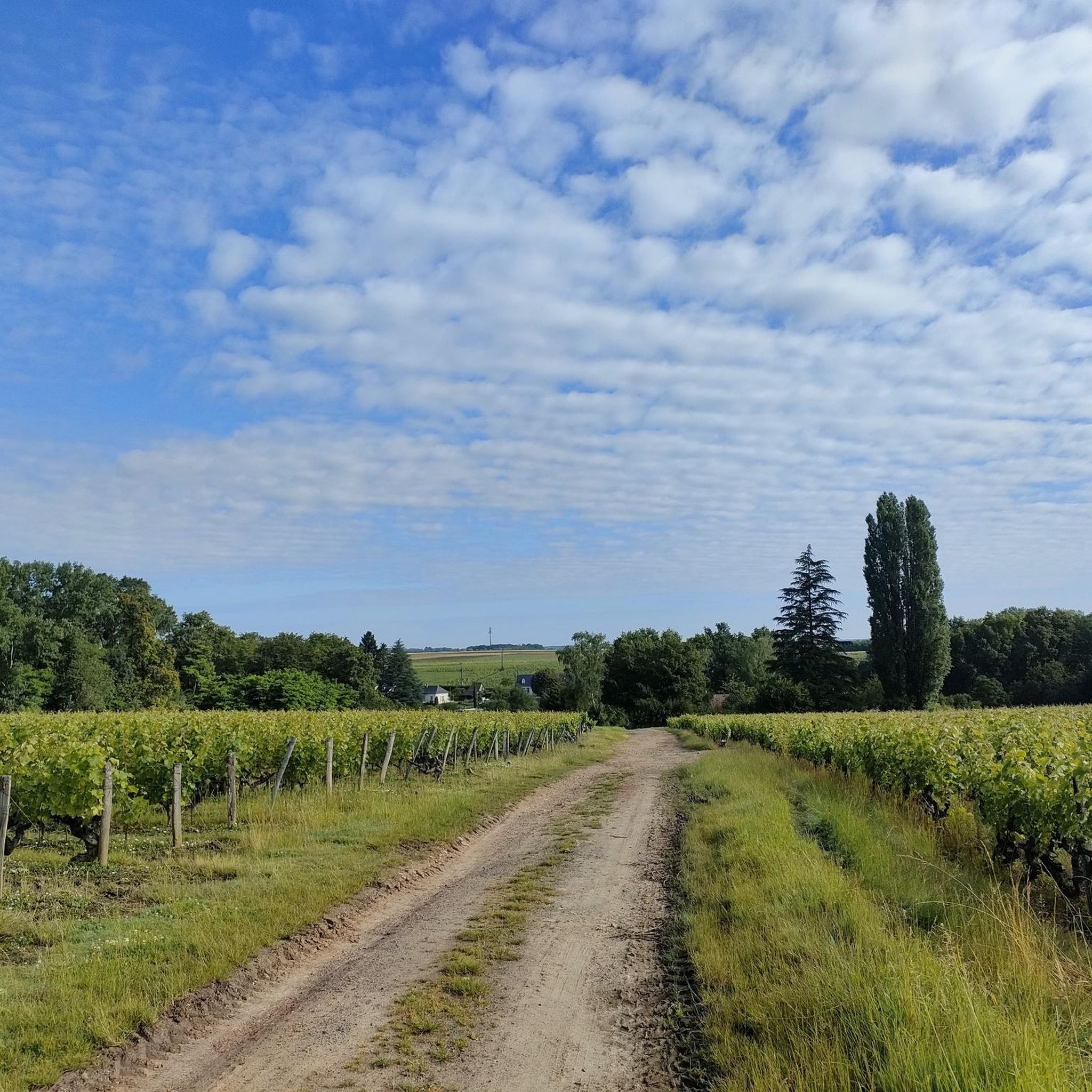
Gravel biking around Cerelles features a varied landscape. You'll encounter river valleys, extensive alluvial forests, and open agricultural plains. Routes often follow the banks of the Loire River, with sections through woodlands, open fields, and along historical waterways. Some trails include moderate climbs and descents.
Are there any challenging gravel bike routes for experienced riders?
For experienced riders seeking a challenge, the Meslay Barn – The alluvial forest loop from Notre-Dame-d'Oé is a difficult route. It spans 111.5 km with significant elevation gain, leading through the alluvial forest and past rural barns.
What are some scenic viewpoints or landmarks I can see along the gravel trails?
Many routes offer scenic views along the Loire River. You might pass by historical structures like the Wilson Bridge or the Saint-Symphorien Suspension Bridge. The The alluvial forest – Beaumont Castle loop from Carqueterie, for instance, explores the alluvial forest and passes by Beaumont Castle.
Are there any circular gravel biking routes available?
Yes, all the featured routes in the Cerelles area are designed as loops. For example, the popular Lanterne de Rochecorbon – Iron Bridge Over the Loire loop from La Membrolle-sur-Choisille is a 41.2 km circular trail along the Loire River and through the countryside.
What do other gravel bikers say about the trails in Cerelles?
The gravel biking routes in Cerelles are highly rated by the komoot community, with an average score of 4.5 stars from over 10 reviews. Riders often praise the diverse terrain, from riverine paths to dense alluvial forests, and the mix of natural and historical scenery.
When is the best time of year for gravel biking in Cerelles?
The region is generally pleasant for gravel biking from spring through autumn, when the weather is mild. While winter conditions can vary, some trails may be less suitable due to wet or muddy conditions in the alluvial forests.
Are there any routes that pass through the alluvial forest?
Several routes explore the extensive alluvial forest. The The alluvial forest – Beaumont Castle loop from Carqueterie and the Meslay Barn – The alluvial forest loop from Notre-Dame-d'Oé are prime examples, offering immersive experiences in this unique natural environment.
What is the typical distance and elevation gain for gravel bike routes in Cerelles?
Route distances vary significantly, from shorter rides like the 21.4 km easy trail to challenging routes over 110 km. Elevation gains range from around 88 meters for easier paths to over 870 meters for more difficult, longer excursions.
Are there any less crowded gravel trails around Cerelles?
While specific crowd levels can vary, exploring the longer, more challenging routes or venturing into the deeper sections of the alluvial forests, such as on the Parc de la Cousinerie – The alluvial forest loop from Europe, might offer a more secluded experience compared to popular riverside paths closer to towns.
Most popular attractions around Cerelles

Get inspired with the komoot mobile app


Explore more
Browse the best Gravel rides in other regions.
