The best gravel rides around Dachstein
4.6
(22)
126
riders
50
rides
Gravel biking around Dachstein offers diverse terrain across its UNESCO World Heritage landscape, characterized by the majestic Dachstein massif, extensive karst formations, and numerous alpine lakes. The region provides a network of gravel and forest roads, alongside quieter side roads, suitable for various skill levels. Riders can explore a mix of asphalt, gravel paths, and forest trails, often featuring significant elevation changes through alpine forests and picturesque lake shores.
Best gravel bike trails around Dachstein
- The most popular gravel bike…
Last updated: October 6, 2026
5.0
(1)
8
riders
80.7km
06:20
1,390m
1,390m
Hard gravel ride. Very good fitness required. Mostly paved surfaces. Suitable for all skill levels.
4.3
(3)
19
riders
69.0km
05:11
1,200m
1,200m
Hard gravel ride. Very good fitness required. You may need to push your bike for some segments of this route.

5.0
(1)
14
riders
56.8km
04:08
1,060m
1,060m
Hard gravel ride. Very good fitness required. Mostly paved surfaces. Suitable for all skill levels.
4.0
(2)
6
riders
51.7km
04:23
1,060m
1,060m
Hard gravel ride. Very good fitness required. You may need to push your bike for some segments of this route.
5.0
(7)
14
riders
52.2km
03:20
540m
540m
Hard gravel ride. Very good fitness required. Mostly paved surfaces. Suitable for all skill levels.
Get access to more routes and recommendations from other explorers.
Already have an account?
Our route recommendations are based on thousands of hikes, rides, and runs completed by other people on komoot.
Start today with a free account
Your next adventure awaits.
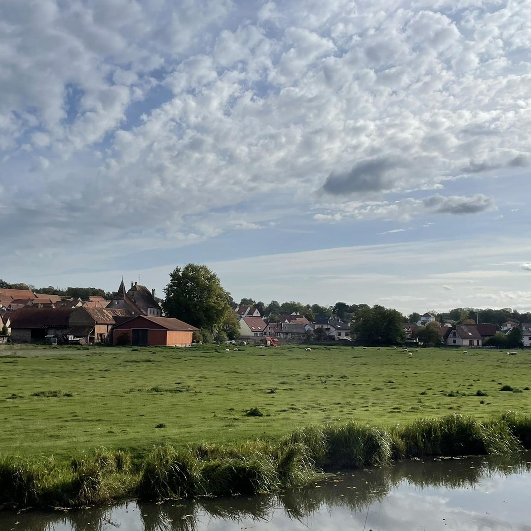
Tips from the Community


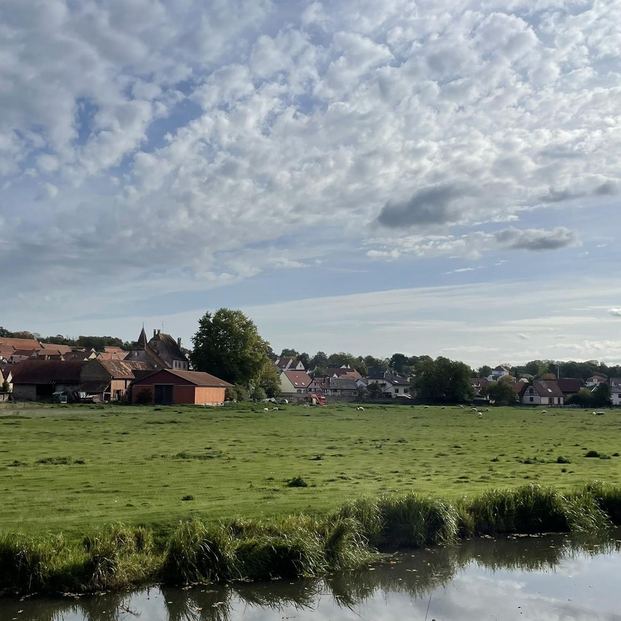
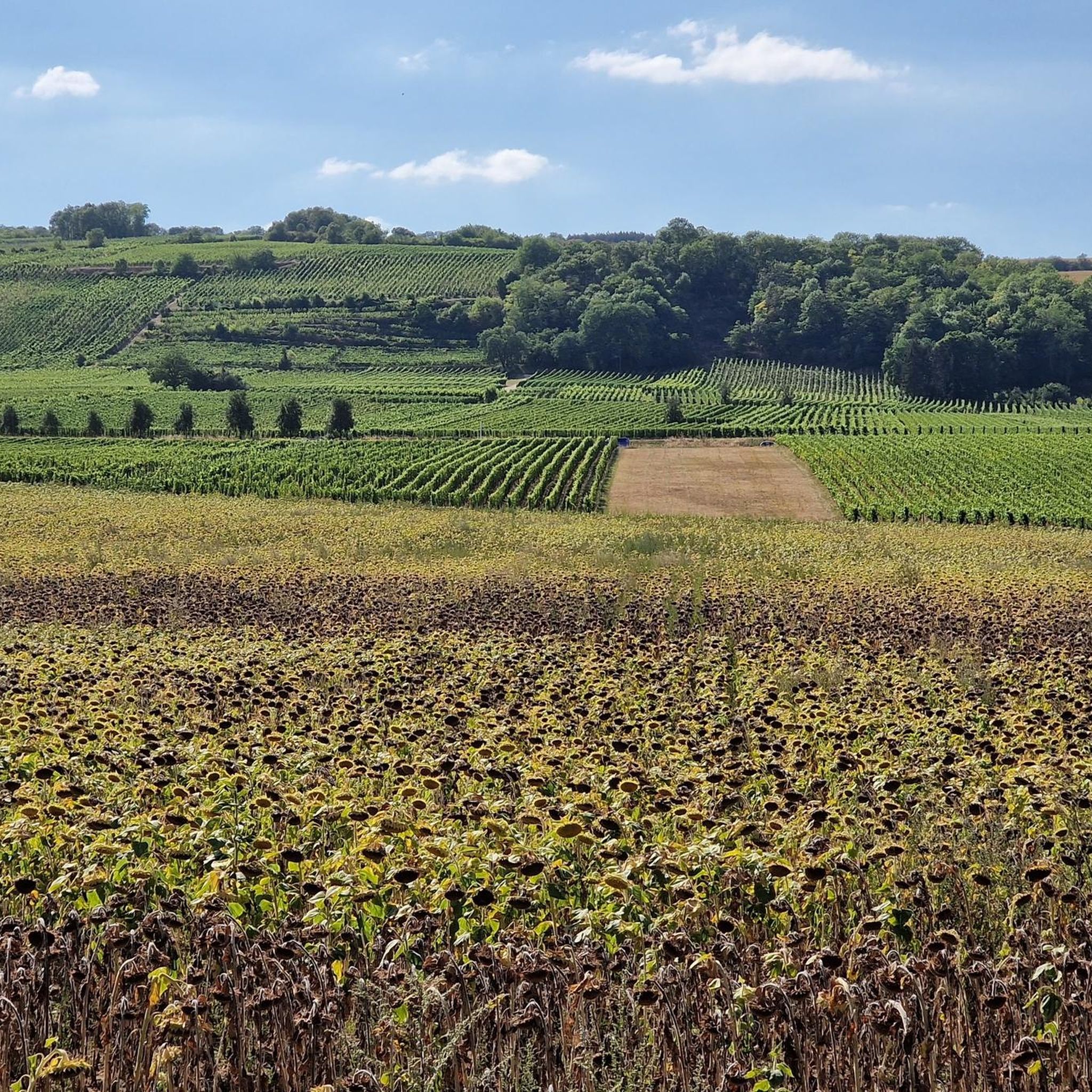
Very nice to ride: moderate gradient, little traffic.
0
1

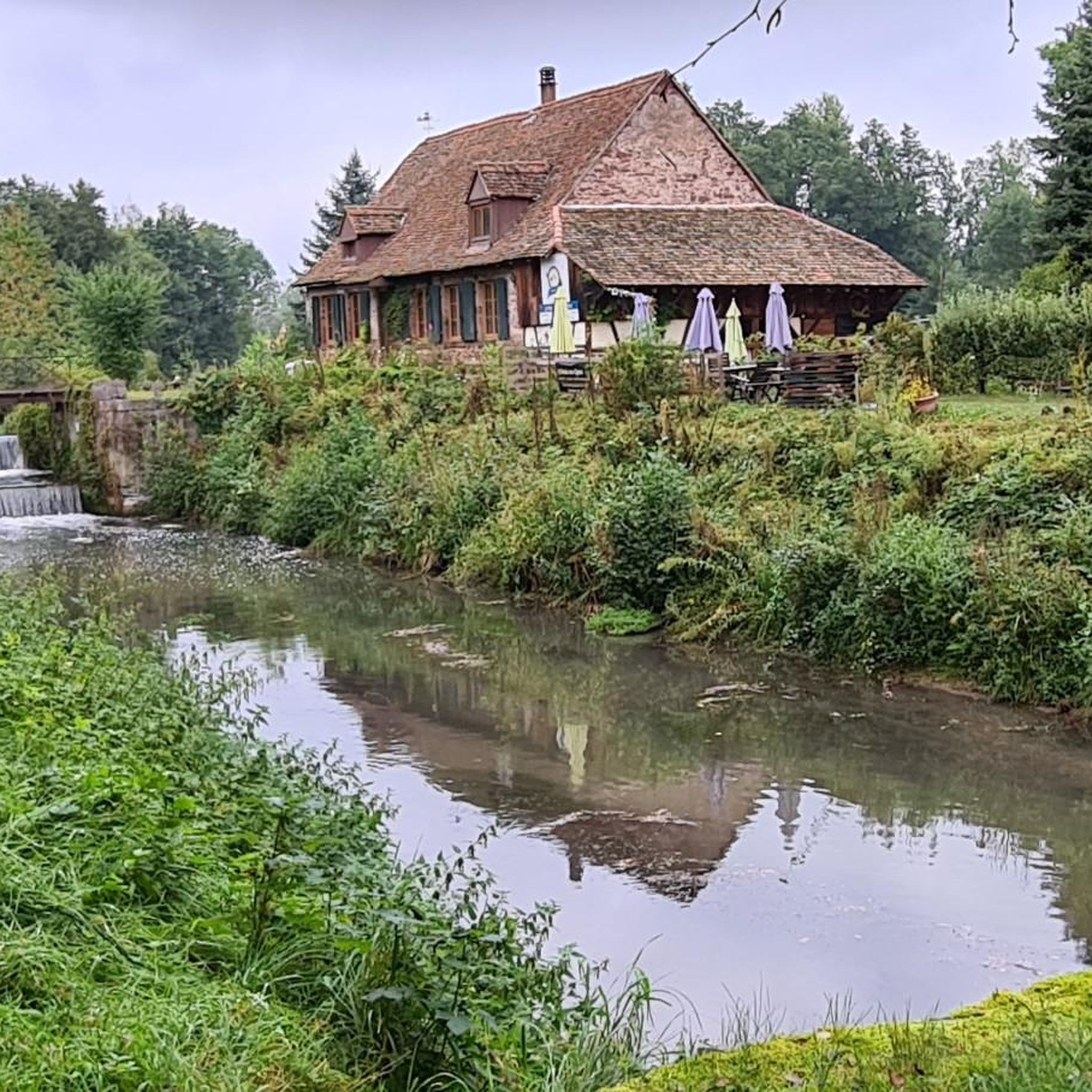
idyllic riverside cycle path, many cyclists, joggers and walkers
0
0

Easy-to-ride cycle path.
0
0

Next to the bridge there is a picnic table
0
0

A tour through Molsheim is worthwhile with its beautiful preserved houses and churches
0
0

Nice little town with lots of half-timbered houses and opportunities to take a break
1
0

The parish church, built in 1771 in Ottrott-le-Haut, is dedicated to Saints Simon and Jude and features the characteristics of 17th-century Alsatian churches. In 1793, Silbermann organs from the Collegiate Church of St. Leonard were installed there. Numerous concerts were held there, to the great delight of music lovers.
3
0
Frequently Asked Questions
What kind of terrain can I expect on gravel bike trails around Dachstein?
The Dachstein region offers a diverse mix of terrain for gravel biking. You'll find extensive networks of gravel and forest roads, alongside quieter side roads. Routes often combine asphalt, gravel paths, and forest trails, providing varied surfaces suitable for different skill levels. Expect significant elevation changes, from rolling hills to demanding climbs, set against a backdrop of alpine forests, karst landscapes, and picturesque lake shores.
How many gravel bike trails are available in the Dachstein region?
There are over 80 gravel bike trails in the Dachstein region documented on komoot. This includes a wide range of options, with 6 easy routes, 33 moderate routes, and 47 difficult routes, ensuring there's something for every skill level.
Are there challenging gravel routes for experienced riders in Dachstein?
Yes, the Dachstein region offers numerous challenging gravel routes for experienced riders. Many tours feature substantial elevation gain and demanding sections. For instance, you can explore a challenging mountain ascent, a difficult 42.9-mile (69.2 km) path with significant elevation, or a demanding high-altitude loop, a 34.8-mile (56.0 km) trail through alpine forests and open landscapes.
What are some natural features or landmarks I might see along the gravel trails?
Gravel biking in Dachstein offers breathtaking panoramic views of the Alps, majestic mountains, and picturesque lakes such as Lake Hallstatt, Lake Gosau, and Lake Wolfgangsee. The region is also known for its karst landscape, featuring impressive show caves like the Giant Ice Cave and Mammoth Cave. While specific highlights along every route vary, you might encounter scenic points like the Canal de la Bruche cycle path or explore areas near charming towns like Obernai.
What do other gravel bikers enjoy most about the Dachstein region?
The Dachstein region is highly rated by the komoot community, with an average score of 4.6 stars from over 30 reviews. Riders frequently praise the diverse terrain, from moderate forest paths to demanding climbs, and the stunning natural beauty of the UNESCO World Heritage landscape. Many appreciate the extensive network of gravel and forest roads that allow for exploration away from heavy traffic.
Are there any family-friendly gravel biking options in Dachstein?
While many routes in Dachstein involve significant elevation, there are options suitable for families. Look for routes described as 'easy' or 'moderate' that stick to flatter sections of forest roads or quieter side roads. These often provide a more relaxed experience, allowing families to enjoy the scenic beauty without overly strenuous climbs. Always check the route's elevation profile and distance to ensure it matches your family's capabilities.
Can I find circular gravel bike routes in Dachstein?
Yes, many gravel bike routes in the Dachstein region are designed as circular loops, allowing you to start and end at the same point. For example, you can enjoy a scenic route through varied terrain, which is a 38.7-mile (62.4 km) loop offering a moderate challenge. Another option is a high-altitude loop, a 46.3-mile (46.3 km) route with considerable elevation gain.
What is the best time of year for gravel biking in Dachstein?
The best time for gravel biking in Dachstein is generally from late spring to early autumn (May to October). During these months, the weather is typically mild, and most trails are free of snow. Summer offers warmer temperatures and longer daylight hours, while spring and autumn provide cooler rides and vibrant foliage. Always check local weather forecasts and trail conditions before heading out, especially in higher alpine areas where snow can persist longer.
Are there any easy or beginner-friendly gravel trails in Dachstein?
Yes, Dachstein offers several easy gravel routes suitable for beginners or those looking for a more relaxed ride. These trails typically feature less elevation gain and smoother surfaces, often following forest paths or quieter roads. For instance, there are 6 routes classified as 'easy' on komoot, providing a gentle introduction to gravel biking in the region.
Is public transport available to access gravel bike trailheads in Dachstein?
The Dachstein region has public transport options that can help you access various trailheads. Buses often connect major towns and villages, and some services may accommodate bikes, though it's always best to check specific schedules and bike transport policies in advance. Utilizing public transport can be a great way to plan point-to-point rides or reach starting points for more remote trails.
Are there any specific permits required for gravel biking on trails in Dachstein?
Generally, no specific permits are required for gravel biking on designated public roads and trails in the Dachstein region. However, it's crucial to respect local regulations, especially when riding through protected areas, private land, or nature reserves. Always stay on marked paths, avoid disturbing wildlife, and adhere to any signage regarding access restrictions. If you plan to enter specific national park areas or private estates, it's advisable to check their individual rules.
Can I find cafes or places to stop for refreshments along the gravel routes?
Yes, many gravel routes in the Dachstein region pass through or near charming villages and towns where you can find cafes, restaurants, and traditional guesthouses. These spots offer opportunities to refuel, enjoy local cuisine, and take a break. Planning your route with komoot allows you to identify such amenities along your chosen path, ensuring you have refreshment stops when needed.
Most popular attractions around Dachstein

Get inspired with the komoot mobile app


Explore more
Browse the best Gravel rides in other regions.
