The best gravel rides around Duppigheim
4.6
(34)
153
riders
41
rides
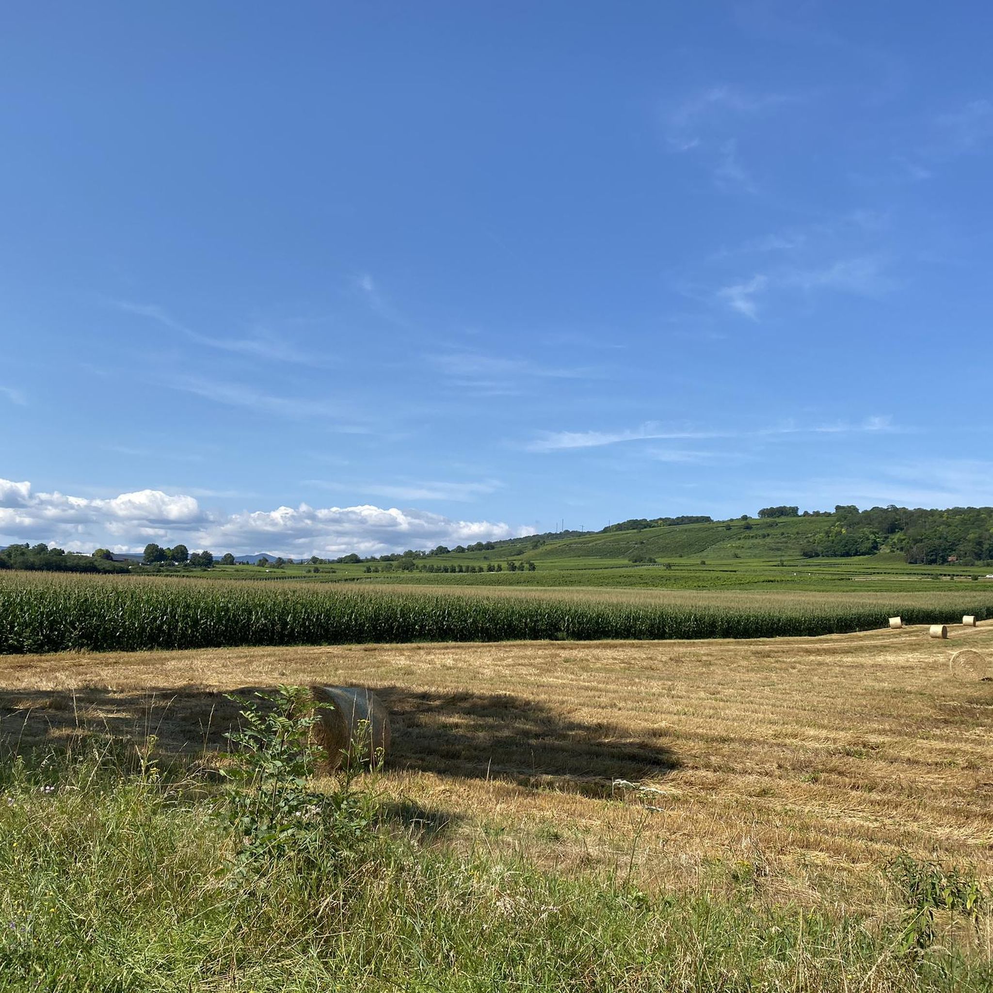
Gravel bike trails around Duppigheim traverse a varied landscape, from the flat river plains of the Bruche Canal to the rolling foothills of the Vosges mountains. The region features vast farmlands, winding rivers, and established cycling routes. This terrain provides diverse conditions for gravel biking, including gentle gradients along canals and more challenging climbs in forested sections.
Best gravel bike trails around Duppigheim
- The most popular gravel bike trail is Canal de la Bruche – Canal de la Bruche loop…
Last updated: October 6, 2026
4.3
(3)
19
riders
69.0km
05:11
1,200m
1,200m
Hard gravel ride. Very good fitness required. You may need to push your bike for some segments of this route.
5.0
(1)
10
riders
118km
07:53
1,380m
1,380m
Hard gravel ride. Very good fitness required. You may need to push your bike for some segments of this route.

4.5
(2)
14
riders
74.5km
04:50
790m
790m
Hard gravel ride. Very good fitness required. Mostly paved surfaces. Suitable for all skill levels.
22
riders
Moderate gravel ride. Good fitness required. Mostly paved surfaces. Suitable for all skill levels.
4.6
(7)
9
riders
Moderate gravel ride. Good fitness required. Mostly paved surfaces. Suitable for all skill levels.
Get access to more routes and recommendations from other explorers.
Already have an account?
Our route recommendations are based on thousands of hikes, rides, and runs completed by other people on komoot.
Start today with a free account
Your next adventure awaits.
Tips from the Community

The Odilienberg (763 m) in Alsace is the most important spiritual center of the region. Founded around 690 by Saint Odilia, the monastery attracts hundreds of thousands of pilgrims annually. The centerpiece of the complex is the Basilica of the Assumption of Mary (1687–1692) with the burial chapel, where the relics of the patron saint rest in an 8th-century sandstone sarcophagus. Directly on the panoramic terrace are the Chapel of Tears and the Chapel of Angels (12th century), known for their luminous gold mosaics from 1935. Inside the basilica, there is also a fine wooden inlaid Way of the Cross by Charles Spindler. Below the monastery rocks runs a magnificent hiking trail. It leads past the monumental, colorful ceramic Way of the Cross (14 stations) and the Lourdes Grotto, both integrated directly into the red sandstone by Léon Elchinger in the 1930s. About a 15-minute walk further down, the Odilien spring emerges in the forest, its water traditionally sought for eye ailments. The entire mountain plateau is enclosed by the Heidenmauer, a mysterious, 11-kilometer-long prehistoric defensive wall. Following the hiking trails further south, you reach the Maennelstein (817 m), the highest point of the ridge, which offers a wide panoramic view over the Rhine plain to the Black Forest. The monastery grounds are open all year round and admission is free. Would you like to use this short text for a brochure or are you still looking for information on how to get there for your tour? AI answers may contain errors. For legal advice, you should consult an expert. More information
0
1


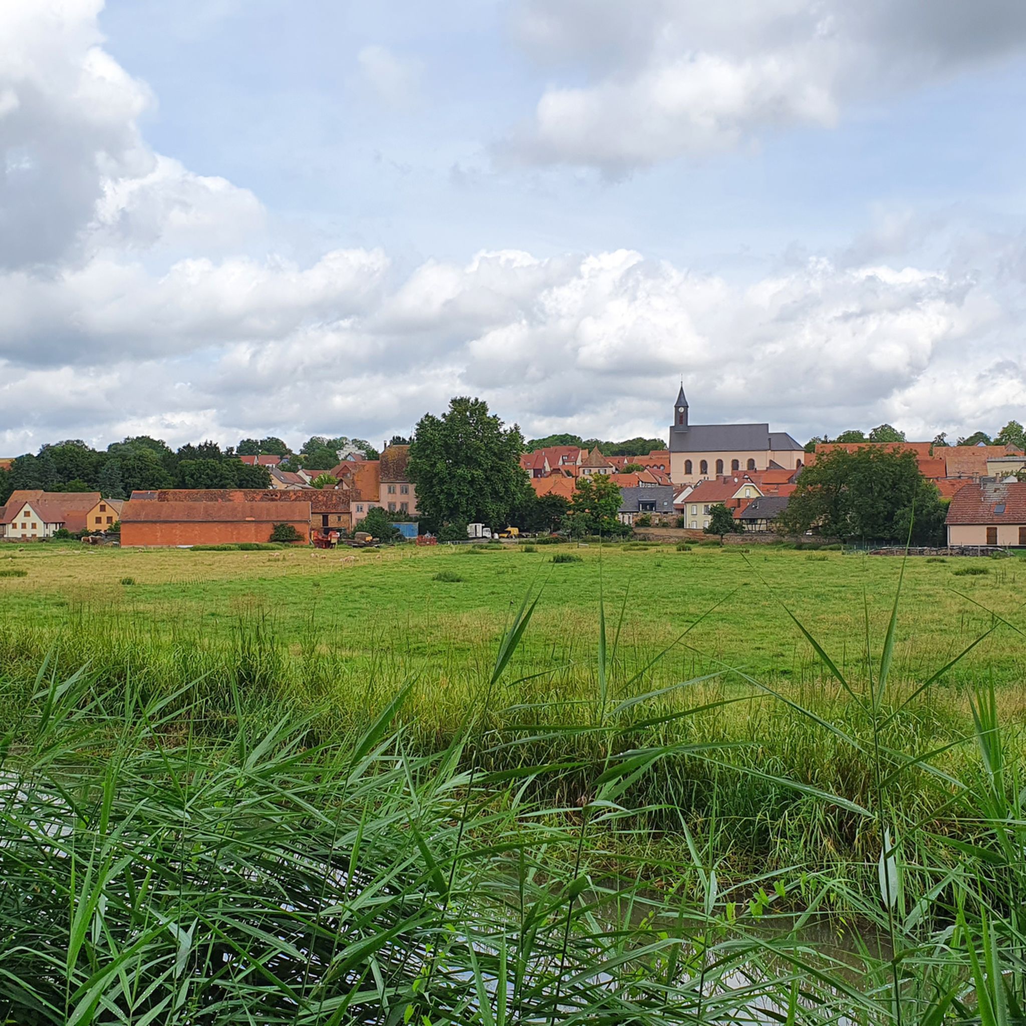
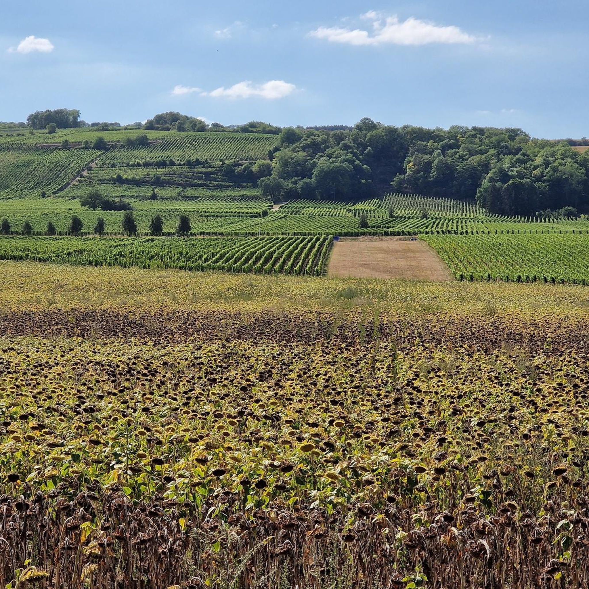
The cycle paths through the vineyards are simply fantastic and the views are very beautiful.
0
0

Great place to sit and watch the set over the lake
1
0
Lovely cycling scenery but beware of the poor surfaces where tree roots grow under the tarmac
0
0


The wetlands near Wantzenau are very worth seeing.
0
0
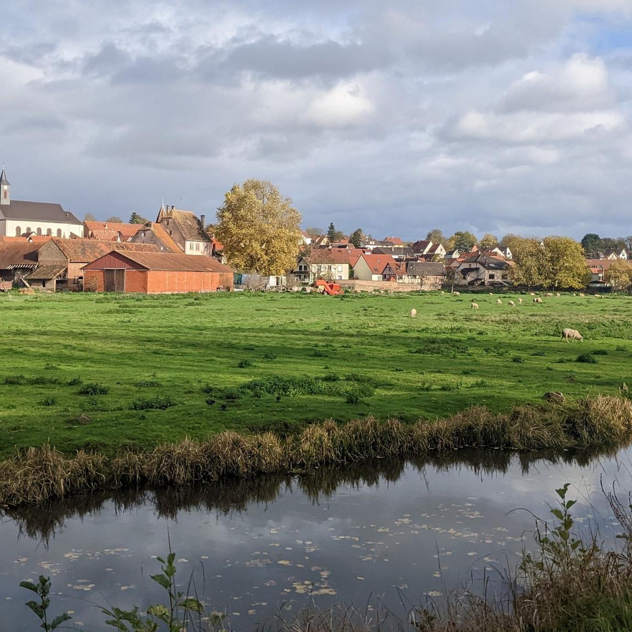
Beautiful view of the riverbank and the Ill in Wantzenau.
0
0
Frequently Asked Questions
How many gravel bike trails are available around Duppigheim?
There are over 80 gravel bike trails around Duppigheim listed on komoot. This includes a wide range of options, from easier canal-side rides to more challenging routes with significant climbs into the foothills.
What is the general difficulty of gravel biking in Duppigheim?
Gravel biking around Duppigheim offers a diverse range of difficulties. You'll find routes along the flat river plains of the Bruche Canal that are suitable for beginners, as well as more challenging trails with substantial elevation gain in the rolling foothills of the Vosges mountains. Out of the 84 available routes, 8 are considered easy, 32 moderate, and 44 difficult.
Are there any beginner-friendly gravel bike trails near Duppigheim?
Yes, beginners can enjoy the flatter sections, particularly those following the canals. While the most popular route, the Canal de la Bruche – Canal de la Bruche loop from Duppigheim, is rated moderate due to its length (62.4 km), its elevation gain is minimal (253m), making it accessible for those looking for a less strenuous ride. There are 8 easy routes available in total.
What are some challenging gravel bike routes for experienced riders?
Experienced riders looking for a challenge will find plenty of options with significant elevation gain. For instance, the Relais du Geisweg – Molsheim Old Town loop from Molsheim is a difficult 69.2 km path with over 1190m of ascent. Another demanding option is the Avolsheim – View of the Bruche loop from Graffenstaden, which covers 118.5 km with over 1340m of climbing.
Are there circular gravel bike trails around Duppigheim?
Yes, many of the gravel bike trails around Duppigheim are designed as loops, allowing you to start and end at the same point. Examples include the popular Canal de la Bruche – Canal de la Bruche loop from Duppigheim and the more challenging Mont Sainte-Odile Abbey – Mount Saint Odile loop from Altorf.
What kind of terrain can I expect on gravel bike trails in Duppigheim?
The terrain around Duppigheim is quite varied. You'll encounter flat agricultural paths, dedicated riverside routes along the Bruche Canal, and forested sections as you venture into the rolling foothills of the Vosges. This mix provides diverse conditions, from smooth gravel to more rugged, unpaved tracks.
What is the best time of year for gravel biking in Duppigheim?
The best time for gravel biking in Duppigheim is generally from spring through autumn (April to October). During these months, the weather is typically mild, and the trails are in good condition. Summer offers longer daylight hours, while spring and autumn provide pleasant temperatures and beautiful scenery.
What are the winter conditions like for gravel biking around Duppigheim?
Winter conditions can vary. While the lower-lying canal paths might remain rideable, higher elevation routes in the Vosges foothills could be affected by snow, ice, or muddy conditions. It's advisable to check local weather forecasts and trail conditions before heading out during winter months.
What can I see along the gravel bike trails near Duppigheim?
Many routes follow the scenic canals, such as the Canal de la Bruche cycle path or the Canal du Rhône au Rhin. These offer pleasant views of the waterways and surrounding countryside. Some trails also lead through charming villages and past agricultural landscapes, providing a glimpse into the region's character.
Are there any cafes or places to stop for refreshments along the routes?
While specific cafes directly on every trail are not guaranteed, many routes pass through or near small towns and villages where you can find bakeries, cafes, or restaurants. Planning your route with komoot allows you to identify potential stops for refreshments along the way, especially in larger towns like Molsheim.
What do other gravel bikers enjoy most about gravel biking in Duppigheim?
The area is highly rated by the komoot community, with an average score of 4.6 stars from over 30 reviews. Reviewers often praise the varied terrain, which offers a good mix of flat canal paths and challenging climbs, as well as the scenic beauty of the agricultural fields and forested sections.
Where can I find parking for gravel bike trails in Duppigheim?
Parking is generally available in Duppigheim itself, often near the starting points of popular routes or in public parking areas within the village. For routes starting in nearby towns like Molsheim or Graffenstaden, you'll typically find designated parking facilities there as well. Always check local signage for parking regulations.
Most popular routes around Duppigheim
Most popular attractions around Duppigheim

Get inspired with the komoot mobile app


Explore more
Browse the best Gravel rides in other regions.
