The best gravel rides around Ugine
4.4
(47)
440
riders
37
rides
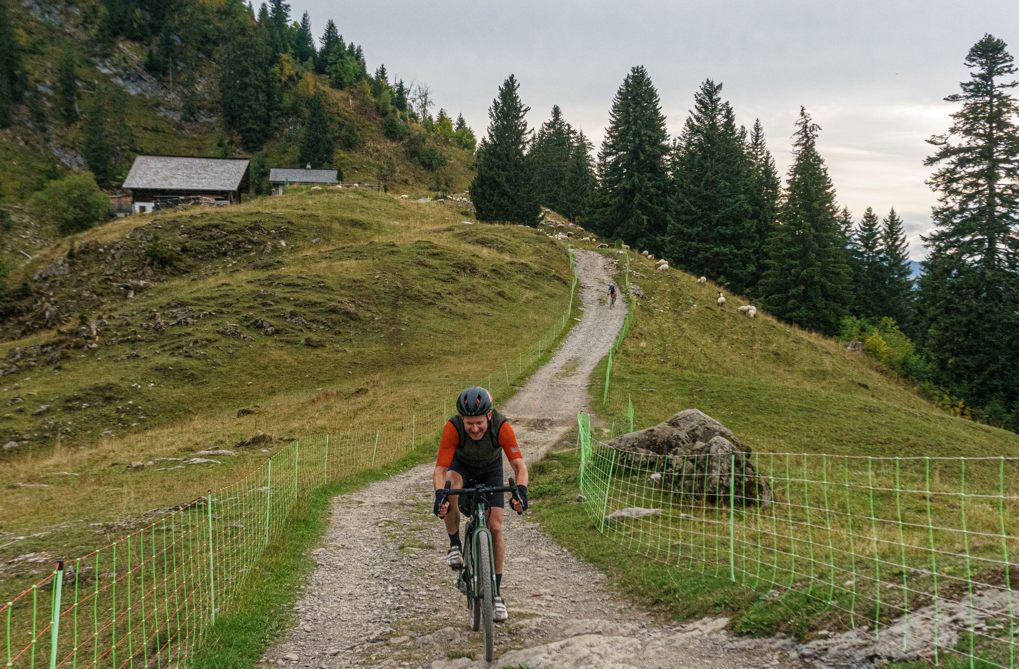
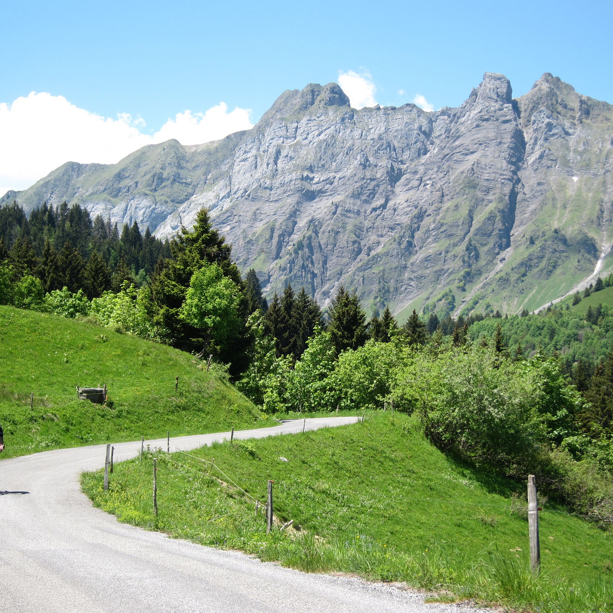
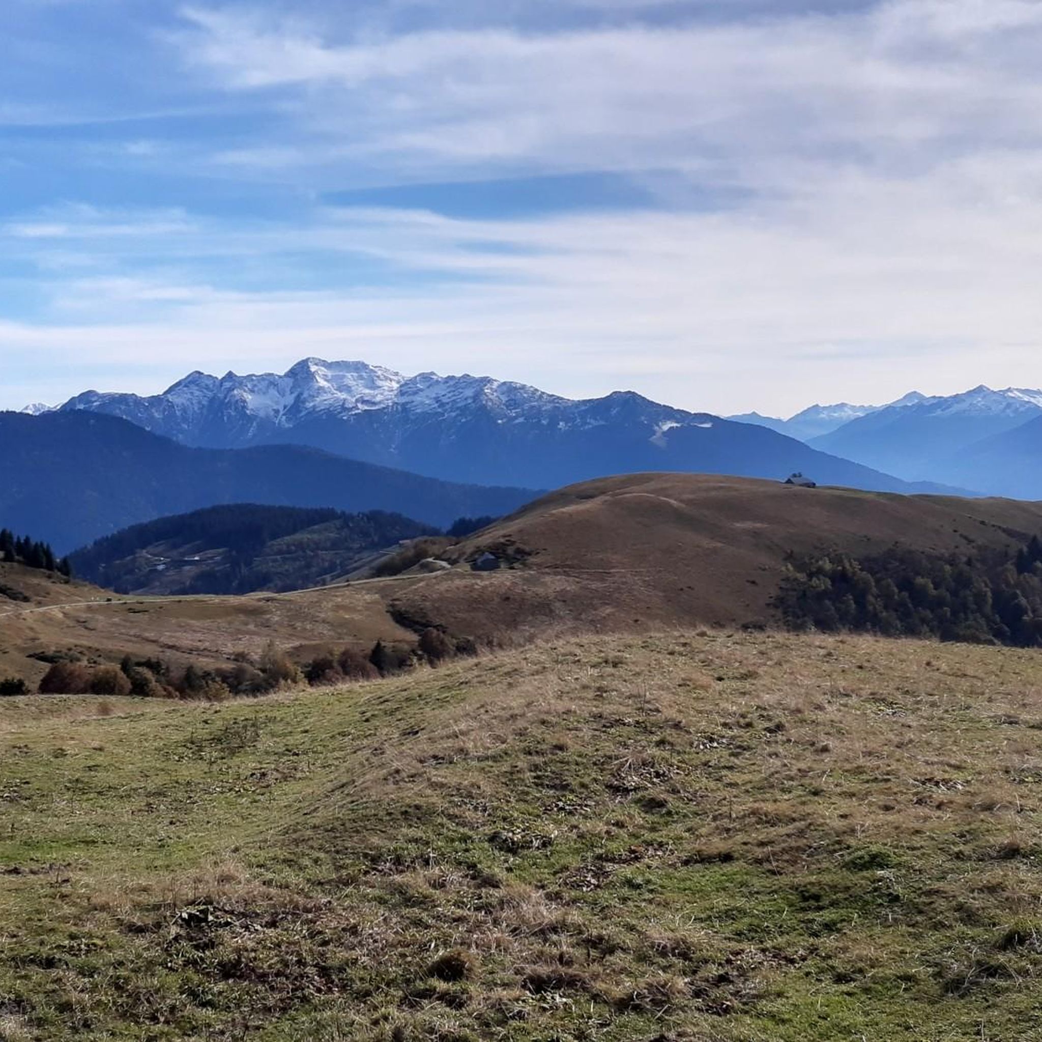
Gravel biking around Ugine offers access to varied terrain at the foot of the Aravis mountains and the gateway to the Massif des Bauges Regional Nature Park. The region features significant elevation changes, with routes navigating through valleys, forests, and high-altitude paths. This area provides a mix of paved roads, dirt tracks, and gravel paths, ideal for diverse gravel biking experiences.
Best gravel bike trails around Ugine
- The most popular gravel bike trail is The thirsty road, a 26.8…
Last updated: July 3, 2026
5.0
(2)
21
riders
28.9km
02:18
870m
870m
Hard gravel ride. Very good fitness required. Mostly paved surfaces. Suitable for all skill levels.
5.0
(4)
19
riders
33.8km
02:31
920m
920m
Hard gravel ride. Very good fitness required. Mostly paved surfaces. Suitable for all skill levels.

Sign up for free
11
riders
32.8km
02:48
1,140m
1,140m
Hard gravel ride. Very good fitness required. Mostly paved surfaces. Suitable for all skill levels.
4.3
(3)
42
riders
70.2km
05:34
2,290m
2,290m
Hard gravel ride. Very good fitness required. Mostly paved surfaces. Suitable for all skill levels.
5.0
(1)
24
riders
75.4km
05:26
2,070m
2,070m
Hard gravel ride. Very good fitness required. Mostly paved surfaces. Suitable for all skill levels.
Get access to more routes and recommendations from other explorers.
Sign up for free
Already have an account?
Our route recommendations are based on thousands of hikes, rides, and runs completed by other people on komoot.
Start today with a free account
Your next adventure awaits.
Login or Signup
Other adventures around Ugine

Tips from the Community

Nice small pass, decent but steady climb. Great views and a nice restaurant at the pass, Refuge Auberge du Col de l'Arpettaz
3
0
Pleasant D12 as an ascent to the Marais.
1
0
relatively little traffic, D909, ascent to the Aravis, nice information for cyclists.
2
0
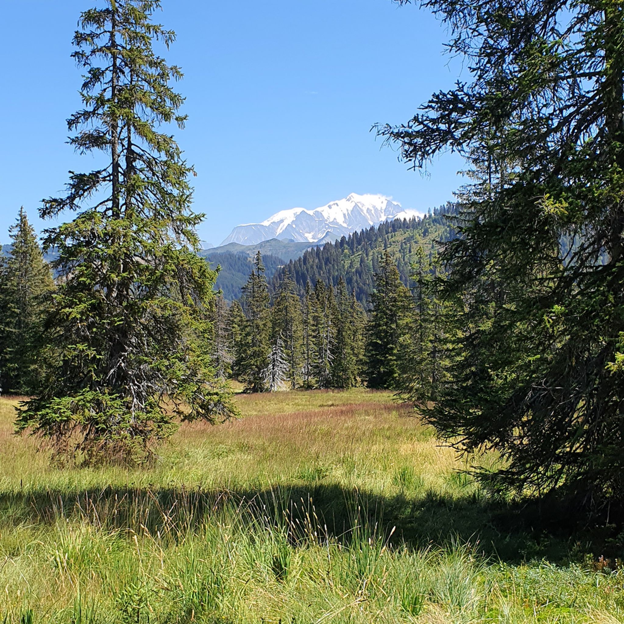
At the Aravis there is a beautiful view towards Mont Blanc, if the weather is good.
2
0

Magnificent view from the pass, but impossible on gravel.
1
0

Incredibly beautiful road, and quite demanding on gravel
1
0

Beautiful Col des Aravis, less frequented than the Col de la Colombière and the Col des Aravis.
0
1

Frequently Asked Questions
How many gravel bike trails are available around Ugine?
There are over 40 gravel bike routes around Ugine, catering to various skill levels. While most are challenging, you can find a few moderate and easy options. The region's diverse terrain, from valleys to high-altitude paths, ensures a varied experience for every rider.
What kind of terrain can I expect on gravel bike trails near Ugine?
Gravel biking around Ugine offers a mix of paved roads, dirt tracks, and gravel paths. You'll navigate through valleys, forests, and high-altitude passes. Many routes feature significant elevation gains, with some reaching over 1,500 meters, making them ideal for those seeking challenging climbs and rewarding descents. The area is known for its extensive network of military roads and forest service tracks.
Are there any easy or beginner-friendly gravel routes in the Ugine area?
While the majority of gravel routes around Ugine are rated as difficult, there are a few easier options available. These routes typically offer less extreme elevation changes and less technical surfaces, providing a good starting point for beginners or those looking for a more relaxed ride. For example, the area has 2 routes rated as easy and 2 as moderate.
What are some challenging gravel bike routes around Ugine?
For experienced gravel bikers seeking a challenge, Ugine offers numerous difficult routes with significant elevation gains. A notable option is The thirsty road, a 26.8-mile trail with over 1,300 meters of elevation gain. Another demanding route is the Joly Pass – Col des Saisies loop from Villard-sur-Doron, which covers over 55 km and features nearly 1,800 meters of ascent.
What natural features or landmarks can I see along the gravel bike trails?
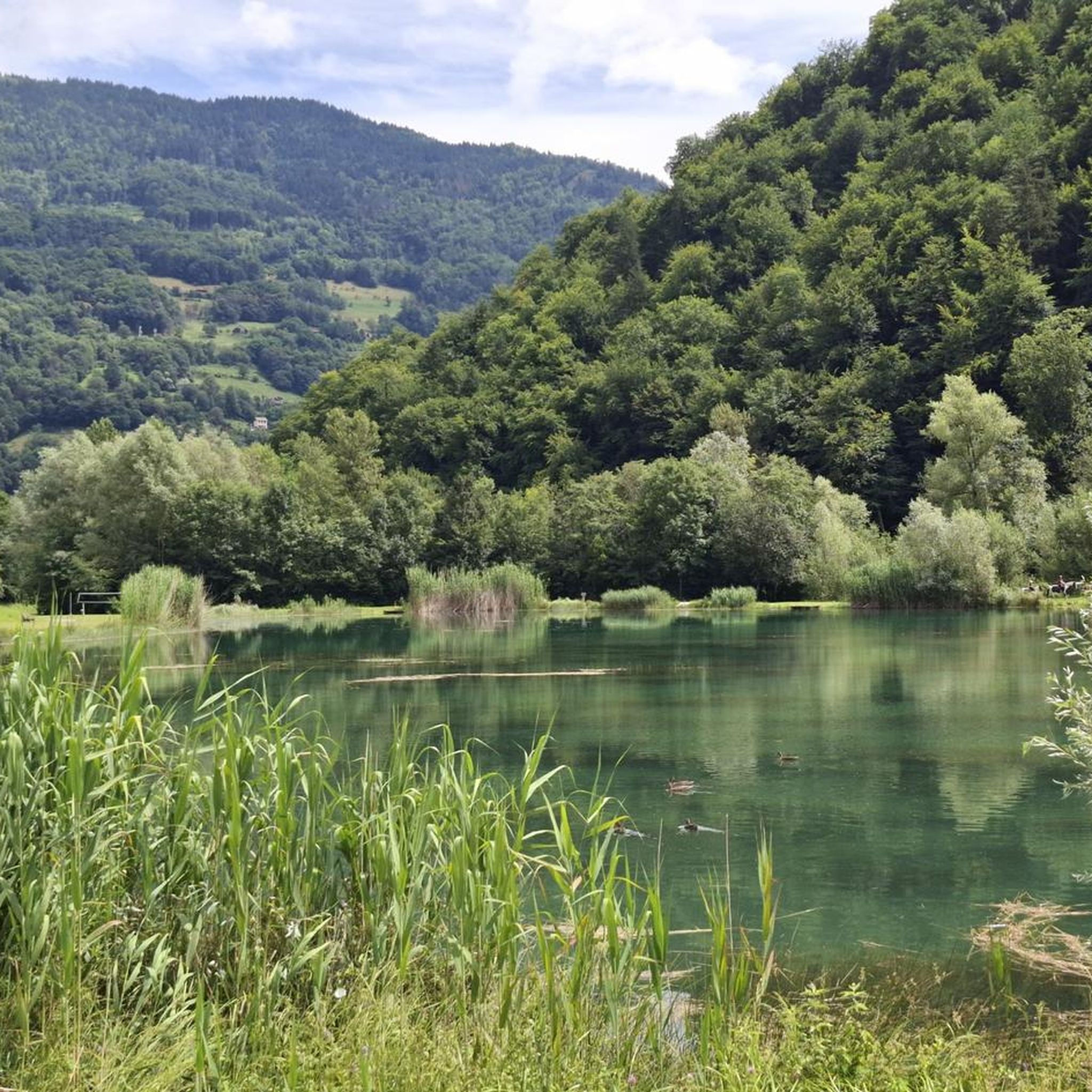
The Ugine region is rich in natural beauty and offers access to stunning landscapes. You can explore routes that pass by beautiful lakes such as Confins Lake and Évettes Lake. Many trails also traverse high mountain passes like the Col des Saisies and Col de l'Arpettaz, offering breathtaking panoramic views of the Aravis mountains and the Massif des Bauges Regional Nature Park. You might also encounter historic sites like the 13th-century Château du Crest-Cherel in Ugine itself.
Are there any circular gravel bike routes in the Ugine area?
Yes, many gravel routes around Ugine are designed as loops, allowing you to start and finish at the same point. For instance, the Col de l'Arpettaz – Route de la Soif loop from Col de L'Arpettaz is a popular 17.9-mile option that navigates through forests and mountain pastures. Another great loop is the Col des Saisies – Col du Very loop from Crest-Voland, offering high mountain passes and scenic views.
What is the best time of year for gravel biking around Ugine?
The best time for gravel biking in Ugine is typically from late spring to early autumn (May to October). During these months, the weather is generally more stable, and mountain passes are clear of snow. Summer offers warm temperatures, but spring and autumn provide cooler conditions and vibrant scenery. Always be prepared for unpredictable mountain weather, and consider carrying a lightweight rain jacket.
Are there family-friendly gravel trails in Ugine?
While many routes in Ugine are challenging, families can find suitable sections or easier trails, especially those with less elevation gain and smoother surfaces. Look for routes that stick to valley floors or less technical forest roads. It's always recommended to check the route details and difficulty ratings on komoot to ensure it matches your family's skill level.
What do other gravel bikers enjoy most about gravel biking in Ugine?
The gravel biking experience in Ugine is highly rated by the komoot community, with an average score of 4.2 stars from over 40 reviews. Riders frequently praise the diverse terrain, the challenging climbs through stunning mountain landscapes, and the opportunity to explore less-known paths and forest service roads. The panoramic views from high passes and the sense of adventure are also commonly highlighted.
Where can I find parking for gravel bike trails in Ugine?
Parking is generally available in and around Ugine, as well as at various starting points for popular routes. Many trailheads, especially those near villages or mountain passes like Col des Saisies, will have designated parking areas. It's advisable to check specific route descriptions on komoot for details on parking availability at the recommended starting points.
Can I reach Ugine and its gravel trails using public transport with my bike?
Ugine is accessible by public transport, primarily by bus services connecting it to larger towns in the Savoie region. While trains might get you to nearby cities like Albertville, local bus services would be necessary to reach Ugine. Bringing bikes on public transport can vary by service and time of year, so it's best to check with local transport providers in advance regarding their bike carriage policies and any associated fees or restrictions.
Are there any cafes or restaurants along the gravel bike routes in Ugine?
Yes, many routes, especially those passing through villages or near popular mountain passes, offer opportunities to stop at cafes, restaurants, or even mountain huts. For example, you might find places like Le Patafan Mountain Restaurant or Plan de l'Aar Refuge. It's always a good idea to plan your route and check for amenities beforehand, especially on longer or more remote trails.
What kind of tires are recommended for gravel biking in Ugine?
Given the varied and often demanding terrain around Ugine, which includes dirt tracks, gravel paths, and sometimes rocky sections, it is recommended to use wide (40mm+) and knobby tires. These provide better traction, comfort, and stability on the challenging Alpine gravel surfaces, enhancing your riding experience and safety.
Most popular attractions around Ugine

Get inspired with the komoot mobile app


Explore more
Browse the best Gravel rides in other regions.
