The best gravel rides around La Roche-Sur-Foron
4.6
(58)
526
riders
59
rides
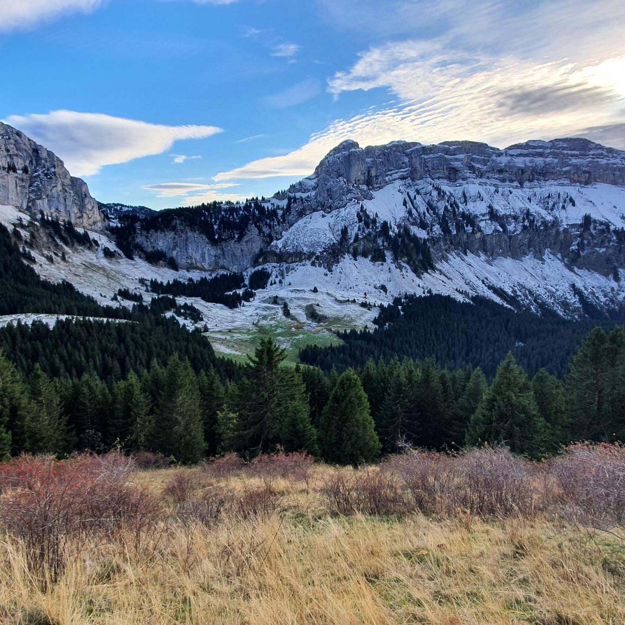
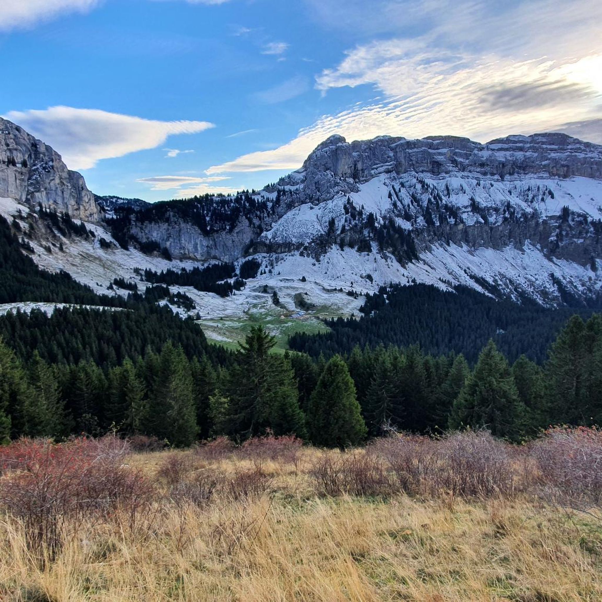
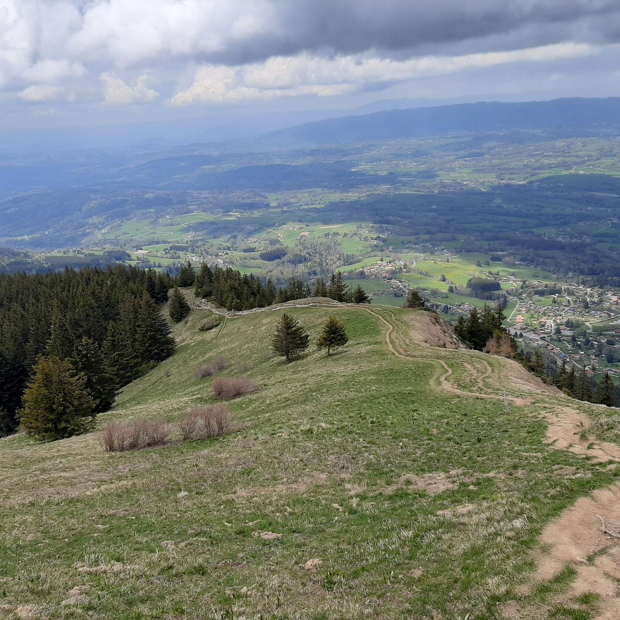
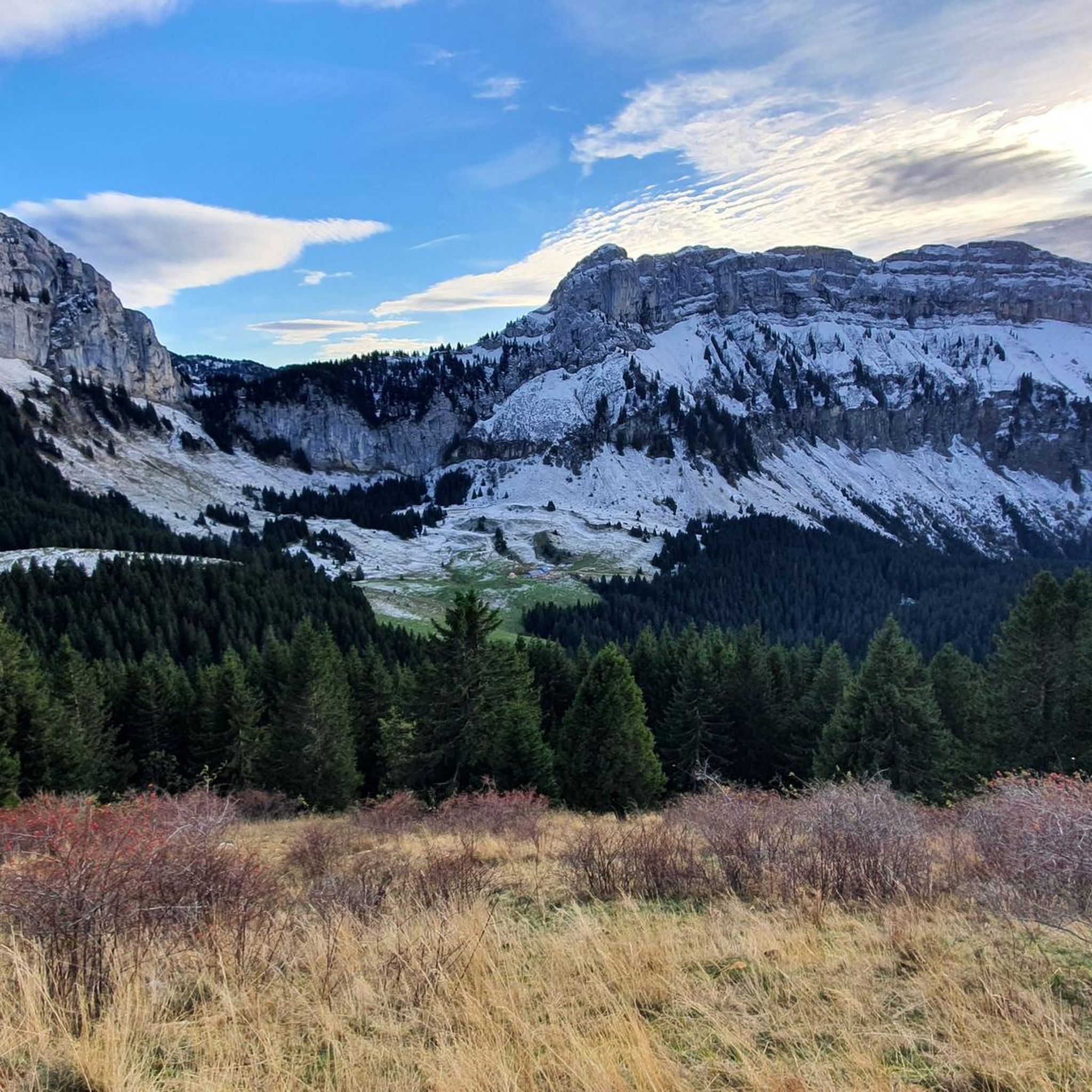
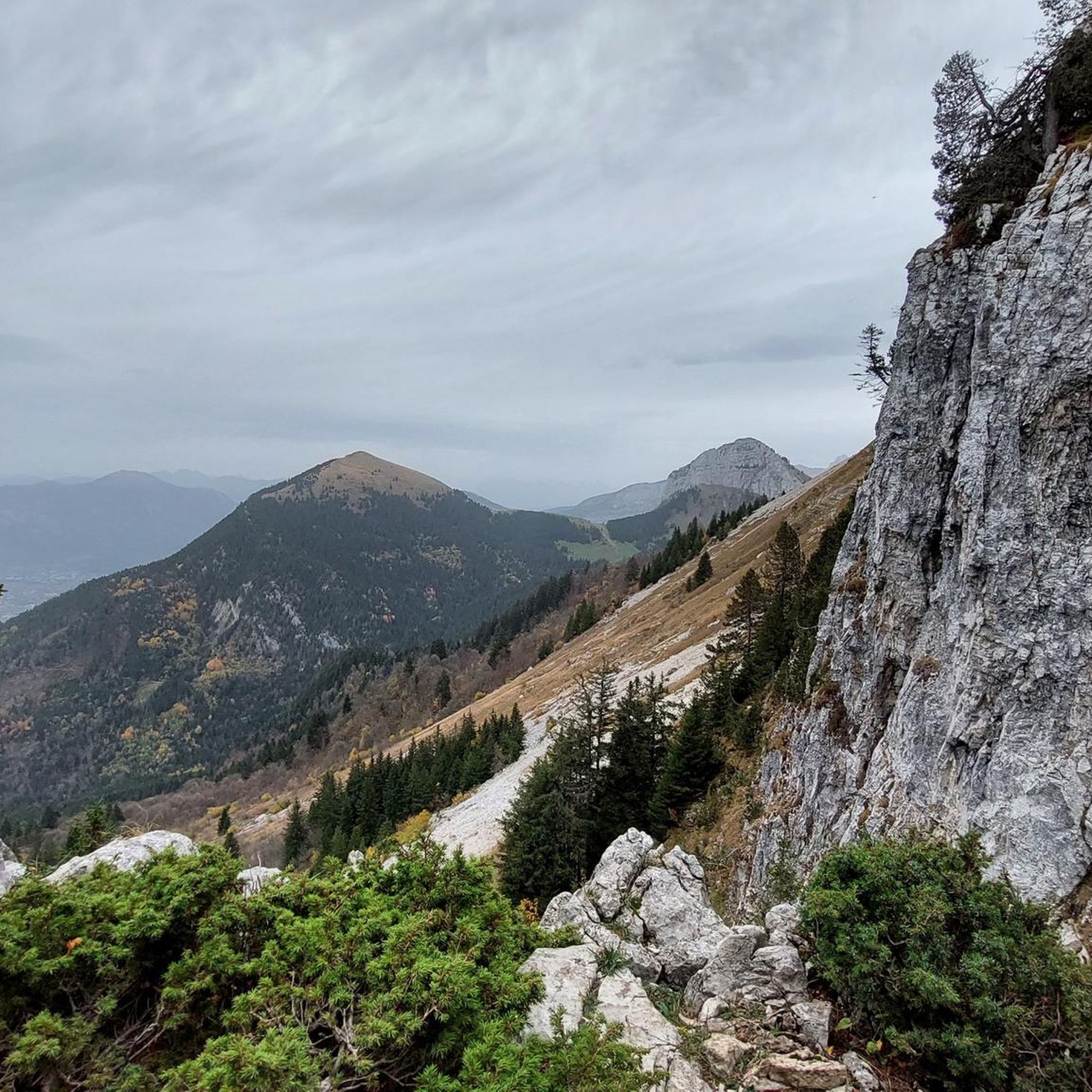
Gravel biking around La Roche-Sur-Foron offers diverse landscapes at the foot of the Haute-Savoie mountains. The region is characterized by an alpine environment with prominent peaks like Le Môle and Grand Bargy, providing varied terrain for cyclists. Routes often combine paved and unpaved segments, traversing agricultural fields, forests, and pastoral trails. The area features significant elevation changes and views over the Arve Valley and picturesque Foron Valley.
Best gravel bike trails around La Roche-Sur-Foron
- The most popular gravel bike trail…
Last updated: July 3, 2026
18
riders
42.0km
02:40
420m
420m
Moderate gravel ride. Good fitness required. Mostly paved surfaces. Suitable for all skill levels.
4.4
(5)
23
riders
36.4km
02:33
770m
770m
Hard gravel ride. Very good fitness required. Mostly paved surfaces. Suitable for all skill levels.

Sign up for free
4.8
(5)
36
riders
Moderate gravel ride. Good fitness required. Mostly paved surfaces. Suitable for all skill levels.
4.0
(1)
8
riders
40.0km
02:29
290m
290m
Moderate gravel ride. Good fitness required. Mostly paved surfaces. Suitable for all skill levels.
5
riders
31.9km
02:23
570m
570m
Hard gravel ride. Very good fitness required. Mostly paved surfaces. Suitable for all skill levels.
Get access to more routes and recommendations from other explorers.
Sign up for free
Already have an account?
Our route recommendations are based on thousands of hikes, rides, and runs completed by other people on komoot.
Start today with a free account
Your next adventure awaits.
Login or Signup

Tips from the Community


The structure is an asymmetrical cable-stayed bridge made of pre-stressed concrete, approximately 75 metres long. The pylon inclined at 15° to the vertical has the shape of an inverted V; the deck crosses this pylon without resting on it.
1
0
Intersection point Les Sablons Altitude 431m
1
0
Point of intersection Le Pelloux Altitude 427m
1
0
Point of intersection The Islands of Clermont Altitude 436m
1
0
Point d'intersection Sous Maclenay Altitude 435m
1
0
Point of intersection Passerelle de Saint Pierre Altitude 437m on the left bank of the Arve
1
0

Frequently Asked Questions
How many gravel bike trails are available in La Roche-sur-Foron?
There are over 70 gravel bike trails around La Roche-sur-Foron, offering a wide range of options for different skill levels. You'll find everything from easy rides to challenging routes with significant climbs.
What kind of terrain can I expect on gravel bike trails around La Roche-sur-Foron?
The terrain around La Roche-sur-Foron is highly varied, reflecting its alpine environment at the foot of the Haute-Savoie mountains. Expect a mix of paved and unpaved segments, agricultural paths, forest roads, and pastoral trails. You'll encounter significant elevation changes, offering both challenging ascents and scenic descents.
Are there gravel bike trails suitable for beginners in La Roche-sur-Foron?
Yes, there are several easier gravel bike trails available. For instance, the Arve Path – Footbridge over the Arve loop from Saint-Pierre-en-Faucigny is a moderate route that offers a good introduction to the area's gravel biking without overly demanding climbs.
What are some scenic viewpoints I can reach on a gravel bike in this region?
The region is rich in panoramic viewpoints. You can find breathtaking views from various points, such as the D2 road climbing towards Thorens-Glières. The Pas du Roc viewpoint offers stunning vistas of the Pertuis valley. The Parc de l'Échelle also provides expansive views over the Arve Valley, framed by Le Môle and Grand Bargy.
Can I see any natural features like waterfalls or lakes on these routes?
Yes, the area boasts several natural attractions. You can visit the beautiful Cascade du Dard (Dard Waterfall) or explore the serene Lessy lake, which is situated at an altitude of 1,730 meters within the Aravis massif.
Are there historical sites or charming villages to explore on a gravel bike?
Absolutely. La Roche-sur-Foron is one of Haute-Savoie's most historic towns, with a medieval old town featuring cobbled streets and Renaissance-era houses. You can explore the remains of the castle of La Roche, including the circular Tour des comtes de Genève. For more information on the town's history, you can visit the Hautes-Savoie Mont Blanc Tourism website.
Are there any circular gravel bike routes in La Roche-sur-Foron?
Yes, many routes in the area are designed as loops. For example, the challenging Glières Pass – Col des Fleuries loop from La Roche-sur-Foron takes you through mountain passes, or you could try the Footbridge over the Arve – Arve Path loop from La Roche-sur-Foron for a riverside experience.
What is the typical length and duration of gravel bike routes in this area?
Route lengths vary significantly. You'll find routes ranging from around 28 km (17 miles) to over 50 km (31 miles). Durations can range from approximately 2.5 hours for shorter, easier routes to over 4.5 hours for longer, more challenging ones, depending on your pace and the elevation gain.
What is the best time of year for gravel biking in La Roche-sur-Foron?
The region is best enjoyed from spring through autumn. During these seasons, the weather is generally more favorable, and the trails are clear of snow, allowing for optimal exploration of the diverse landscapes and mountain passes. Winter riding can be challenging due to snow and colder temperatures at higher elevations.
Is public transport available for reaching the trails with a bike?
While local buses and trains connect La Roche-sur-Foron to surrounding towns, options for transporting bikes on public transport can be limited and vary by service. It's advisable to check with specific transport providers in advance regarding their bike carriage policies and any associated fees or restrictions.
What do other gravel bikers enjoy most about gravel biking in La Roche-sur-Foron?
The area is highly rated by the komoot community, with an average score of 4.6 stars. Reviewers often praise the diverse landscapes, the mix of challenging climbs and scenic descents, and the opportunity to explore wilder areas and authentic villages away from crowds. The varied terrain, including forest and pastoral trails, is also a frequently highlighted aspect.
Most popular routes around La Roche-Sur-Foron
Most popular attractions around La Roche-Sur-Foron

Get inspired with the komoot mobile app


Explore more
Browse the best Gravel rides in other regions.
