The best gravel rides around Drumettaz-Clarafond
4.6
(13)
161
riders
29
rides
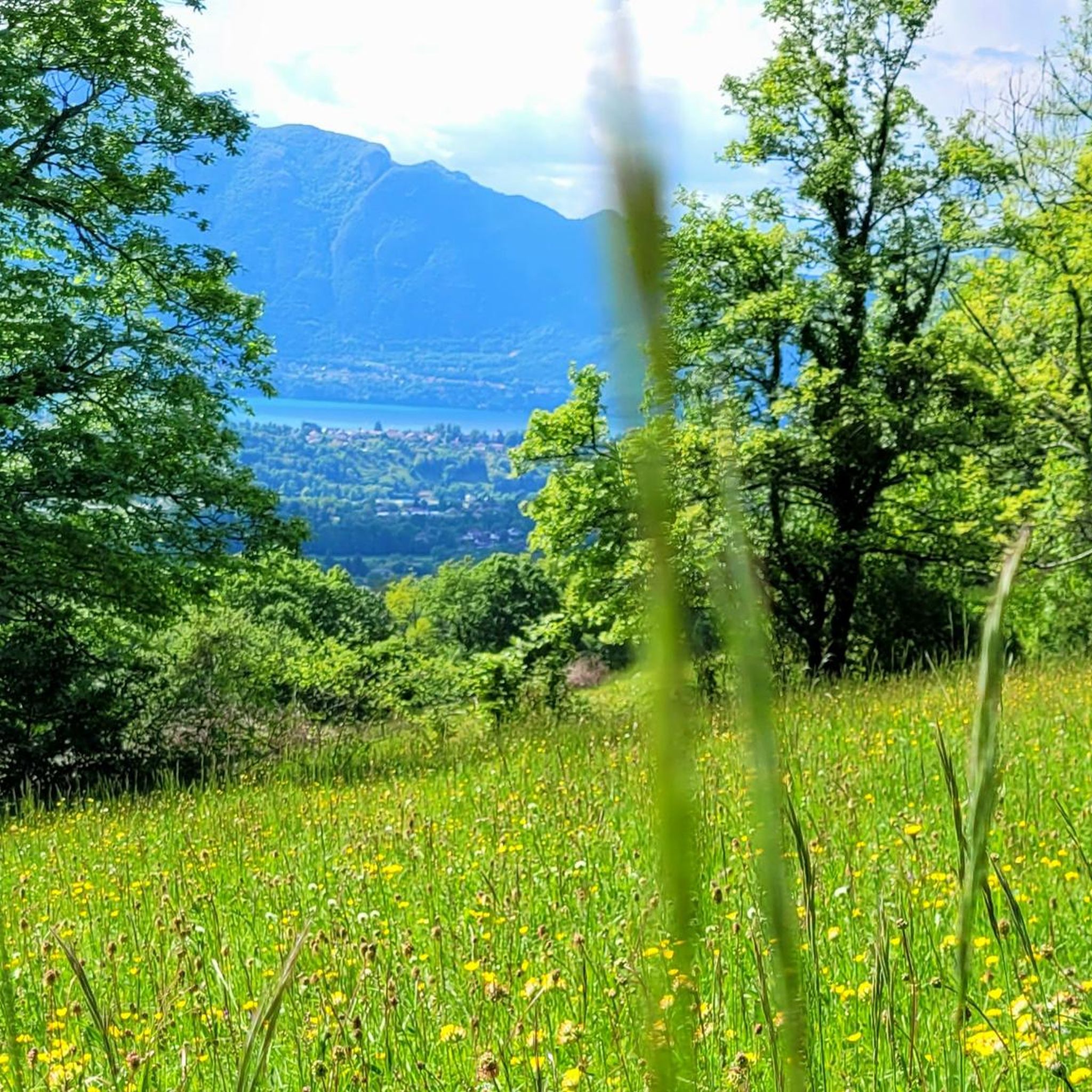
Gravel biking around Drumettaz-Clarafond offers diverse landscapes in the Savoie region of France, characterized by its proximity to Lac du Bourget and surrounding mountains. The terrain features a mix of paved roads, forest paths, dirt tracks, and gravel roads, providing varied surfaces for cyclists. This area includes notable ascents such as the Col du Chat and other mountain passes like Col de l'Épine, Mont Revard, and Col du Granier. The region's natural features include the expansive lake, mountain vistas, and natural monuments, creating a robust setting for outdoor activities.
Best gravel bike trails around Drumettaz-Clarafond
- The most popular gravel bike trail is Tourbière des Creusates – La Féclaz loop from Chambéry, a 17.6 miles (28.3 km) trail that takes 1 hour 46 minutes to complete. This moderate route offers a blend of forest paths and open sections.
- Another top favourite among local gravel bikers is Aix-les-Bains – Crosagny Pond loop from Aix-les-Bains, a moderate 23.5 miles (37.8 km) path. This route explores the area around Aix-les-Bains, featuring lakeside views and varied terrain.
- Local gravel bikers also love the Col de l'Épine viewpoint – Épine Pass loop from Viviers-du-Lac, a 24.9 miles (40.1 km) trail leading through mountain passes, often completed in about 2 hours 55 minutes.
- Gravel biking around Drumettaz-Clarafond is defined by the shores of Lac du Bourget, challenging mountain passes, and varied surfaces including forest paths and dirt tracks. The network offers options for different ability levels, from easy rides to demanding ascents.
- The routes in Drumettaz-Clarafond are highly rated by the komoot community with an average score of 4.5 stars from more than 30 reviews. More than 400 gravel bikers have used komoot to explore Drumettaz-Clarafond's varied terrain.
Last updated: July 3, 2026
5.0
(3)
17
riders
28.3km
01:46
340m
340m
Moderate gravel ride. Good fitness required. Mostly paved surfaces. Suitable for all skill levels.
4.0
(1)
15
riders
37.1km
02:16
240m
240m
Moderate gravel ride. Good fitness required. Mostly paved surfaces. Suitable for all skill levels.

Sign up for free
10
riders
40.1km
02:56
870m
870m
Hard gravel ride. Very good fitness required. You may need to push your bike for some segments of this route.
11
riders
16.1km
00:59
180m
180m
Moderate gravel ride. Good fitness required. Mostly paved surfaces. Suitable for all skill levels.
14
riders
61.3km
04:35
1,610m
1,610m
Hard gravel ride. Very good fitness required. Mostly paved surfaces. Suitable for all skill levels.
Get access to more routes and recommendations from other explorers.
Sign up for free
Already have an account?
Our route recommendations are based on thousands of hikes, rides, and runs completed by other people on komoot.
Start today with a free account
Your next adventure awaits.
Login or Signup

Tips from the Community

Beautiful cycle path from Bourget de Lac to Chambery.
0
0

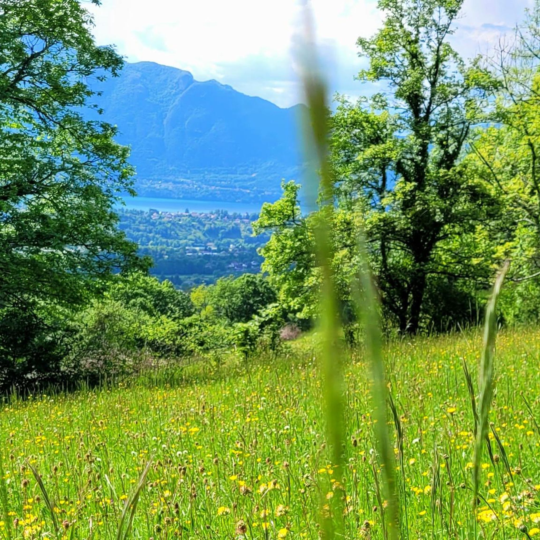
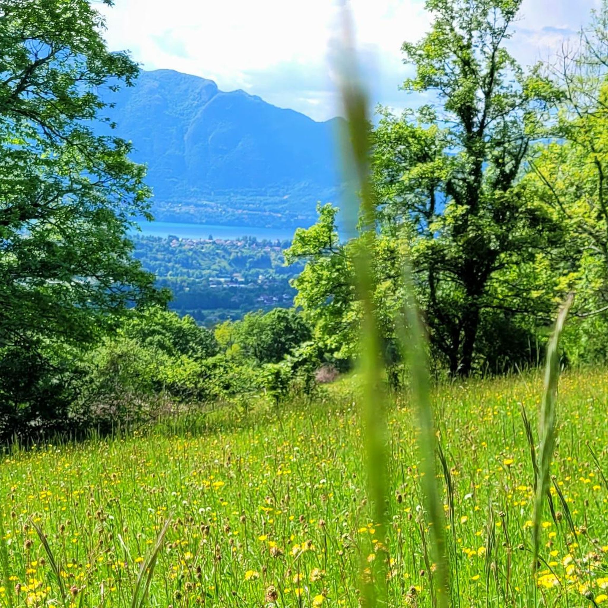
You never get tired of this view... Summer or winter
0
0
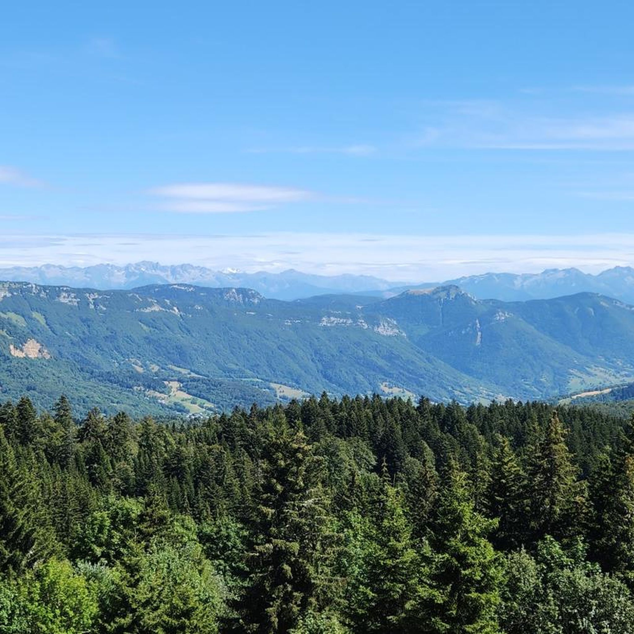
Hard and hot... But a beautiful panorama at the summit
0
0

@Julien Yes, yes, photos to prove it ;)
1
0
Here is the route for the ascent of the Col de Saint-Saturnin starting from Saint-Alban-Leysse
1
0


A very quiet and pleasant road. On the Chambéry side, a good part is in the shade, the slope of the main road is rather constant around 7-8%. On the Novalaise side, the mineral aspect with the cliff is more present in the middle of the climb. This side is quite steep with kilometers at 8-9%. On each side, 1 belvedere offers a breathtaking view of Lake Aiguebelette (approx. 2 km from the summit) and on the other side of Chambéry, the Bauges, Belledonne, the Chartreuse (500 m from the summit). The summit is in the forest.
1
0

Great, remember to take something to cover yourself with depending on the time of year…. Climbed in April, there was still snow at altitude. The descent was cool
1
0
Frequently Asked Questions
How many gravel bike trails are available around Drumettaz-Clarafond?
There are over 45 gravel bike trails around Drumettaz-Clarafond, offering a wide range of options for different skill levels and preferences. The komoot community has explored these routes over 400 times.
What kind of terrain can I expect on gravel bike trails in Drumettaz-Clarafond?
The terrain around Drumettaz-Clarafond is highly diverse, featuring a mix of paved roads, forest paths, dirt tracks, and classic gravel roads. This variety allows for a versatile riding experience, immersing you in the region's natural beauty.
Are there any family-friendly gravel bike routes in Drumettaz-Clarafond?
Yes, there are a few easier routes suitable for families or beginners. For instance, the La Féclaz loop from Chambéry is an easy option, covering about 9.5 km with minimal elevation gain.
Can I find challenging gravel bike routes with significant climbs in this region?
Absolutely. Drumettaz-Clarafond is known for its challenging ascents and mountain passes. You'll find 28 difficult routes, often involving significant elevation gain. Notable climbs include the Col du Chat, Col de l'Épine, Mont Revard, and Col du Granier. A challenging option is the Col de l'Épine viewpoint – Épine Pass loop from Viviers-du-Lac, which features over 870 meters of climbing.
What natural features or landmarks can I see along the gravel bike trails?
Many trails offer stunning views of Lake Bourget and the surrounding mountains. You can also encounter significant mountain passes like Col du Chat and Plainpalais Pass. The viewpoint at Ontex also provides magnificent panoramic views over the lake.
Are there circular gravel bike routes available around Drumettaz-Clarafond?
Yes, many of the gravel bike trails are designed as loops, allowing you to start and end at the same point. Examples include the popular Tourbière des Creusates – La Féclaz loop from Chambéry and the Aix-les-Bains – Crosagny Pond loop from Aix-les-Bains.
What is the best time of year for gravel biking in Drumettaz-Clarafond?
The region is generally best for gravel biking from spring through autumn. During these seasons, you can expect more favorable weather conditions, making the diverse terrain and mountain passes more accessible and enjoyable. Winter riding might be possible on lower elevation routes, but higher passes could be affected by snow or ice.
What do other gravel bikers say about the trails in Drumettaz-Clarafond?
The gravel biking routes in Drumettaz-Clarafond are highly rated by the komoot community, with an average score of 4.5 stars from over 30 reviews. Riders often praise the diverse landscapes, the mix of challenging ascents and scenic lakeside paths, and the overall natural beauty of the Savoie region.
Are there routes that offer views of Lac du Bourget?
Yes, many routes incorporate the shores of Lac du Bourget, providing stunning lakeside scenery and panoramic views. The western shore, in particular, offers elevated points with magnificent vistas. Look for routes that pass by Lovely view of Lake Bourget or the Mont du Chat lookout.
Are there any cafes or places to stop for refreshments along the routes?
While specific cafes are not listed for every route, the proximity to towns like Aix-les-Bains and Chambéry, as well as smaller villages, means you'll likely find opportunities for refreshments. Planning your route to pass through these areas will ensure you have options for breaks.
Is there public transport access to the gravel biking trails in Drumettaz-Clarafond?
Drumettaz-Clarafond is well-connected to larger towns like Aix-les-Bains and Chambéry, which typically have public transport options. You can often reach starting points of routes from these hubs, though specific bike carriage policies on public transport should be checked with local operators.
Where can I find parking for gravel biking trails in Drumettaz-Clarafond?
Parking is generally available in and around Drumettaz-Clarafond, especially in the nearby towns and villages that serve as common starting points for routes. Look for designated parking areas in places like Viviers-du-Lac, Aix-les-Bains, or Chambéry, depending on your chosen trail's starting location.
Most popular routes around Drumettaz-Clarafond
Most popular attractions around Drumettaz-Clarafond

Get inspired with the komoot mobile app


Explore more
Browse the best Gravel rides in other regions.
