The best gravel rides around Tourcoing
4.5
(777)
3,621
riders
115
rides
Gravel biking around Tourcoing offers a diverse landscape characterized by canal-side paths, green spaces, and access to broader regional networks. The area features relatively flat routes along waterways like the Canal de Roubaix, which provides varied terrain with both paved and gravel surfaces. Surrounding the city, the Hauts-de-France region extends opportunities for gravel cycling through a mix of forest tracks, small roads, and paths away from heavy traffic. This interconnected network allows for rides that combine urban green areas with…
Last updated: October 11, 2026
5.0
(2)
27
riders
51.0km
03:02
240m
240m
Moderate gravel ride. Good fitness required. Mostly paved surfaces. Suitable for all skill levels.
4.3
(4)
11
riders
35.0km
02:04
180m
180m
Moderate gravel ride. Good fitness required. Mostly paved surfaces. Suitable for all skill levels.

4.5
(8)
30
riders
35.5km
01:50
110m
110m
Easy gravel ride. Great for any fitness level. Mostly paved surfaces. Suitable for all skill levels.
16
riders
29.4km
01:25
50m
50m
Easy gravel ride. Great for any fitness level. Mostly paved surfaces. Suitable for all skill levels.
5.0
(2)
9
riders
40.2km
02:16
160m
160m
Moderate gravel ride. Good fitness required. Mostly paved surfaces. Suitable for all skill levels.
Get access to more routes and recommendations from other explorers.
Already have an account?
Our route recommendations are based on thousands of hikes, rides, and runs completed by other people on komoot.
Start today with a free account
Your next adventure awaits.
Tips from the Community


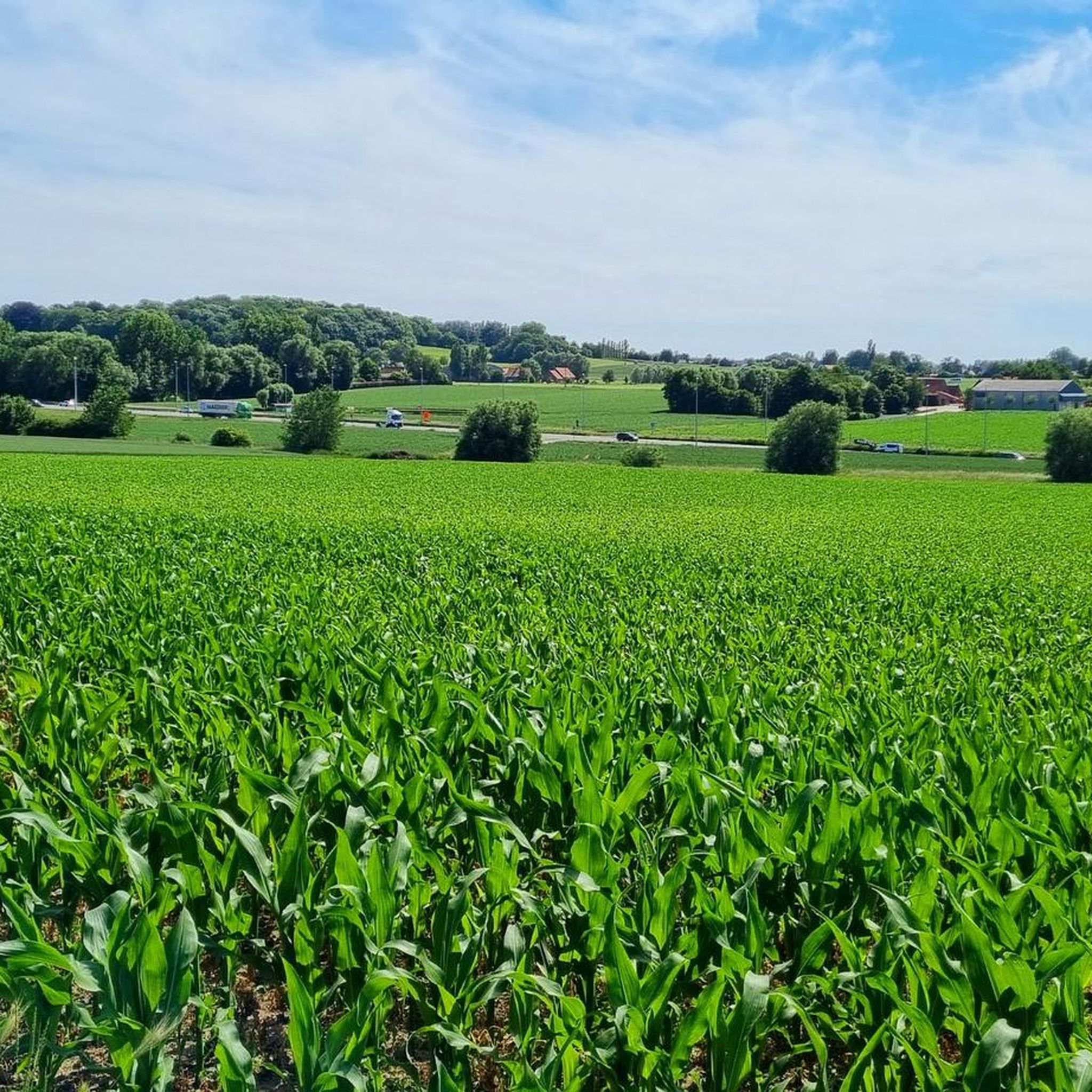
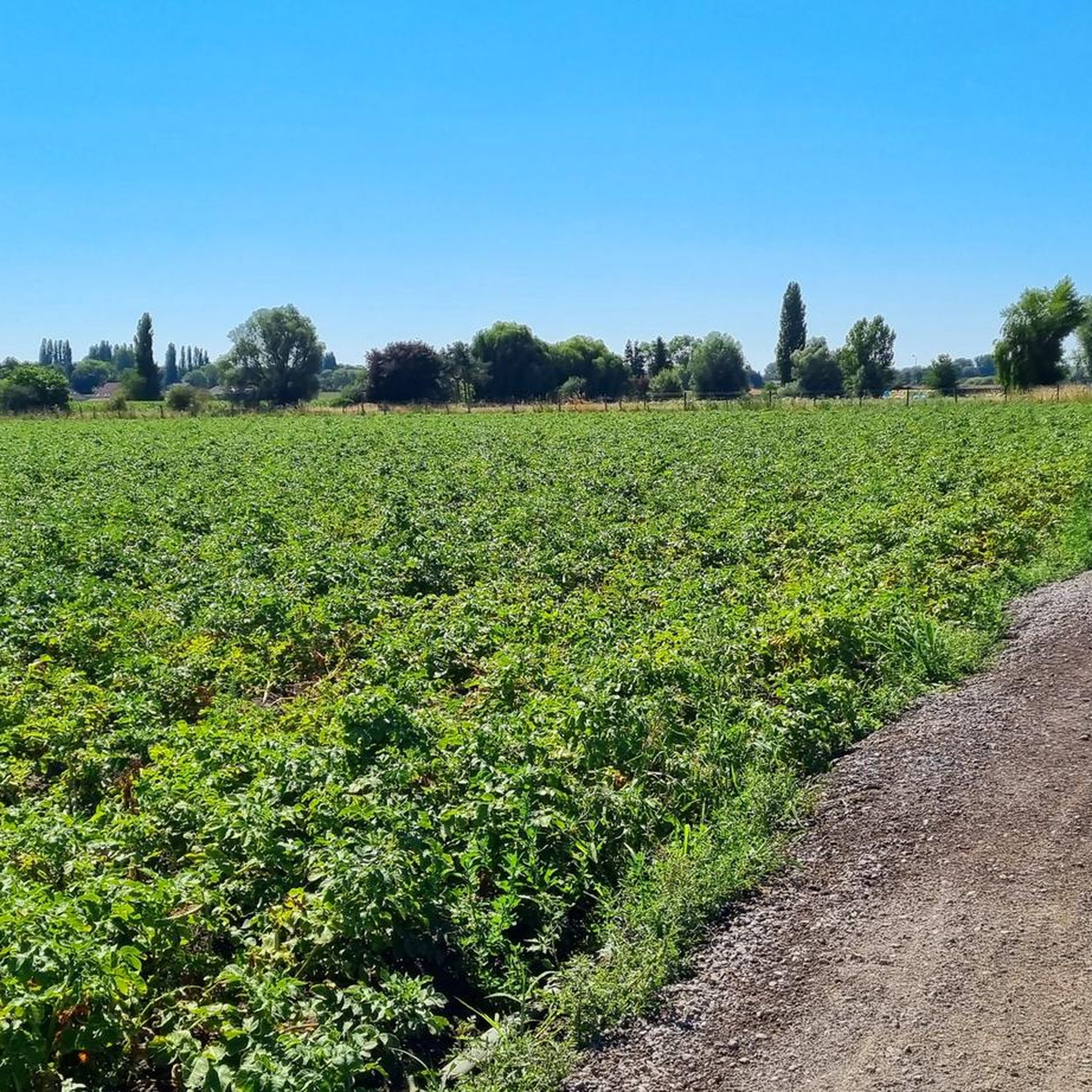
Unfortunately, there are no more green paths in the vicinity. Let's leave this one rough and not pave it, please.
0
0

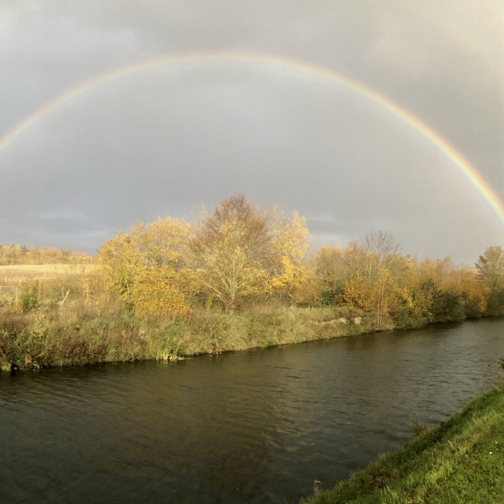
The Canal de Roubaix connects the Deûle River to the Scheldt via the Espierres Canal. Plans for this canal date back to 1821, and it was deemed necessary to supply water and coal to the rapidly developing textile industries in Roubaix and Tourcoing. The first section of the canal begins at the Deûle and includes the canalization of part of the Marque River. This section opened in 1831. The connection from Roubaix to the Belgian-French border was also completed in 1843. The section through Belgium to the Scheldt, the Espierres Canal, was also opened at that time. A watershed existed between the two sections of the canal (between the Lys and the Scheldt), and a tunnel was planned, but this led to difficulties and delays. Therefore, an alternative route was chosen further north, also serving Tourcoing. This more northerly section opened in 1877. A branch of this section of the canal is the Canal de Tourcoing. This was completed in 1893. In 1985, the canal was closed due to dilapidated infrastructure. However, it was restored as an industrial heritage site and reopened to shipping in 2010. The canal is 20 km long and has 12 locks. Source: Wikipedia
3
0
The Mauroy Bridge is one of three movable bridges spanning the canal at Saint-Léger. Each bridge had a bridge keeper's house, where the bridge keeper lived, responsible for opening and closing the bridge each time a ship passed. These houses were often also cafés... or still are, as here. Just beyond the bridge, the old Mauroy farm bordered an imposing castle, the Mauroy Castle, designed by Sanderus in 1644. In 1504, the castle and the Mauroy estate belonged to Arnould de Maulde, a lord of the manor. Source: brochure "Promenade Saint-Léger"
3
0
The Roubaix Canal, or the Espierres Canal, as it's called in French or Belgian, forms part of the link between the Deûle River in France and the Scheldt River in Belgium. In 1843, the two canals were connected between Leers, France, and Leers-Nord, Belgium. Despite damage sustained during the two world wars, the canal was the pinnacle of the region's textile industry for over a hundred years, transporting coal from Belgium to numerous French factories. In Leers-Nord, Belgium, the workers who pulled the coal-laden barges were called "satcheux" (sailors). Next to the lock keeper's house, a stone's throw from France, the crossing point between France and Belgium, a customs guardhouse was built. Customs officers were present to inspect the numerous goods transported by barge. After the decline of the textile industry in the 1970s and 1980s, the canal gradually lost its usefulness and was closed to shipping in 1983. In the early 2000s, the canal was the subject of a cross-border rehabilitation project to allow tourist boats to pass through again. As part of the Interreg Blue Links project, a collaboration between France, Flanders, and Wallonia, it was flooded again. The final works were completed in 2011, and navigation reopened. Since the early 20th century, the Roubaix/Espierres Canal has been a place of conviviality, walking, and fishing for cross-border residents and commuters. Consequently, strong public opposition has arisen to the plan to convert the canal into a motorway. Source: www.caue-nord.com
3
0

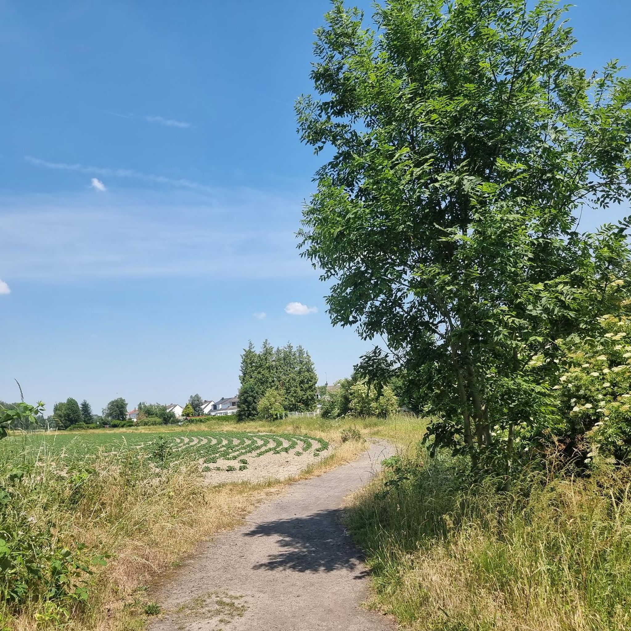
Former railway line. There are numerous marked crossings for crossing the roads. Beware of blind spots which may conceal the approach of a car.
0
0

Vintage drawbridge on the Espierres Canal: https://fr.wikipedia.org/wiki/Canal_de_l%27Espierres
4
0

Frequently Asked Questions
How many gravel bike trails are available around Tourcoing?
There are over 30 gravel bike trails around Tourcoing listed on komoot, offering a diverse range of experiences. These routes cater to various skill levels, from easy canal-side paths to more challenging regional loops.
What kind of terrain can I expect on gravel bike trails near Tourcoing?
The terrain around Tourcoing is quite varied. You'll find a mix of canal-side paths, often with gravel surfaces, especially along the Canal de Roubaix. The broader Hauts-de-France region offers forest tracks, small roads, and paths away from heavy traffic, providing a blend of paved and rougher surfaces suitable for gravel biking.
Are there any easy gravel bike routes suitable for beginners or families?
Yes, Tourcoing offers several easy gravel routes. The canal networks, such as sections of the Canal de Roubaix, provide relatively flat and accessible paths. An example of an easy route is the Mauroy Drawbridge – Canal de Roubaix loop from Gare de Tourcoing, which is about 29 km long and features minimal elevation changes.
Can I find longer gravel biking routes for more advanced riders?
Absolutely. For more experienced riders looking for longer distances, routes like the Losveldvoetweg Gravel Path – Leie River loop from Phalempins offer a substantial ride of over 52 km with varied terrain along the Leie River. Another option is the Leie River – The River Lys at Wervicq loop from Phalempins, which is also over 50 km.
Are there circular gravel bike routes around Tourcoing?
Many of the gravel routes in the Tourcoing area are designed as loops, allowing you to start and end at the same point. For instance, the Bois Leurent Park – Greenway Tourcoing - Halluin loop from Mercure is a moderate 35 km circular path exploring greenways and parks.
What kind of landmarks or natural features can I see along the gravel trails?
You can explore a mix of natural waterways and historical sites. Many routes follow the scenic Leie River and the Canal de Roubaix. For historical interest, you might encounter highlights such as the Citadel Pasture or the Ruins of la Royère castle, which are part of the region's rich heritage.
What do other gravel bikers enjoy most about the trails in Tourcoing?
The gravel biking routes around Tourcoing are highly rated by the komoot community, with an average score of 4.6 stars from over 500 reviews. Riders often praise the diverse terrain, the peaceful canal-side paths, and the accessibility to green spaces and broader regional networks that allow for varied and enjoyable rides.
Are there any specific parks or green spaces accessible by gravel bike in Tourcoing?
Yes, Tourcoing and its surroundings offer several green spaces that can be incorporated into your rides. While some are urban parks, they can serve as pleasant starting points or offer unpaved sections. Notable examples include Parc Clemenceau, Jardin botanique de Tourcoing, and Parc de l'Yser, which provide natural retreats within the urban setting.
Is it possible to access gravel trails near Tourcoing using public transport?
Tourcoing is well-integrated into the Lille Metropole's public transport network. Many routes, especially those starting from urban centers or near train stations like Gare de Tourcoing, are accessible by public transport, making it convenient to reach the starting points of various gravel trails.
Where can I park my car when heading out for a gravel bike ride in Tourcoing?
Parking options vary depending on your chosen starting point. For routes originating from urban areas, public parking lots are generally available. For trails that venture into more rural sections or green spaces, look for designated parking areas near trailheads or local amenities. For example, routes starting from Phalempins or Mercure often have nearby parking facilities.
What is the best time of year for gravel biking in Tourcoing?
The Hauts-de-France region generally offers pleasant conditions for gravel biking from spring through early autumn. During these seasons, the weather is typically mild, and the natural landscapes are at their most vibrant. While winter riding is possible, be prepared for potentially wet and muddy conditions on unpaved sections.
Are there any routes that offer a good mix of nature and urban exploration?
Many routes around Tourcoing blend urban green areas with more natural environments. The city's location allows for rides that transition from local parks and greenways to the more extensive canal networks and forest tracks of the Hauts-de-France region. This provides a unique experience combining the city's heritage with natural beauty.
Most popular attractions around Tourcoing

Get inspired with the komoot mobile app


Explore more
Browse the best Gravel rides in other regions.
