The best gravel rides around Rammersmatt
4.7
(16)
186
riders
34
rides
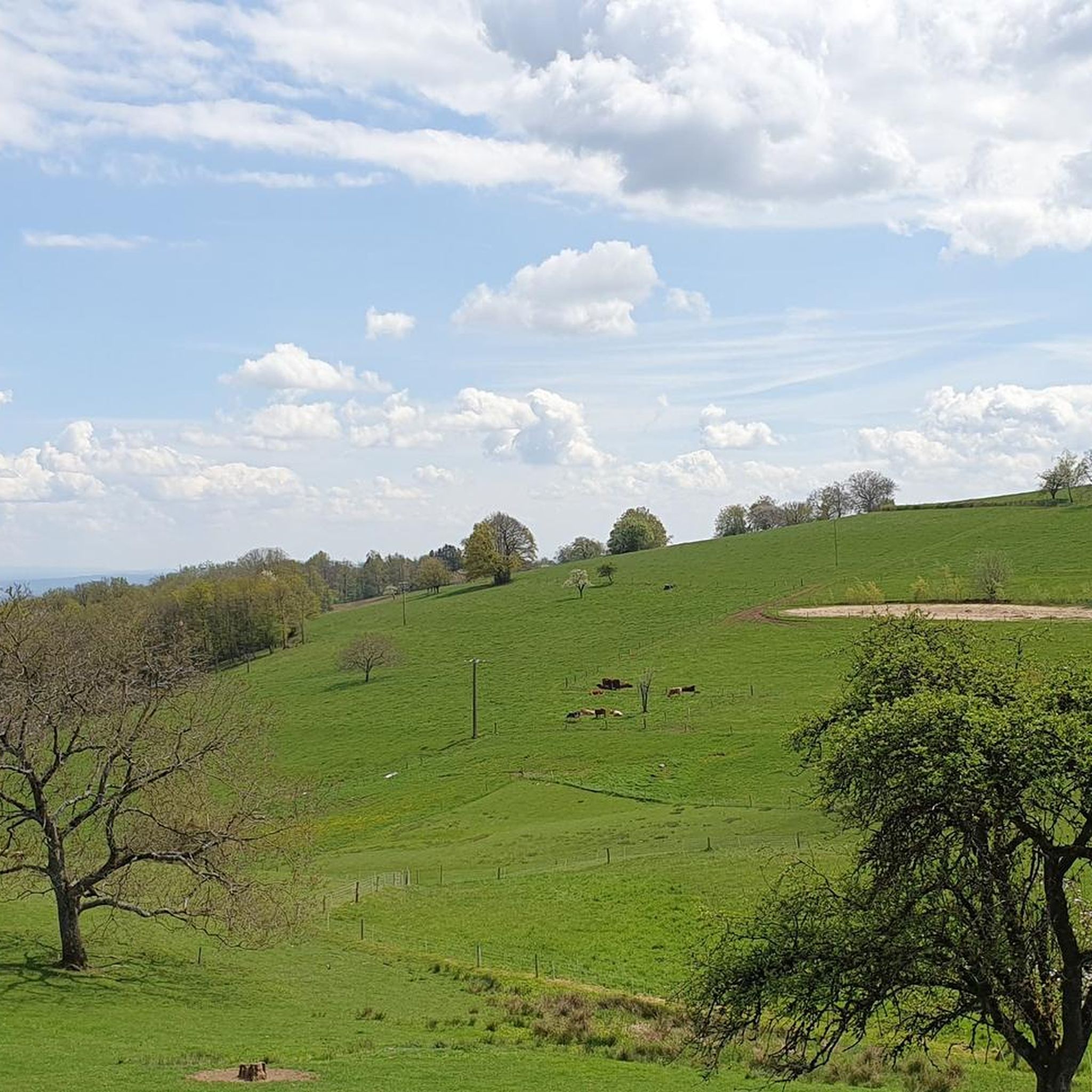
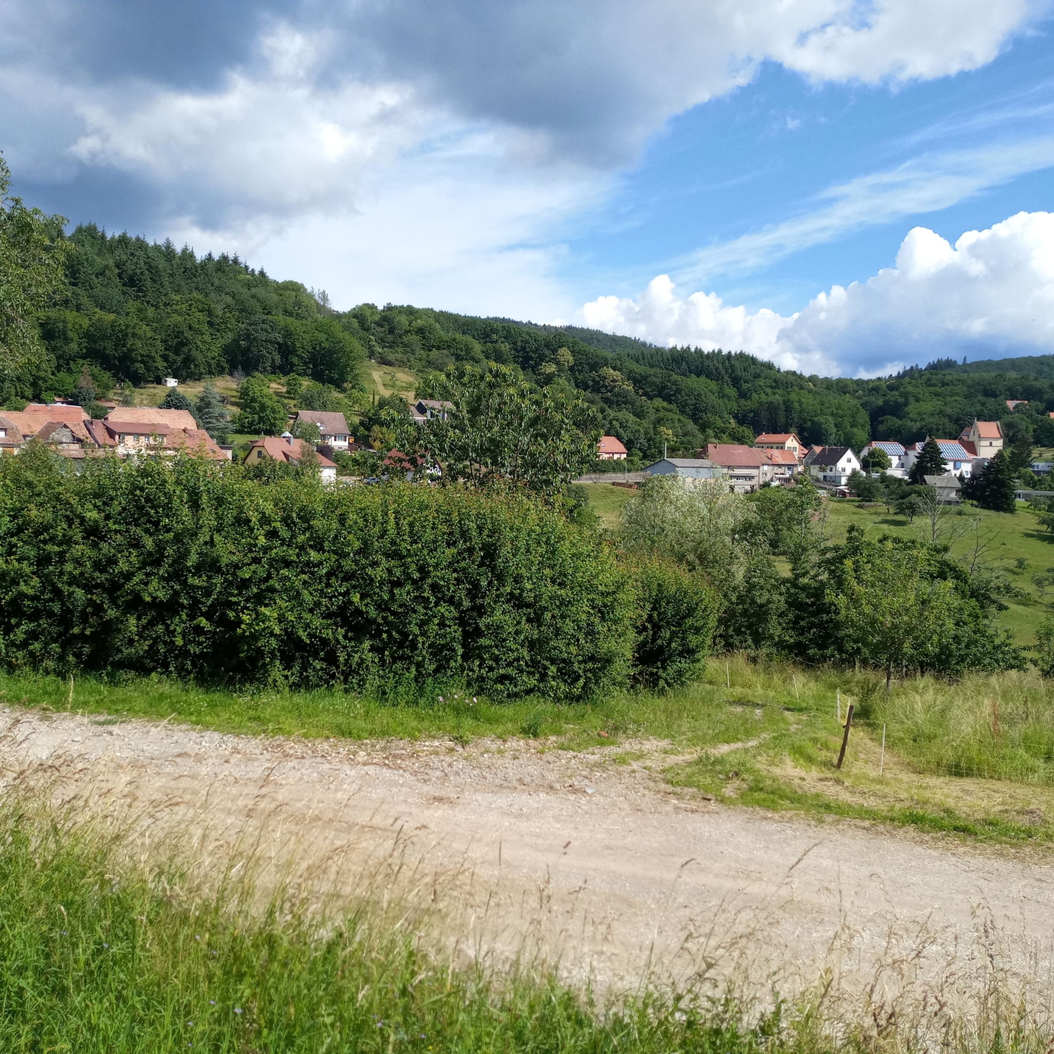
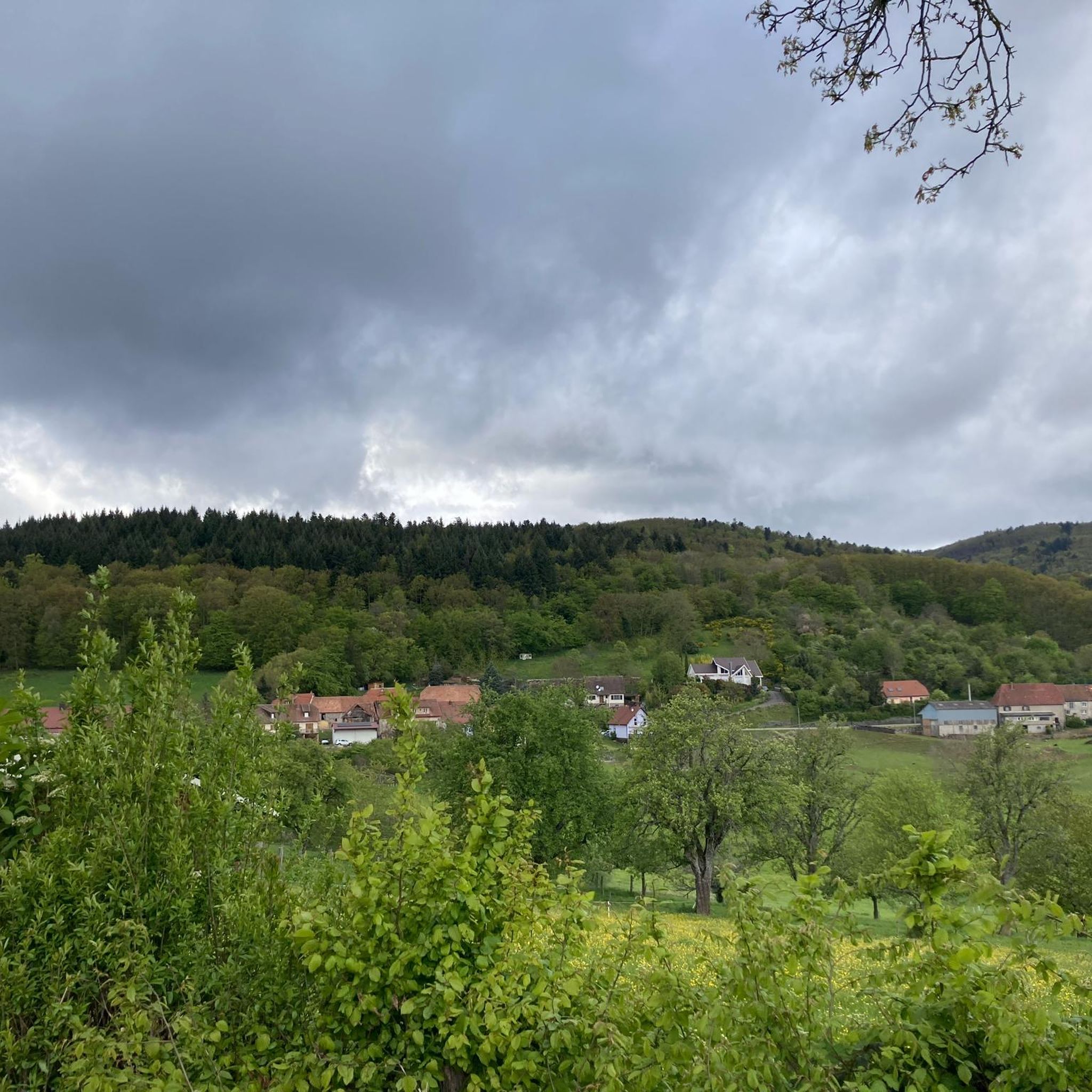
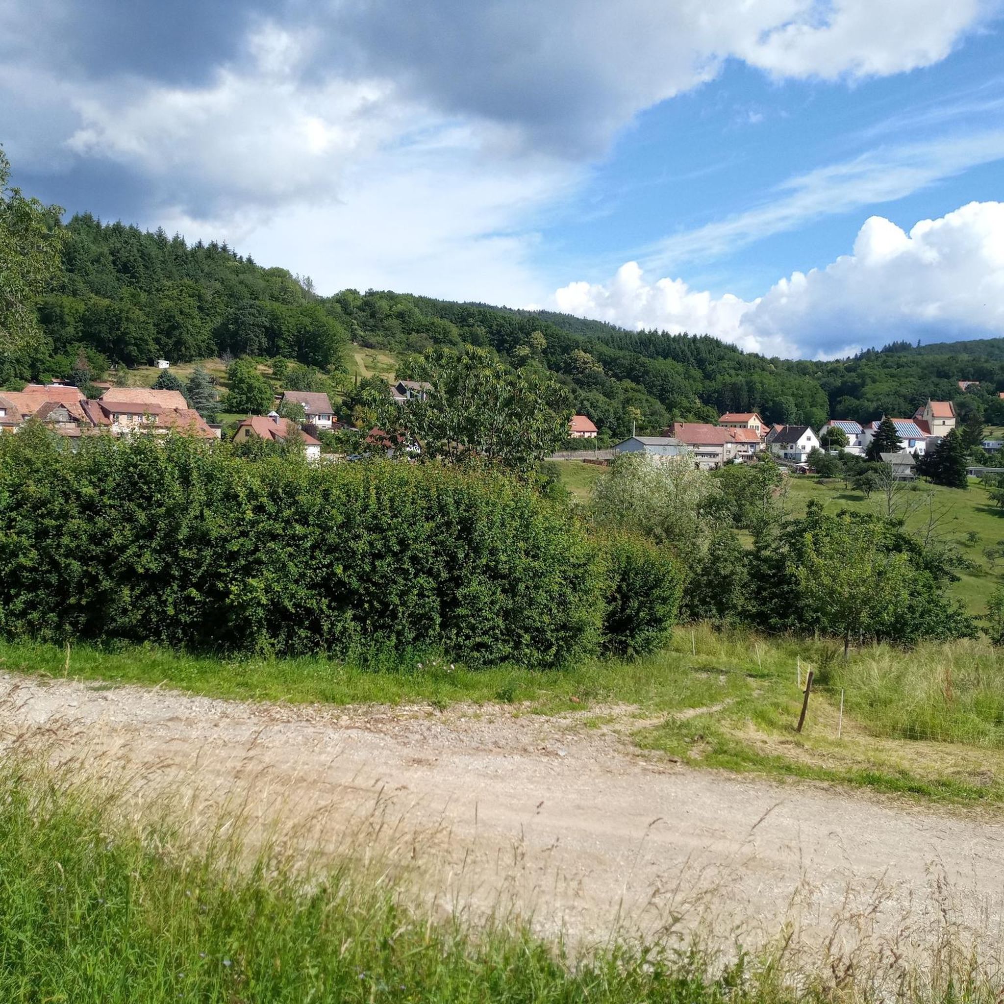
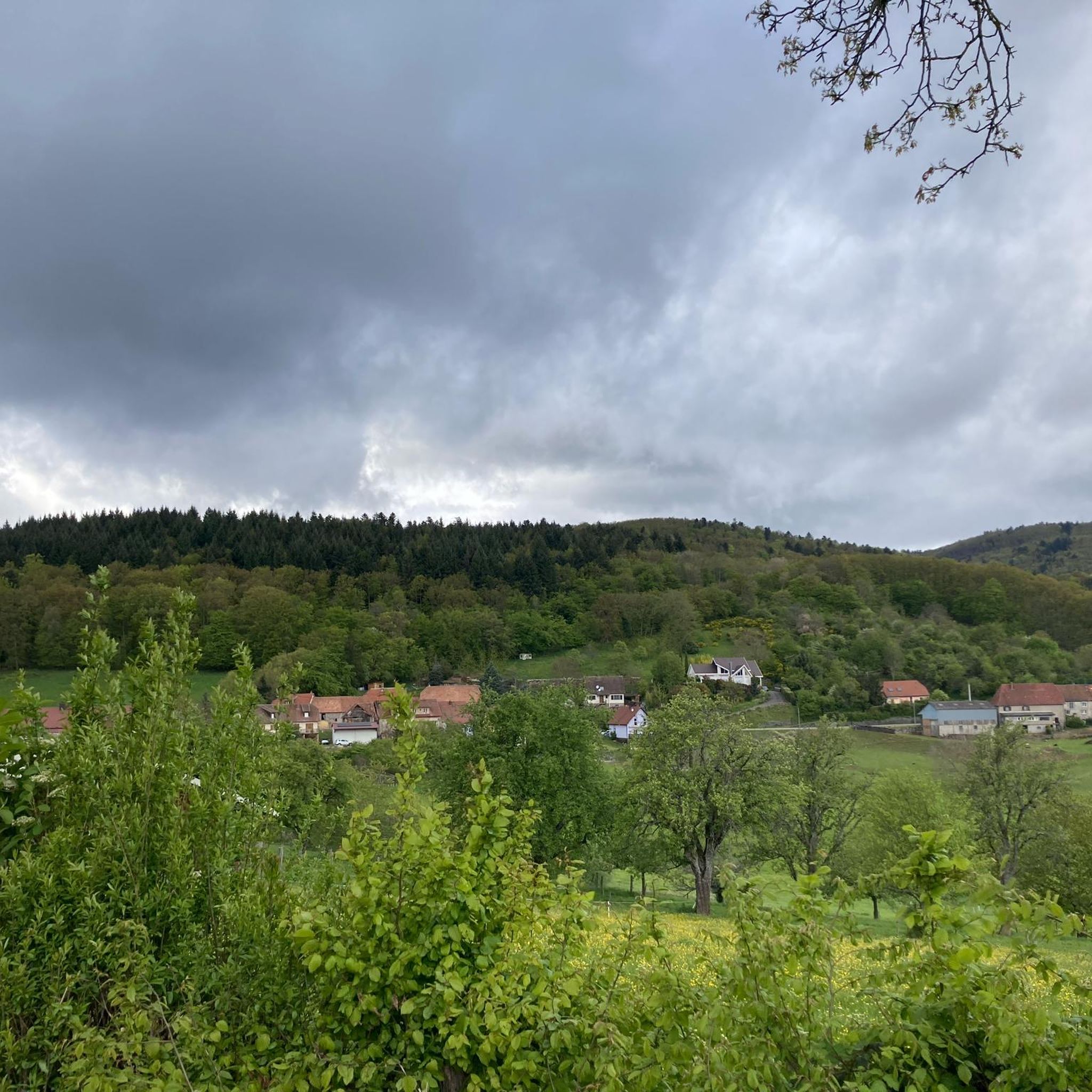
Gravel biking around Rammersmatt offers diverse terrain in the Haut-Rhin department of France's Grand Est region. The area features a mix of cultivated fields, orchards, forests, and vineyards, providing varied cycling experiences. Riders can expect dirt paths and compacted gravel sections, with hilly relief characteristic of the Sundgau region and proximity to the Vosges mountains.
Best gravel bike trails around Rammersmatt
- The most popular gravel bike trail is Grand Ballon – Col Amic Pass loop from Steinbach, a 32.8…
Last updated: July 3, 2026
4.5
(2)
14
riders
25.6km
01:56
660m
660m
Hard gravel ride. Very good fitness required. Mostly paved surfaces. Suitable for all skill levels.
5.0
(2)
16
riders
67.9km
04:42
1,380m
1,380m
Hard gravel ride. Very good fitness required. Mostly paved surfaces. Suitable for all skill levels.

Sign up for free
4.0
(1)
6
riders
27.0km
01:53
330m
330m
Moderate gravel ride. Good fitness required. Mostly paved surfaces. Suitable for all skill levels.
5.0
(1)
18
riders
74.2km
05:09
1,300m
1,300m
Hard gravel ride. Very good fitness required. Mostly paved surfaces. Suitable for all skill levels.
13
riders
97.2km
07:25
2,560m
2,560m
Hard gravel ride. Very good fitness required. Mostly paved surfaces. Suitable for all skill levels.
Get access to more routes and recommendations from other explorers.
Sign up for free
Already have an account?
Our route recommendations are based on thousands of hikes, rides, and runs completed by other people on komoot.
Start today with a free account
Your next adventure awaits.
Login or Signup

Tips from the Community


The chapel was built in 1930 on the site of a former wayside cross. It is dedicated to Saint Morand, a Cluny monk who became an apostle of the Sundgau region (11th century), patron saint of the parish of Steinbach and the village's winegrowers. It is also commonly known as Lohkapala.
0
0

The Cernay National Cemetery is a memorial dedicated to the soldiers who fell during the battles of Vieil-Armand and Steinbach in the summer of 1914. Created in 1920, it was designed to house the bodies exhumed from temporary military cemeteries in the region and was reorganized after World War II to include soldiers who died between 1940 and 1945. This cemetery contains 2,238 French bodies, as well as Czech, Russian, British, and Serbian combatants. Two ossuaries contain the remains of 938 combatants.
0
0

Great ascent route, away from the main roads, lots of forest = shade, moderate, steady climb between 6-9.5%, asphalt, few but great views
0
0


At the pass, the paved Chemin Béry forest road leads to the Col de la Vierge after 2 km and Lac des Corbeaux after 4.5 km. Driving down from the pass towards La Bresse, after 1 km you will reach a fork in the road. Turn right onto the quiet D34 A departmental road, the Route des Américains, which climbs to the Vosges ridge road, the Route des Crêtes. There it joins the Col de Rothenbach with its striking summit. The Route des Américains is 5 km long and has an elevation gain of almost 280 meters.
0
0

Great climb - a must for every road cyclist
0
0
Frequently Asked Questions
How many gravel bike trails are available around Rammersmatt?
The Rammersmatt area offers a wide selection of gravel bike trails, with over 45 routes available. These include 4 easy, 10 moderate, and 31 difficult options, catering to various skill levels.
What kind of terrain can I expect on gravel bike trails near Rammersmatt?
You can expect a diverse mix of terrain, including cultivated fields, charming orchards, forests, and vineyards. The trails often consist of dirt paths and compacted gravel, characteristic of the Sundgau region's hilly relief and the foothills of the Vosges mountains.
Are there any family-friendly gravel biking options in the Rammersmatt area?
Yes, there are 4 easy gravel bike routes around Rammersmatt that could be suitable for families. These routes typically feature less elevation gain and smoother surfaces, allowing for a more relaxed experience. For example, the region's botanical trails, like the Botanical Trail in Rammersmatt, offer scenic rides through fields and orchards that can be enjoyed by all.
Can I bring my dog on gravel bike trails around Rammersmatt?
Many of the natural trails and forest paths in the Rammersmatt area are suitable for cycling with dogs, provided they are well-behaved and kept under control, especially when passing through cultivated areas or near farm animals. Always check local regulations for specific trails, particularly within protected natural areas like the Ballons des Vosges Natural Park.
Where can I find parking for gravel biking trails in Rammersmatt?
Parking is generally available in and around Rammersmatt, particularly near trailheads or village centers. For routes starting from specific towns like Steinbach or Cernay, you'll find designated parking areas. It's advisable to check local signage upon arrival for the most convenient spots.
Is it possible to reach gravel bike trailheads near Rammersmatt using public transport?
While Rammersmatt itself is a smaller village, surrounding towns like Cernay, which serve as starting points for several routes, often have better public transport connections. From these larger hubs, you might be able to cycle to nearby trailheads. However, direct public transport to every trailhead might be limited, so planning ahead is recommended.
What are some notable viewpoints or attractions I can visit while gravel biking?
The region offers several scenic viewpoints and historical sites. You could incorporate a visit to the Viewpoint at the summit of Vieil Armand or the Hartmannswillerkopf National Monument, both offering panoramic views of the Alsace plain. The Col Amic also provides a gentle ascent through shaded forests with scenic outlooks.
Are there any circular gravel bike routes available?
Yes, many of the gravel bike routes around Rammersmatt are designed as loops, allowing you to start and finish at the same point. Examples include the challenging Grand Ballon – Col Amic Pass loop from Steinbach or the Molkenrain - Cernay – Chapelle de la Loh loop from Cernay, which offers varied scenery.
What is the best time of year to go gravel biking in Rammersmatt?
The spring and autumn months generally offer the most pleasant conditions for gravel biking in Rammersmatt, with mild temperatures and beautiful scenery as the fields and vineyards change colors. Summer can also be enjoyable, especially for rides in the cooler forest sections or higher elevations. Winter riding is possible but may require appropriate gear for colder temperatures and potential snow or ice, particularly in the Vosges mountains.
Are there options for both beginner and advanced gravel bikers?
Absolutely. Rammersmatt caters to a range of abilities. There are 4 easy routes perfect for beginners or those seeking a relaxed ride. For more experienced riders, there are 10 moderate and 31 difficult routes, including challenging ascents in the Vosges mountains like the Grand Ballon – Hohneck loop from Cernay, which features significant elevation gain.
Where can cyclists find cafes or places to refuel near the trails?
While Rammersmatt is small, you'll find cafes and small eateries in nearby towns and villages like Cernay or Thann. Many routes pass through or near these communities, providing opportunities to refuel and rest. It's always a good idea to carry sufficient water and snacks, especially on longer or more remote trails.
What do other cyclists say about gravel biking in Rammersmatt?
The gravel biking routes around Rammersmatt are highly rated by the komoot community, with an average score of 4.7 stars from over 20 reviews. Cyclists often praise the diverse terrain, the beautiful panoramas of the Alsace plain, and the engaging rides through vineyards, forests, and fields.
Can you recommend a moderate gravel bike route?
For a moderate gravel biking experience, consider the Michelbach Dam – Michelbach Lake loop from Aspach-le-Bas. This route covers about 27.5 km with a manageable elevation gain, offering a pleasant ride around the Michelbach Lake area.
Most popular routes around Rammersmatt
Most popular attractions around Rammersmatt

Get inspired with the komoot mobile app


Explore more
Browse the best Gravel rides in other regions.
