The best gravel rides around Chapinería
4.0
(1)
50
riders
14
rides
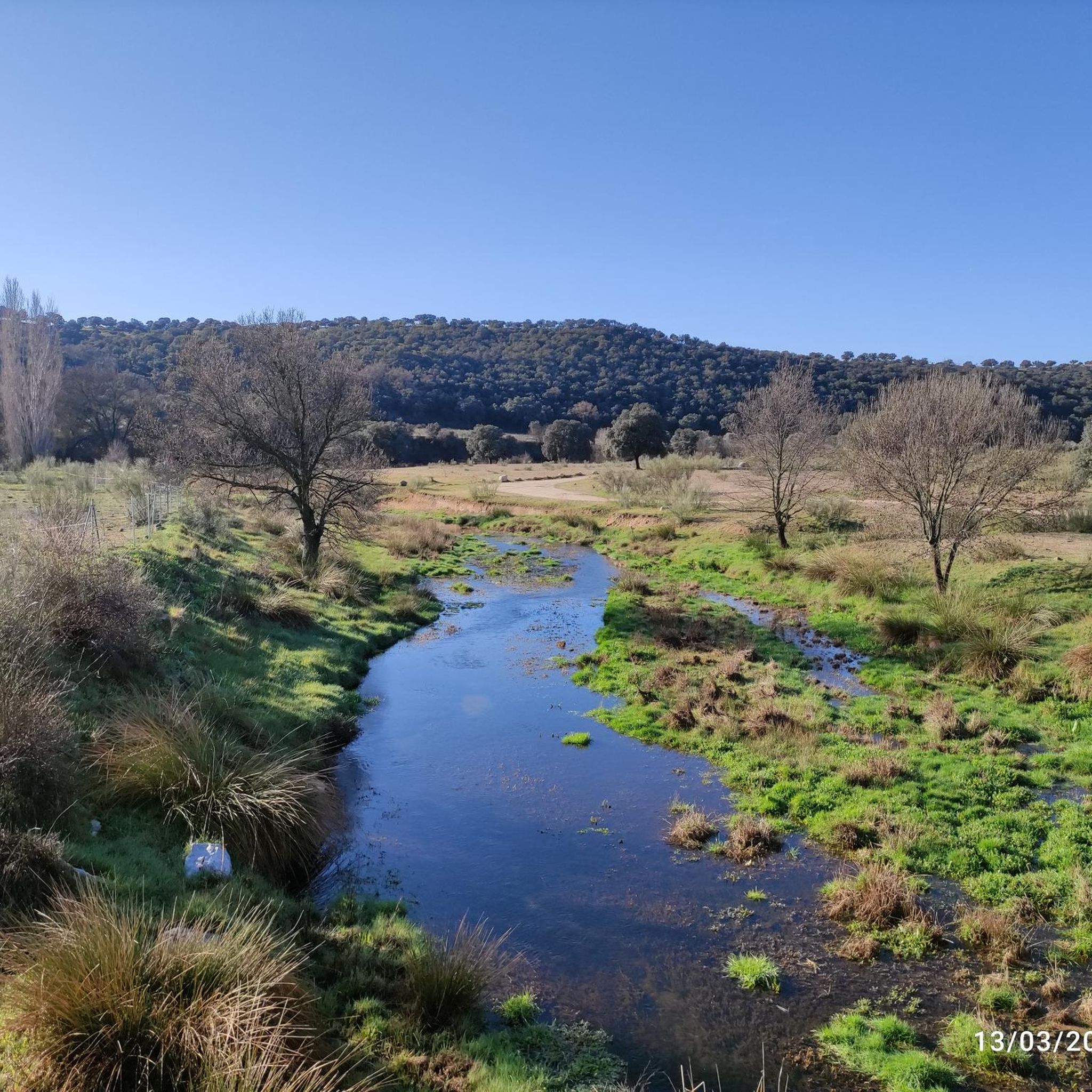
Gravel biking around Chapinería features routes that traverse varied terrain, including river valleys, open fields, and areas with moderate elevation changes. The landscape is characterized by dirt paths and tracks, often following natural features like the Alberche Greenway and the Perales River. This region offers a mix of open country and more secluded sections suitable for gravel exploration.
Best gravel bike trails around Chapinería
- The most popular gravel bike trail is Alberche Greenway – Picadas Reservoir loop from Navas del…
Last updated: October 11, 2026
8
riders
45.7km
03:53
800m
800m
Hard gravel ride. Very good fitness required. Mostly paved surfaces. Suitable for all skill levels.
7
riders
Hard gravel ride. Very good fitness required. Mostly paved surfaces. Suitable for all skill levels.

6
riders
57.7km
04:28
920m
930m
Hard gravel ride. Very good fitness required. Mostly paved surfaces. Suitable for all skill levels.
6
riders
Moderate gravel ride. Good fitness required. Mostly paved surfaces. Suitable for all skill levels.
4
riders
Moderate gravel ride. Good fitness required. Mostly paved surfaces. Suitable for all skill levels.
Get access to more routes and recommendations from other explorers.
Already have an account?
Our route recommendations are based on thousands of hikes, rides, and runs completed by other people on komoot.
Start today with a free account
Your next adventure awaits.
Other adventures around Chapinería

Tips from the Community

Beautiful and easy path along the Alberche river.
0
0

La Presa de Picadas is a hydraulic infrastructure located on the Alberche River, which gives rise to the reservoir of the same name. Surrounded by a natural environment of great beauty, it stands out for its rugged landscapes, pine forests, and calm waters, making it an ideal point of interest to enjoy nature in the Sierra Oeste of Madrid.
0
0
The Picadas Dam is a hydraulic structure located on the Alberche River, which forms the reservoir of the same name. Surrounded by a natural environment of great beauty, it stands out for its rugged landscapes, pine forests, and calm waters, making it an ideal point of interest to enjoy nature in the Sierra Oeste of Madrid.
0
0
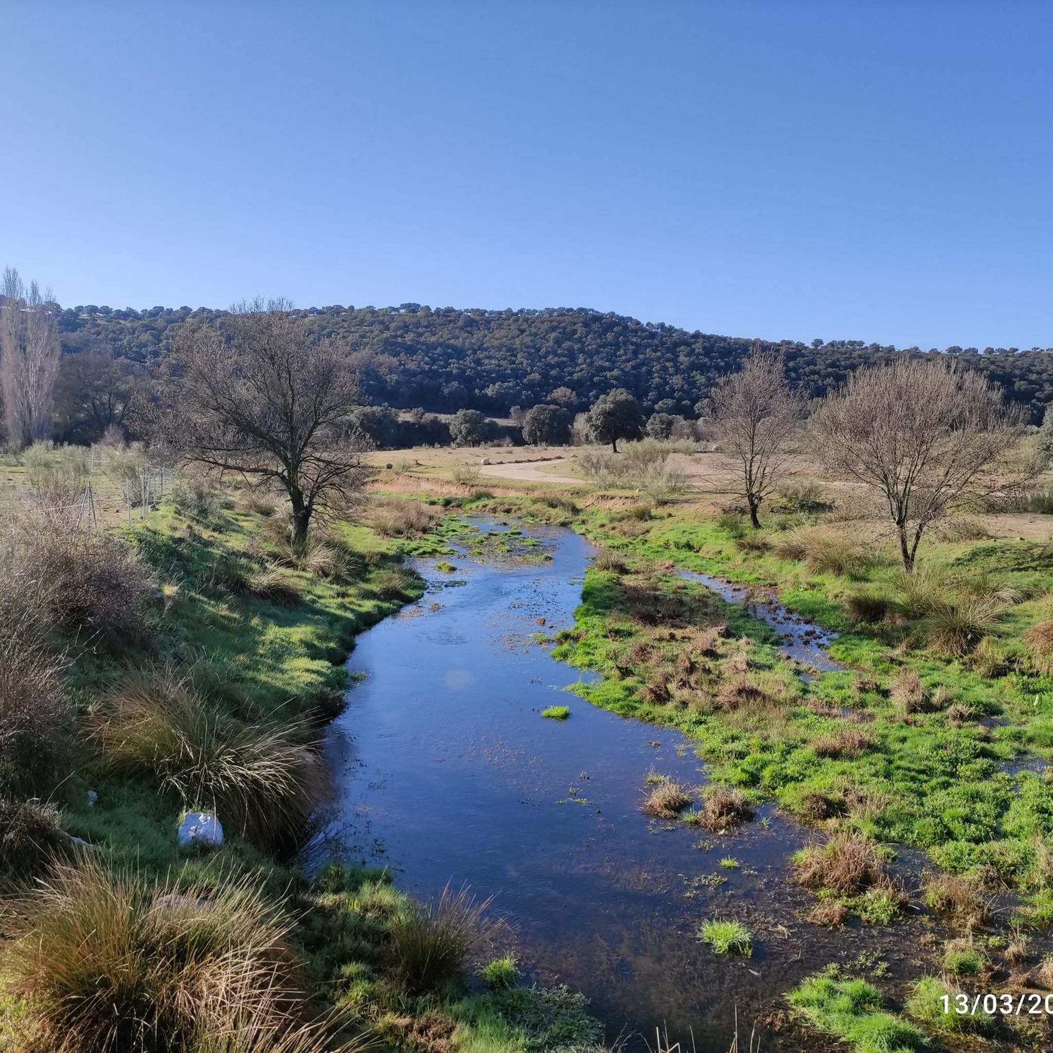
The bridge over the Alberche River is a key crossing point that allows you to cross this important body of water in the Sierra Oeste de Madrid area. From it, you get pleasant views of the river and its riparian vegetation, making it a notable spot on the route.
0
0
The Embalse de Picadas is a natural enclave located on the course of the Alberche river, surrounded by pine forests and steep slopes that create a landscape of great beauty. Its calm waters and uncrowded environment make it an ideal place to enjoy nature in the Sierra Oeste of Madrid.
0
0

Impressive antenna installation. Beautiful road with little traffic.
0
0

affordable but calm
0
0
You can stop in the shade to rest.
0
0
Frequently Asked Questions
How many gravel bike trails are available around Chapinería?
Chapinería offers a selection of 10 gravel bike routes, catering to various skill levels. You'll find 6 moderate trails and 4 more challenging options to explore the region's diverse terrain.
Are there any easy gravel bike trails suitable for beginners in Chapinería?
While Chapinería features primarily moderate to difficult gravel routes, the 6 moderate trails are a good starting point for those with some experience. For example, the Geodetic Point – Bridge Over the Perales River loop from Colmenar del Arroyo is a moderate 30.2 km ride with manageable elevation.
What are some challenging gravel bike routes for experienced riders in Chapinería?
For experienced gravel bikers seeking a challenge, Chapinería offers several difficult routes. Consider the Alberche Greenway – Picadas Reservoir loop from Navas del Rey, which covers 47 km with over 800 meters of elevation gain, or the even longer Bridge Over the Perales River – Villamantilla Town Center loop from Urb. Calalberche - Rio Manzanares at 57.8 km.
Are there any circular gravel bike routes in Chapinería?
Yes, all the gravel bike routes listed for Chapinería are designed as circular loops. This allows you to start and finish at the same point, making logistics easier. Examples include the Dirt Path Near Bomberos – Dirt Road Through Fields loop from Villamantilla and the Alberche Greenway – Picadas Reservoir loop from Colmenar del Arroyo.
What kind of terrain can I expect on gravel bike trails around Chapinería?
The gravel bike trails in Chapinería traverse varied terrain, including river valleys, open fields, and dirt roads. You'll encounter a mix of dirt paths and tracks, often following natural features like the Alberche Greenway and the Perales River, offering both open country and more secluded sections.
What are some interesting sights or landmarks along the gravel bike routes in Chapinería?
Many routes in Chapinería pass by notable points of interest. You can cycle near the Picadas Reservoir, explore sections of the Alberche Greenway, or even spot the Madrid Deep Space Communications Complex. The Geodetic Point – Bridge Over the Perales River loop from Colmenar del Arroyo specifically highlights a geodetic point.
Are there any reservoirs or lakes accessible by gravel bike in Chapinería?
Yes, several gravel routes in Chapinería lead to or pass by significant water bodies. The Alberche Greenway – Picadas Reservoir loop from Navas del Rey, for instance, takes you along the Picadas Reservoir. Other nearby lakes include the San Juan Reservoir Marina and Cerro Alarcón Reservoir.
What do other gravel bikers say about the routes in Chapinería?
The gravel biking routes in Chapinería are highly regarded by the komoot community, holding an average score of 4.0 stars. Over 30 gravel bikers have already explored this region using komoot, appreciating the varied terrain and scenic river valleys.
What is the longest gravel bike route available in Chapinería?
The longest gravel bike route in the area is the Bridge Over the Perales River – Villamantilla Town Center loop from Urb. Calalberche - Rio Manzanares, which spans approximately 57.8 kilometers and features over 630 meters of elevation gain, making it a challenging full-day ride.
What is the shortest gravel bike route in Chapinería?
For a shorter gravel ride, the Geodetic Point – Bridge Over the Perales River loop from Colmenar del Arroyo is a good option. It's a moderate 30.2-kilometer loop that can typically be completed in under 3 hours, offering a taste of the region's river valleys.
Are there any historical or cultural points of interest near the gravel trails?
Yes, the region around Chapinería has some historical elements. You might encounter the Navahonda Hermitage or the El Pasadero Medieval Bridge and Stone Cross in Navalagamella, offering glimpses into the local heritage while you ride.
Most popular attractions around Chapinería

Get inspired with the komoot mobile app


Explore more
Browse the best Gravel rides in other regions.
