The best gravel rides around Tornabous
4.5
(12)
428
riders
86
rides
Gravel biking around Tornabous is characterized by its flat to rolling agricultural landscapes and an extensive network of unpaved roads. The region, part of the Terres de Lleida province, offers diverse terrain, including expansive fields, fruit orchards, and significant wetlands. Riders can expect routes that traverse through these varied environments, providing a blend of tranquil scenery and engaging gravel paths.
Best gravel bike trails around Tornabous
- The most popular gravel bike trail is Abandoned Village of Claret – Start of the Canal d'Urgell loop from Montfalcó d'Agramunt, a 62.6 miles (100.8 km) trail that takes about 7 hours 30 minutes to complete. This difficult route explores the historic Canal d'Urgell area.
- Another top favourite among local gravel bikers is Church of Mont-Roig – Pilar de Almenara Tower loop from Agramunt, a difficult 46.8 miles (75.3 km) path. This route offers views of the Urgell plain and passes historical structures like the Pilar de Almenara Tower.
- Local gravel bikers also love the Penelles Street Art Murals – Penelles (village of murals) loop from Penelles, a 38.9 miles (62.7 km) trail leading through agricultural landscapes and cultural highlights, often completed in about 5 hours 36 minutes.
- Gravel biking around Tornabous is defined by extensive unpaved agricultural roads, expansive fields, and wetlands like Ivars i Vila-sana Pond. The network offers options for easy, moderate, and difficult routes.
- The routes in Tornabous are highly rated by the komoot community with an average score of 4.2 stars from more than 10 reviews. More than 300 gravel bikers have used komoot to explore Tornabous's varied terrain.
Last updated: August 31, 2026
5.0
(5)
318
riders
Hard gravel ride. Very good fitness required. Mostly paved surfaces. Suitable for all skill levels.
14
riders
74.2km
05:36
700m
700m
Hard gravel ride. Very good fitness required. Mostly paved surfaces. Suitable for all skill levels.

Sign up for free
10
riders
Hard gravel ride. Very good fitness required. Mostly paved surfaces. Suitable for all skill levels.
13
riders
74.8km
05:48
880m
880m
Hard gravel ride. Very good fitness required. Mostly paved surfaces. Suitable for all skill levels.
14
riders
87.0km
06:31
750m
750m
Hard gravel ride. Very good fitness required. Mostly paved surfaces. Suitable for all skill levels.
Get access to more routes and recommendations from other explorers.
Sign up for free
Already have an account?
Our route recommendations are based on thousands of hikes, rides, and runs completed by other people on komoot.
Start today with a free account
Your next adventure awaits.
Login or Signup
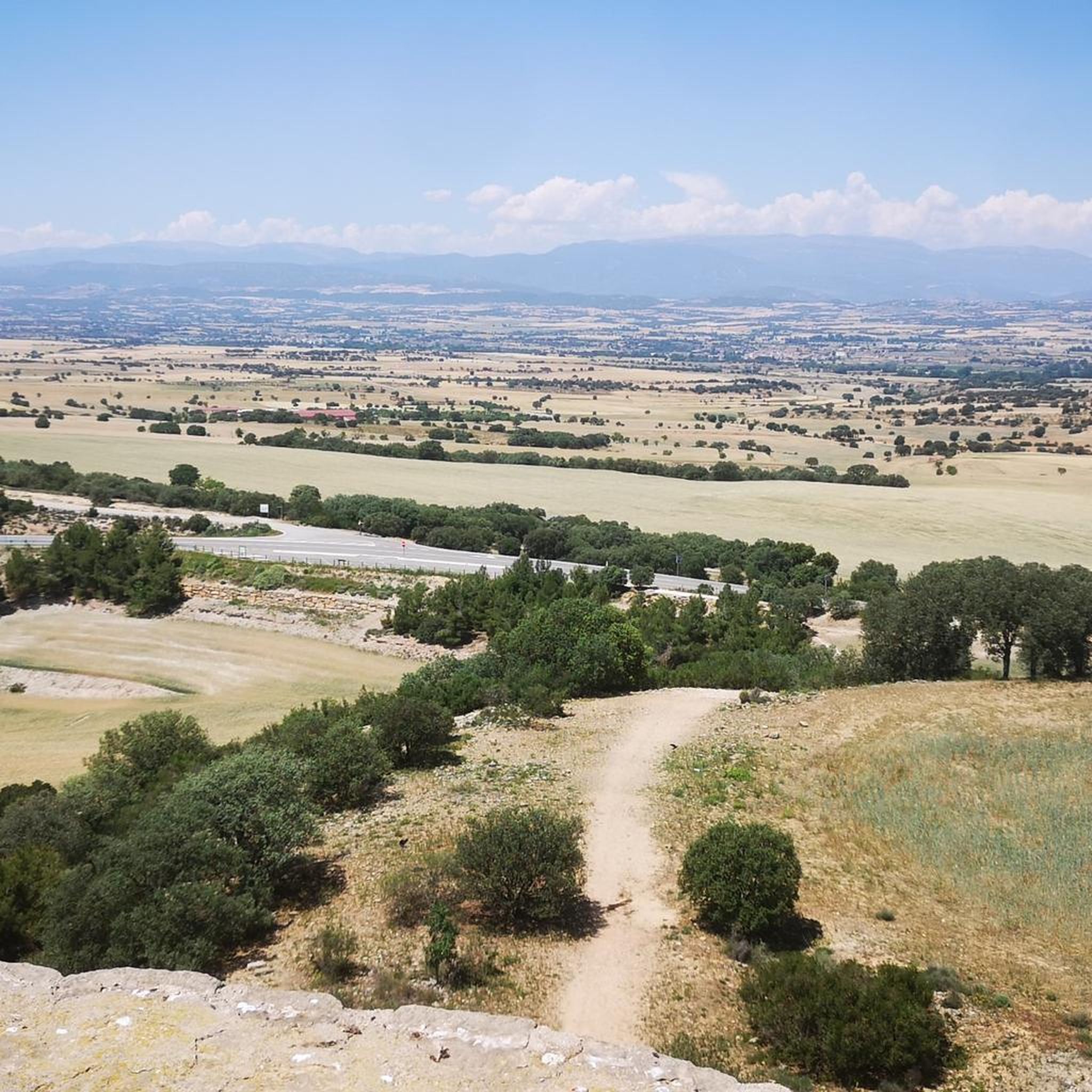
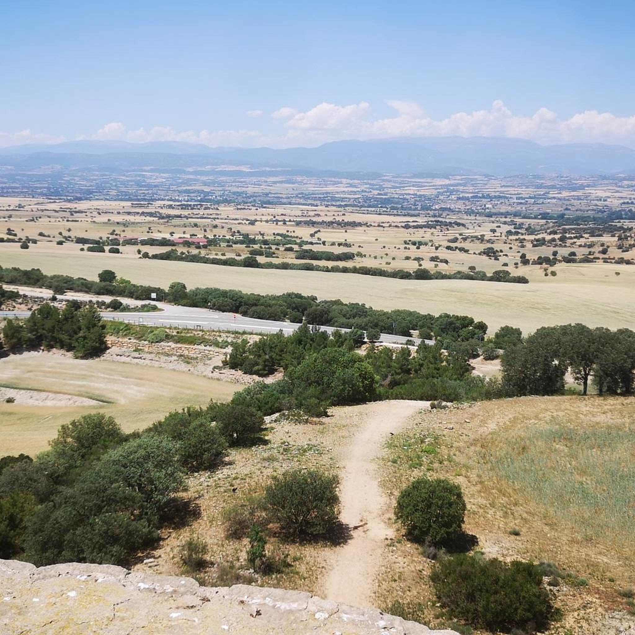
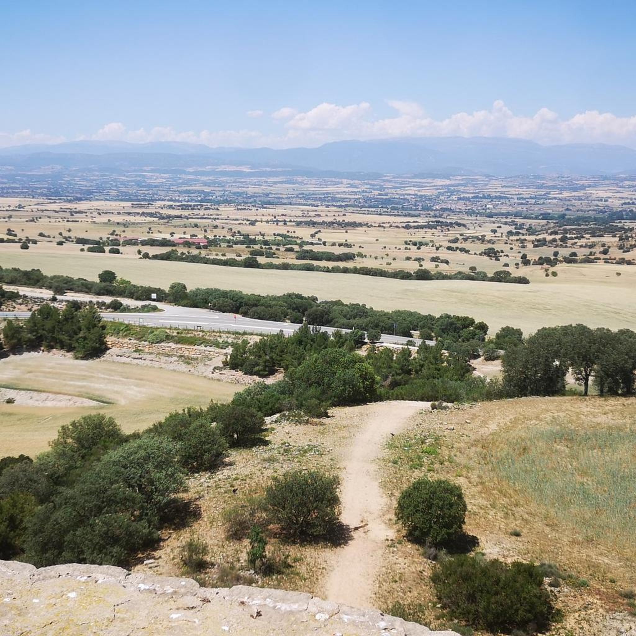

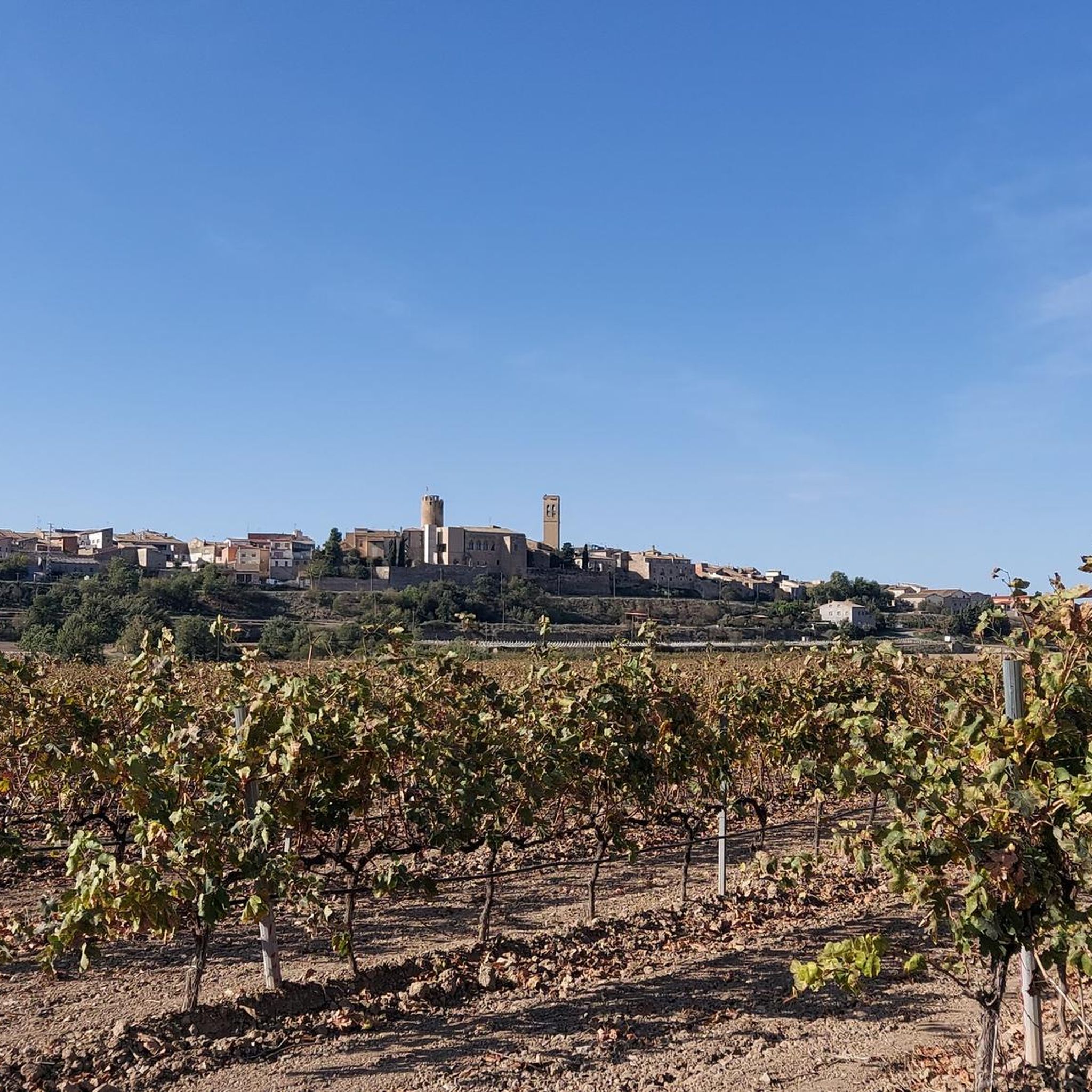
Tips from the Community

Small Romanesque church in the town of Santa Maria de Montmagrasell.
0
0
Sports area for kayaking and rafting on the Segre River, near the Roca del Call Park, in the town of Ponts. It is also the starting point of the Ranxo Gravel walk.
0
0
Small wooden bridge that allows you to cross the Llobregós at the level of its confluence with the Segre River.
0
0
It begins on the Segre River downstream from the town of Ponts and after traveling about 144 km it ends its route in the town of Montoliu de Lleida.
0
0
Small town located on top of a hill, abandoned, and part of the La Noguera region.
0
0

Agramunt is best known for its traditional nougat and chocolate.
1
0

The Ruins of San Vicente de Almenara are located in the municipality of Agramunt. This historic site is known for its remains of an ancient Romanesque church dating back to the 11th century. The ruins are located in a picturesque natural setting, ideal for hiking and mountain biking enthusiasts.
6
0
The Pilar de Almenara is a medieval defensive tower located at the top of the Sierra de Almenara, near Agramunt, in the Urgell region of Catalonia. This tower, dating from the 11th and 12th centuries, is 14 meters high and offers stunning panoramic views of the Urgell plain. The tower was used for surveillance and defense against Saracen raids and is similar to other Christian defensive towers in the region. From the top, on clear days, you can see as far as the Seu Vella de Lleida.
9
0
Frequently Asked Questions
How many gravel bike trails are available around Tornabous?
There are over 70 gravel bike routes around Tornabous, offering a wide range of options for different skill levels. You'll find 5 easy routes, 37 moderate routes, and 28 difficult routes to explore.
What kind of terrain can I expect on gravel bike trails in Tornabous?
Gravel biking around Tornabous is characterized by its flat to rolling agricultural landscapes and an extensive network of unpaved roads. You'll pedal through expansive fields that change hues with the seasons, fruit orchards, and significant wetlands like the Ivars i Vila-sana Pond. The routes offer a blend of tranquil scenery and engaging gravel paths.
Are there any easy gravel bike routes suitable for beginners or families?
Yes, Tornabous offers 5 easy gravel routes perfect for beginners or families looking for a relaxed ride. These routes typically follow the flat agricultural paths and the historic Canal d'Urgell, providing a gentle introduction to gravel biking in the region.
What are some notable landmarks or points of interest I can see along the gravel trails?
Many gravel routes in the area pass by historical and natural attractions. You can incorporate sights like the 11th-12th century Pilar de Almenara Tower, offering panoramic views, or the Penelles Street Art Murals. The significant natural wetland, Ivars and Vila-sana Pond, is also a beautiful and tranquil stop on many rides.
Are there any circular gravel bike routes around Tornabous?
Yes, many of the gravel routes around Tornabous are designed as loops, allowing you to start and finish in the same location. For example, the Castillo de Montcortés – Castell de l'Aranyó loop from Tàrrega is a challenging 60.3 km circular route that explores historical sites.
What do other gravel bikers say about the trails in Tornabous?
The gravel trails in Tornabous are highly rated by the komoot community, with an average score of 4.2 stars from over 10 reviews. Riders often praise the extensive network of unpaved agricultural roads, the diverse landscapes, and the opportunity to discover historical and natural features like the Ivars i Vila-sana Pond.
Can I access the gravel trails using public transport?
While Tornabous itself is a smaller town, the broader Terres de Lleida province has some public transport options. However, for direct access to many trailheads, especially those in more rural areas, personal transport is generally recommended for convenience. It's best to check local bus schedules if you plan to rely on public transport.
Are there any long-distance gravel biking options near Tornabous?
Absolutely. The region is known for its extensive network of unpaved roads, making it ideal for longer rides. For instance, the Third Canal of Urgell Path – Ivars and Vila-sana Pond loop from Tàrrega is a challenging 104.5 km route that allows for a full day of exploration through varied landscapes.
What is the best time of year for gravel biking in Tornabous?
The region offers good gravel biking conditions for much of the year. Spring (March-April) is particularly picturesque with fruit orchards in blossom, while autumn provides pleasant temperatures and changing colors in the agricultural fields. Summers can be hot, so early morning or late afternoon rides are advisable. Winters are generally mild, making it possible to ride, though some paths might be muddier after rain.
Are there any routes that follow the historic Canal d'Urgell?
Yes, the historic Canal d'Urgell offers a fantastic, traffic-free, and scenic route ideal for gravel biking. The Abandoned Village of Claret – Start of the Canal d'Urgell loop from Montfalcó d'Agramunt is a challenging 100.8 km route that extensively explores this historic waterway and its surroundings.
Where can I find parking for gravel bike trails in Tornabous?
Parking is generally available in and around the towns and villages that serve as starting points for many routes, such as Tornabous itself, Agramunt, or Tàrrega. Look for public parking areas in these locations, which often provide convenient access to the agricultural road network.
Most popular attractions around Tornabous

Get inspired with the komoot mobile app


Explore more
Browse the best Gravel rides in other regions.
