The best gravel rides around Álora
4.4
(10)
123
riders
22
rides
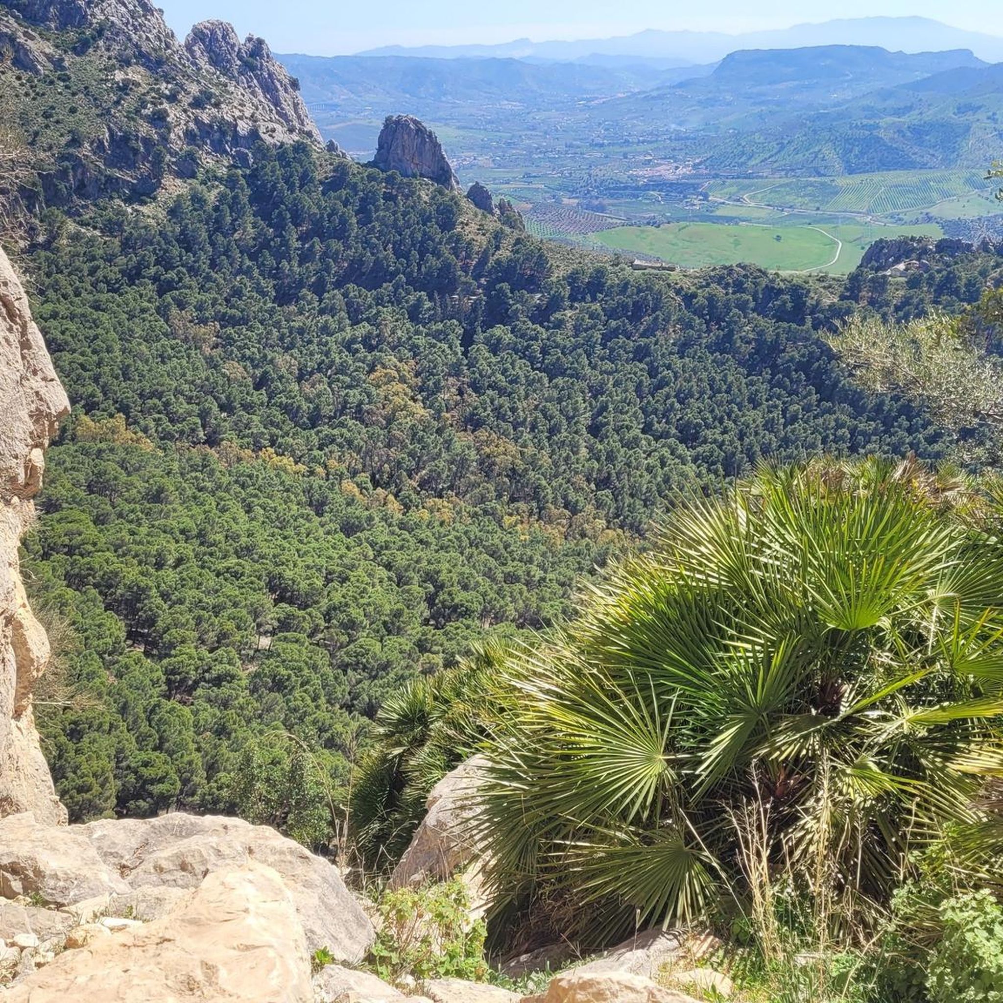
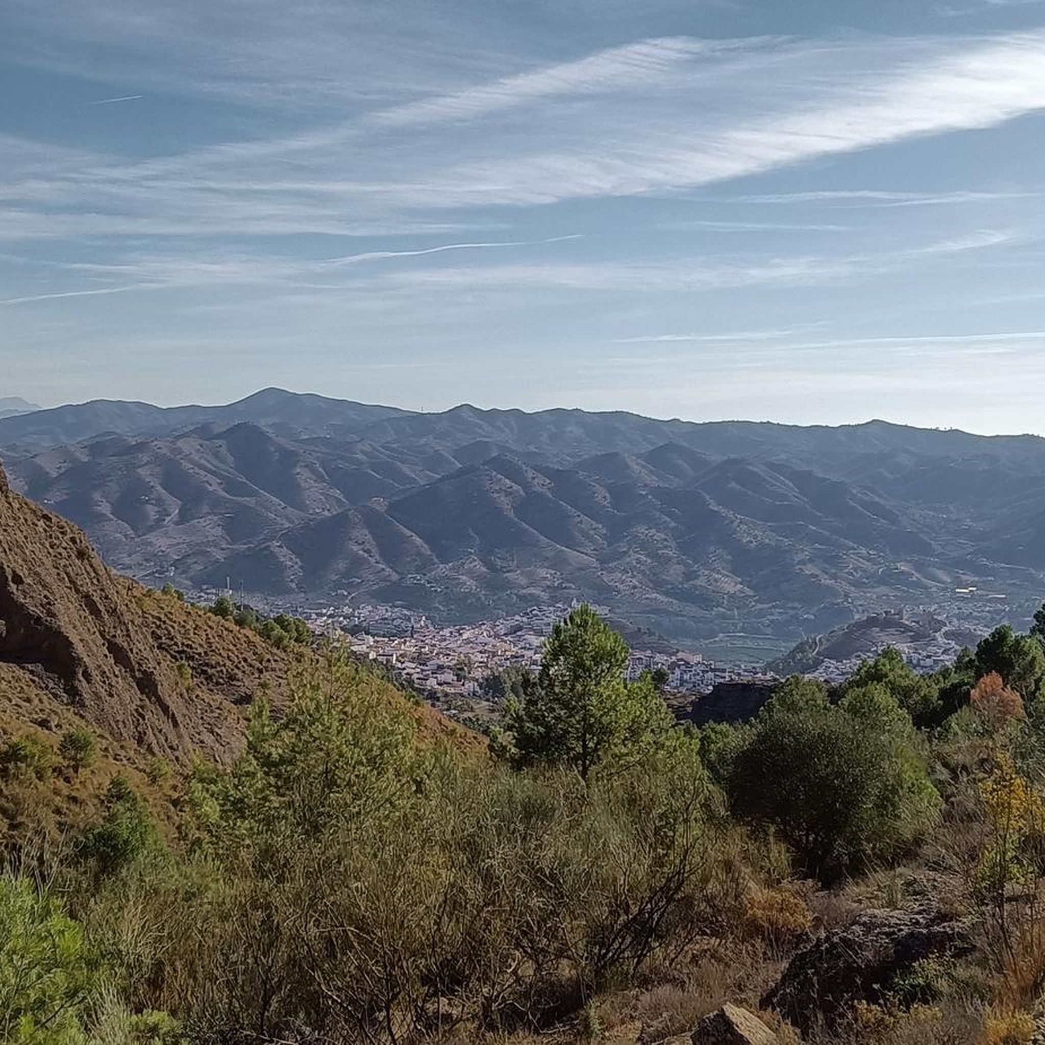
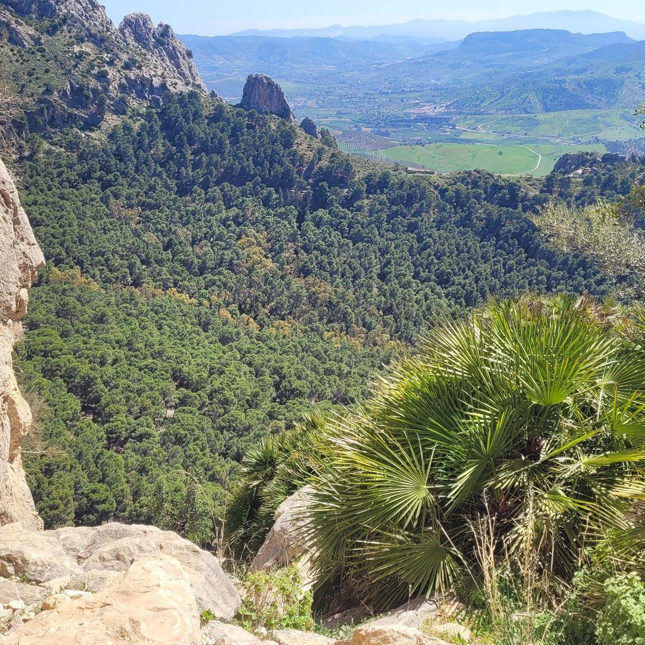
Gravel biking around Álora offers a diverse landscape of rugged mountains, dramatic river gorges, and extensive gravel and dirt tracks within the Guadalhorce Valley. The region is characterized by limestone formations, providing varied terrain for cyclists. Routes often combine quiet paved roads with unpaved surfaces, including forest tracks and gravel paths. This area provides a mix of challenging climbs and scenic trails through natural parks and along the Guadalhorce River.
Best gravel bike trails around Álora
- The most popular gravel…
Last updated: August 18, 2026
5.0
(1)
12
riders
Hard gravel ride. Very good fitness required. Mostly paved surfaces. Suitable for all skill levels.
5.0
(1)
13
riders
44.7km
03:32
1,140m
1,140m
Hard gravel ride. Very good fitness required. Mostly paved surfaces. Suitable for all skill levels.

Sign up for free
18
riders
36.4km
02:20
200m
200m
Moderate gravel ride. Good fitness required. Mostly paved surfaces. Suitable for all skill levels.
9
riders
61.5km
04:27
1,290m
1,290m
Hard gravel ride. Very good fitness required. Mostly paved surfaces. Suitable for all skill levels.
5.0
(1)
9
riders
117km
08:16
2,210m
2,210m
Hard gravel ride. Very good fitness required. Mostly paved surfaces. Suitable for all skill levels.
Get access to more routes and recommendations from other explorers.
Sign up for free
Already have an account?
Our route recommendations are based on thousands of hikes, rides, and runs completed by other people on komoot.
Start today with a free account
Your next adventure awaits.
Login or Signup
Popular around Álora
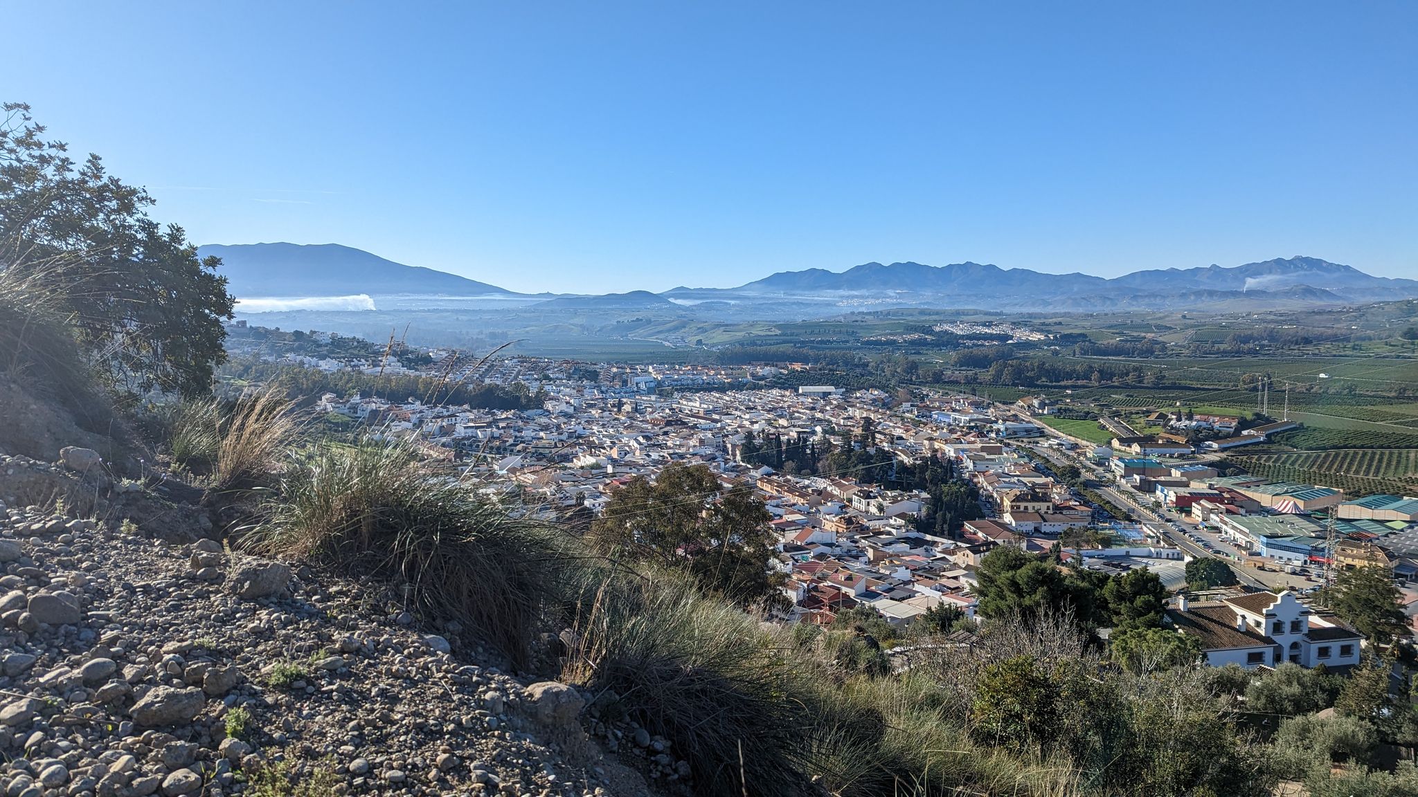
River path to the sea in Andalusia – Gran Senda del Guadalhorce (GR 248)

Andalusia without limits – Tarifa to La Puebla de Don Fabrique on the GR 7

Hike between sea and mountains — Gran Senda de Málaga (GR 249)
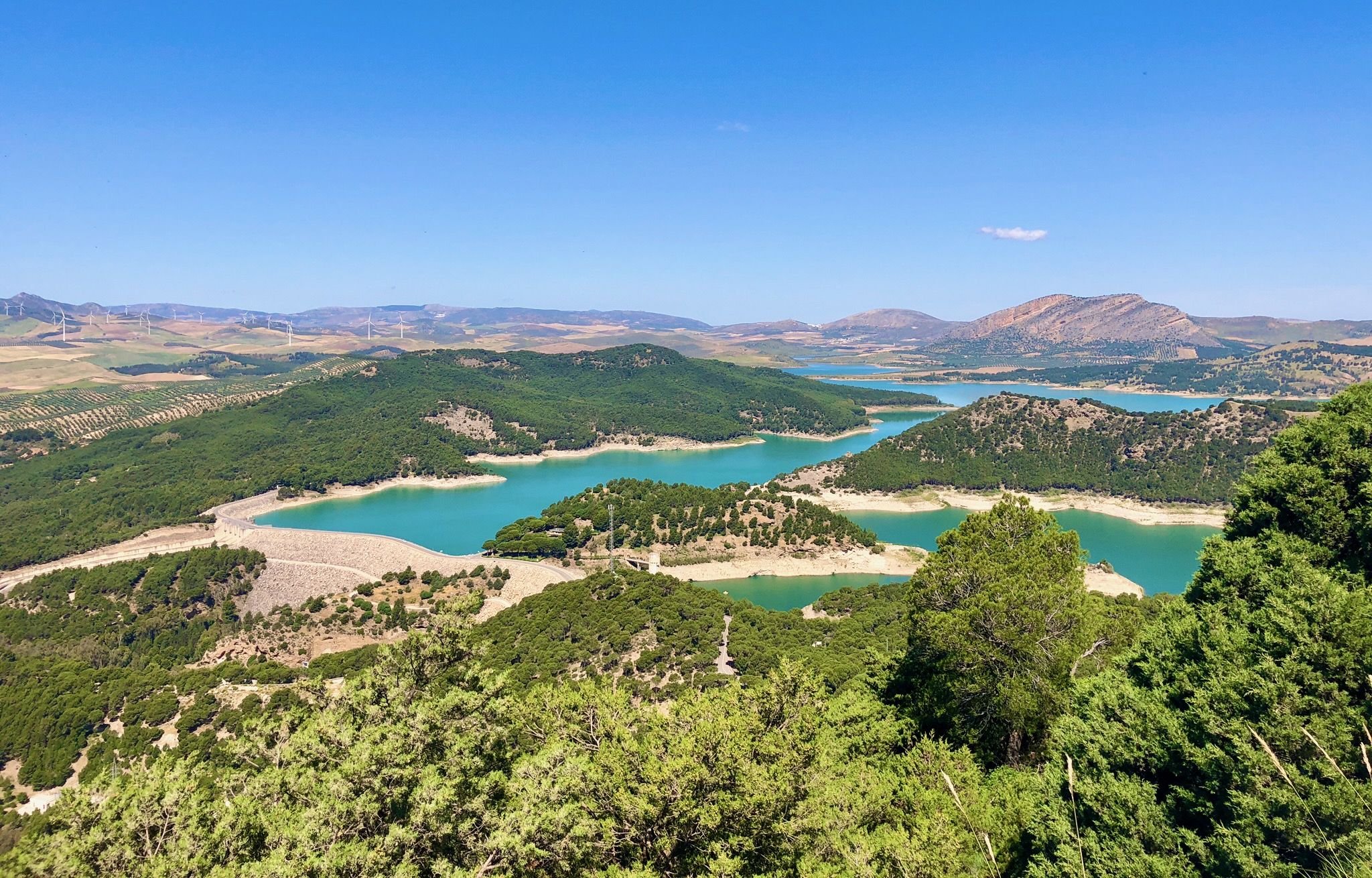
Seven days walking along the Gran Senda de Málaga (GR 249)
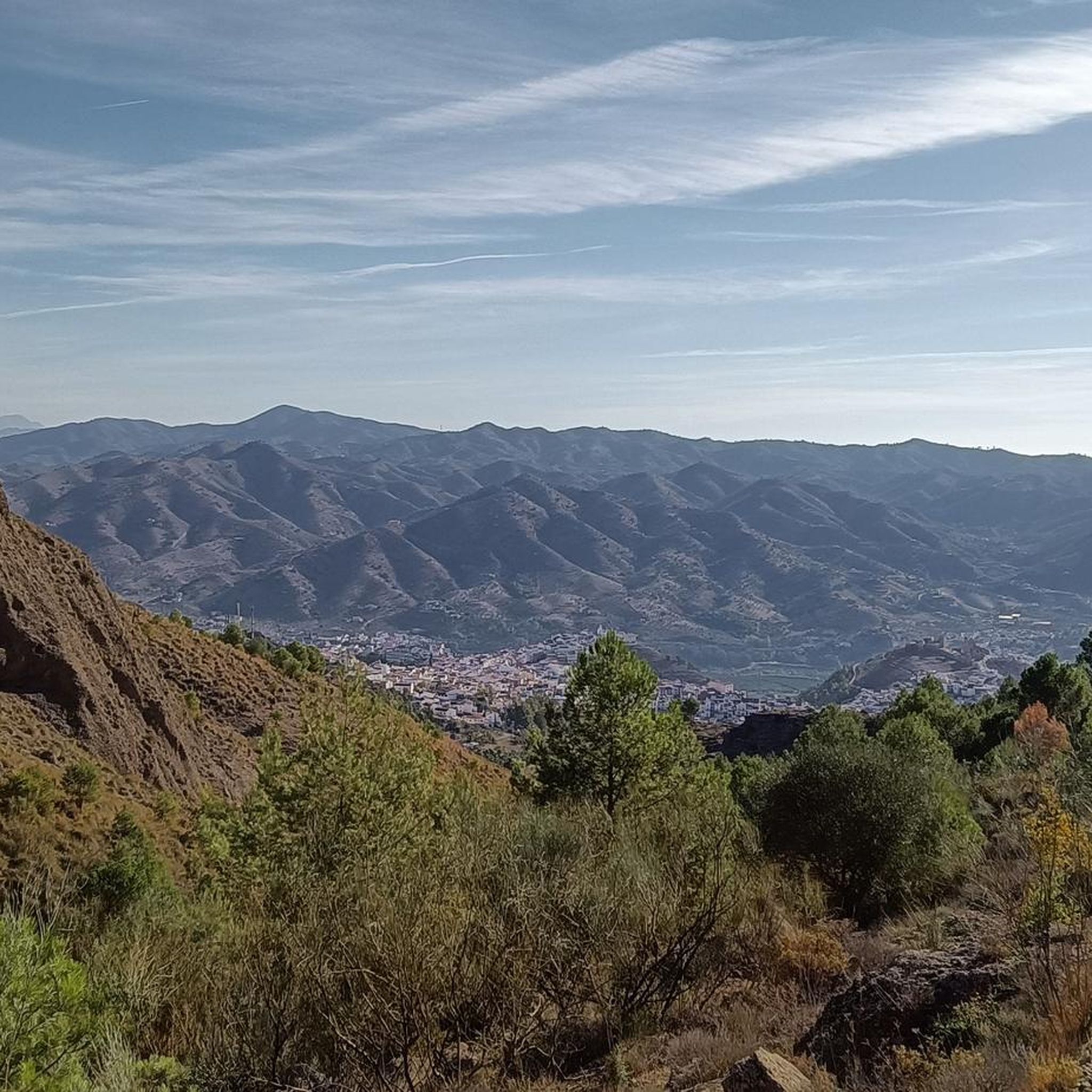
Hiking around Álora
Road Cycling Routes around Álora
Cycling around Álora
MTB Trails around Álora
Running Trails around Álora
Other adventures around Álora


Tips from the Community

Rewarding hike through the Guadalhorce gorge
0
0

The Arcos de Zapata are the arches of a historic 18th-century aqueduct intended to carry water from the Fuente del Rey to Málaga, but which was never fully operational. Today, the remaining arches are a visible relic of this ancient water conduit, some several meters high, and partially integrated into the townscape, for example, with houses built beneath them. Although the aqueduct never fulfilled its original purpose, it is considered a historical and cultural landmark of the region and is an interesting destination for cycling tours in the area.
3
0
The railway bridge near Cártama Station, also known as the Puente de Hierro, spans the Guadalhorce River and is a defining structure of the area. It was built between 1927 and 1931 to ensure a rail connection between Cártama Station and the town center. The iron structure is a prime example of early 20th-century engineering and remains part of the regional railway infrastructure. Over the years, the bridge has undergone several maintenance and modernization projects. A comprehensive restoration was carried out in 2001, followed by the installation of architectural lighting in 2006, which further emphasizes its significance as a technical structure and local landmark. The bridge continues to be used today, vividly connecting transportation history with the landscape of the Guadalhorce Valley.
1
0

You can cycle right up to the viewpoint, it's worth it! ;)
1
0

I started the last leg of Eurovelo 8 here! Instead of following the coast, I took an old railway track that's now used as a country road.
0
0

pass below MA20 highway, even if cycling is allowed. Below you will have to hike your bike because of the sand.
0
0

I passed by in July and was able to cross easily by bike.
3
0

Private golf club, but you can cross it by road.
1
0
Frequently Asked Questions
How many gravel bike trails are available around Álora?
There are over 20 gravel bike trails around Álora, offering a diverse range of experiences. The majority of these, around 19, are classified as difficult, with a couple of moderate options also available.
What kind of terrain can I expect on gravel bike trails in Álora?
Gravel biking around Álora features a varied landscape of rugged mountains, dramatic river gorges, and extensive gravel and dirt tracks within the Guadalhorce Valley. You'll encounter limestone formations, quiet paved roads, and unpaved surfaces, including forest tracks and gravel paths, often with challenging climbs.
What is the best time of year for gravel biking in Álora?
The region's climate makes it suitable for gravel biking for much of the year. Spring and autumn generally offer the most pleasant temperatures. While winter can be an option, it's always wise to check weather conditions, as some routes might be affected by rain.
Are there options for different skill levels, from beginners to advanced riders?
Yes, while many routes are challenging, Álora offers options for various abilities. You'll find difficult routes with significant elevation gain, particularly those exploring the mountainous areas. There are also moderate paths, such as the Arcos de Zapata Aqueduct – Guadalhorce River Crossing loop from Cártama, which follows the Guadalhorce River.
Are the gravel bike trails in Álora generally circular routes?
Many of the gravel bike trails around Álora are designed as circular routes, allowing you to start and finish in the same location. This includes popular options like the various loops around the Caminito del Rey and the Guadalhorce River.
What natural features or landmarks can I see while gravel biking in Álora?
The region is rich in natural beauty. You can expect to see the dramatic Desfiladero de los Gaitanes Gorge, the stunning Embalse del Guadalhorce reservoir, and the rugged landscapes of the El Chorro Nature Park. Many routes also offer views of the famous Caminito del Rey.
Are there any historical sites or castles accessible from the gravel trails?
Yes, Álora has a rich historical heritage. You can often spot the historic Álora Castle perched atop a hill, offering panoramic views. Other nearby castles include Castillo de la Peña de Ardales and Turón Castle, which add a historical dimension to your ride.
Is there public transport available to reach the gravel biking areas around Álora?
Álora is accessible by public transport, particularly by train from Málaga, which can be convenient for reaching the town itself. From there, you can access various routes. For specific starting points like El Chorro, train services are also available, making it easier to reach some of the more remote trailheads.
Where can I find parking for gravel biking routes in Álora?
Parking is generally available in Álora town and at key access points for popular routes, such as El Chorro. It's advisable to check specific route descriptions or local information for the most convenient parking spots, especially for routes starting outside the main town.
Are there any gravel routes that offer views of the famous Caminito del Rey?
Absolutely. The area around the Caminito del Rey is a major draw for gravel bikers. Routes like the View of Caminito del Rey – Caminito del Rey loop from El Chorro-Caminito del Rey and the View of Caminito del Rey – Caminito del Rey loop from Álora offer stunning vistas of the gorge and the iconic pathway.
What do other gravel bikers enjoy the most about gravel biking in Álora?
The gravel biking experience in Álora is highly rated by the komoot community, with an average score of 4.4 stars. Riders frequently praise the dramatic views, the diverse terrain combining quiet roads with challenging gravel tracks, and the opportunity to explore natural parks and historical sites.
Are there any gravel routes suitable for families with children?
While many routes in Álora are classified as difficult due to significant elevation and rugged terrain, families might find shorter, flatter sections along the Guadalhorce River more suitable. It's recommended to check the difficulty and elevation profiles of specific routes to ensure they match your family's experience level.
Most popular attractions around Álora

Get inspired with the komoot mobile app


Explore more
Browse the best Gravel rides in other regions.
