The best gravel rides around Sant Martí De Centelles
4.5
(15)
719
riders
110
rides
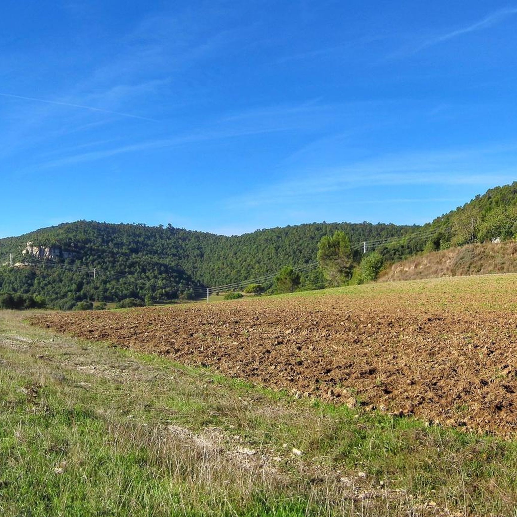
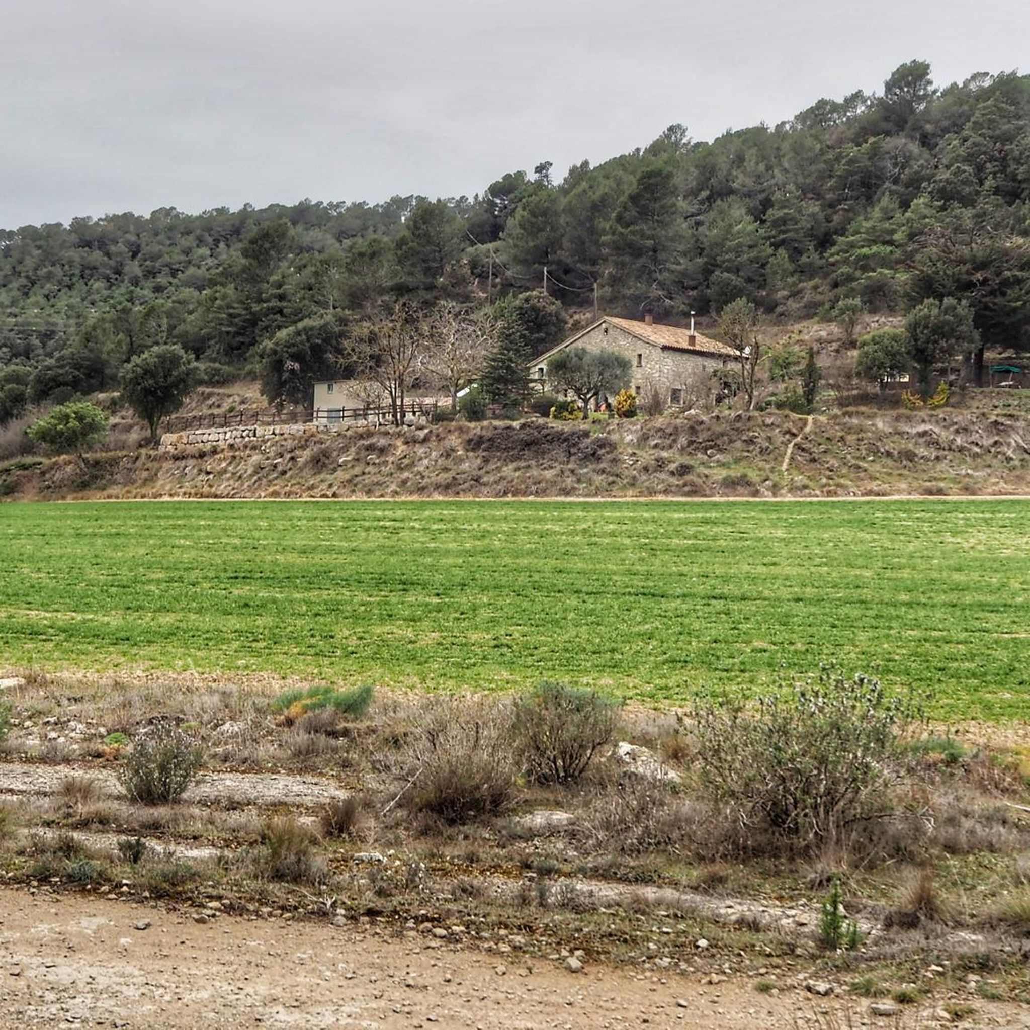
Gravel biking around Sant Martí De Centelles offers routes through varied terrain characterized by significant elevation changes and forested areas. The region features a network of paths suitable for gravel bikes, often leading through hills and past natural landmarks. These trails provide opportunities for riders to experience the landscape of Sant Martí De Centelles, which includes both challenging climbs and winding paths.
Best gravel bike trails around Sant Martí De Centelles
- The most popular gravel bike trail is Entrance to…
Last updated: August 18, 2026
18
riders
46.6km
03:08
670m
670m
Hard gravel ride. Very good fitness required. Mostly paved surfaces. Suitable for all skill levels.
5.0
(1)
14
riders
Hard gravel ride. Very good fitness required. You may need to push your bike for some segments of this route.

Sign up for free
4.0
(1)
10
riders
39.9km
03:00
650m
650m
Hard gravel ride. Very good fitness required. Mostly paved surfaces. Suitable for all skill levels.
4.0
(1)
7
riders
51.6km
04:24
1,220m
1,220m
Hard gravel ride. Very good fitness required. Mostly paved surfaces. Suitable for all skill levels.
8
riders
39.2km
02:52
650m
650m
Hard gravel ride. Very good fitness required. Mostly paved surfaces. Suitable for all skill levels.
Get access to more routes and recommendations from other explorers.
Sign up for free
Already have an account?
Our route recommendations are based on thousands of hikes, rides, and runs completed by other people on komoot.
Start today with a free account
Your next adventure awaits.
Login or Signup
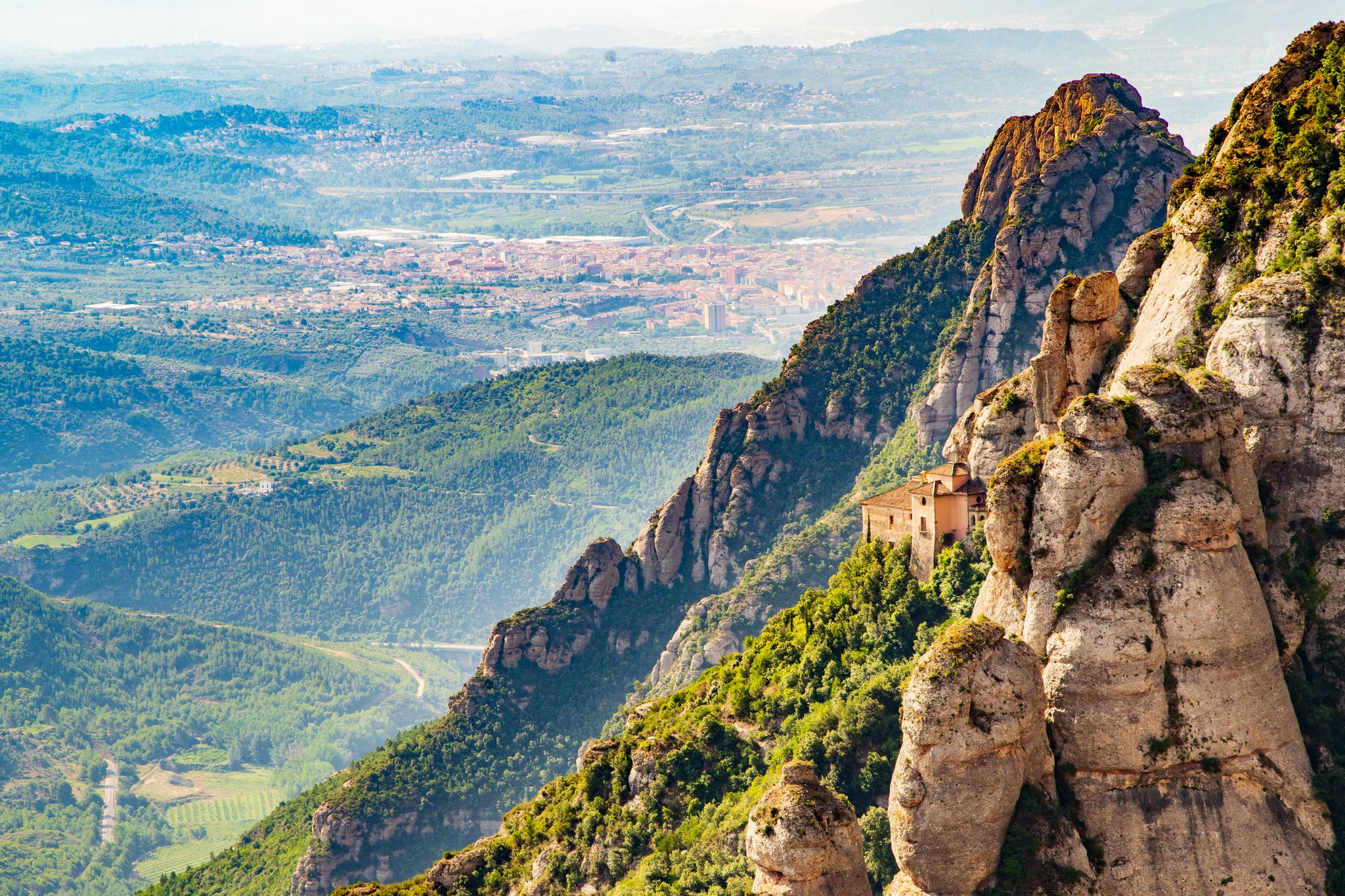
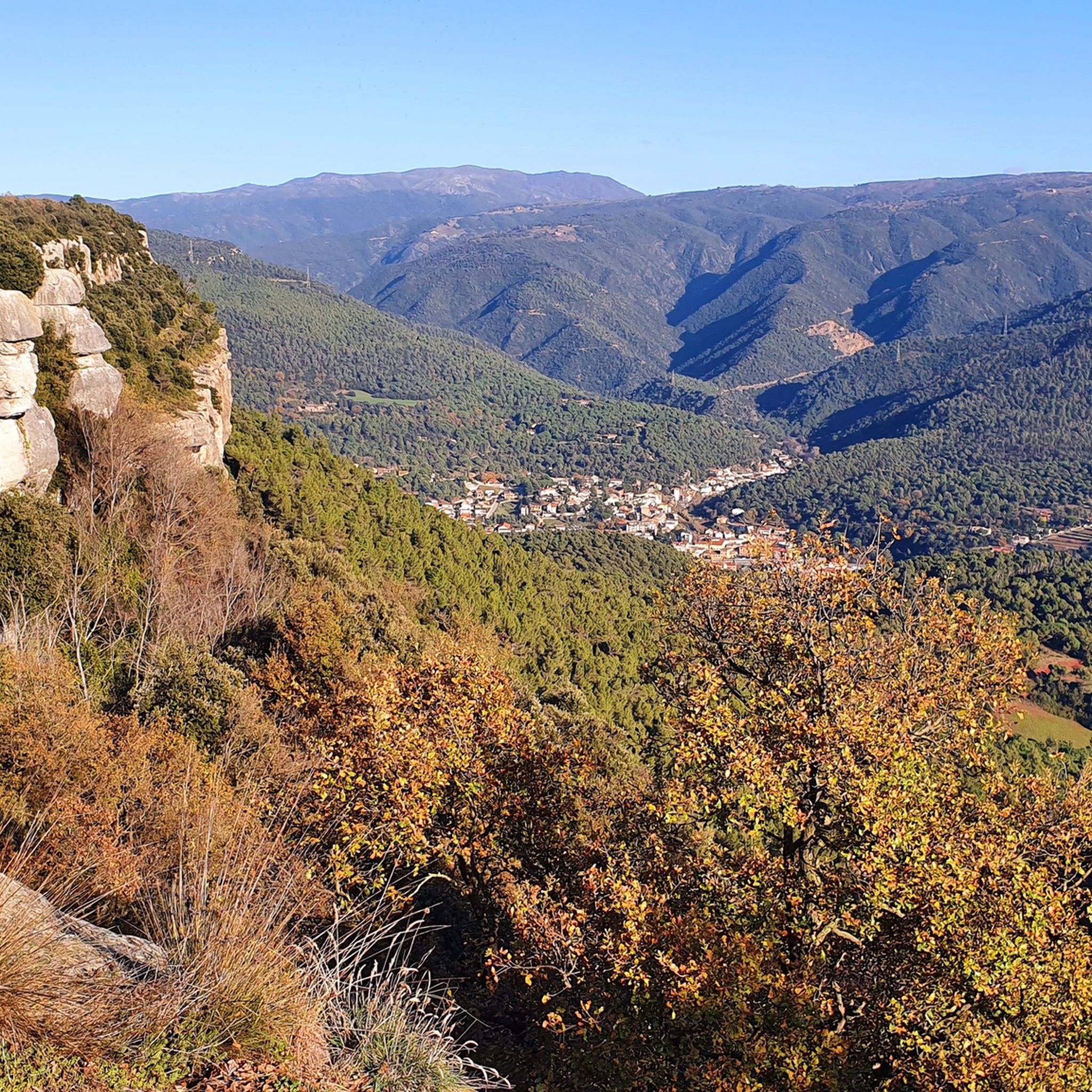
Other adventures around Sant Martí De Centelles

Tips from the Community

The monastery of Santa Maria de l’Estany is one of the great ensembles of Catalan Romanesque architecture. The church, consecrated in 1133, stands out for its sobriety and for the elegant cimborio that crowns the transept. But the great treasure is in the cloister: its 72 capitals depict religious and profane scenes, among which the Last Supper and the triumphal entry of Jesus into Jerusalem stand out.
0
0

La Cova del Toll is a prehistoric cave located in Moià, in the Moianès region. Situated at an altitude of 745 meters, it has a total length of 1148 meters. The part open for visits is 180.55 meters long and is L-shaped. It is one of the richest prehistoric caves in Europe in terms of Quaternary fauna. The guided tour, very well conducted by the professional and geared towards younger visitors, explains in a very detailed and engaging manner part of the history of these caves, their formation, inhabitants, uses, discovery, and findings.
0
0

Corriol paral·lel al riu Congost, molt ombrívol, fresc i tota una alternativa per anar cap al Figaró des de la Garriga sense passar per l'autovia.
0
0
Pont de la R3 de rodalies sobre el riu Congost i l'antiga carretera de Vic fins al Figaró.
0
0
Camí paral·lel al riu Congost que permet anar des de La Garriga fins al Tagamanent sense haver de passar per l'autovia, nomes gravel o btt.
0
0

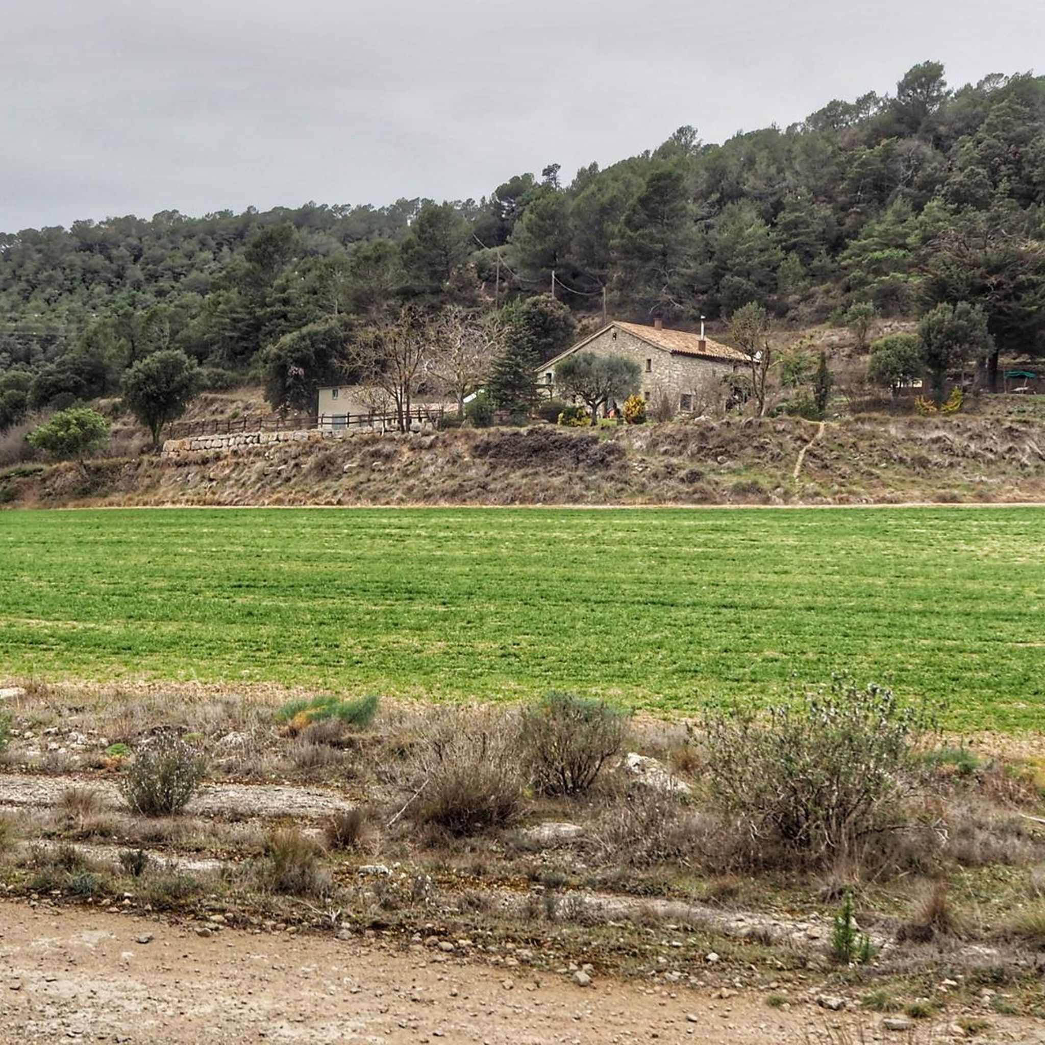
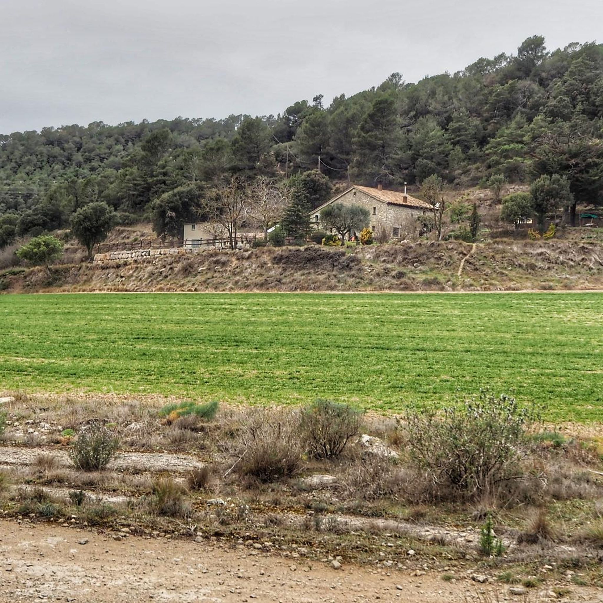
A medieval farmhouse extended between the 16th and 18th centuries, built taking advantage of the uneven ground, which allows direct entry from the ground floor. On the ground floor there is still a vaulted nave and an old walled-in voussoir portal, a reminder of its past as a livestock farmer. In front of the façade is the old barn and, a few metres away, the pond-washing area surrounded by oak trees that showed the self-sufficiency of the place. An elevated and silent point, ideal for understanding how these farmhouses were true hubs of life in Montseny.
0
0
The large Cànoves reservoir, built in the 1980s on the former agricultural valley that was submerged. In addition to its function as a water reserve, there is a little-discussed detail: under its waters still lie the remains of terraces, old paths and some dry stone walls that can only be glimpsed in periods of extreme drought. During construction, springs and water mines were diverted that still drain the area. Access is easy, the perimeter path is gentle and the closed valley creates a characteristic silence that accompanies the entire tour. A perfect point to understand how this corner of Montseny went from an inhabited valley to a peaceful lake.
0
0

Collsuspina is a small village with fewer than 400 inhabitants. It belongs to the Moyanés region. Its name comes from the fact that it was established on the Espina pass, along the old royal road from Manresa to Vic. The pass was named after the important L'Espina farmhouse that once stood there.
0
0
Frequently Asked Questions
How many gravel bike trails are available in Sant Martí De Centelles?
There are over 100 gravel bike trails in Sant Martí De Centelles, offering a wide range of options for different skill levels. The region features a network of paths suitable for gravel bikes, often leading through hills and past natural landmarks.
Are there challenging gravel bike routes with significant elevation gain?
Yes, Sant Martí De Centelles is known for its significant elevation changes. Many routes offer substantial climbs, such as the Sau Reservoir – Sau Dam loop from Centelles, which features over 1,490 meters of ascent over 102.8 km.
What are the typical durations for gravel bike rides in this area?
Ride durations vary significantly based on the route and your pace. For example, the Entrance to Centelles – Our Lady of Help loop from Sant Martí de Centelles typically takes around 3 hours 11 minutes, while longer routes like the Vallforners Reservoir – Vallforners Reservoir loop from Sant Martí de Centelles can take over 4 hours.
Are there family-friendly gravel biking options in Sant Martí De Centelles?
While many routes in Sant Martí De Centelles feature significant elevation, there are a few easier options available. The region offers 3 easy routes, which might be more suitable for families or those looking for a less strenuous ride. Always check the route details for specific difficulty and terrain.
What kind of scenery can I expect on the gravel bike trails?
The gravel trails in Sant Martí De Centelles traverse varied terrain, characterized by hills, dense forests, and reservoir areas. You'll experience the natural landscape of the region, with opportunities to see landmarks like the Vallforners Reservoir and the View of the Montseny Reservoir.
Are most gravel bike routes in Sant Martí De Centelles circular?
Many of the popular gravel bike routes in Sant Martí De Centelles are designed as loops, allowing you to start and finish at the same point. Examples include the Collsuspina – Santa Coloma Sasserra loop from Sant Quirze Safaja and the Santa Coloma Sasserra – Coll de la Pullosa (917 m) loop from Castellcir.
What do other gravel bikers say about the trails in Sant Martí De Centelles?
The gravel biking routes in Sant Martí De Centelles are highly rated by the komoot community, with an average score of 4.5 stars from over 20 reviews. Riders often praise the varied terrain, challenging climbs, and the natural beauty of the forested areas and reservoirs.
Are there any interesting historical sites or shelters along the routes?
Yes, the region has several points of interest. You might encounter historical sites like the Molines Shelter 2 or the Granja Shelter 3, which offer a glimpse into the area's past.
What is the best time of year for gravel biking in Sant Martí De Centelles?
The region's climate generally allows for gravel biking throughout much of the year. However, spring and autumn often provide the most comfortable temperatures and vibrant scenery. Always check local weather conditions before heading out, especially during winter or peak summer.
Where can I find parking for gravel biking in Sant Martí De Centelles?
While specific parking areas are not detailed for every route, many tours start from towns or villages like Sant Martí de Centelles or Centelles, where public parking facilities are typically available. It's advisable to check the starting point of your chosen route for the most convenient parking options.
Are there any hidden gems or less-traveled routes for gravel biking?
With over 100 routes, there are many opportunities to discover less-traveled paths beyond the most popular ones. Exploring routes with fewer reviews or those that venture deeper into the forested areas can lead to unique and quieter gravel biking experiences.
Most popular routes around Sant Martí De Centelles
Most popular attractions around Sant Martí De Centelles

Get inspired with the komoot mobile app


Explore more
Browse the best Gravel rides in other regions.
