The best gravel rides around Lanjarón
4.3
(9)
42
riders
10
rides
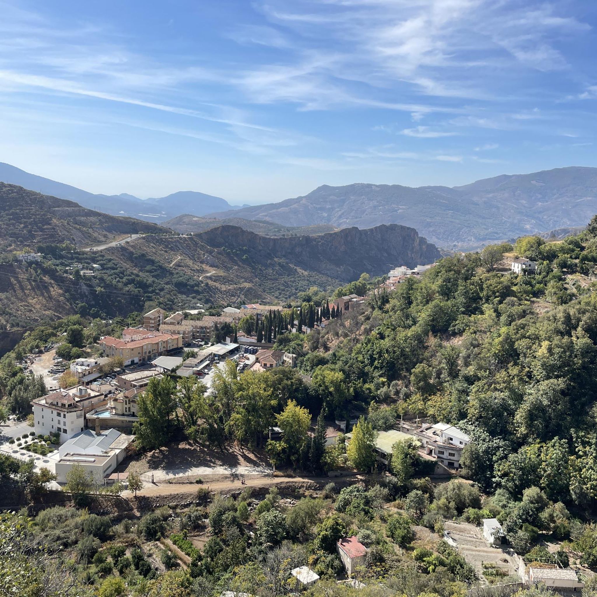
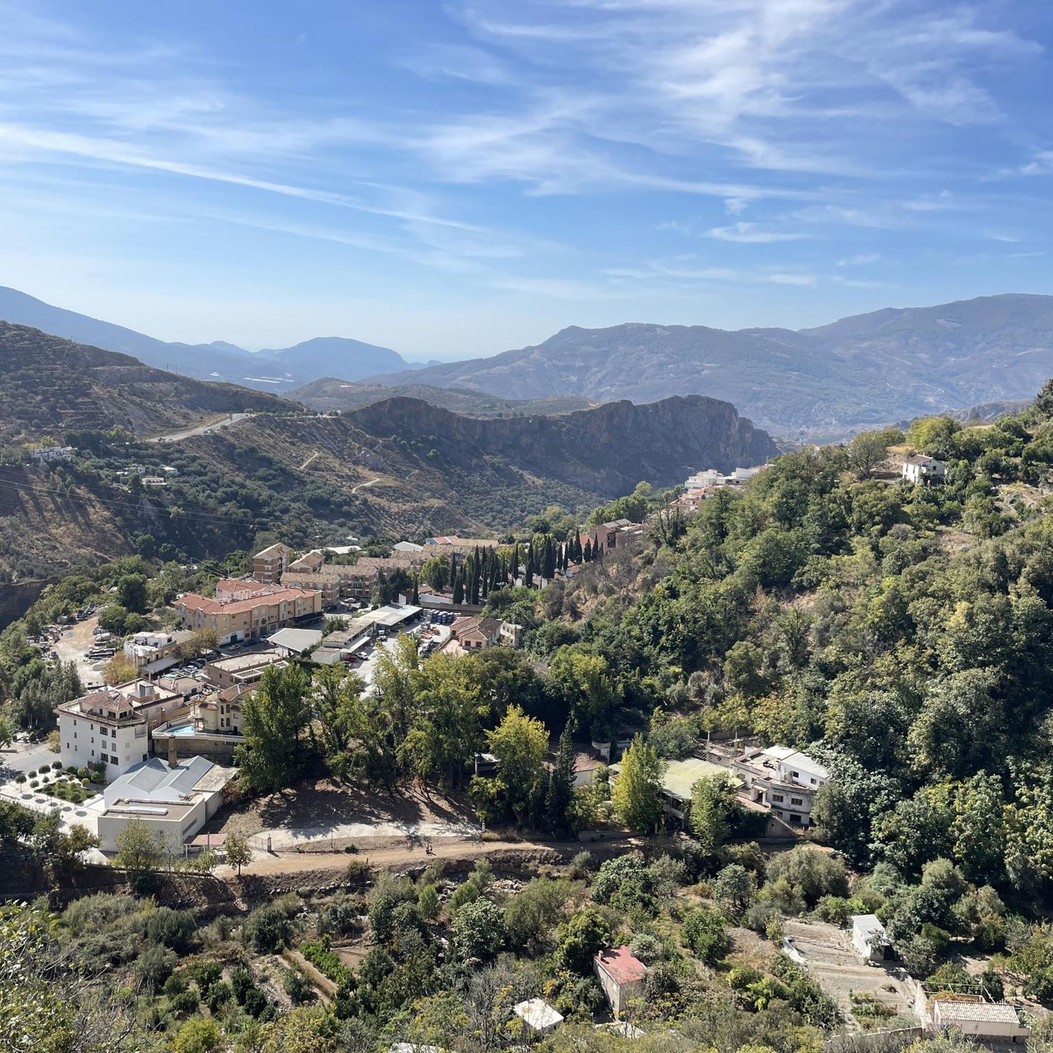
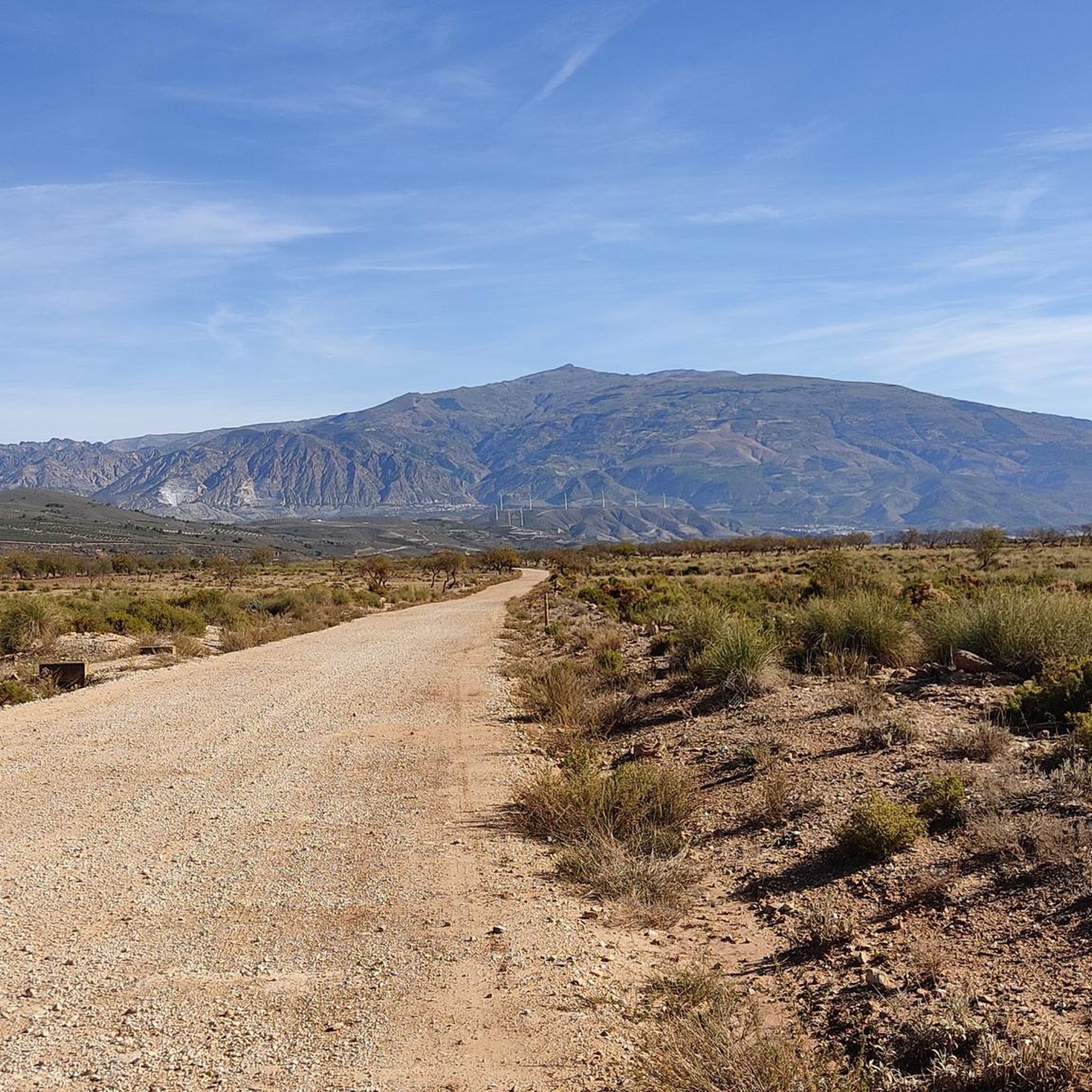
Gravel biking around Lanjarón offers diverse terrain on the southern slopes of the Sierra Nevada. The region features a varied topography including steep cliffs, river valleys, and traditional terraced landscapes. Riders encounter a mix of paved and unpaved surfaces, with routes often following ancient irrigation channels known as *acequias* and passing through olive and almond groves. Expansive views over the Río Lanjarón Valley and the Lecrín Valley are common.
Best gravel bike trails around Lanjarón
- The most popular gravel bike…
Last updated: July 3, 2026
5.0
(2)
8
riders
71.7km
05:35
1,740m
1,740m
Hard gravel ride. Very good fitness required. Mostly paved surfaces. Suitable for all skill levels.
4
riders
56.5km
04:47
1,590m
1,590m
Hard gravel ride. Very good fitness required. Mostly paved surfaces. Suitable for all skill levels.

Sign up for free
4.7
(3)
9
riders
71.2km
05:26
1,740m
1,740m
Hard gravel ride. Very good fitness required. Mostly paved surfaces. Suitable for all skill levels.
4
riders
27.6km
02:22
900m
900m
Hard gravel ride. Very good fitness required. Mostly paved surfaces. Suitable for all skill levels.
2
riders
21.2km
01:54
580m
580m
Hard gravel ride. Very good fitness required. Mostly paved surfaces. Suitable for all skill levels.
Get access to more routes and recommendations from other explorers.
Sign up for free
Already have an account?
Our route recommendations are based on thousands of hikes, rides, and runs completed by other people on komoot.
Start today with a free account
Your next adventure awaits.
Login or Signup
Popular around Lanjarón

Bikepacking the mountains and deserts of Andalucía
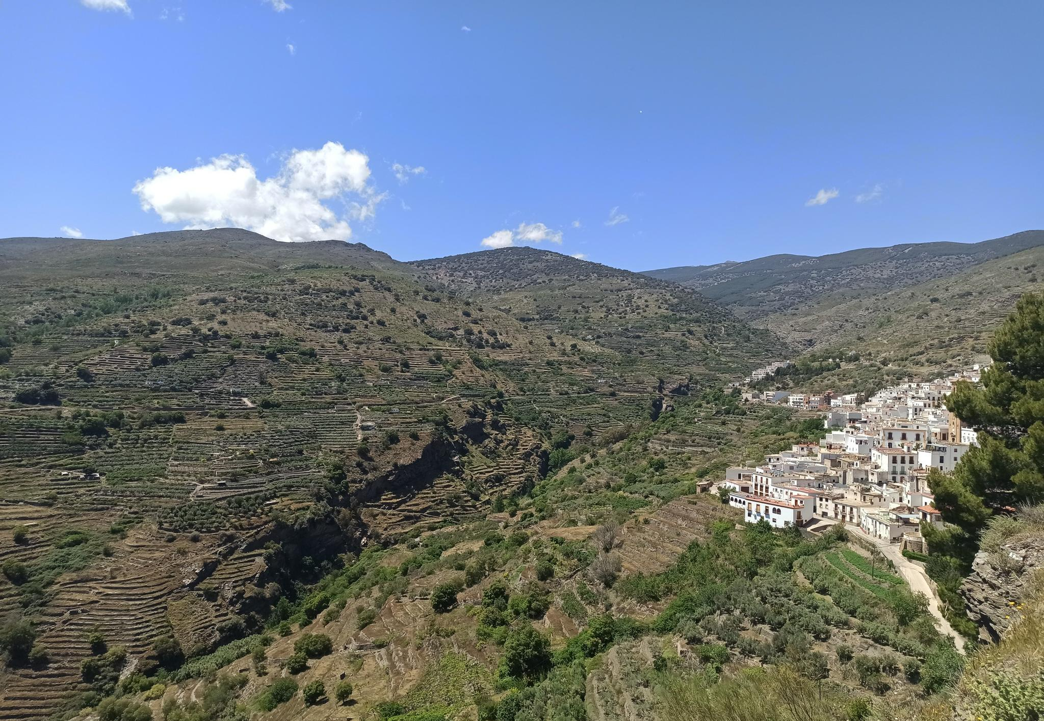
Among white villages - Path of the Alpujarra (GR 142)
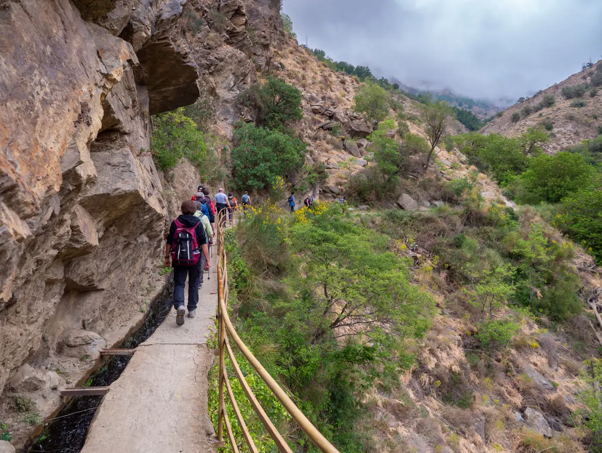
The gateway to the Alpujarra – five incredible routes from Lanjarón
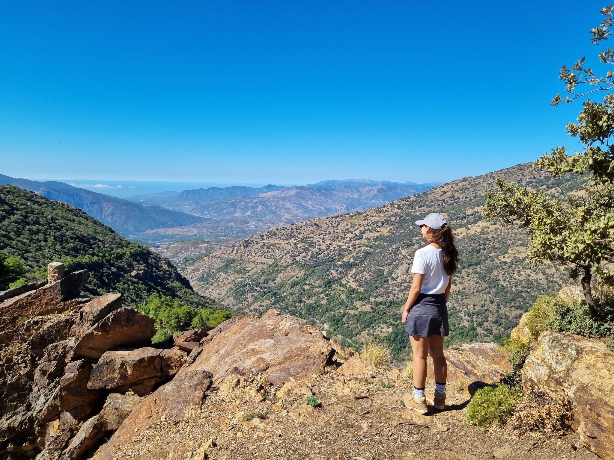
Lanjarón to Trevélez – five days in the Alpujarra of Granada

Explore the Betic Mountains on two wheels – Altravesur

Andalusia without limits – Tarifa to La Puebla de Don Fabrique on the GR 7
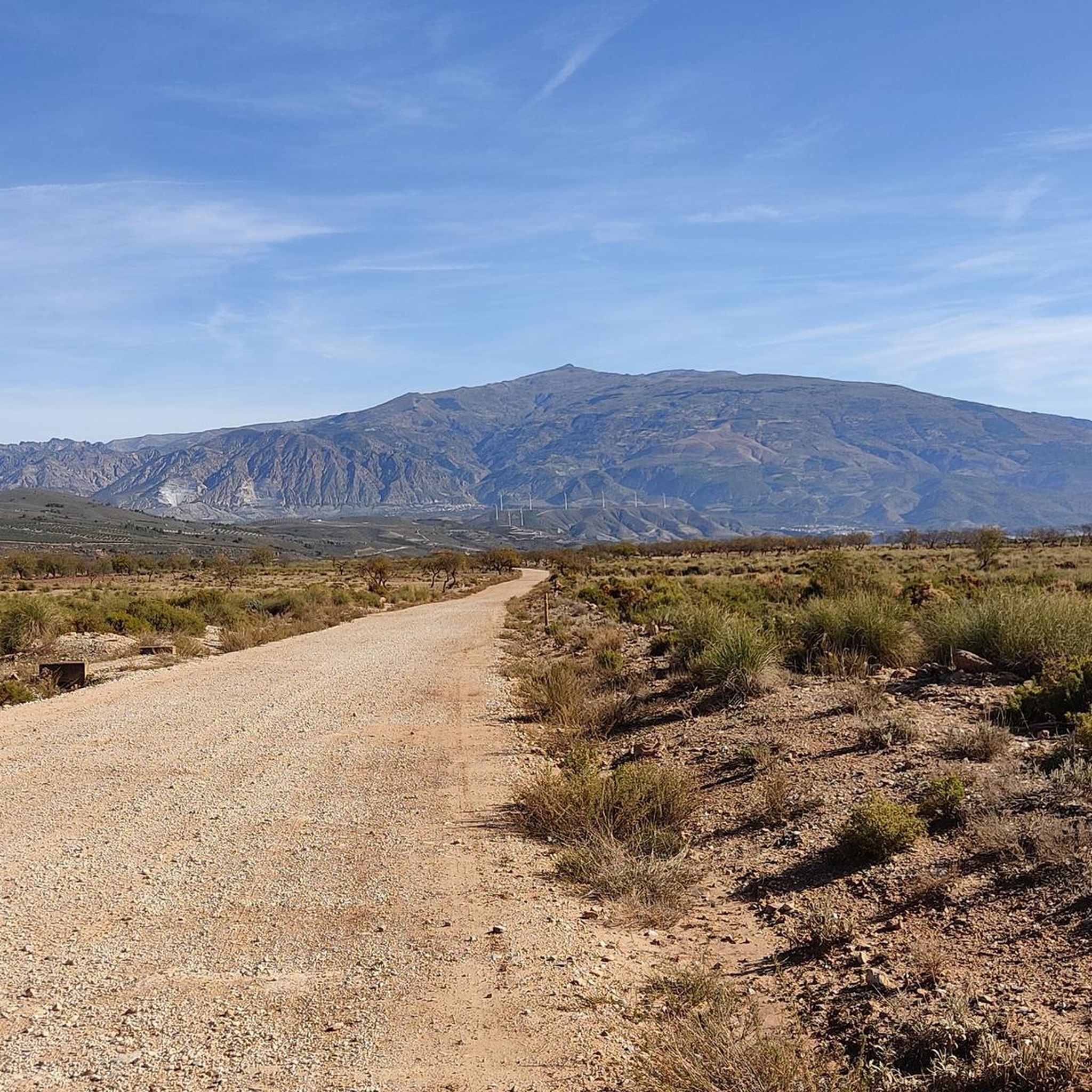
Hiking around Lanjarón
Road Cycling Routes around Lanjarón
Running Trails around Lanjarón
Cycling around Lanjarón
Other adventures around Lanjarón


Tips from the Community

The Talará fountain is located next to the church. It has water and is perfect for refilling your water bottles.
1
0

Laundry in Pinos del Valle.
0
0
Cuajar Alto Wash House. A very pretty village.
0
0

This fabulous viewpoint located in Capileira is located at the foot of the slopes. It contemplates two different interpretation areas, although both share the fact of offering an impressive panoramic view. Access is through paths delimited by stones and, in addition, the equipment has different interpretive panels with information about the geological history of the area as well as its most notable fauna. In short, Puerto Molina is a must-see stop on the way up from Hoya del Portillo to the Trevélez viewpoint. The views of the southern part of the Sierra Nevada Natural Park on the one hand, with the Poqueira ravine, the Toril river and practically the entire line of three thousand before your eyes, and the contraviesa, Sierra de Lújar and the Mediterranean Sea, on the clearer days, on the other, make this emblematic place a special viewpoint.
0
0

Beautiful stretch of road with great views😎
0
0

There should be a cross-sport highlight for watering holes, especially in hot regions. In most places in this area there are a lot of bars where you can buy drinks.
0
0
Small white mountain village. The landscape is a great area, the asphalt here is good to decent and there is very little traffic.
0
0
Frequently Asked Questions
What kind of terrain can I expect on gravel bike trails around Lanjarón?
The terrain around Lanjarón is highly varied, offering a mix of paved and unpaved surfaces. You'll encounter challenging climbs and descents, often following ancient irrigation channels known as acequias, and passing through olive and almond groves. The region's diverse topography includes steep cliffs, river valleys, and traditional terraced landscapes, all set against the backdrop of the Sierra Nevada.
Are there any easy or family-friendly gravel bike routes in Lanjarón?
While Lanjarón offers a wide array of routes, the gravel bike trails listed in this guide are generally considered difficult, featuring significant elevation gain and technical sections. For example, routes like Fuente de Vélez de Benaudalla – Guájar Faragüit Fountain loop from Vélez de Benaudalla and Restábal Village – Metal Bridge loop from Nigüelas require sustained effort. There are no easy or moderate routes listed in this guide specifically for gravel biking.
What is the best time of year for gravel biking in Lanjarón?
Lanjarón enjoys a sunny microclimate with over 300 days of sunshine annually, making it suitable for outdoor activities almost year-round. However, spring and autumn are particularly prime seasons for gravel biking, offering pleasant temperatures and vibrant landscapes. Winter can bring snow to higher elevations, while summer can be quite warm, though the region's varied topography allows for cooler options.
What are some notable natural features or viewpoints I can see along the trails?
Many routes offer expansive views over the Río Lanjarón Valley, the Lecrín Valley, and the Embalses de Rules and Beznar reservoirs. On clear days, you might even spot the distant Mediterranean Sea. You can also explore natural attractions like the Barranco de la Luna Gorge or the Cahorros de Nigüelas Waterfall, which are accessible from some routes.
Are there any historical landmarks or castles to explore near the gravel routes?
Yes, the region is rich in history. You can find ruins of the Lanjarón Castle Ruins, which offer a glimpse into the area's Moorish past. Other nearby historical sites include El Castillejo Fortress and Castillo de los Ulloa: Views of Vélez de Benaudalla, providing interesting stops during your rides.
How many gravel bike trails are available in this guide for Lanjarón?
This guide features 8 gravel bike trails around Lanjarón. All of them are categorized as difficult, offering challenging experiences for experienced riders.
What do other gravel bikers enjoy most about the trails in Lanjarón?
The gravel bike trails in Lanjarón are highly rated by the komoot community, with an average score of 4.0 stars. Reviewers often praise the diverse terrain, the stunning views over the valleys and reservoirs, and the challenging nature of the routes, which provide a rewarding experience.
Are there any loop trails for gravel biking in Lanjarón?
Yes, many of the gravel routes around Lanjarón are designed as loops. For example, the Restábal Village – View of Restábal loop from Los Guájares is a popular loop trail leading through the scenic Lecrín Valley.
Is it possible to find parking near the gravel bike trails in Lanjarón?
Lanjarón, being a popular base for outdoor activities, generally offers parking options within the town or at the start points of various trails. Specific parking details can often be found on individual route pages on komoot, but it's advisable to check local signage upon arrival.
Can I access the gravel bike trails using public transport to Lanjarón?
Lanjarón is accessible by public transport, primarily bus services connecting it to larger towns like Granada. Once in Lanjarón, you can often cycle directly from the town center to many of the trailheads. It's recommended to check local bus schedules and policies regarding bicycle transport before planning your trip.
Are there places to eat or drink along the gravel bike routes?
While the routes themselves might traverse rural areas, Lanjarón and the surrounding villages like Vélez de Benaudalla, Nigüelas, and Los Guájares offer various cafes, restaurants, and shops where you can refuel. It's a good idea to plan your stops in advance, especially on longer routes, and carry sufficient water and snacks.
What are the typical distances and elevation gains for gravel routes in this area?
The gravel routes in this guide vary significantly in length and elevation. You can expect distances ranging from approximately 22 km to over 74 km. Elevation gains are substantial, often exceeding 1300 meters, with some routes climbing over 2000 meters, such as the Ítrabo Spring – View of Salobreña loop from Vélez de Benaudalla.
Most popular routes around Lanjarón
Most popular attractions around Lanjarón

Get inspired with the komoot mobile app


Explore more
Browse the best Gravel rides in other regions.
