The best gravel rides around Yecla
5.0
(1)
55
riders
10
rides
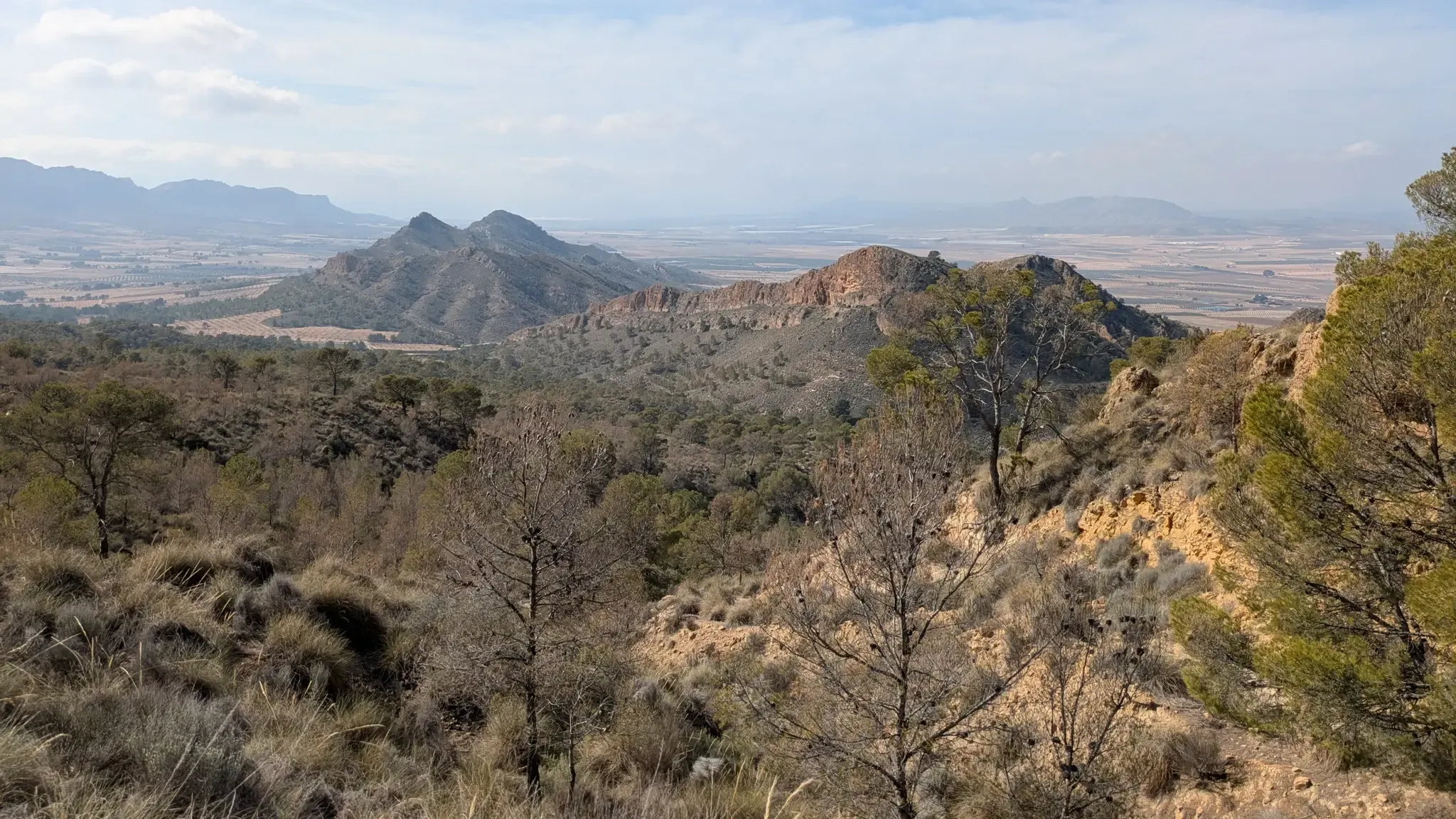
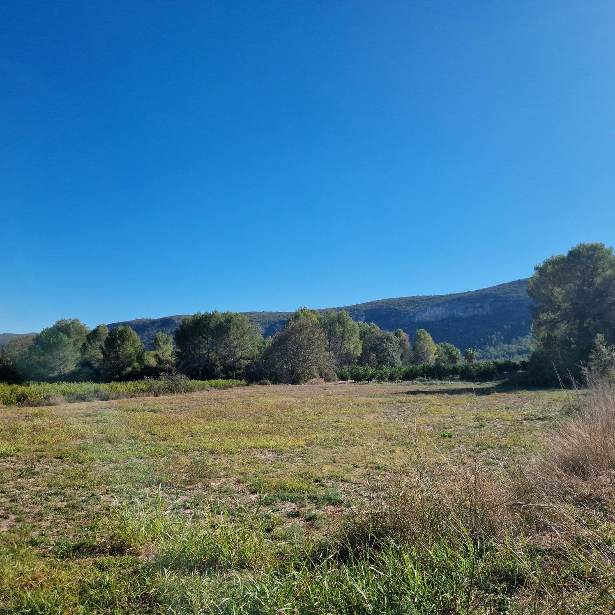
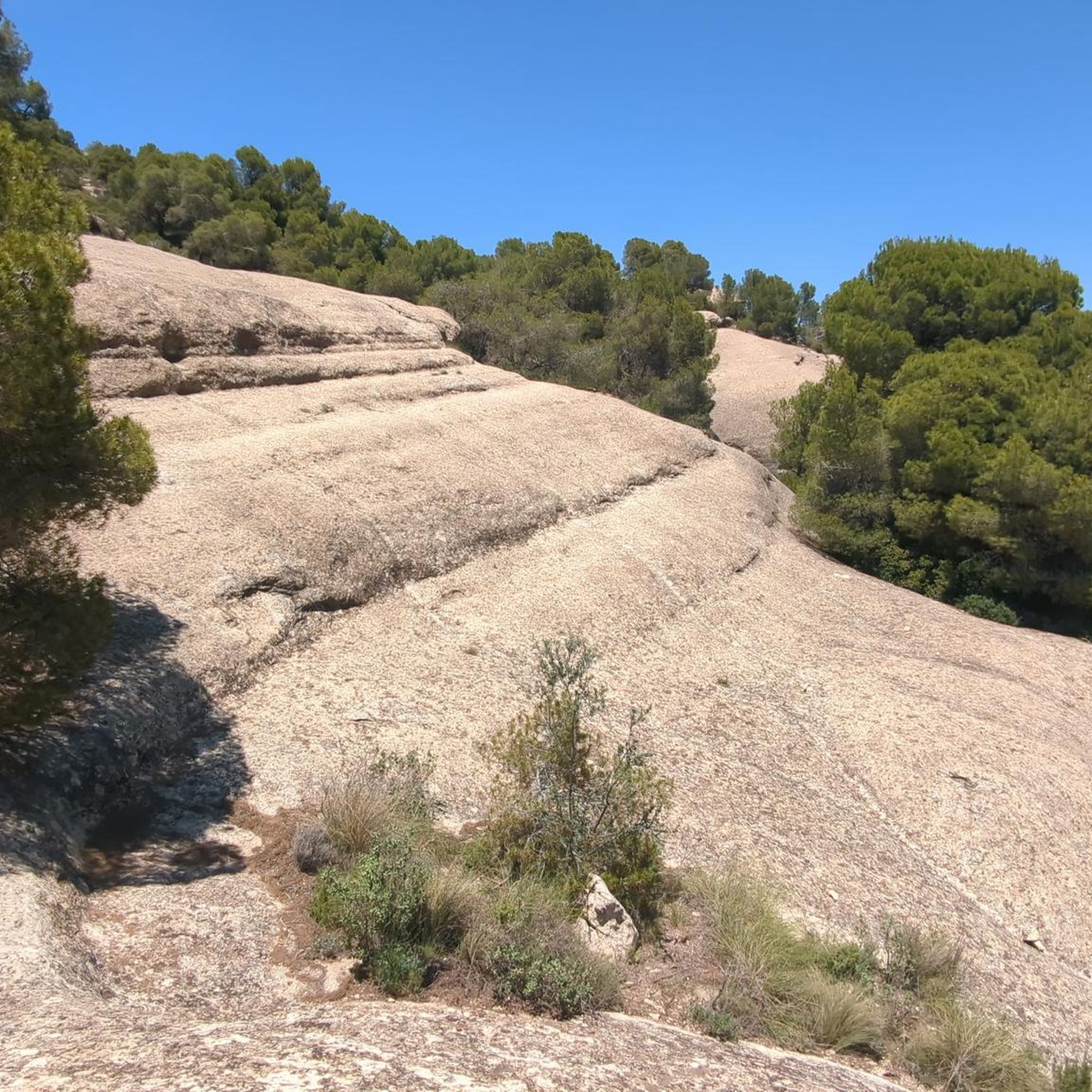
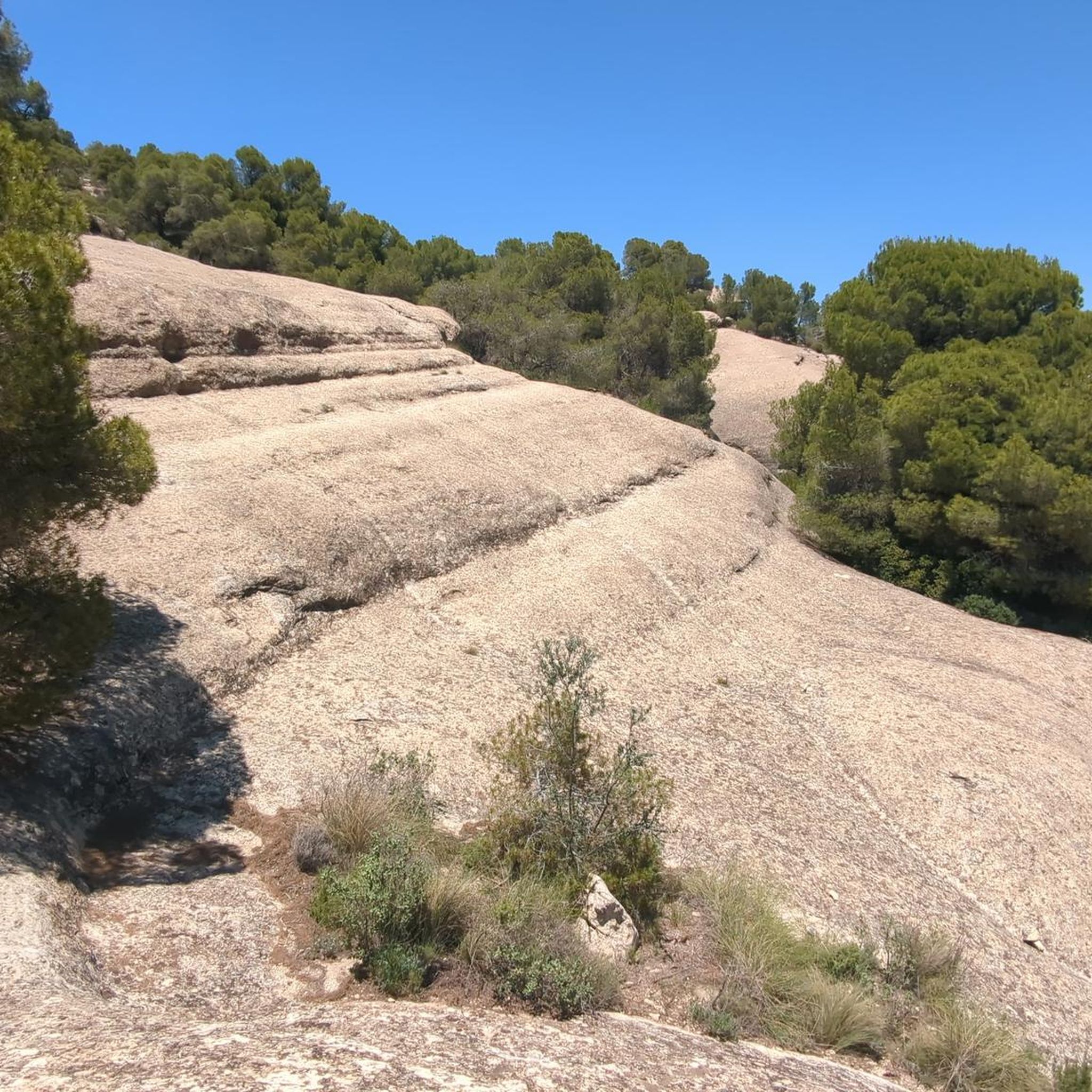
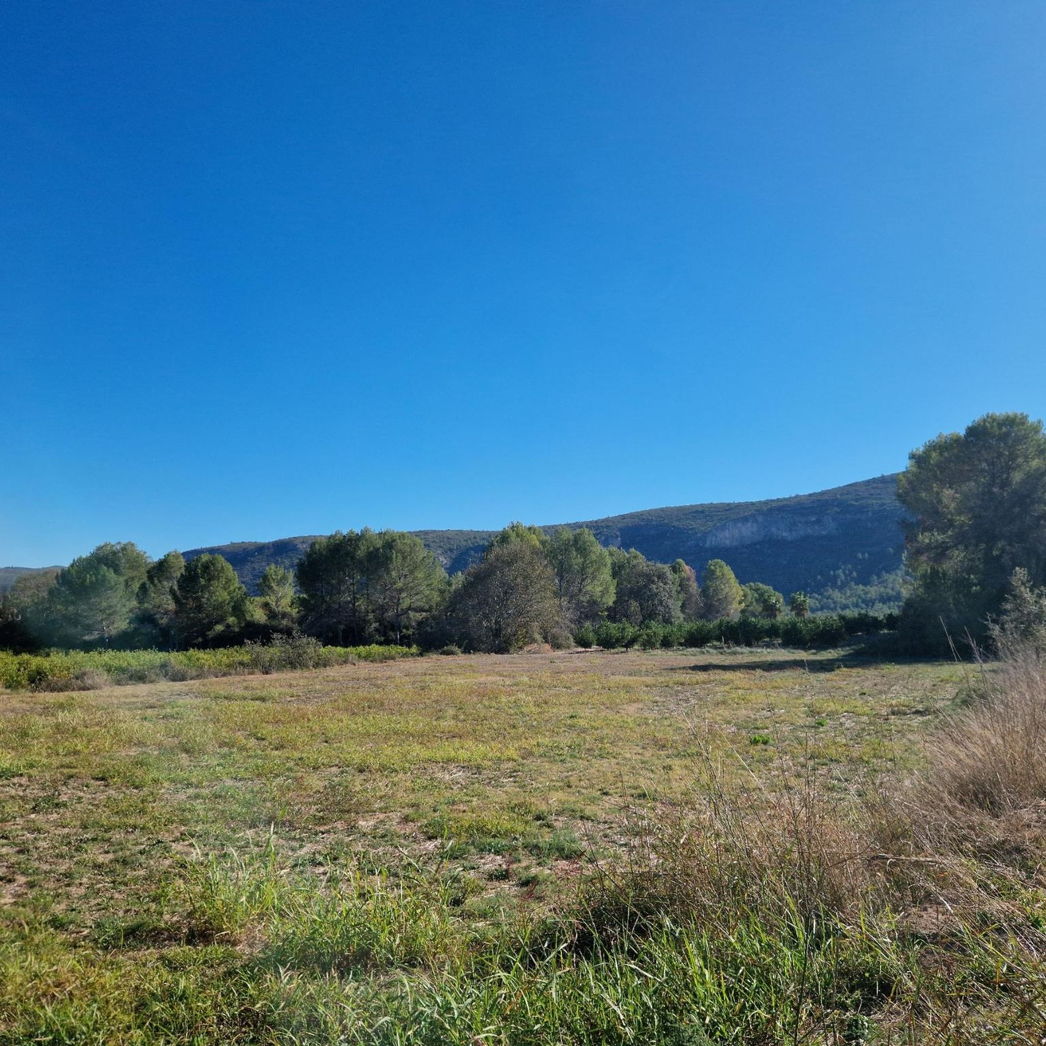
Gravel biking around Yecla offers diverse landscapes, transitioning from high plains and extensive vineyards to mountainous areas. The region is characterized by varied terrain, including prominent mountain ranges like Sierra Salinas and Monte Arabí, alongside open plains dotted with vineyards and almond groves. This combination creates an extensive network of routes suitable for gravel biking, with many wide and well-maintained gravel roads. Steppes, ravines, and natural springs also contribute to the varied scenery encountered on gravel bike trails Yecla.
Best…
Last updated: July 8, 2026
6
riders
56.5km
04:08
480m
480m
Hard gravel ride. Very good fitness required. Mostly paved surfaces. Suitable for all skill levels.
5
riders
34.4km
02:21
630m
630m
Hard gravel ride. Very good fitness required. Mostly paved surfaces. Suitable for all skill levels.

Sign up for free
4
riders
38.0km
02:29
170m
170m
Moderate gravel ride. Good fitness required. Mostly paved surfaces. Suitable for all skill levels.
3
riders
51.3km
04:03
580m
570m
Hard gravel ride. Very good fitness required. Mostly paved surfaces. Suitable for all skill levels.
7
riders
65.1km
04:07
620m
620m
Hard gravel ride. Very good fitness required. Mostly paved surfaces. Suitable for all skill levels.
Get access to more routes and recommendations from other explorers.
Sign up for free
Already have an account?
Our route recommendations are based on thousands of hikes, rides, and runs completed by other people on komoot.
Start today with a free account
Your next adventure awaits.
Login or Signup
Popular around Yecla



Tips from the Community

The hermitage is a prominent natural viewpoint, offering panoramic views of Caudete, the Vinalopó Valley, and on clear days, even the sea. It forms part of the official PR-AB-50 trail, a well-marked circular route of approximately 13.5 km and moderate difficulty (550 m to 1,153 m elevation gain), which allows hikers to enjoy panoramic views, Mediterranean vegetation, and a nearby historic snow well. The area is popular for hiking, mountain biking, and paragliding, with several notable routes.
4
0
The Hermitage of Santa Bárbara is located on the summit of the Sierra de la Oliva, also known as the Sierra Santa Bárbara, at an altitude of approximately 1,153 meters, about 5 kilometers southeast of Caudete. Built around 1580 at the initiative of the people of Caudete, following a period of severe storms with hail, the mountain peak was chosen as a place of spiritual protection, with the trust that Santa Bárbara would safeguard the crops and the population. Traditionally under the jurisdiction of the parish of Santa Catalina, the hermitage is visited every May 1st in a pilgrimage: pilgrims ascend steep paths in homage to the saint's martyrdom, reflecting sacrifice and devotion.
4
0
The Church of Mary Help of Christians (Salesians) in Villena. Founded in 1917 along with the Salesian House of Villena. The image of Mary Help of Christians arrived in solemn procession from the Parish of Santa María on May 4, 1918. During the Spanish Civil War, the altars were destroyed, but the building remained intact. It has been a key spiritual and educational center in the city, linked to the Salesian legacy and the figure of Don Bosco.
7
0
Built by the Almohads in the 12th century on San Cristóbal Hill as a defensive fortress on the border between the kingdoms of Castile and Aragon. The inner wall and the two lower floors of the keep date from the Almohad period, featuring vaults unique in Spain, along with those of Biar Castle. The two upper floors and the outer wall with twelve turrets were added in the 15th century. Conquered by James I in 1240. Residence of Don Juan Manuel (author of El Conde Lucanor). It played a role in conflicts such as the War of the Spanish Succession, the Revolt of the Brotherhoods, and the Peninsular War. Declared a Historic-Artistic Monument in 1931 and a Site of Cultural Interest.
7
1


The legend tells of the Villena people's desire to build a temple to a patron saint who would protect them from the plague that devastated the city. So the Virgin of Virtues received the title of protector against the plague and patroness of Villena.
0
0

A very beautiful harbor with no cars. It is easier to climb it from Bemixama because the climb is more constant than from Fontanars dels Alforins, where there is a stretch of steeper coasts.
1
0

Puerto del Moro is one of the classic climbs in the area. It is located 987 meters above sea level and, although it is laid out on both sides, it also has some slopes that exceed two percentage figures.
1
0
Frequently Asked Questions
How many gravel biking routes can I find in the Yecla area?
Komoot currently lists 4 distinct gravel biking routes around Yecla. These routes offer a variety of experiences, from moderate loops to more challenging rides, allowing you to explore the region's diverse landscapes.
Are there any easy or family-friendly gravel bike trails in Yecla?
While many routes in Yecla are rated as difficult, the region offers varied terrain. The Chicharra Greenway, mentioned in the region research, is a flat path along an old railway track bed towards Alicante province, offering a tranquil route perfect for families to enjoy the fresh air and vineyards. For a moderate option, consider the Hermitage of Saint Bartholomew – Camino de Santiago loop from Caudete, which covers 38 km with a manageable 173 meters of elevation gain.
What kind of terrain can I expect on gravel bike routes around Yecla?
Yecla's gravel biking routes are known for their diverse terrain. You'll encounter everything from wide, well-maintained gravel roads to more challenging unpaved segments. The landscape features mountains, open plains with vineyards and almond groves, and forested areas, providing a varied and engaging riding experience.
Are there challenging gravel bike trails for experienced riders?
Yes, Yecla offers several challenging routes for experienced gravel bikers. For instance, the Castillo de Caudete – Santa Bárbara loop from Caudete is a difficult 34.4 km path with over 630 meters of elevation gain. Another demanding option is the El Muro Viewpoint – Castillo de Caudete loop from Caudete, covering 53.5 km with nearly 590 meters of ascent.
What are some notable natural attractions or landmarks I can see while gravel biking in Yecla?
Yecla is rich in natural beauty and historical sites. You can explore the mystical Monte Arabí, known for its unique rock formations and prehistoric rock art, or visit the Horadada Cave of Monte Arabí. Other highlights include the impressive Cueva del Lagrimal, known for its dripping water, and the scenic Sierra Salinas, the highest point in the municipality.
Are there any loop trails for gravel biking in Yecla?
Many of the gravel biking routes in Yecla are designed as loops, offering convenient starting and ending points. Examples include the Castillo de Caudete – Fuente de la Mearrera loop from Caudete, a 56.5 km route, and the Puerto del Moro Road – Port del Moro loop from Caudete, which spans 59.1 km.
What is the best time of year for gravel biking in Yecla?
Yecla benefits from a mild, dry Mediterranean climate, making it suitable for gravel biking for much of the year. Spring and autumn generally offer the most pleasant temperatures for outdoor activities. Summers can be hot, so early morning or late afternoon rides are advisable during those months.
What do other gravel bikers enjoy most about the routes in Yecla?
The gravel biking routes in Yecla are highly rated by the komoot community, with an average score of 5.0 stars. Riders often praise the varied terrain, which includes mountain ranges, open plains, and forested areas, providing diverse scenery and engaging challenges for different ability levels.
Are there any viewpoints along the gravel bike routes in Yecla?
Yes, the mountainous terrain around Yecla offers numerous opportunities for scenic viewpoints. The View of Monte Arabí is a popular spot, and routes like the Sierra de Salinas Viewpoint Loop (mentioned in region research) are specifically designed to take you to elevated positions with panoramic views of the surrounding countryside, including vineyards and almond groves.
Where can I find parking for gravel biking in Yecla?
While specific parking areas for each trailhead are not detailed, many routes, such as those starting from Caudete, typically have accessible parking in or near the town centers or designated areas. For routes venturing into natural parks or mountains, look for parking at key access points or visitor centers, which are often provided for outdoor enthusiasts.
Can I access gravel bike trails in Yecla using public transport?
Yecla is an inland town, and while specific public transport links directly to trailheads might be limited, the town itself is generally accessible by regional bus services. From the town center, you may need to cycle a short distance to reach the start of many gravel routes. Planning your route in advance to identify the closest public transport stops to your desired starting point is recommended.
Most popular attractions around Yecla

Get inspired with the komoot mobile app


Explore more
Browse the best Gravel rides in other regions.
