The best gravel rides around Amer
4.7
(80)
1,907
riders
46
rides
Gravel biking around Amer offers a diverse landscape characterized by river valleys, ancient greenways, and volcanic terrain. The region features a mix of converted railway lines, such as the Ruta del Carrilet, providing smoother sections, alongside more challenging routes that ascend towards cols and volcanic formations like the Crosa Volcano. This varied topography provides options for different skill levels, from rolling paths along rivers to more demanding climbs through forested areas.
Best gravel bike trails around Amer
- The most popular…
Last updated: October 6, 2026
72
riders
59.3km
04:14
650m
650m
Hard gravel ride. Very good fitness required. Mostly paved surfaces. Suitable for all skill levels.
4.5
(2)
74
riders
86.0km
06:05
1,480m
1,480m
Hard gravel ride. Very good fitness required. Mostly paved surfaces. Suitable for all skill levels.

13
riders
52.1km
04:10
1,030m
1,030m
Hard gravel ride. Very good fitness required. Mostly paved surfaces. Suitable for all skill levels.
5.0
(2)
78
riders
43.3km
02:33
420m
420m
Moderate gravel ride. Good fitness required. Mostly paved surfaces. Suitable for all skill levels.
4.0
(2)
19
riders
Hard gravel ride. Very good fitness required. Mostly paved surfaces. Suitable for all skill levels.
Get access to more routes and recommendations from other explorers.
Already have an account?
Our route recommendations are based on thousands of hikes, rides, and runs completed by other people on komoot.
Start today with a free account
Your next adventure awaits.
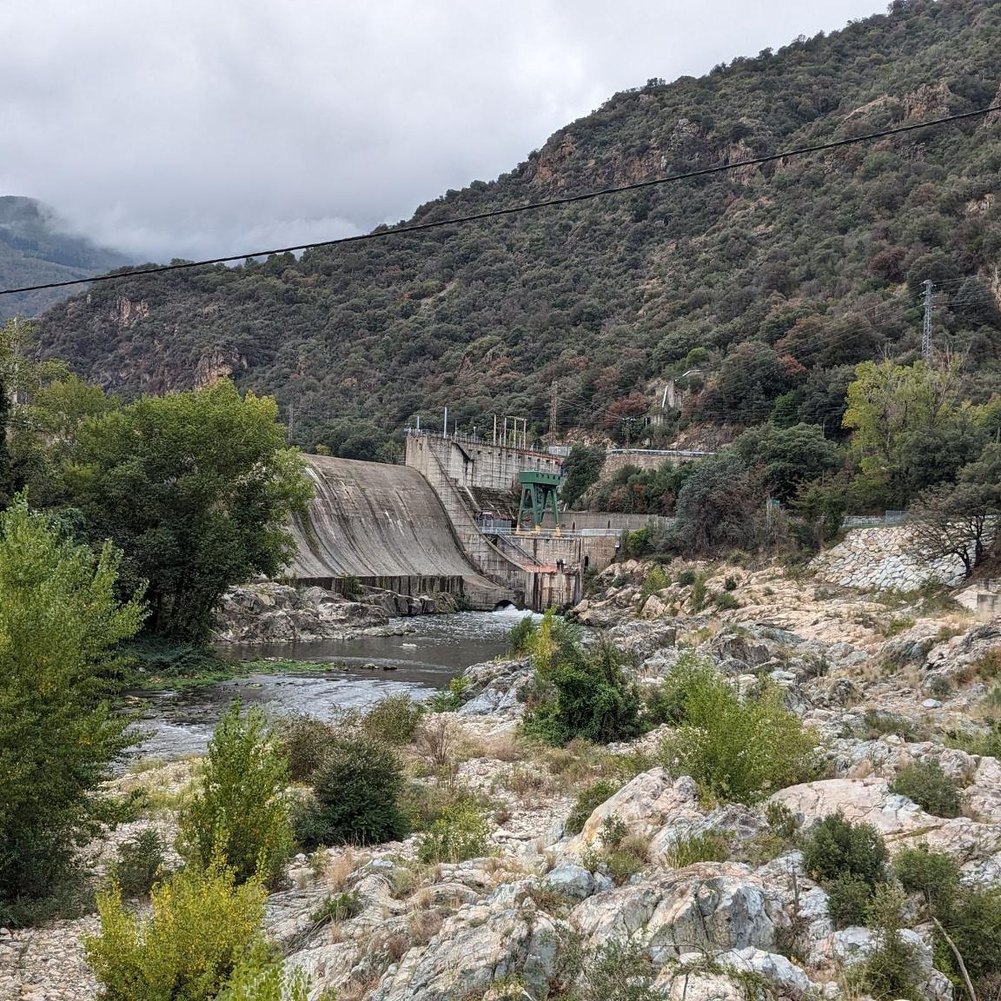
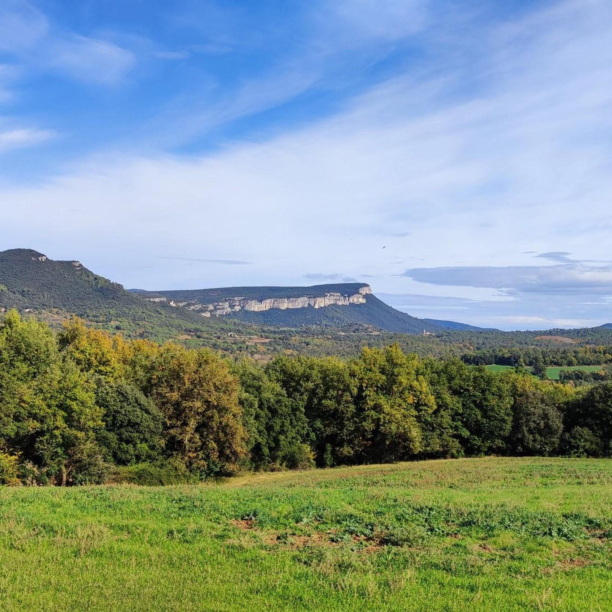
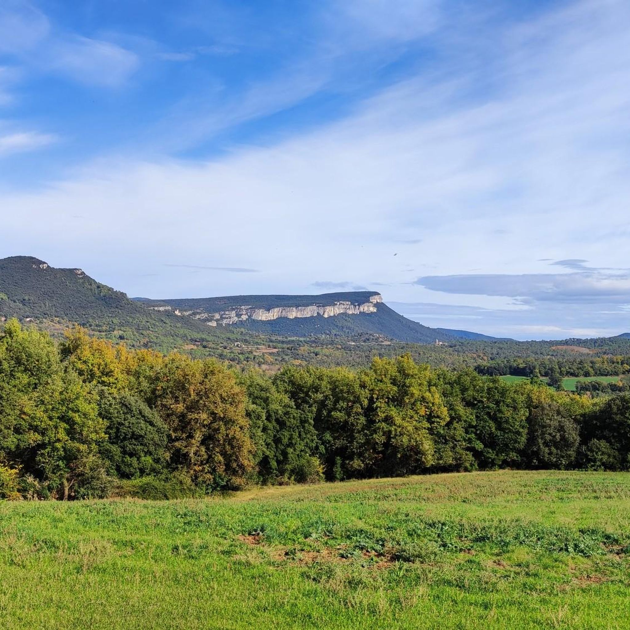
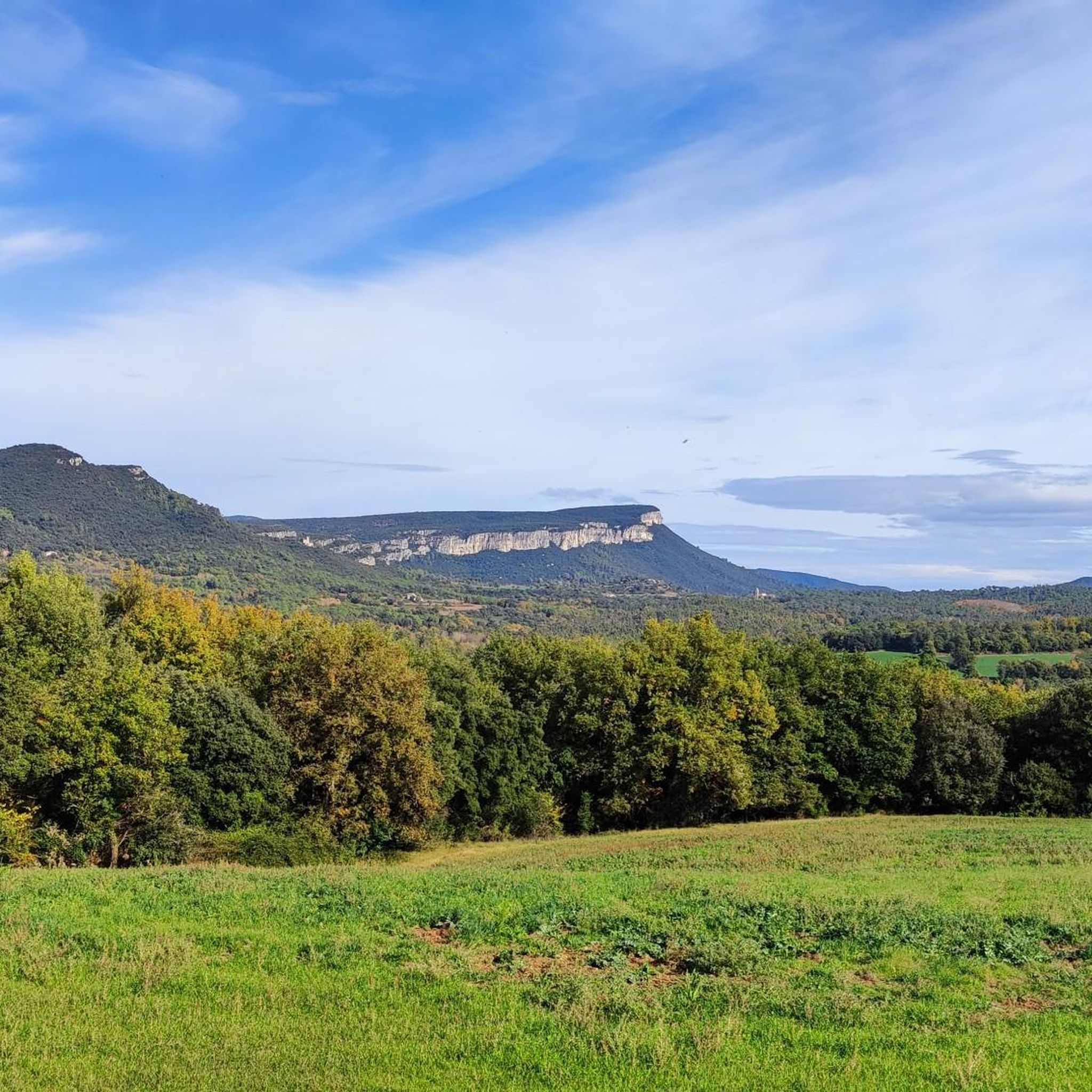
Tips from the Community

Unfortunately, it is really only this short section that is beautiful. Most of the via verde runs on roads, not separate from cars.
0
0

The carrilet is idyllic to ride. Towards Olot it slopes upwards and then, when you return, you will be grateful for it.
0
0

surprising and cool 👍
0
0


Lovely first part of the Ruta del Carrilet. Leaving Olot over a rather straight path with a nice view to the mountains. High quality gravel 👌🏼
0
0
A fabulous part of the Ruta del Carrilet. A lot of bridges and a lot of nice passages between the rocks.
0
0
Frequently Asked Questions
How many gravel bike trails are available in Amer?
Amer offers a wide selection of gravel biking routes, with over 40 trails to explore. These routes cater to various skill levels, from scenic river paths to more challenging climbs through volcanic terrain.
Are there any easy or beginner-friendly gravel bike trails in Amer?
Yes, Amer provides options for different skill levels. While many routes include challenging sections, you can find smoother paths along river valleys and converted railway lines like the Ruta del Carrilet. These greenways offer a more accessible experience for beginners or those looking for a less strenuous ride.
What is the typical length and duration of gravel bike routes in Amer?
The gravel bike routes around Amer vary significantly in length and duration. For example, the Ermita de Sant Romà – Crosa Volcano loop is about 36.5 miles (58.7 km) and takes nearly 5 hours, while the Col de Bas – Ruta del Carrilet Greenway loop extends to 53.5 miles (86.1 km), requiring a longer commitment.
Are there any circular gravel bike routes in Amer?
Many of the gravel bike trails in Amer are designed as loops, allowing you to start and finish in the same location. Examples include the Riu Ter Greenway – Girona Greenway loop from La Cellera de Ter, which offers a scenic circular journey through river valleys.
What kind of terrain can I expect on gravel bike trails in Amer?
The terrain in Amer is diverse, featuring a mix of river valleys, ancient greenways, and volcanic landscapes. You'll encounter smoother sections on converted railway lines, alongside more demanding climbs towards cols and volcanic formations like the Crosa Volcano. Expect a blend of rolling paths and forested areas.
What do other gravel bikers enjoy most about Amer?
The komoot community highly rates gravel biking in Amer, with an average score of 4.6 stars from over 60 reviews. Riders often praise the varied topography, which offers a good mix of challenging climbs and scenic, smoother greenway sections, as well as the beautiful natural surroundings.
Are there any waterfalls or gorges to see along the gravel bike routes?
Yes, the region around Amer is known for its natural water features. You can find highlights such as the Molí dels Murris Pool and La Plana Pool, which are waterfalls, and the impressive Pools of the Osor stream and Gorges of the Font de la Torre.
Can I access gravel bike trails in Amer using public transport?
While specific public transport links to every trailhead are not detailed, towns like Amer and La Cellera de Ter, which serve as starting points for many routes, are generally accessible by regional bus services. It's advisable to check local transport schedules for connections to your chosen starting point.
Are there any historical sites or castles to explore near the trails?
Absolutely. The Amer region is rich in history. You can find several historical sites and castles, including Brunyola Castle, the Sant Grau Hermitage, and the Sant Salvador de Puigalder historical site. Many of these are located within cycling distance of the main routes.
What are some challenging gravel bike trails in Amer?
For experienced riders seeking a challenge, routes like the Col de Bas – Olot loop from Les Planes d'Hostoles offer significant elevation gains and technical sections. The Sant Martí Sacalm – Ruta del Carrilet Greenway loop also presents a demanding ride with substantial climbing.
Is parking available near the gravel bike trails in Amer?
While specific parking facilities are not listed for every trailhead, towns like Amer, La Cellera de Ter, and Les Planes d'Hostoles typically offer public parking options where you can leave your vehicle before starting your ride.
Most popular attractions around Amer

Get inspired with the komoot mobile app


Explore more
Browse the best Gravel rides in other regions.
