The best gravel rides around Seira
5.0
(2)
42
riders
7
rides
Gravel biking around Seira offers diverse and rugged landscapes, characterized by a blend of mountain passes and river canyons. The region features extensive unpaved surfaces, including dirt and gravel roads, making it suitable for gravel cycling. Riders can expect challenging climbs and descents through varied topography. This area provides a network of routes that traverse forests and offer views of geological diversity.
Best gravel bike trails around Seira
- The most popular gravel bike trail is Linsoles Reservoir – Linsoles Reservoir…
Last updated: July 2, 2026
13
riders
52.9km
04:20
1,450m
1,450m
Hard gravel ride. Very good fitness required. Mostly paved surfaces. Suitable for all skill levels.
5.0
(1)
10
riders
27.2km
02:13
890m
890m
Hard gravel ride. Very good fitness required. Mostly paved surfaces. Suitable for all skill levels.

Sign up for free
5
riders
29.9km
02:58
980m
980m
Hard gravel ride. Very good fitness required. Mostly paved surfaces. Suitable for all skill levels.
3
riders
91.2km
08:31
2,710m
2,710m
Hard gravel ride. Very good fitness required. Mostly paved surfaces. Suitable for all skill levels.
5.0
(1)
4
riders
32.7km
03:27
1,230m
1,230m
Hard gravel ride. Very good fitness required. Mostly paved surfaces. Suitable for all skill levels.
Get access to more routes and recommendations from other explorers.
Sign up for free
Already have an account?
Our route recommendations are based on thousands of hikes, rides, and runs completed by other people on komoot.
Start today with a free account
Your next adventure awaits.
Login or Signup
Other adventures around Seira

Tips from the Community

An oasis of civilization high in the mountains
0
0
A legendary mountain pass in the Pyrenees. A crossing point between the Chistau and Benasque valleys, linking Sobrarbe and Ribagorza at an altitude of 2000m.
0
0

Here you can still fill your water bottles
0
0

A true "refuge" for sight and taste. That cool drink watching the Lost Mountain is priceless
0
0

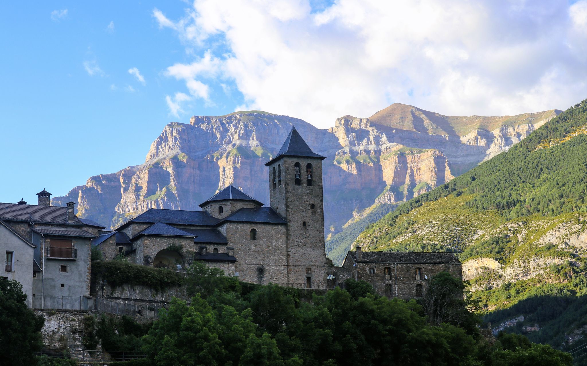
Although perhaps the most notable is its Romanesque parish church, expanded in the 16th century, the entire town is worth a walk through its steep streets flanked by houses with thick stone walls and slate roofs.
0
0

Access is via forest tracks in good condition. Obviously, to reach 2000m it takes a little time but the reward is worth it: the views are magnificent over the valleys and peaks at 360 degrees. A delight !
1
0
4x4 track in very good condition. The climb is long and fairly regular. The views change as you progress and motivate you to continue to the pass which offers a magnificent spectacle.
0
0

Castejón de Sos is a fairly large Ribagorza municipality, compared to the small population centers that exist in the surroundings. It has hotels, supermarkets, restaurants and a pharmacy. It is very close to the Ventamillo Gorge, an imposing canyon crossed by the Ésera River.
1
0
Frequently Asked Questions
How many gravel bike trails are available around Seira?
There are currently 5 gravel bike trails available around Seira. These routes are generally characterized by challenging climbs and descents through varied mountainous terrain.
What is the typical difficulty level of gravel bike trails in Seira?
All the gravel bike routes listed in Seira are rated as difficult. They feature significant elevation gains and cover diverse landscapes, including mountain passes and river canyons, making them suitable for experienced gravel bikers.
What do other gravel bikers say about the trails in Seira?
The gravel biking routes in Seira are highly rated by the komoot community, with an average score of 5.0 stars from over 2 reviews. More than 40 gravel bikers have used komoot to explore the region's varied and challenging terrain.
Are there any beginner-friendly gravel bike trails in Seira?
Currently, all the gravel bike routes listed for Seira are rated as difficult, featuring substantial elevation changes and rugged terrain. There are no routes specifically categorized as easy or moderate in this selection, suggesting the area is better suited for experienced riders.
Are there any long gravel bike routes near Seira?
Yes, Seira offers several longer gravel bike routes. For example, the Linsoles Reservoir – Linsoles Reservoir loop from Eriste is 32.8 miles (52.8 km) long, and the Castejón de Sos – Coll de Fadas loop from Castejón de Sos covers 25.4 miles (40.8 km).
Are there gravel bike loop trails in Seira?
Yes, many of the gravel bike routes in Seira are designed as loops. Examples include the Linsoles Reservoir – Linsoles Reservoir loop from Eriste, the Best views of the Benasque Valley – Collado de Sahún loop from Chía, and the Chistau Valley – View of Plan loop from San Juan de Plan.
What natural features or landmarks can I expect to see along gravel bike trails in Seira?
The region offers a blend of mountain passes, river canyons, and forested sections. You can encounter notable natural features such as the Collado de Sahún, Coll de Fadas, and the stunning Espigantosa Waterfall. There are also beautiful alpine lakes like Ibón of Plan (Basa de la Mora) and Ibón del Sen.
Are there routes with good viewpoints in Seira?
Absolutely. The region's diverse topography, where the Sierra Nevada meets the Cascade mountains, provides numerous scenic viewpoints. A prime example is the Best views of the Benasque Valley – Collado de Sahún loop from Chía, which offers panoramic vistas of the Benasque Valley and includes the Collado de Sahún mountain pass.
What is the best season for gravel biking in Seira?
Given the region's high elevations and mountainous terrain, the best season for gravel biking in Seira is typically from late spring through early autumn. This avoids winter conditions, which can bring snow and ice to higher passes, and ensures more favorable weather for challenging rides.
Are there places to resupply or find cafes along the gravel bike trails in Seira?
The region features historic gold rush-era towns strategically located along routes. These towns often serve as essential resupply points, offering restaurants and grocery stores. While specific cafes aren't listed for every route, these towns provide opportunities for breaks and provisions.
Can I find routes that pass through the Chistau Valley?
Yes, the Chistau Valley – View of Plan loop from San Juan de Plan is a 20.0-mile (32.2 km) gravel bike trail that leads directly through the scenic Chistau Valley, offering a great way to experience this area.
Are there any routes that include the Coll de Fadas?
Yes, the Castejón de Sos – Coll de Fadas loop from Castejón de Sos is a challenging 25.4-mile (40.8 km) route that incorporates the Coll de Fadas, providing a significant climb and rewarding views.
Most popular attractions around Seira

Get inspired with the komoot mobile app


Explore more
Browse the best Gravel rides in other regions.
