The best gravel rides around Nogueira De Ramuín
3.0
(1)
47
riders
18
rides
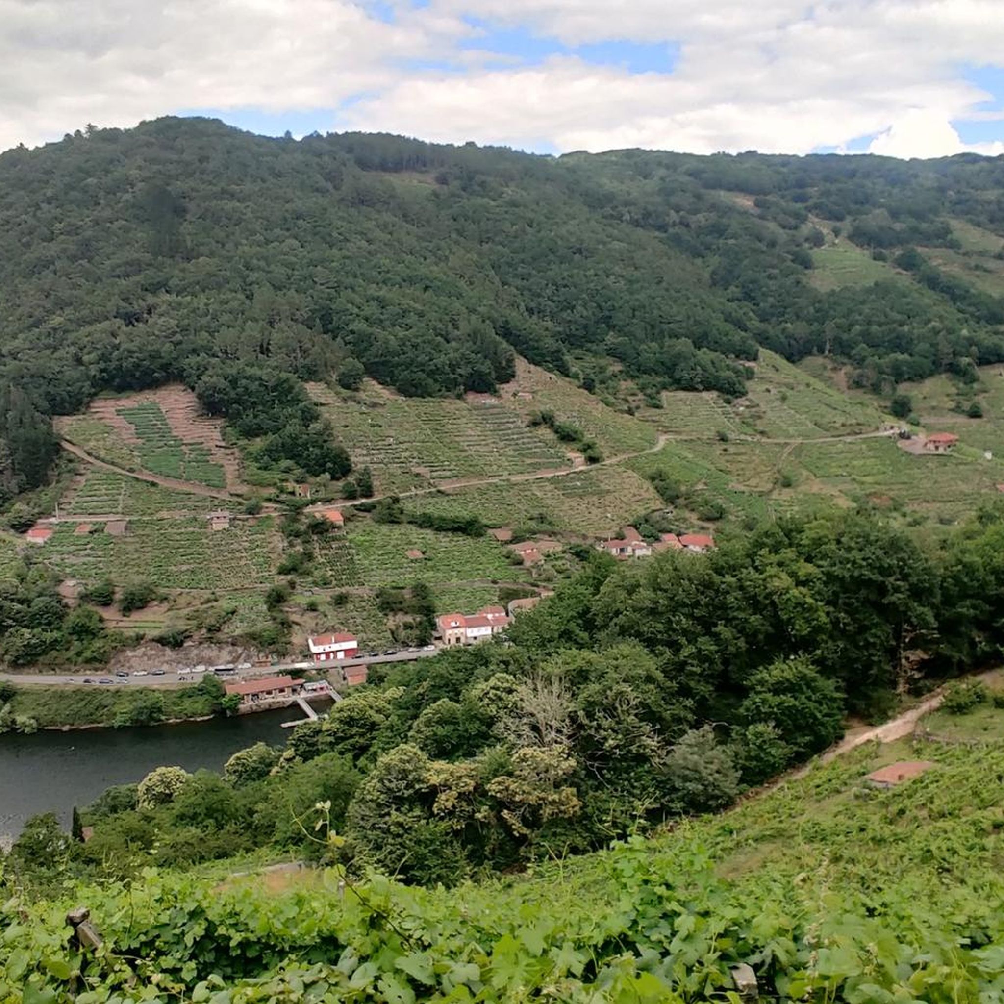
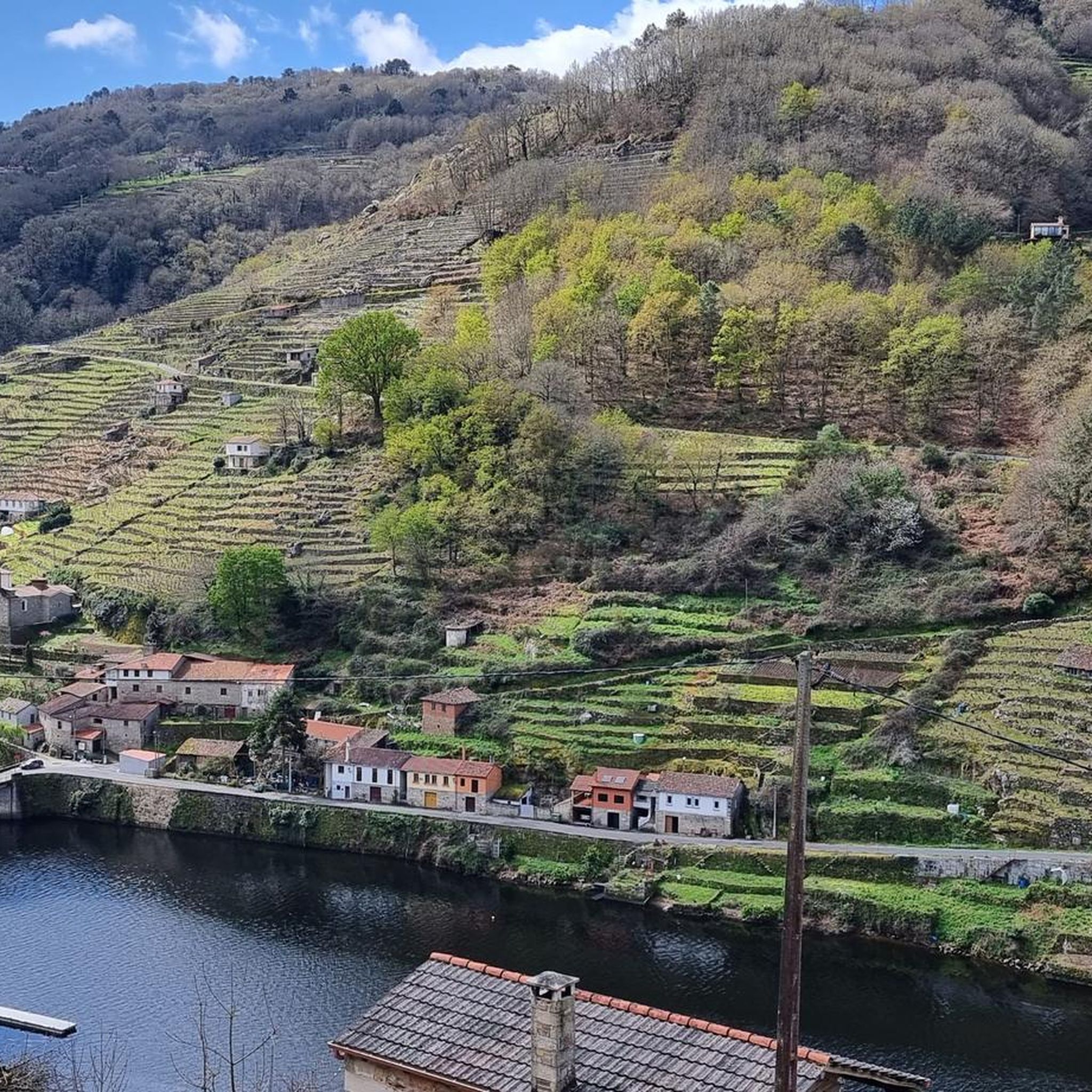
Gravel biking around Nogueira De Ramuín offers challenging routes through a landscape characterized by river valleys, reservoirs, and historical points of interest around Ourense. The terrain often features significant elevation changes, indicative of the region's hilly topography. Riders can expect a mix of surfaces, from paved sections to unpaved tracks, suitable for experienced gravel cyclists. The area provides a robust network of trails for those seeking demanding rides.
Best gravel bike trails around Nogueira De Ramuín
- The most popular gravel…
Last updated: October 5, 2026
107km
09:27
1,720m
1,720m
Hard gravel ride. Very good fitness required. Mostly paved surfaces. Suitable for all skill levels.
3.0
(1)
6
riders
Hard gravel ride. Very good fitness required. Mostly paved surfaces. Suitable for all skill levels.

7
riders
Hard gravel ride. Very good fitness required. Mostly paved surfaces. Suitable for all skill levels.
4
riders
49.5km
03:53
810m
810m
Hard gravel ride. Very good fitness required. Mostly paved surfaces. Suitable for all skill levels.
2
riders
21.8km
01:44
420m
420m
Moderate gravel ride. Good fitness required. Mostly paved surfaces. Suitable for all skill levels.
Get access to more routes and recommendations from other explorers.
Already have an account?
Our route recommendations are based on thousands of hikes, rides, and runs completed by other people on komoot.
Start today with a free account
Your next adventure awaits.
Tips from the Community

Ourense's Plaza Mayor is one of the most emblematic spaces in the historic center: It's a porticoed square with a slight incline, making it unique in Galicia. The slope is used to create a very photogenic perspective. Since the Middle Ages, it has been the city's administrative and social center. Markets, public events, and neighborhood meetings were held here. Notable buildings: City Hall: a 19th-century neoclassical building with an elegant façade and balconies. Palaces and noble houses: several properties with heraldic shields and typical Galician galleries.
2
0
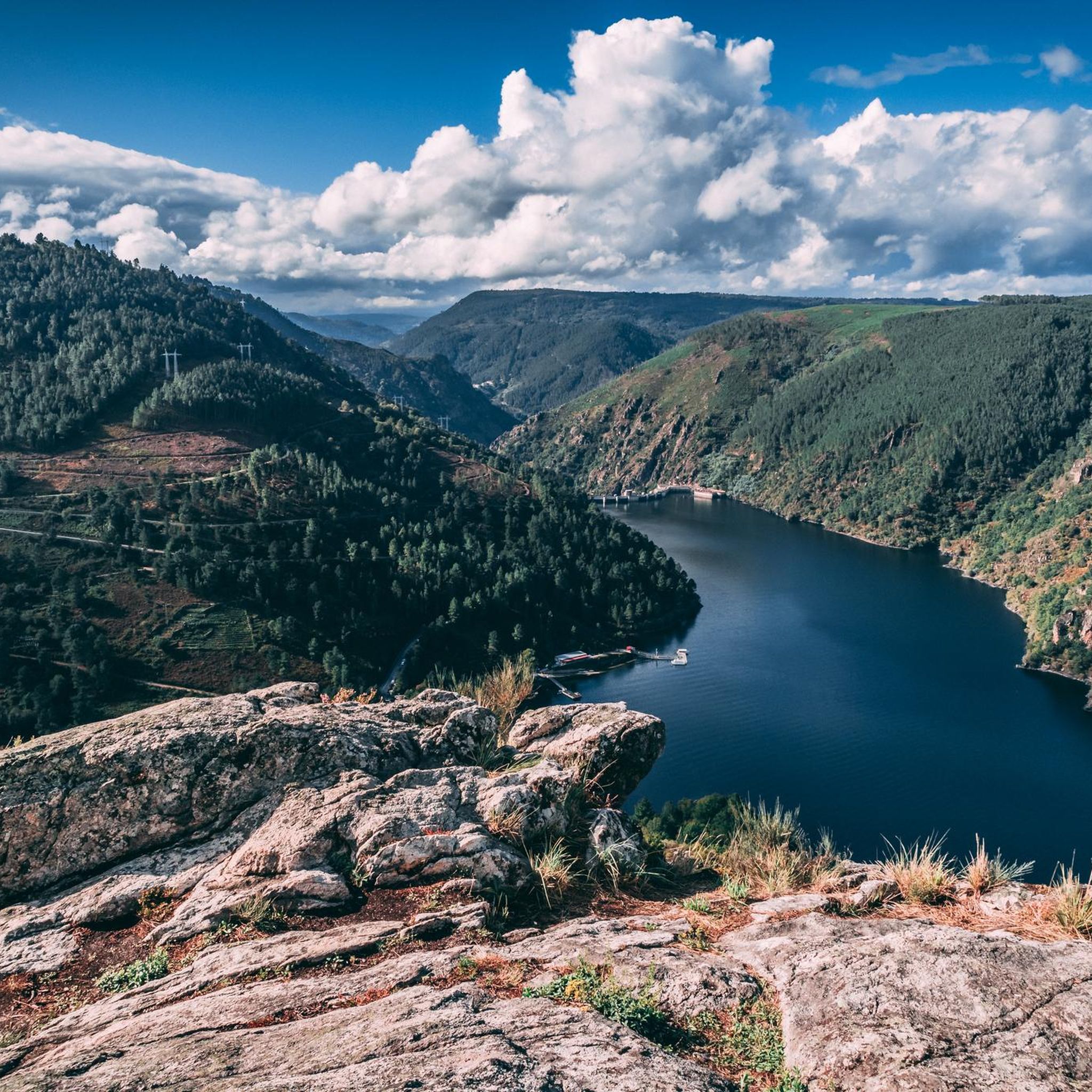
Location: in the municipality of Pereiro de Aguiar (Ourense), on the Loña River, a tributary of the Miño. Uses: water supply, irrigation, hydroelectric power generation, fishing; it is not navigable or suitable for swimming. Circular walk: approximately 4 km (3.7 km to be exact), easy difficulty, ideal for families and dogs—although they must be kept on a leash—offering shade, rest areas, and beautiful views.
1
0
Location: in the municipality of Pereiro de Aguiar (Ourense), on the Loña River, a tributary of the Miño. Uses: water supply, irrigation, hydroelectric power generation, fishing; it is not navigable or suitable for swimming. Circular walk: approximately 4 km (3.7 km to be exact), easy difficulty, ideal for families and dogs—although they must be kept on a leash—offering shade, rest areas, and beautiful views.
1
0
Located on the banks of the Miño River, in the Outariz area, west of Ourense, right on the city's "Thermal Promenade." Parking: The Outariz/Reza parking lot (on the opposite bank) is available, as the Muiño da Veiga parking lot is closed for renovations. Public transport: City bus line 5; the unique Thermal Train, which stops at the facility.
1
0
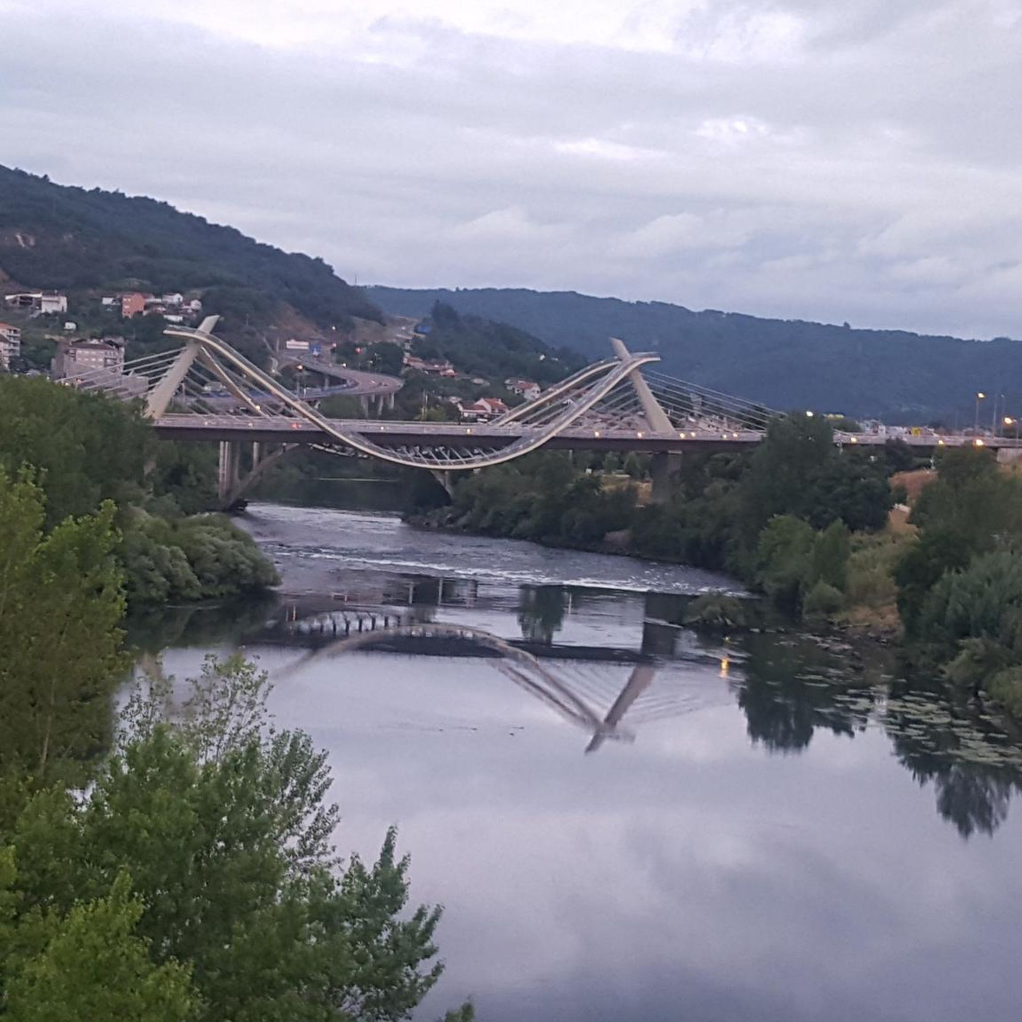
It spans the Miño River, linking the historic center of Ourense with the A Ponte neighborhood. It was built in the 1st century AD as a branch of the Via Nova (Via XVIII), connecting Bracara Augusta (Braga) with Asturica Augusta (Astorga). Only traces of the original Roman phase remain, such as rusticated stonework at the ends near the banks. It suffered damage during the Middle Ages; in 1228, under Bishop Lorenzo and with the support of Ferdinand III, it was rebuilt with pointed arches and renovated approaches. Until the 17th century, the bridge repeatedly collapsed. The final work was directed by Melchor de Velasco Agüero around 1660, establishing its current appearance.
1
0
The Roman bridge in Ourense, known as Ponte Vella or Puente Mayor, over the Miño River, was built in the 1st century AD as part of a branch of the Via Nova (Eighteenth Century). According to tradition, it dates back to the time of Trajan, although its construction characteristics place it close to the time of Augustus. Of that first bridge, only a few cushioned ashlars from the bases remain, as silent witnesses of the past.
1
0


Frequently Asked Questions
How many gravel bike trails are available in Nogueira De Ramuín?
There are 13 challenging gravel bike routes in the Nogueira De Ramuín area, all designed for experienced riders due to significant elevation changes and varied terrain.
What is the typical difficulty level for gravel biking in Nogueira De Ramuín?
All gravel bike routes in Nogueira De Ramuín are rated as difficult. They feature significant elevation changes and a mix of surfaces, making them best suited for experienced gravel cyclists.
Are there any family-friendly or beginner gravel bike routes in Nogueira De Ramuín?
No, the gravel bike routes around Nogueira De Ramuín are generally considered difficult, with no easy or moderate options available. They are best suited for experienced riders comfortable with challenging terrain and significant climbs.
What kind of terrain can I expect on gravel bike trails around Nogueira De Ramuín?
You can expect a diverse landscape characterized by river valleys, reservoirs, and historical points. The terrain often features significant elevation changes and a mix of paved and unpaved tracks, indicative of the region's hilly topography.
Are there any long-distance gravel bike routes in the Nogueira De Ramuín area?
Yes, for those seeking longer rides, the Roman Bridge of Ourense – Cachamuíña Reservoir loop from Rabaza de Abaixo covers 119.4 km, and the Circular gravel through Ourense and Castrelo do Miño is 106.7 km, both offering extensive exploration.
What historical landmarks or points of interest can I see along the gravel bike trails?
Many routes pass by significant historical sites. You can explore landmarks such as the Ponte Vella (Roman Bridge of Ourense), the Main Square of Ourense, and the As Burgas Roman Baths. The Roman Bridge Ourense – Roman Bridge of Ourense loop from Ourense-San Francisco specifically highlights these historical elements.
Are there any routes that feature waterfalls or scenic viewpoints?
Yes, the As Burgas Hot Springs – A Boutureira Waterfall loop from Ourense-San Francisco includes a waterfall. Additionally, the region is known for its stunning vistas, with viewpoints like Cividade Viewpoint and Balcones de Madrid Viewpoint offering panoramic views of the gorges and river valleys.
What is the best time of year to go gravel biking in Nogueira De Ramuín?
While specific conditions vary, the region's climate generally makes spring and autumn ideal for gravel biking, offering milder temperatures and pleasant scenery. Summer can be hot, and winter might bring challenging conditions, especially at higher elevations.
Are there any circular gravel bike routes available?
Yes, many routes in the area are circular. For example, the Circular gravel through Ourense and Castrelo do Miño is a popular circular option, as is the Main Square of Ourense – Outariz Hot Springs loop from Ourense-Empalme.
What do other gravel bikers enjoy most about gravel biking in Nogueira De Ramuín?
Gravel bikers frequently praise the region for its challenging routes, significant elevation gains, and the opportunity to explore diverse landscapes including river valleys, reservoirs, and historical sites. The network of trails provides demanding rides for experienced cyclists.
Where can I find parking for gravel bike trails in Nogueira De Ramuín?
Many routes start from or pass through towns like Ourense, where public parking facilities are available. For routes starting from more rural areas, it's advisable to check the specific tour details on komoot for suggested starting points and potential parking options.
Are there any cafes or places to refuel near the gravel bike trails?
Given that many routes pass through or near Ourense and other smaller settlements, you will find opportunities for cafes and places to refuel. It's recommended to plan your stops in advance, especially on longer routes that venture into more remote areas.
Most popular routes around Nogueira De Ramuín
Most popular attractions around Nogueira De Ramuín

Get inspired with the komoot mobile app


Explore more
Browse the best Gravel rides in other regions.
