The best gravel rides around Obejo
5.0
(1)
64
riders
8
rides
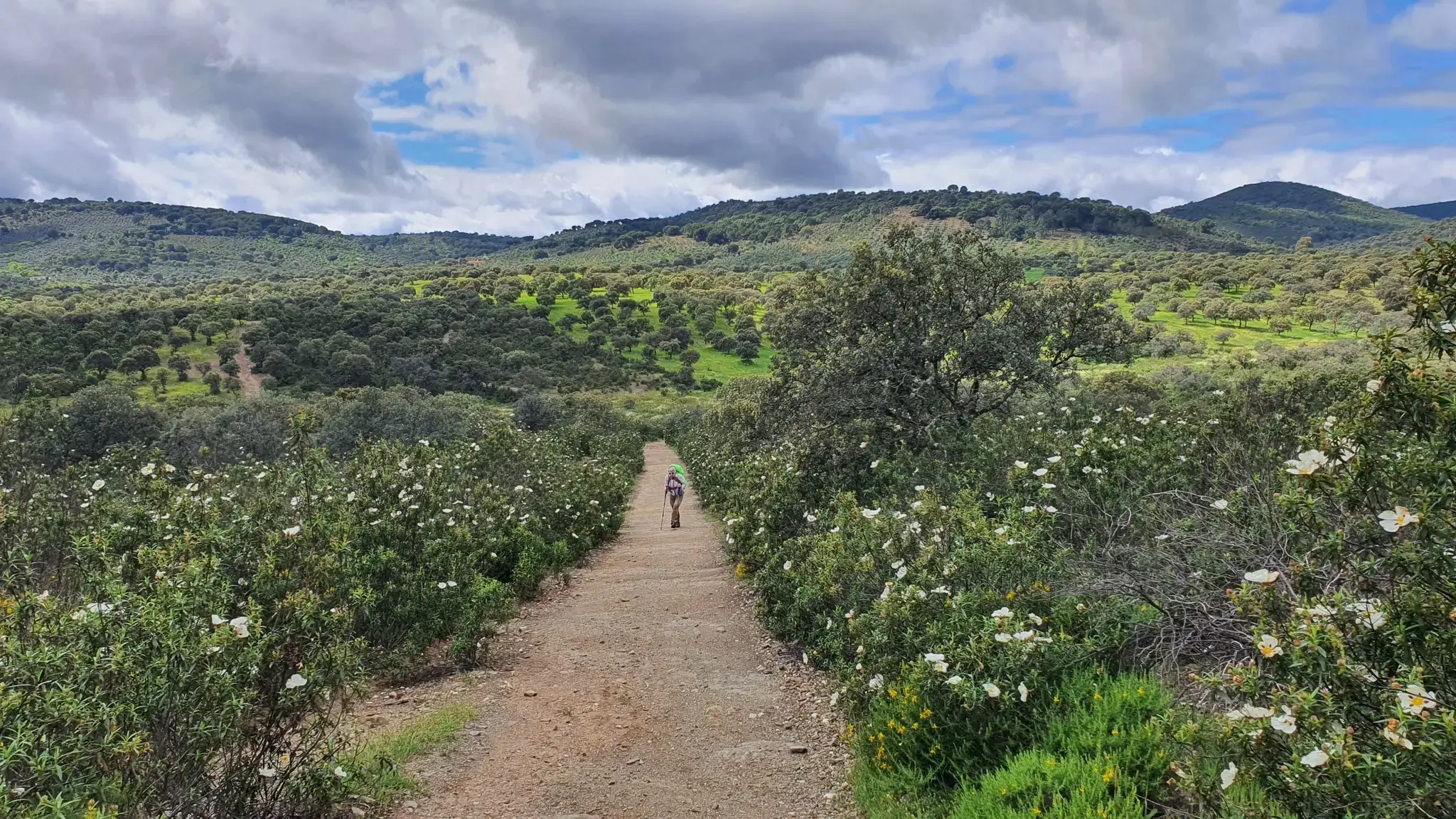
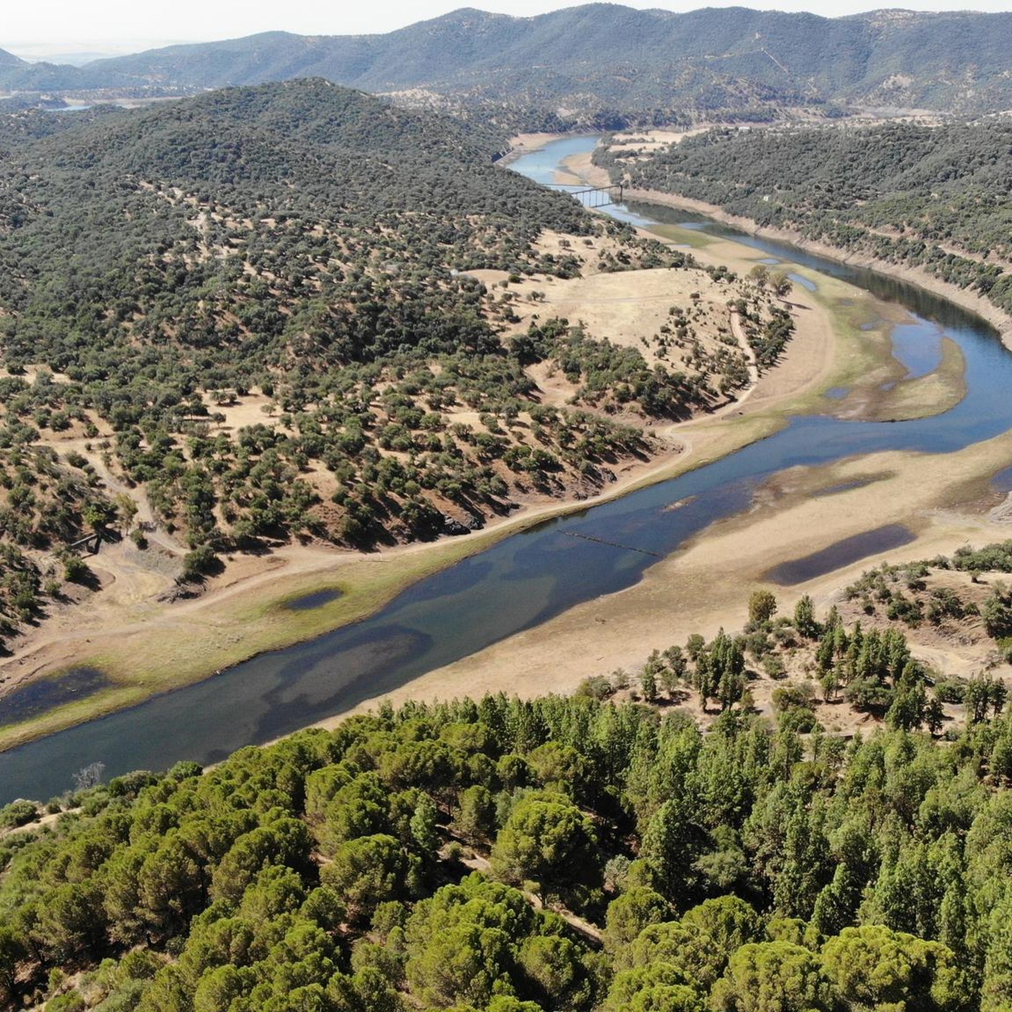
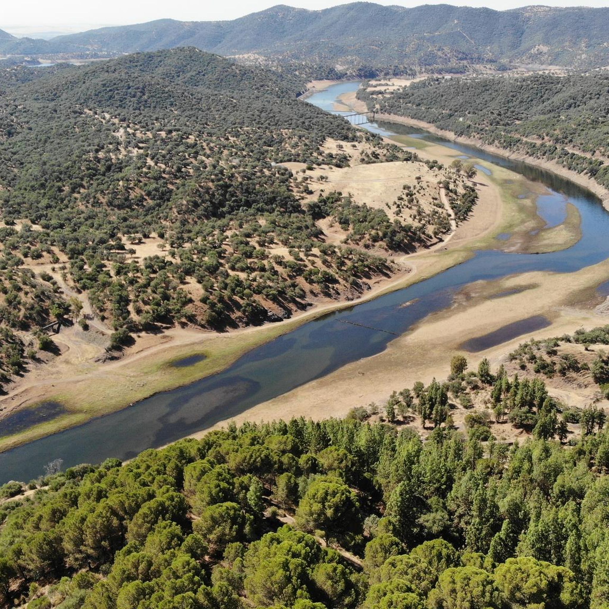
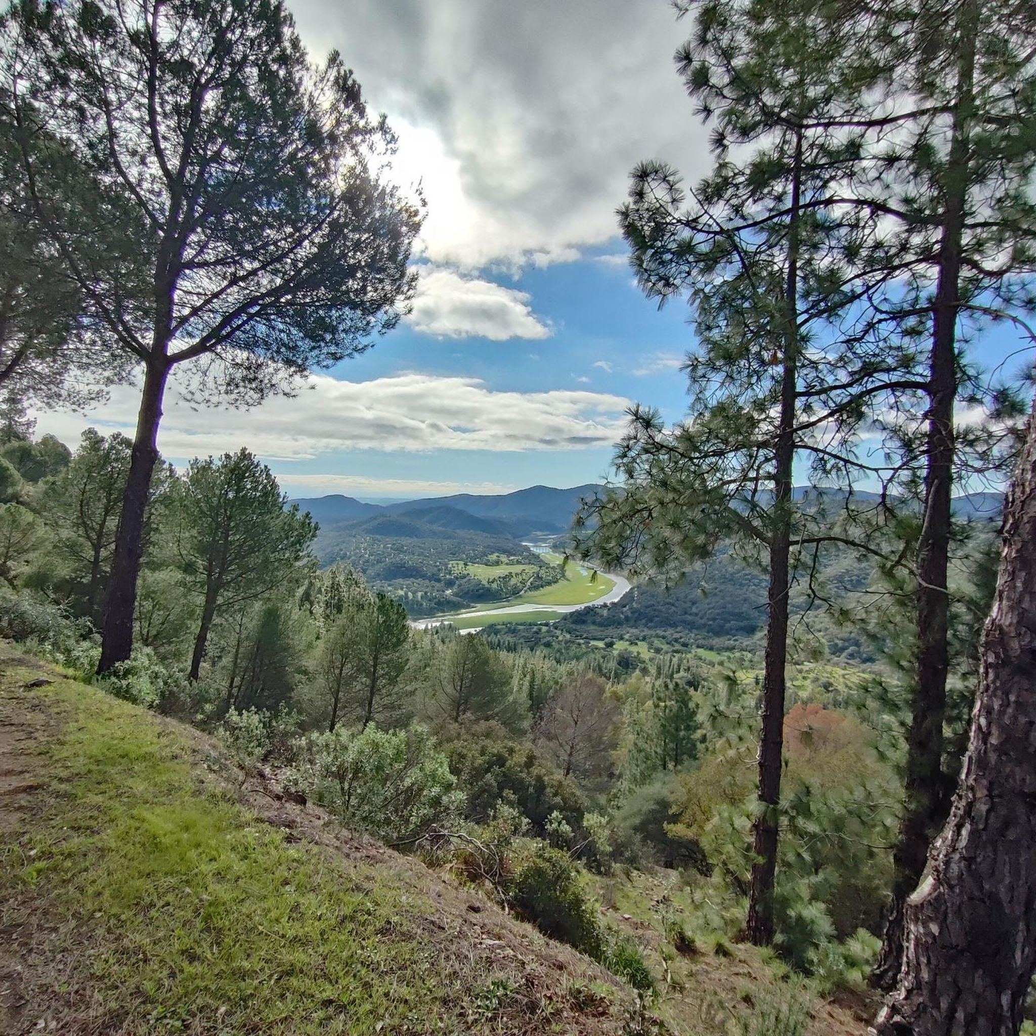
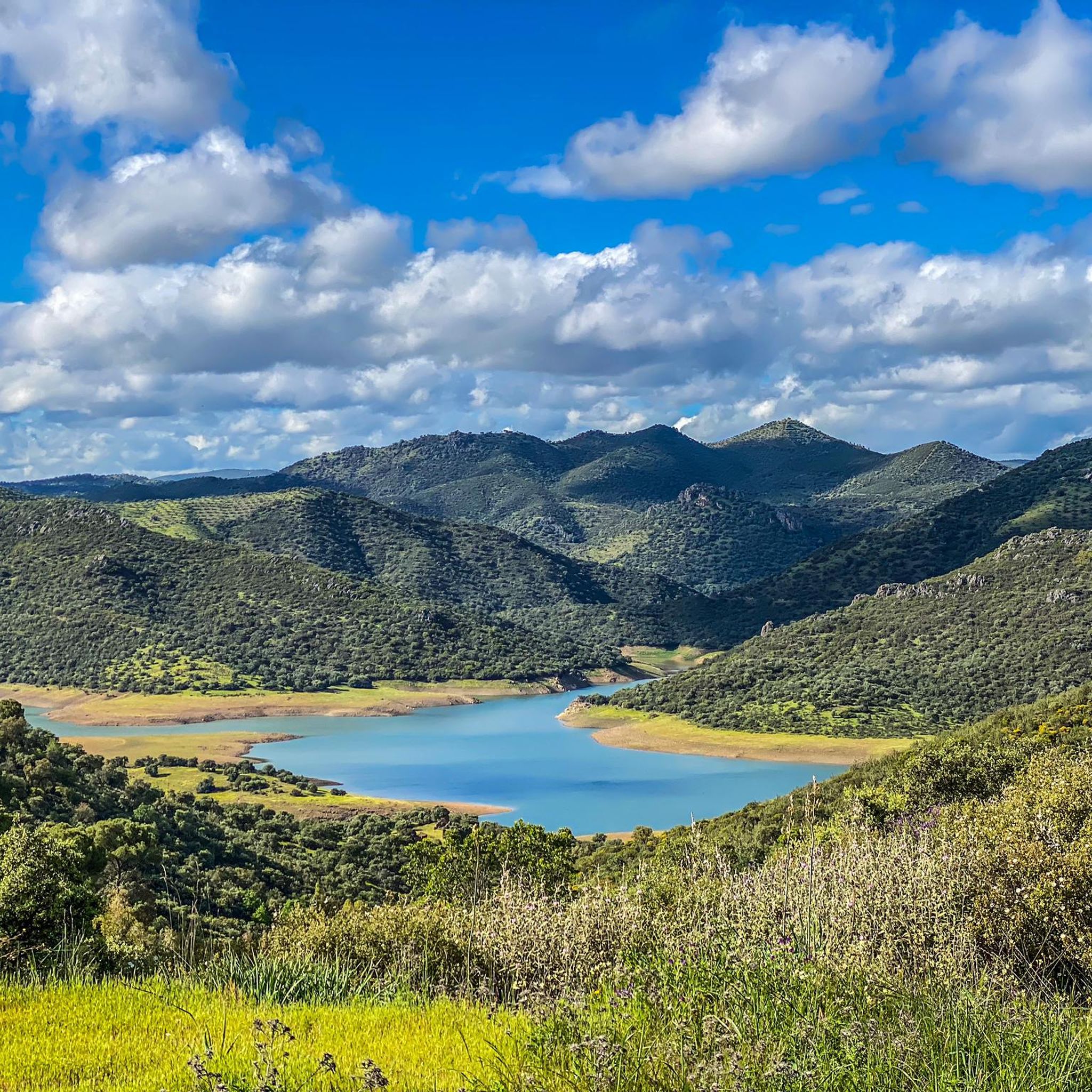
Gravel biking around Obejo features a diverse landscape characterized by rolling hills, river valleys, and open countryside. The region's terrain includes a mix of unpaved paths, forest trails, and rural tracks, offering varied surfaces for gravel cyclists. Significant elevation changes are present on many routes, indicating a challenging and engaging environment for riding. Water features like the Canal de Guadalmellato and Blue Lake are prominent, influencing the local topography.
Best gravel bike trails around Obejo
- The most popular gravel bike…
Last updated: May 11, 2026
5.0
(1)
22
riders
61.8km
04:28
880m
880m
Hard gravel ride. Very good fitness required. Mostly paved surfaces. Suitable for all skill levels.
13
riders
98.3km
06:58
1,740m
1,740m
Hard gravel ride. Very good fitness required. Mostly paved surfaces. Suitable for all skill levels.

Sign up for free
10
riders
50.6km
03:38
790m
790m
Hard gravel ride. Very good fitness required. Mostly paved surfaces. Suitable for all skill levels.
6
riders
29.0km
02:06
110m
110m
Moderate gravel ride. Good fitness required. Mostly paved surfaces. Suitable for all skill levels.
5
riders
94.8km
07:48
1,690m
1,690m
Hard gravel ride. Very good fitness required. Mostly paved surfaces. Suitable for all skill levels.
Get access to more routes and recommendations from other explorers.
Sign up for free
Already have an account?
Our route recommendations are based on thousands of hikes, rides, and runs completed by other people on komoot.
Start today with a free account
Your next adventure awaits.
Login or Signup


Tips from the Community


Connection with the Campiñuela and the route that leads to Rabanales and the Alcaidia path
0
0

One of the most legendary climbs in the Sierra de Córdoba, well-known for both hiking and mountain biking. It's a tough, consistent climb, very popular with local cyclists and races like the Andalucía Bike Race and the Guzmán el Bueno (the latter often runs it in the opposite direction). The Cuesta del Reventón ascends towards the Ermitas de Córdoba, a classic panoramic viewpoint. It's a wide, rocky path with a steep incline, frequently used by cyclists and hikers. Approximate length: between 2.7 km (classic route) and 4.7 km depending on the mountain bike variant. Elevation gain: between 155 m and 486 m, depending on the route.
3
0
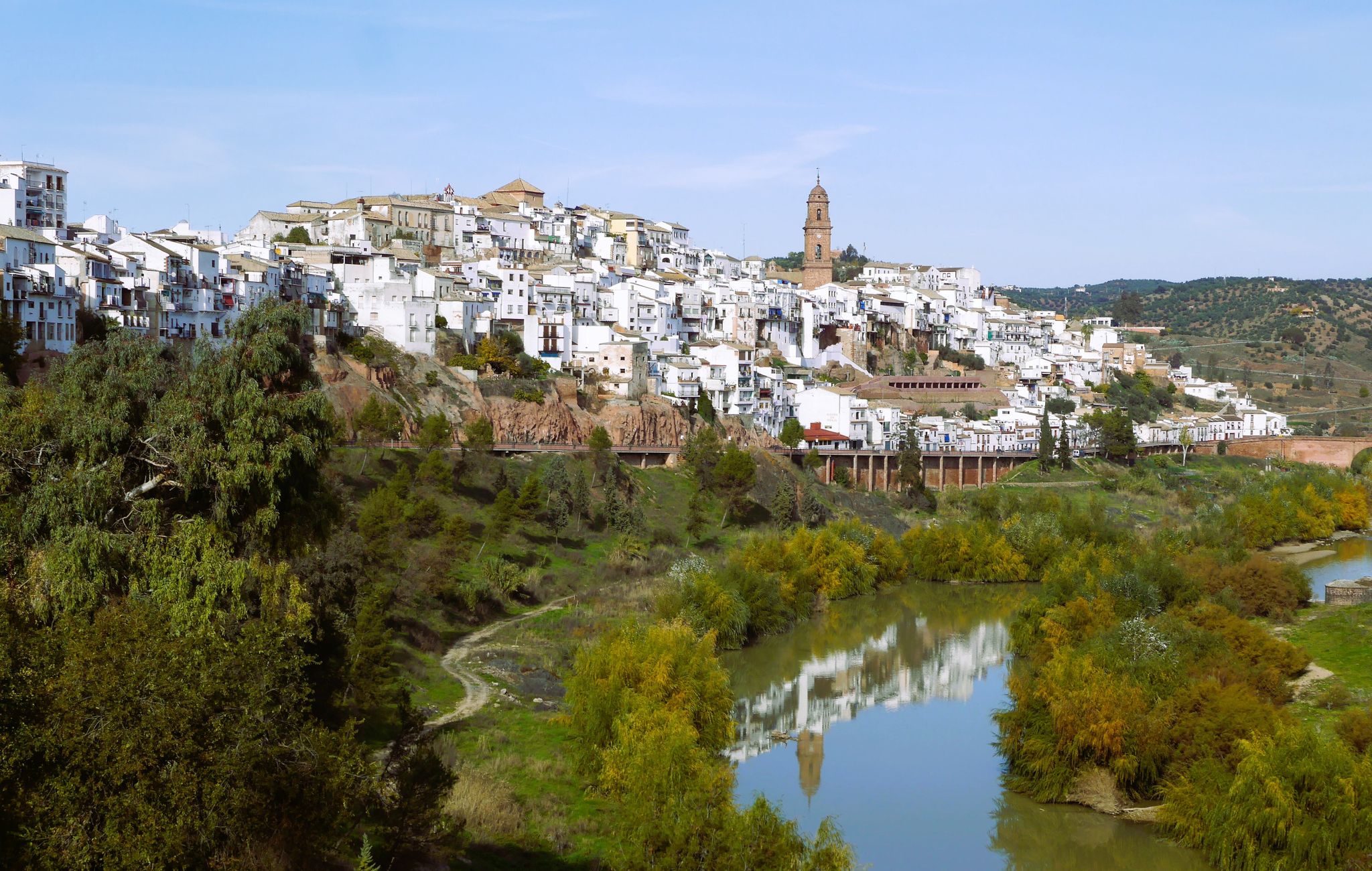
The Puente Mocho Bridge is located in Alcolea, within the municipality of Córdoba, and crosses the Guadalmellato River near its mouth in the Guadalquivir. It is a Roman bridge that was part of the Via Augusta, the great road that connected Cádiz with the Pyrenees via Córdoba.
4
0


The Puente Mocho Bridge connects the CH-1 highway with the CO-3103 highway, which will take us to the town of Villafranca de Córdoba. This route is popular with cyclists, as its paved road is in good condition and the low traffic of motor vehicles makes it very safe. The route is winding with continuous ups and downs, making it a perfect area for training.
0
0

The name says it all 🤣🤣🤣🤣. I have passed through this point doing the Guzmán el Bueno race, between the difficult terrain and the distance and accumulated fatigue, climbing it is very complicated, in addition to having some technical sections
0
0

Beautiful stretch of road that is flat throughout and easy to ride, making it suitable for beginners and recreational cyclists. Avenida de la Libertad is a wide, modern street with a well-developed cycle path. It is lined with trees and offers a pleasant ride through an urban area. The Jardines Antonio José Delgado de Jesús are nearby and offer a green oasis. The cycle path leads past the well-kept green areas, which are perfect for a short break. Paseo de Córdoba is an elevated promenade with a cycle path that runs through the city. Here you can enjoy the impressive pools and modern gardens that this part of the city has to offer. The Paseo also offers a great view of the surrounding districts. You can do it once and if you still have the time and inclination, you can extend the route towards the old town or continue towards Jardines de la Agricultura.
3
0
Frequently Asked Questions
How many gravel bike trails are available around Obejo?
There are over 10 gravel bike trails in the Obejo area, offering a diverse range of experiences from moderate paths to challenging long-distance routes. The komoot community has explored more than 70 of these routes.
Are there gravel bike trails suitable for beginners in Obejo?
Yes, while many routes feature significant elevation changes, there are options for less experienced riders. For example, the Blue Lake – Canal de Guadalmellato Path loop from Alcolea de Córdoba is a moderate 18.0 miles (29.0 km) path offering scenic views around the Blue Lake and along the Canal de Guadalmellato without extreme difficulty.
What are some challenging gravel bike routes for experienced riders in Obejo?
Experienced gravel bikers will find plenty of challenging routes around Obejo. The region is known for significant elevation changes. A demanding option is the Piedra Horadada – Linares Trail loop from Rabanales, which covers 61.3 miles (98.6 km) with substantial climbs, often taking over 8 hours to complete.
Are there circular gravel bike routes available in Obejo?
Yes, all the featured gravel bike routes around Obejo are designed as loops, allowing you to start and finish at the same point. This includes popular options like the Canal de Guadalmellato Path – Vereda de la Alcaidía loop from Alcolea de Córdoba.
What kind of terrain can I expect on gravel bike trails in Obejo?
The terrain around Obejo is diverse, featuring rolling hills, river valleys, and open countryside. You'll encounter a mix of unpaved paths, forest trails, and rural tracks, providing varied surfaces for gravel cycling. Significant elevation changes are common, adding to the challenge and engagement of the rides.
What natural attractions can I see along the gravel bike trails in Obejo?
Many routes pass by beautiful natural features. You might encounter highlights such as the Malos Pasos Spring, the serene Guadanuño Reservoir, or the unique rock formation of Piedra Horadada. The Los Villares Periurban Park also offers forested sections.
Are there any mountain passes or viewpoints along the gravel routes?
Yes, the region includes several mountain passes that offer challenging climbs and potential viewpoints. Notable passes include Puerto de La Chimorra and "El Caballón" Road via Obejo, which can provide expansive views of the surrounding Sierra Morena landscape.
What is the best time of year for gravel biking in Obejo?
The best time for gravel biking in Obejo is typically during the spring (March to May) and autumn (September to November) when temperatures are milder and the landscape is lush. Summers can be very hot, and winters might bring cooler, wetter conditions, though routes are generally accessible year-round.
What do other gravel bikers enjoy the most about gravel biking in Obejo?
The area is highly rated by the komoot community, with an average score of 4.8 stars. Reviewers often praise the diverse landscape, the mix of unpaved paths and forest trails, and the engaging environment provided by the rolling hills and significant elevation changes.
Are there any routes that feature water bodies like lakes or canals?
Absolutely. Water features are prominent in the Obejo area. Routes like the Blue Lake – Canal de Guadalmellato Path loop from Alcolea de Córdoba offer scenic views around the Blue Lake and along the Canal de Guadalmellato, providing refreshing landscapes during your ride.
Is there a moderate-difficulty route that is not too long?
For a moderate ride that isn't excessively long, consider the Molino de la Albolafia – Guadalcabrillas Tower loop from Alcolea. This route is 45.7 miles (73.5 km) with manageable elevation, offering a good balance of challenge and accessibility for a day trip.
Most popular attractions around Obejo

Get inspired with the komoot mobile app


Explore more
Browse the best Gravel rides in other regions.
