The best gravel rides around Agullent
5.0
(4)
77
riders
17
rides
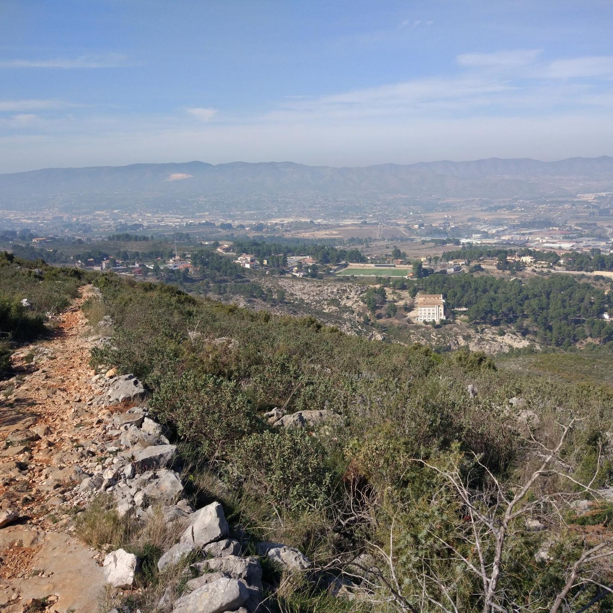
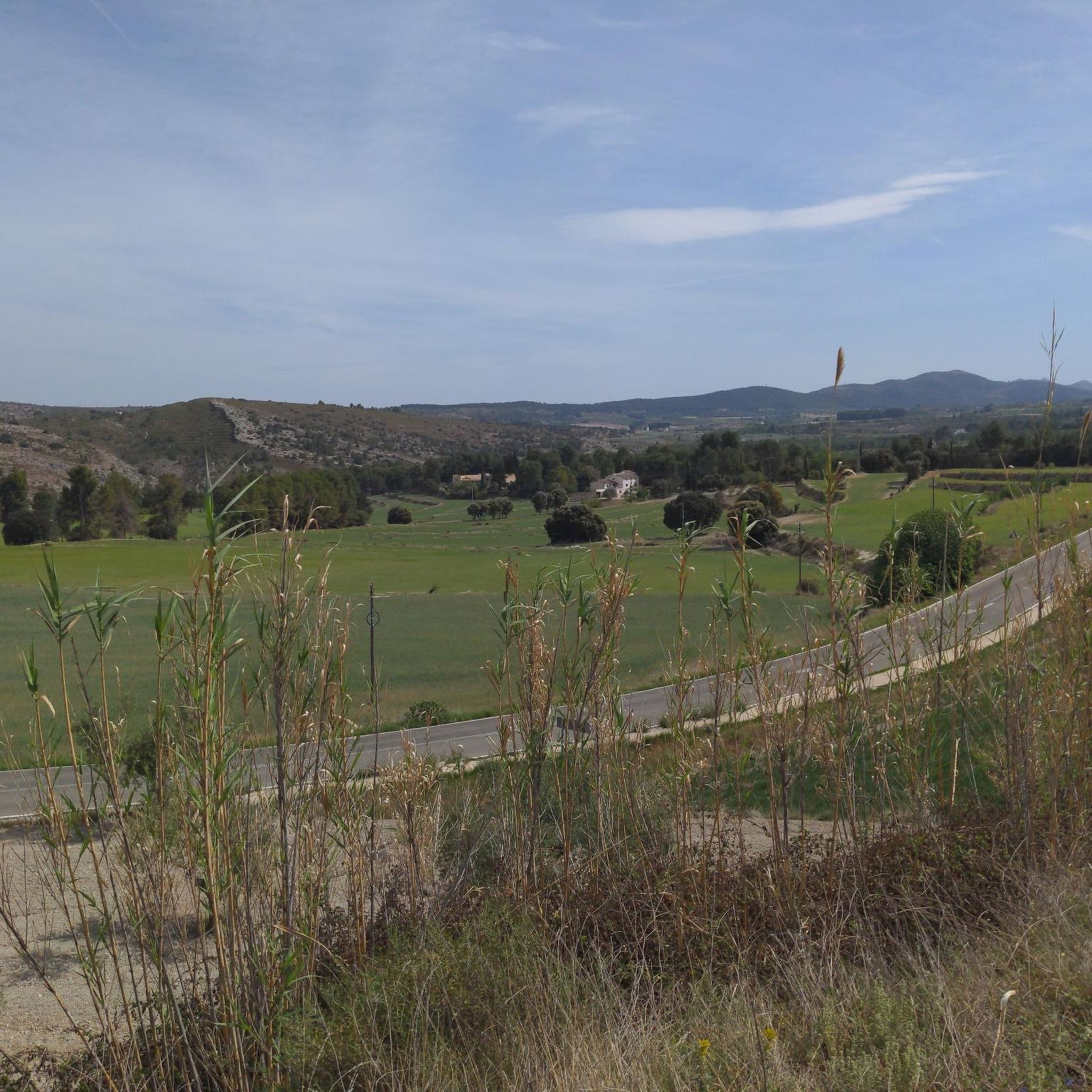
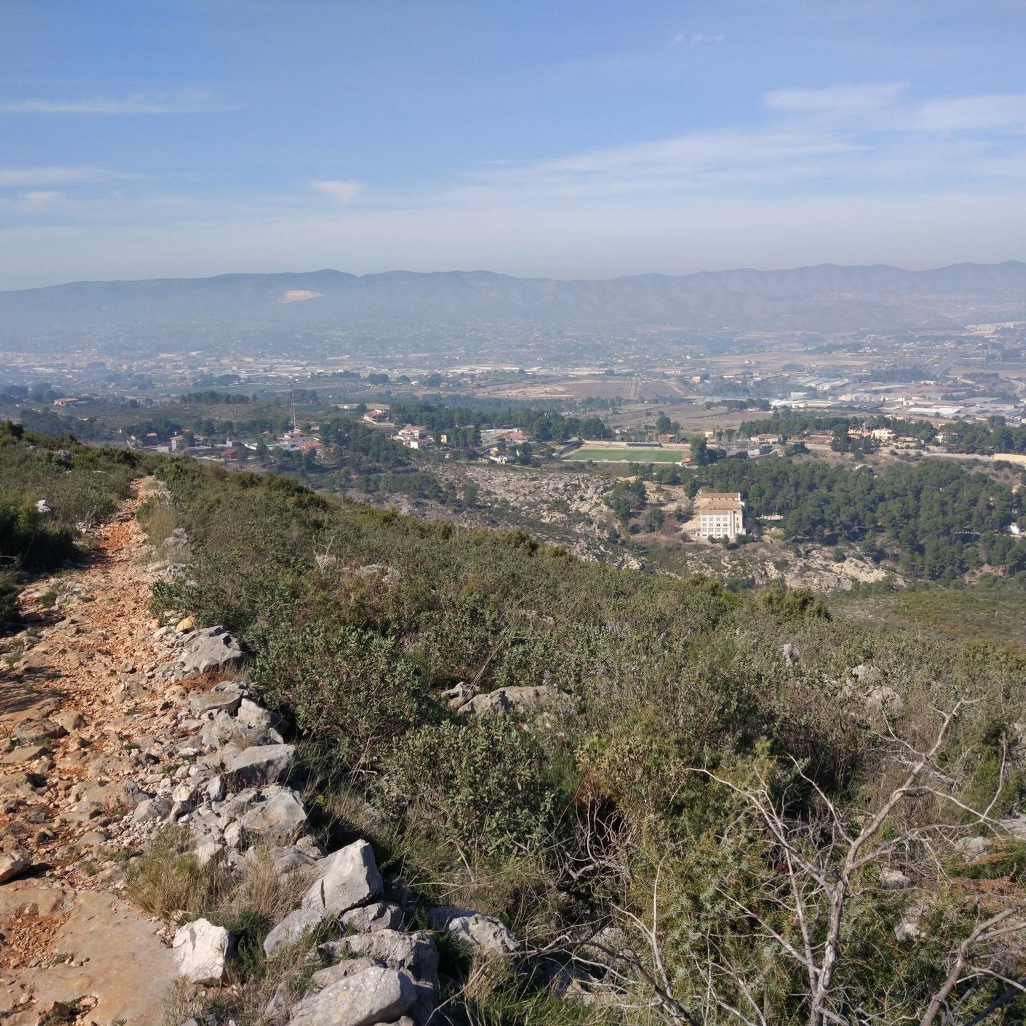
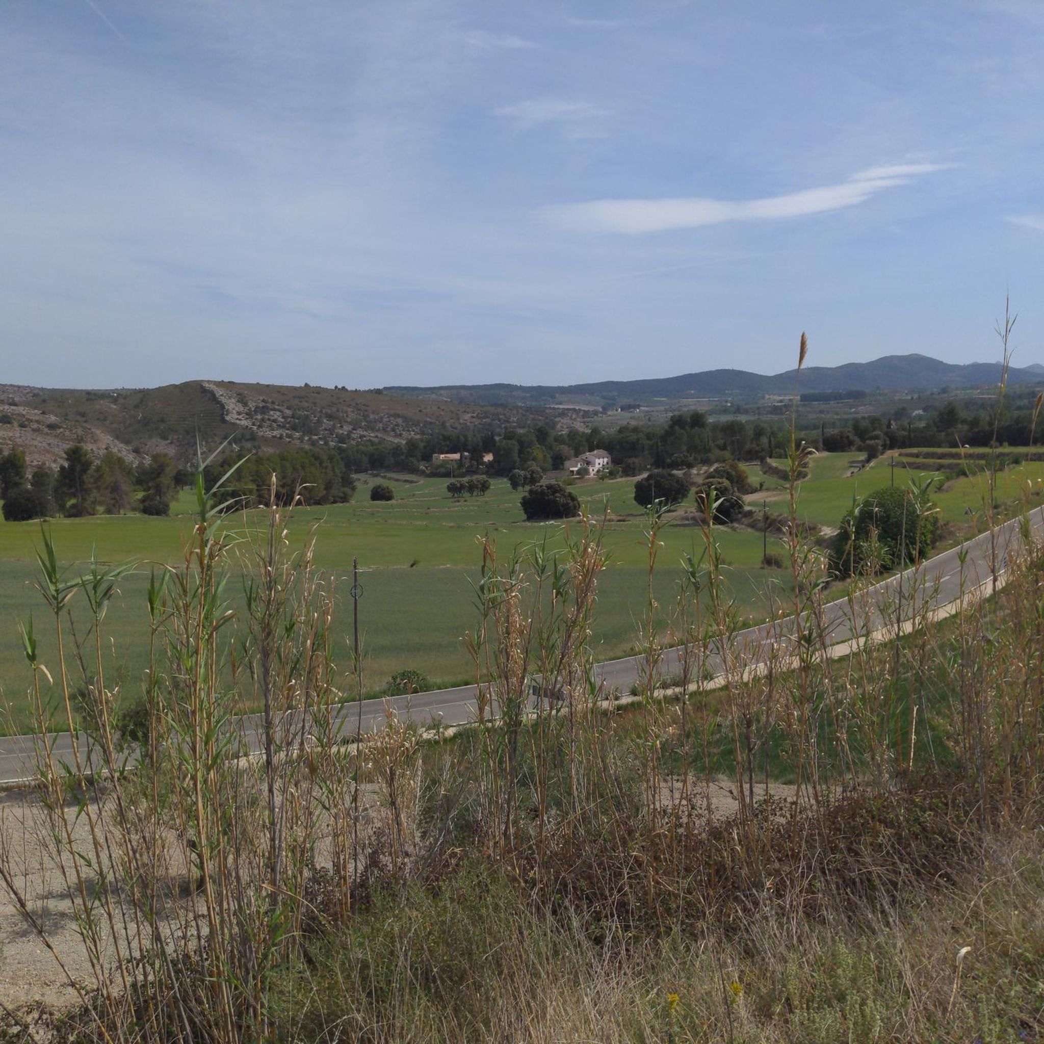
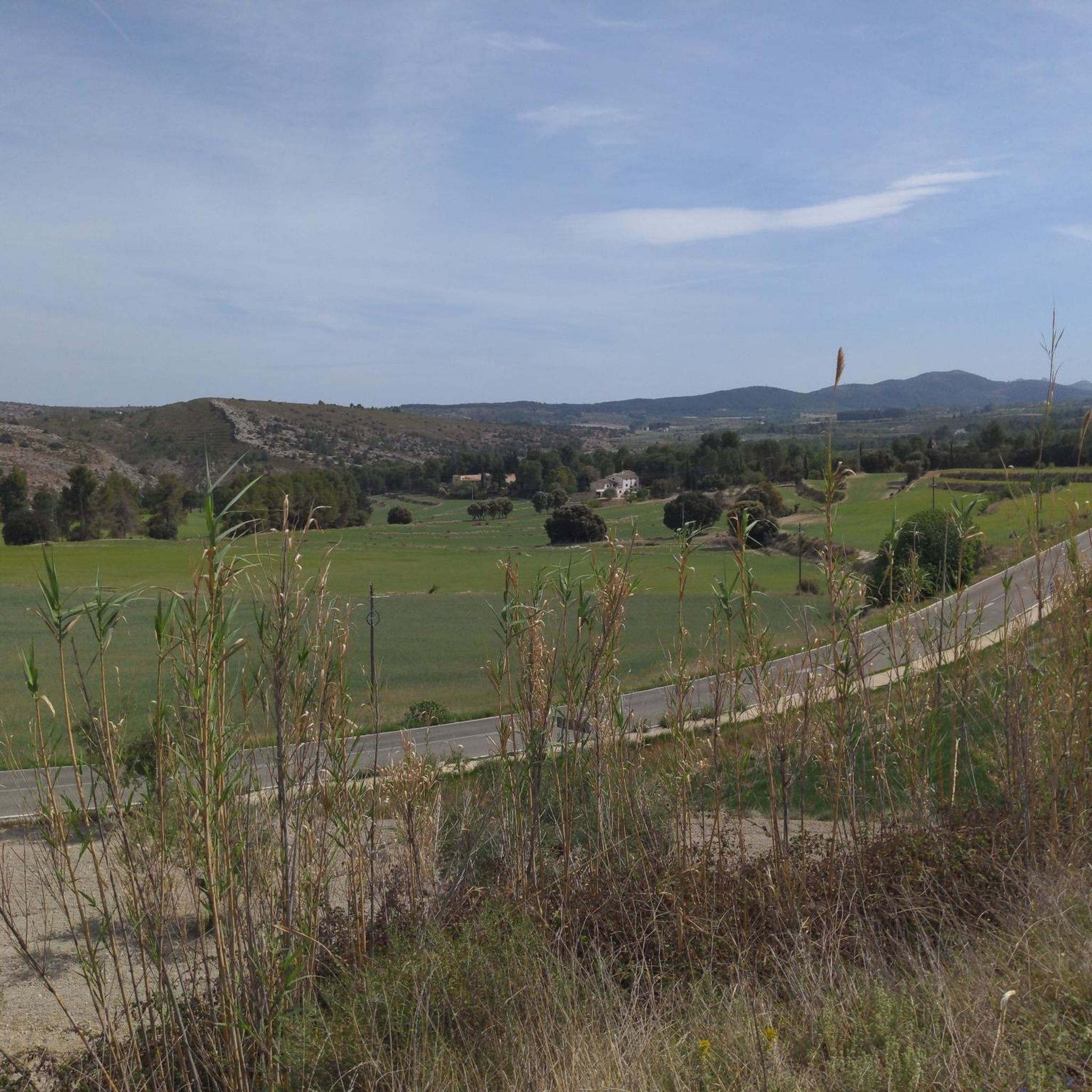
Gravel biking around Agullent offers diverse terrain characterized by rolling hills, agricultural valleys, and scenic paths. The region features a mix of unpaved roads, forest tracks, and trails that traverse the local landscape. Many routes provide views of the surrounding countryside and distant peaks.
Best gravel bike trails around Agullent
- The most popular gravel bike trail is Alt del Forner de Verda – Camino del Torrater loop from Ontinyent, a 18.9 miles (30.5 km) trail that takes 2 hours…
Last updated: May 11, 2026
5.0
(1)
17
riders
30.5km
02:28
550m
550m
Hard gravel ride. Very good fitness required. Mostly paved surfaces. Suitable for all skill levels.
5.0
(1)
17
riders
53.5km
03:54
710m
710m
Hard gravel ride. Very good fitness required. You may need to push your bike for some segments of this route.

Sign up for free
10
riders
48.9km
03:51
1,020m
1,020m
Hard gravel ride. Very good fitness required. Mostly paved surfaces. Suitable for all skill levels.
4
riders
42.0km
03:40
850m
850m
Hard gravel ride. Very good fitness required. Mostly paved surfaces. Suitable for all skill levels.
5.0
(1)
10
riders
31.2km
02:25
540m
540m
Hard gravel ride. Very good fitness required. Mostly paved surfaces. Suitable for all skill levels.
Get access to more routes and recommendations from other explorers.
Sign up for free
Already have an account?
Our route recommendations are based on thousands of hikes, rides, and runs completed by other people on komoot.
Start today with a free account
Your next adventure awaits.
Login or Signup
Tips from the Community

Having lunch at the La Oliva bar in Beniarrés at the foot of the Benicadell is an experience that is nothing short of mystical. Here, breakfast is a religion.
0
0

spectacular place to visit and take pictures!
0
0

Good route. Good place for a KitKat with water here and further along on Cami Port Albaida
0
0

Very nicely laid out, with a table and benches in the shade of the trees. Water trickles out of a fountain, very idyllic, a very beautiful, peaceful place. An oasis of calm!
5
0

From here you can see the imposing Benicadell massif, made up of spectacular rock cliffs that rise above the Mediterranean landscape.
0
0

Natural pass in the Serra de Benicadell that connects Salem with Beniarres. It could also be done by road, through the Coll del Raconet or also called Puerto de Salem. The views of Pico Benicadell from this point are extraordinary.
0
0
Frequently Asked Questions
How many gravel bike trails are available around Agullent?
There are over 20 gravel bike trails around Agullent, offering a variety of routes for different preferences. The region is particularly known for its more challenging rides, with 16 difficult routes and 6 moderate ones.
Are there easy or beginner-friendly gravel bike trails in Agullent?
The gravel biking routes around Agullent are generally more challenging. There are no easy routes listed, with the majority being classified as difficult and some as moderate. Beginners should be prepared for significant elevation changes and varied terrain.
What is the typical duration for gravel bike rides in Agullent?
Gravel bike rides around Agullent typically range from 2.5 to 4.5 hours. For example, the Alt del Forner de Verda – Camino del Torrater loop from Ontinyent takes about 2 hours 29 minutes, while the Camino del Torrater – Path to Agres loop from Agres can take around 4 hours 32 minutes.
Are there any loop gravel bike trails around Agullent?
Yes, many of the gravel bike trails in Agullent are loops. Popular options include the Path to Agres – Camino del Torrater loop from Ontinyent, which offers panoramic views, and the Alt de Pinaro – Views of Benicadell loop from Agullent, known for its extensive elevation gain.
What kind of views can I expect on gravel bike routes in Agullent?
The gravel routes around Agullent offer diverse scenery, including rolling hills, agricultural valleys, and forest tracks. Many trails provide scenic views of the surrounding countryside and distant peaks. The Font de Gamellons – View of the Valley loop from Ontinyent is a great example, specifically highlighting valley views.
What are some challenging gravel bike trails in Agullent?
For experienced gravel bikers seeking a challenge, the region offers several difficult routes. The Alt de Pinaro – Views of Benicadell loop from Agullent is particularly demanding with over 1000 meters of elevation gain. Another difficult option is the Alt del Forner de Verda – Camino del Torrater loop from Ontinyent.
What are some interesting natural attractions or landmarks near the gravel bike trails?
Beyond the trails, the Agullent area is rich in natural and historical sites. You can explore various caves, such as Cova de les Finestres or the ancient Covetes dels Moros. For those interested in peaks, the Montcabrer Summit offers impressive views.
What do other gravel bikers enjoy most about Agullent?
The komoot community rates gravel biking in Agullent highly, with an average score of 5.0 stars. Reviewers often praise the varied terrain, the challenging nature of the routes, and the scenic views of the local hills and agricultural landscapes.
Is Agullent suitable for gravel biking in winter?
Agullent generally experiences mild winters, making it possible to gravel bike year-round. However, it's always advisable to check local weather conditions before heading out, as rain can make unpaved tracks muddy and challenging.
Are there any viewpoints along the gravel routes in Agullent?
Yes, many routes offer excellent viewpoints. The region's rolling hills and elevated paths frequently provide panoramic vistas of the surrounding countryside and distant peaks. The Path to Agres – Camino del Torrater loop from Ontinyent is noted for its panoramic views.
Where can I find cafes or places to rest near the gravel bike trails in Agullent?
Many of the gravel bike routes start or pass through towns like Agullent or Ontinyent. These towns typically offer cafes, restaurants, and other amenities where you can rest and refuel before or after your ride.
What are the typical weather conditions for gravel biking in Agullent?
Agullent generally has a Mediterranean climate, characterized by hot, dry summers and mild winters. Spring and autumn offer pleasant temperatures ideal for gravel biking. Always check the forecast for rain, especially during cooler months, as it can affect trail conditions.
Most popular attractions around Agullent

Get inspired with the komoot mobile app


Explore more
Browse the best Gravel rides in other regions.
