The best gravel rides around Fawfieldhead
4.4
(81)
697
riders
31
rides
Gravel biking around Fawfieldhead features a landscape characterized by rolling hills, open moorland, and converted railway lines. The region includes established bridleways like the Pennine Bridleway and former rail trails such as the Tissington and High Peak Trails. These routes offer varied surfaces, from compacted gravel to more rugged paths, suitable for gravel bikes. The terrain often includes significant elevation changes, providing challenging climbs and rewarding descents.
Best gravel bike trails around Fawfieldhead
- The most popular gravel bike trail is…
Last updated: July 3, 2026
4.5
(14)
181
riders
69.3km
04:04
740m
740m
Hard gravel ride. Very good fitness required. Mostly paved surfaces. Suitable for all skill levels.
4.8
(25)
122
riders
60.4km
03:22
580m
580m
Hard gravel ride. Very good fitness required. Mostly paved surfaces. Suitable for all skill levels.

Sign up for free
5.0
(2)
11
riders
Hard gravel ride. Very good fitness required. Mostly paved surfaces. Suitable for all skill levels.
3.0
(1)
9
riders
73.8km
04:48
1,210m
1,210m
Hard gravel ride. Very good fitness required. Mostly paved surfaces. Suitable for all skill levels.
3.0
(1)
9
riders
Hard gravel ride. Very good fitness required. Mostly paved surfaces. Suitable for all skill levels.
Get access to more routes and recommendations from other explorers.
Sign up for free
Already have an account?
Our route recommendations are based on thousands of hikes, rides, and runs completed by other people on komoot.
Start today with a free account
Your next adventure awaits.
Login or Signup
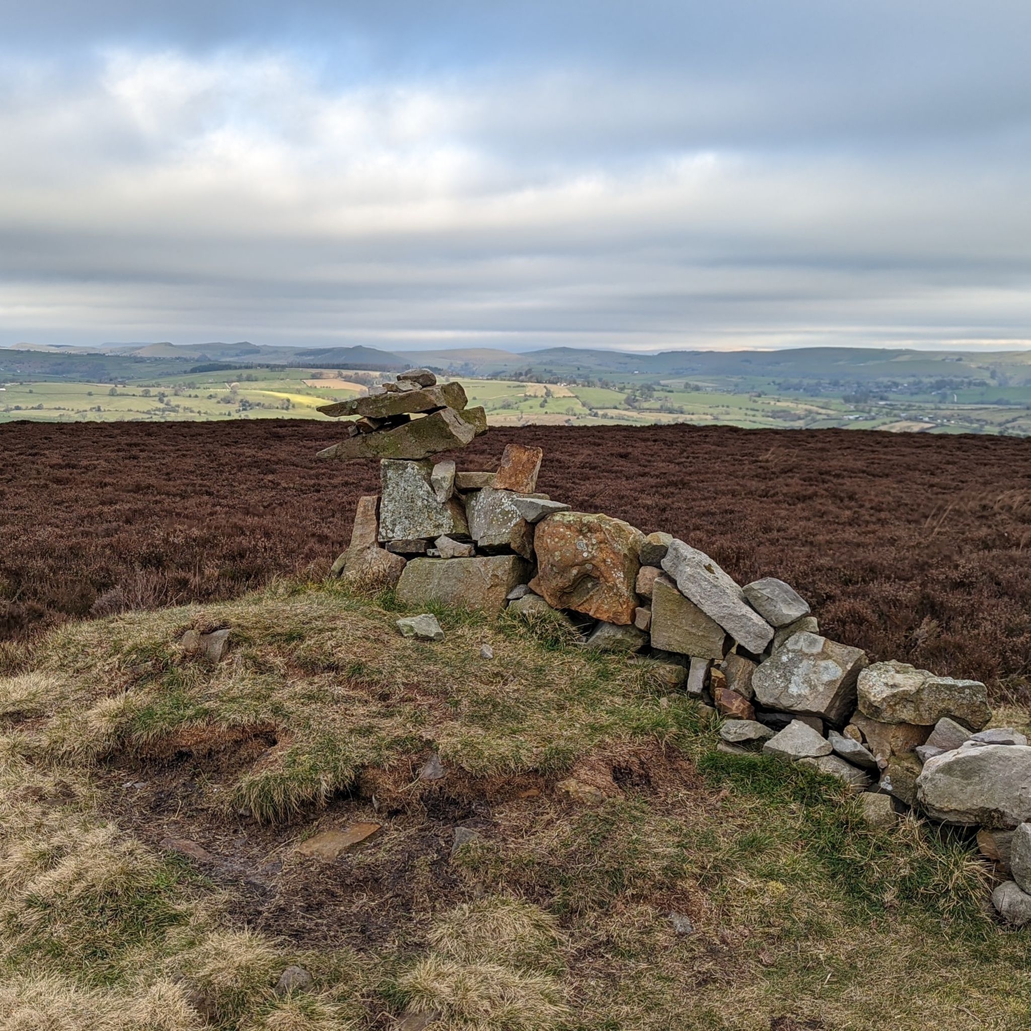
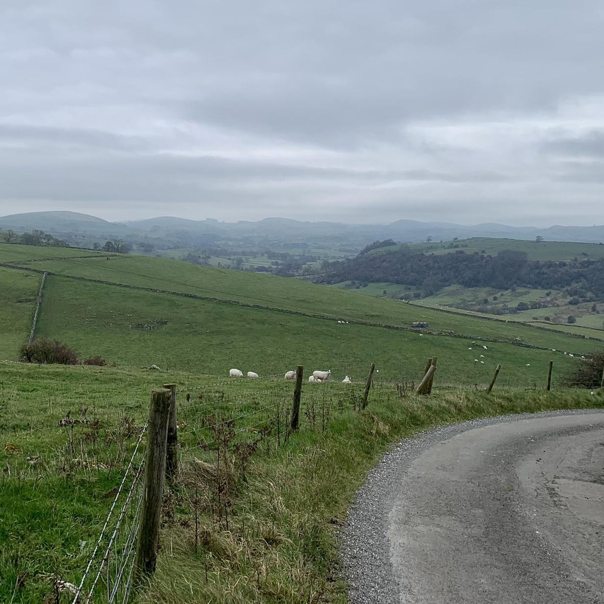
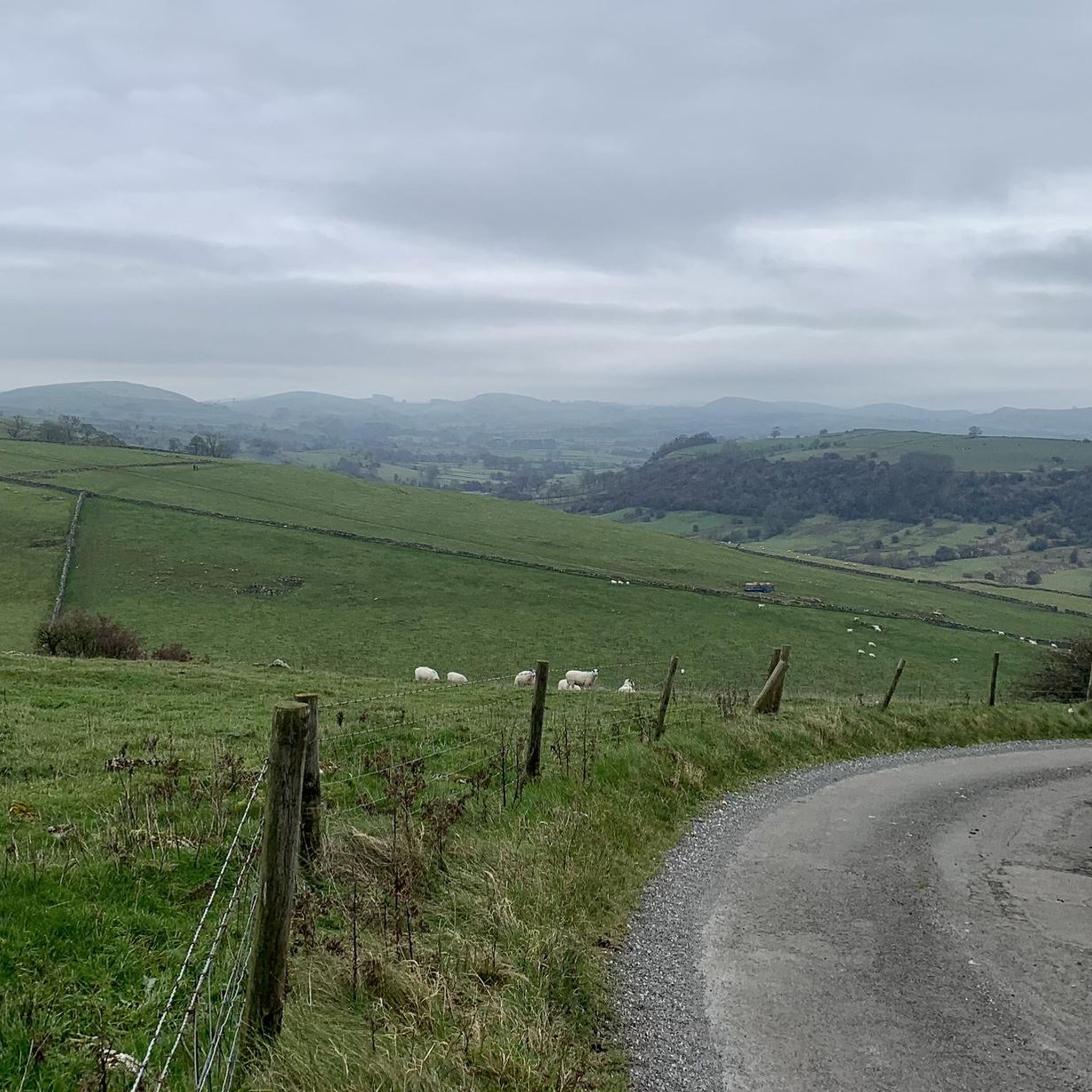
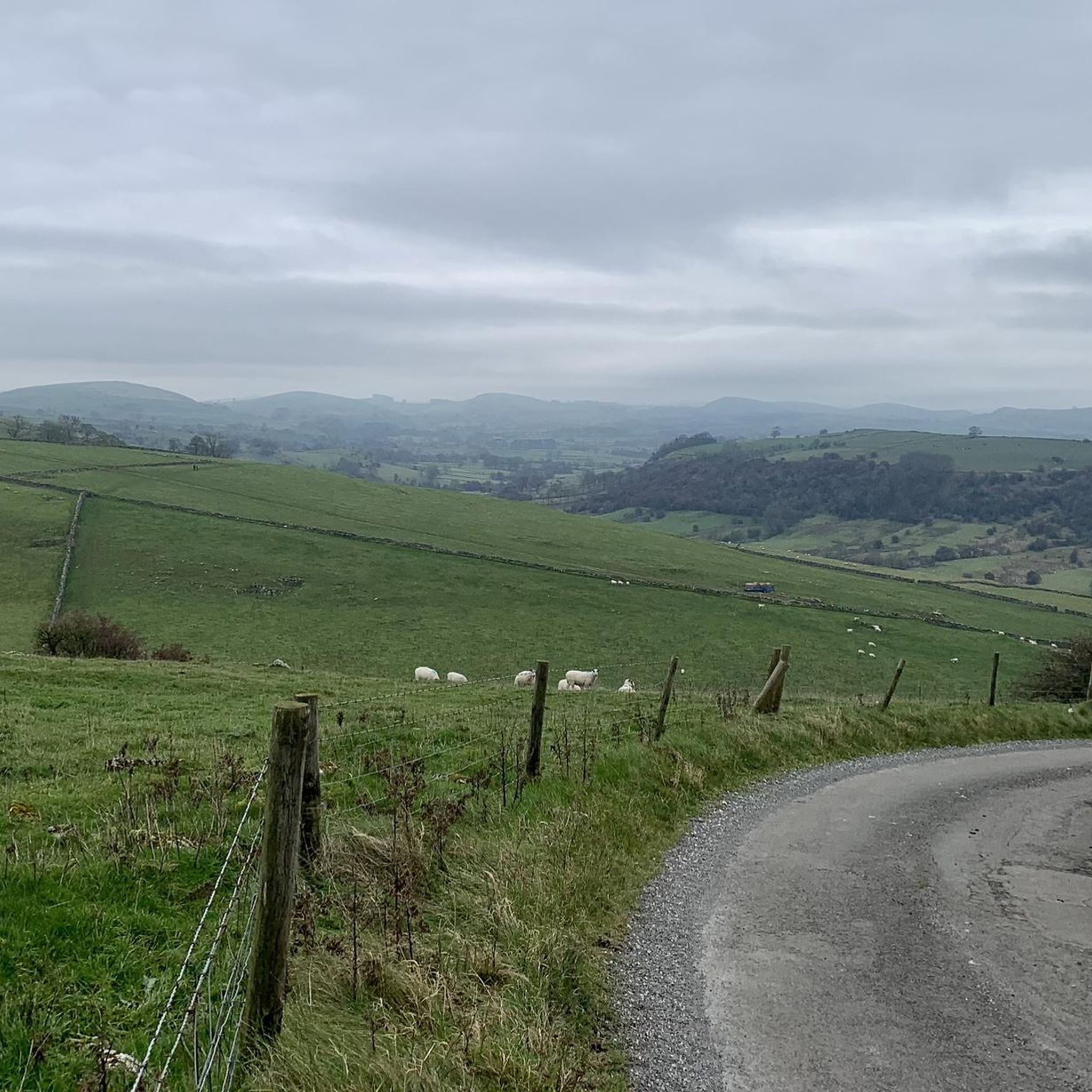
Tips from the Community

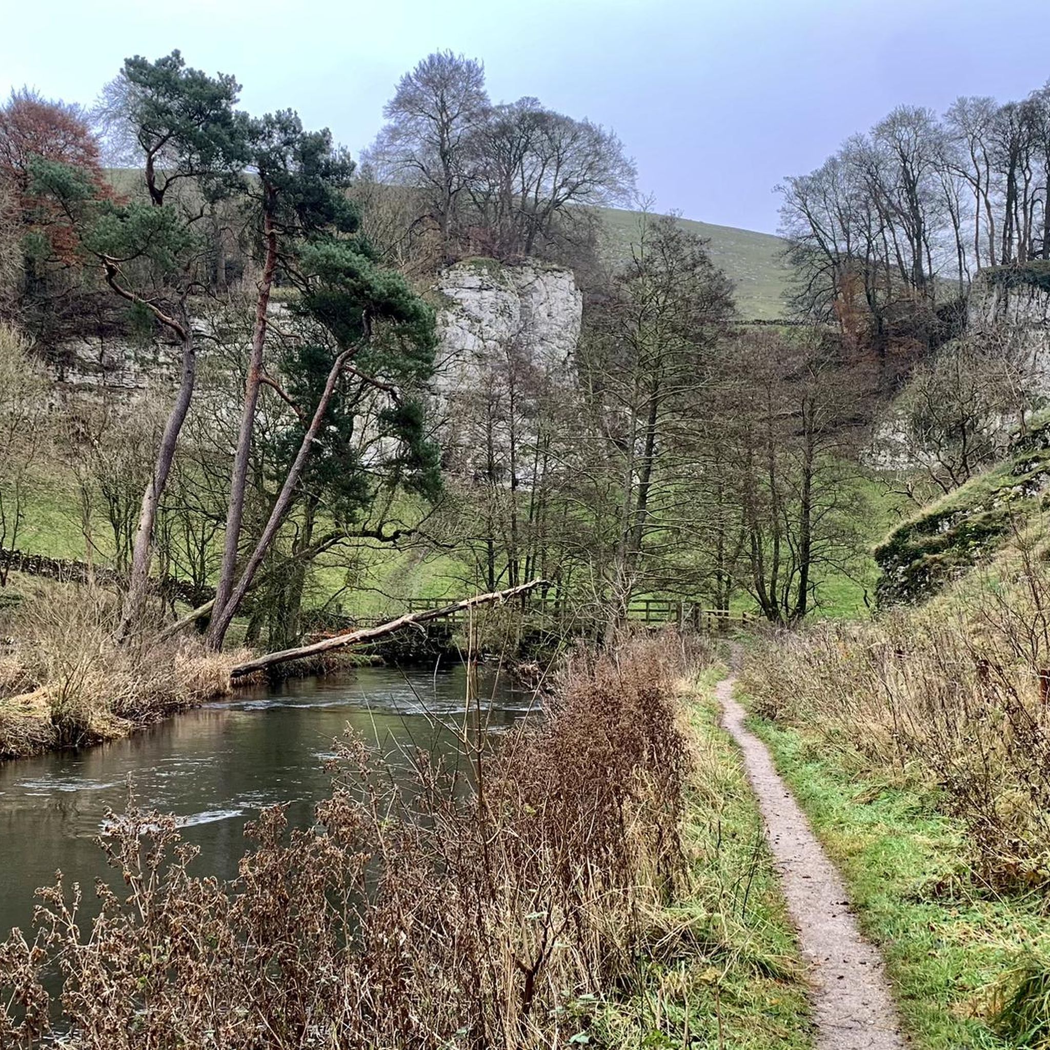
There’s a rock fall just beyond here if you’re heading NW - they have closed the bridleway but there are no signs before the last opportunity to take a detour - i have added pictures of the signs with all the information. I took a detour on bicycle through Brassington. Hopefully the trail should be open by March 6th 2026.
0
0

Many places along the back lanes to get a lovely view of Parkhouse House and Chrome Hills.
0
0
Watch some of the descents in this area during wet or icy weather.
0
0

An astonishing building for the railway that now helps cyclists to pass this valley with much less effort.
0
0

Great views of the old railway viaduct curving round over valley. The trail goes up this old railway
0
0
Great views here where the trails cross and just up the trail is a cafe with toilets if you fancy a break
0
0

Lovely bike ride- nice and steady and a few nice pub stops
0
0
Wonderful for exploring the national park
1
0
Frequently Asked Questions
How many gravel bike trails are available around Fawfieldhead?
There are over 30 gravel bike routes in the Fawfieldhead area, offering a diverse range of experiences. These routes vary in difficulty, with options for moderate and challenging rides, often utilizing converted railway lines and established bridleways.
Are there any easy gravel bike routes suitable for beginners in Fawfieldhead?
While many routes in Fawfieldhead feature significant elevation changes, there are a few easier options available. The region's converted railway lines, like sections of the Tissington and High Peak Trails, often provide smoother, less technical surfaces suitable for those new to gravel biking. You can find 3 routes categorized as easy within the area.
What are the typical trail conditions and surfaces like for gravel biking in Fawfieldhead?
Gravel biking in Fawfieldhead offers varied surfaces. You'll encounter compacted gravel on former railway lines such as the Tissington and High Peak Trails, as well as more rugged paths on established bridleways like the Pennine Bridleway. The terrain often includes rolling hills and open moorland, so be prepared for a mix of smooth and challenging sections.
Are there any circular gravel bike routes in Fawfieldhead?
Yes, many of the gravel bike routes around Fawfieldhead are designed as loops. For example, the Tissington Trail – High Peak Trail loop from Flagg CP is a popular circular option connecting two well-known converted railway lines. Another challenging loop is the Istrian stone hut at Parsley Hay – View of Harboro Rocks loop from Hartington Middle Quarter CP, offering varied terrain and scenic views.
What kind of elevation gain can I expect on gravel bike trails in Fawfieldhead?
Gravel bike trails in Fawfieldhead often feature significant elevation changes due to the region's rolling hills. For instance, the Tissington Trail – Carsington Water loop from Hartington Town Quarter CP includes over 1200 meters of ascent, providing challenging climbs and rewarding descents. Even routes like the Istrian stone hut at Parsley Hay – Pennine Bridleway Gravel Track loop from Hulme End still feature over 550 meters of climbing.
Are there any notable landmarks or scenic viewpoints along the gravel bike routes?
Yes, the Fawfieldhead area is rich with natural beauty and interesting landmarks. Along your rides, you might encounter stunning views from points like Trig point on The Roaches or High Wheeldon Summit Trig Point. Other prominent features include Chrome Hill and Parkhouse Hill, which are distinctive climbs in the landscape.
What do other gravel bikers enjoy most about the trails in Fawfieldhead?
The gravel biking experience in Fawfieldhead is highly rated by the komoot community, with an average score of 4.3 stars from over 50 reviews. Riders often praise the diverse terrain, the combination of converted railway lines and more rugged bridleways, and the challenging climbs that lead to rewarding views across the rolling hills and moorland.
Are there any routes that include water features or lakes?
Yes, some routes in the Fawfieldhead area pass by or near various water features. For example, the Bradbourne Brook Ford – Tissington Trail loop from Parkhouse Hill incorporates a ford crossing. Additionally, you can find highlights like Doxey Pool, Rudyard Lake, and Tittesworth Reservoir in the wider region, offering scenic stops.
What is the best time of year for gravel biking in Fawfieldhead?
The best time for gravel biking in Fawfieldhead is generally from spring through autumn. During these seasons, the weather is typically more favorable, and the trails are less likely to be affected by mud or ice, making for more enjoyable riding conditions across the varied surfaces of the moorland and bridleways.
Are there any routes that are particularly challenging or suited for advanced riders?
Fawfieldhead offers a good selection of challenging routes, with 17 categorized as difficult. These often feature significant elevation gain and more rugged sections. The Tissington Trail – Carsington Water loop from Hartington Town Quarter CP, for instance, is a demanding ride with over 1200 meters of climbing, making it suitable for experienced gravel bikers looking for a strenuous adventure.
Where can I find parking for gravel biking near Fawfieldhead?
Many of the gravel biking routes in Fawfieldhead start from designated car parks. For example, the popular Tissington Trail – High Peak Trail loop begins from Flagg CP (Car Park). Other routes may start from locations like Parkhouse Hill or Hartington Middle Quarter CP, so checking the specific route details on komoot will provide precise parking information.
Most popular routes around Fawfieldhead
Most popular attractions around Fawfieldhead

Get inspired with the komoot mobile app


Explore more
Browse the best Gravel rides in other regions.
