The best gravel rides around Butterton
4.4
(59)
530
riders
19
rides
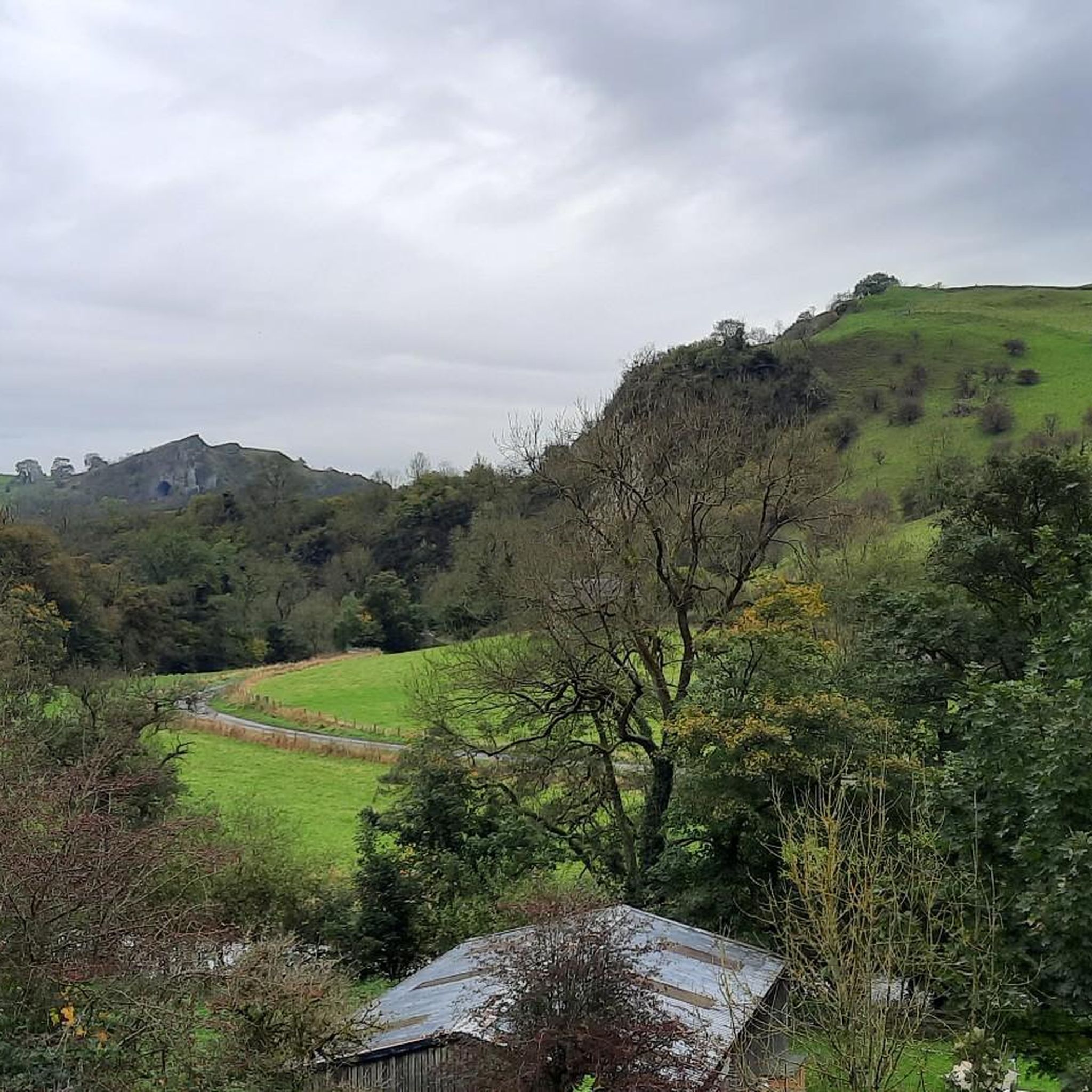
Gravel biking around Butterton offers access to a network of trails within the Peak District, characterized by rolling hills, former railway lines, and scenic valleys. The area features a mix of open landscapes and sections alongside rivers and through agricultural land. There are more than 20 gravel bike routes available, catering to various skill levels.
Best gravel bike trails around Butterton
- The most popular gravel bike trail is Tissington Trail Summit – Istrian stone hut at Parsley Hay loop from…
Last updated: July 3, 2026
4.5
(6)
48
riders
Easy gravel ride. Great for any fitness level. Mostly paved surfaces. Suitable for all skill levels.
4.8
(6)
81
riders
48.2km
02:46
580m
580m
Hard gravel ride. Very good fitness required. Mostly paved surfaces. Suitable for all skill levels.

Sign up for free
4.8
(6)
60
riders
30.1km
01:39
250m
250m
Moderate gravel ride. Good fitness required. Mostly paved surfaces. Suitable for all skill levels.
4.6
(14)
135
riders
44.4km
02:32
390m
390m
Moderate gravel ride. Good fitness required. Mostly paved surfaces. Suitable for all skill levels.
4.3
(3)
11
riders
Moderate gravel ride. Good fitness required. Mostly paved surfaces. Suitable for all skill levels.
Get access to more routes and recommendations from other explorers.
Sign up for free
Already have an account?
Our route recommendations are based on thousands of hikes, rides, and runs completed by other people on komoot.
Start today with a free account
Your next adventure awaits.
Login or Signup
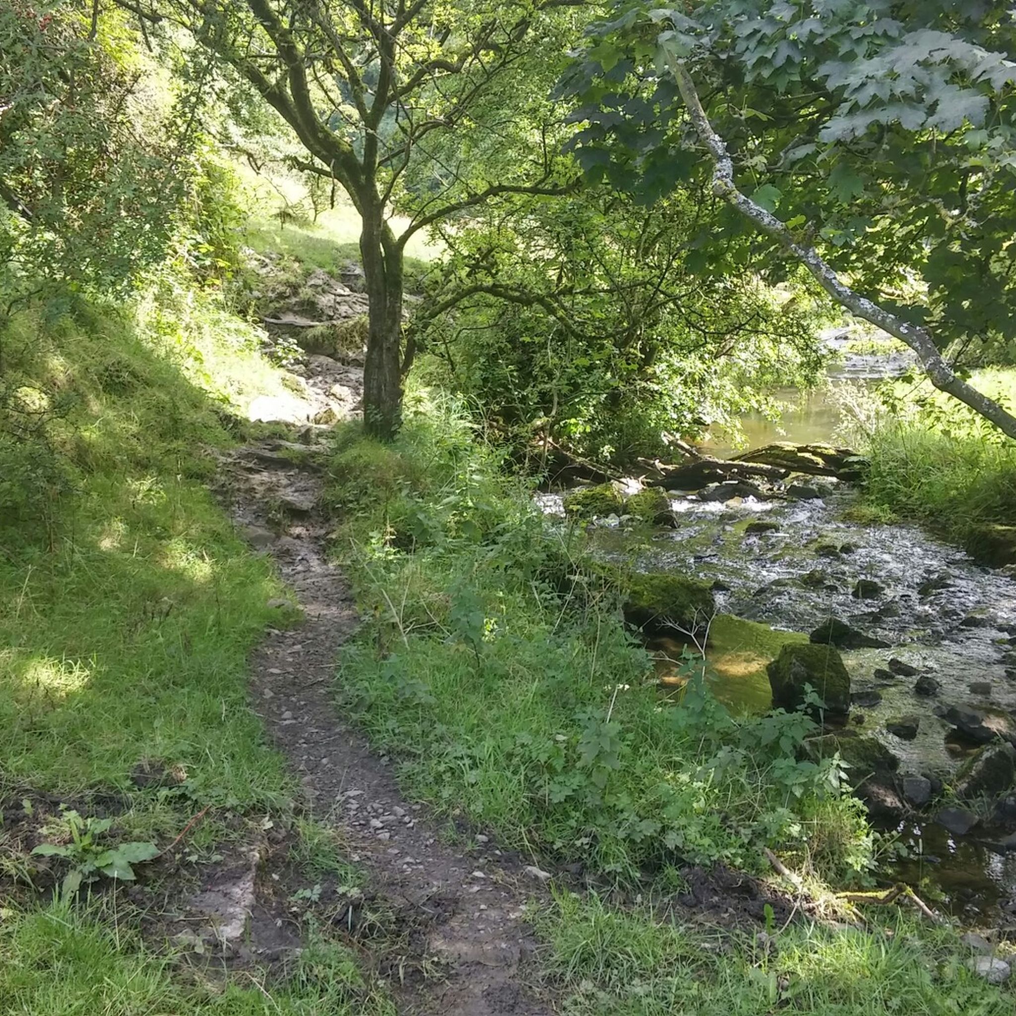
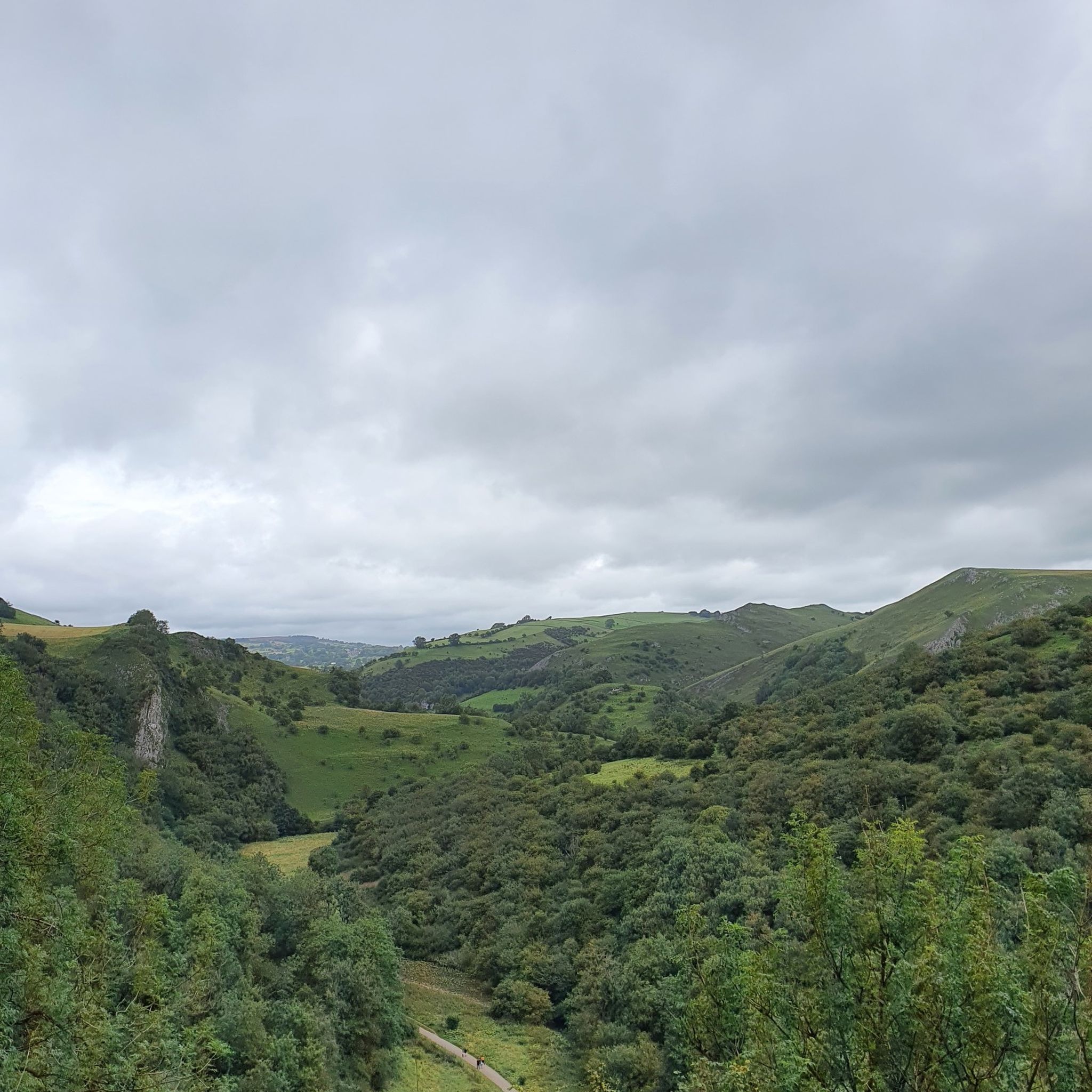
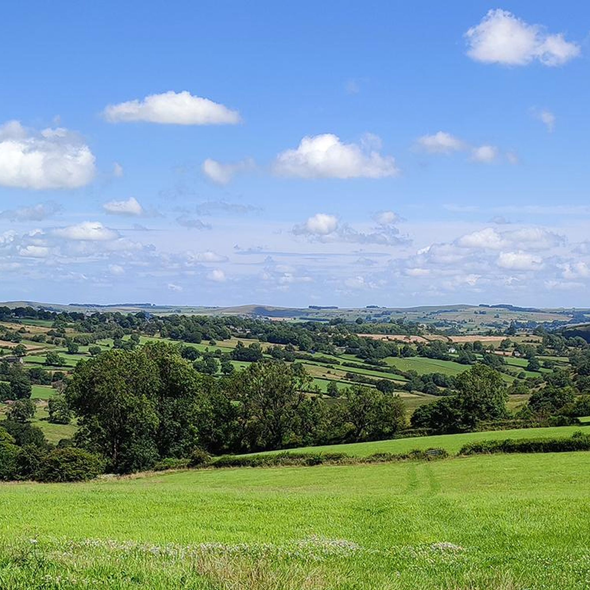
Tips from the Community

There’s a rock fall just beyond here if you’re heading NW - they have closed the bridleway but there are no signs before the last opportunity to take a detour - i have added pictures of the signs with all the information. I took a detour on bicycle through Brassington. Hopefully the trail should be open by March 6th 2026.
0
0

Incredible engineering from the past when railway wagons were winched up and down the inclines.
0
0

Great spot especially when the engine is running.
0
0


Great views here where the trails cross and just up the trail is a cafe with toilets if you fancy a break
0
0

Lovely bike ride- nice and steady and a few nice pub stops
0
0

Great view, good visitor centre
1
0
Wonderful for exploring the national park
1
0
Frequently Asked Questions
How many gravel bike trails are available around Butterton?
There are over 20 gravel bike routes available around Butterton, catering to various skill levels. These include a mix of easy, moderate, and difficult trails, with 2 easy, 9 moderate, and 10 difficult options.
Are there easy gravel bike trails suitable for beginners or families in Butterton?
Yes, Butterton offers easy, family-friendly gravel bike routes. A great option is the Tissington Trail Summit – Istrian stone hut at Parsley Hay loop from Arbor Low, which is 12.4 miles (19.9 km) and follows a section of the well-known Tissington Trail, offering a consistent surface.
What kind of terrain can I expect on gravel bike trails near Butterton?
Gravel biking around Butterton is characterized by former railway trails like the Tissington Trail and High Peak Trail, limestone dales, and open moorland. You'll encounter rolling hills, scenic valleys, and sections alongside rivers and through agricultural land.
Are there any long-distance gravel cycling routes in the Butterton area?
For longer rides, consider the Tissington Trail – Manifold Valley Trail loop from Waterhouses. This route is 30.0 miles (48.3 km) and leads through varied terrain, including former railway paths and valley sections, making it a more challenging, longer option.
What are some notable natural attractions or landmarks along the gravel bike trails?
Many trails offer access to stunning natural features. You might encounter highlights such as Thorpe Cloud, the Dovedale Stepping Stones and the River Dove, or the impressive Thor's Cave. The area is also known for its dales like Wolfscote Dale and various caves.
What do other gravel bikers enjoy most about cycling in Butterton?
The routes in Butterton are highly rated by the komoot community, with an average score of 4.35 stars from over 50 reviews. Riders often praise the varied terrain, from former railway lines to open moorland, and the scenic beauty of the Peak District.
Are there circular gravel bike routes available around Butterton?
Yes, many of the gravel bike routes around Butterton are designed as loops. For example, the High Peak Trail – High Peak Trail loop from Arbor Low is a popular circular route utilizing the High Peak Trail, offering consistent surfaces and expansive views.
Is it possible to find gravel bike routes with pub stops in the villages around Butterton?
While specific pub stops aren't detailed for each route, the trails often pass through or near charming villages in the Peak District. Many of these villages, such as Waterhouses or those along the Tissington Trail, typically offer local pubs or cafes where you can refuel.
What is the best time of year for gravel biking in Butterton?
The spring, summer, and early autumn months (April to October) generally offer the most favorable conditions for gravel biking in Butterton, with milder weather and longer daylight hours. However, the well-maintained former railway trails can be ridden year-round, though some sections might be muddy or exposed in winter.
Are there any moderate gravel bike trails for riders looking for a bit more challenge?
Absolutely. A good moderate option is the Tissington Trail – Tissington Trail Summit loop from Arbor Low. This 30.1 mile (30.1 km) route offers more elevation gain than the easier trails, providing a satisfying challenge without being overly technical.
Are the gravel bike trails around Butterton dog-friendly?
Many trails in the Peak District are dog-friendly, especially the former railway lines like the Tissington and High Peak Trails. However, always keep dogs on a lead, especially near livestock or on nature reserves, and ensure you clean up after them. Check specific trail regulations if you are unsure.
Where can I find parking for gravel biking near Butterton?
Parking is typically available at or near the main trailheads for popular routes. For example, routes starting from Arbor Low or Waterhouses often have designated parking areas. It's advisable to check local parking information for specific starting points before your ride.
Most popular routes around Butterton
Most popular attractions around Butterton

Get inspired with the komoot mobile app


Explore more
Browse the best Gravel rides in other regions.
