The best gravel rides around Lavendon
14
riders
5
rides
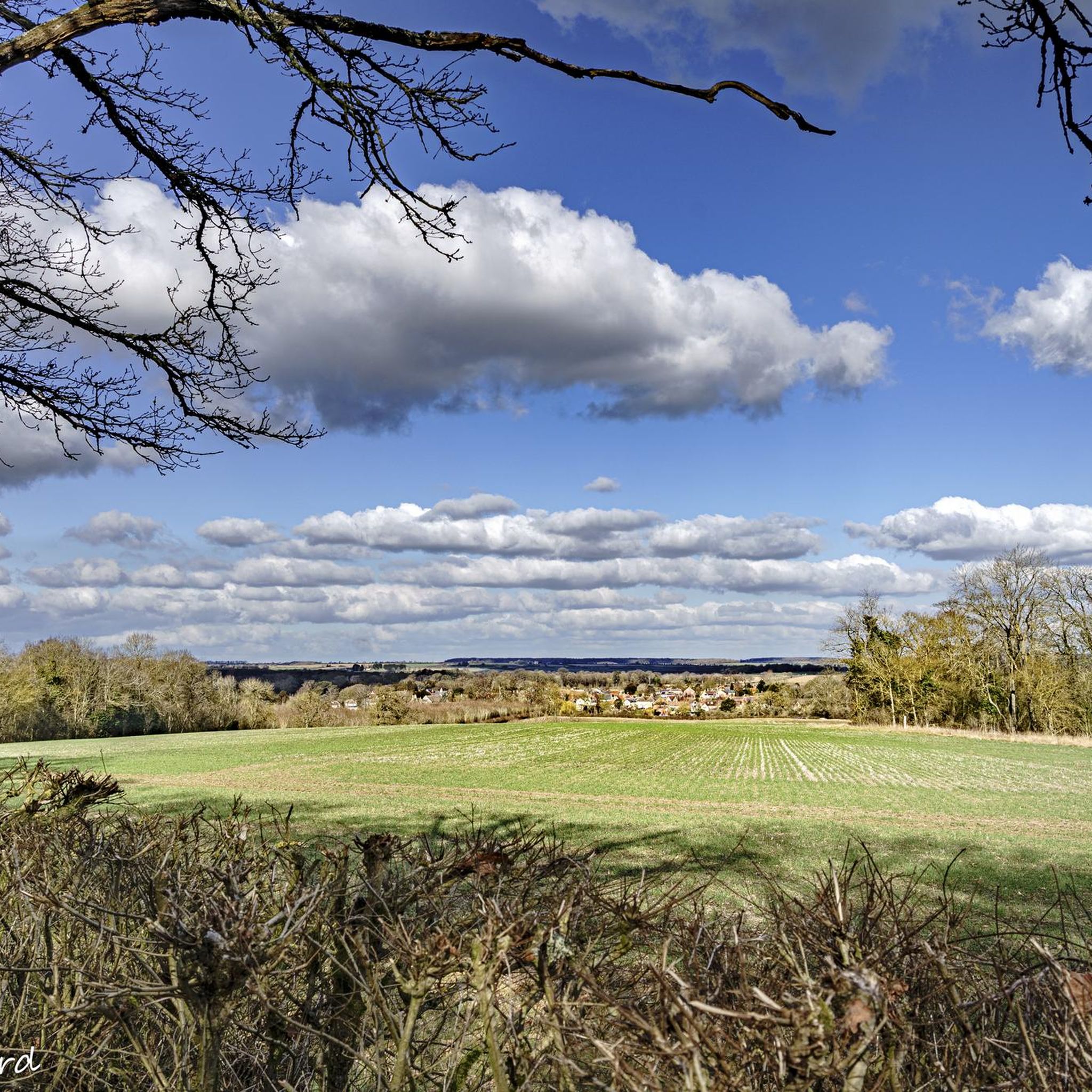
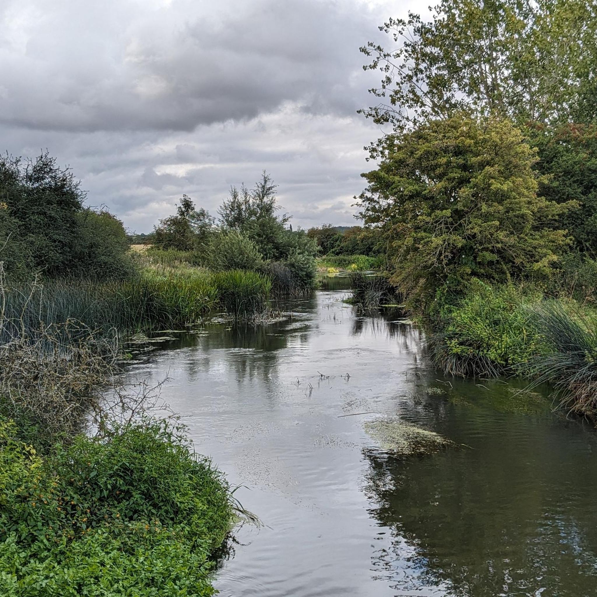
Gravel biking around Lavendon is characterized by a predominantly agricultural landscape with rolling hills and interspersed woodlands. The terrain offers a mix of quiet country lanes, bridleways, and farm tracks suitable for cycling. The area generally slopes towards the River Great Ouse, which forms part of Lavendon's southern boundary, providing varied gradients and scenic riverside sections. Small areas of woodland contribute to diverse routes, offering shaded sections and changes in scenery.
Best gravel bike trails around Lavendon
- The most popular…
Last updated: July 2, 2026
2
riders
38.6km
02:33
270m
270m
Moderate gravel ride. Good fitness required. Mostly paved surfaces. Suitable for all skill levels.
1
riders
21.1km
01:22
130m
130m
Easy gravel ride. Great for any fitness level. Mostly paved surfaces. Suitable for all skill levels.

Sign up for free
3
riders
34.3km
02:12
280m
280m
Moderate gravel ride. Good fitness required. Mostly paved surfaces. Suitable for all skill levels.
2
riders
48.2km
03:14
360m
360m
Moderate gravel ride. Good fitness required. Mostly paved surfaces. Suitable for all skill levels.
3
riders
59.1km
03:12
380m
380m
Moderate gravel ride. Good fitness required. Mostly paved surfaces. Suitable for all skill levels.
Our route recommendations are based on thousands of hikes, rides, and runs completed by other people on komoot.
Start today with a free account
Your next adventure awaits.
Login or Signup

Tips from the Community

I find it safe to lock my bike in the market square. They are visible from the cafe windows and the entrance to the fish and chip shop. It gives a bit of peace of mind.
0
0

Good when it’s dry can get a little boggy in winter months
0
0

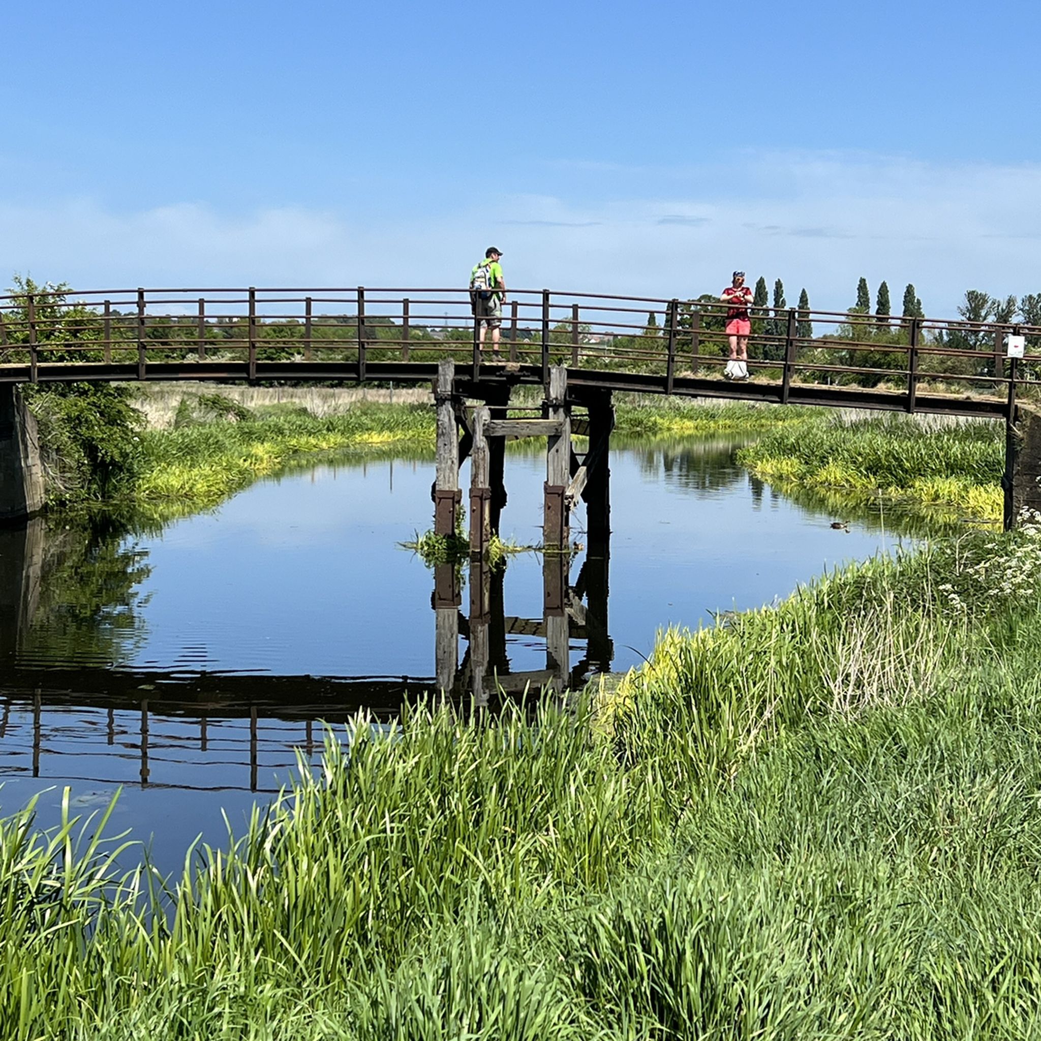
This picturesque stretch of gravel trail runs along the Northampton Arm of the Grand Union Canal, offering charming views of canal boats and historic bridges to admire along the way.
2
0

The Bampton Valley Way is a 14-mile (22.5km) disused railway trail between Northampton and Market Harborough. It's a well surfaced multi-user trail, perfect for easy rides, families or as part of a commute. The trail follows a section of the old Northampton–Market Harborough railway line. It opened in 1859 and closed in 1981.
2
0


Frequently Asked Questions
How many gravel bike trails are available around Lavendon?
There are 6 gravel bike trails around Lavendon, offering a variety of experiences for different skill levels. These routes showcase the region's agricultural landscape, rolling hills, and interspersed woodlands.
Are there any easy gravel bike trails suitable for beginners in Lavendon?
Yes, there is one easy gravel bike trail around Lavendon. The Olney Pancake Parlour – Olney Market Square loop from Olney is a 13.3-mile (21.4 km) path that offers a gentler ride through the agricultural landscape, perfect for those new to gravel biking.
What kind of terrain can I expect on gravel bike trails near Lavendon?
The terrain around Lavendon is predominantly agricultural, featuring rolling hills and scattered woodlands. You'll encounter a mix of quiet country lanes, bridleways, and farm tracks. The land generally slopes towards the River Great Ouse, providing varied gradients and scenic riverside sections. Some routes may include unpaved and potentially challenging segments, while others are mostly paved.
Are there any long-distance gravel bike routes around Lavendon?
For a longer ride, consider the View of Pitsford Water – View of Pitsford Reservoir loop from Cogenhoe. This moderate route spans nearly 60 miles (59.8 km) and takes approximately 4 hours and 25 minutes to complete, offering an extended exploration of the wider region.
Are there any circular gravel bike routes in the Lavendon area?
Many of the gravel routes around Lavendon are designed as loops. For example, the popular Turvey Bridge and Village – Olney Market Square loop from Olney is a moderate 21.3-mile (34.3 km) circular trail that explores local villages and countryside. Another option is the Turvey Village – Felmersham Bridge loop from Sharnbrook, a 24.0-mile (38.6 km) loop through rural countryside and near river valleys.
What natural features or landmarks can I see along the gravel bike trails?
The routes often pass through scenic agricultural land and near the River Great Ouse. You might also encounter small woodlands. Notable nearby attractions include the Harrold Bridge and Harrold-Odell Country Park, which features lakes and water meadows, and the historic Stevington Windmill. For a unique natural sight, the Oak in Salcey Forest, a veteran tree, is also within reach.
Are there any challenging gravel bike trails for experienced riders?
While there are no routes explicitly rated as 'difficult' in the immediate Lavendon area, several moderate trails offer a good challenge. The Dirt Path – Rice Field loop from Sherington, for instance, is a moderate 19.7-mile (31.8 km) route with varied terrain that can test your skills.
What is the best time of year for gravel biking around Lavendon?
The best time to visit for gravel biking is generally during the spring, summer, and early autumn months. The agricultural landscape is vibrant, and the weather is typically more favorable. Winter rides are possible, but be prepared for potentially muddy tracks, especially after rain, and cooler temperatures.
Are there any cafes or pubs along the gravel routes for a stop?
Many routes pass through or near local villages, which often have pubs or cafes. For example, the Olney Pancake Parlour – Olney Market Square loop from Olney starts and ends in Olney, which is known for its amenities, including the Pancake Parlour itself. Exploring villages like Turvey, which is part of the Turvey Bridge and Village loop, will also offer opportunities for refreshments.
Is public transport available to reach the gravel trails around Lavendon?
Public transport options directly to the starting points of all gravel trails might be limited, as Lavendon is a rural village. It's advisable to check local bus services for connections to Lavendon or nearby towns like Olney, which serve as starting points for several routes. Many cyclists choose to drive to a convenient parking spot in one of the villages and start their ride from there.
Are the gravel bike trails around Lavendon suitable for families?
While the region offers varied terrain, the easy-rated Olney Pancake Parlour – Olney Market Square loop from Olney could be a good option for families looking for a gentler ride. It's important to consider the distance and elevation of any chosen route, as well as the mix of surfaces, to ensure it's appropriate for all family members.
What are the elevation gains like on the gravel bike routes?
The routes around Lavendon feature rolling hills, so you can expect moderate elevation gains. For instance, the Turvey Bridge and Village – Olney Market Square loop from Olney has an elevation gain of approximately 279 meters over its 34.3 km distance, providing a good workout without overly steep climbs.
Most popular attractions around Lavendon

Get inspired with the komoot mobile app


Explore more
Browse the best Gravel rides in other regions.
