The best gravel rides around Blunham
4.6
(6)
55
riders
10
rides
Gravel biking around Blunham is characterized by its flat river valleys and varied terrain. The region is defined by the Rivers Great Ouse and Ivel, contributing to a largely flat topography. Its geological composition includes river gravel and alluvium, naturally forming unpaved surfaces suitable for gravel bikes. The area features a network of pathways, including former railway lines like National Cycle Network Route 51, and riverside routes.
Best gravel bike trails around Blunham
- The most popular gravel bike trail is…
Last updated: July 3, 2026
3.0
(1)
18
riders
38.3km
01:58
180m
180m
Moderate gravel ride. Good fitness required. Mostly paved surfaces. Suitable for all skill levels.
5.0
(1)
9
riders
35.5km
02:14
130m
130m
Moderate gravel ride. Good fitness required. Mostly paved surfaces. Suitable for all skill levels.

Sign up for free
4
riders
46.6km
02:52
200m
200m
Moderate gravel ride. Good fitness required. Mostly paved surfaces. Suitable for all skill levels.
5.0
(1)
2
riders
Easy gravel ride. Great for any fitness level. Mostly paved surfaces. Suitable for all skill levels.
2
riders
Easy gravel ride. Great for any fitness level. Mostly paved surfaces. Suitable for all skill levels.
Get access to more routes and recommendations from other explorers.
Sign up for free
Already have an account?
Our route recommendations are based on thousands of hikes, rides, and runs completed by other people on komoot.
Start today with a free account
Your next adventure awaits.
Login or Signup
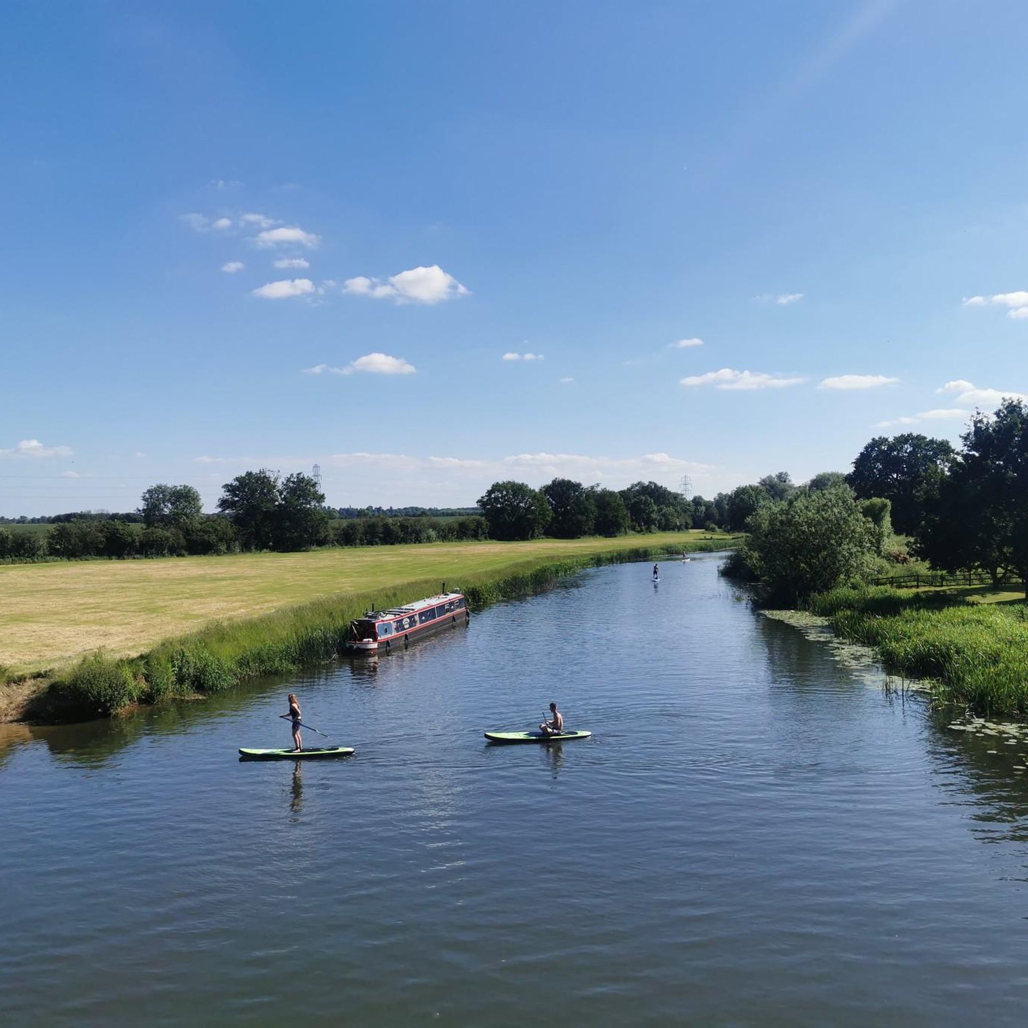
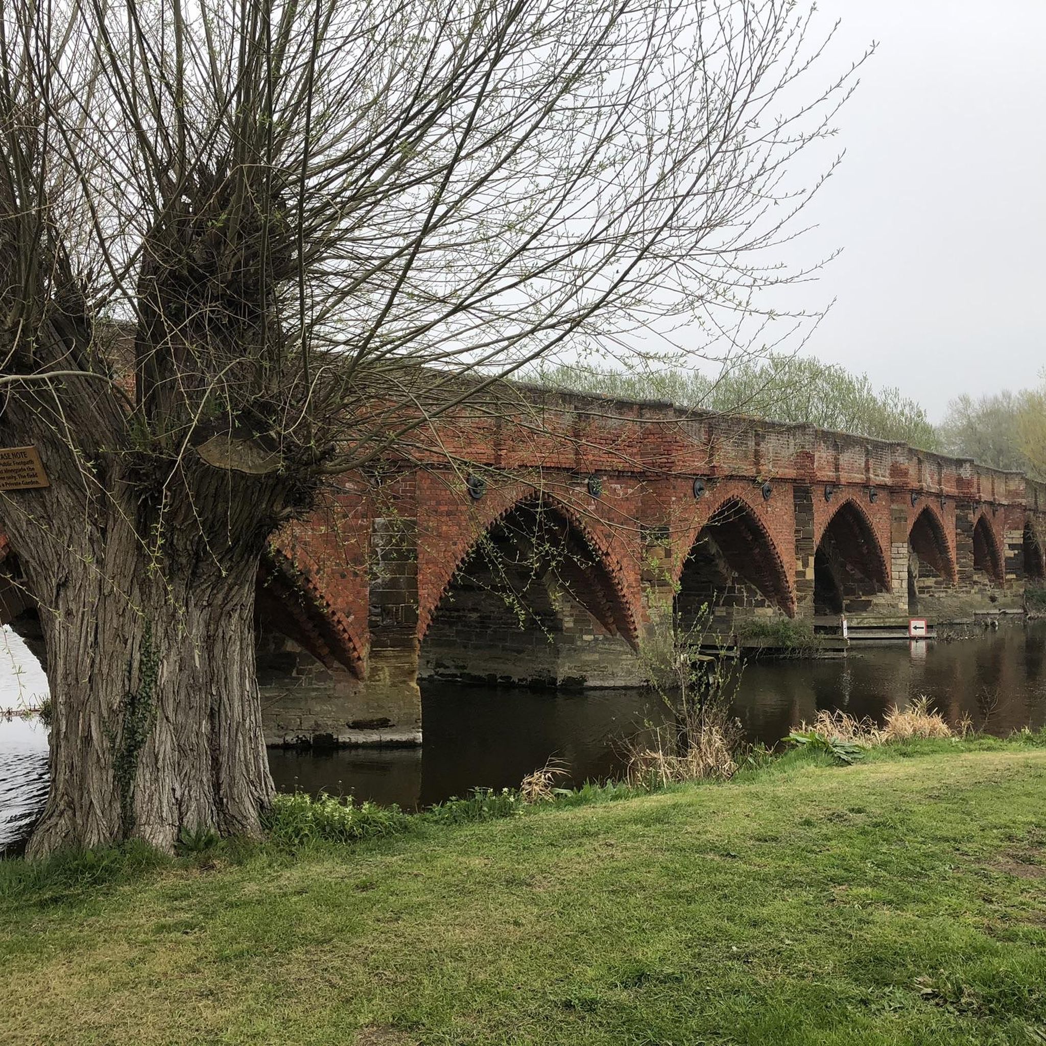


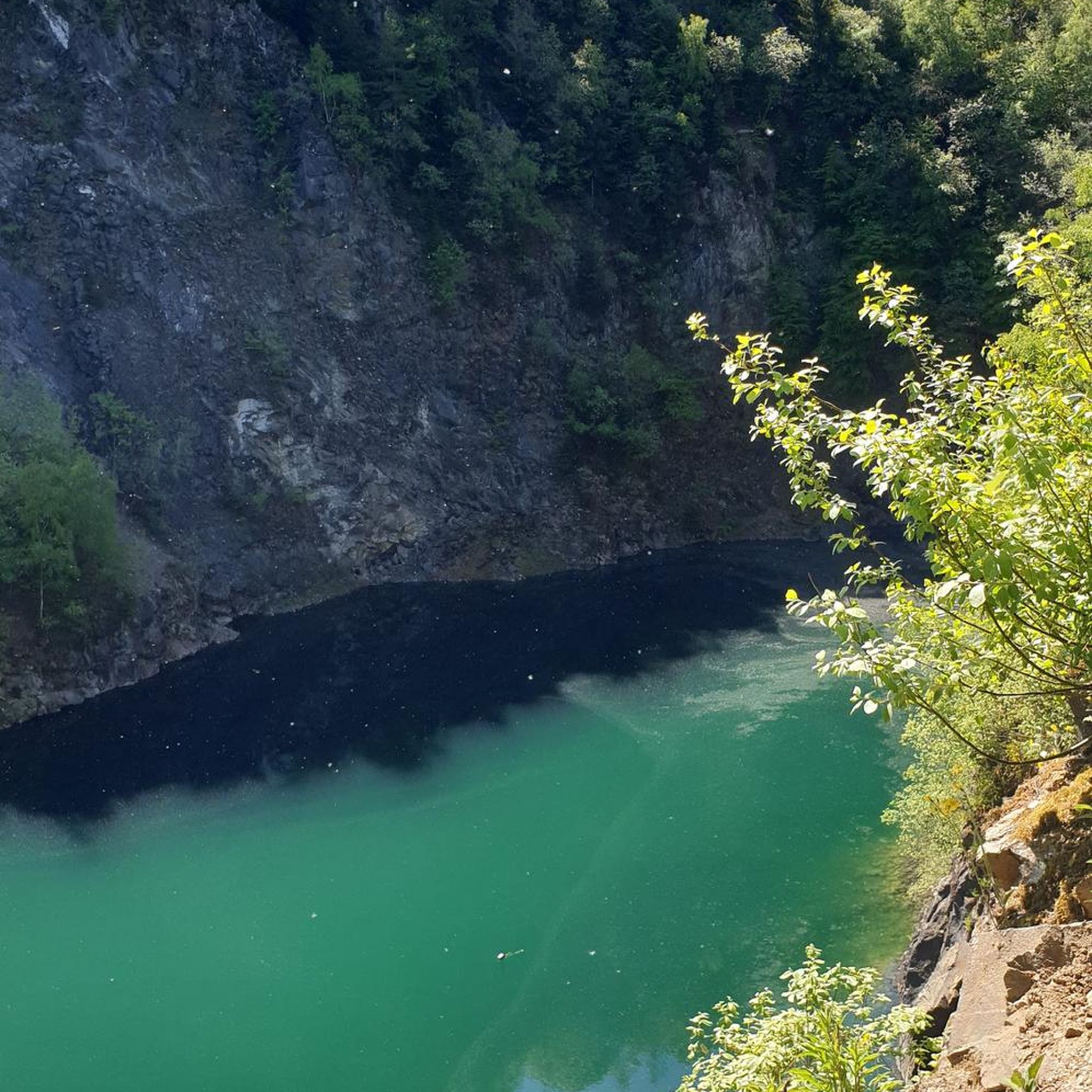
Tips from the Community

nice little coffee stop on way back from watching Tour of Britain
0
0

Great way to cross the mainline to Peterborough (very wide ramp system suitable for horses), but the ramp was closed when I last I went to cross (June 25).
0
0

Really cycling-friendly cafe: good food and coffee, drinking water tap, bike racks with plenty of space. Only thing I'd say is that the portions are a little small for the price.
0
0
A great ride through the RSPB area but be aware there is only one main route north/south that bikes are permitted. Brilliant area with cafe for a coffee and cake recharge!
0
0

The Lodge is a nature reserve managed by the RSPB. It's the largest stretch of heathland in Bedfordshire. Important species that can be seen here include Hobbies, Nightjars, Ravens, Common Lizards and Natterjack Toads. There are also areas of grassland and woods, important habitat for other species. There is a visitor centre, shop and cafe.
1
0
Frequently Asked Questions
What kind of terrain can I expect on gravel bike trails around Blunham?
The terrain around Blunham is largely flat, characterized by river valleys and a mix of surfaces. You'll find natural gravel deposits, boulder clay, and alluvium, especially along the Rivers Great Ouse and Ivel. Many paths are unpaved, offering a true gravel biking experience, while sections of routes like the National Cycle Network Route 51 are surfaced and mainly flat.
Are there any easy gravel bike trails suitable for beginners in Blunham?
Yes, Blunham offers several easy gravel bike trails perfect for beginners or those looking for a relaxed ride. For example, the Shuttleworth Airfield Trail – Franklins Farm Shop and Café loop from Ickwell is an easy 19.5 km route with minimal elevation gain, offering a pleasant introduction to gravel biking in the area.
What are some notable natural features or landmarks I can see while gravel biking in Blunham?
While gravel biking in Blunham, you can explore several natural features and landmarks. The routes often follow the scenic Rivers Great Ouse and Ivel. You might also pass by the The Lodge RSPB Nature Reserve, known for its heathland, or cycle around Priory Lake, which offers various tracks. The National Cycle Route 51 also runs through the area, providing dedicated cycling paths.
Are there any circular gravel bike routes available in Blunham?
Yes, many of the gravel bike routes around Blunham are designed as loops, allowing you to start and finish in the same location. For instance, the Grafham Water – Grafham Water loop from St Neots is a popular circular route, as is the Priory Lake – River Great Ouse in Bedford loop from Bedford.
Can I bring my dog on the gravel bike trails in Blunham?
Many of the public bridleways and paths in the Blunham area are suitable for cycling with dogs, provided they are well-behaved and kept under control, ideally on a lead, especially near livestock or in nature reserves. Always check local signage for specific restrictions in certain areas, such as nature reserves, to ensure a dog-friendly experience.
What is the best time of year for gravel biking in Blunham?
The relatively flat terrain and varied surfaces of Blunham make it suitable for gravel biking throughout much of the year. Spring and autumn offer pleasant temperatures and beautiful scenery. Summer can be enjoyable, but ensure you carry enough water. In winter, some unpaved sections might become muddy, so be prepared for potentially challenging conditions.
Are there any routes that incorporate the John Bunyan Trail or National Cycle Route 51?
Yes, some routes in the Blunham area integrate sections of these well-known trails. For example, the Priory Lake – John Bunyan Trail Bridleway loop from Bedford combines lakeside views with parts of the historic John Bunyan Trail. The National Cycle Network Route 51 (University Way) also passes near Blunham, offering surfaced and flat sections ideal for gravel bikes.
Are there any cafes or pubs along the gravel routes in Blunham?
While specific cafes and pubs directly on every gravel route can vary, the villages and towns surrounding Blunham, such as Tempsford, St Neots, and Bedford, offer various options for refreshments. Planning your route to pass through these settlements will allow you to find places to stop for a break, a coffee, or a meal.
How many gravel bike trails are there in Blunham?
There are over 15 gravel bike trails available for exploration around Blunham. These routes vary in length and difficulty, offering options for different preferences and skill levels, from easy riverside paths to longer, moderate routes through open landscapes.
What do other gravel bikers enjoy most about gravel biking in Blunham?
The area is highly rated by the komoot community, with an average score of 4.3 stars. Reviewers often praise the region's flat river valleys, the varied terrain that keeps rides interesting, and the accessibility of routes like the National Cycle Network. The scenic paths along the Great Ouse and Ivel rivers are also frequently highlighted as enjoyable features.
Is there parking available for cyclists in Blunham?
Yes, parking is generally available in and around Blunham, particularly in the larger nearby towns like St Neots or Bedford, which serve as common starting points for many routes. When planning your ride, it's advisable to check specific parking facilities at your chosen starting location, especially if you're looking for free or secure options.
Are there any advanced or difficult gravel bike routes in Blunham?
The gravel biking routes around Blunham are generally characterized by their flat topography, making them mostly easy to moderate in difficulty. While there are no routes classified as 'difficult' in our current selection, longer routes like the View of Cardington Sheds – Priory Lake loop from Tempsford (47.5 km) offer a good challenge through their distance, rather than significant elevation changes.
Most popular attractions around Blunham

Get inspired with the komoot mobile app


Explore more
Browse the best Gravel rides in other regions.
