The best gravel rides around Drinkstone
4.0
(3)
69
riders
4
rides
Gravel biking around Drinkstone offers routes through a rolling arable landscape characterized by chalky clays and loams. This area features undulating hills and open fields, providing varied terrain for cycling. A network of winding lanes and paths, often bordered by hedges, forms the basis for exploring unpaved routes. The region's rural paths offer a classic English countryside experience.
Best gravel bike trails around Drinkstone
- The most popular gravel bike trail is Abbey Gate, Bury St Edmunds – Knettishall Heath Ponies…
Last updated: May 21, 2026
3.0
(2)
35
riders
97.4km
05:53
430m
430m
Hard gravel ride. Very good fitness required. Mostly paved surfaces. Suitable for all skill levels.
5.0
(1)
31
riders
90.8km
05:40
520m
520m
Hard gravel ride. Very good fitness required. Mostly paved surfaces. Suitable for all skill levels.

Sign up for free
3
riders
48.0km
03:07
200m
200m
Moderate gravel ride. Good fitness required. Mostly paved surfaces. Suitable for all skill levels.
Moderate gravel ride. Good fitness required. Mostly paved surfaces. Suitable for all skill levels.
Our route recommendations are based on thousands of hikes, rides, and runs completed by other people on komoot.
Start today with a free account
Your next adventure awaits.
Login or Signup

Tips from the Community


Coffee wagon Thursday to Sunday 10 a.m. till 3 p.m. Around 30 wild ponies roaming.
0
0


Lots of different types of terrain to learn, pay attention to some of the forest turns not all are obvious, few lift your bike over log sections, one built for short people section but fun, watch your head;-). Beware of a couple of very bust main road crossings!!! This time of year give yourself time, lights and toes and fingers need warmth. Shout out to 'Wolf Way' for the route;-)
0
0


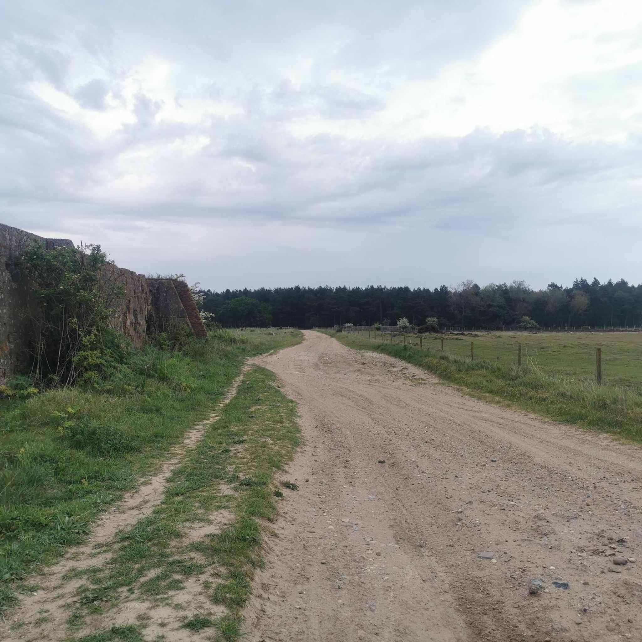
Unlike the map, this is unpaved dirt road, sandy in parts.
0
0
Frequently Asked Questions
How many gravel bike trails are available around Drinkstone?
There are currently 4 gravel bike trails listed around Drinkstone on komoot, offering a variety of experiences through the region's unique landscape. These include 2 moderate and 2 difficult routes.
What makes gravel biking in Drinkstone unique?
Gravel biking in Drinkstone is characterized by its rolling arable landscape of chalky clays and loams, offering varied terrain with undulating hills and open fields. The area features a network of winding lanes and paths, often bordered by hedges, providing a classic English countryside experience on unpaved or less-trafficked routes.
What do other gravel bikers say about the trails in Drinkstone?
The gravel bike trails around Drinkstone are highly rated by the komoot community, with an average score of 4.0 stars from several reviews. Over 60 gravel bikers have explored the varied terrain, often praising the scenic rural paths and the sense of discovery.
Are there challenging gravel bike routes near Drinkstone?
Yes, Drinkstone offers challenging gravel bike routes for experienced riders. For example, the Abbey Gate, Bury St Edmunds – Knettishall Heath Ponies loop from Thurston is a difficult 60.5-mile (97.4 km) trail that typically takes nearly 6 hours to complete, traversing varied rural landscapes.
What is a good moderate-difficulty gravel route to try in Drinkstone?
A great moderate-difficulty option is the Seven Tree Road – West Stow Anglo-Saxon Village loop from Natterer's Wood. This 29.8-mile (48.0 km) trail leads through open fields and past historical sites, and can typically be completed in about 3 hours.
Are the gravel bike trails around Drinkstone suitable for families?
While the listed komoot routes are rated moderate to difficult, the region around Drinkstone is known for its extensive network of footpaths and winding lanes. These can offer gentler sections suitable for families, though specific family-friendly gravel routes are not explicitly detailed in the current komoot selection. It's advisable to check individual route profiles for terrain and elevation before setting out with children.
What historical sites or landmarks can I see while gravel biking near Drinkstone?
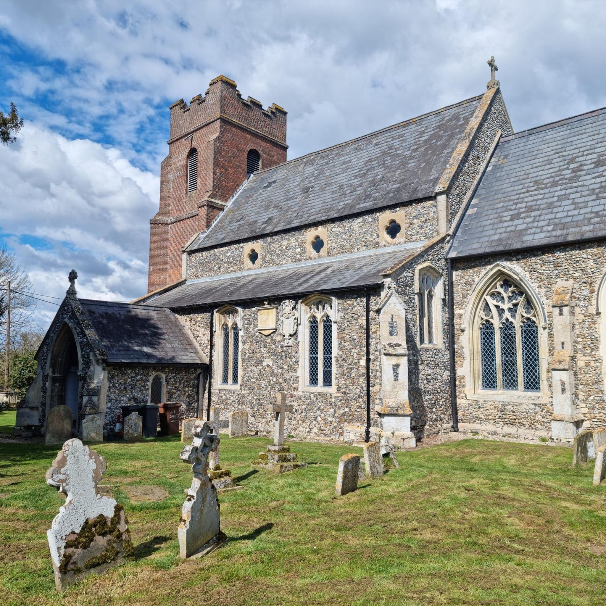
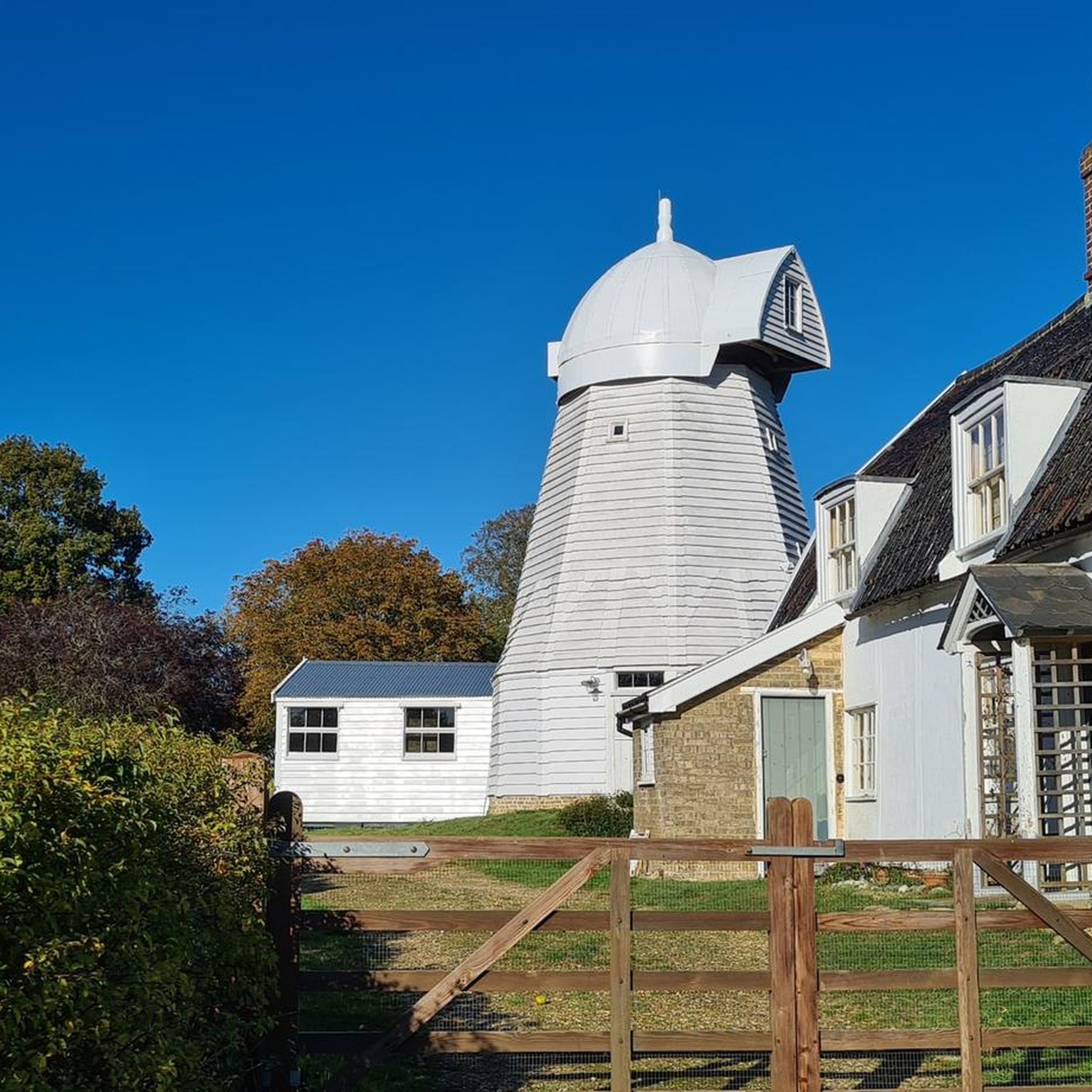
The Drinkstone area is rich in history. You can encounter sites like All Saints' Church, dating back to the 14th century, and the picturesque Drinkstone Windmills, one of which is Grade I listed. While not directly on all routes, these historical structures add to the charm of the landscape. Nearby attractions include the St Mary's Church, Woolpit and St. Saviour's Hospital, Bury St Edmunds.
Are there any cafes or pubs near the gravel bike trails in Drinkstone?
While the village of Drinkstone itself has seen the closure of smaller amenities like shops or pubs, the wider area around the trails offers options. For example, the Gravel Track by Livermere Lake – Abbey Gate, Bury St Edmunds loop from Thurston passes closer to Bury St Edmunds, which has various establishments. It's always a good idea to check opening times in advance.
What is the best season for gravel biking in Drinkstone?
The rolling arable landscape of Drinkstone can be enjoyed across multiple seasons. Spring and autumn offer pleasant temperatures and vibrant scenery. Summer provides longer daylight hours, though paths can be dusty. Winter rides are possible, but be prepared for potentially muddy conditions on unpaved sections due to the chalky clays and loams.
Are there any specific bridleways or unpaved paths to look out for?
Yes, the region is known for its network of winding lanes and paths, many of which are unpaved. The Lark Path Bridleway – Route 51 in Bury St Edmunds loop from Thurston specifically explores bridleways and rural lanes, offering extensive views of the surrounding farmland and a true gravel experience.
Where can I find parking for gravel biking routes starting near Drinkstone?
While specific parking details for routes directly in Drinkstone are not provided, many komoot tours, such as those starting from Thurston, typically indicate suitable parking areas near the trailhead. It's recommended to check the individual tour details on komoot for suggested starting points and parking information.
Are there any scenic viewpoints along the gravel trails in Drinkstone?
The gravel trails around Drinkstone traverse an open, rolling arable landscape, which naturally offers numerous scenic views across fields and countryside. The winding lanes bordered by hedges also create picturesque tunnels of greenery. Routes exploring bridleways, like the Lark Path, provide extensive views of the surrounding farmland.
Most popular attractions around Drinkstone

Get inspired with the komoot mobile app


Explore more
Browse the best Gravel rides in other regions.
