The best gravel rides around Ballincurry Upper
46
riders
5
rides
Gravel biking around Ballincurry Upper offers varied terrain across County Down, Northern Ireland, characterized by mountains, loughs, and forests. The region features the Mourne Mountains and Slieve Foy, providing challenging climbs and descents. Carlingford Lough and the Cloughmore Stone are prominent natural landmarks, offering scenic backdrops for routes. Kilbroney Park and Rostrevor Forest contain numerous trails suitable for gravel biking.
Best gravel bike trails around Ballincurry Upper
- The most popular gravel bike trail is The Old Oak Tree – Fairy…
Last updated: July 3, 2026
13
riders
25.4km
02:04
630m
630m
Hard gravel ride. Very good fitness required. Mostly paved surfaces. Suitable for all skill levels.
8
riders
18.9km
01:48
480m
480m
Hard gravel ride. Very good fitness required. Mostly paved surfaces. Suitable for all skill levels.

Sign up for free
12
riders
27.3km
01:40
360m
360m
Moderate gravel ride. Good fitness required. Mostly paved surfaces. Suitable for all skill levels.
6
riders
17.6km
01:35
520m
520m
Hard gravel ride. Very good fitness required. Mostly paved surfaces. Suitable for all skill levels.
7
riders
17.2km
01:18
380m
380m
Moderate gravel ride. Good fitness required. Mostly paved surfaces. Suitable for all skill levels.
Our route recommendations are based on thousands of hikes, rides, and runs completed by other people on komoot.
Start today with a free account
Your next adventure awaits.
Login or Signup

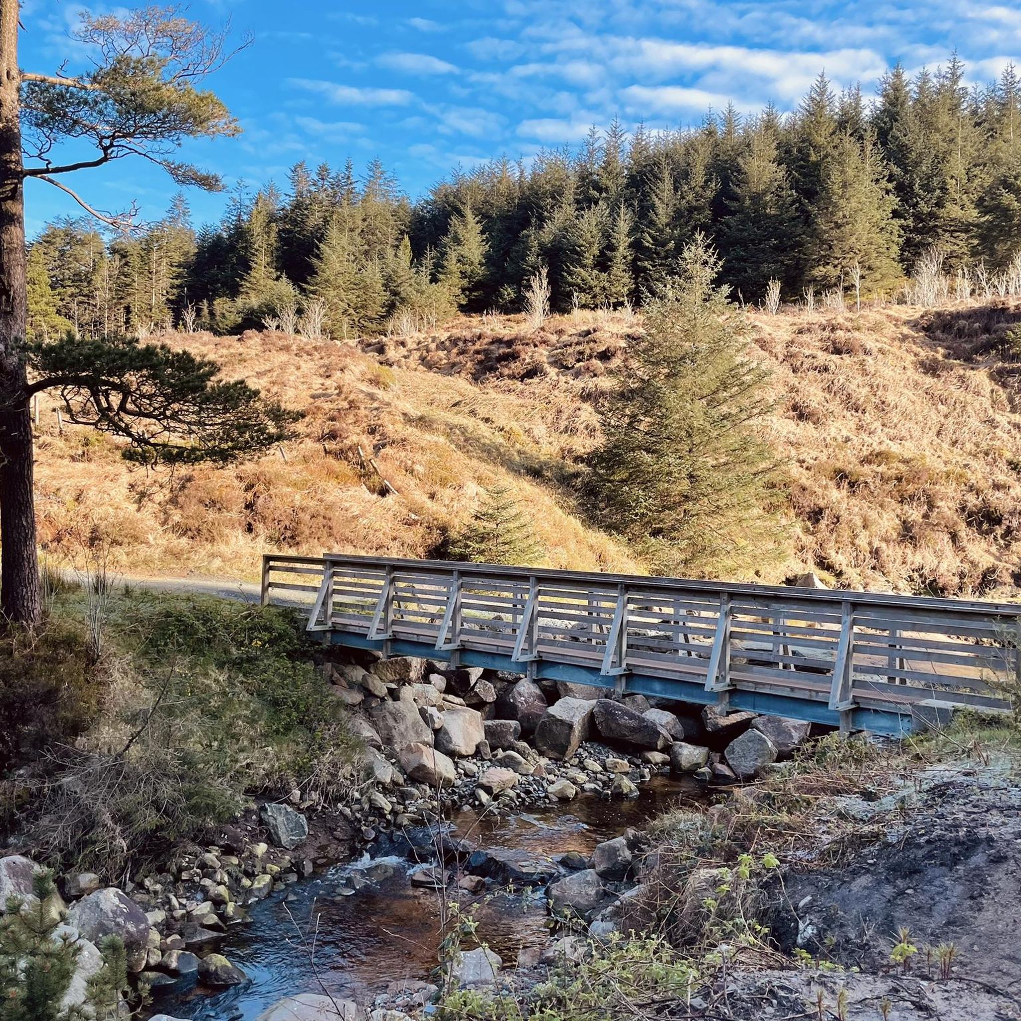


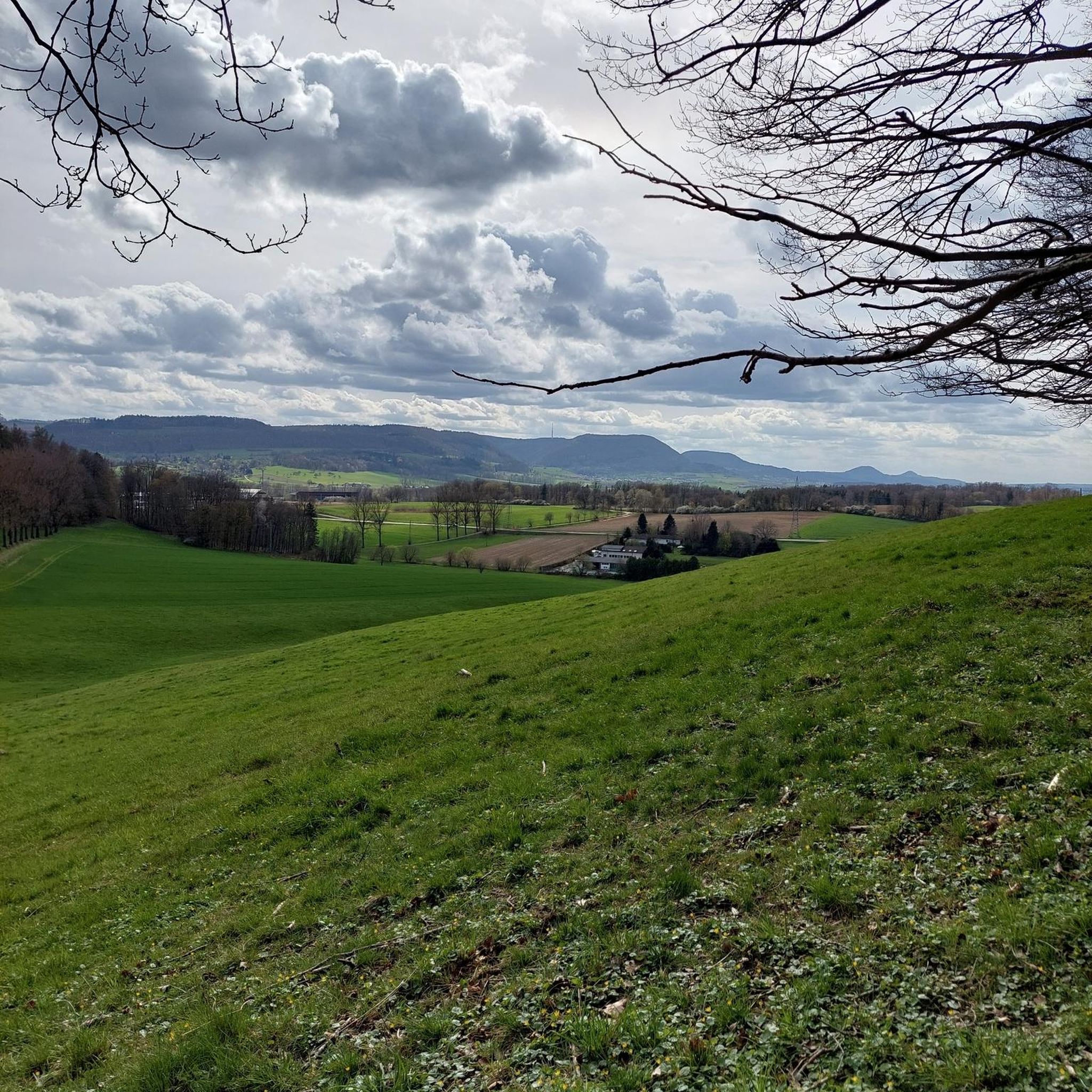
Tips from the Community

Added to the collection: komoot.com/de-de/collection/3600632/-naturdenkmaeler-besondere-baeume-und-weitere-schaetze-der-natur
0
0

The route winds gently uphill, offering small clearings through which you can catch a glimpse of the valley and the sparkling water in the distance. The air here is wonderfully fresh and filled with the surrounding forests. During the climb you can feel the peace of the forest, accompanied only by the hum of the tires on the asphalt and the chirping of the birds. Once you reach the top, you are rewarded with a magnificent panorama.
0
0
The well-signposted paths lead you through dense forests and offer impressive views of Carlingford Lough and the Mourne Mountains. The mountain bike routes in particular are varied and require both fitness and technique. However, some sections can be slippery in wet weather, so caution is advised. A highlight is the Cloughmore Stone, a huge boulder that was transported here during the last ice age. The approach there is steep, but the view makes up for the effort.
0
0
This impressive tree, which has stood here for centuries, is a testament to the region's rich natural history. The paths leading there lead through dense forest and offer a pleasant ride away from traffic. However, some sections are slippery in wet weather, so care should be taken. A particular highlight is the proximity to the Cloughmore Stone, a huge boulder that was transported here during the last Ice Age.
1
0
The well-signposted mountain bike trails take you through dense forests and offer breathtaking views of Carlingford Lough and the Mourne Mountains. The descent from the Cloughmore Stone, a huge boulder that was transported here during the last ice age, is a particular highlight. However, some sections are technical and require a certain level of riding technique. The trails can become slippery in wet weather, so caution is advised. Another plus point is the proximity to the charming village of Rostrevor, where you can relax in one of the cafes after the tour.
3
0

There’s heaps to do when you visit Kilbroney park so bring a picnic, kids, dogs, bikes, walking boots and enjoy the day. Start at the Visitor Centre and learn about the forest and extraordinary Cloughmore Stone. There are tennis courts, play area, sports fields, an arboretum, walking and bike trails in the forest. Fiddler’s Green was once used for local entertainment and festivals.
2
0

This steady easy going climb offers stunning panoramic views of the forest and the surrounding Mountains of Mourne. Catch your breath and take it all in.
2
0
This character is believed to be over 250 years old. It is a remnant of the old oak woodlands that clothed the lower slopes of the Mournes several centuries ago. Most of these oak woods were cleared during the 18th and 19th centuries for use in boat building, including the Titanic.
2
0
Frequently Asked Questions
How many gravel bike trails are available in Ballincurry Upper?
Ballincurry Upper offers 6 gravel bike trails, providing a variety of options for different skill levels. These routes traverse diverse terrain, including unpaved roads, fire roads, and dirt tracks through forests and along loughs.
What are the difficulty levels of gravel biking routes in Ballincurry Upper?
The gravel biking routes in Ballincurry Upper range from moderate to difficult. There are 3 moderate routes and 3 difficult routes, ensuring options for riders seeking both challenging climbs and scenic, less strenuous rides.
Are there any family-friendly gravel biking options in Ballincurry Upper?
While many routes in Ballincurry Upper are rated moderate to difficult, the region's varied terrain includes forest roads and multi-use trails that can be suitable for families with some cycling experience. For a more leisurely experience, the Carlingford Lough Greenway, though not explicitly listed as a gravel route here, offers a scenic, flatter option nearby.
What kind of scenery can I expect on the gravel bike trails around Ballincurry Upper?
You can expect stunning and varied scenery. Trails often lead through dense forests, offer impressive views of Carlingford Lough, and provide panoramic vistas of the Mourne Mountains. Notable natural features include the dramatic Cloughmore Stone and the commanding heights of Slieve Foye.
What are some interesting landmarks or natural features to see along the gravel bike trails?
Along the trails, you can encounter several significant natural features. Keep an eye out for the View of Carlingford Lough from Mourne AONB, and the expansive Rostrevor Forest. You might also spot the Slieve Foye Summit in the distance, offering breathtaking views.
Are there any loop routes for gravel biking in Ballincurry Upper?
Yes, all the gravel biking routes in Ballincurry Upper are loop trails, allowing you to start and finish at the same point. Examples include the moderate Fairy Glen – Climb by Rostrevor Forest loop from Rostrevor and the more challenging The Old Oak Tree – Fairy Glen loop from Rostrevor.
What do other gravel bikers say about the trails in Ballincurry Upper?
The gravel biking experience in Ballincurry Upper is highly rated by the komoot community, with an average score of 5.0 stars. Riders often praise the varied terrain, challenging climbs, and the stunning views of Carlingford Lough and the Mourne Mountains.
What is the longest gravel bike route in Ballincurry Upper?
The longest gravel bike route available is the Fairy Glen – Climb by Rostrevor Forest loop from Rostrevor, which spans approximately 26.8 km (16.6 miles) and typically takes around 1 hour and 39 minutes to complete.
What is the shortest gravel bike route in Ballincurry Upper?
The shortest gravel bike route is the Red Trail Section, Mourne AONB loop from Rostrevor, covering about 17.2 km (10.7 miles) and usually taking around 1 hour and 38 minutes.
Are there cafes or pubs near the gravel bike trails in Ballincurry Upper?
Yes, the charming village of Rostrevor, which serves as a common starting point for many trails, offers cafes where riders can relax and refuel after their tours. Kilbroney Park also has facilities like a visitor center and cafe.
What are the typical weather conditions for gravel biking in County Down?
County Down, like much of Northern Ireland, experiences variable weather. Trails can become technical and slippery in wet conditions, so it's advisable to check the forecast and prepare for changing weather, especially during autumn and winter months.
Is parking available at the trailheads in Ballincurry Upper?
Kilbroney Park, a central hub for many of the area's trails, offers parking facilities. The village of Rostrevor also provides convenient access points for many routes, suggesting parking options are available nearby.
Most popular attractions around Ballincurry Upper

Get inspired with the komoot mobile app


Explore more
Browse the best Gravel rides in other regions.
