The 12 Most Amazing Peaks around Winterlingen
Best mountain peaks around Winterlingen are found in the elevated landscape of the western Swabian Jura, a region characterized by its high plateau. While Winterlingen itself is situated on this plateau, the surrounding Zollernalb district offers several notable elevated points. These locations provide opportunities for hiking and appreciating the unique natural environment. The area features various summits and viewpoints that are popular for their scenic vistas.
Best mountain peaks around Winterlingen
- The most popular mountain peaks is Heersberg Summit,…
Last updated: October 10, 2026
Heersberg Summit
Highlight • Summit
Translated by Google •
Tip by

Cross Rock
Highlight • Viewpoint
Translated by Google •
Tip by

Sign up now to discover places like this
Get recommendations on the best single tracks, peaks, & plenty of other exciting outdoor places.
Castle Rock
Highlight • Viewpoint
Translated by Google •
Tip by

Radio relay station Burg
Highlight • Monument
In fact, a former directional radio station of the Bundeswehr. It was shut down in 2009.
You can find information about the station here: geschichtsspuren.de/forum/viewtopic.php?t=5583&start=60
Translated by Google •
Tip by

Bittelschießer Täle Start
Highlight • Canyon
Translated by Google •
Tip by

Sign up for free to discover even more peaks around Winterlingen.
Already have an account?
Start today with a free account
Your next adventure awaits.
Popular around Winterlingen
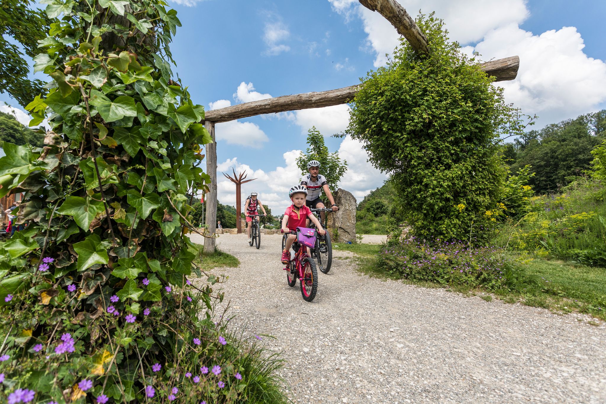
Family cycling – 9 day Tours in the Swabian Alb
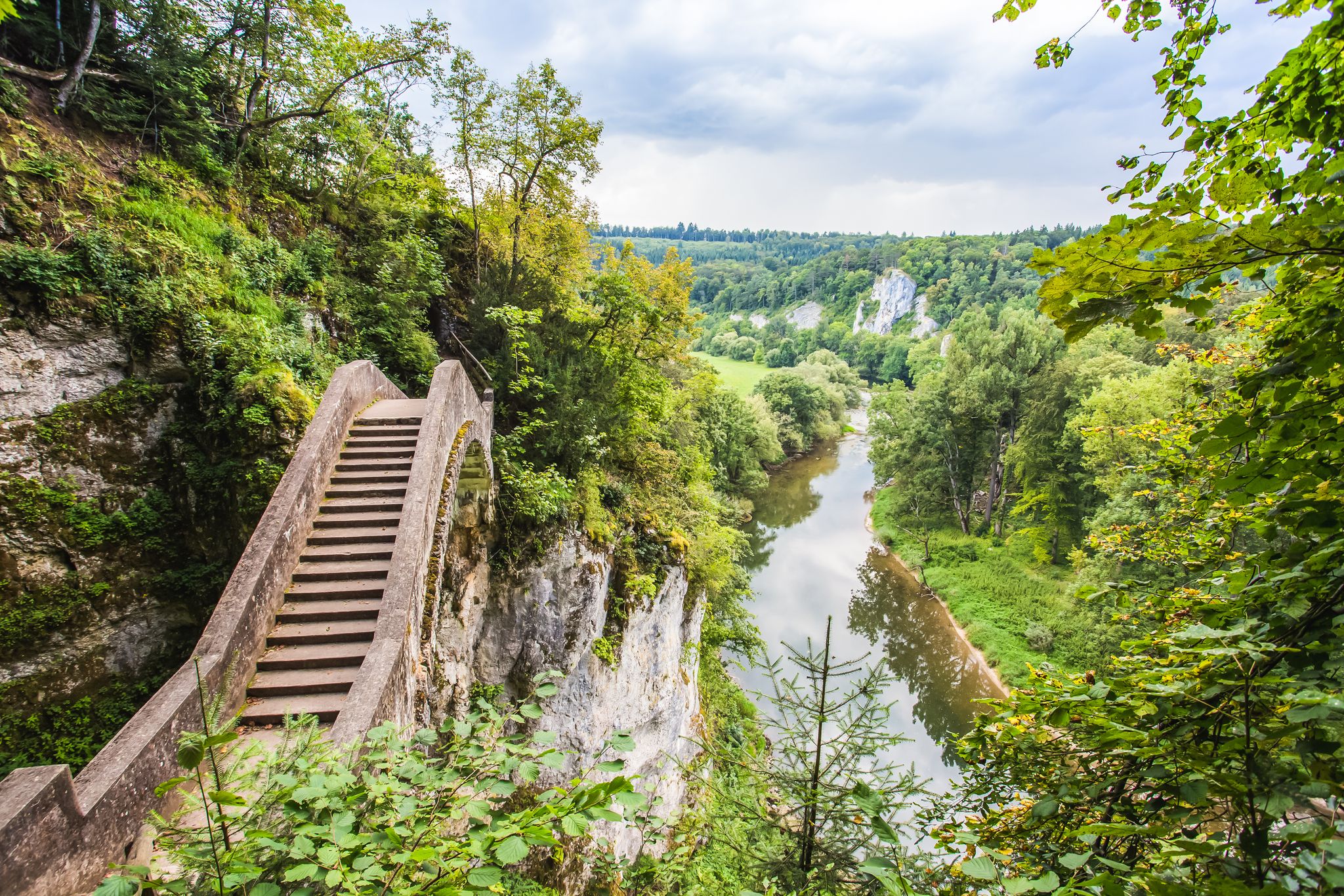
The Donau-Zollernalb-Weg in 10 stages – varied hikes through historic nature
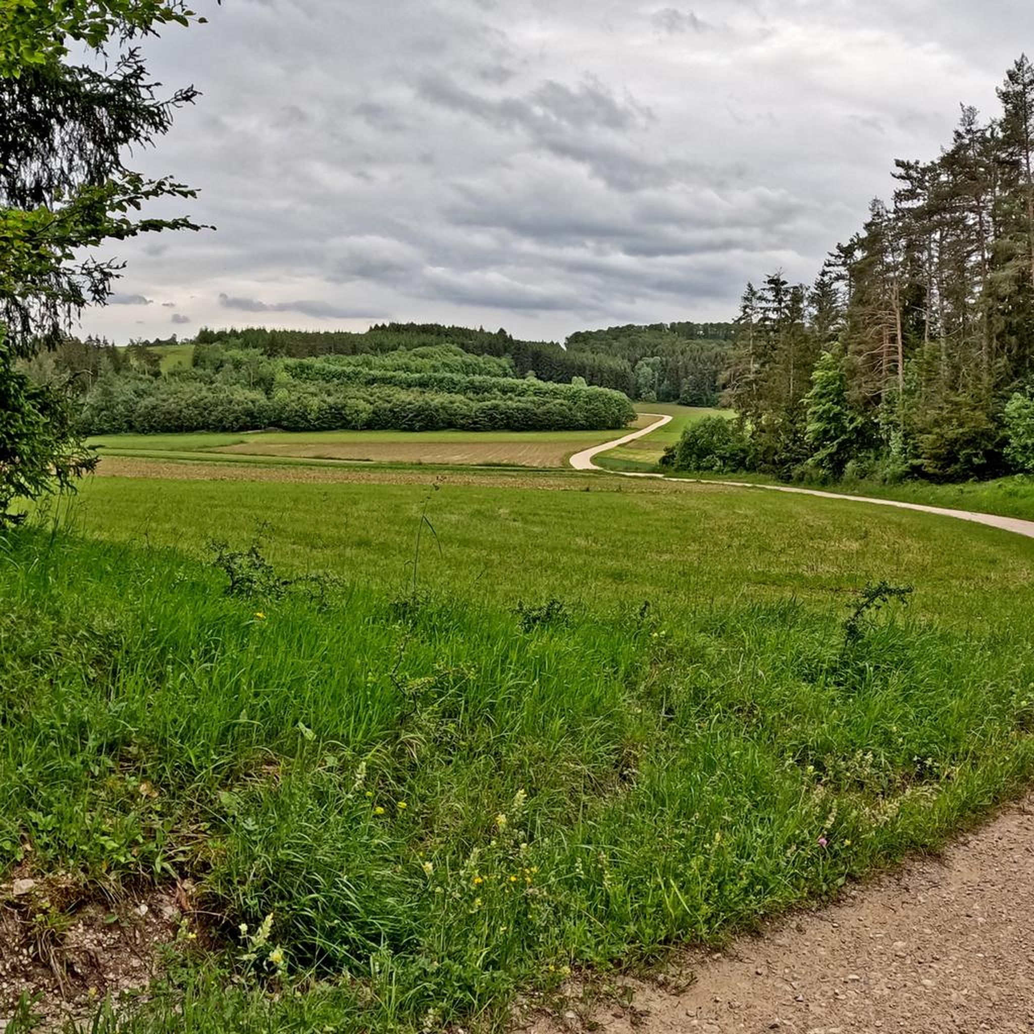
Cycling around Winterlingen
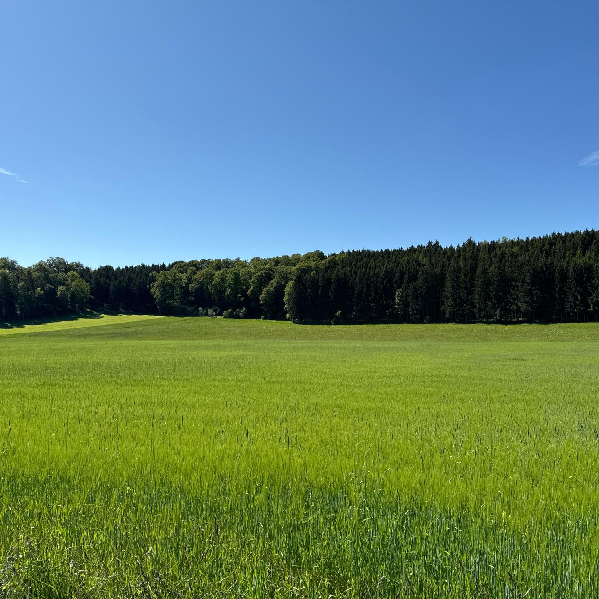
Hiking around Winterlingen
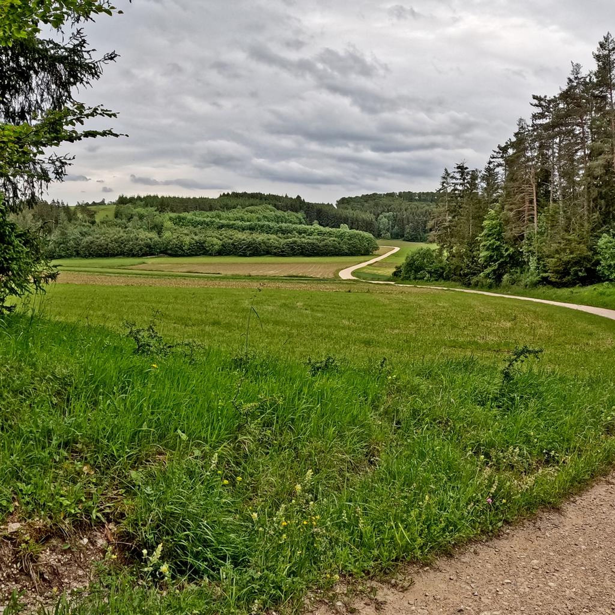
MTB Trails around Winterlingen
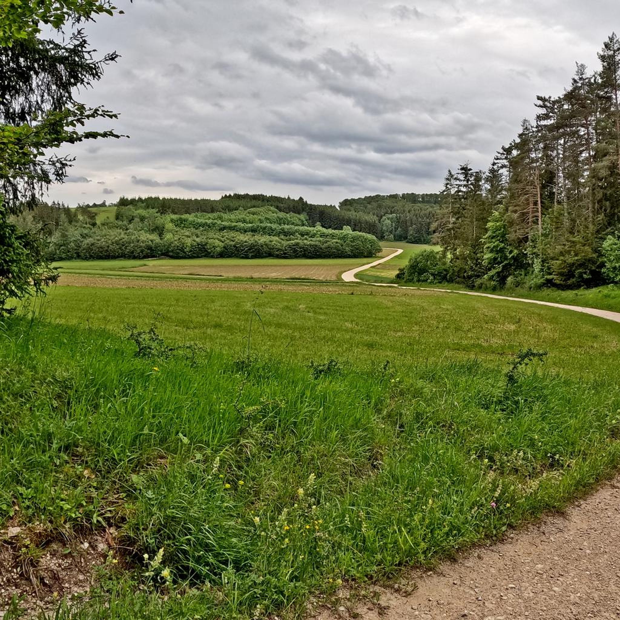
Road Cycling Routes around Winterlingen
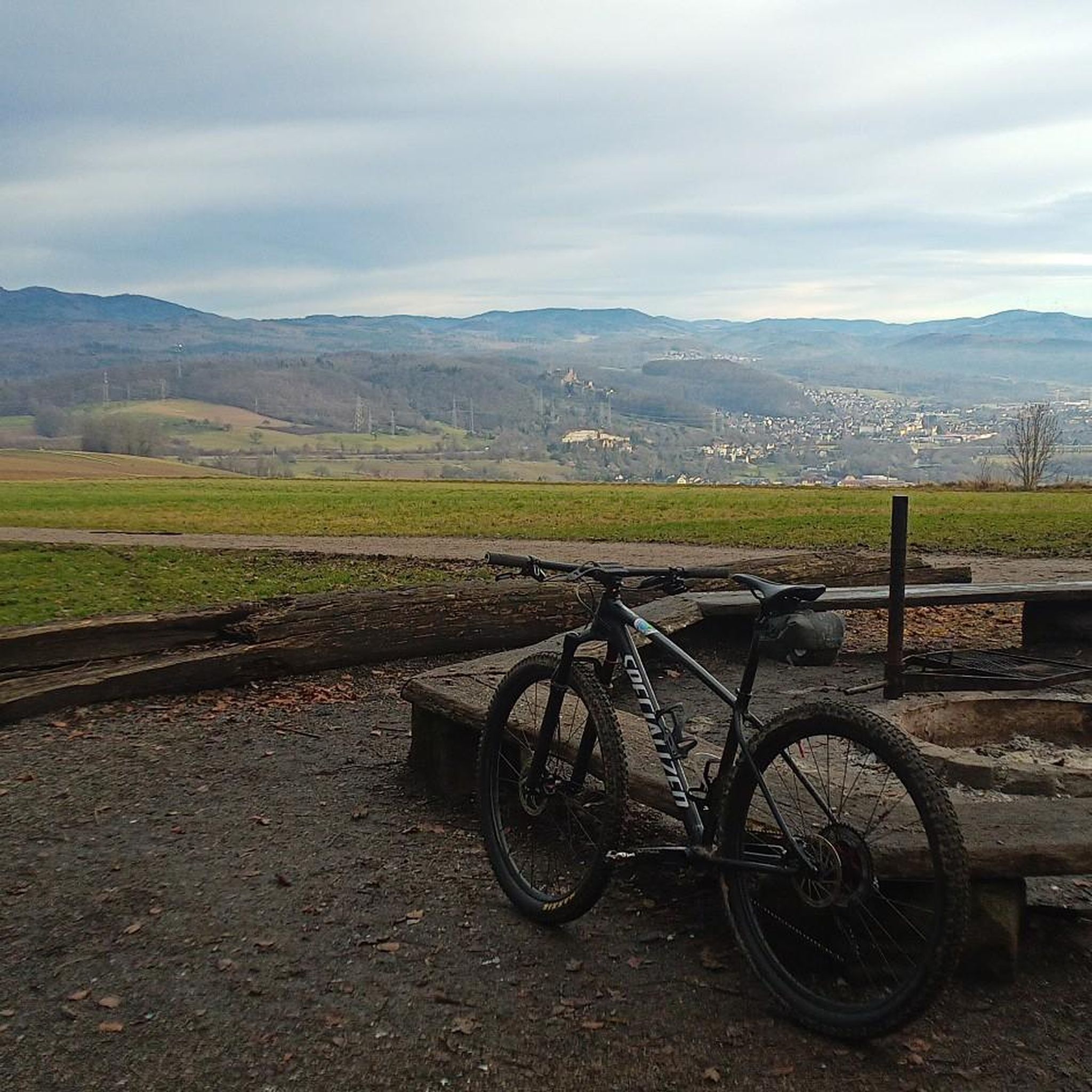
Gravel biking around Winterlingen
Running Trails around Winterlingen

Tips from the Community

The Bittelschießer Täle is a canyon-like, densely wooded breakthrough valley in the lower reaches of the Lauchert, west of Bingen in the Sigmaringen district of Baden-Württemberg. The canyon is only about 400 meters long, 20-60 meters wide and up to 30 meters high (another 24 meters of river sediments down to the rock floor). It is a scenically attractive part of the Flächenalb and also a geologically particularly significant Quaternary geopark. From the Middle Ages to the 19th century, the canyon and the Lauchert were also economically and as a dominion significant. The narrow valley is just as popular with hikers and cyclists from far and wide as it is for walks and recreation for the residents of the surrounding towns. Until the Mindel ice age (~1 million years ago), the Lauchert used its current riverbed, but flowed into the then Upper Danube about five kilometers earlier near "Rückhau", between Hitzkofen and Heudorf. At that time, the Upper Danube followed a more northerly route from Scheer towards Riedlingen. At the end of the Mindel ice age, about 900,000 years ago, a primeval Danube broke through a small pass near "Bahnhof Hanfertal" (now part of Sigmaringen-Nord). It shortened its route to Riedlingen by using the Lauchert's riverbed, and then continued on its then more northerly route to Riedlingen. In the middle Riss ice age, about 200,000 years ago, glacial masses from the Alpine Rhine glacier advanced northwards in the Sigmaringen area in two cold phases over the then Upper Danube. The glacial fan reached its maximum advance in its second cold phase ("Vilsingen-Stand II", location still south of the present-day Danube) near "Hertenstein, Lauchert", Billafingen, Langenenslingen, and Riedlingen. The glacial sediments were so powerful that the Upper Danube and the Lauchert were dammed up. The backwater of the Upper Danube reached at least as far as Tuttlingen, and that of the Lauchert probably as far as Hausen an der Lauchert. The Lauchert valley between "Hanfertal" station and Hitzkofen, which was used by the Upper Danube before the Riss ice age and further deepened by it, and then completely blocked by glacial moraine debris during glacial advances, was again cleared of glacial debris by the Lauchert and used – with one exception: A large mass limestone rock from the lower bank limestone formation, which stood in the straight path, was not bypassed as it had been before (as, incidentally, was also the case with a primeval Danube), .... Source: https://de.wikipedia.org/wiki/Bittelschie%C3%9Fer_T%C3%A4le
1
0

Beautiful hiking trail in the valley.
6
0
The Kreuzfelsen (Cross Rock) is located on the Donaufelsengarten (Danube Rock Garden) hiking trail, which is part of the Sigmaringen premium hiking trails "Donaufelsenläufe" (Danube Rock Runs). From here there is a great view of the Danube valley.
5
0

I was in the Bundeswehr for a long time and even went in a few times. It's always a highlight for me when I'm up here. I had a really great time at the "Burg" station.
1
0

Beautiful viewpoint above Gutenstein. On the plateau there is a memorial cross for the deceased firefighters.
1
0
Summit cross in memory of the deceased firefighters. Great view of the Danube, the Danube valley and Gutenstein.
1
0
Above the Donaufelsengarten hiking car park. On the plateau there is a memorial cross to the deceased firefighters. There is a very beautiful view of the Danube, the Danube valley and Dietfurt.
1
0
There is a memorial cross for the deceased firefighters on the Kreuzfelsen. From up there you have a wonderful view of the Danube, the Danube valley and Gutenstein.
5
0
Frequently Asked Questions
Which mountain peaks offer the best panoramic views around Winterlingen?
For expansive views, consider the Castle Rock, which features an observation tower at almost 970 meters, offering 360-degree vistas that can reach the Swiss Alps on clear days. The Lemberg, the highest peak in the Swabian Jura, also provides panoramic views from its observation tower, often extending to the Alps.
Are there any family-friendly mountain peaks or viewpoints near Winterlingen?
Yes, Kreuzbühl is categorized as family-friendly, offering a beautiful landscape for exploration. While not explicitly listed as family-friendly, many of the trails leading to viewpoints like Cross Rock are accessible for families looking for a scenic outing.
What kind of natural features can I expect to see on the peaks around Winterlingen?
The region is part of the Swabian Jura, known for its high plateau and unique natural environment. You can find extensive juniper heath at Heersberg Summit. Other peaks offer rocky terrain, forests, and stunning views of valleys like the Danube from Cross Rock.
Are there historical sites or unique landmarks on the peaks near Winterlingen?
Yes, the Radio relay station Burg is a former Bundeswehr radio relay station, offering a glimpse into Cold War history. At Heersberg Summit, you can find a memorial stone commemorating the 'Muliweg' and the Gentian division, along with remains of Heersberg Castle.
What outdoor activities can I do near the mountain peaks around Winterlingen?
Beyond hiking to the peaks, the area offers various outdoor activities. You can explore gravel biking routes like the 'Great Danube cycle path section' or the 'Schmeietal Valley Trail' from the Gravel biking around Winterlingen guide. For cycling, routes like 'Straßberg Castle – Eyach River loop' are available in the Cycling around Winterlingen guide.
Are there easy hiking trails near Winterlingen's peaks?
Yes, there are several easy hiking options. For example, you can find trails like 'Hülbe Pond in Winterlingen – Schelmenburg Barbecue Area loop' or 'Fensterstollen Büttnau loop' in the Easy hikes around Winterlingen guide. These routes are generally shorter and less challenging, suitable for a relaxed walk.
What do visitors enjoy most about the mountain peaks around Winterlingen?
Visitors frequently appreciate the stunning views, especially from spots like Cross Rock with its Danube vistas, and the panoramic outlooks from Castle Rock. The natural beauty of the juniper heath at Heersberg Summit and the peaceful atmosphere of places like Kreuzbühl are also highly valued.
Which peaks in the broader Swabian Jura region are worth visiting for their elevation and views?
Beyond the immediate vicinity of Winterlingen, the broader Swabian Jura offers several notable elevated points. The Lemberg, at 1,015.3 m, is the highest peak in the Swabian Jura with an observation tower. Other significant peaks include Hundsrücken (931.4 m) near Bisingen, offering views of Hohenzollern Castle, and Lochenstein (963 m) with its expansive vistas and summit cross.
Is there a peak over 1,000 meters in the region around Winterlingen?
While Winterlingen itself is on a high plateau, the broader Heuberg region of the Swabian Jura includes peaks over 1,000 meters. The Rainen, at 1,006 meters, is one such example, offering a peaceful, wooded elevation for hiking and experiencing nature.
What is the terrain like on the trails leading to these peaks?
The terrain varies. For instance, the Heersberg Summit features extensive juniper heath on its high plateau, with mostly rocky terrain on its forested steep slopes. Many trails in the Swabian Jura involve ascents and descents characteristic of a high plateau landscape.
Are there any specific trails or routes that incorporate multiple viewpoints or peaks?
The Heersberg with its juniper heath is part of the 'Felsenmeersteig' eaves walk, which offers views of the neighboring Schalksburg. While specific multi-peak routes aren't detailed, many trails in the region are designed to connect various scenic points and elevated areas, providing a comprehensive experience of the landscape.
Most popular routes around Winterlingen
Most popular attractions around Winterlingen

Get inspired with the komoot mobile app


Explore more
See even more amazing summits around Winterlingen with these guides:
