The best gravel rides around Dunchurch
4.9
(6)
46
riders
2
rides
Gravel biking around Dunchurch offers a network of trails through varied landscapes. The region features routes that traverse woodlands, former railway lines converted into greenways, and paths around reservoir areas. Elevation gains are generally moderate, providing a mix of flat sections and rolling terrain suitable for gravel bikes. The area provides accessible routes for different skill levels, from easy paths to more challenging distances.
Best gravel bike trails around Dunchurch
- The most popular gravel bike trail is Wappenbury Wood Bridleway…
Last updated: August 12, 2026
4.5
(2)
6
riders
24.4km
01:33
150m
150m
Moderate gravel ride. Good fitness required. Mostly paved surfaces. Suitable for all skill levels.
5.0
(2)
3
riders
14.4km
00:56
60m
60m
Easy gravel ride. Great for any fitness level. Mostly paved surfaces. Suitable for all skill levels.

Sign up for free
5.0
(1)
6
riders
33.7km
02:02
200m
200m
Moderate gravel ride. Good fitness required. Mostly paved surfaces. Suitable for all skill levels.
Our route recommendations are based on thousands of hikes, rides, and runs completed by other people on komoot.
Start today with a free account
Your next adventure awaits.
Login or Signup

Tips from the Community

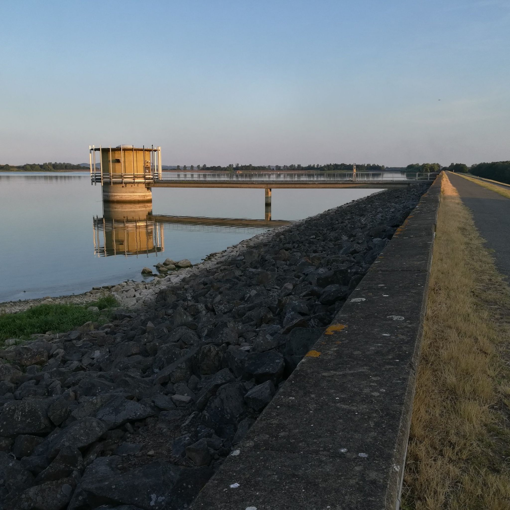
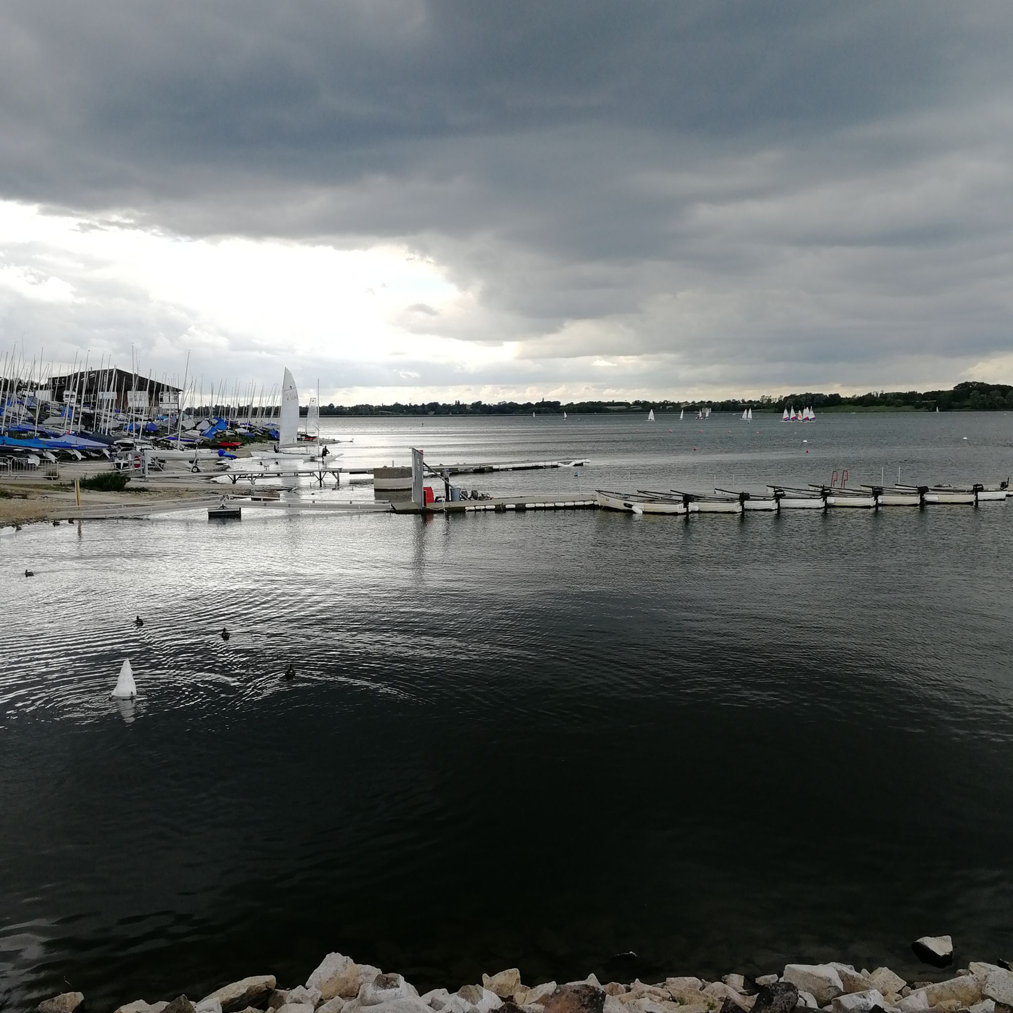
It’s a really nice place to get to and have a café ride. It’s nice to just ride around the reservoir. 
0
0

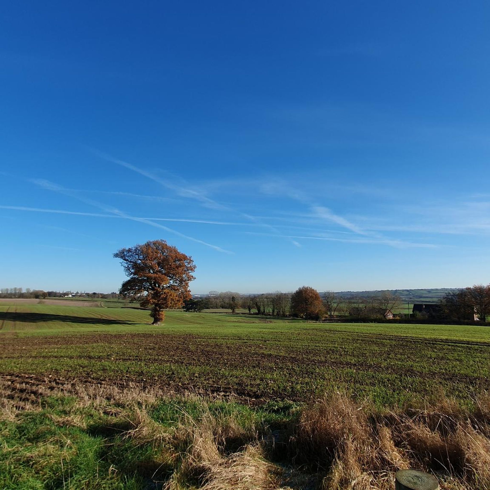
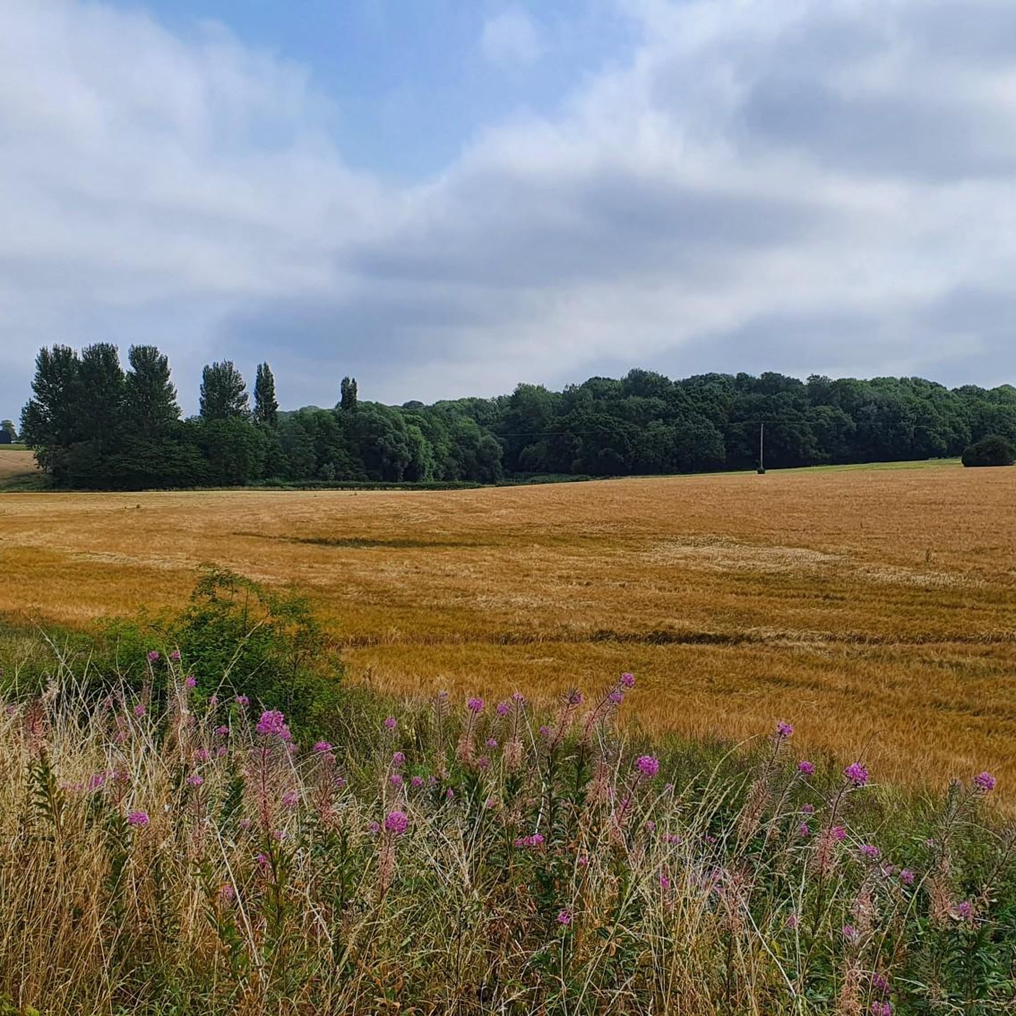
Bridleway that starts on a private lane then a gravel track through the woods followed by open fields before returning back onto quiet country roads between Eathorpe and Wappenbury.
0
0

Local pub with a tex mex twist. Opening hours: Tuesday 5–10pm Wednesday 5–10pm Thursday 5–10pm Friday 5–10pm Saturday 4–10:30pm Sunday 4–10pm Monday Closed
1
0
Good quality single-track with grass and hard pack.
1
0

Bit muddy and slippery in places in October
0
0

You get on here at bottom of the hill going towards Draycote.
1
0

The church of ST. ESPRIT is situated on the west side of the Southam-Coventry road at the junction of the River Leam with the Itchen and stands in a small churchyard near the centre of the village. It was almost entirely rebuilt in the gothic style in 1871 and all that remains of the earlier church is the lower stage of the tower and the south arcade, both of the mid-14th century, together with an early-13th-century south doorway. The present church consists of a chancel, nave, north and south aisles, west tower, organ-chamber, and south porch. It is built of squared and coursed limestone with sandstone dressings and all the roofs are tiled. The lower part of the east wall of the chancel still retains some of the earlier walling of roughly coursed rubble with red sandstone dressings. It is lighted on the east by a pointed tracery window of three ogee trefoil lights and by a two-light on the south, both with hood-moulds. The east wall of the south aisle has a single trefoil light; the south side a three-light and a single light with trefoil heads; the west a similar window, but with two lights. The porch has a pointed entrance arch, the mouldings continued down to splayed stops. The 13th-century doorway has a pointed arch of two orders, the inner a splay and the outer a large roll-moulding, supported on detached shafts with moulded capitals and splayed impost, the outer jamb is chamfered, with a moulded stop below the impost moulding. The tower is in three stages without buttresses and it diminishes with a splayed offset to the second stage. From half way up the second stage it has been entirely rebuilt in a light-coloured sandstone ashlar. The original walls are built of coursed limestone rubble with red sandstone dressings and, except on the north side, bands of red sandstone in the middle of the first stage and again at the base of the second stage. The west face has a narrow trefoil ogee-headed window in the first stage, and in the second a narrow lancet to the ringing-chamber. The belfry has windows with pointed arches on each face, of two trefoil lights, labels with head-stops, and a string-course at the sill level. Above is a plain battlemented parapet on a moulded string-course. A modern lobby has been built at the junction of the tower with the south aisle to give an external entrance to the tower. The chancel (18 ft. 6 in. by 14 ft.) has a tiled floor, a collar-beam roof, plastered walls, and two steps to the altar. The east window has a pointed moulded rear-arch supported on shafts with moulded capitals and bases and a hood-mould with foliated stops. On the north side there is an arched opening into the organchamber. The nave (31 ft. 7 in. by 19 ft. 6 in.) has a hammerbeam roof and a tiled floor. The 14th-century arcade has two bays of pointed arches of two splayed orders supported on octagonal pillars with moulded capitals and bases, the responds repeat the arch splays and have similar moulded capitals and bases. The north arcade is a copy of the south but with more elaborately moulded capitals. Above the apex of each arch there is a pointed two-light clearstory window with widely splayed jambs and sills. The tower arch has been replaced with a modern low segmental one of two splayed orders. The chancel arch is pointed, of three splayed orders supported on three attached shafts with foliated capitals and splayed bases. The north and south aisles (31 ft. 10 in. by 8 ft. 6 in.) have lean-to roofs, tiled floors, and windows with reararches of three trefoils supported on shafts with moulded capitals and bases. At the eastern end of the south wall a badly mutilated 14th-century piscina has been built in. The tower (10 ft. 9 in. by 7 ft.) has been strengthened by increasing the thickness of the north and south walls and carrying over a segmental vault. The pulpit, placed on the south side of the chancel arch, is octagonal, of stone and coloured marble with open traceried panels. The font is also of stone with an octagonal basin, sunk trefoil panels, and stands on an octagonal coloured marble stem moulded at the base. The communion plate is modern except for one large and one small silver paten with hall mark 1773. There are three bells (fn. 47) by Hugh Watts, dated 1616, 1623, and 1624. The registers begin in 1660.
0
0
The church of ST. JOHN THE BAPTIST stands on a slight mound in the middle of a small churchyard, with a farmhouse on the west and Wappenbury Hall, which has been entirely rebuilt, to the east. The church was built in the 13th century and then consisted of chancel and nave. Early in the 14th century a west tower was built on the south side of the nave, together with a south aisle and porch. The nave and south aisle were completely 'restored' c. 1825 (fn. 61) but were pulled down in 1886 and rebuilt in the character of 14th-century work, and at the same time a south porch and transept were added and the whole church re-roofed. The east wall of the chancel has been almost entirely refaced and the string-course, plinth, and the coping and cross finial of the gable renewed. It has three lancet windows with the jambs and sills restored. (fn. 62) Over these windows there is a continuous hood-moulding round each arch with head-stops at the two ends. The north side is built of red sandstone rubble patched with small limestone rubble. It has three lancet windows of one splay, a moulded string-course at sill level and a plinth of one splay. The south side is similar but has a re-set doorway at the west end with a trefoil head of two splays, (fn. 63) the string-course at sill level carried over it as a pointed arch. The walls of the south aisle, transept and porch are modern, built of a reddish sandstone in squared and coursed masonry. The transept has a gable with a chimney as a finial and is lighted by a two-light tracery window with a hoodmoulding on the south, and a single trefoil-headed light on the east. Between the transept and the porch the aisle is lighted by three lancets placed close together. The porch has angle buttresses and a pointed entrance arch and an ogee-headed window on either side, that on the west being an old one re-used. Below the wallplate some old moulded stones have been used as a cornice. The south door has a pointed arch and mouldings of a 13th-century character. The north side of the nave has two single trefoil lights with pointed arches and between them a plain two-light tracery window. West of these is a doorway, projected slightly from the wall as a gable with low buttresses to give the appearance of a porch. The doorway has a moulded trefoil head and a pointed arch formed by a hoodmoulding. The tower, which is divided by string-courses into three stages, is built of red sandstone ashlar, supported by diagonal buttresses at each corner, those on the east side coming down, the one into the nave, the other into the south porch. At the base of the tower is a moulded plinth, restored, but with some remains of the original. It has an embattled parapet, with a small turret corbelled out at the south-west angle, probably to balance the stair turret. Below the parapet at each corner are grotesque gargoyles. At the south-east angle there is a turret corbelled out for the spiral tower staircase, the corbel carved with a grotesque figure of a man lying on his chest, his chin supported on his hands. The stair is lit by a chamfered loop-light in the lower stage. The belfry windows on the north, south, and west are of two trefoil lights, of two chamfered orders, with pointed arches containing pierced cusping, and a labelmoulding above; that on the east side has three trefoil lights, with a rather flat four-centred arch and a labelmoulding. Beneath the window in the second stage is a chamfered window with a trefoil head under a square label-moulding, and near the south-east angle there is a similar light. On the south side of the lower stage is a window of two trefoil lights set in deep splayed reveals with a pointed arch, cusped piercing, and a label-moulding, with head-stops. On the east face above the modern aisle roof is the line of the lowpitched earlier roof. The chancel (30 ft. 10 in. by 16 ft.) has a modern tiled floor, three steps from the nave, two to the altar rails, and two to the modern altar, and a modern trussed rafter roof. The three east lancet windows have trefoil rear-arches, springing from capitals, and above them a label-moulding with head-stops. The three lancet windows in each side wall have deep splayed recesses with segmental-pointed arches, and above them trefoil heads. At sill level there is a moulded string-course, which is carried over the slightly cambered rear-arch of the south door as a hood-moulding. Between the two east windows on the south side is a late-13th-century piscina, the head trefoiled in two delicately moulded orders springing from two shafts in each jamb, with moulded capitals and bases; the bowl is modern. The recess is unusually wide for a piscina, being 4 ft. 6 in. across. The nave (43 ft. 9 in. by 20 ft.) is entirely modern, with a tile and wood-block floor and a roof matchboarded in the form of a wagon vault. The north door has a segmental rear-arch with hood-mouldings stopped on scrolls. All the windows have shouldered rear arches. The chancel arch of two orders is also modern, and on the south side of it is a modern moulded niche with a bracket. The nave arcade is in three bays in line with the tower arch, which forms a fourth; the east bay opens into the modern transept, used as a vestry and organ chamber. The arches are pointed, in two splayed orders springing from octagonal pillars with moulded capitals, the splayed bases being modern. The stone-work of the capitals and pillars has been re-dressed. The pointed tower arch is lofty and of two splayed orders supported on half-octagon responds with moulded capitals and bases. On either side of the arch are corbels carved like animals' heads, now used to support the modern roof. As the modern south aisle (20 ft. 6 in. by 9 ft. 2 in.) is lower than the original the upper part of the arch to the tower has been blocked and a modern depressed four-centred arch inserted, springing from the original moulded capitals; that on the south is carved with the face of an old man with a beard. Traces of the earlier arch can be seen under the apex of the modern lean-to roof. The windows have stop-chamfered recesses with flat oak lintels. The tower (9 ft. 6 in. by 9 ft. 6 in.) has a modern tiled floor with three steps down into the aisle. Placed on the top step is a modern plain tapered circular stone font. The window in the south wall has a splayed recess with a stop-chamfered rear-arch. In the southeast corner there is a narrow doorway to the tower staircase, with a four-centred head. Standing against the west wall are two 13th-century coffin lids, one with a foliated cross, and the other, belonging to a child, with a plain cross; above are several 18th- and 19thcentury mural tablets. On the north side is an old plain wooden chest of uncertain date, bound with iron straps. There are three bells: (fn. 64) (1) by Brian Eldridge, 1657; (2) by Newcombe, c. 1580; (3) by Hugh Watts, 1629. The registers start in 1753. In the churchyard opposite the south door to the chancel is the square base, on three octagonal steps, of a 14th-century cross. The angles of the base are carved with a male head and shoulders in deep relief, three of them, however, are badly mutilated. Let into the base is a short length of square-moulded shaft.
0
0
Frequently Asked Questions
How many gravel bike trails are available around Dunchurch?
There are 8 gravel bike trails around Dunchurch that you can explore on komoot. These routes offer a variety of experiences, from easy paths to more challenging distances.
Are there any easy gravel bike routes suitable for beginners in Dunchurch?
Yes, Dunchurch offers several accessible routes. For a relatively flat and easy gravel experience, consider the Pathway in Park – Great Central Walk in Rugby loop from Rugby. This 9.9-mile (16.0 km) path follows a section of the Great Central Walk and is rated as easy.
Can I find family-friendly gravel biking options near Dunchurch?
Many of the routes around Dunchurch are suitable for families, especially those with moderate elevation gains and well-maintained surfaces. The Pathway in Park – Great Central Walk in Rugby loop from Rugby is a good option due to its easy difficulty and relatively flat terrain, making it enjoyable for various skill levels.
Are there any circular gravel bike routes in the Dunchurch area?
Yes, most of the gravel routes around Dunchurch are designed as loops, allowing you to start and finish in the same location. For example, the popular Wappenbury Wood Bridleway – Wappenbury Woods loop from Bubbenhall is a 15.2-mile (24.4 km) circular trail through woodlands.
What are some longer or more advanced gravel routes near Dunchurch?
For a longer ride, consider the Start of the Greenway – Draycote Water loop from Rugby. This route spans 34.8 miles (56.0 km) and includes sections around Draycote Water and greenways, offering a moderate challenge with more distance.
What kind of scenery can I expect on gravel bike trails around Dunchurch?
The gravel trails around Dunchurch offer varied scenery, including woodlands, former railway lines converted into greenways, and paths around reservoir areas. You'll experience a mix of natural landscapes and open views, particularly around places like Draycote Water.
What are some interesting landmarks or natural attractions to see along the gravel routes?
Many routes pass by or near notable attractions. You can cycle past the expansive Draycote Water, a significant lake and natural monument. Other highlights in the broader area include Daventry Country Park Reservoir and the scenic Cracks Hill Viewpoint, offering panoramic views.
What is the best time of year for gravel biking in Dunchurch?
The Dunchurch area is generally enjoyable for gravel biking throughout much of the year. Spring and autumn offer pleasant temperatures and beautiful foliage. Summer provides longer daylight hours, while winter rides can be invigorating, though some paths might be muddier or require more appropriate gear.
Are there any gravel routes that include pub stops or places to eat?
While specific pub stops are not detailed for each route, Dunchurch and nearby towns like Rugby offer various pubs and cafes. Many routes pass through or near these settlements, making it easy to plan a refreshment stop. It's always a good idea to check local establishments' opening times beforehand.
What do other gravel bikers enjoy most about the Dunchurch trails?
The gravel biking routes around Dunchurch are highly rated by the komoot community, with an average score of 4.9 stars from 18 reviews. Riders frequently praise the varied terrain, the peaceful woodland sections, and the well-maintained greenway paths that make for an enjoyable and accessible gravel experience.
Where can I find parking for gravel biking in Dunchurch?
Parking is generally available in Dunchurch village itself, as well as at trailheads or nearby attractions like Draycote Water. For routes starting from specific towns like Rugby or Bubbenhall, public parking facilities are typically available. Always check local signage for parking restrictions and fees.
Are there any routes that explore the Draycote Water area?
Yes, the Start of the Greenway – Draycote Water loop from Cawston is an excellent option. This 21.0-mile (33.7 km) trail leads through reservoir paths and greenway sections, offering scenic views of Draycote Water. Another option is the Draycote Water – Draycote Water loop from Rugby, which is 19.9 miles (31.9 km) long.
Most popular routes around Dunchurch
Most popular attractions around Dunchurch

Get inspired with the komoot mobile app


Explore more
Browse the best Gravel rides in other regions.
