The best gravel rides around Bentley CP
4.0
(1)
7
riders
3
rides
Gravel biking around Bentley CP offers routes through a landscape characterized by rural roads, canal paths, and scattered woodlands. The terrain generally features gentle undulations rather than significant climbs, making it accessible for various skill levels. This area provides a mix of open countryside and more sheltered sections, often following historical waterways or quiet lanes. Natural features like Shustoke Reservoir and the Tame Valley Wetlands also contribute to varied cycling experiences.
Best gravel bike trails around Bentley CP
- The most…
Last updated: May 22, 2026
4.0
(1)
2
riders
28.2km
01:52
90m
90m
Easy gravel ride. Great for any fitness level. Mostly paved surfaces. Suitable for all skill levels.
2
riders
26.0km
01:37
120m
120m
Easy gravel ride. Great for any fitness level. Mostly paved surfaces. Suitable for all skill levels.

Sign up for free
1
riders
67.2km
04:07
460m
460m
Hard gravel ride. Very good fitness required. Mostly paved surfaces. Suitable for all skill levels.
Our route recommendations are based on thousands of hikes, rides, and runs completed by other people on komoot.
Start today with a free account
Your next adventure awaits.
Login or Signup
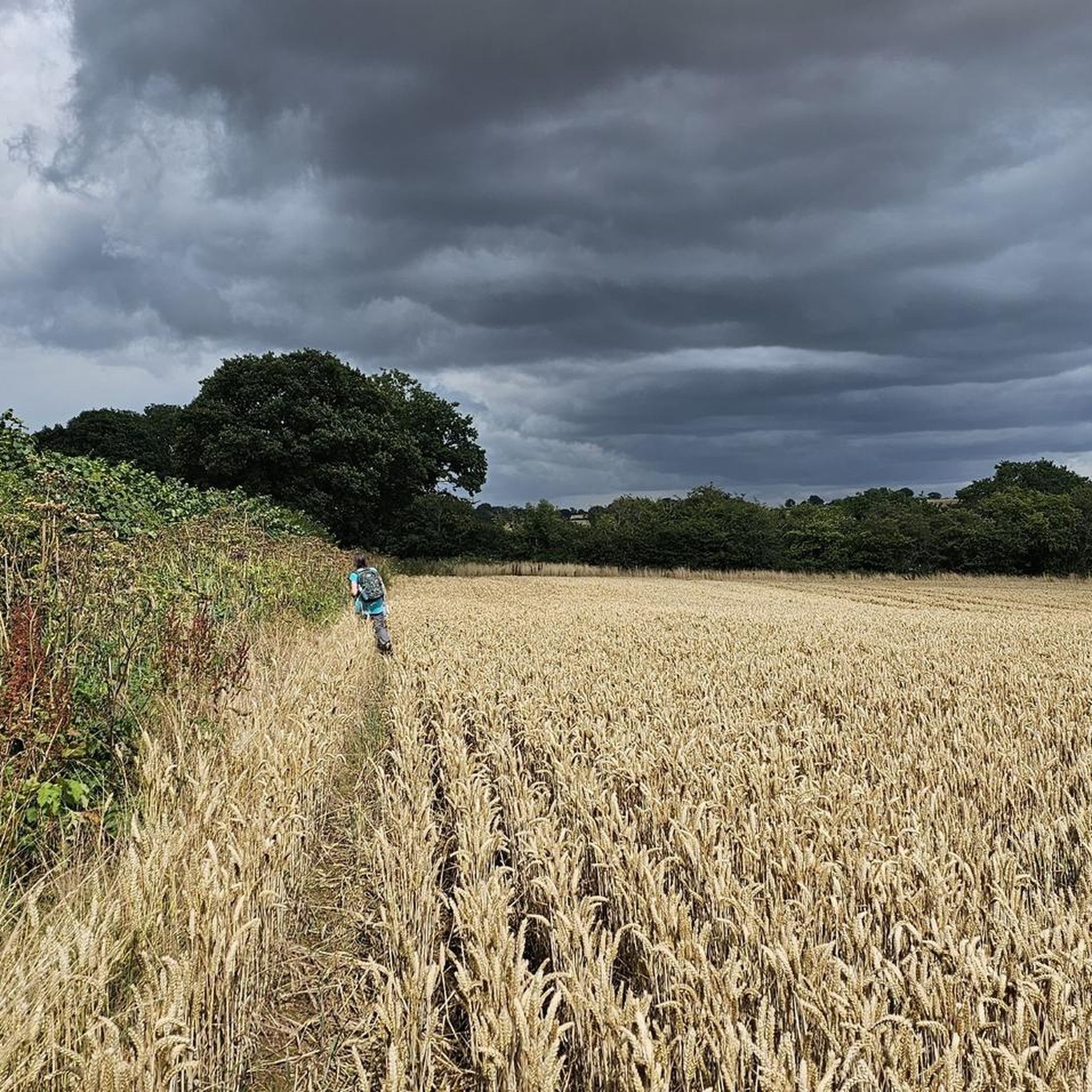
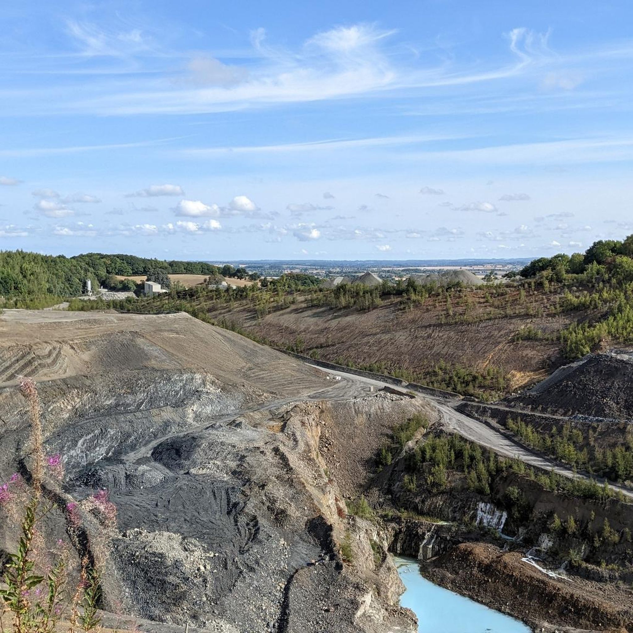
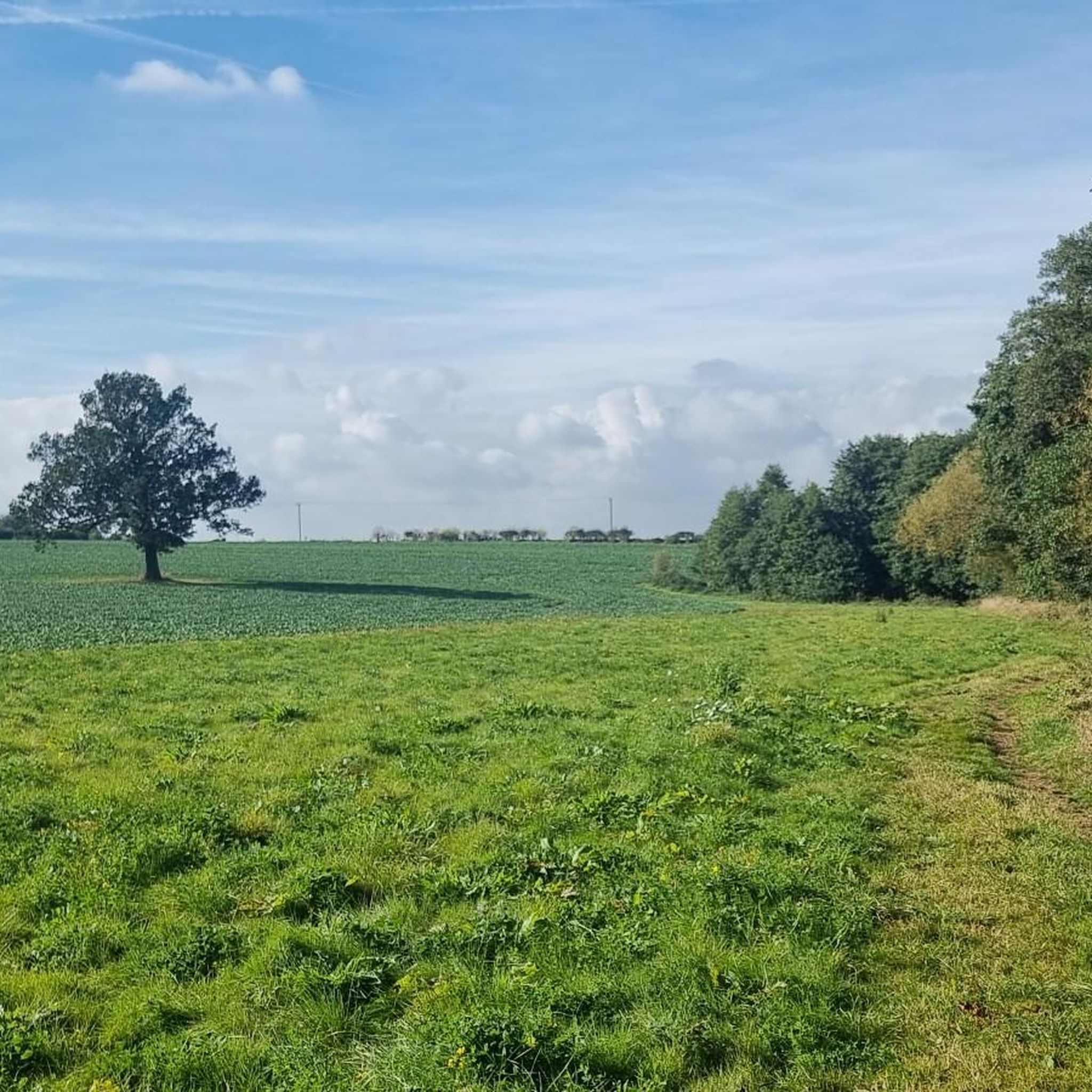
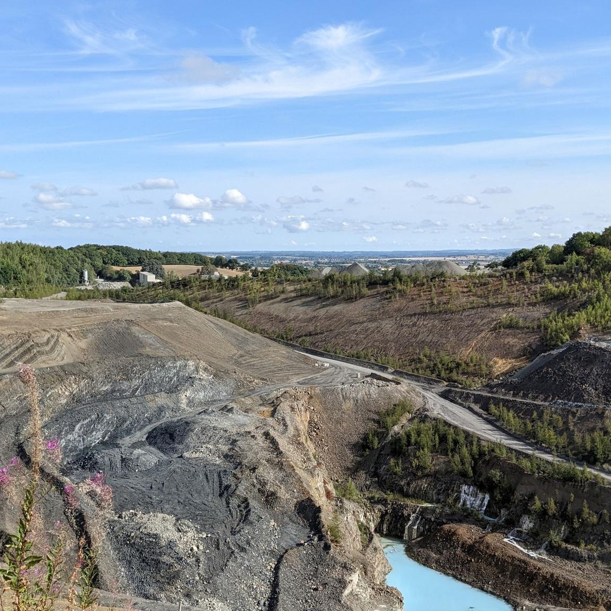
Tips from the Community

Popular junction of the Coventry canal which passes over the river Tame just past the junction.. Travel towards Birmingham and you will pass the famous white swing bridge near Drayton Bassett and Drayton Manor. Walk along the canal to Middleton lakes RSPB site, Middleton Hall and Kingsbury water park.
0
0

Such a towpath (known in German as a towpath or Leinpfad), which runs alongside the river or canal, was an essential part of the transport infrastructure in earlier times. Before ships could move by motor power, horses walked along the bank, pulling the boat against the current. This activity was called "treideln" in German, and thus the "treidelpfad" got its name. Where these paths – running directly along the bank – have survived to this day, they no longer serve their original purpose, but are still popular: namely, with hikers and cyclists.
0
0
Rivers and canals crisscross the country, as they were a crucial part of the transport infrastructure – especially in the early days of industrialization. Factories needed the delivery of raw materials in previously unknown quantities, and finished goods also had to find their way to traders. Many of the canals originated in this era. Later, rail and, even later, trucks took over the task of transporting goods. When building the artificial waterways, however, it was important to consider that differences in elevation always had to be overcome, and so locks are often located along the canals – at varying intervals, depending on the local situation. Only with their help was shipping possible.
0
0


There are narrow barriers where the trail crosses the main road. Lovely leafy trail for cyclists and hikers - be mindful of people walking dogs
0
0

It's nice to look at and walk over but the spiral stairs up and down are a nightmare to get bikes up and down.
0
0
Towpath is usually in pretty good condition for most of the year. Probably not all suitable for a road bike but anything with 40mm or above tyres is going to be fine.
0
0

Here stands an unexpected outcrop in the shape of a wall made up of Coventry Sandstone, also known as Corley Rocks. It's a magnificent place to stop and admire some rock formations that are thought to have been there since the boundary of the Carboniferous and Permian periods.
1
0
Frequently Asked Questions
How many gravel bike trails are available around Bentley CP?
There are several gravel bike trails around Bentley CP, offering a mix of easy and moderate routes. In total, you'll find at least 4 distinct tours to explore in the area.
Are there easy gravel bike routes suitable for beginners or families?
Yes, Bentley CP offers easy gravel bike routes perfect for beginners or families. An excellent option is the Coventry Canal – Rural Downhill Road loop from Atherstone, which is 16.1 miles (26.0 km) long and follows canal-side paths and rural areas.
What kind of terrain can I expect on gravel bike trails in Bentley CP?
The terrain around Bentley CP is characterized by rural roads, canal paths, and scattered woodlands. You can expect gentle undulations rather than significant climbs, making it accessible for various skill levels. Routes often follow historical waterways or quiet lanes.
Are there any challenging or advanced gravel bike routes?
While many routes are easy to moderate, there are options for those seeking a longer, more challenging ride. The Maxstoke Priory Ruins – Drayton Gothic Footbridge loop from Water Orton is a longer route at 67.2 miles (108.2 km) with more elevation gain, offering a more demanding experience.
Are there circular gravel bike routes available?
Yes, many of the gravel bike routes around Bentley CP are circular, allowing you to start and end at the same point. For example, the Lime Kilns Pub – Rural Downhill Road loop from Nuneaton is a popular 17.5-mile (28.2 km) loop featuring rural roads and gentle downhill sections.
What are some notable sights or attractions along the gravel bike trails?
Along the gravel bike trails, you can encounter various points of interest. You might pass by historical sites like Maxstoke Priory Ruins or natural areas such as the Tame Valley Wetlands Community Wetland. Several routes also pass by lakes, including Shustoke Reservoir.
Are there routes that pass by lakes or water features?
Yes, several routes incorporate lakes and water features. The area is home to Shustoke Reservoir and Gibson's Pool, and you'll find routes that follow canal paths, offering scenic waterside riding.
What do other gravel bikers enjoy most about the trails in Bentley CP?
The gravel biking routes in Bentley CP are highly rated by the komoot community, with an average score of 4.5 stars. Riders often praise the mix of rural roads and canal paths, as well as the gentle terrain that makes the area accessible for various skill levels.
Are there any routes that offer views or pass by specific landmarks?
Yes, some routes offer interesting views and pass by landmarks. For instance, the Birmingham Airport Viewpoint – Knowle Locks loop from Water Orton traverses varied terrain, including sections near canals and open countryside, potentially offering unique perspectives.
Is there a route that explores woodland areas?
Yes, for a ride through woodland, consider the Donisthorpe Woodland Park – Moira Furnace loop from Polesworth. This route is 42.2 miles (67.9 km) long and takes you through areas with more tree cover, offering a different riding experience.
Most popular attractions around Bentley CP

Get inspired with the komoot mobile app


Explore more
Browse the best Gravel rides in other regions.
