The best gravel rides around Matching
4.4
(17)
81
riders
8
rides
Gravel biking around Matching offers a network of routes suitable for exploring the local countryside. The area features a mix of unpaved roads and tracks, often following river paths and through open landscapes. Elevations are generally gentle, with most routes involving rolling terrain rather than significant climbs. This makes the region accessible for various gravel biking abilities.
Best gravel bike trails around Matching
- The most popular gravel bike trail is Flitch Way — East section – Flitch Way Cycle Path…
Last updated: October 6, 2026
3.0
(1)
31
riders
Moderate gravel ride. Good fitness required. Mostly paved surfaces. Suitable for all skill levels.
5.0
(9)
17
riders
47.2km
02:41
150m
150m
Moderate gravel ride. Good fitness required. Mostly paved surfaces. Suitable for all skill levels.

4.0
(1)
14
riders
33.4km
01:52
200m
200m
Moderate gravel ride. Good fitness required. Mostly paved surfaces. Suitable for all skill levels.
4.5
(2)
7
riders
Easy gravel ride. Great for any fitness level. Mostly paved surfaces. Suitable for all skill levels.
5.0
(1)
8
riders
21.3km
01:21
110m
110m
Easy gravel ride. Great for any fitness level. Mostly paved surfaces. Suitable for all skill levels.
Get access to more routes and recommendations from other explorers.
Already have an account?
Our route recommendations are based on thousands of hikes, rides, and runs completed by other people on komoot.
Start today with a free account
Your next adventure awaits.
Tips from the Community

Such a beautiful area for walking and cycling! Very quiet and peaceful
0
0

Nice green area. Most trails lead through grass. In winter it likes to be wet and muddy.
2
0

Fantastic, scenic viewpoint. The Wildlife Discovery Centre Tower is also situated here.
0
0

Watch out for pedestrians and dogs, great place to stop to refuel.
0
0
Easy route, suitable for all bikes and ages. Can be bumpy in places.
0
0

Bannister Green Halt was sited on the up side of the line and consisted of a clinker platform with timber facing raised to rail level; it was attended by staff from Felsted or Rayne Stations. It was one of two halts built by the GER in 1922 to attract passengers to the railway and counteract the then recently introduced bus service. Passengers joining or alighting at the halt were required to use retractable steps mounted by the side of the coach and operated by the guard.
0
0
The station closed in 1952, with the line being used for freight until it was closed in 1972. Only thing remains is crossing keeper's cottage
0
0
Frequently Asked Questions
How many gravel bike trails are available around Matching?
There are 9 gravel bike trails available around Matching. These routes offer a mix of easy and moderate options, ensuring there's something for various skill levels.
What kind of terrain and difficulty can I expect on gravel bike trails in Matching?
The gravel bike trails in Matching feature a mix of unpaved roads and tracks, often following river paths and open landscapes. The terrain is generally rolling with gentle elevations, making it accessible. You'll find 3 easy routes and 6 moderate routes, with no difficult trails identified.
Are there any natural features or landmarks to see along the gravel bike routes in Matching?
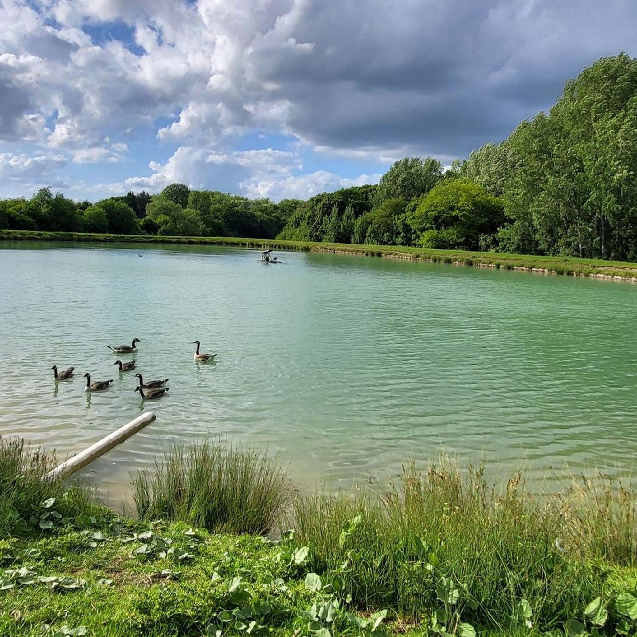
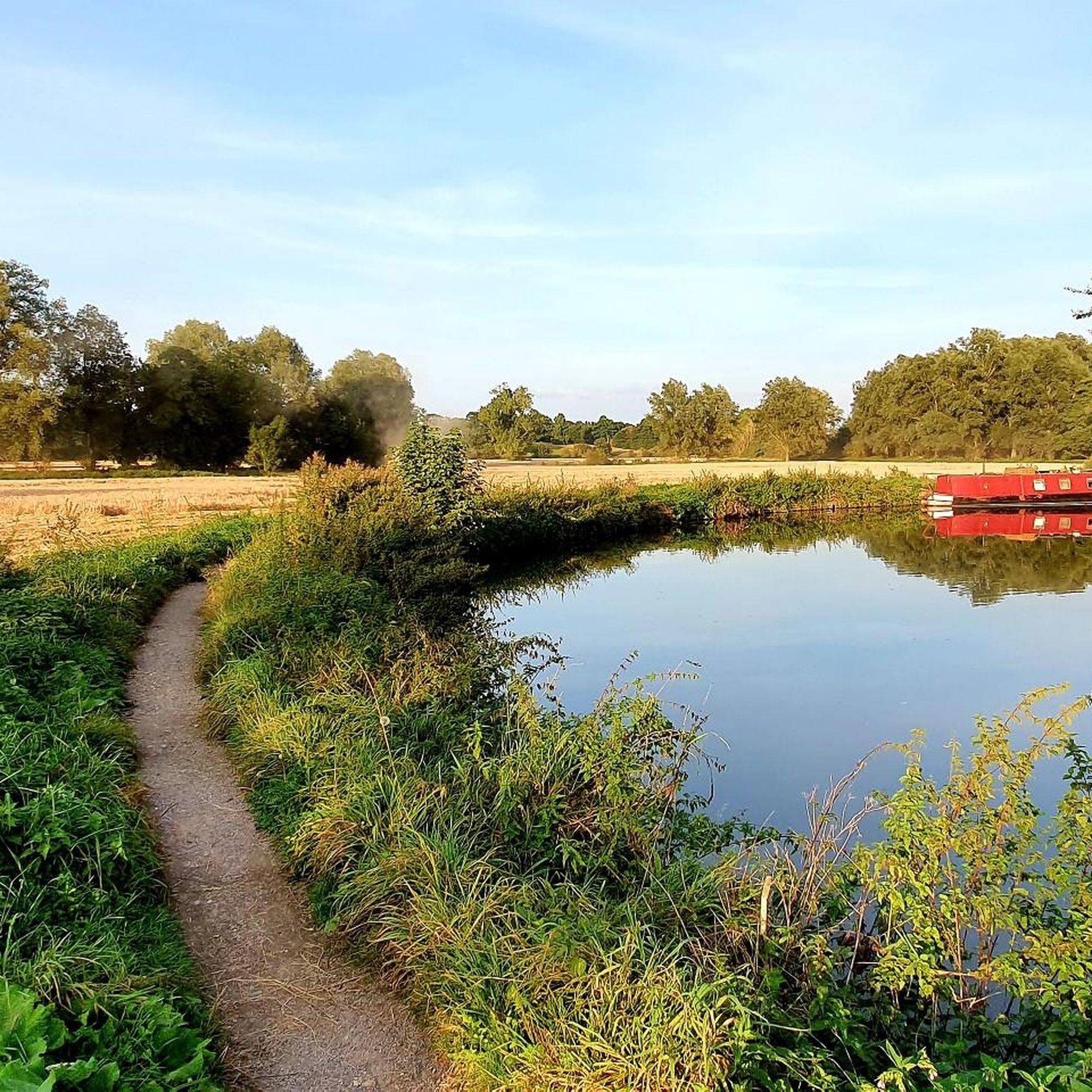
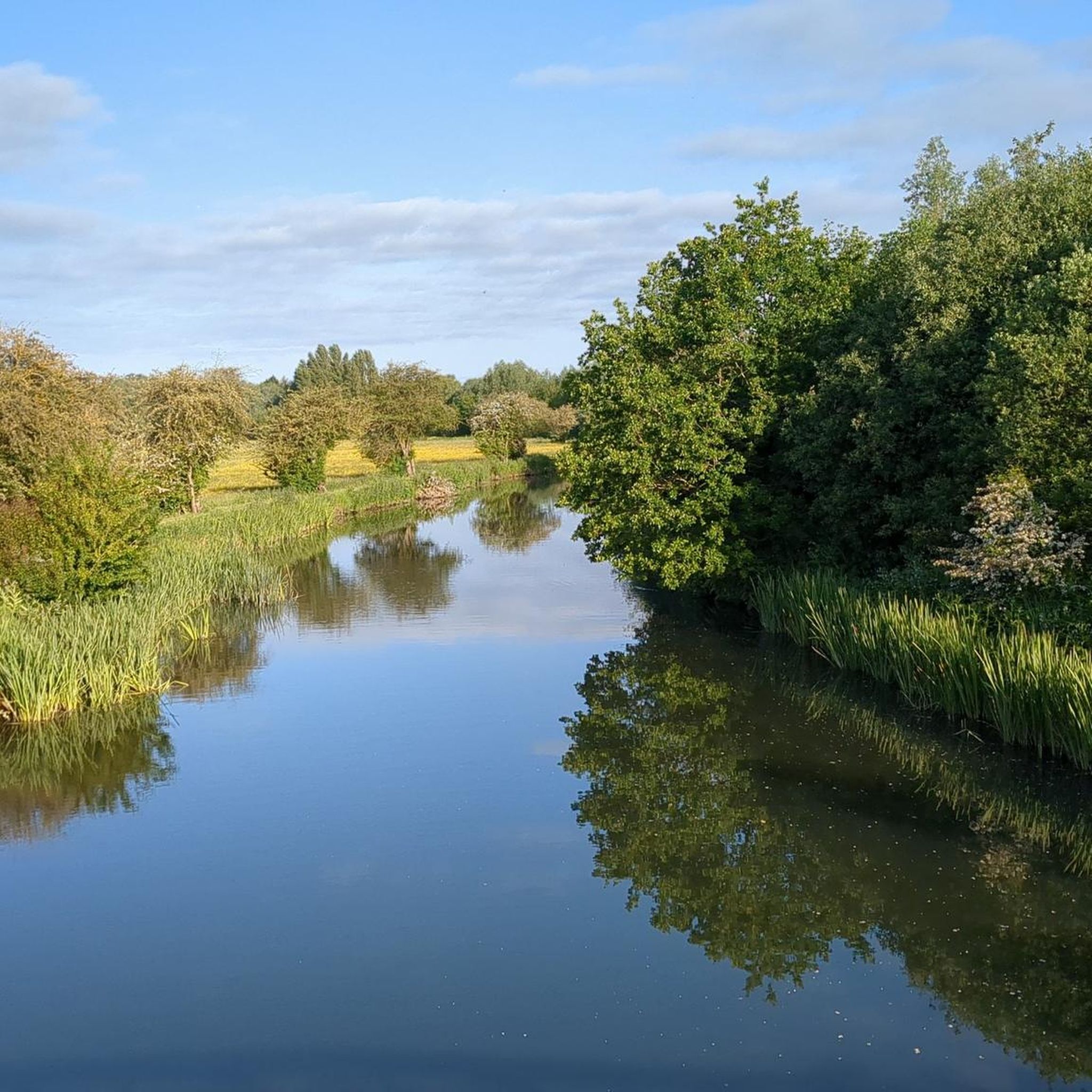
Yes, the routes often pass by interesting natural features and landmarks. You might encounter areas like Hatfield Forest Lake, sections of the Lea Valley Canal, and parts of Epping Lower Forest. The area is characterized by its river towpaths and open fields.
Are there family-friendly gravel bike routes in Matching?
Yes, with 3 easy routes and generally gentle elevations, Matching offers several family-friendly options. Routes that follow river paths and the Flitch Way are often suitable for families looking for a less challenging ride.
Can I find circular gravel bike routes around Matching?
Many of the gravel bike routes around Matching are designed as loops, allowing you to start and finish in the same location. For example, the Flitch Way — East section loop from Bishop's Stortford and the River Stort Towpath loop from Harlow Mill are popular circular options.
Is parking or public transport access available for gravel biking trails in Matching?
While specific parking details for each trailhead are not provided, many routes start from towns like Bishop's Stortford or Harlow Mill, which typically offer parking facilities. For public transport, checking local bus or train services to these starting points would be advisable.
What is the best time of year for gravel biking in Matching?
The best time for gravel biking in Matching generally aligns with drier seasons, such as late spring, summer, and early autumn. These periods offer more comfortable temperatures and firmer trail conditions. Winter rides are possible but may involve muddier sections, especially on unpaved tracks.
Are there any good places to stop for refreshments like pubs or cafes along the gravel bike trails?
Yes, you can find places for refreshments. For instance, The Snug at High Easter is a cafe located near some of the routes. Many trails also pass through or near villages and towns where pubs and cafes are available.
Where can I find scenic viewpoints on gravel bike routes around Matching?
For scenic views, consider routes that pass by bodies of water or offer open landscape vistas. The River Stort Towpath loop from Harlow Mill offers views of Seventy Acres Lake. Other highlights like Trail From Lee Valley White Water to Rye House and Beggar's Hall Fishing Lake are also noted for their scenic appeal.
What do other gravel bikers enjoy the most about gravel biking in Matching?
The area is highly rated by the komoot community, with an average score of 4.25 stars from over 12 reviews. Reviewers often praise the varied terrain, the mix of river towpaths and open fields, and the accessibility for different ability levels, making it a versatile destination for gravel biking.
Are there options for shorter gravel bike rides in Matching?
Yes, there are options for shorter rides. The Cycle Stortford Meeting Point loop from Bishop's Stortford is a moderate 20.8 miles (33.5 km) route, ideal for a shorter outing. Another good option is the River Stort Towpath – River Lea Navigation loop from Harlow Town, which is an easy 27.8 km ride.
What are some options for longer gravel rides in Matching?
For a longer gravel biking experience, consider the Flitch Way — East section loop from Bishop's Stortford, which spans 37.5 miles (60.4 km) and typically takes around 4 hours 30 minutes. This route offers varied surfaces along the Flitch Way for an extended adventure.
Most popular attractions around Matching

Get inspired with the komoot mobile app


Explore more
Browse the best Gravel rides in other regions.
