The best gravel rides around Hassocks
4.6
(58)
630
riders
75
rides
Gravel biking around Hassocks offers varied terrain at the foot of the South Downs National Park, characterized by rolling hills, woodlands, and open fields. The region features chalk grassland habitats and includes significant elevations such as Ditchling Beacon, the highest point in East Sussex. Chalky soil provides firm surfaces, though conditions can be slippery after wet weather. This landscape provides a diverse network of routes suitable for gravel biking.
Best gravel bike trails around Hassocks
- The most popular gravel bike…
Last updated: July 3, 2026
5.0
(6)
116
riders
79.6km
06:45
1,520m
1,520m
Hard gravel ride. Very good fitness required. Mostly paved surfaces. Suitable for all skill levels.
5.0
(5)
51
riders
52.2km
03:28
600m
600m
Hard gravel ride. Very good fitness required. Mostly paved surfaces. Suitable for all skill levels.

Sign up for free
4.8
(4)
45
riders
54.4km
03:15
380m
380m
Moderate gravel ride. Good fitness required. Mostly paved surfaces. Suitable for all skill levels.
19
riders
33.2km
02:11
190m
190m
Moderate gravel ride. Good fitness required. Mostly paved surfaces. Suitable for all skill levels.
11
riders
Hard gravel ride. Very good fitness required. Mostly paved surfaces. Suitable for all skill levels.
Get access to more routes and recommendations from other explorers.
Sign up for free
Already have an account?
Our route recommendations are based on thousands of hikes, rides, and runs completed by other people on komoot.
Start today with a free account
Your next adventure awaits.
Login or Signup
Popular around Hassocks
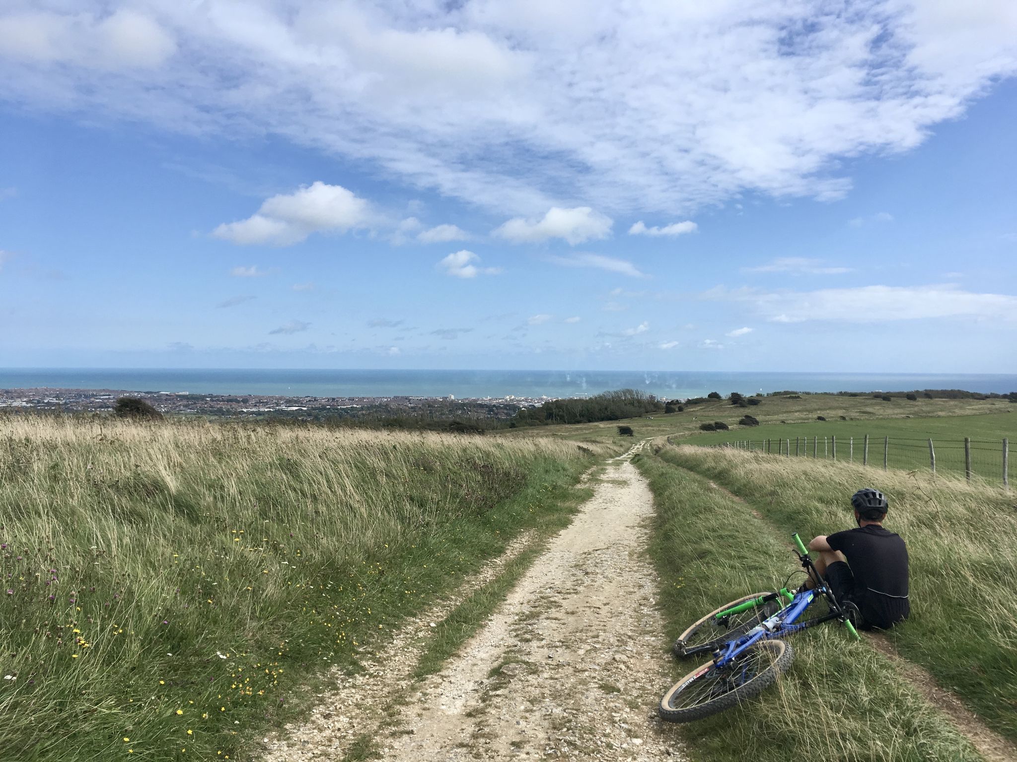
South Downs Way — A Southern off-road utopia
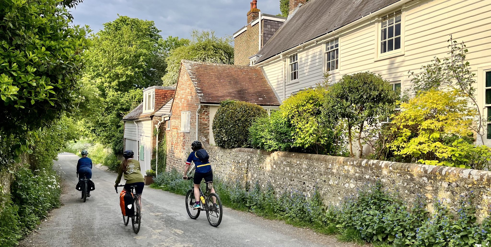
Explore the South Downs National Park — 15 rail to road rides

Discover the South Downs National Park — 20 rail to trail rides
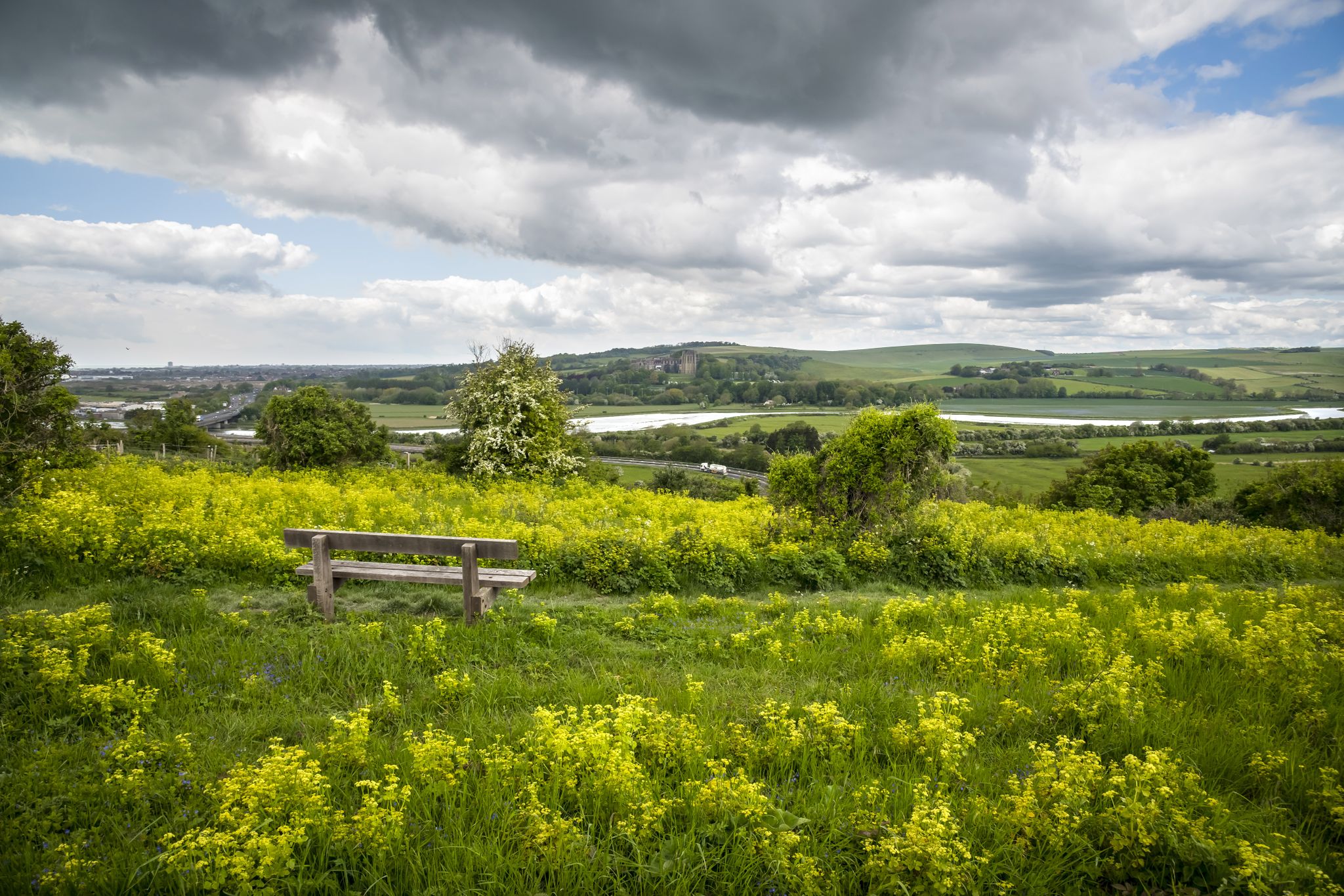
So Sussex - The Living Coast by Bike

Road Cycling Routes around Hassocks
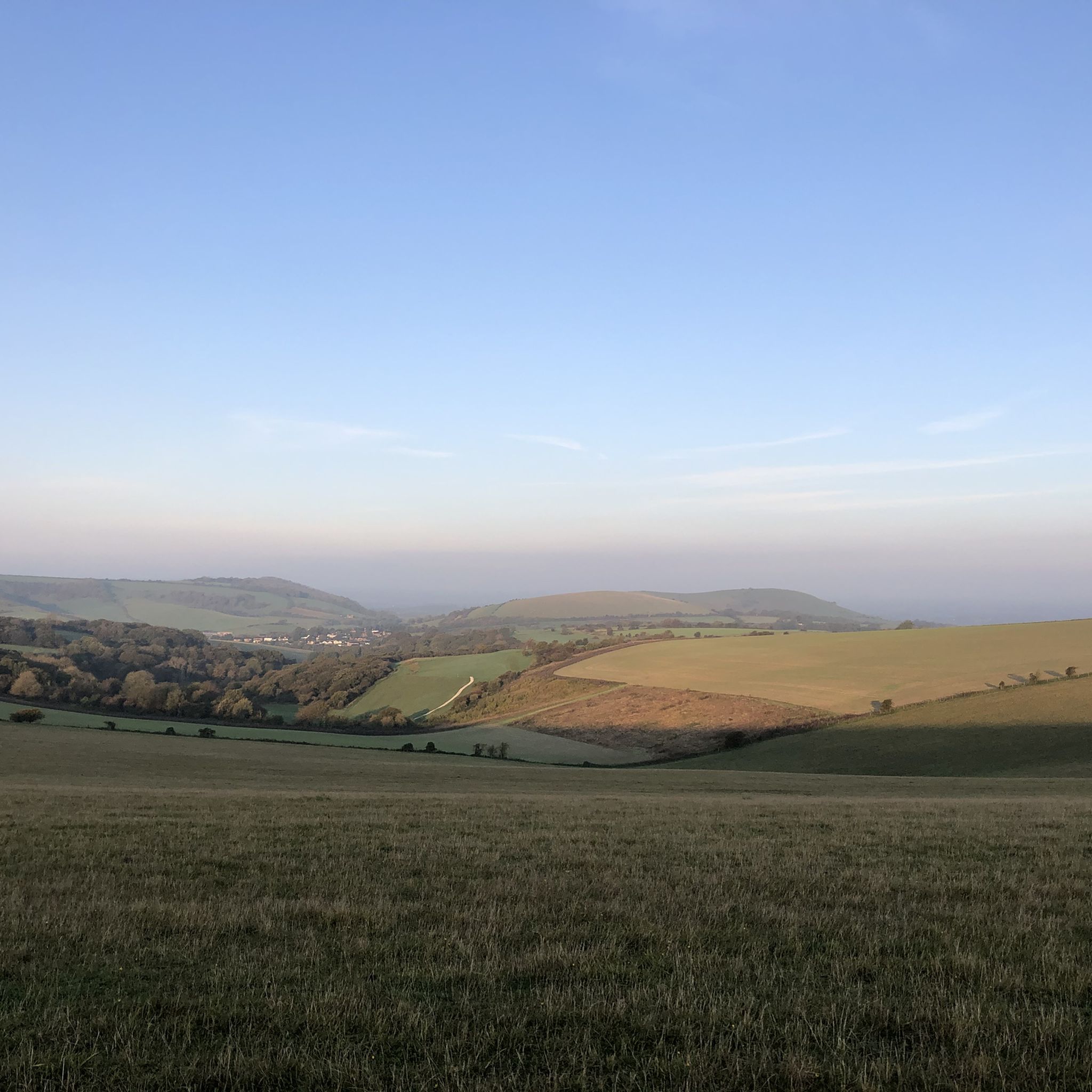
Hiking around Hassocks
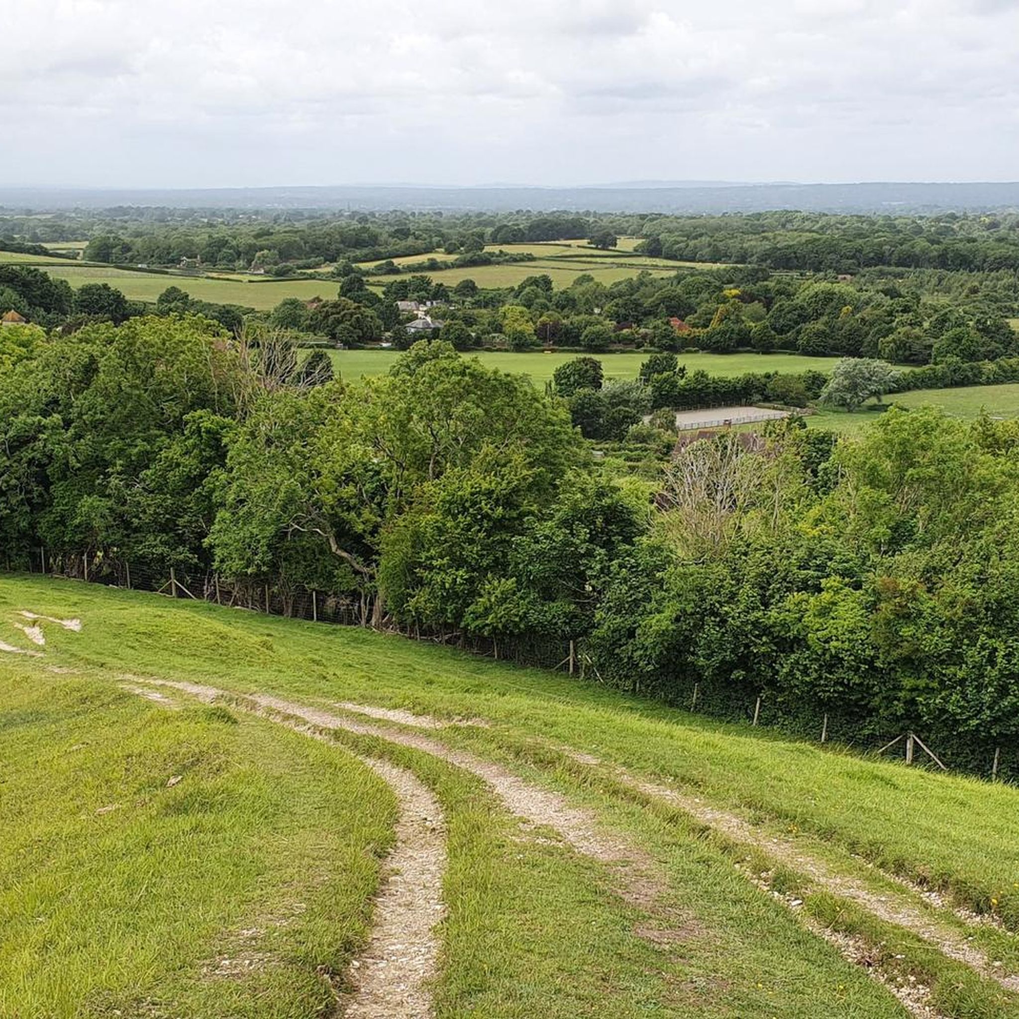
Running Trails around Hassocks
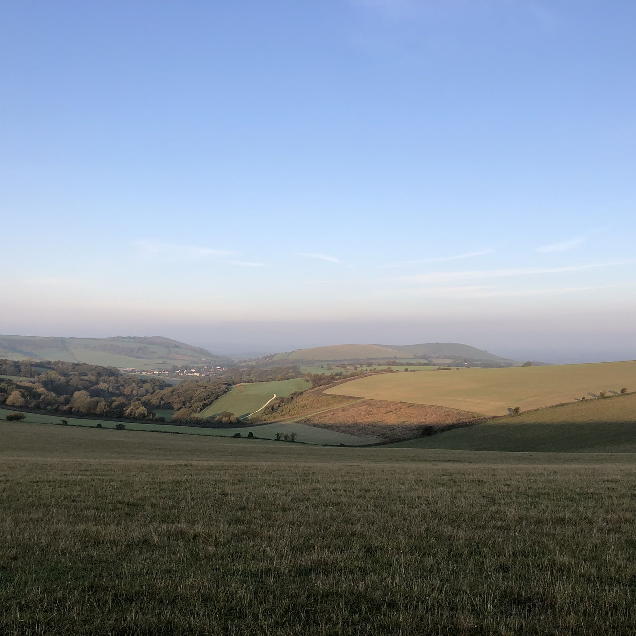
MTB Trails around Hassocks
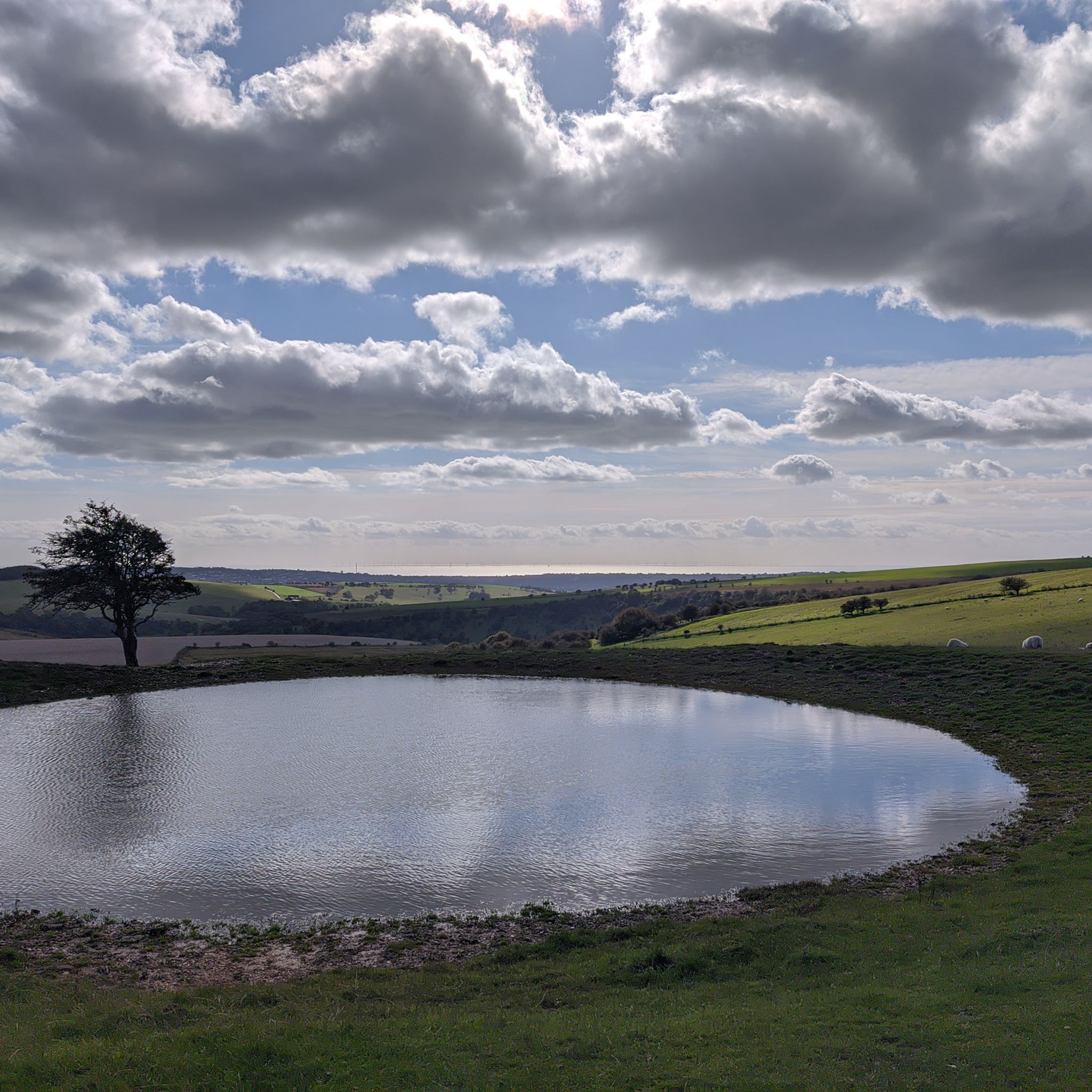
Cycling around Hassocks
Other adventures around Hassocks


Tips from the Community

DO NOT LET YOUR GUARD DOWN until you pass the last gate next to the main road - Evil Rock on the right-hand side track
0
0
nice steady climb with breathtaking views, if you turn left at the gate (before crossing) you will see a path to your further left leading to a pub called Sheppard and Dog with a nice beer garden - this is a S2 descent so be careful
0
0

Very picturesque. Check out the view from the bridge.
0
0

The little detour from the classical London Brighton epic ride is worth some stunning views. Can be quite windy though!
1
0

Rocky loose descent, Rocky loose ascent
1
0

Decent shop with hot food over the counter, plus some tea rooms.
0
0

Follow the trail around the ring for great views over Findon to Worthing
0
0
Frequently Asked Questions
How many gravel bike trails are available around Hassocks?
There are over 100 gravel bike trails around Hassocks, offering a wide range of options for different skill levels. You'll find everything from moderate paths to challenging climbs through the South Downs National Park.
What kind of terrain can I expect on gravel bike trails in Hassocks?
The terrain around Hassocks is diverse, featuring rolling hills, extensive woodlands, and chalk ridges of the South Downs. You'll encounter quiet country lanes, challenging climbs, and scenic routes through open fields. While the chalky soil is generally firm, it can become slippery after wet weather, adding an element of challenge.
Are there any easy gravel bike routes suitable for beginners or families?
Yes, Hassocks offers a few easier routes. For a moderate experience, consider the West Grinstead Station – The Downs Link loop from Woodmancote, which follows a section of the well-known Downs Link and offers a mix of surfaces through rural landscapes. This route is 33.5 km long and takes about 2 hours 40 minutes.
What are some challenging gravel bike routes in the Hassocks area?
For experienced gravel bikers seeking a challenge, Hassocks has several difficult routes. The Ditchling Beacon Climb – Blackcap Summit and Trig Point loop from Plumpton is a demanding 79.7 km trail with significant climbs and panoramic views. Another difficult option is the View of Devil's Dyke – Truleigh Hill loop from Ditchling Beacon, which is 32.5 km and provides expansive views from prominent hills.
What landmarks or attractions can I see along the gravel bike trails?
Many routes pass by notable landmarks. You can cycle past the iconic Jack and Jill Windmills, which offer stunning views. The highest point in East Sussex, Ditchling Beacon, is a frequent feature, providing breathtaking panoramic views. You might also encounter Devil's Dyke, a dramatic valley, or the quirky, castle-like North Portal of Clayton Tunnel.
Are there any circular gravel bike routes available?
Yes, many of the gravel bike routes around Hassocks are designed as loops. For example, the challenging View of Devil's Dyke – Devil's Dyke loop from Burgess Hill is a 46.3 km circular route, and the Ditchling Beacon Climb – Stanmer Tea Rooms loop from Withdean Woods offers a 25.9 km circular ride.
What do other gravel bikers say about the trails in Hassocks?
The gravel biking routes in Hassocks are highly rated by the komoot community, with an average score of 4.6 stars from over 60 reviews. More than 700 gravel bikers have explored the varied terrain, often praising the stunning natural landscapes and the diverse network of trails.
Is Hassocks well-connected for public transport to access the trails?
Hassocks is conveniently located on a main railway line, making it accessible by train. This allows for easy access to many routes, some of which start directly from the village or nearby stations, providing options for those without private transport.
Are there places to rent gravel bikes in Hassocks?
Yes, Hassocks offers a community cycle hire service conveniently located at the railway station. They provide mountain bikes, route maps, and servicing, making it easy for visitors to explore the local terrain even without bringing their own bike.
What is the best time of year to go gravel biking in Hassocks?
The area is beautiful year-round, but spring and autumn offer pleasant temperatures and vibrant scenery. While the chalky soil provides firm surfaces, it can become slippery after wet weather, so be prepared for potentially muddy conditions, especially in winter or after heavy rain.
Are there any routes that offer views of the sea or the Isle of Wight?
Yes, from prominent viewpoints like Ditchling Beacon, you can enjoy breathtaking panoramic views stretching across the South Downs, towards the sea, and over the Weald. On clear days, you might even catch a glimpse of the Isle of Wight.
Most popular routes around Hassocks
Most popular attractions around Hassocks

Get inspired with the komoot mobile app


Explore more
Browse the best Gravel rides in other regions.
