The best gravel rides around Busbridge
4.1
(60)
373
riders
54
rides
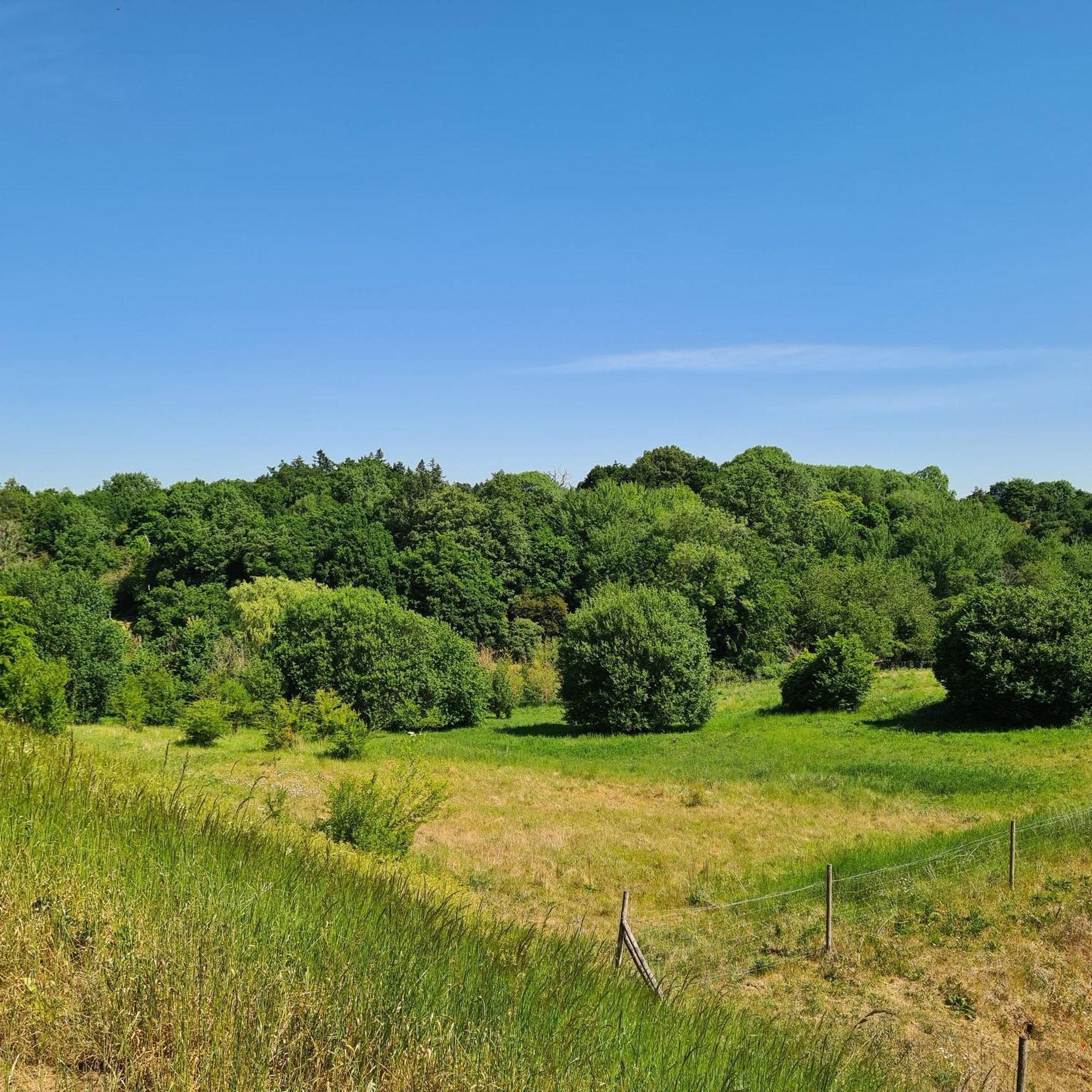
Gravel biking around Busbridge features a landscape characterized by rolling hills, river valleys, and sections of disused railway lines. The area offers a mix of open common land and wooded trails, providing varied surfaces for gravel cyclists. Routes often follow the River Wey and incorporate parts of the Downs Link, a multi-use path. This region provides diverse terrain suitable for different gravel biking experiences.
Best gravel bike trails around Busbridge
- The most popular gravel bike trail is View from Newlands…
Last updated: October 6, 2026
3.0
(2)
18
riders
54.1km
04:01
800m
800m
Hard gravel ride. Very good fitness required. Mostly paved surfaces. Suitable for all skill levels.
4.8
(9)
65
riders
51.2km
03:07
250m
250m
Moderate gravel ride. Good fitness required. Mostly paved surfaces. Suitable for all skill levels.

3.8
(6)
49
riders
33.0km
01:44
110m
110m
Easy gravel ride. Great for any fitness level. Mostly paved surfaces. Suitable for all skill levels.
22
riders
Easy gravel ride. Great for any fitness level. Mostly paved surfaces. Suitable for all skill levels.
4.6
(5)
19
riders
46.7km
03:01
460m
460m
Hard gravel ride. Very good fitness required. Mostly paved surfaces. Suitable for all skill levels.
Get access to more routes and recommendations from other explorers.
Already have an account?
Our route recommendations are based on thousands of hikes, rides, and runs completed by other people on komoot.
Start today with a free account
Your next adventure awaits.
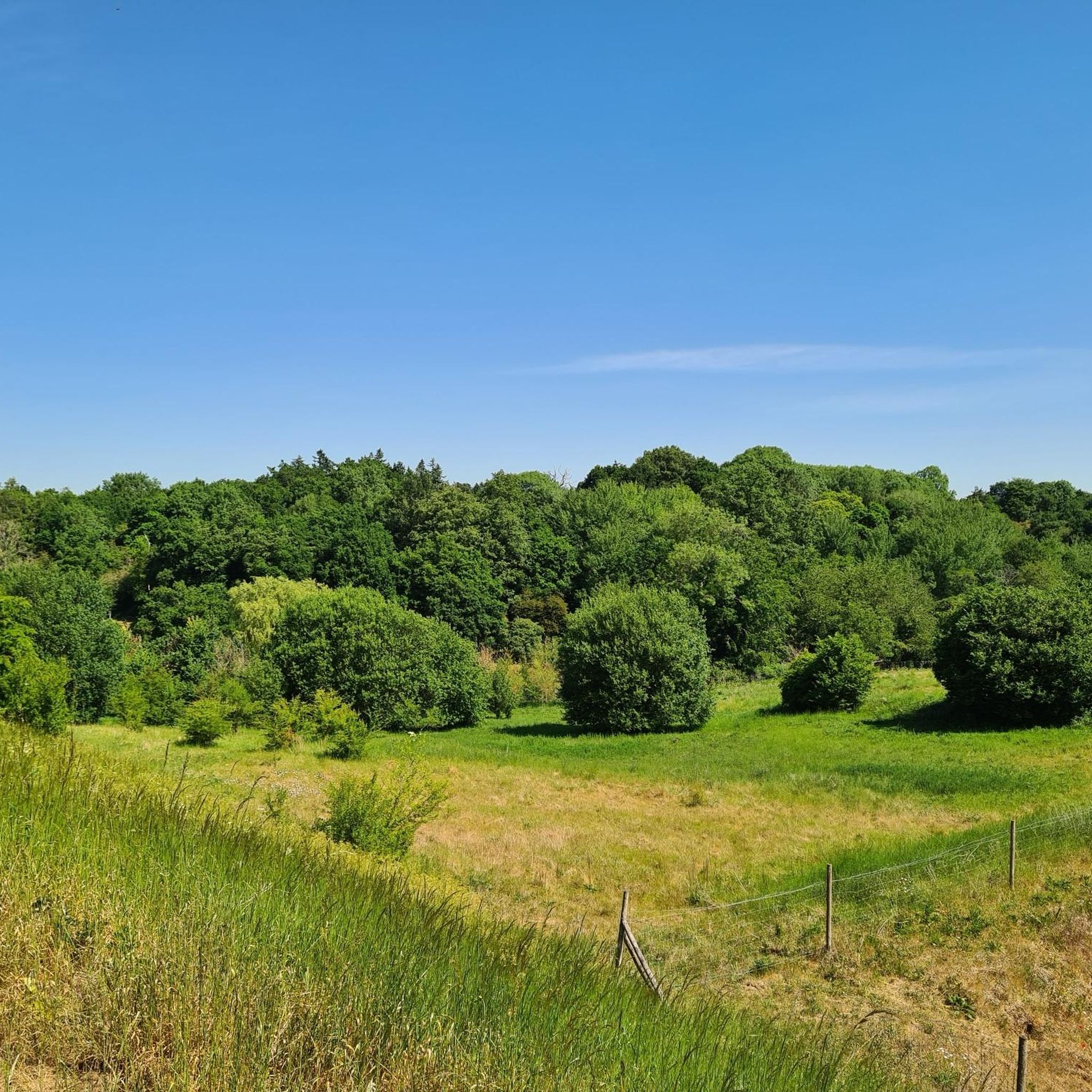
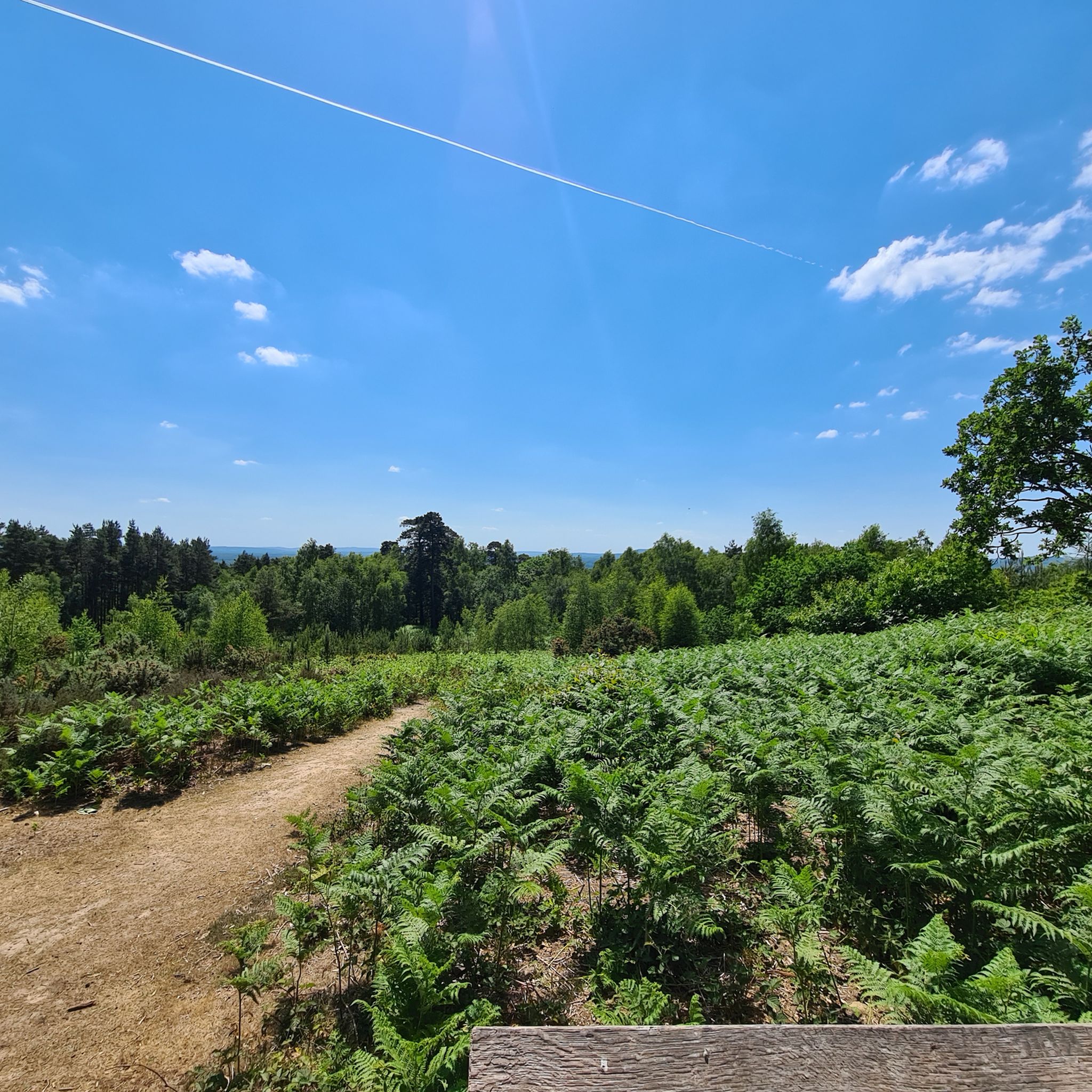
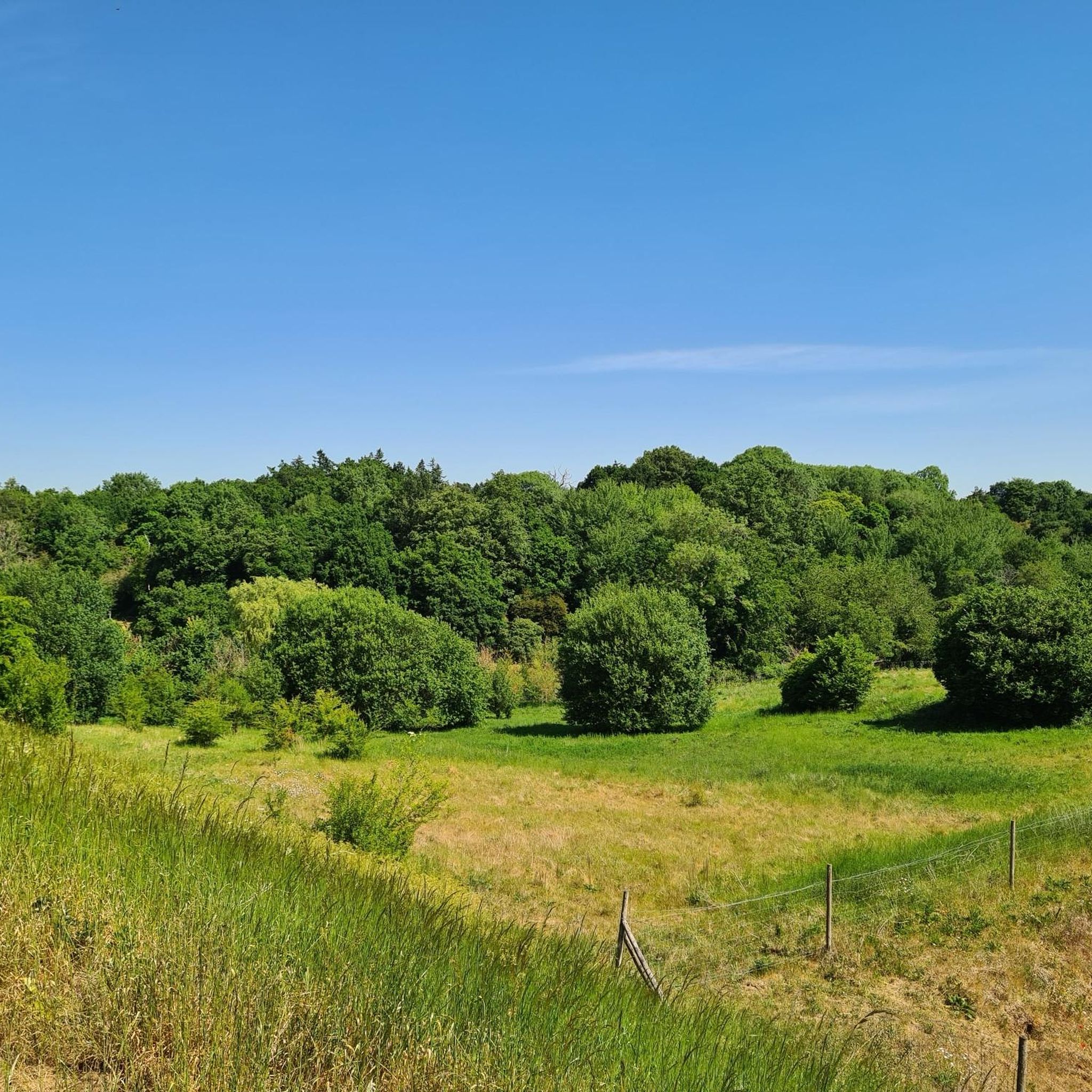
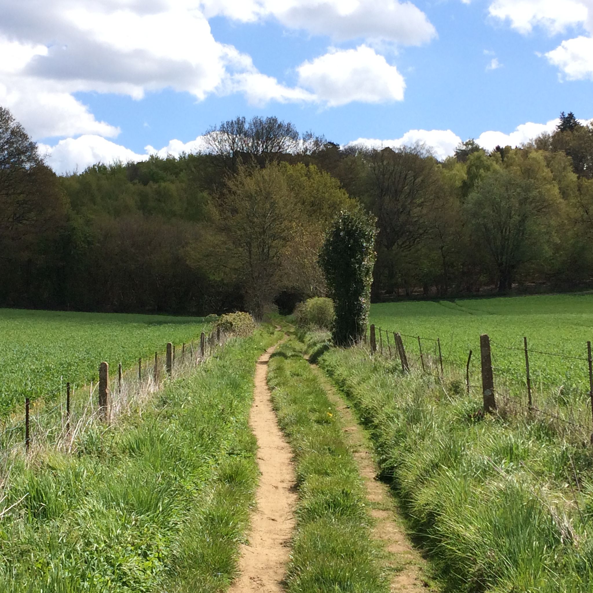
Tips from the Community


Quiet narrow road until you reach the village and the rest of the climb up Leith. Decent
0
0

Lots of old railway infastruction still in place or use changed. From bridges, a tunnel, railway crossings and old station platforms.
1
0


When visiting Vann Garden, be sure to explore the Yew Walk, a serene pathway enclosed by towering yew hedges planted in 1909. This area was originally designed as a rose garden but has since been replanted with foliage plants to provide year-round interest. The Yew Walk offers a tranquil retreat and a glimpse into the garden's evolving history. [1] https://www.historichouses.org/house/vann/visit/
0
0
Lovely section of Road. Another Climb but usually devoid of cars. One can just chill with only the sound of the chain, your breathing and birdsong
0
0
Frequently Asked Questions
How many gravel bike trails are available around Busbridge?
There are over 60 gravel bike routes around Busbridge, offering a variety of experiences. These include 7 easy, 40 moderate, and 14 difficult trails, catering to different skill levels.
Are there easy gravel bike trails suitable for beginners or families in Busbridge?
Yes, Busbridge offers several easy gravel bike trails. A good option for beginners or families is the Bramley and Wonersh Station – Wey & Arun Canal at Downs Link loop from Farncombe, which is 15.7 miles (25.2 km) long and features minimal elevation gain, following the Wey & Arun Canal and parts of the Downs Link.
What is the typical length of gravel bike routes near Busbridge?
Gravel bike routes near Busbridge vary in length. You can find shorter routes around 15-20 miles (24-32 km), such as the Downs Link – Baynards Station loop from Shalford at 20.4 miles (32.9 km). Longer routes can extend up to 30-34 miles (48-55 km), like the View from Newlands Corner – View of Shere loop from Farncombe.
Are there circular gravel bike routes in the Busbridge area?
Yes, many of the gravel bike routes around Busbridge are circular, allowing you to start and end at the same point. Examples include the Parkstreet Lane Bridge – Rudgwick Double Bridge loop from Shalford and the River Wey – Hambledon Common loop from Farncombe, both offering varied terrain and scenic views.
What kind of viewpoints can I expect along the gravel bike routes?
The Busbridge area, with its rolling hills, offers several scenic viewpoints. Routes often pass by elevated spots providing expansive views of the Surrey countryside. For example, the View from Newlands Corner – View of Shere loop from Farncombe includes significant elevation gain and passes through scenic viewpoints like View from Newlands Corner.
Are there any cafes or pubs along the gravel bike trails in Busbridge?
While specific cafes and pubs directly on every trail are not listed, the routes often pass through or near villages where you can find refreshments. For instance, the area around Peaslake Village is known for its cycling-friendly atmosphere and amenities, which might be accessible from some routes.
What is the best time of year for gravel biking in Busbridge?
The best time for gravel biking in Busbridge is generally from spring through autumn (April to October). During these months, the weather is typically milder, and the trails are less likely to be muddy or waterlogged compared to winter. The varied terrain, including open common land and wooded trails, is enjoyable in good conditions.
What are the winter conditions like for gravel biking in Busbridge?
Winter conditions in Busbridge can make some gravel trails challenging due to mud and wet surfaces, especially in wooded areas and along river paths. While some routes, particularly those on firmer ground or disused railway lines like the Downs Link, may still be rideable, be prepared for colder temperatures, shorter daylight hours, and potentially slippery conditions.
What are some interesting landmarks or attractions near the gravel bike routes?
The Busbridge area is rich in natural beauty and historical points. Along your rides, you might encounter highlights such as Hydon's Ball Summit, offering elevated views, or the historic Chinthurst Hill Tower. The routes also often follow the River Wey and incorporate parts of the historic Downs Link railway path.
Is there public transport access to the gravel biking areas around Busbridge?
Yes, several routes start or pass near train stations, making them accessible by public transport. For example, routes originating from Farncombe or Shalford are convenient as these villages have train stations, allowing you to reach the starting points without a car.
Where can I find parking for gravel biking in Busbridge?
Parking is typically available in the villages and towns where many routes begin, such as Farncombe or Shalford. Look for public car parks in these areas, which often serve as convenient starting points for exploring the gravel bike trails.
Most popular routes around Busbridge
Most popular attractions around Busbridge

Get inspired with the komoot mobile app


Explore more
Browse the best Gravel rides in other regions.
