The best gravel rides around Bleadon
4.4
(16)
94
riders
5
rides
Gravel biking around Bleadon offers varied terrain, situated between Worlebury Hill and Bleadon Hill, with the River Axe flowing into Weston Bay. This geographic position provides a mix of inclines and flatter sections suitable for mixed-surface cycling. The area features access to disused railway paths like the Strawberry Line and connections towards the Mendips, known for their scenic views. The region's landscape includes hills, river estuaries, and a network of potential mixed-surface trails.
Best gravel bike trails around Bleadon
- The…
Last updated: May 22, 2026
4.8
(12)
64
riders
52.2km
02:56
370m
370m
Moderate gravel ride. Good fitness required. Mostly paved surfaces. Suitable for all skill levels.
4.0
(1)
15
riders
13.2km
00:40
20m
20m
Easy gravel ride. Great for any fitness level. Mostly paved surfaces. Suitable for all skill levels.

Sign up for free
4.0
(2)
5
riders
26.2km
01:35
170m
170m
Moderate gravel ride. Good fitness required. Mostly paved surfaces. Suitable for all skill levels.
2
riders
28.4km
02:17
490m
490m
Hard gravel ride. Very good fitness required. Mostly paved surfaces. Suitable for all skill levels.
5.0
(1)
8
riders
14.7km
00:47
120m
120m
Easy gravel ride. Great for any fitness level. Mostly paved surfaces. Suitable for all skill levels.
Our route recommendations are based on thousands of hikes, rides, and runs completed by other people on komoot.
Start today with a free account
Your next adventure awaits.
Login or Signup
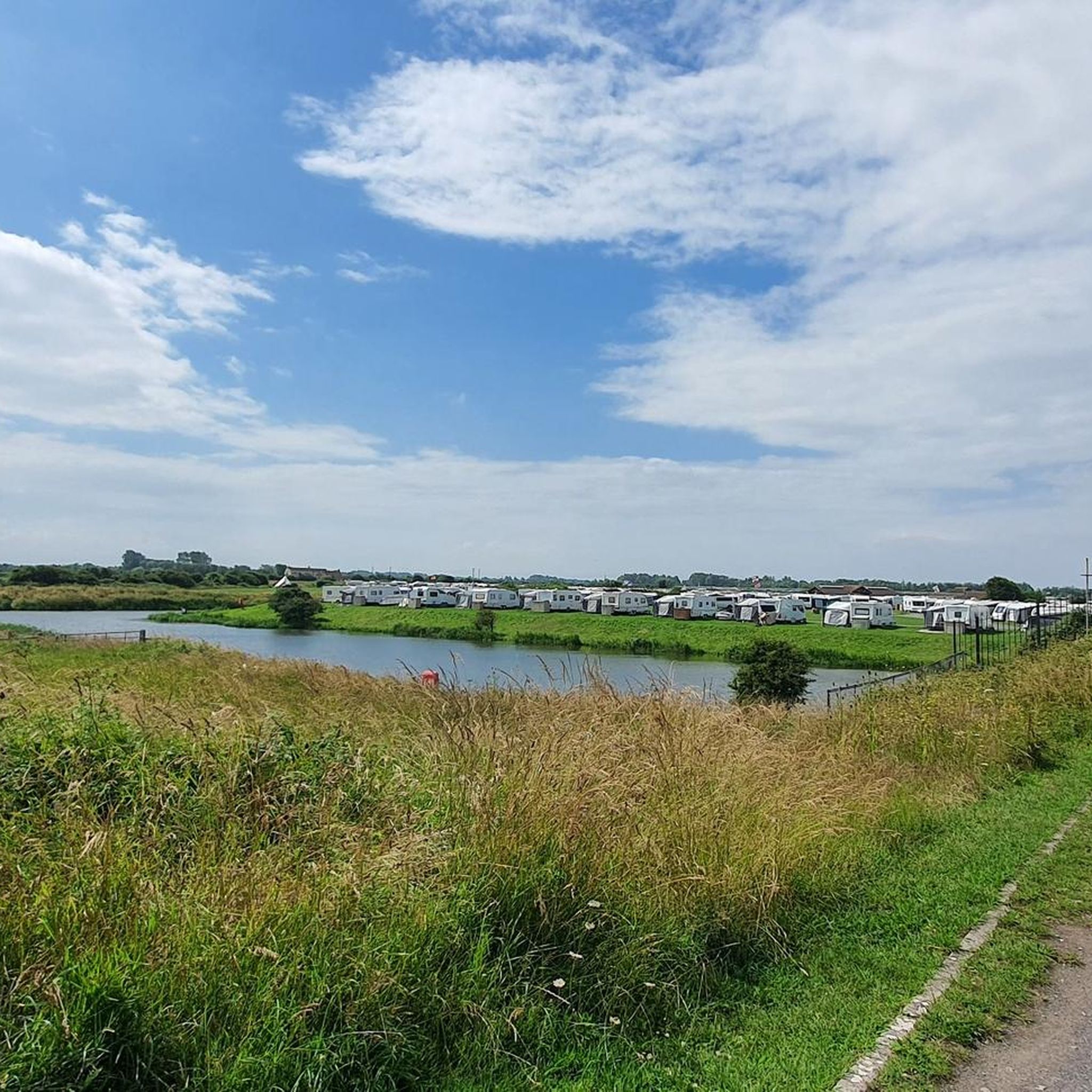
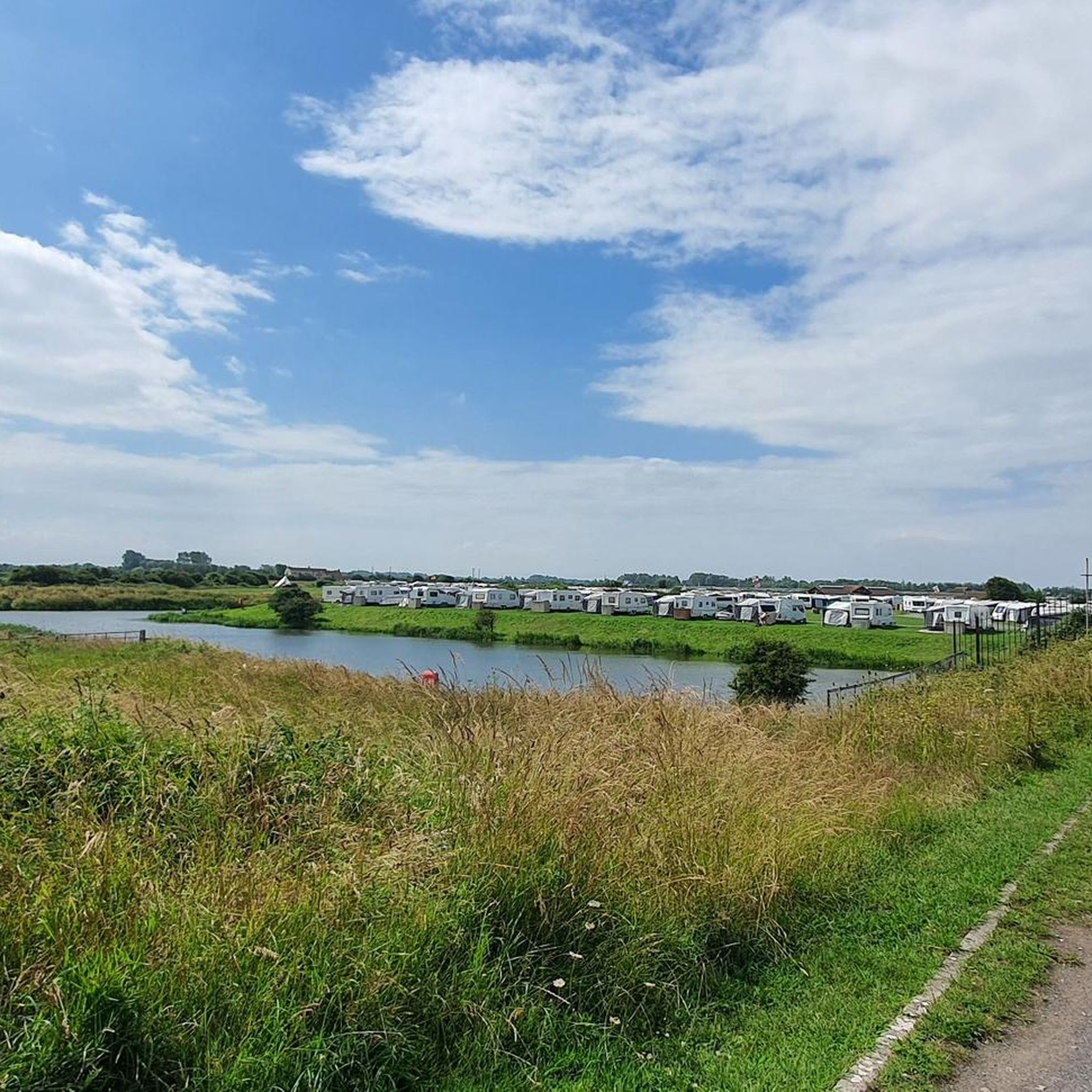
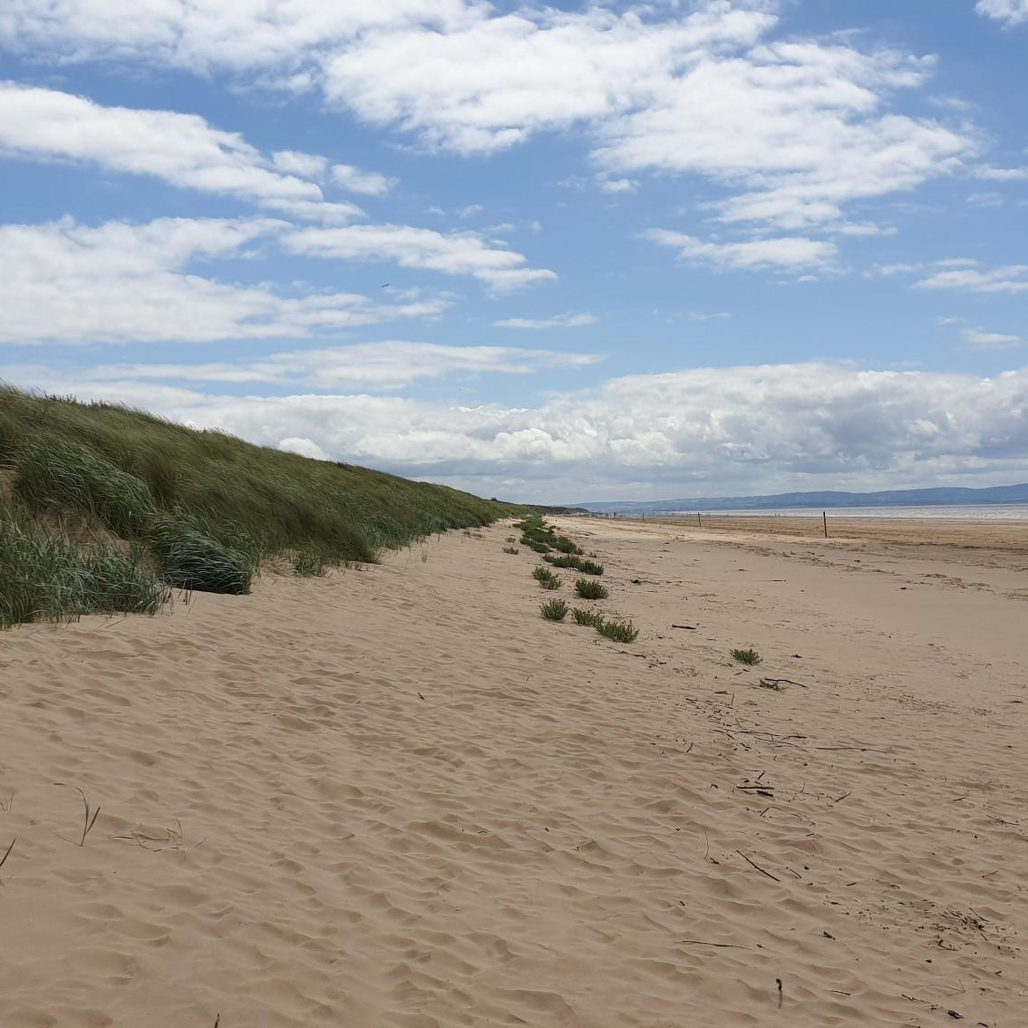
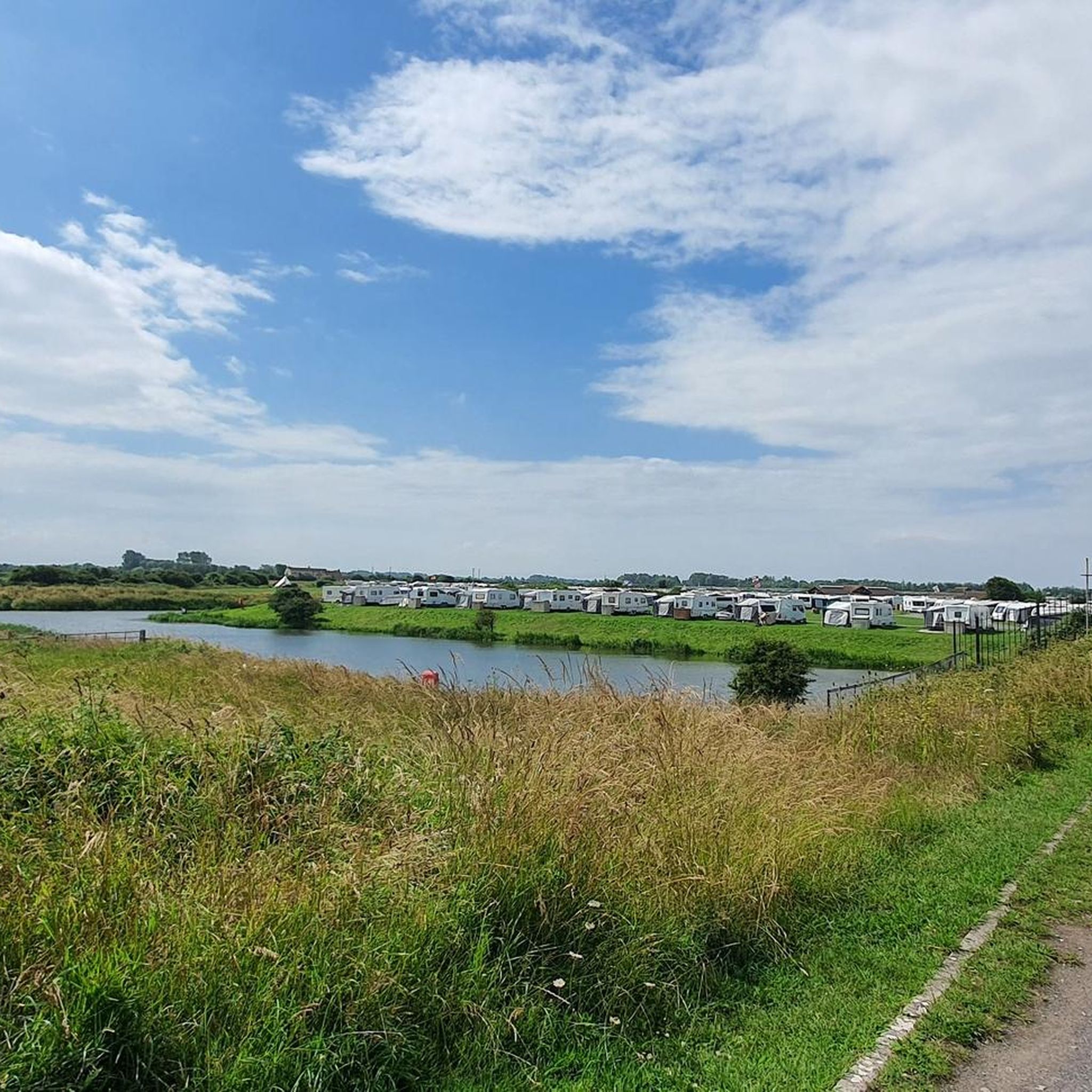
Tips from the Community

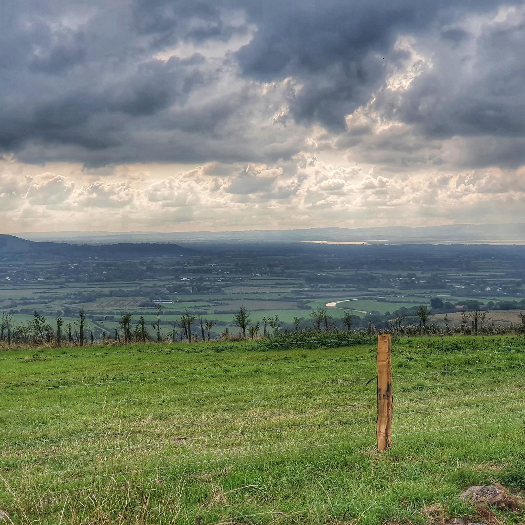
Great view and well worth the slightly steep muddy ascent.
0
0

A super cool train sculpture that is on The Strawberry Line, which is a super cool cycleway in itself.
0
0

This is a really enjoyable ride but the bike gates are a pain with straight handlebars.
0
0

Some parts are a bit bumpy but most of it is quite good make
0
0
Black Down is the highest hill in the Mendips with Beacon Batch the highest spot point at 1,066 feet (325 m). There are a good set of bridleways in the area, many with gravelly surfaces suitable for gravel or touring bikes. The summit ridge path is particularly good, with amazing views of the Mendips and north towards Bristol.
0
0

Sandford Station Railway Heritage Centre Unfortunately only open on Saturdays in summer. Current information: https://sandfordstation.co.uk/
3
0
Platform facility - now pedestrian zone
2
0

Absolutely beautiful village. Lovely in summertime, some very old and lovely buildings, the Cheddar Reservoir is only a short walk away. I actually done a video on Axbridge on my YouTube channel, noggs4vlogs. https://youtube.com/@noggs4vlogs?si=2HMVCQK9oU6s_-I_
0
0
Frequently Asked Questions
How many gravel bike trails are available around Bleadon?
There are 8 gravel bike routes available around Bleadon, offering a mix of easy, moderate, and difficult options to suit various skill levels.
What makes Bleadon a good destination for gravel biking?
Bleadon offers a diverse landscape for gravel biking, situated between Worlebury Hill and Bleadon Hill, with the River Axe flowing into Weston Bay. This provides a mix of inclines and flatter sections, ideal for mixed-surface cycling. The area also features access to disused railway paths like the Strawberry Line and connections towards the Mendips, known for their scenic views and varied terrain.
Are there easy gravel bike routes suitable for beginners or families?
Yes, Bleadon has several easy gravel bike routes. A great option for beginners or families is The Strawberry Line – View of the River Brue loop from Sandford, an 8.1-mile (13.1 km) path that follows a former railway line with gentle gradients and views of the River Brue.
Are there any challenging gravel bike routes for experienced riders?
For experienced riders seeking a challenge, The Swan Inn – Burrington Combe Road Climb loop from Churchill is a difficult 17.7-mile (28.4 km) route that includes significant climbs, such as the Burrington Combe Road, offering a more demanding experience.
What are some of the viewpoints or natural attractions along the gravel bike trails?
Many routes offer scenic views and pass by notable natural attractions. You can find highlights like Wavering Down Trig Point and Crook Peak, which provide expansive vistas of the Somerset landscape. The Cheddar Gorge Climb is also a prominent feature on some longer routes.
Are there any circular gravel bike routes in the Bleadon area?
Yes, many of the gravel bike routes around Bleadon are circular. For example, Shute Shelve Tunnel – Axbridge Market Square loop from Winscombe is a 9.1-mile (14.7 km) circular trail that takes you through a former railway tunnel and past Axbridge Market Square.
What do other gravel bikers think about the trails in Bleadon?
The gravel biking routes in Bleadon are highly regarded by the komoot community, with an average rating of 4.3 out of 5 stars from over 17 reviews. Many of the 95+ visitors praise the varied terrain and the scenic beauty of the disused railway lines and surrounding hills.
Are there any historical or cultural points of interest along the routes?
Yes, some routes incorporate historical elements. The Strawberry Line, a former railway, is a key feature on several trails. You can also pass through areas with historical significance, such as Axbridge Market Square or near the Dolebury Warren Iron Age Hill Fort.
What is the best time of year for gravel biking in Bleadon?
The varied terrain around Bleadon, including disused railway lines and mixed-surface trails, can be enjoyed throughout much of the year. Spring and autumn offer pleasant temperatures and vibrant scenery. While winter conditions can make some unpaved segments challenging, many routes remain accessible, though appropriate gear is recommended.
Are there any routes that include tunnels or unique features?
Yes, the Strawberry Line Tunnel – Thatchers Cider Mill loop from Banwell is a moderate 16.3-mile (26.2 km) route that features a section through the historic Strawberry Line Tunnel, offering a unique riding experience.
What kind of terrain can I expect on Bleadon's gravel bike trails?
You can expect a mix of terrain, including sections of disused railway lines (like the Strawberry Line), which are generally flatter, alongside more challenging unpaved segments, inclines, and descents through hills and river estuaries. The landscape ranges from wooded areas to open views, providing a diverse gravel biking experience.
Most popular routes around Bleadon
Most popular attractions around Bleadon

Get inspired with the komoot mobile app


Explore more
Browse the best Gravel rides in other regions.
