The best gravel rides around Woodmancote
4.6
(48)
617
riders
41
rides
Gravel biking around Woodmancote offers a network of trails characterized by gentle undulations and a mix of open countryside and wooded sections. The region features paths along river valleys, such as the River Adur, and incorporates sections of the Downs Link, a disused railway line converted into a multi-use trail. Elevations are generally moderate, with some routes featuring gradual climbs and descents. The landscape provides varied surfaces suitable for gravel bikes, from compacted earth to gravel paths.
Best gravel bike…
Last updated: May 22, 2026
4.7
(6)
98
riders
Moderate gravel ride. Good fitness required. Mostly paved surfaces. Suitable for all skill levels.
5.0
(3)
31
riders
Moderate gravel ride. Good fitness required. Mostly paved surfaces. Suitable for all skill levels.

Sign up for free
19
riders
33.2km
02:11
190m
190m
Moderate gravel ride. Good fitness required. Mostly paved surfaces. Suitable for all skill levels.
5.0
(1)
16
riders
Easy gravel ride. Great for any fitness level. Mostly paved surfaces. Suitable for all skill levels.
4.3
(3)
34
riders
50.8km
03:24
280m
280m
Moderate gravel ride. Good fitness required. Mostly paved surfaces. Suitable for all skill levels.
Get access to more routes and recommendations from other explorers.
Sign up for free
Already have an account?
Our route recommendations are based on thousands of hikes, rides, and runs completed by other people on komoot.
Start today with a free account
Your next adventure awaits.
Login or Signup
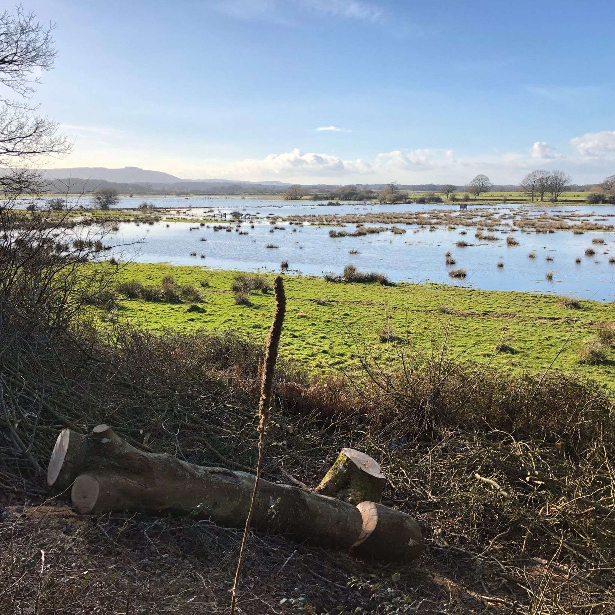
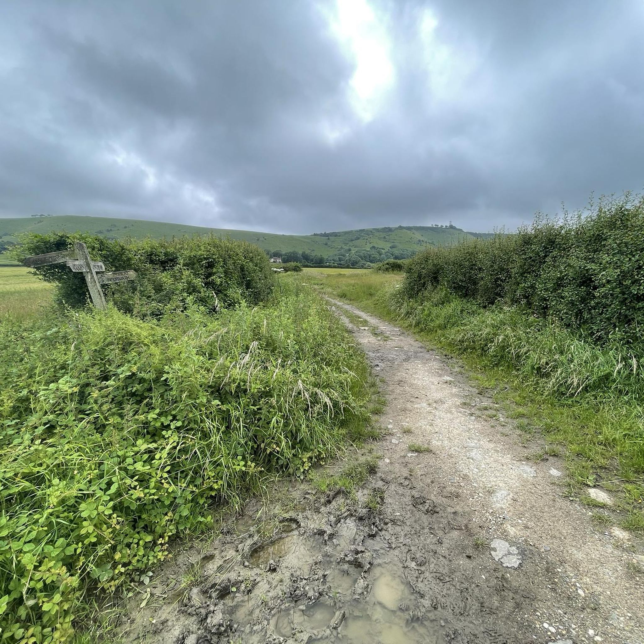
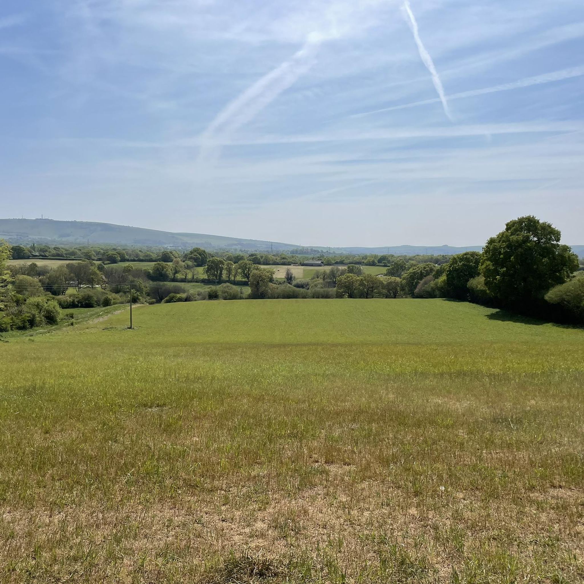
Tips from the Community

Lots of old railway infastruction still in place or use changed. From bridges, a tunnel, railway crossings and old station platforms.
1
0


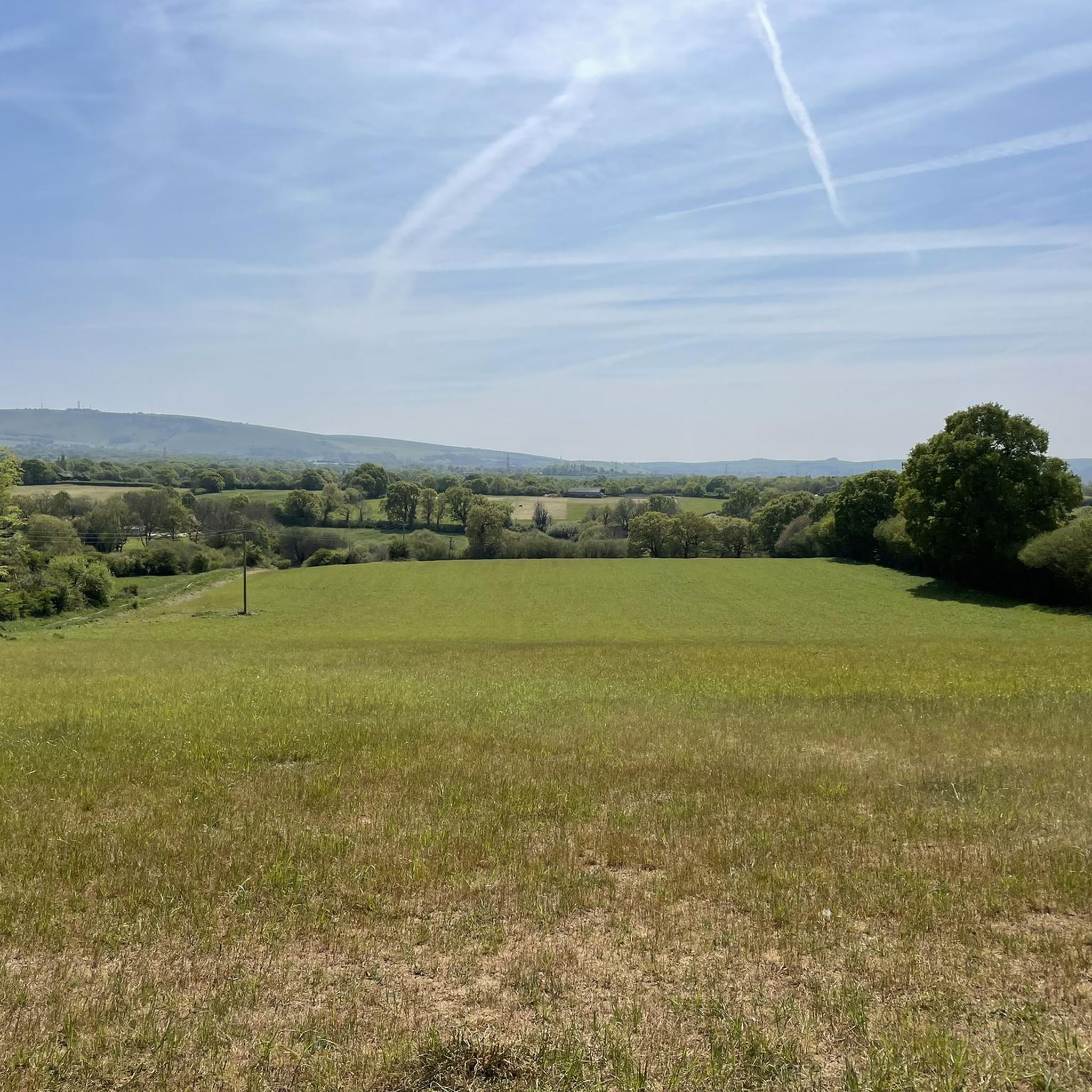
a great stop for sightseeing - no shade or cover but worth the view regardless
0
0


Very picturesque. Check out the view from the bridge.
0
0


Frequently Asked Questions
How many gravel bike trails are there in Woodmancote?
Woodmancote offers a network of over 45 gravel bike trails. These routes vary in difficulty, with 8 easy, 30 moderate, and 9 difficult options, ensuring there's something for every skill level.
Are there easy gravel bike trails suitable for beginners in Woodmancote?
Yes, Woodmancote has several easy gravel bike trails perfect for beginners. One excellent option is the Bramber Castle and High Street – Downs Link at Botolphs loop from Steyning, which is 10.1 miles (16.2 km) long and features moderate elevations, making it a great introduction to gravel biking in the area.
Are there any family-friendly gravel cycling routes around Woodmancote?
Many of the gravel routes in Woodmancote, particularly those along the relatively flat sections of the Downs Link, are suitable for families. These paths often feature compacted earth and gravel surfaces, providing a smooth ride away from traffic. Look for routes marked as 'easy' for the most family-friendly experiences.
Can I find circular gravel bike routes in the Woodmancote area?
Yes, many of the gravel bike trails around Woodmancote are designed as circular loops. For example, the Downs Link along the River Adur – View of Shoreham Estuary loop from Steyning offers a 23.0-mile (37.0 km) circular ride that follows the River Adur and provides scenic views.
What are some scenic gravel bike trails with good views near Woodmancote?
The region is known for its open countryside and river valley views. The Downs Link along the River Adur – View of Shoreham Estuary loop from Steyning offers picturesque vistas towards the Shoreham Estuary. Additionally, routes that traverse the higher ground or open fields often provide expansive views of the surrounding Sussex landscape.
Are there challenging gravel biking options for experienced riders?
While many routes feature gentle undulations, some trails offer more challenging sections. The area has 9 routes classified as 'difficult' which may include longer distances, more significant elevation changes, or varied terrain. For a moderate challenge, consider the West Grinstead Station – Parkstreet Lane Bridge loop from Henfield, which covers over 31 miles with notable elevation.
Where can I find parking for gravel bike trails in Woodmancote?
Parking is generally available in and around the villages that serve as common starting points for these trails, such as Steyning or Henfield. Many routes, especially those utilizing the Downs Link, have designated parking areas nearby. Always check local signage for specific parking regulations and fees.
How can I reach the gravel trails around Woodmancote using public transport?
Public transport options to the Woodmancote area typically involve bus services connecting from larger towns like Brighton or Worthing. Some routes, particularly those incorporating sections of the Downs Link, may be accessible from points near former railway stations, though direct train access to the immediate trailheads is limited. Planning your journey in advance with local bus timetables is recommended.
Are there any pub stops or cafes along the gravel bike routes near Woodmancote?
Yes, the villages and hamlets scattered throughout the Woodmancote area often feature charming pubs and cafes. Routes that pass through places like Steyning, Bramber, or Henfield are likely to offer opportunities for refreshments. The Bramber Castle and High Street – West Grinstead Station loop from Steyning, for instance, passes through Bramber, which has local amenities.
What kind of attractions or landmarks can I see along the gravel bike trails?
The gravel bike trails around Woodmancote offer access to several interesting landmarks. You can cycle past historic sites like West Grinstead Station and the ruins of Bramber Castle. Natural features such as Ditchling Beacon and Devil's Dyke are also within reach, offering stunning views and historical context.
What is the best time of year for gravel biking in Woodmancote?
Spring and autumn are generally considered the best times for gravel biking in Woodmancote. The weather is typically milder, and the natural scenery is particularly vibrant with spring blooms or autumn foliage. Summer can also be pleasant, but trails may be busier. Winter rides are possible, but conditions can be muddy, especially on unpaved sections.
What should I wear for gravel biking in Woodmancote, especially in autumn or winter?
For autumn and winter gravel biking in Woodmancote, layering is key. Opt for moisture-wicking base layers, an insulating mid-layer, and a waterproof/windproof outer shell. Gloves, a warm hat or buff, and waterproof cycling shoes or overshoes are highly recommended to combat the colder, potentially wet conditions. Always check the local weather forecast before heading out.
What do other gravel bikers think about the trails in Woodmancote?
The gravel bike trails in Woodmancote are highly rated by the komoot community, with an average score of 4.6 stars from over 50 reviews. Riders frequently praise the varied terrain, the peaceful sections along the Downs Link, and the beautiful open countryside views. Many appreciate the mix of easy and moderate routes available.
Are there any longer gravel biking routes for extended rides?
Yes, for those seeking longer rides, Woodmancote offers several options. The West Grinstead Station – Parkstreet Lane Bridge loop from Henfield is a substantial 31.6-mile (50.8 km) route, providing a more extended gravel biking experience through the region's diverse landscapes.
Are there specific trails that follow the Downs Link?
Absolutely. The Downs Link, a disused railway line, forms a significant part of the gravel biking network in Woodmancote. Routes like the West Grinstead Station – The Downs Link loop from Woodmancote directly incorporate sections of this multi-use trail, offering a relatively flat and consistent surface for gravel bikes.
Most popular routes around Woodmancote
Most popular attractions around Woodmancote

Get inspired with the komoot mobile app


Explore more
Browse the best Gravel rides in other regions.
