The best gravel rides around Lower Beeding
4.4
(43)
428
riders
48
rides
Gravel biking around Lower Beeding offers a network of routes across varied terrain in West Sussex. The area is characterized by extensive woodlands, including St Leonard's Forest, and disused railway lines like the Downs Link. These features provide both challenging gravel tracks and relatively flat, traffic-free paths. The landscape also incorporates river valleys, such as along the River Adur, and is part of the High Weald Area of Outstanding Natural Beauty.
Best gravel bike trails around Lower Beeding
- The most…
Last updated: July 3, 2026
5.0
(4)
47
riders
70.8km
03:56
450m
450m
Moderate gravel ride. Good fitness required. Mostly paved surfaces. Suitable for all skill levels.
4.8
(12)
107
riders
Moderate gravel ride. Good fitness required. Mostly paved surfaces. Suitable for all skill levels.

Sign up for free
5.0
(1)
12
riders
Easy gravel ride. Great for any fitness level. Mostly paved surfaces. Suitable for all skill levels.
5.0
(1)
12
riders
28.8km
01:49
190m
190m
Moderate gravel ride. Good fitness required. Mostly paved surfaces. Suitable for all skill levels.
3.0
(1)
9
riders
41.1km
02:44
370m
370m
Moderate gravel ride. Good fitness required. Mostly paved surfaces. Suitable for all skill levels.
Get access to more routes and recommendations from other explorers.
Sign up for free
Already have an account?
Our route recommendations are based on thousands of hikes, rides, and runs completed by other people on komoot.
Start today with a free account
Your next adventure awaits.
Login or Signup
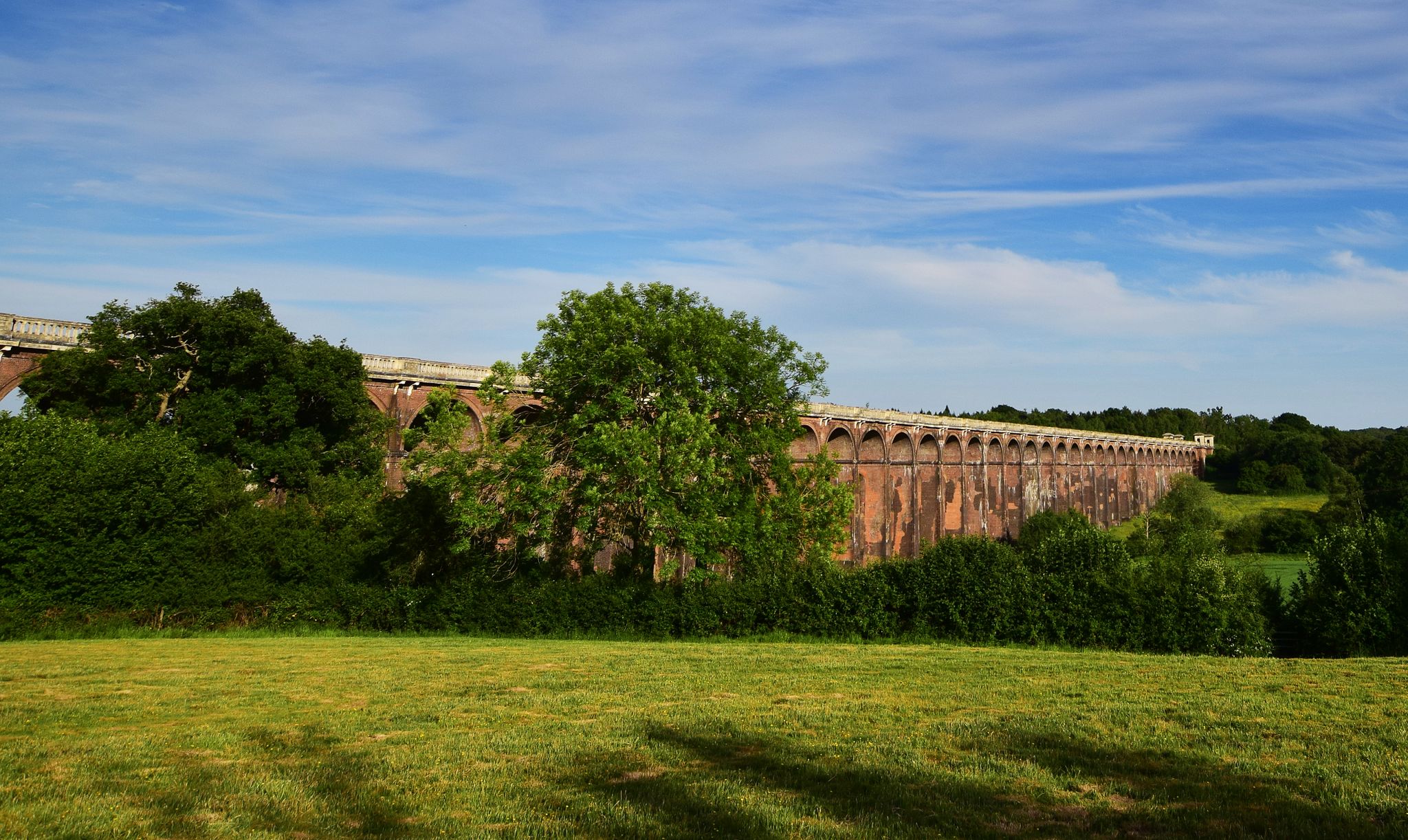
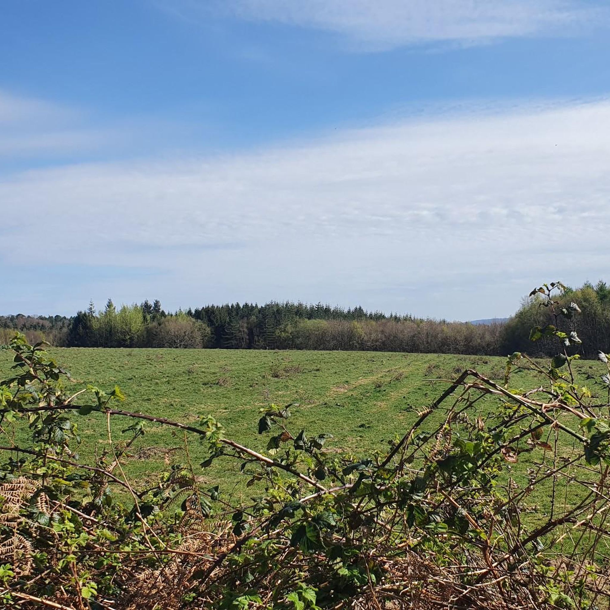
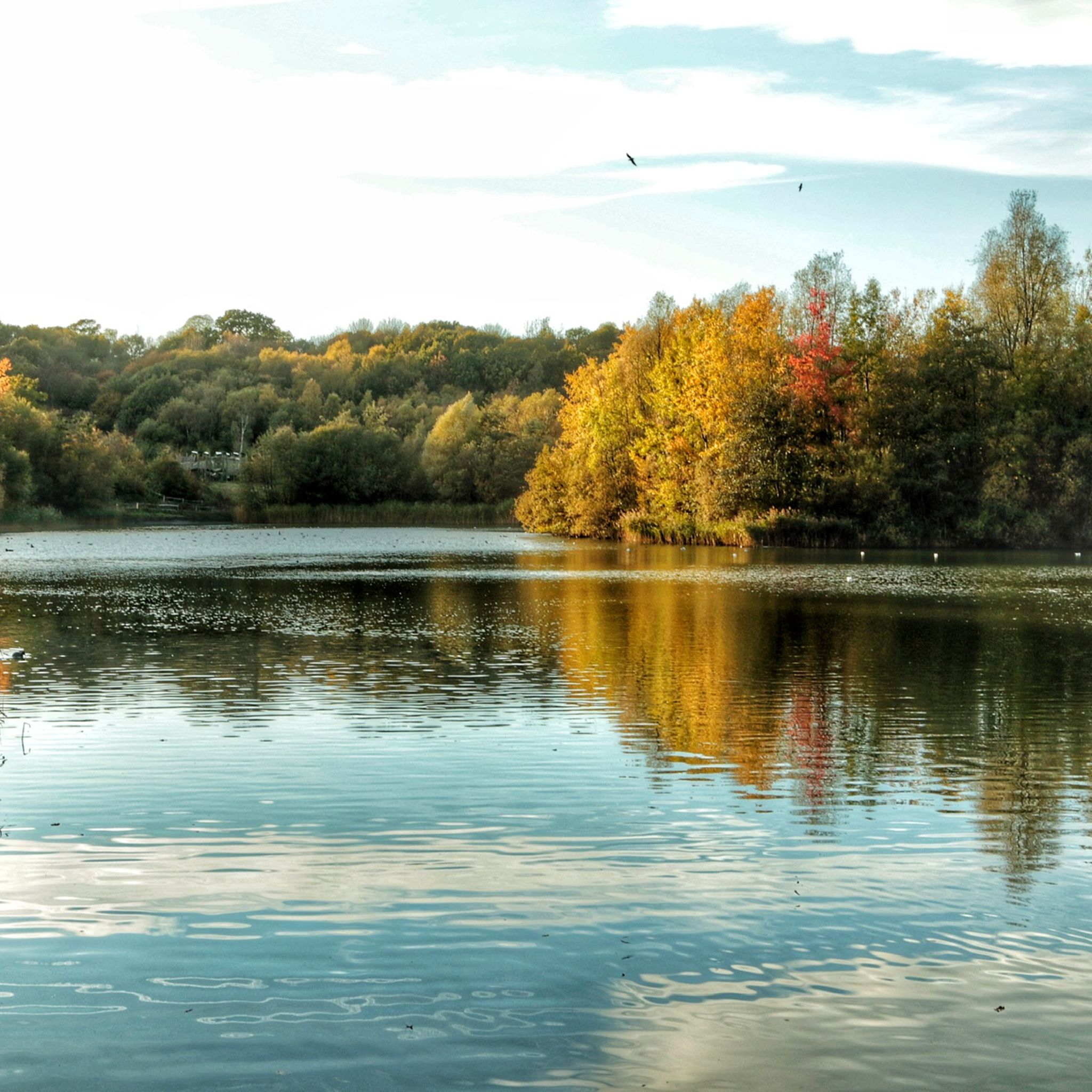
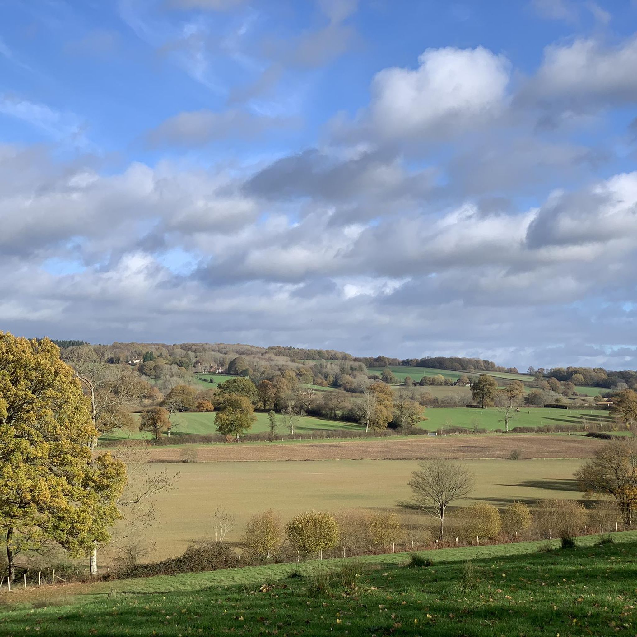
Other adventures around Lower Beeding

Tips from the Community

old platform , before the new station was built
0
0

Lots of old railway infastruction still in place or use changed. From bridges, a tunnel, railway crossings and old station platforms.
1
0


Lovely route to ride
0
0

If only all old railways could be a good as this one. Whitstable to Folkestone on the Canterbury South is on my hitlist!!
0
0

Frequently Asked Questions
How many gravel bike trails are available around Lower Beeding?
There are over 60 gravel bike trails around Lower Beeding, offering a wide range of options for different skill levels and preferences. These routes are highly rated by the komoot community, with an average score of 4.5 stars.
What kind of terrain can I expect on gravel bike trails near Lower Beeding?
The terrain around Lower Beeding is quite varied. You'll find relatively flat, traffic-free paths along disused railway lines like the Downs Link, which are ideal for leisurely rides. For a more challenging experience, St Leonard's Forest offers bridleways and gravel tracks through woodlands, with some segments potentially requiring more effort. The landscape also includes river valleys and is part of the High Weald Area of Outstanding Natural Beauty.
Are there any easy or family-friendly gravel routes in Lower Beeding?
Yes, many routes around Lower Beeding are suitable for families and beginners, particularly those utilizing the Downs Link. These paths are generally flat and traffic-free. An example of an easy route is the Downs Link Trail – Christ's Hospital Old Platform loop from Southwater, which is 15.2 miles (24.4 km) long.
What are some notable natural features or landmarks I can see while gravel biking in the area?
You can explore diverse natural beauty, including extensive woodlands like St Leonard's Forest and picturesque waterscapes. The spring at Plummer's Plain in Lower Beeding marks the official source of the River Ouse. Nearby, you can visit Ardingly Reservoir, a Local Nature Reserve, or Tilgate Lake. The area also features historical sites like West Grinstead Station.
Are there any circular gravel bike routes available?
Yes, many of the gravel routes around Lower Beeding are designed as loops. For instance, the Parkstreet Lane Bridge – Rudgwick Double Bridge loop from Horsham is a moderate 17.9 miles (28.8 km) circular path that explores local terrain, including sections of the Downs Link.
What is the best time of year to go gravel biking in Lower Beeding?
Lower Beeding offers enjoyable gravel biking throughout much of the year. Spring and autumn provide pleasant temperatures and beautiful scenery, especially with the rhododendrons and azaleas in bloom at nearby Leonardslee Lakes & Gardens. Summer is also great, though some woodland paths might be shaded. Winter rides are possible, but be prepared for potentially muddier conditions on unpaved sections.
Can I bring my dog on the gravel trails around Lower Beeding?
Many public bridleways and paths in the Lower Beeding area, including sections of the Downs Link and St Leonard's Forest, are generally dog-friendly. However, it's always best to check specific route regulations and keep dogs under control, especially around livestock or in nature reserves. Always carry water for your dog and be mindful of other trail users.
Where can I find parking for gravel biking routes in Lower Beeding?
Parking is generally available at various access points along the Downs Link and near trailheads for routes in St Leonard's Forest. For specific parking information, it's advisable to check the starting points of individual routes on komoot or local council websites. For example, information about parking near St Leonard's Forest can be found on the Horsham District Council website: Horsham St Leonards Forest.
Are there any challenging gravel routes for experienced riders?
Yes, for experienced gravel bikers seeking a challenge, St Leonard's Forest offers more demanding bridleways and gravel tracks. These routes can feature varied terrain and some steeper sections. Additionally, longer routes like the West Grinstead Station – Downs Link along the River Adur loop from Horsham, at 40.2 miles (64.7 km), provide a significant endurance test.
What do other gravel bikers enjoy most about the trails in Lower Beeding?
The area is highly rated by the komoot community, with an average score of 4.5 stars from over 40 reviews. Reviewers often praise the diverse landscape, from the peaceful, traffic-free sections of the Downs Link to the more adventurous woodland trails of St Leonard's Forest, and the scenic beauty of the High Weald Area of Outstanding Natural Beauty.
Are there any places to eat or drink near the gravel bike trails?
Lower Beeding and the surrounding villages offer various pubs and cafes where cyclists can refuel. While specific establishments are not listed in the route data, you'll find options in nearby towns like Horsham or along popular cycling routes, especially those passing through villages. It's a good idea to plan your route to include stops for refreshments.
Most popular routes around Lower Beeding
Most popular attractions around Lower Beeding

Get inspired with the komoot mobile app


Explore more
Browse the best Gravel rides in other regions.
