The best gravel rides around Coleshill
3.8
(4)
31
riders
4
rides
Gravel biking around Coleshill features a network of routes primarily utilizing canal paths, disused railway lines, and quiet country lanes. The terrain is generally undulating with gentle elevation changes, characteristic of the West Midlands landscape. This area offers a mix of rural scenery and accessible pathways, making it suitable for various gravel cycling experiences. The region is characterized by picturesque rolling hills, riverine scenery from the River Cole and River Blythe, and preserved green belt land.
Best gravel bike trails…
Last updated: July 3, 2026
3.0
(1)
6
riders
53.3km
03:46
270m
270m
Moderate gravel ride. Good fitness required. Mostly paved surfaces. Suitable for all skill levels.
7
riders
40.6km
02:27
270m
270m
Moderate gravel ride. Good fitness required. Mostly paved surfaces. Suitable for all skill levels.

Sign up for free
4.5
(2)
6
riders
76.3km
04:06
290m
290m
Moderate gravel ride. Good fitness required. Mostly paved surfaces. Suitable for all skill levels.
4.0
(1)
7
riders
Moderate gravel ride. Good fitness required. Mostly paved surfaces. Suitable for all skill levels.
4
riders
45.2km
03:00
310m
310m
Moderate gravel ride. Good fitness required. Mostly paved surfaces. Suitable for all skill levels.
Our route recommendations are based on thousands of hikes, rides, and runs completed by other people on komoot.
Start today with a free account
Your next adventure awaits.
Login or Signup
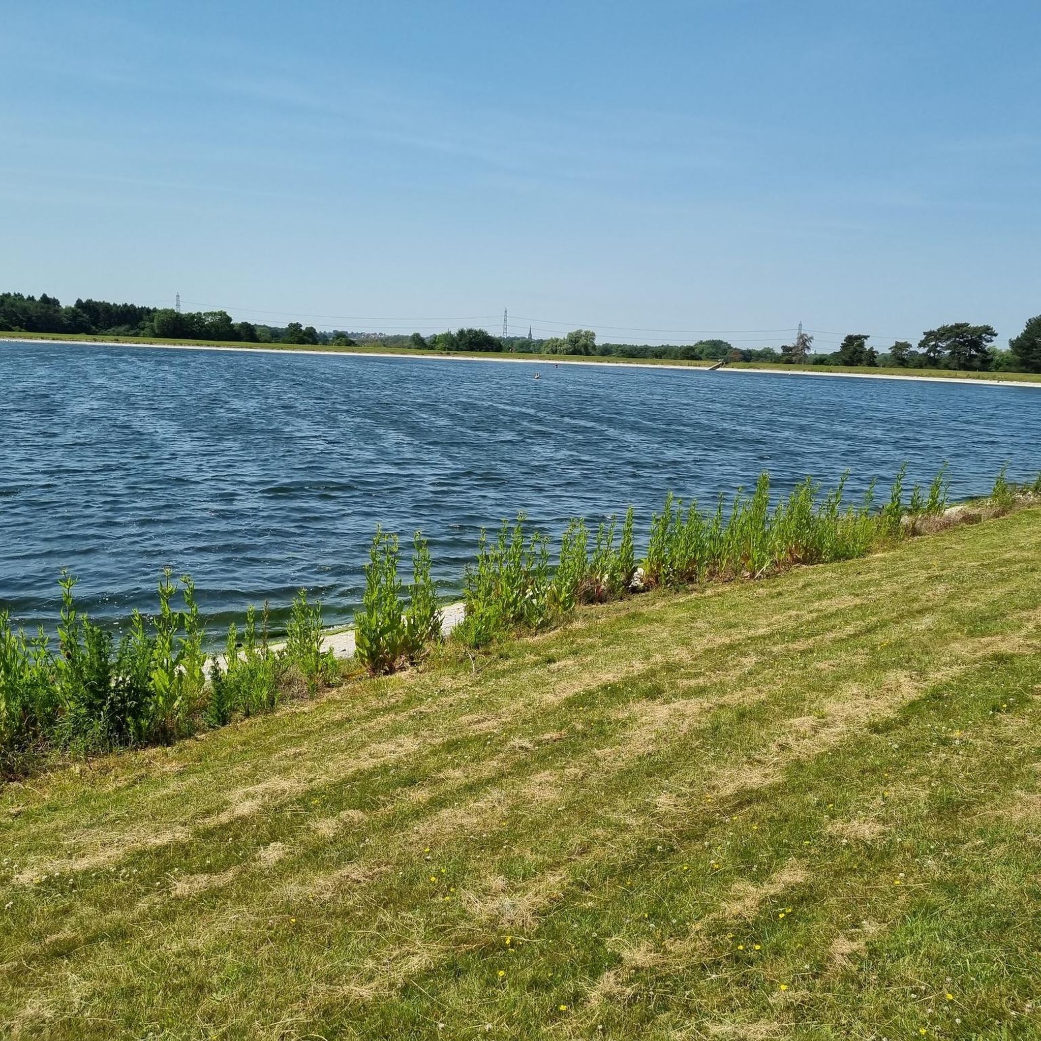
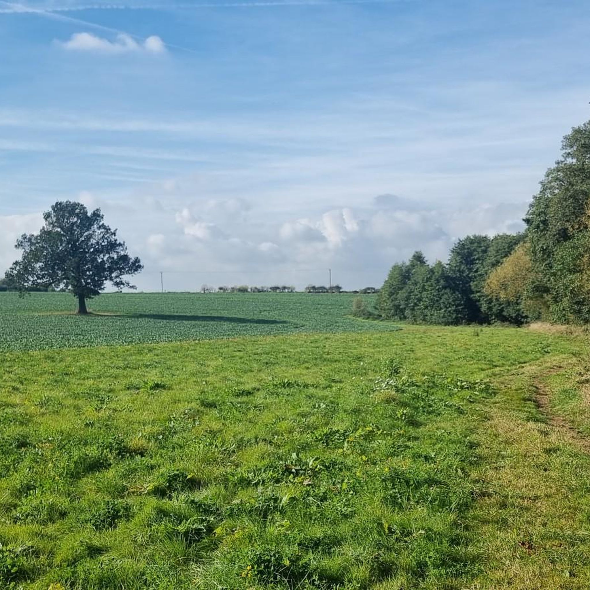
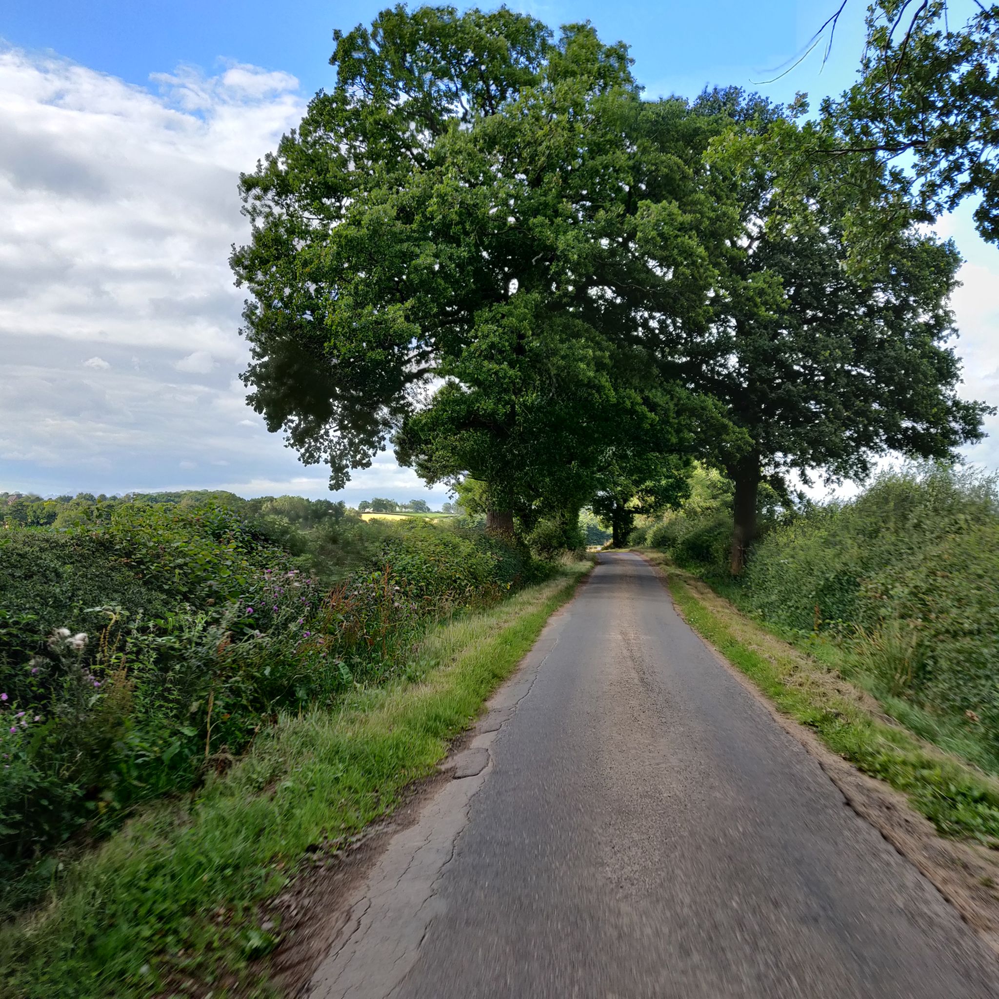
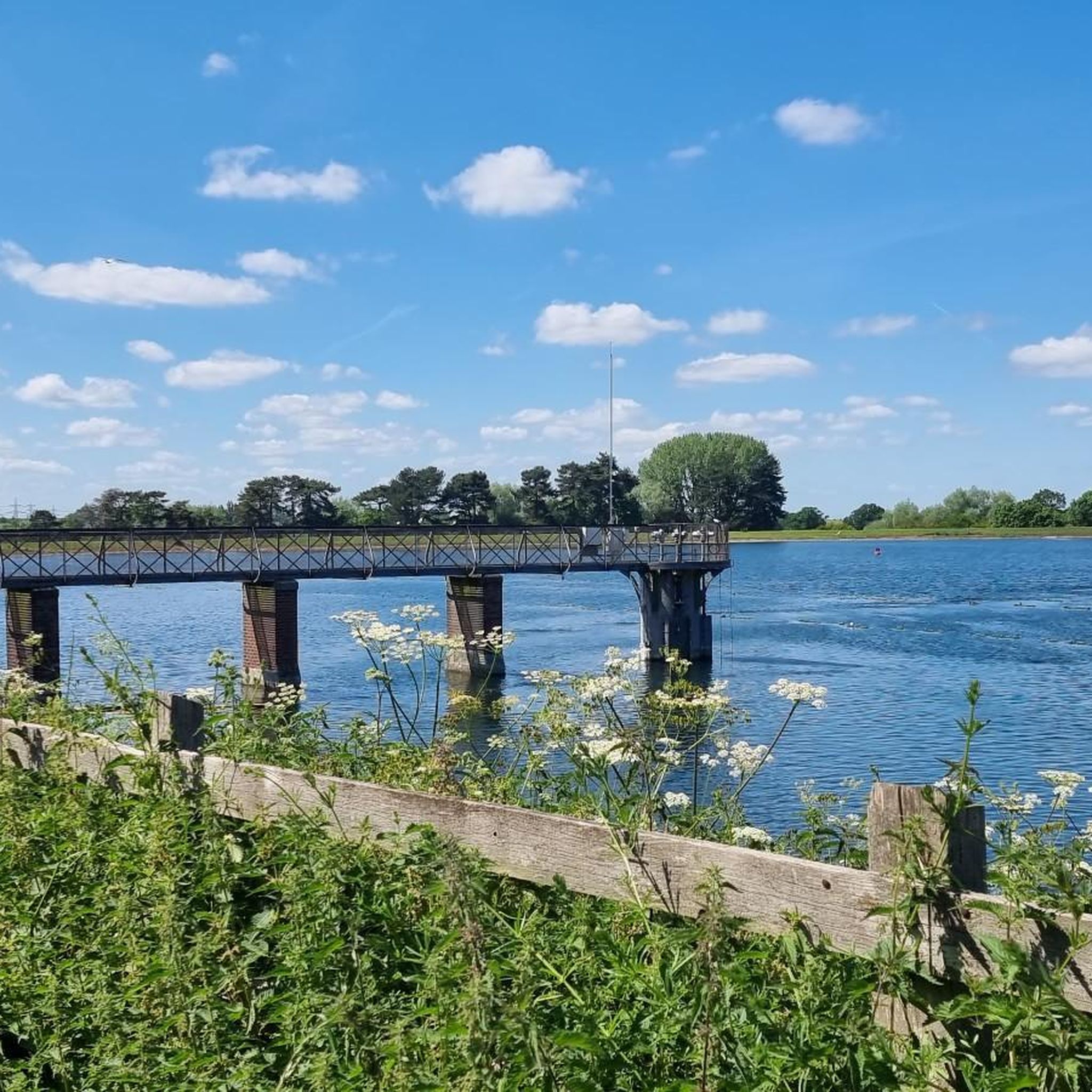
Tips from the Community

Popular junction of the Coventry canal which passes over the river Tame just past the junction.. Travel towards Birmingham and you will pass the famous white swing bridge near Drayton Bassett and Drayton Manor. Walk along the canal to Middleton lakes RSPB site, Middleton Hall and Kingsbury water park.
0
0

Such a towpath (known in German as a towpath or Leinpfad), which runs alongside the river or canal, was an essential part of the transport infrastructure in earlier times. Before ships could move by motor power, horses walked along the bank, pulling the boat against the current. This activity was called "treideln" in German, and thus the "treidelpfad" got its name. Where these paths – running directly along the bank – have survived to this day, they no longer serve their original purpose, but are still popular: namely, with hikers and cyclists.
0
0
Rivers and canals crisscross the country, as they were a crucial part of the transport infrastructure – especially in the early days of industrialization. Factories needed the delivery of raw materials in previously unknown quantities, and finished goods also had to find their way to traders. Many of the canals originated in this era. Later, rail and, even later, trucks took over the task of transporting goods. When building the artificial waterways, however, it was important to consider that differences in elevation always had to be overcome, and so locks are often located along the canals – at varying intervals, depending on the local situation. Only with their help was shipping possible.
0
0

The castle was founded after the Norman Conquest of 1066; with development through to the Tudor period. It has been described by the architectural historian Anthony Emery as "the finest surviving example of a semi-royal palace of the later middle ages, significant for its scale, form and quality of workmanship". Kenilworth played an important historical role: it was the subject of the six-month-long siege of Kenilworth in 1266, thought to be the longest siege in medieval English history, and formed a base for Lancastrian operations in the Wars of the Roses. Kenilworth was the scene of the removal of Edward II from the English throne, the perceived French insult to Henry V in 1414 of a gift of tennis balls (said by John Strecche to have prompted the campaign that led to the Battle of Agincourt), and the Earl of Leicester's lavish reception of Elizabeth I in 1575. It has been described as "one of two major castles in Britain which may be classified as water-castles or lake-fortresses...
0
0

Drop down and corner past a medieval castle. Pretty cool.
0
0

This is a pretty stone bridge over the Birmingham and Fazeley Canal with a walkway beneath. Following on from the bridge is Minworth Locks, which allows canal boats to pass.
1
0
An ancient area of woodland with a mixture of native tree species and a wide range of animals, insects and birds. The area is owned by Tarmac and the Ministry of Defence, some areas are occasionally closed for military exercises so always follow signs.
1
0

Nicknamed the Curly Wyrley, the Wyrley & Essington Canal meanders peacefully through the English Midlands. It has few boats, but it is popular with recreational walkers, runners and cyclists.
0
0
Frequently Asked Questions
What kind of terrain can I expect on gravel bike trails around Coleshill?
The gravel biking routes around Coleshill primarily utilize canal paths, disused railway lines, and quiet country lanes. The terrain is generally undulating with gentle elevation changes, characteristic of the West Midlands landscape. This offers a mix of rural scenery and accessible pathways.
Are there any long-distance gravel cycling routes near Coleshill?
Yes, Coleshill offers several options for longer rides. For example, the Perry Barr Locks – Canal Path Near Birmingham loop from Chester Road is a substantial 39.8 miles (64.1 km) route following canal towpaths. Another long option is the Engine Arm Aqueduct – Galton Tunnel loop from Erdington, which covers 47.4 miles (76.2 km).
What are some challenging gravel trails in the Coleshill area?
For those seeking a more challenging ride, the Engine Arm Aqueduct – Galton Tunnel loop from Erdington is a notable option. This 47.4-mile (76.2 km) trail leads through canal-side environments and urban green spaces, and is rated as difficult.
Are there any family-friendly or easy gravel bike routes suitable for beginners?
Many of the canal paths and disused railway lines around Coleshill offer relatively flat and traffic-free sections, making them suitable for families and beginners. While specific 'easy' routes are not explicitly named in the data, the general nature of the terrain, with gentle elevation changes, provides accessible options for less experienced riders.
What kind of historical or natural landmarks can I see along the gravel routes?
You can encounter various points of interest. For instance, the Kenilworth Castle – Kenilworth Greenway loop from Berkswell incorporates sections with views of historical landmarks like Kenilworth Castle. Other notable attractions in the wider area include the National Cyclists' Memorial, Meriden, and natural sites like the Tame Valley Wetlands Community Wetland.
Are there any circular gravel bike routes around Coleshill?
Yes, many of the routes in the Coleshill area are designed as loops. Examples include the Hatton Locks – Hatton Locks loop from Olton and the Birmingham Airport Viewpoint – Knowle Locks loop from Water Orton, both offering circular journeys through varied landscapes.
What is the best time of year to go gravel biking in Coleshill?
The canal paths and disused railway lines that form the backbone of Coleshill's gravel routes are generally suitable for riding year-round. Spring and autumn offer pleasant temperatures and vibrant scenery, while summer provides longer daylight hours. Even in winter, these well-maintained surfaces can be enjoyable, though conditions may be muddier on unpaved sections.
What do other gravel bikers say about the routes in Coleshill?
The routes in Coleshill are highly rated by the komoot community, with an average score of 4.3 stars from around 7 reviews. More than 30 gravel bikers have used komoot to explore the varied terrain, often praising the accessible canal towpaths and the mix of rural and green urban spaces.
Are there any routes that pass by pubs or places to stop for refreshments?
While specific pub stops are not detailed for every route, the area around Coleshill is dotted with villages and towns. For example, the village of Berkswell, which is near the Kenilworth Castle – Kenilworth Greenway loop, features The Bear Inn, a popular spot for refreshments.
How many gravel bike trails are available in the Coleshill area?
There are at least 7 gravel bike tours available in the Coleshill area, ranging in difficulty from moderate to difficult, offering a good selection for different skill levels and preferences.
What is the typical elevation gain on gravel bike routes around Coleshill?
The routes around Coleshill are characterized by gentle elevation changes. For example, routes like the Perry Barr Locks – Canal Path Near Birmingham loop have an elevation gain of approximately 286 meters, while the Birmingham Airport Viewpoint – Knowle Locks loop has around 258 meters of ascent. This makes for an undulating but not overly strenuous riding experience.
Most popular attractions around Coleshill

Get inspired with the komoot mobile app


Explore more
Browse the best Gravel rides in other regions.
