The best gravel rides around Ditchling
4.7
(67)
649
riders
77
rides
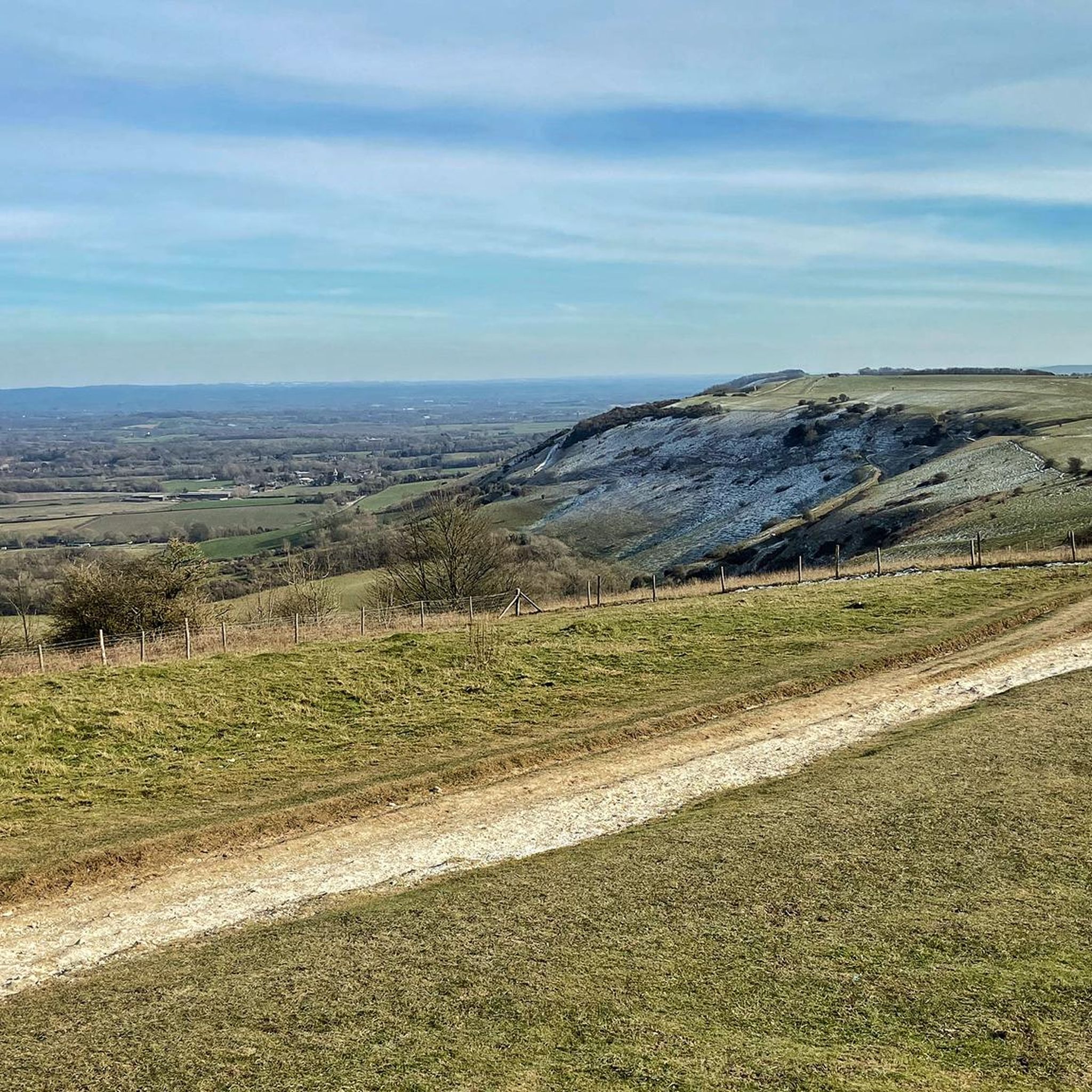
Gravel biking around Ditchling offers diverse and challenging landscapes within the South Downs National Park. The region features rolling chalk downland, expansive grasslands, and sections of woodland, providing varied terrain for cyclists. Ditchling Beacon, a prominent hill at 248 meters, is a notable landmark offering panoramic views and challenging ascents. The underlying chalk geology creates a unique riding surface, ranging from firm tracks to looser sections.
Best gravel bike trails around Ditchling
- The most popular gravel bike trail is Ditchling Beacon Climb – Blackcap Summit and Trig Point loop from Plumpton, a 49.5 miles (79.7 km) trail that takes 7 hours 56 minutes to complete. This difficult route features significant elevation gain and challenging climbs across the downland.
- Another top favourite among local gravel bikers is Devil's Dyke – South Downs Way Trail loop from Moulsecoomb, a difficult 32.6 miles (52.4 km) path. This route incorporates sections of the South Downs Way, offering extensive off-road riding through rolling chalk hills.
- Local gravel bikers also love the View of Devil's Dyke – Devil's Dyke loop from Preston Park, a 33.6 miles (54.1 km) trail leading through varied terrain with panoramic views, often completed in about 3 hours 59 minutes.
- Gravel biking around Ditchling is defined by chalk downland, extensive grasslands, and woodlands. The network offers options for different ability levels, from moderate scenic trails to difficult, long climbs.
- The routes in Ditchling are highly rated by the komoot community with an average score of 4.7 stars from over 60 reviews. More than 700 gravel bikers have used komoot to explore Ditchling's varied terrain.
Last updated: October 6, 2026
5.0
(6)
118
riders
79.7km
06:45
1,520m
1,520m
Hard gravel ride. Very good fitness required. Mostly paved surfaces. Suitable for all skill levels.
5.0
(5)
52
riders
52.2km
03:29
600m
600m
Hard gravel ride. Very good fitness required. Mostly paved surfaces. Suitable for all skill levels.

4.7
(7)
51
riders
54.4km
03:15
380m
380m
Moderate gravel ride. Good fitness required. Mostly paved surfaces. Suitable for all skill levels.
10
riders
Hard gravel ride. Very good fitness required. Mostly paved surfaces. Suitable for all skill levels.
3.8
(4)
15
riders
34.7km
02:24
410m
410m
Hard gravel ride. Good fitness required. You may need to push your bike for some segments of this route.
Get access to more routes and recommendations from other explorers.
Already have an account?
Our route recommendations are based on thousands of hikes, rides, and runs completed by other people on komoot.
Start today with a free account
Your next adventure awaits.
Tips from the Community

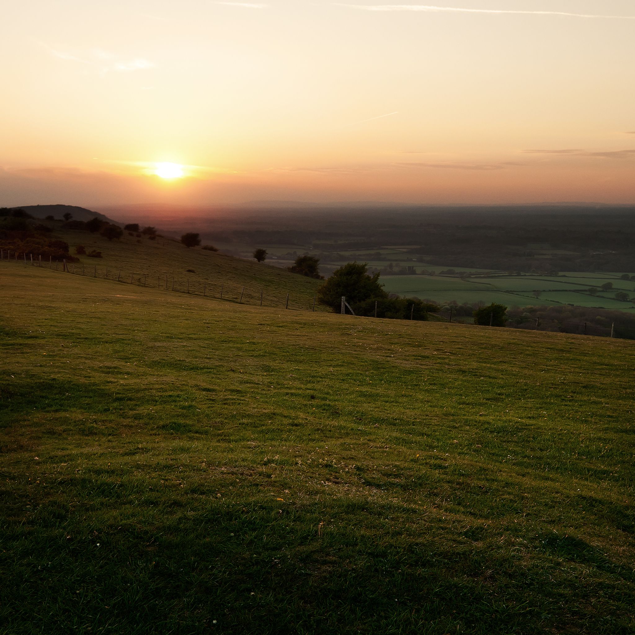
nice steady climb with breathtaking views, if you turn left at the gate (before crossing) you will see a path to your further left leading to a pub called Sheppard and Dog with a nice beer garden - this is a S2 descent so be careful
0
0

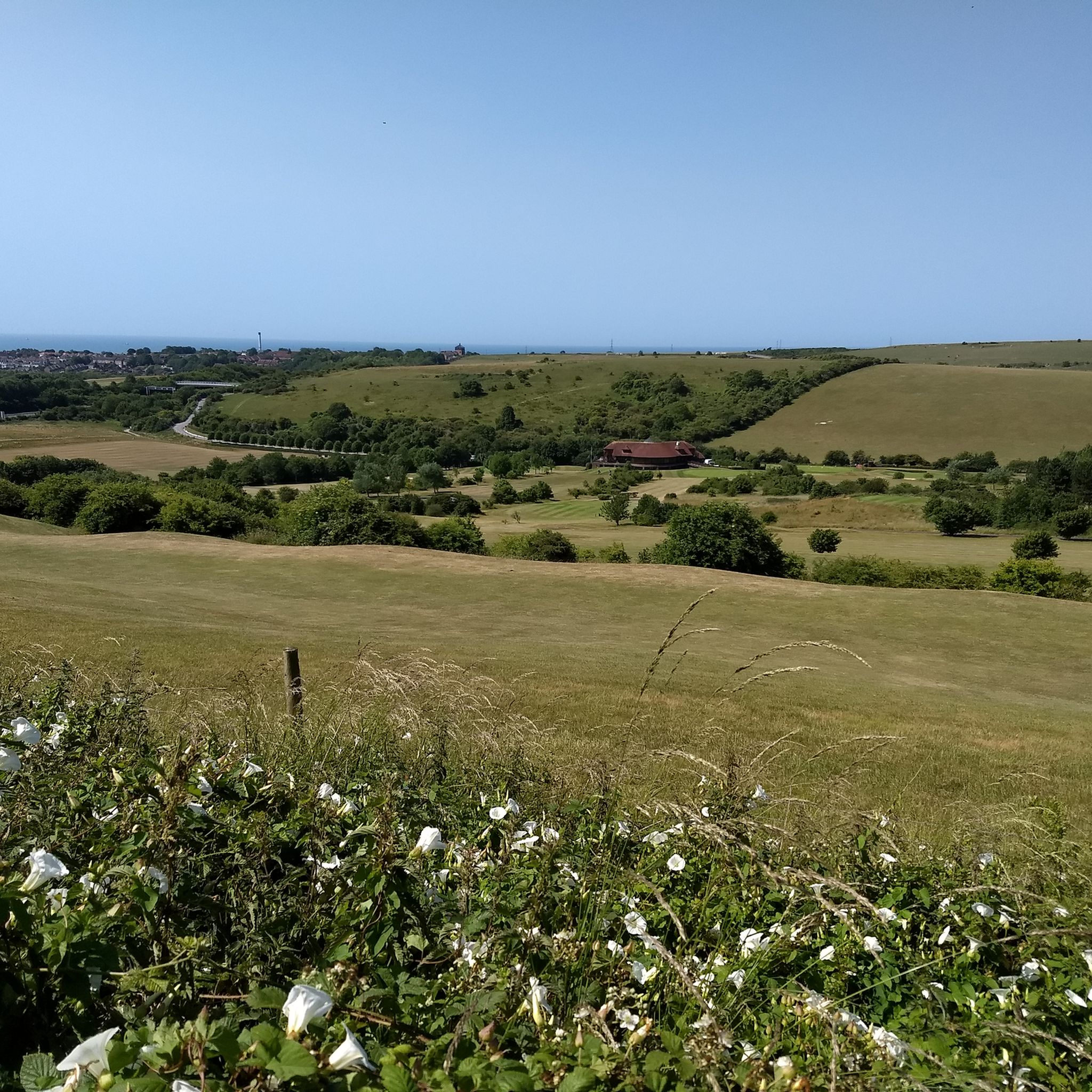
Very picturesque. Check out the view from the bridge.
0
0

The little detour from the classical London Brighton epic ride is worth some stunning views. Can be quite windy though!
1
0


Decent shop with hot food over the counter, plus some tea rooms.
0
0

Follow the trail around the ring for great views over Findon to Worthing
0
0

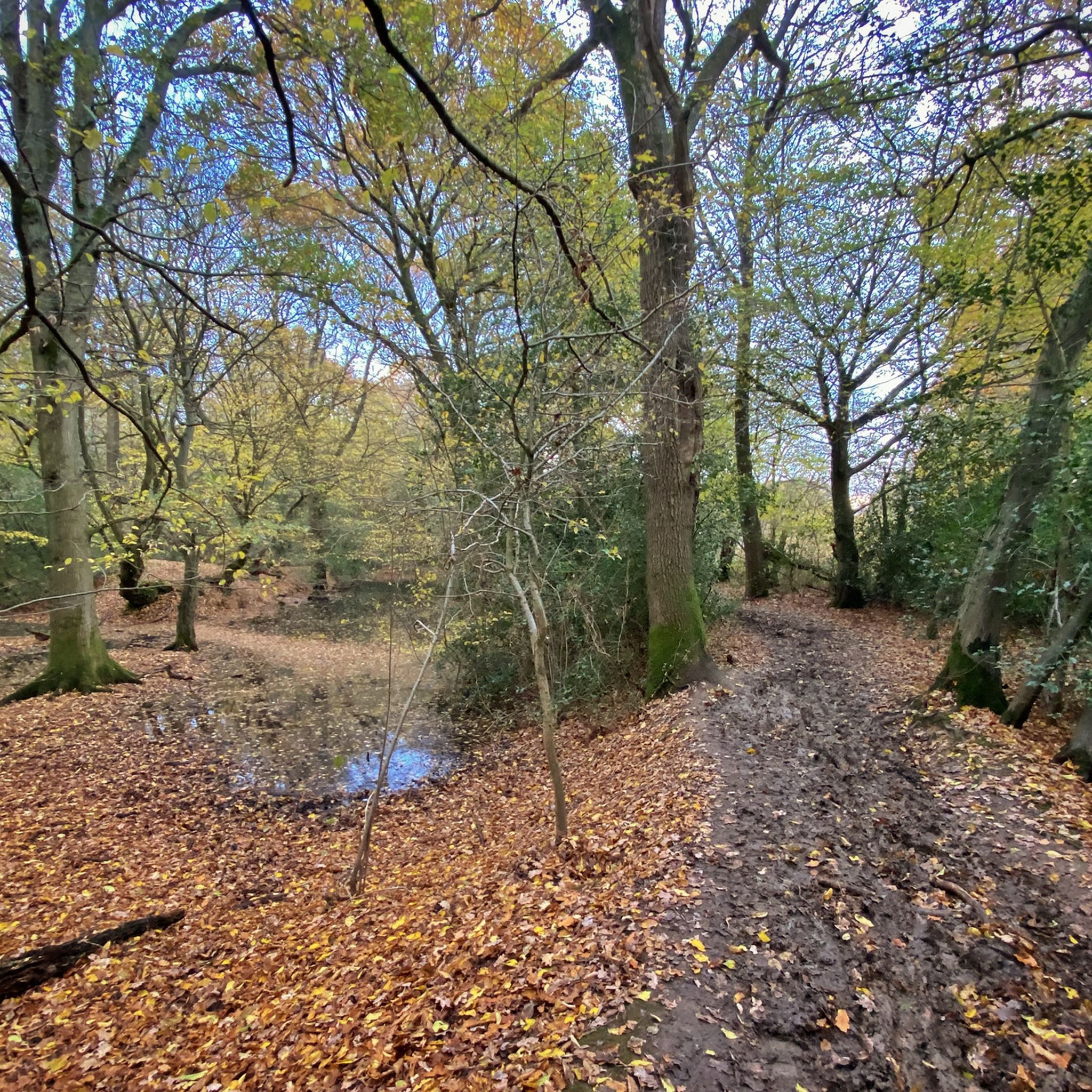
The Downs Link is a section of the long-distance bridleway through the West Sussex countryside. Along the way you'll enjoy scenic views of rolling fields, woodlands, open countryside, and sections will cross the River Adur.
1
0
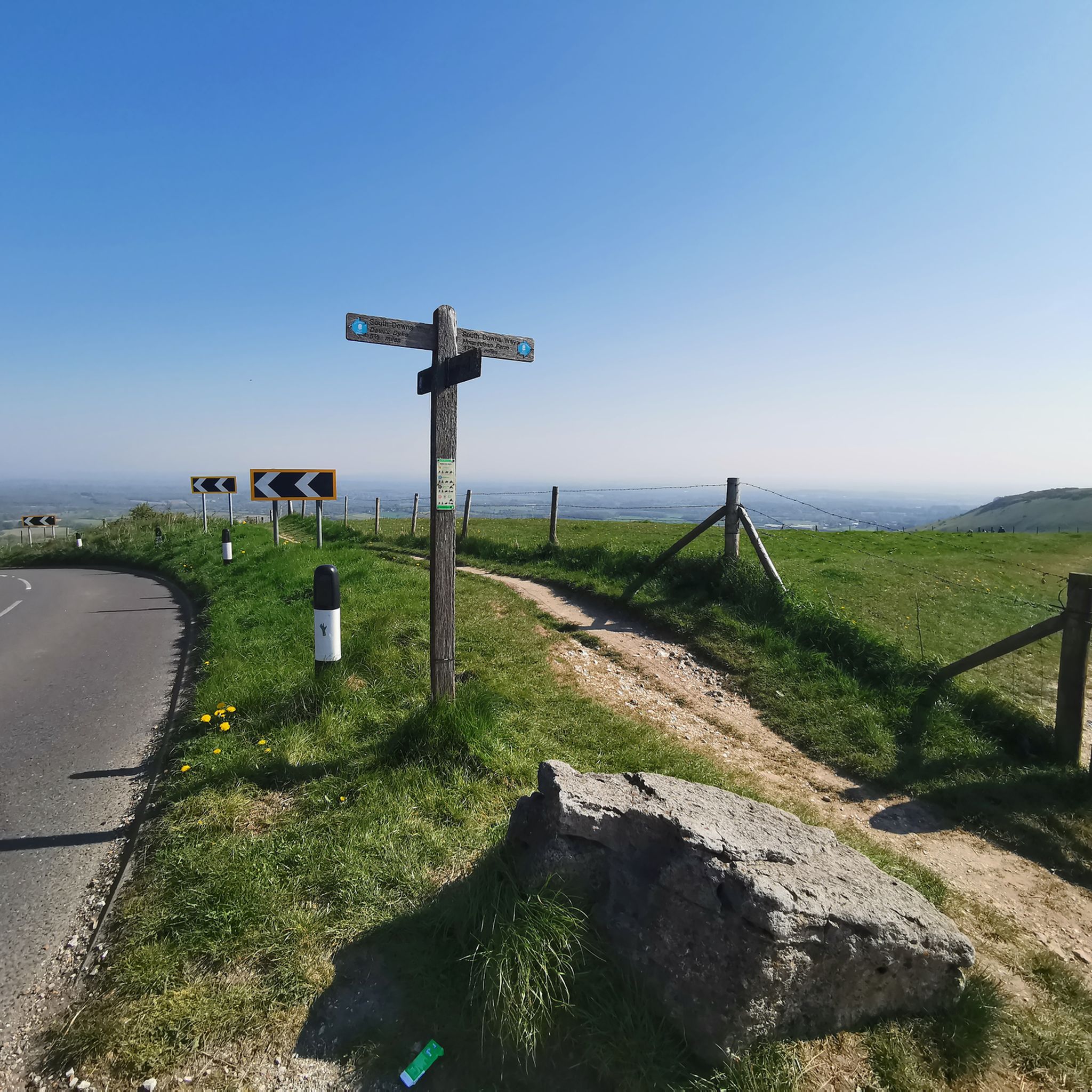
Devil's Dyke Road heads to the Devil's Dyke from Brighton. It's a pretty place, with good views over the South Down's National Park.
0
0
Frequently Asked Questions
How many gravel bike trails are available in Ditchling?
Ditchling offers a wide selection of gravel biking routes, with over 100 trails available. These routes cater to various skill levels, from moderate scenic rides to challenging, long climbs across the South Downs National Park.
What are the different difficulty levels for gravel biking in Ditchling?
The gravel trails around Ditchling range from moderate to difficult. You'll find 52 moderate routes and 52 difficult routes, offering options for both experienced riders and those looking for a significant challenge. For example, the View of Devil's Dyke – Devil's Dyke loop from Preston Park is a moderate option, while the Ditchling Beacon Climb – Blackcap Summit and Trig Point loop from Plumpton is considered difficult due to its significant elevation gain.
What kind of terrain can I expect on Ditchling's gravel trails?
The terrain around Ditchling is diverse, primarily featuring rolling chalk downland, expansive grasslands, and sections of woodland within the South Downs National Park. The underlying chalk geology creates a unique riding surface, varying from firm, fast tracks to looser sections, which can be affected by weather conditions. Expect challenging climbs and exhilarating descents, especially around Ditchling Beacon.
Are there good viewpoints along the gravel routes in Ditchling?
Yes, Ditchling is renowned for its panoramic views. Many routes ascend to prominent landmarks like Ditchling Beacon, which offers stunning vistas across the Weald to the north and the English Channel to the south. Other routes, such as the View of Devil's Dyke – Devil's Dyke loop from Preston Park, also provide extensive scenic overlooks.
Can I find circular gravel bike routes around Ditchling?
Yes, many of the gravel bike routes in Ditchling are designed as loops, allowing you to start and finish in the same location. Examples include the Devil's Dyke – South Downs Way Trail loop from Moulsecoomb and the Ditchling Beacon Climb – View from Plumpton Bostal loop from Preston Park, which offer varied distances and challenges.
What is the best time of year for gravel biking in Ditchling?
Spring and autumn are generally considered the best times for gravel biking in Ditchling. The weather is often milder, and the trails are less likely to be extremely muddy or dusty. Summer can be excellent, but trails can be very busy, especially on weekends. Winter riding is possible, but be prepared for colder temperatures, potentially muddy conditions, and shorter daylight hours.
Where can I park my car when cycling in Ditchling?
Parking is available in Ditchling village itself, and many routes start from nearby towns like Plumpton, Moulsecoomb, or Preston Park, which also offer parking facilities. Always check local signage for parking restrictions and fees.
How can I get to Ditchling by public transport for cycling?
Ditchling is accessible by public transport. The nearest train station is Plumpton, which is a short distance from Ditchling and offers connections to larger hubs. From there, you can cycle to the starting points of many routes. Buses also serve the village, though space for bikes may be limited.
Are there any cafes or pubs near the gravel trails in Ditchling?
Yes, Ditchling village itself has cafes and pubs where you can refuel. Many routes also pass through or near other villages and towns in the South Downs National Park, offering opportunities for refreshments. It's always a good idea to check opening times, especially if you're riding on weekdays or during off-peak seasons.
What notable landmarks or attractions can I see near the gravel bike trails?
Beyond the stunning natural beauty of the South Downs, you can encounter several interesting landmarks. Ditchling Beacon and Devil's Dyke are prominent natural features. You might also spot the historic Jack and Jill Windmills. For a different kind of attraction, some routes pass by serene spots like Dew Pond with Lone Tree.
What do other gravel bikers say about the trails in Ditchling?
The gravel biking routes around Ditchling are highly rated by the komoot community, with an average score of 4.7 stars from over 60 reviews. Riders often praise the diverse and challenging landscapes, the extensive network of trails, and the rewarding views from iconic spots like Ditchling Beacon.
Are there any permits required for gravel biking in the South Downs National Park near Ditchling?
Generally, no specific permits are required for cycling on public bridleways and byways within the South Downs National Park. However, it's crucial to stick to designated paths and respect private land. Always follow the Countryside Code and be mindful of other trail users.
Are there options for advanced gravel bikers looking for a significant challenge?
Absolutely. Ditchling is known for its challenging terrain, especially within the South Downs National Park. Advanced riders will appreciate routes with significant elevation gain and long distances, such as the Ditchling Beacon Climb – Blackcap Summit and Trig Point loop from Preston Park, which covers nearly 50 km with over 700 meters of climbing. The relentless, steep hills provide a true test of endurance.
Most popular routes around Ditchling
Most popular attractions around Ditchling

Get inspired with the komoot mobile app


Explore more
Browse the best Gravel rides in other regions.
