The best gravel rides around Tarring Neville
4.8
(22)
162
riders
37
rides
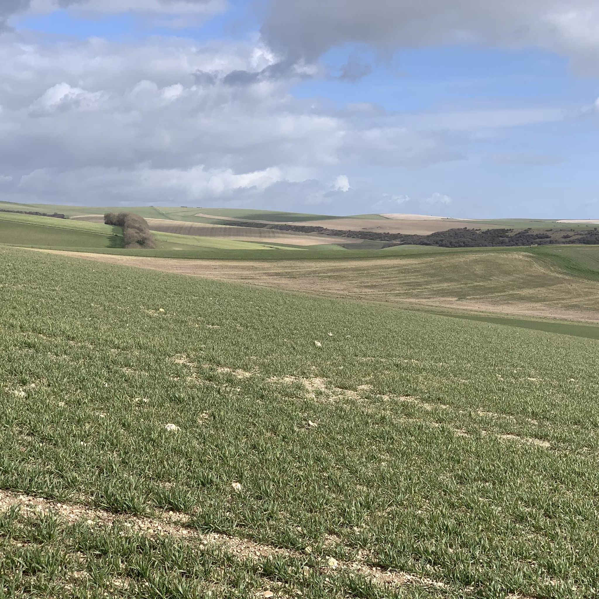
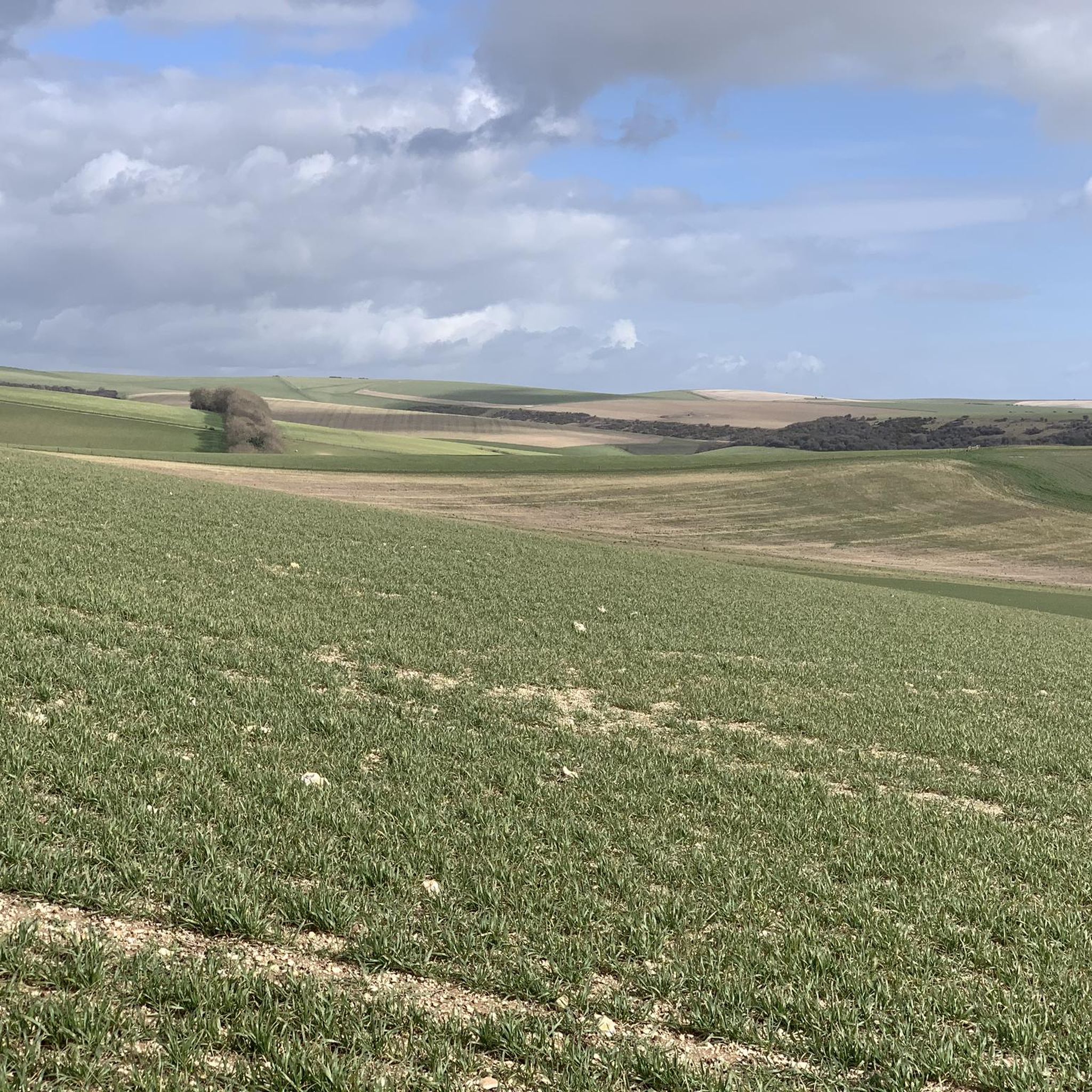
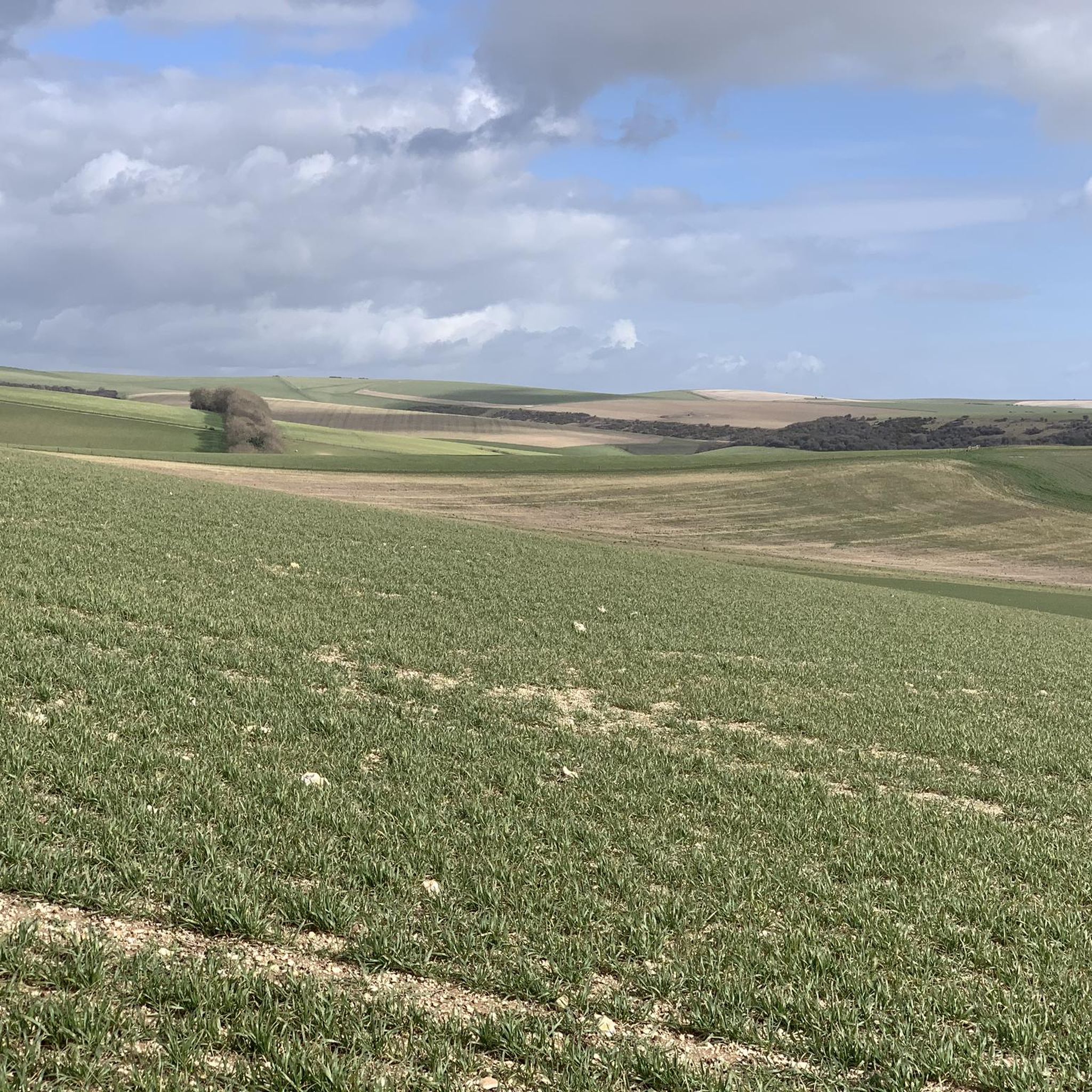
Gravel biking around Tarring Neville offers access to the varied terrain of the South Downs National Park. The landscape is characterized by rolling chalk hills, open downland, and occasional wooded sections, providing diverse surfaces for gravel cyclists. Routes often feature gradual ascents and descents, with expansive views across the surrounding countryside. The area provides a network of trails suitable for different skill levels.
Best gravel bike trails around Tarring Neville
- The most popular gravel bike trail is South Downs National…
Last updated: October 6, 2026
5.0
(1)
8
riders
61.3km
04:36
890m
890m
Hard gravel ride. Very good fitness required. Mostly paved surfaces. Suitable for all skill levels.
5.0
(1)
13
riders
35.1km
02:53
630m
630m
Hard gravel ride. Very good fitness required. Mostly paved surfaces. Suitable for all skill levels.

13
riders
59.2km
04:06
780m
790m
Hard gravel ride. Very good fitness required. Mostly paved surfaces. Suitable for all skill levels.
14
riders
32.3km
02:12
380m
380m
Moderate gravel ride. Good fitness required. Mostly paved surfaces. Suitable for all skill levels.
5.0
(2)
6
riders
19.8km
01:36
320m
320m
Moderate gravel ride. Good fitness required. Mostly paved surfaces. Suitable for all skill levels.
Get access to more routes and recommendations from other explorers.
Already have an account?
Our route recommendations are based on thousands of hikes, rides, and runs completed by other people on komoot.
Start today with a free account
Your next adventure awaits.
Tips from the Community

When the large puddles have evaporated, this is one of the best gravel routes the South Downs has to offer. This highlight includes the full route, including the narrow part through the bushes.
0
0

Decent shop with hot food over the counter, plus some tea rooms.
0
0

check out it, awesome and smooth but can be covered in leaves/tree bits in winter
0
0

The track here provides one of the best views from the South Downs Way. Take time to stop here and enjoy the well-earned view.
1
0

Great verdant route to ride throughout the year. Flora and fauna abound.
0
0

This is a wonderful stretch of track running just below Mount Harry, and it continues below Black Cap too before it joins the South Down Way at the Beeches. A great biking section overall.
1
0

gravel bikes are made for old coach road great track
0
0
Nice enough trig pointed hilltop and easy enough to get to with grand views out over the South Downs.
0
0
Frequently Asked Questions
How many gravel bike trails are available around Tarring Neville?
There are over 40 gravel bike trails available around Tarring Neville, offering a wide range of options for different skill levels. This includes 1 easy route, 24 moderate routes, and 15 difficult routes.
What kind of terrain can I expect on gravel bike trails near Tarring Neville?
The terrain around Tarring Neville is characterized by the varied landscape of the South Downs National Park. You'll encounter rolling chalk hills, open downland, and occasional wooded sections, providing diverse surfaces for gravel cycling. Routes often feature gradual ascents and descents with expansive views.
Are there challenging gravel bike routes in Tarring Neville?
Yes, Tarring Neville offers several challenging gravel bike routes. For instance, the Cuckoo Bottom Track – Blackcap Summit and Trig Point loop from Glynde is a difficult 21.8-mile (35.1 km) path that traverses open downland and includes a significant climb to Blackcap Summit.
Are there easier gravel bike routes suitable for beginners?
While many routes are moderate to difficult, there are options for beginners. The area's network includes routes with less elevation gain and smoother surfaces. For a moderate option, consider the Firle Beacon summit – Alfriston Village loop from Lewes, which is 19.9 miles (32 km) long and offers a good introduction to the local terrain.
What is the best time of year for gravel biking in Tarring Neville?
Gravel biking in Tarring Neville is enjoyable year-round, but spring and autumn offer particularly pleasant conditions with milder temperatures and vibrant scenery. Summer can be great, but be prepared for more sun exposure on the open downland. Winter rides are possible, though trails can be muddier after rain.
Are there any circular gravel bike routes around Tarring Neville?
Yes, many of the gravel bike routes around Tarring Neville are designed as loops. A popular example is the South Downs National Park loop from Lewes, which is a 37.9-mile (61.2 km) circular trail offering significant elevation gain and diverse landscapes.
What can I see along the gravel bike trails around Tarring Neville?
The trails offer access to various points of interest. You might encounter natural landmarks like Firle Beacon summit, historical sites such as the Long Man of Wilmington, or charming villages like Alfriston with its St Andrew's Church. The Cuckmere River Trail also offers scenic views.
Are there any routes that offer great views?
Absolutely. The region is known for its expansive views across the South Downs. The Ditchling Beacon Climb – View of Devil's Dyke loop from Telscombe is a prime example, offering panoramic vistas from Ditchling Beacon and views towards Devil's Dyke.
What do other gravel bikers enjoy the most about gravel biking in Tarring Neville?
The area is highly rated by the komoot community, with an average score of 4.8 stars from more than 15 reviews. Reviewers often praise the diverse terrain, the stunning views across the South Downs, and the well-maintained network of trails that cater to various skill levels.
Are there any routes that pass by lakes or water features?
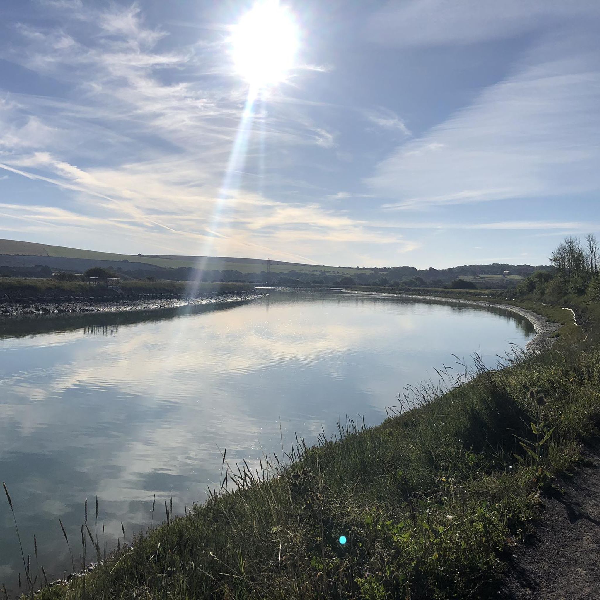
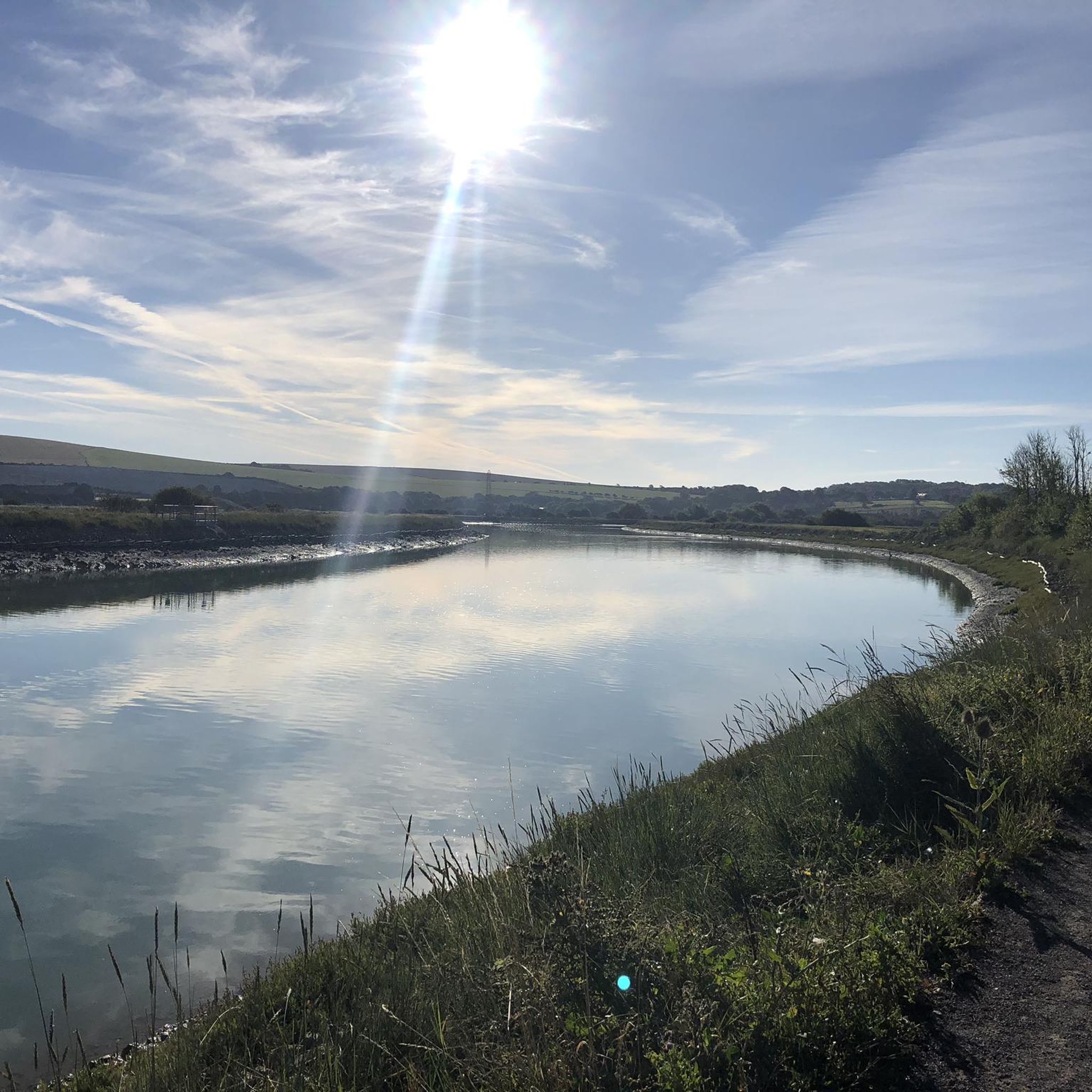
While the immediate area is more known for its chalk hills, you can find routes that pass near water features. For example, the Firle Beacon summit – Southease Bridge loop from Seaford brings you close to the River Ouse, and nearby attractions include Arlington Reservoir and the Oxbow Lake on the River Ouse.
What should I bring for a gravel bike ride in Tarring Neville?
Given the varied terrain and potential for exposed sections, it's advisable to bring layers of clothing, sufficient water, snacks, a repair kit for punctures, and a fully charged phone. Sunscreen and sunglasses are recommended for sunny days, especially on the open downland.
Most popular attractions around Tarring Neville

Get inspired with the komoot mobile app


Explore more
Browse the best Gravel rides in other regions.
