The best gravel rides around Shepreth
4.3
(14)
63
riders
4
rides
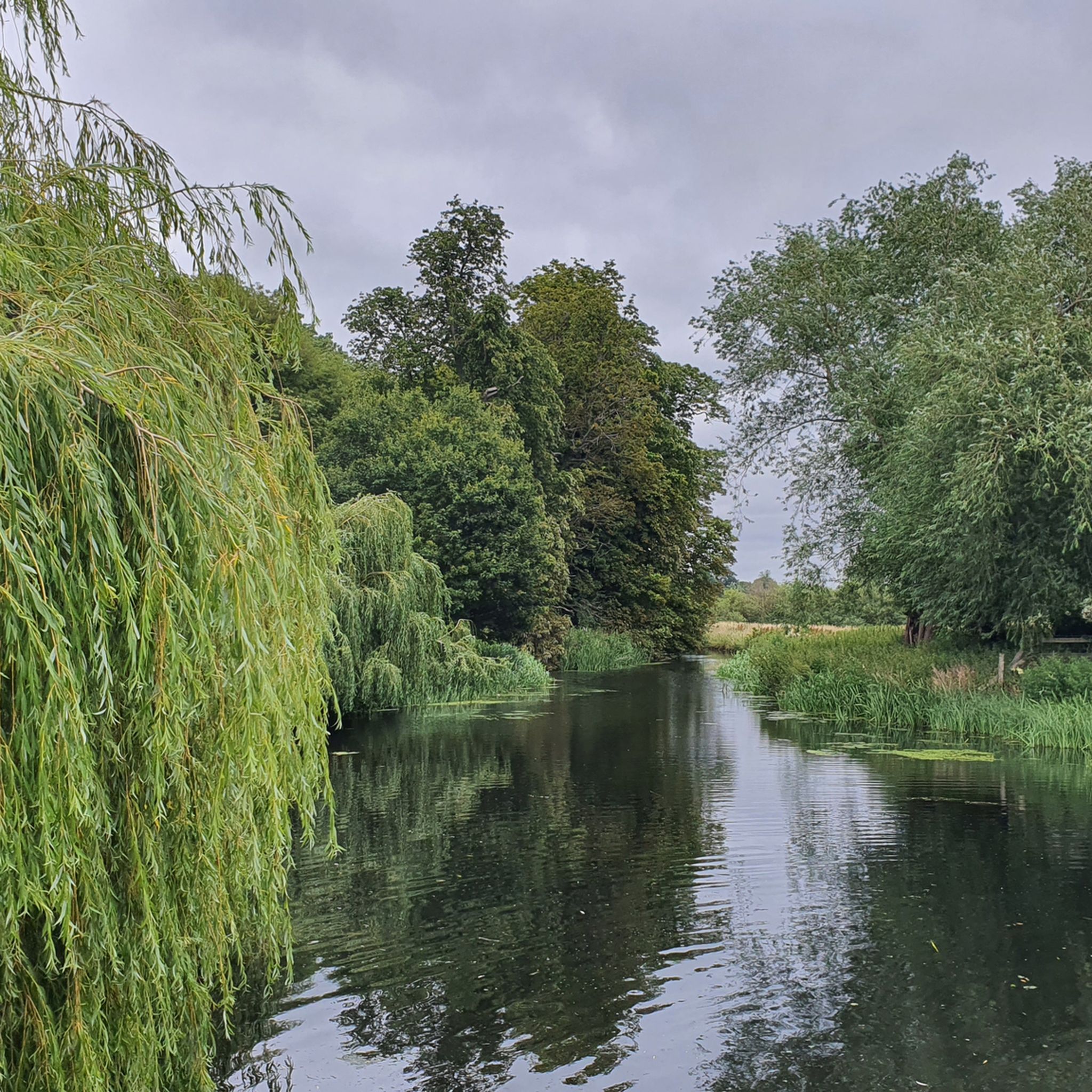
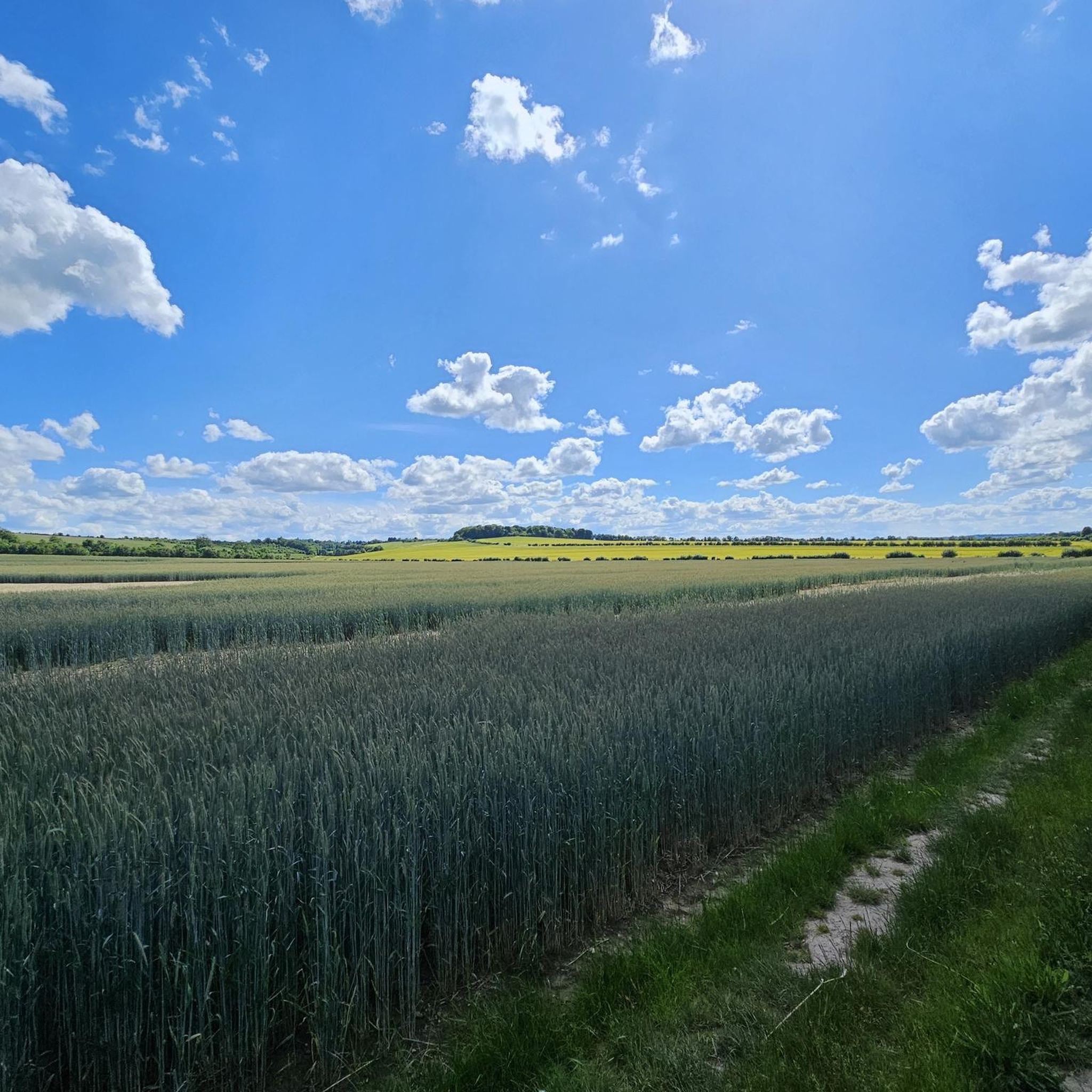
Gravel biking around Shepreth offers routes through a rural countryside landscape, characterized by fields, streams, and quiet lanes. The area features diverse natural spaces, including the Shepreth L-Moor, a Site of Special Scientific Interest with grassland and old footpaths. Nearby Fowlmere Nature Reserve provides trails through reedbeds and chalk grassland, while the Wimpole Estate offers extensive parkland and multi-user paths. This combination provides varied terrain suitable for gravel cyclists seeking unpaved paths and scenic routes.
Best gravel bike trails around Shepreth
- The most popular gravel bike trail is Therfield Village Green – Fox and Duck Pub, Therfield loop from Royston, a 33.3 miles (53.6 km) trail that takes 3 hours 53 minutes to complete, offering a challenging ride through varied countryside.
- Another top favourite among local gravel bikers is Wimpole Estate – View of Wimpole Estate loop from Shepreth, a difficult 27.5 miles (44.3 km) path. This route traverses ancient parkland and multi-user trails.
- Local gravel bikers also love the Grantchester Village – DNA Path Rainbow Cycleway loop from Shelford, a 12.7 miles (20.4 km) trail leading through flatter terrain, often completed in about 1 hour 29 minutes.
- Gravel biking around Shepreth is defined by rural countryside, grassland, and ancient parkland. The network offers options for easy, moderate, and difficult routes, catering to different ability levels.
- The routes in Shepreth are highly rated by the komoot community with an average score of 5.0 stars from 3 reviews. More than 20 gravel bikers have used komoot to explore Shepreth's varied terrain.
Last updated: November 2, 2026
4.5
(8)
21
riders
Moderate gravel ride. Good fitness required. Mostly paved surfaces.
11
riders
53.6km
03:50
470m
470m
Hard gravel ride. Very good fitness required. Mostly paved surfaces.

4.2
(6)
25
riders
Easy gravel ride. Mostly paved surfaces.
1
riders
45.1km
03:07
440m
440m
Moderate gravel ride. Good fitness required. Mostly paved surfaces.
2
riders
Easy gravel ride. Mostly paved surfaces.
Our route recommendations are based on thousands of hikes, rides, and runs completed by other people on komoot.
Start today with a free account
Your next adventure awaits.
Tips from the Community

A gastropub rather than somewhere for a sandwich or bar snacks.
0
0

Wide clear path, smooth and even. Really nice gravel ride.
0
0

The parish church of St George (dedicated to All Saints until the 19th century) dates from the late 13th century and consists of a chancel with a north vestry, north and south transepts, a central tower with short spire, and a nave with south porch. The tower and spire date from the 14th century. The south porch was rebuilt by Gilbert Scott in 1877. (https://en.wikipedia.org/wiki/Thriplow)
0
0
Great place for a break with a good assortment of sandwiches and cakes as well as farm produce. Plenty of seating outside if the weather is good.
2
0
The Windmill at Fulbourn stands on an outlier of the Gog Magog Hills 4 miles east of the City of Cambridge. Low chalk hills run to the south of it; northwards the Windmill overlooks the Fens which are at most only a few feet above sea level. The cap of the Windmill rises to 160 feet above sea-level and from it there is an uninterrupted view of the roofs and towers of Ely Cathedral. It has long been an outstanding landmark in the south Cambridgeshire countryside. It was the enclosure of the parish for the improvement of cultivation that led to the building of the present Windmill. Much of the land in the north of the parish was low-lying and waterlogged and needed draining to convert it into profitable arable land. Fulbourn Fen was a peat fen only 20 feet above sea level over which the Great Wilbraham River spread its waters in times of flood. The Act of Enclosure for Fulbourn was passed in 1806 and the Commissioners completed their work two years later. The drainage of the parish reduced the level of water in the upper reaches of the Great Wilbraham River on which the manorial watermill was situated. The loss of power brought to an end the life of a mill which had first been recorded in Domesday Book. In 1808 the machinery of the watermill was put up for sale. A new mill was therefore needed and the Enclosure Commissioners allotted one acre on Mill Hill, on which to build a mill and miller’s cottage, to John Chaplin, a considerable landowner and farmer. He used copies of Old Moore’s Almanack as a diary, entering personal events and business notes in the margins of the calendar. In 1808 he recorded against 11 July, ‘I laid the first brick of my mill’; 22 November, ‘Mill sails put up’; 15 December, ‘Began grinding’. It is a large octagonal smock mill with a brick base and wooden superstructure. Its outline is squat with a shallow conical cap. The fantail, as usual in Cambridgeshire mills, is close against the cap. The mill holds three stones, one of French burr and two of Derbyshire stone. With floors 24 feet in diameter, there is exceptional space for working the mill. (https://fulbournwindmill.org.uk/history.html)
1
0

The Bridleway goes direct to it from behind so you don’t have to go on the road at all, just don’t turn into the actual farm, the bridleway is just after, it’s all well signposted
0
0

It's already beautiful to look at from the outside
1
0
Frequently Asked Questions
How many gravel bike trails are there around Shepreth?
There are currently 12 gravel biking routes available around Shepreth on komoot. These routes offer a mix of easy, moderate, and difficult options, catering to various skill levels.
What kind of terrain can I expect on gravel bike trails near Shepreth?
Gravel biking around Shepreth features a diverse landscape. You'll encounter rural countryside with fields, streams, and quiet lanes. Expect unpaved paths through areas like the Shepreth L-Moor, which is a Site of Special Scientific Interest with grassland and old footpaths. The nearby Fowlmere Nature Reserve offers trails through reedbeds and chalk grassland, while the Wimpole Estate provides extensive parkland and multi-user paths, some with challenging steep sections.
Are there any beginner-friendly gravel biking routes in the Shepreth area?
Yes, there are several easier options. For instance, the Grantchester Village – DNA Path Rainbow Cycleway loop from Shelford is an easy 12.7-mile (20.4 km) trail that leads through flatter terrain. Another easy route is the Haslingfield Village – Rectory Farm Gravel Track loop from Grantchester, which covers 16.1 miles (25.8 km).
Where can I find more challenging gravel bike routes around Shepreth?
For a more challenging ride, consider the Therfield Village Green – Fox and Duck Pub, Therfield loop from Royston. This route is 33.3 miles (53.6 km) long and offers a demanding ride through varied countryside. Another difficult option is the Wimpole Estate – Wimpole Hall loop from Shepreth, a 17.1-mile (27.5 km) path traversing ancient parkland with varied terrain.
What natural features or landmarks can I see while gravel biking in Shepreth?
You can explore various natural features and historical landmarks. The Shepreth L-Moor, a Site of Special Scientific Interest, offers scenic routes through grassland. The Fowlmere Nature Reserve provides trails through diverse habitats. Further afield, the Wimpole Estate features the impressive Wimpole Hall and Gardens and the unique Wimpole's Folly. You might also encounter the DNA Path Rainbow Cycleway on some routes.
Are there any circular gravel biking routes available?
Yes, many of the gravel biking routes around Shepreth are designed as loops. Examples include the Therfield Village Green – Fox and Duck Pub, Therfield loop from Royston, the Wimpole Estate – Wimpole Hall loop from Shepreth, and the Grantchester Village – DNA Path Rainbow Cycleway loop from Shelford.
Is Shepreth suitable for family-friendly gravel biking?
Shepreth's rural setting and flatter routes can be suitable for families. Look for the 'easy' graded routes, such as the Grantchester Village – DNA Path Rainbow Cycleway loop from Shelford, which offers a shorter, less strenuous ride. The Wimpole Estate also has multi-user trails that can be enjoyed by families, though some sections may be more challenging.
What are the public transport options for reaching gravel bike trails in Shepreth?
Shepreth has a railway station, making it accessible by train. For detailed information on train services to Shepreth, you can check resources like visitbytrain.info. This can be a convenient way to start your gravel biking adventure without needing a car.
Where can I park my car when visiting Shepreth for gravel biking?
While specific parking areas for gravel biking routes aren't detailed, Shepreth is a village with local amenities. Parking may be available near the railway station or in designated public parking areas within the village. When planning your route, consider starting points that offer convenient parking options.
Are there places to eat or stay near the gravel bike trails in Shepreth?
Shepreth and its surrounding villages offer local pubs and cafes where you can refuel. For accommodation, you'll find options ranging from guesthouses to hotels in the wider South Cambridgeshire area, suitable for an overnight stay before or after your ride.
What is the best time of year to go gravel biking in Shepreth?
The best time to go gravel biking in Shepreth is generally during the spring, summer, and early autumn months. The weather is milder, and the trails are typically drier. During winter, some unpaved sections, especially in areas like Fowlmere Nature Reserve, can become uneven, soft, or muddy after rain, requiring more robust tires and preparation.
What do other gravel bikers say about the trails in Shepreth?
The gravel biking routes around Shepreth are highly rated by the komoot community, with an average score of 4.1 stars from 9 reviews. More than 40 gravel bikers have used komoot to explore the varied terrain, often praising the quiet rural countryside and the mix of unpaved paths and scenic routes.
Are there any moderate difficulty gravel routes in the area?
Yes, for those looking for a moderate challenge, the Chrishall Climb – Scarpe-Edge Panoramic Views loop from Royston is a great option. This 27.2-mile (43.8 km) route offers a balanced ride with some elevation gain and scenic views.
Most popular attractions around Shepreth

Get inspired with the komoot mobile app


Explore more
Browse the best Gravel rides in other regions.
