The best gravel rides around Arclid
4.8
(16)
104
riders
10
rides
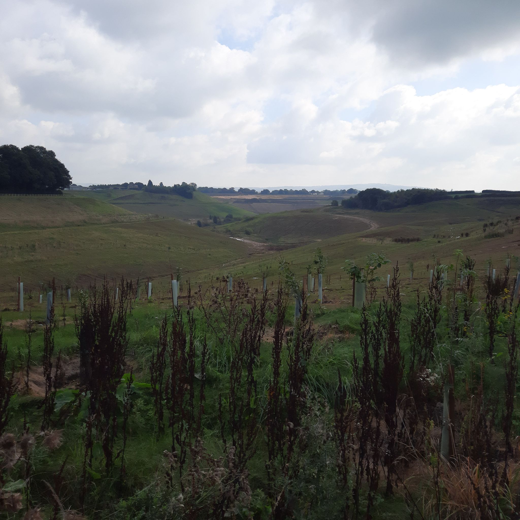
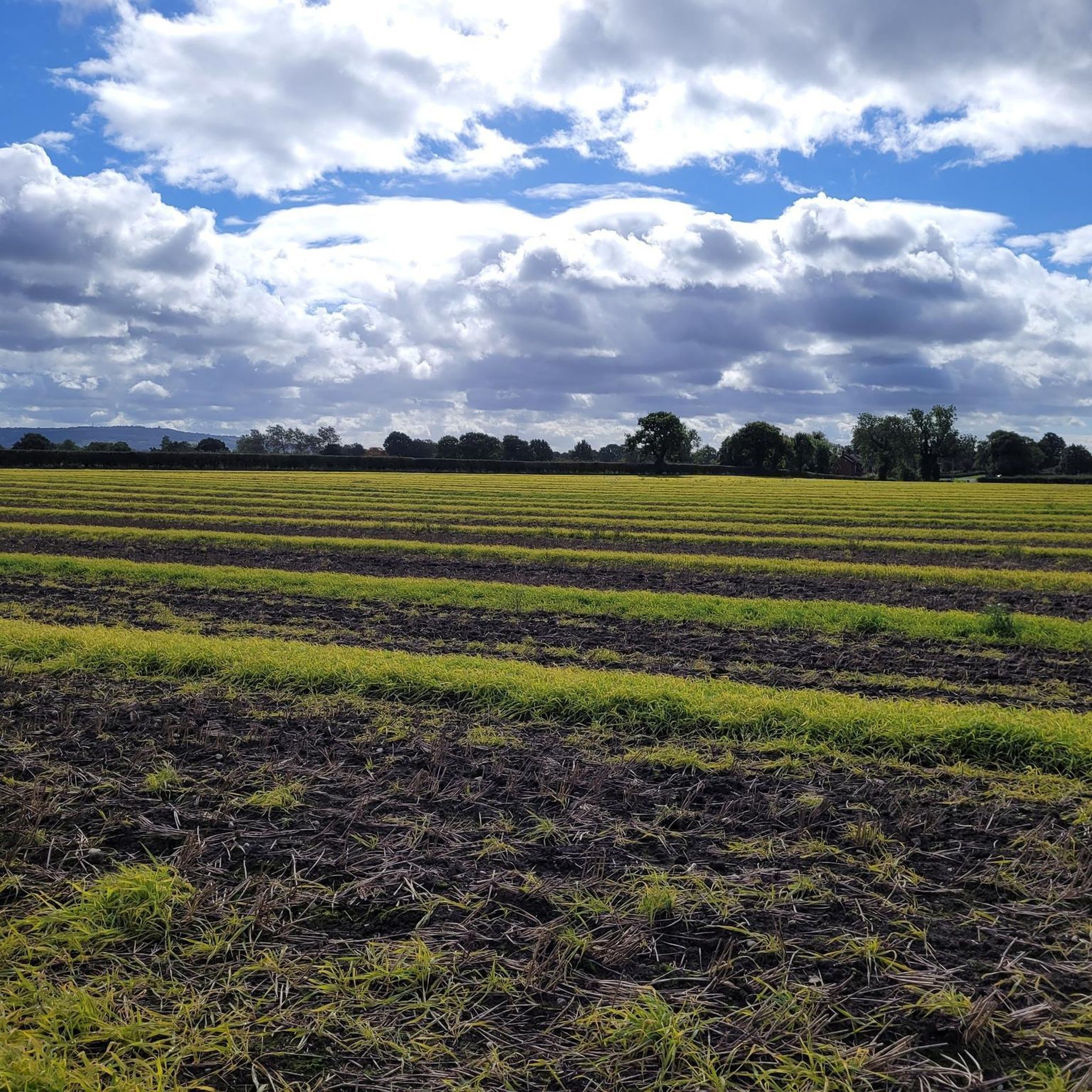
Gravel biking around Arclid features a landscape characterized by rolling terrain, open fields, and established valley paths. The region's routes often follow quiet rural lanes, connecting small villages and offering views of the surrounding countryside. Elevations are moderate, typically involving gradual climbs and descents rather than steep ascents, making the area suitable for various gravel biking experiences.
Best gravel bike trails around Arclid
- The most popular gravel bike trail is Biddulph Valley Way – Leek Tunnel Pool loop from Congleton…
Last updated: July 3, 2026
4.8
(6)
35
riders
45.8km
02:43
350m
350m
Moderate gravel ride. Good fitness required. Mostly paved surfaces. Suitable for all skill levels.
4.5
(6)
33
riders
35.3km
02:09
330m
330m
Moderate gravel ride. Good fitness required. Mostly paved surfaces. Suitable for all skill levels.

Sign up for free
6
riders
41.6km
02:17
300m
300m
Moderate gravel ride. Good fitness required. Mostly paved surfaces. Suitable for all skill levels.
4.5
(2)
18
riders
45.9km
02:34
330m
330m
Moderate gravel ride. Good fitness required. Mostly paved surfaces. Suitable for all skill levels.
5.0
(1)
4
riders
26.1km
01:42
100m
100m
Easy gravel ride. Great for any fitness level. Mostly paved surfaces. Suitable for all skill levels.
Get access to more routes and recommendations from other explorers.
Sign up for free
Already have an account?
Our route recommendations are based on thousands of hikes, rides, and runs completed by other people on komoot.
Start today with a free account
Your next adventure awaits.
Login or Signup
Tips from the Community

a short sharp climb up over the top and a pleasant run down the other side towards leek
1
0

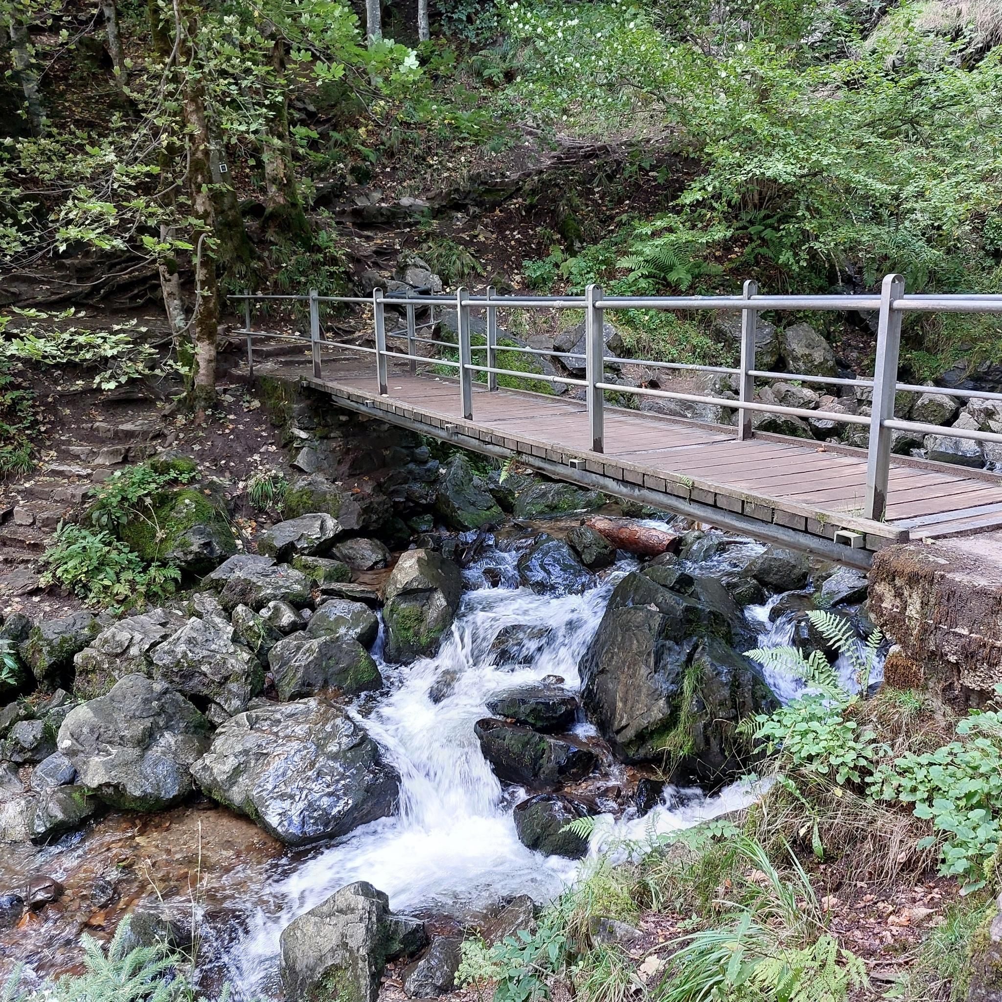
A wonderful example of a lock bridge, and a great spot for a BAAB (bike against a bridge) photo. It's peaceful and picturesque, you might even spot a canal boat or two.
0
0

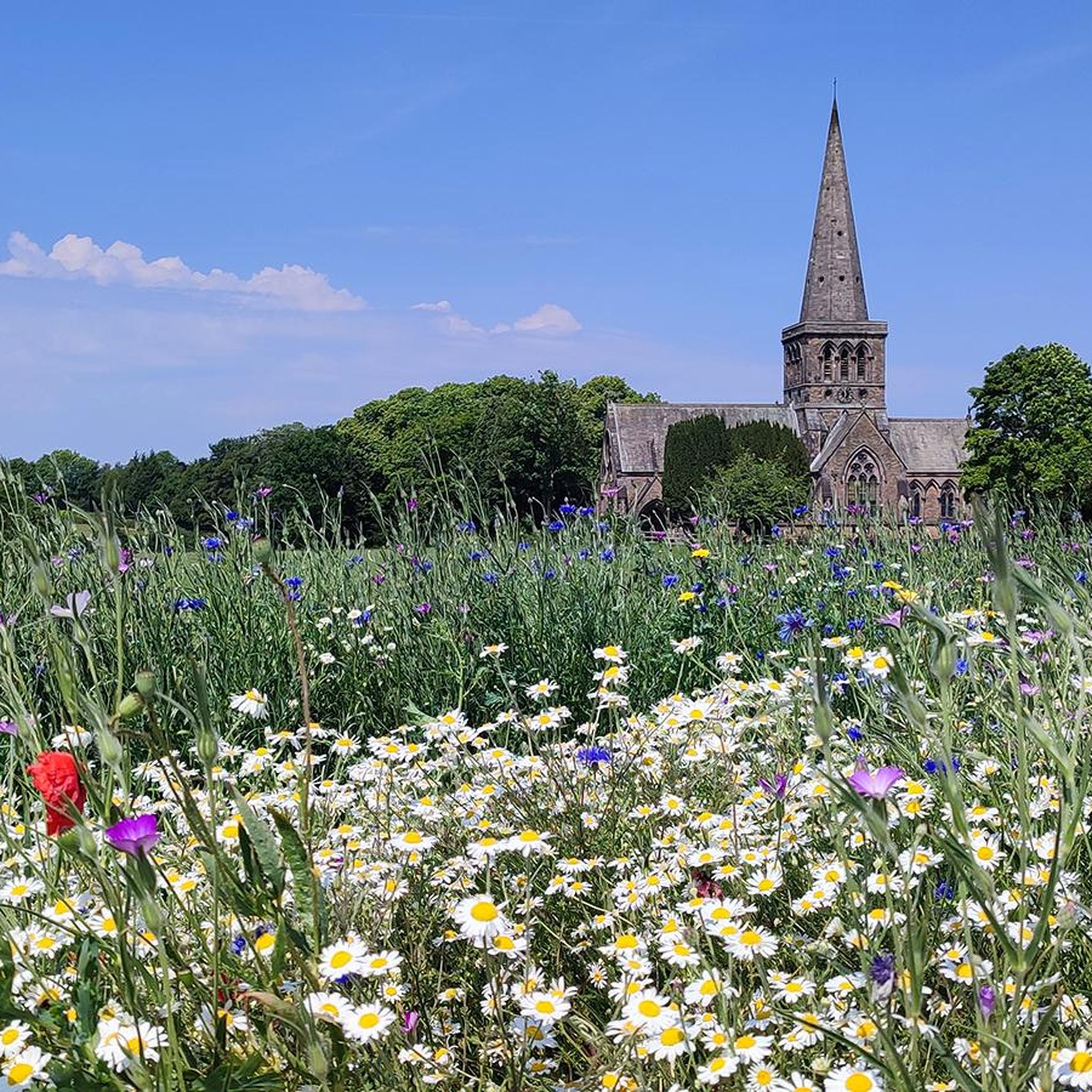
„Today the Salt Line runs through farmland and woodlands, with streams, pools and rough grassland. Wild primroses brighten up the steep cutting at Roughwood Hollow while later in the year the delicate flowers of scabious and harebell can be seen on the banks. Areas of willow and hazel are coppiced regularly. This is an ancient woodland practice in which trees are cut every few years to produce timber that would have been traditionally used for thatching spars, barrel hoops, hurdles and baskets. Sheltered glades are created where flower and insects thrive, until the trees re-grow and the process begins again. Some areas are managed as wild flower meadows while others are left fairly wild and just cut back enough to keep the path clear. Look out for Bullfinches and Yellowhammers that feed on buds, berries and seeds along the Salt Line.“ Quelle: https://visitcheshire.com/trails/the-salt-line
0
0

Part of the Leek Branch of the Caldon Canal the pool allows boats to turn around before the tunnel. The Churnet Way long distance walking trail and NCN 559 follow the canal towpath past the pool.
1
0

Well maintained and very smooth path. Must be great to ride in winter
0
0
Just off a main road is this quiet country lane which also has a short step free access to good canal path
0
0

Definitely recommend walking this short section in both directions, up and down
1
0
Frequently Asked Questions
How many gravel bike trails are there to explore around Arclid?
There are over 10 gravel bike trails available around Arclid, offering a variety of experiences from easy rides to more challenging routes through the region's rolling terrain and valley paths.
Are there easy gravel bike trails suitable for beginners in Arclid?
Yes, Arclid offers several easy gravel bike trails. For a gentle introduction, consider routes that stick to the established valley paths. While specific 'easy' routes aren't detailed, the overall terrain is characterized by moderate elevations, making many paths accessible for those new to gravel biking.
Where can I find more challenging gravel bike routes around Arclid?
For a more challenging ride, look for routes that incorporate more varied terrain and longer distances. The region's network includes options that will test your endurance. One such route is the Biddulph Valley Way – Leek Tunnel Pool loop from Congleton, which covers 28.4 miles (45.8 km) with moderate elevation changes.
Are there many circular gravel bike routes available near Arclid?
Many of the gravel bike routes around Arclid are designed as loops, allowing you to start and finish in the same location. An example is the Pedley Lane – St Wilfrid's Church, Mobberley loop from Goostrey, a 33.6-mile (54.1 km) path traversing open fields and quiet country lanes.
What interesting sights or viewpoints can I expect to see along the gravel trails?
The gravel trails around Arclid offer views of the surrounding countryside and access to several points of interest. You might encounter historical sites like the Sandbach Saxon Crosses, or natural beauty spots such as Winterley Pool and Bath Pool. The Mow Cop Castle also offers a notable viewpoint in the wider area.
What do other gravel bikers enjoy most about the trails in Arclid?
The gravel biking experience in Arclid is highly rated by the komoot community, with an average score of 4.8 stars from over 20 reviews. Riders often praise the varied terrain, which includes established valley paths and quiet rural lanes, as well as the scenic views of the open fields and countryside.
Are the gravel trails around Arclid suitable for families?
Yes, many of the gravel trails around Arclid are suitable for families, especially those that follow the flatter valley paths and quiet rural lanes. The moderate elevations make it accessible for riders of varying skill levels. Always check the specific route details for distance and difficulty to ensure it matches your family's capabilities.
When is the best time of year to go gravel biking in Arclid?
The best time for gravel biking in Arclid is generally from spring through autumn (April to October). During these months, the weather is typically milder, and the trails are less likely to be muddy, offering more pleasant riding conditions through the open fields and valley paths.
What are the typical winter conditions like for gravel biking in Arclid?
During winter, gravel biking in Arclid can be more challenging due to colder temperatures and potentially muddy conditions, especially on unpaved sections and open fields. Some valley paths may remain rideable, but it's advisable to check local weather forecasts and trail conditions before heading out, and be prepared for wet and slippery surfaces.
Are there any cafes or pubs along the gravel bike routes in Arclid?
While specific cafes or pubs directly on every route are not detailed, the gravel trails around Arclid often connect small villages. These villages typically offer opportunities for refreshments, so planning your route to pass through them can provide convenient stops for food and drink.
Is parking readily available near the gravel bike trails in Arclid?
Parking availability near the gravel bike trails in Arclid varies depending on the specific starting point. Many routes begin near villages or designated trailheads where parking might be available. It's recommended to check the starting point of your chosen route on komoot for specific parking information or local recommendations.
Can I access the gravel bike trails around Arclid using public transport?
Accessing gravel bike trails around Arclid via public transport is possible, though it may require some planning. Key towns and villages in the area are served by local bus routes, and some may have train stations. You would need to research specific public transport links to your chosen trailhead, considering bike carriage policies.
Are there any other highly-rated gravel routes in the area?
Beyond the most popular options, local gravel bikers also highly rate the Biddulph Valley Way – Biddulph Valley Way loop from Kidsgrove, a 21.9-mile (35.3 km) trail leading through the scenic Biddulph Valley. Another excellent choice is the Pedley Lane – Singletrack Through Fields loop from Holmes Chapel, covering nearly 50 km.
Most popular attractions around Arclid

Get inspired with the komoot mobile app


Explore more
Browse the best Gravel rides in other regions.
