The best walks and hikes around Judenau-Baumgarten
4.5
(1925)
9,692
hikers
28
hikes
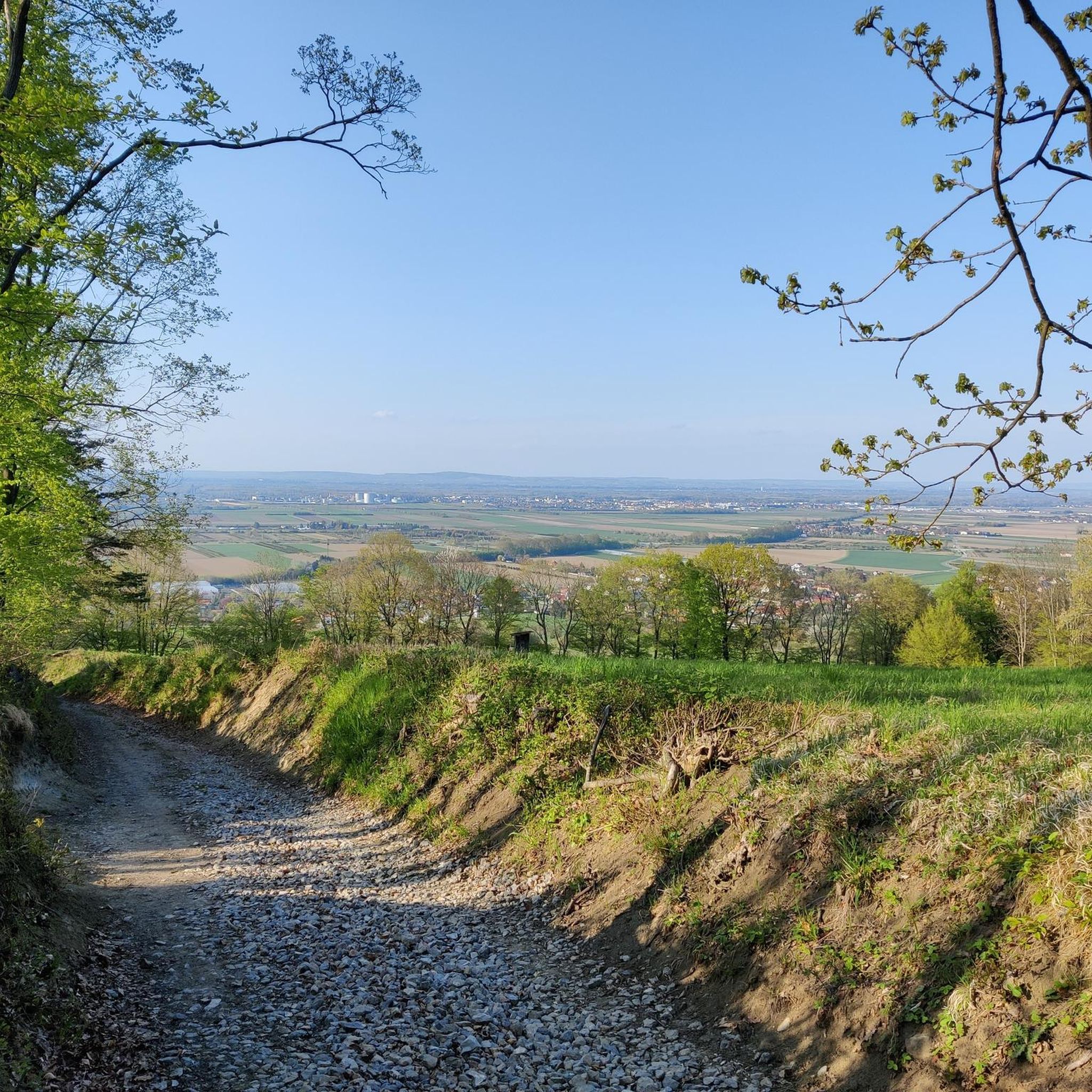
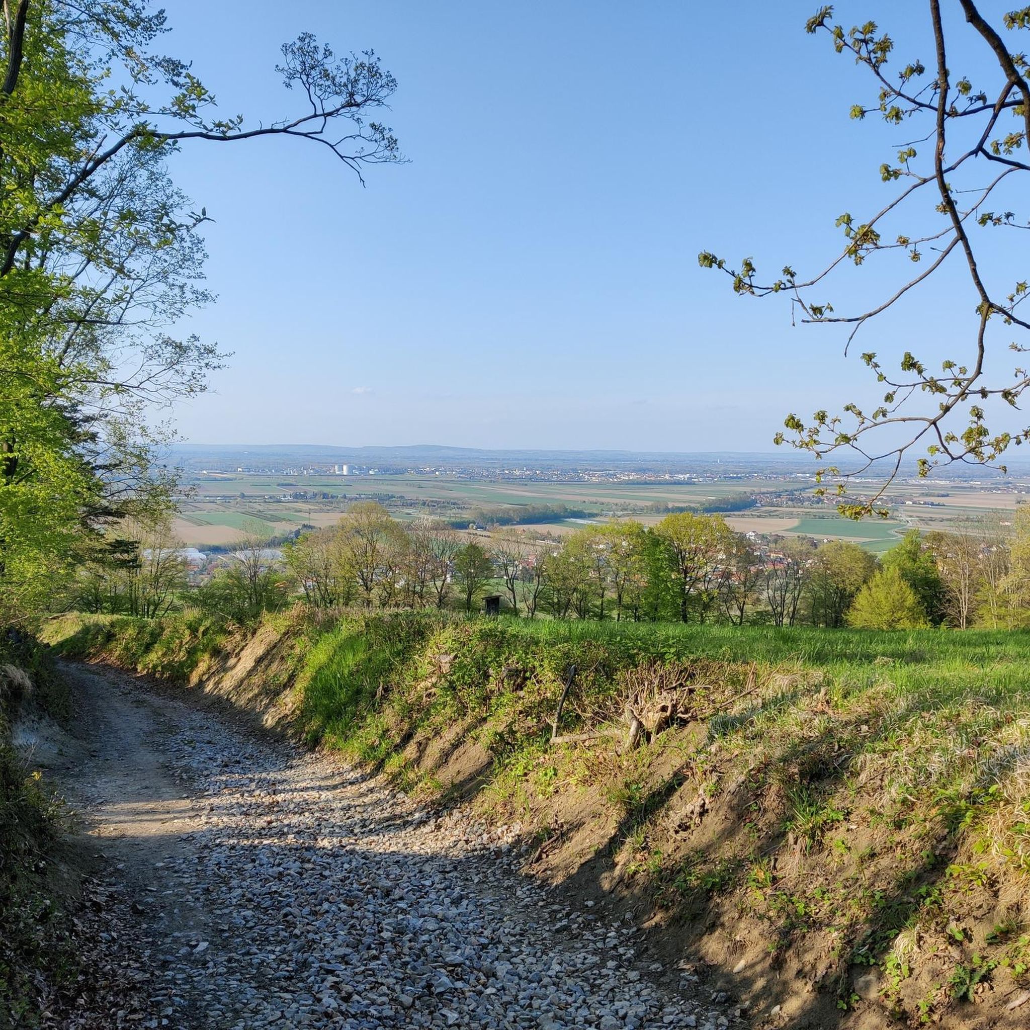
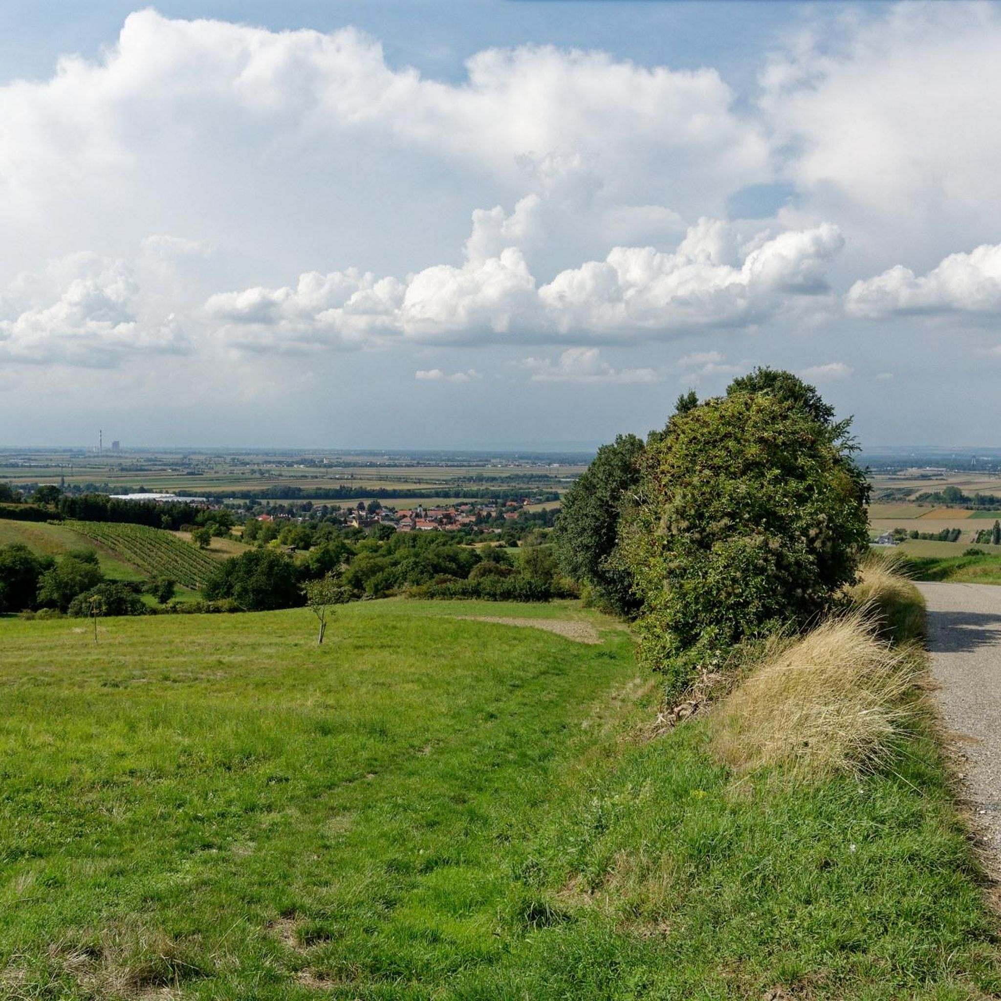
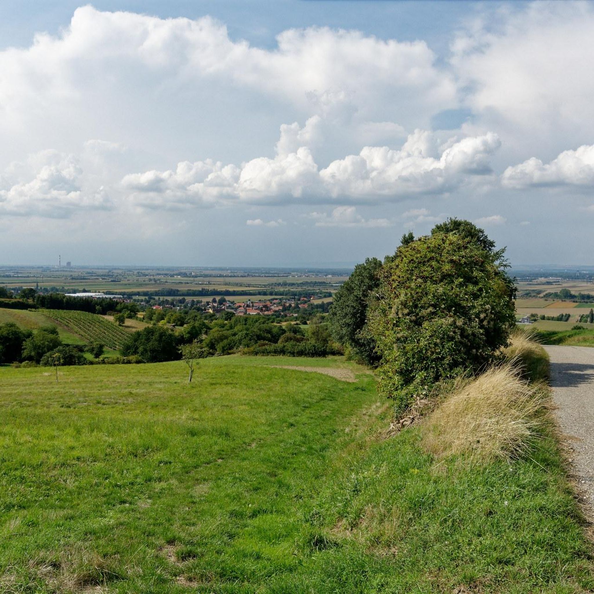
Hiking around Judenau-Baumgarten offers diverse landscapes, including rolling hills, verdant forests, and lush meadows. The region is situated on the fringes of the Vienna Woods, providing elevated perspectives and views across the Tullnerfeld. From the Auberg, hikers can see along the Danube River and towards the Wagram.
Best hiking trails around Judenau-Baumgarten
- The most popular hiking route is Picture oaks – Sieghartskirchen Town Hall loop from Judenau-Baumgarten, a 7.8 miles (12.5 km) trail that takes 3 hours 39 minutes…
Last updated: October 4, 2026
4.6
(13)
46
hikers
12.5km
03:39
340m
340m
Moderate hike. Good fitness required. Easily-accessible paths. Suitable for all skill levels.
4.4
(9)
32
hikers
4.11km
01:17
170m
170m
Easy hike. Great for any fitness level. Easily-accessible paths. Suitable for all skill levels.

3.0
(1)
10
hikers
6.06km
01:48
170m
170m
Easy hike. Great for any fitness level. Easily-accessible paths. Suitable for all skill levels.
5.0
(1)
7
hikers
8.22km
02:19
170m
170m
Moderate hike. Good fitness required. Easily-accessible paths. Suitable for all skill levels.
6
hikers
Moderate hike. Good fitness required. Easily-accessible paths. Suitable for all skill levels.
Get access to more routes and recommendations from other explorers.
Already have an account?
Our route recommendations are based on thousands of hikes, rides, and runs completed by other people on komoot.
Start today with a free account
Your next adventure awaits.
Tips from the Community

Here the Great Tullnerfeld circular hiking trail crosses the Little Tulln 😉, from the bridge you can admire the Gerinsel.
2
0
The Kleine Tulln river lies next to the Großer Tullnerfeld circular hiking trail 475; you can catch a glimpse of it from the bridge.
2
0
Next to the Great Tullnerfeld Circular Hiking Trail 475 there is a beautiful shrine.
1
1
A beautiful viewpoint near a small chapel, right next to the Great Tullnerfeld circular hiking trail 475.
1
1
A very beautiful old building, which is located right next to the Great Tullnerfeld circular hiking trail.
1
1
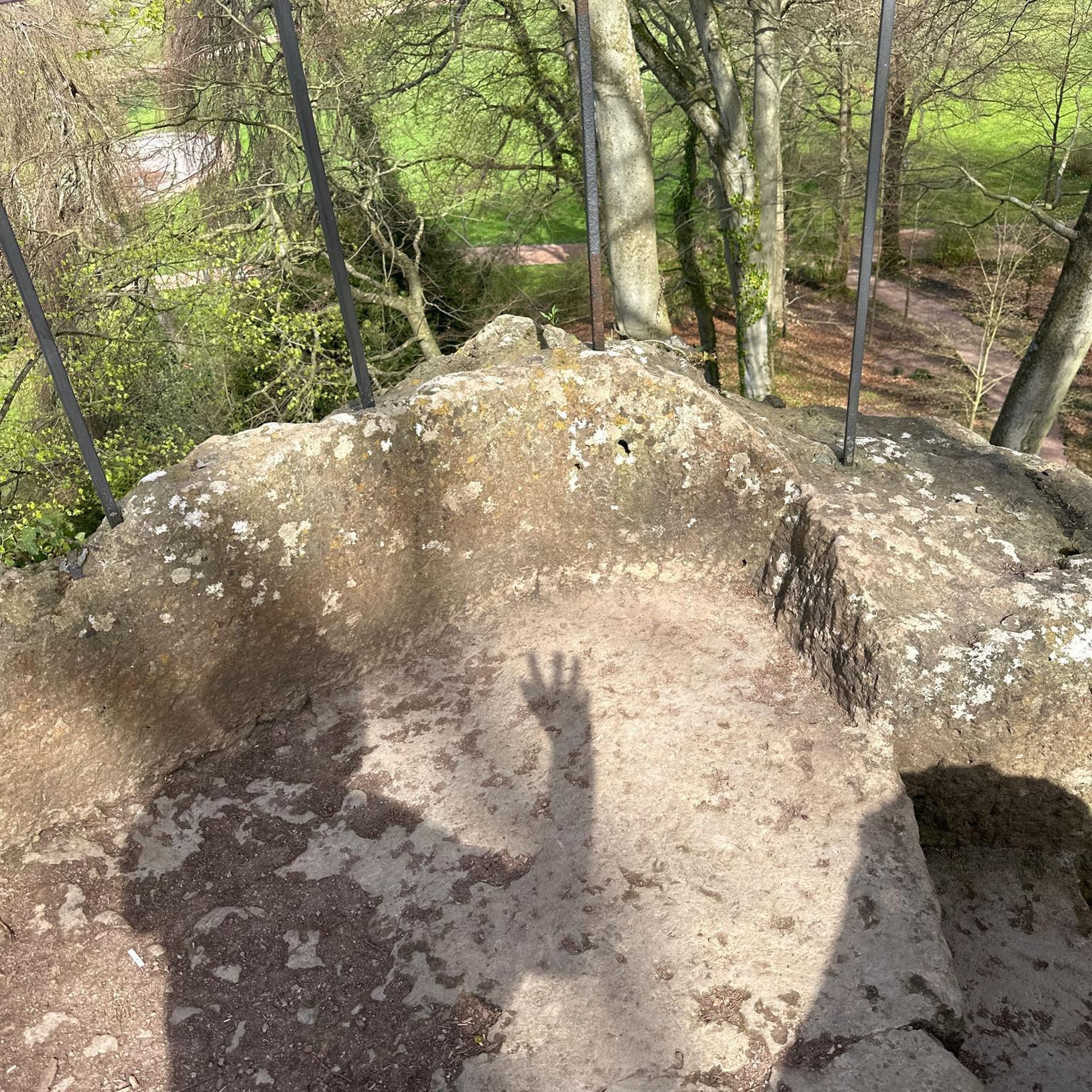
A very nice resting place in the middle of the forest, the Great Tullnerfeld circular hiking trail 475 passes by here.
2
1

The old and new town halls are located directly on Wiener Strasse, with the town hall park behind them. 1832 in Roman numerals, probably the year of manufacture.
2
0
Frequently Asked Questions
How many hiking trails are available in Judenau-Baumgarten?
Judenau-Baumgarten offers a diverse network of over 30 hiking trails. These routes cater to various skill levels, including 12 easy trails and 18 moderate options, ensuring there's something for everyone.
When is the best time of year to go hiking in Judenau-Baumgarten?
The most favorable seasons for hiking in Judenau-Baumgarten are spring and autumn. Spring brings blossoming nature, while autumn transforms the forests with warm, vibrant hues. Mild temperatures during these times make for a very enjoyable hiking experience.
Are there family-friendly hiking trails in Judenau-Baumgarten?
Yes, Judenau-Baumgarten is well-suited for families. The region offers several easy trails, including the 3-kilometer-long Judenau Nature Trail, which is an educational path with stations providing insights into local flora, fauna, and history. Another easy option is the Picture oaks loop from Judenau-Baumgarten, featuring gentle gradients through woodland and open areas.
What kind of terrain and elevation can I expect on the trails?
The hiking trails around Judenau-Baumgarten are characterized by diverse topography, including rolling hills, verdant forests, and lush meadows. You can expect gentle to moderate gradients, with routes like the Picture oaks – Sieghartskirchen Town Hall loop from Judenau-Baumgarten featuring an elevation gain of around 340 meters over its 12.5 km distance.
What natural features or viewpoints can I discover on hikes around Judenau-Baumgarten?
Hikers can enjoy expansive views from elevated points such as the Auberg, offering panoramas across the Tullnerfeld, along the Danube River, and towards the Wagram. The summit of Baumgartner Berg also provides spectacular panoramic views of the surrounding countryside. You might also encounter natural monuments like the Hanging Rock or Tree masterpieces.
Are there any historical or cultural attractions to see while hiking in the area?
Beyond its natural beauty, Judenau-Baumgarten offers historical and cultural attractions. You can explore Baumgarten Castle with its beautiful park, and Judenau Castle, which dates back to 1589. The village also features historic cellar lanes, such as a 400-meter-long old wine cellar lane in Baumgarten and a 340-meter-long system in Judenau, with some buildings dating back to 1728.
Are there many circular hiking routes available?
Yes, many of the hiking routes in Judenau-Baumgarten are circular, allowing you to start and end at the same point. Examples include the Woodland Path – Picture oaks loop from Judenau-Baumgarten, which is 6.1 km long, and the Wayside Shrine with Rest Area loop from Judenau-Baumgarten, covering 8.2 km.
What do other hikers enjoy most about the trails in Judenau-Baumgarten?
The hiking trails in Judenau-Baumgarten are highly rated by the komoot community, with an average score of 4.6 stars from over 1,400 reviews. Hikers often praise the diverse landscapes, including rolling hills, dense woodlands, and open meadows, as well as the well-maintained paths and the variety of options for different ability levels.
Is there parking available near the hiking trails?
While specific parking locations are not detailed for every trail, Judenau-Baumgarten is generally accessible by car, and it's common for trailheads in the region to have designated parking areas. We recommend checking individual route details on komoot for precise parking information before your hike.
Can I reach the hiking trails using public transport?
Judenau-Baumgarten is a village in the Tulln district, and while public transport options exist, they might require some planning. For detailed information on bus or train connections to the area, it's best to consult local public transport schedules or visit the official regional tourism website for Lower Austria: lower-austria.info.
Are there any longer, more challenging hikes in the area?
While there are no trails classified as 'difficult' in the immediate guide data, the region offers moderate hikes that provide a good challenge. For example, the Wayside Shrine with Rest Area – Bridge over the Kleine Tulln loop from Katastralgemeinde Zöfing is a moderate 7.3 km route with over 130 meters of elevation gain, offering a rewarding experience for those looking for a longer excursion.
Most popular routes around Judenau-Baumgarten
Most popular attractions around Judenau-Baumgarten

Get inspired with the komoot mobile app


Explore more
Browse the best Hikes in other regions.
