The best gravel rides around Brumstead
4.8
(8)
94
riders
8
rides
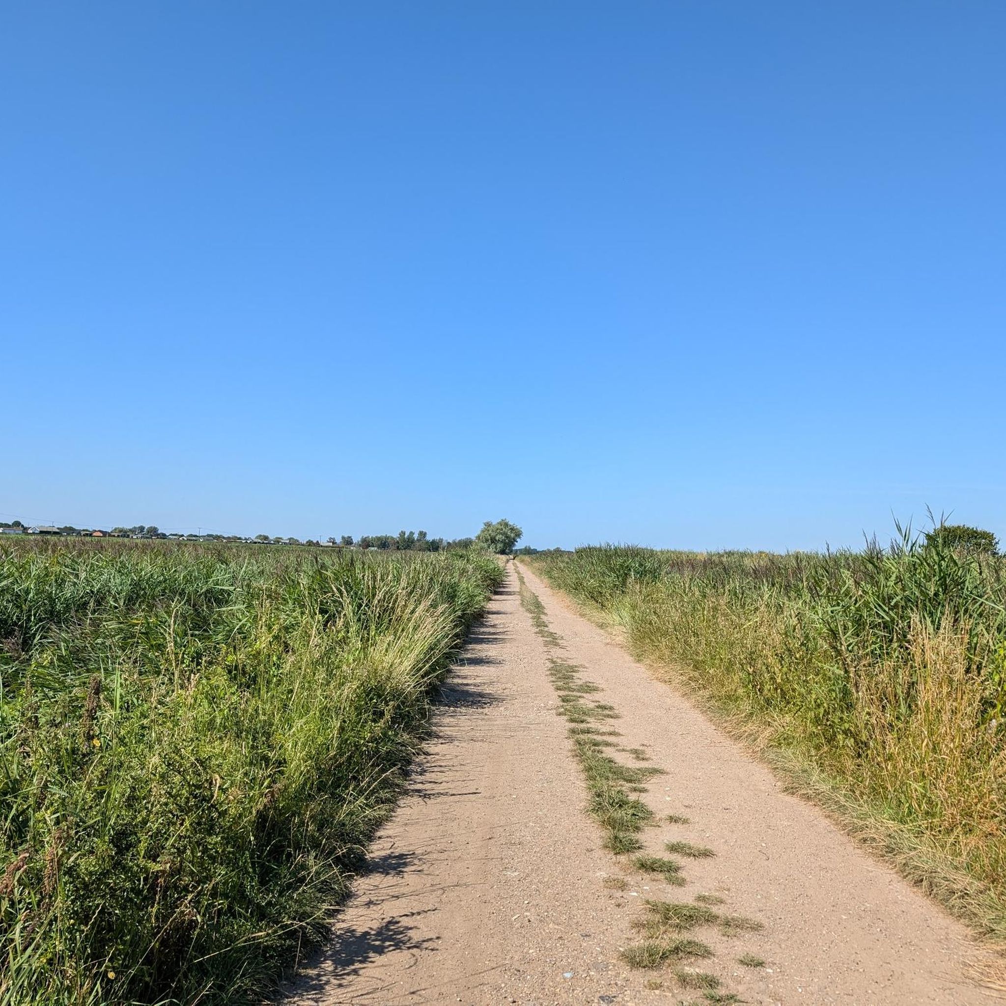
Gravel biking around Brumstead offers a network of routes across the flat, low-lying landscape of Norfolk, England. The area is characterized by open fields, quiet country lanes, and former railway lines converted into multi-use trails. These paths often feature fine-grained gravel surfaces, suitable for riding in various conditions. The terrain generally presents minimal elevation changes, making it accessible for a range of skill levels.
Best gravel bike trails around Brumstead
- The most popular gravel bike trail is Marriott's Way –…
Last updated: July 3, 2026
5.0
(2)
36
riders
80.4km
04:43
340m
340m
Moderate gravel ride. Good fitness required. Mostly paved surfaces. Suitable for all skill levels.
5.0
(3)
21
riders
45.3km
02:43
180m
180m
Moderate gravel ride. Good fitness required. Mostly paved surfaces. Suitable for all skill levels.

Sign up for free
5.0
(1)
5
riders
94.8km
05:23
380m
380m
Hard gravel ride. Very good fitness required. Mostly paved surfaces. Suitable for all skill levels.
5
riders
70.7km
04:24
270m
270m
Hard gravel ride. Good fitness required. You may need to push your bike for some segments of this route.
3
riders
44.2km
02:40
180m
180m
Moderate gravel ride. Good fitness required. Mostly paved surfaces. Suitable for all skill levels.
Get access to more routes and recommendations from other explorers.
Sign up for free
Already have an account?
Our route recommendations are based on thousands of hikes, rides, and runs completed by other people on komoot.
Start today with a free account
Your next adventure awaits.
Login or Signup

Tips from the Community

Coltishall Station is one of the narrow gauge stations on the Bure Valley Railway line. It's also an access point for the nine mile (14.5 km) Bure Valley Path.
0
0

The Bure Valley Railway is a heritage railway offering a nostalgic trip by steam on Norfolk’s longest narrow gauge railway, between the historic market town of Aylsham and bustling town of Wroxham, at the heart of the Norfolk Broads. The Whistlestop Café on the station is open to visitors who aren't planning a train ride. The one-way journey to Wroxham takes about 45 minutes.
0
0

I've ridden Marriotts way many times, and it's a great route. However foolishly I didn't appreciate how muddy many parts of it get when it's been wet.
0
0
The River Bure is a navigable river which flows into Breydon Water in Great Yarmouth. Coltishall bridge about 10 miles inland is the head of navigation, the furthest larger boats can get.
0
0

Using the power of moving water to drive a mill wheel is an ancient invention of the human spirit of discovery, the origins of which can be traced back to times long past. Thanks to such a construction, a watercourse - natural or artificial - could simply replace human or animal muscle power with the power of the natural elements, for example to grind grain into corn or to press oil from fruit. There are essentially two different ways of driving watermills: * Either the flowing water simply hits the blades of the water wheel from below to set it in motion; or * the water is guided - usually through a so-called "mill channel" - above the wheel and falls onto the blades; this type of construction is more efficient due to natural gravity.
1
0

Marriott's Way is a 26-mile (42km) surfaced multi-user path which follows the routes of two disused railway lines, running between Aylsham and Norwich.
0
0

Fantastic country roads leading to the coast with a fantastic lighthouse on the cliffs
0
0

Frequently Asked Questions
How many gravel bike trails are available around Brumstead?
There are 10 gravel bike trails around Brumstead, offering a variety of options for different skill levels. You'll find 2 easy routes, 6 moderate routes, and 2 difficult routes to explore the Norfolk countryside.
What kind of terrain can I expect on gravel bike trails near Brumstead?
The gravel bike trails around Brumstead are characterized by a flat, low-lying landscape typical of Norfolk, England. You'll ride through open fields, quiet country lanes, and former railway lines that have been converted into multi-use trails. These paths often feature fine-grained gravel surfaces, making them suitable for riding in various conditions.
Are there any long-distance gravel routes around Brumstead?
Yes, Brumstead offers several longer gravel routes. For instance, the Marriott's Way – Marriott's Way loop from North Walsham is a challenging 58.9-mile (94.8 km) trail that takes you through the Norfolk countryside. Another substantial option is the Coltishall Station – Horsford Forest loop from North Walsham, covering 70.2 miles (113.0 km).
Are there any family-friendly gravel bike trails in the Brumstead area?
While specific 'family-friendly' routes aren't explicitly detailed, the generally flat and low-lying terrain of Brumstead, with its former railway lines and quiet country lanes, makes many of the routes accessible for a range of skill levels. Routes like the Bure Valley Trail — Marker 5 – Coltishall Station loop from Worstead, at 28.1 miles (45.2 km) and moderate difficulty, could be suitable for families looking for a scenic ride alongside waterways.
What are some scenic viewpoints or natural attractions I can see while gravel biking near Brumstead?
While riding around Brumstead, you can encounter several natural attractions. The Bure Valley Trail — Marker 5 – Coltishall Station loop from Worstead navigates through the scenic Bure Valley, often alongside waterways. You might also consider exploring areas near the Norfolk Broads, where highlights like Horsey Mere, Heigham Sound, and the View of Barton Broad offer picturesque settings.
Are there any historical landmarks or interesting sites along the gravel routes?
Yes, the region around Brumstead has some interesting historical sites. You could visit the Horsey Windpump, a historic drainage mill, or the iconic Happisburgh Lighthouse. Another notable historical structure is the Turf Fen Drainage Mill, offering a glimpse into the area's heritage.
What do other gravel bikers say about the trails in Brumstead?
The gravel biking routes in Brumstead are highly rated by the komoot community, with an average score of 4.7 stars from over 5 reviews. More than 80 gravel bikers have used komoot to explore Brumstead's varied terrain, often praising the flat, open countryside and the well-maintained former railway lines.
Are there any circular gravel bike routes available from Brumstead?
Many of the routes around Brumstead are designed as loops, offering circular journeys. For example, the Marriott's Way – Marriott's Way loop from Worstead and the Bure Valley Trail — Marker 5 – Coltishall Station loop from Worstead are both popular circular options, allowing you to start and end in the same location.
Can I find cafes or pubs along the gravel bike trails in Brumstead?
While specific cafes or pubs directly on the trails are not listed, the routes often pass through or near towns and villages in the Norfolk countryside. For example, the Coltishall Station – Horstead Mill loop from North Walsham passes by Horstead Mill, which could be a point of interest for refreshments. Planning your route with komoot allows you to identify potential stops in nearby settlements like Worstead or North Walsham.
What are the options for parking when accessing gravel bike trails around Brumstead?
The guide mentions routes starting from locations like Worstead and North Walsham. These towns typically offer public parking facilities, which would be convenient starting points for your gravel biking adventures. It's advisable to check local parking availability in these areas before your ride.
Are there any coastal attractions accessible by gravel bike from Brumstead?
Yes, the region around Brumstead is relatively close to the Norfolk coast, offering unique attractions. You could potentially cycle towards coastal areas to visit the Horsey Beach Seal Colony or enjoy the scenery at Sea Palling Beach. These offer a different landscape to the inland trails.
Most popular attractions around Brumstead

Get inspired with the komoot mobile app


Explore more
Browse the best Gravel rides in other regions.
