The best gravel rides around Haveringland
4.6
(12)
143
riders
15
rides
Gravel biking around Haveringland offers routes through rural Norfolk, characterized by mature English woodland, picturesque lakes, and gentle rolling hills. The region features a network of quiet country lanes, ancient paths, and byways, providing varied terrain for cyclists. Haveringland's landscape includes sections of well-kept gravel trails, bumpier farm tracks, and some tarmac, ensuring a diverse riding experience.
Best gravel bike trails around Haveringland
- The most popular gravel bike trail is Marriott's Way – Marriott's Way loop from Aylsham, a…
Last updated: July 3, 2026
4.7
(3)
30
riders
48.3km
03:30
190m
190m
Moderate gravel ride. Good fitness required. Mostly paved surfaces. Suitable for all skill levels.
5.0
(1)
15
riders
35.5km
02:35
160m
160m
Moderate gravel ride. Good fitness required. Mostly paved surfaces. Suitable for all skill levels.

Sign up for free
8
riders
58.5km
03:17
230m
230m
Moderate gravel ride. Good fitness required. Mostly paved surfaces. Suitable for all skill levels.
4
riders
42.4km
02:59
190m
190m
Moderate gravel ride. Good fitness required. Mostly paved surfaces. Suitable for all skill levels.
6
riders
39.2km
02:53
210m
210m
Moderate gravel ride. Good fitness required. Mostly paved surfaces. Suitable for all skill levels.
Get access to more routes and recommendations from other explorers.
Sign up for free
Already have an account?
Our route recommendations are based on thousands of hikes, rides, and runs completed by other people on komoot.
Start today with a free account
Your next adventure awaits.
Login or Signup

Tips from the Community


Take some lube,wash bottle as tiny grime in chain set. Surface smooth and could take cx , All road tyres when dry to damp
0
0

A fantastic route through the estate and woodland on gravel paths and estate roads, bikes are allowed as follows RCR33.
0
0
The old Station at Whitwell, great stop spot, cafe, and facilities.
0
0

Coltishall Station is one of the narrow gauge stations on the Bure Valley Railway line. It's also an access point for the nine mile (14.5 km) Bure Valley Path.
0
0

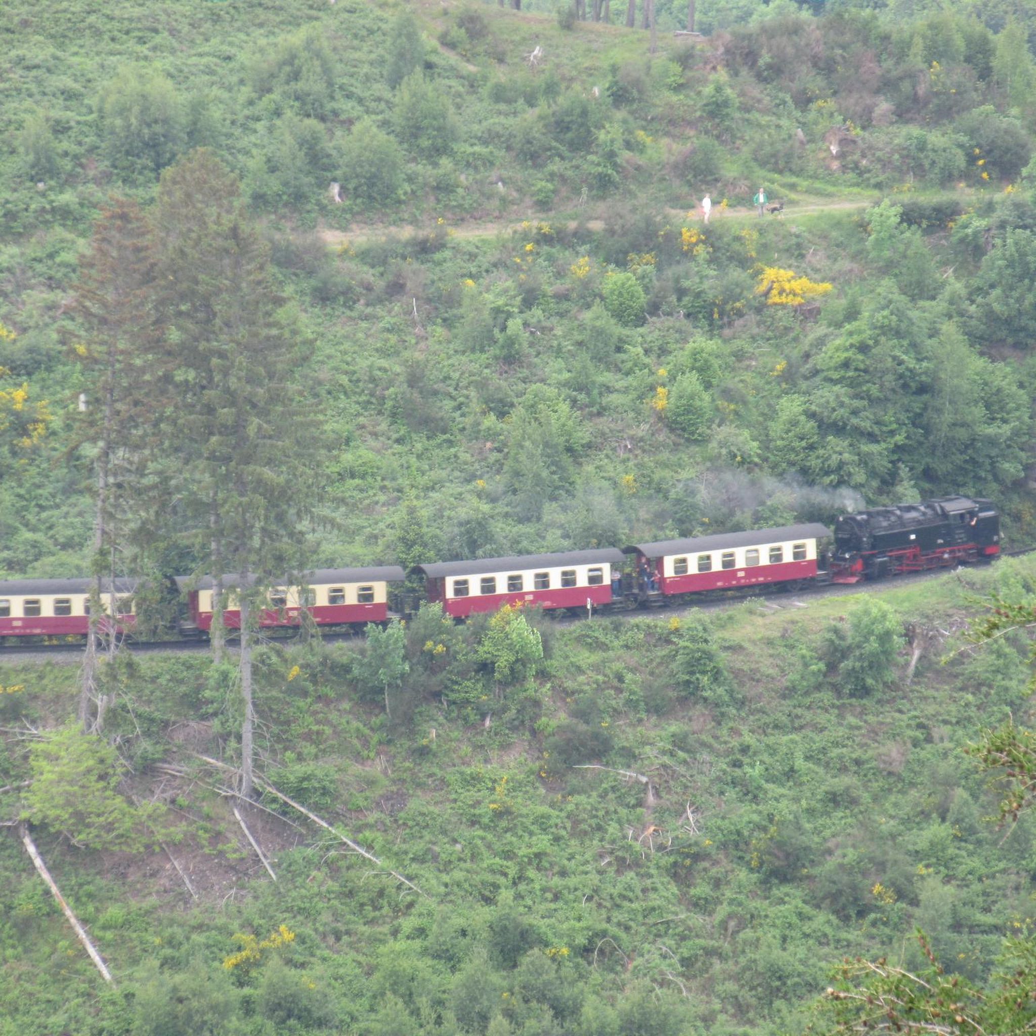
The Bure Valley Railway is a heritage railway offering a nostalgic trip by steam on Norfolk’s longest narrow gauge railway, between the historic market town of Aylsham and bustling town of Wroxham, at the heart of the Norfolk Broads. The Whistlestop Café on the station is open to visitors who aren't planning a train ride. The one-way journey to Wroxham takes about 45 minutes.
0
0
Frequently Asked Questions
How many gravel bike trails are available around Haveringland?
There are over 20 gravel bike trails around Haveringland, offering a diverse range of experiences through rural Norfolk. These routes are highly rated by the komoot community, with an average score of 4.5 stars.
What kind of terrain can I expect on gravel bike trails near Haveringland?
The terrain around Haveringland is quite varied. You'll encounter quiet country lanes, ancient paths, and byways like the Marriott's Way. Routes often feature a mix of well-kept gravel trails, bumpier farm tracks, and some tarmac sections, winding through mature English woodland and past picturesque lakes.
Are there any easy gravel bike routes suitable for beginners or families?
Yes, Haveringland offers several easy gravel bike routes. For a shorter, less strenuous ride, consider the Marriott's Way – River Tud Bridge loop from Taverham, which is 16.3 km long with minimal elevation gain. The wider Norfolk region, including sections of the Peddars Way National Trail, is also known for its accessible, gentle terrain.
What are some popular moderate gravel bike trails in the Haveringland area?
Many of the routes around Haveringland are moderate. Popular choices include the Marriott's Way – Marriott's Way loop from Aylsham (48.6 km) and the Reepham – Marriott's Way loop from Morton on the Hill (39.1 km). These routes traverse rural landscapes and offer varied surfaces.
Are there any circular gravel bike routes near Haveringland?
Yes, many of the gravel bike routes in the area are designed as loops. Examples include the Coltishall Station – Marriott's Way loop from Burgh and Tuttington, which is 58.5 km, and the Marriott's Way – Woodland Lane loop from Felthorpe, covering 42.1 km.
What natural features or landmarks can I see along the gravel bike trails?
The trails often pass through mature English woodland and alongside picturesque lakes. You can explore sections of the historic Marriott's Way, a former railway line, and discover natural areas like Sparham Pools Nature Reserve. Historic sites such as Horstead Mill and St Edmund's Church, Taverham, are also accessible from some routes.
Is Haveringland suitable for dog-friendly cycling?
While Haveringland Hall Country Park itself offers woodland trails suitable for walking with dogs, when cycling on gravel trails, it's important to consider your dog's fitness and the terrain. Many routes utilize public byways and country lanes where dogs are generally permitted, but always keep them under control, especially near livestock or on shared paths.
What is the best time of year for gravel biking in Haveringland?
Norfolk generally experiences a warmer, sunnier, and drier climate than much of the UK, making it pleasant for cycling for much of the year. Spring and autumn offer comfortable temperatures and beautiful scenery. While winter riding is possible, some farm tracks can become wet and rutted after heavy rain, so checking weather conditions is advisable.
Are there options for public transport access to gravel trails near Haveringland?
Haveringland is situated in rural Norfolk, so public transport options directly to trailheads might be limited. However, its proximity to Norwich, a larger city, means you might find bus services to nearby villages. For routes like those along the Marriott's Way, consider starting points in towns like Aylsham or Reepham, which may have better public transport links.
What do other gravel bikers enjoy most about the trails in Haveringland?
The area is highly rated by the komoot community, with an average score of 4.5 stars from over 20 reviews. Reviewers often praise the quiet country lanes, the varied terrain that keeps rides interesting, and the opportunity to explore rural Norfolk's charming landscapes and historic byways.
Are there any long-distance gravel biking opportunities accessible from Haveringland?
Yes, Haveringland's location in Norfolk provides access to longer routes. The Peddars Way National Trail, a 46-mile ancient Roman route, offers significant off-road sections. Additionally, the wider Norfolk region is home to the 'Rebellion Way,' a 373km (232-mile) gravel adventure route that circumnavigates the county, offering a mix of quiet roads, byways, and cycle paths.
Most popular attractions around Haveringland

Get inspired with the komoot mobile app


Explore more
Browse the best Gravel rides in other regions.
