The best gravel rides around South Wingfield
4.4
(97)
744
riders
52
rides
Gravel biking around South Wingfield offers a diverse landscape for riders. The region features a mix of rolling hills, agricultural land, and remnants of former industrial routes, providing varied terrain for gravel cyclists. Many routes utilize disused railway lines and canal towpaths, which offer relatively flat and well-maintained surfaces. The area is characterized by open countryside with occasional woodland sections and small villages.
Best gravel bike trails around South Wingfield
- The most popular gravel bike trail is Five Pits Trail…
Last updated: May 22, 2026
7
riders
111km
06:40
970m
970m
Hard gravel ride. Very good fitness required. Mostly paved surfaces. Suitable for all skill levels.
4.0
(1)
13
riders
59.6km
03:38
600m
600m
Hard gravel ride. Very good fitness required. Mostly paved surfaces. Suitable for all skill levels.

Sign up for free
5.0
(1)
10
riders
18.6km
01:17
190m
190m
Moderate gravel ride. Good fitness required. Mostly paved surfaces. Suitable for all skill levels.
5.0
(2)
14
riders
49.1km
03:03
530m
530m
Hard gravel ride. Very good fitness required. Mostly paved surfaces. Suitable for all skill levels.
12
riders
57.4km
03:14
620m
620m
Hard gravel ride. Very good fitness required. Mostly paved surfaces. Suitable for all skill levels.
Get access to more routes and recommendations from other explorers.
Sign up for free
Already have an account?
Our route recommendations are based on thousands of hikes, rides, and runs completed by other people on komoot.
Start today with a free account
Your next adventure awaits.
Login or Signup
Tips from the Community


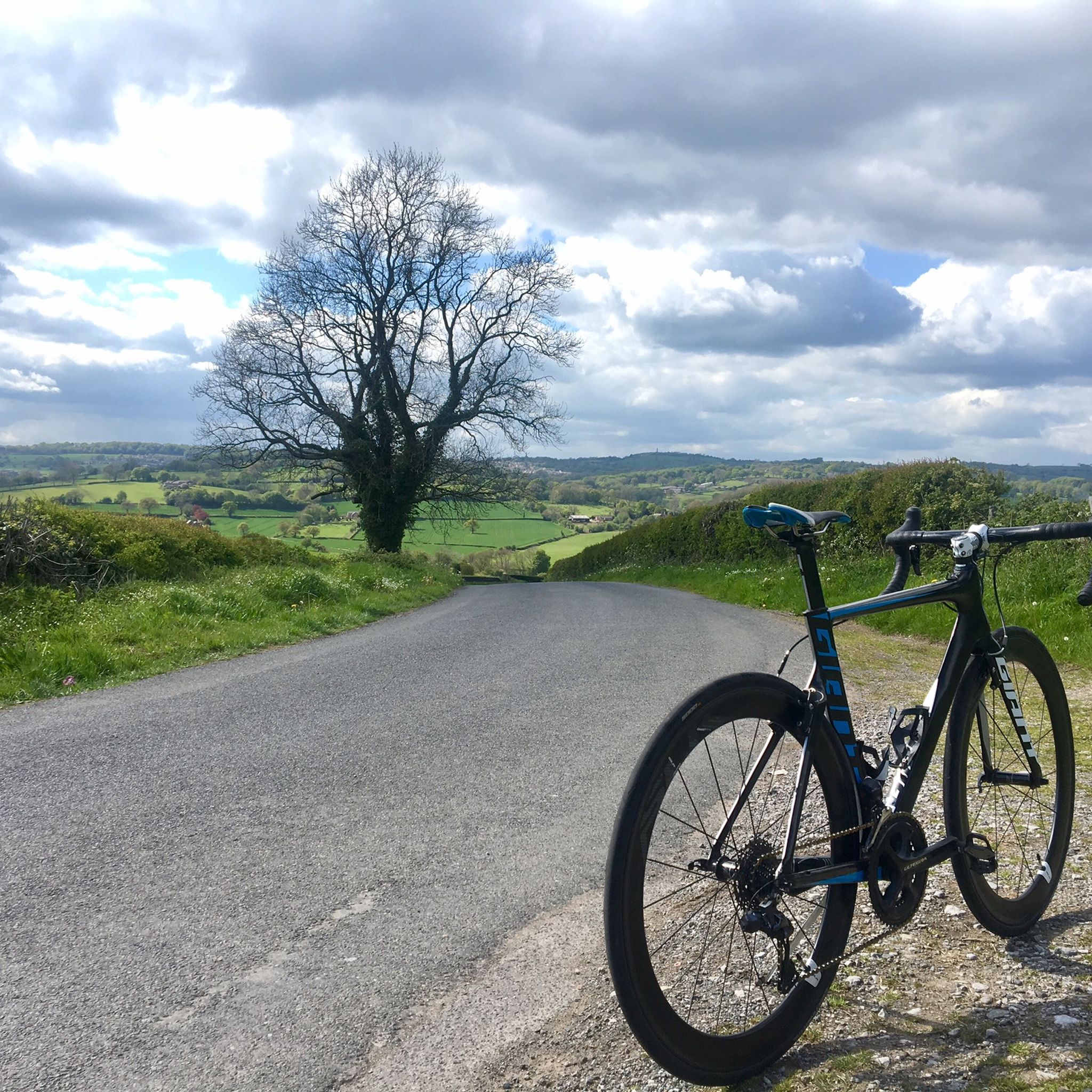
There’s a rock fall just beyond here if you’re heading NW - they have closed the bridleway but there are no signs before the last opportunity to take a detour - i have added pictures of the signs with all the information. I took a detour on bicycle through Brassington. Hopefully the trail should be open by March 6th 2026.
0
0

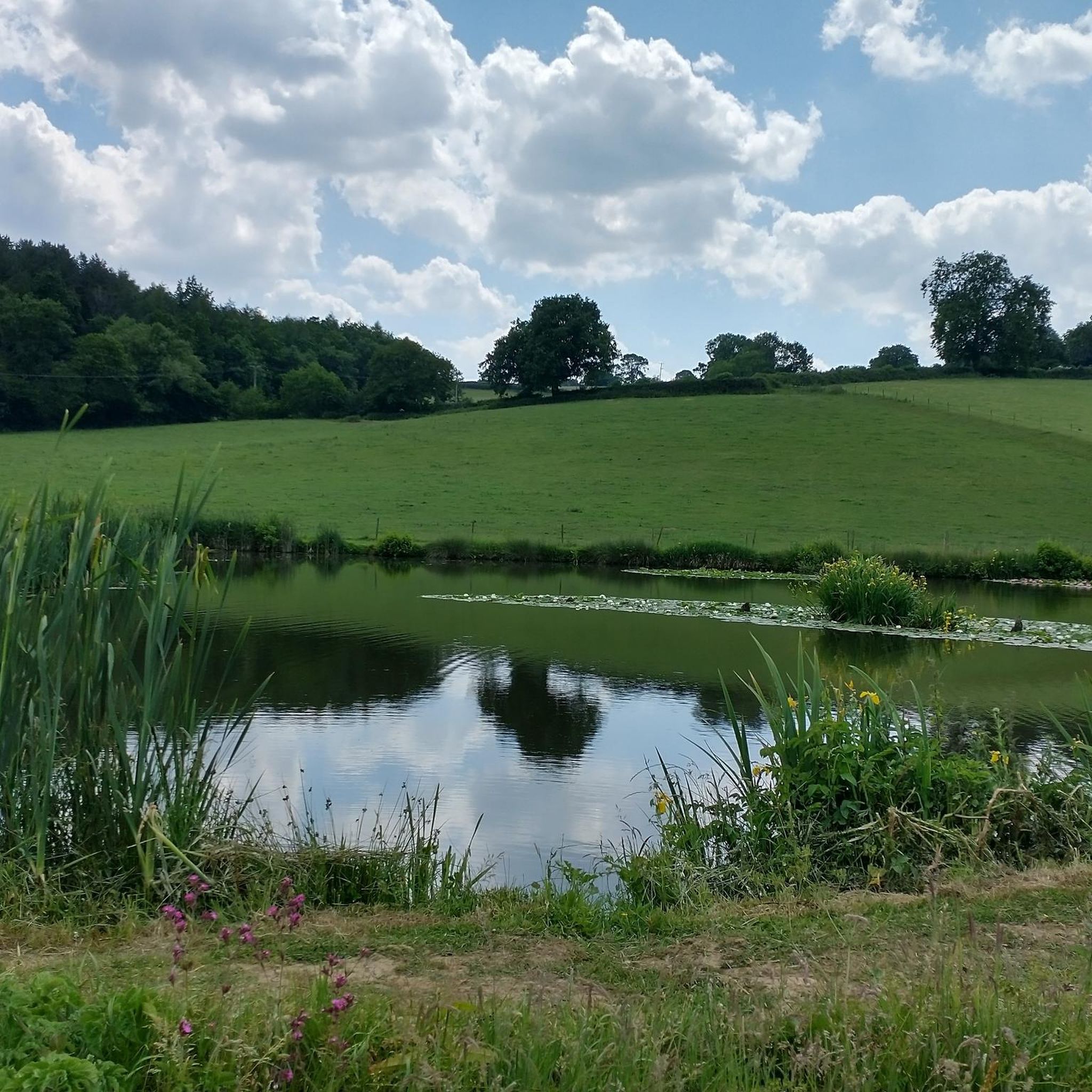
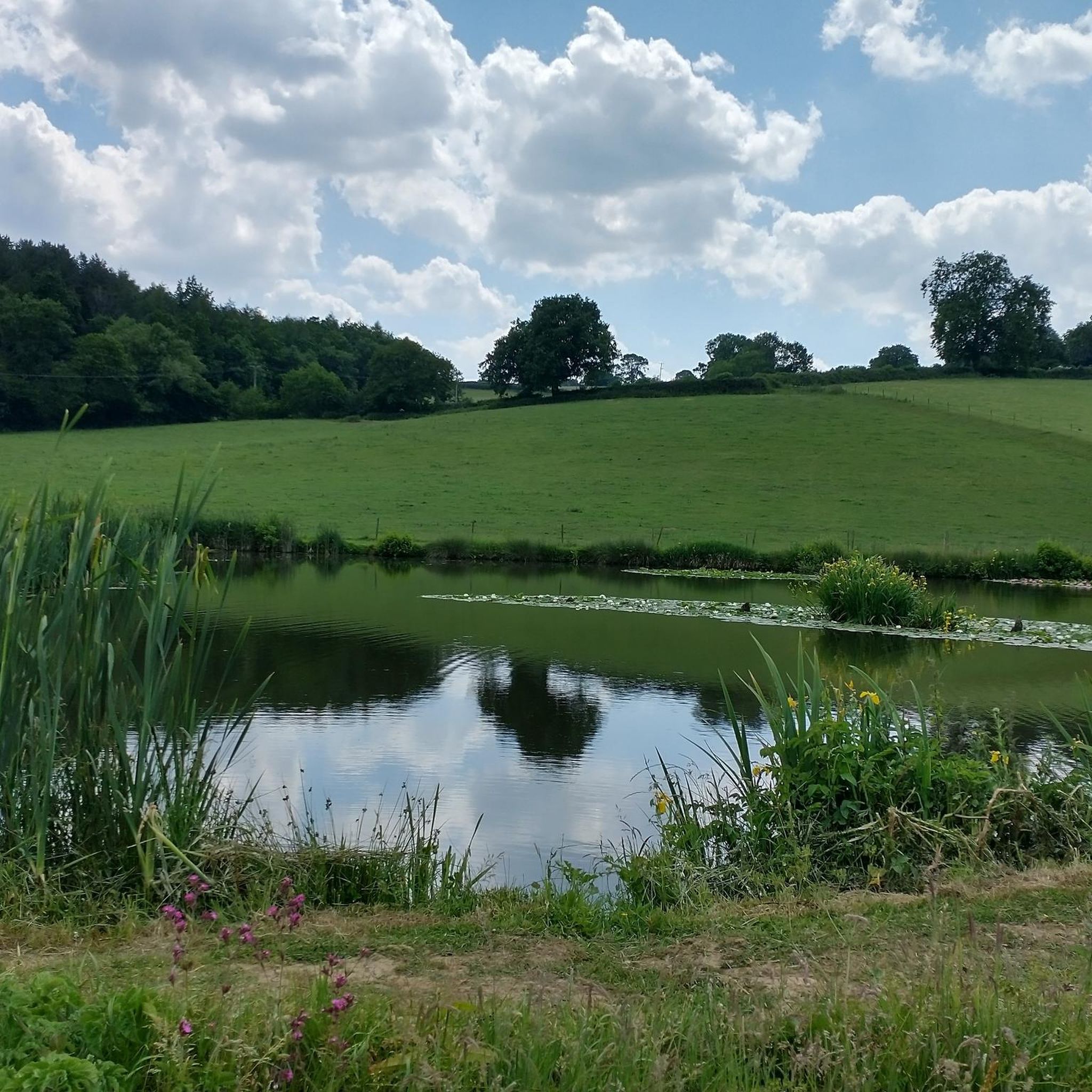
Nice easy flat ride round both lakes a mixture of gravel paths and tarmac roads around the park also a caffe and toilets within the park.
0
0

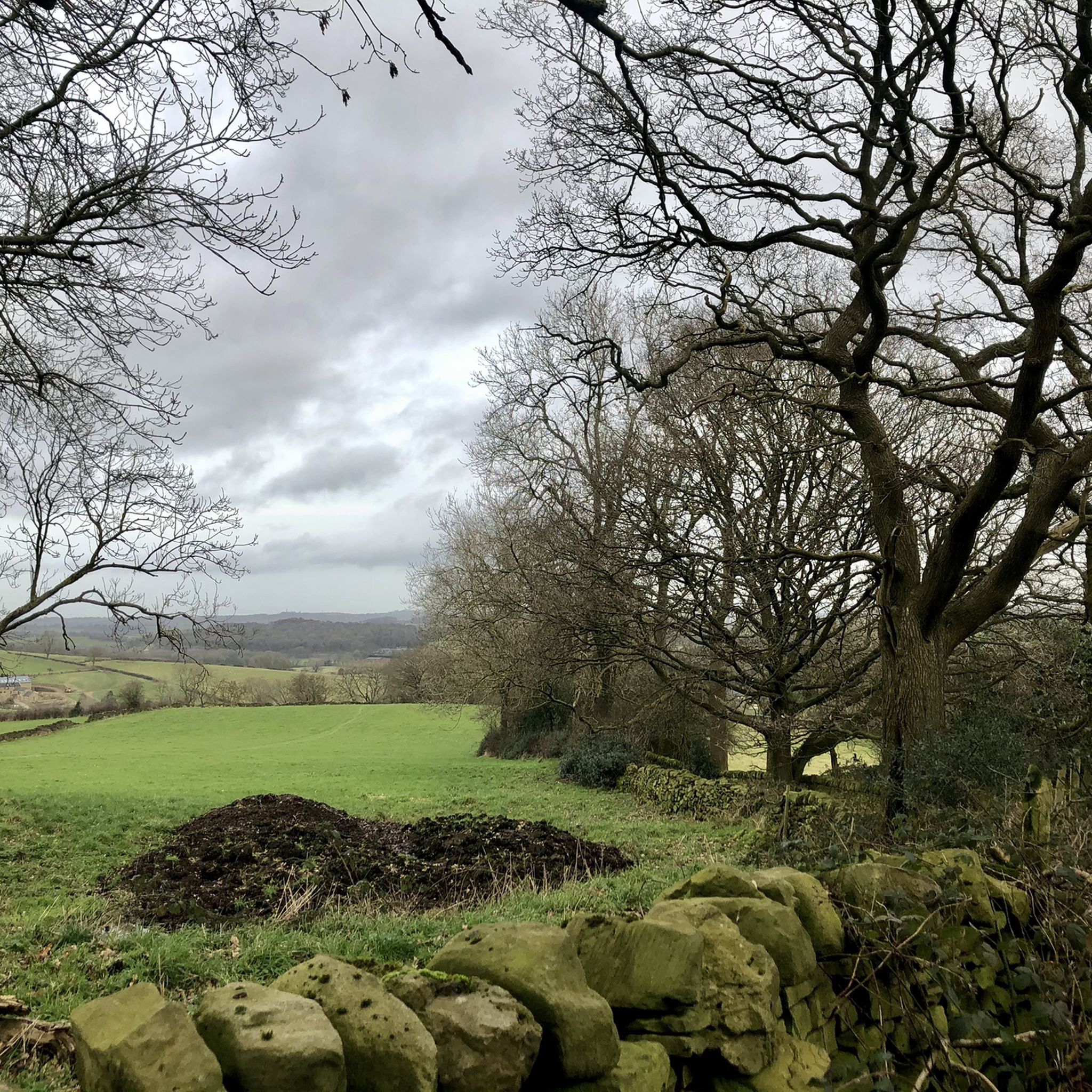
Harder than it looks. Easy to off track, but straightforward to get back on again. Beautiful scenery on untrodden paths. Best when dry
0
0


An astonishing building for the railway that now helps cyclists to pass this valley with much less effort.
0
0

Frequently Asked Questions
What is the general terrain like for gravel biking around South Wingfield?
The South Wingfield area offers a diverse landscape for gravel biking, characterized by rolling hills, agricultural land, and remnants of former industrial routes. Many trails utilize disused railway lines and canal towpaths, providing relatively flat and well-maintained surfaces. You'll encounter open countryside, occasional woodland sections, and small villages.
Are there gravel bike routes suitable for beginners in South Wingfield?
While many routes in the area are rated as difficult, there are a few easier options available. The region's network includes paths suitable for different ability levels, often found on the former railway lines and canal towpaths which offer less challenging terrain.
Where can I find parking for gravel biking routes near South Wingfield?
Many routes, particularly those utilizing former railway lines, often have designated parking areas at trailheads or nearby villages. For example, the Matlock Bath – High Peak Trail loop from Crich CP starts from a car park, and other trails like the Five Pits Trail – View of the Five Pits Trail loop from Swanwick CP also have accessible starting points with parking options.
Are there any family-friendly gravel bike routes in the area?
Yes, routes that follow disused railway lines and canal towpaths are generally flatter and more suitable for families. These paths often provide a safer and more enjoyable experience away from traffic, allowing for a relaxed ride through the countryside.
What kind of scenic views or viewpoints can I expect on gravel bike trails?
The region offers scenic views of open countryside and occasional woodland. You can find notable viewpoints such as High Tor and Giddy Edge, which offer expansive vistas. Many routes also pass through charming small villages and agricultural landscapes.
Are there any circular gravel bike routes around South Wingfield?
Yes, many of the gravel bike routes in the area are designed as loops, allowing you to start and finish at the same point. An example is the Trans Pennine Trail – Rother Valley Country Park loop from Alfreton, which offers an extensive circular journey through varied terrain.
What is the best season for gravel biking in South Wingfield?
Gravel biking in South Wingfield is enjoyable across multiple seasons. Spring and autumn offer pleasant temperatures and vibrant scenery. Summer provides longer daylight hours, while winter can be ridden on the more maintained sections like former railway lines, though some unsurfaced paths may be muddy.
Are there any routes that pass by cafes or places to stop for refreshments?
Many gravel routes in the South Wingfield area pass through or near small villages where you can often find local cafes or pubs for refreshments. Planning your route to include these stops can enhance your ride experience.
What are some interesting historical sites or natural monuments along the gravel trails?
You can discover several interesting points of interest. The High Peak Trail – View of Harboro Rocks loop from Whatstandwell, for instance, is near High Peak Junction, a historical site. You might also encounter natural features like Black Rocks or the Lumsdale Valley Mill Ruins and Waterfall.
What do other gravel bikers say about the routes in South Wingfield?
The gravel biking routes around South Wingfield are highly regarded by the komoot community, holding an average score of 4.4 stars from nearly 100 reviews. Riders often praise the varied terrain, the use of former railway lines for smooth sections, and the open countryside views.
Are there any routes that go through former industrial or colliery sites?
Yes, the region's history is reflected in its trails. The Pond at Silverhill Wood – Teversal Station loop from Alfreton, for example, leads through former colliery sites and woodland, offering a unique historical perspective to your ride.
Most popular routes around South Wingfield
Most popular attractions around South Wingfield

Get inspired with the komoot mobile app


Explore more
Browse the best Gravel rides in other regions.
