The best gravel rides around Tameside
4.6
(57)
380
riders
48
rides
Gravel biking around Tameside offers diverse landscapes, situated between urban Greater Manchester and the fringes of the Peak District National Park. The region features a blend of moorland, river valleys, and canals, providing varied terrain for cyclists. Extensive trail networks, including former railway lines and canal towpaths, characterize the area. This geographical position allows for both accessible, traffic-free routes and connections to more rugged moorland.
Best gravel bike trails around Tameside
- The most popular gravel bike trail is Winscar Reservoir…
Last updated: May 22, 2026
4.8
(4)
22
riders
36.1km
02:08
230m
230m
Moderate gravel ride. Good fitness required. Mostly paved surfaces. Suitable for all skill levels.
5.0
(2)
29
riders
58.1km
03:33
790m
790m
Hard gravel ride. Very good fitness required. You may need to push your bike for some segments of this route.

Sign up for free
4.7
(3)
17
riders
25.6km
01:45
340m
340m
Moderate gravel ride. Good fitness required. Mostly paved surfaces. Suitable for all skill levels.
4.0
(5)
28
riders
Moderate gravel ride. Good fitness required. Mostly paved surfaces. Suitable for all skill levels.
5.0
(1)
11
riders
27.4km
02:12
380m
380m
Moderate gravel ride. Good fitness required. Mostly paved surfaces. Suitable for all skill levels.
9
riders
61.9km
04:00
1,060m
1,060m
Hard gravel ride. Very good fitness required. Mostly paved surfaces. Suitable for all skill levels.
4.0
(2)
11
riders
24.8km
01:37
190m
190m
Moderate gravel ride. Good fitness required. Mostly paved surfaces. Suitable for all skill levels.
3
riders
17.5km
01:22
280m
280m
Moderate gravel ride. Good fitness required. Mostly paved surfaces. Suitable for all skill levels.
5.0
(1)
9
riders
49.1km
02:47
190m
190m
Moderate gravel ride. Good fitness required. Mostly paved surfaces. Suitable for all skill levels.
5.0
(1)
3
riders
33.6km
02:10
370m
370m
Moderate gravel ride. Good fitness required. Mostly paved surfaces. Suitable for all skill levels.
Get access to more routes and recommendations from other explorers.
Sign up for free
Already have an account?
Our route recommendations are based on thousands of hikes, rides, and runs completed by other people on komoot.
Start today with a free account
Your next adventure awaits.
Login or Signup
Popular around Tameside

Gravel biking around Mossley

Trans Pennine Trail – the UK's most iconic coast to coast in 7 days

Spectacular rides in Central England – e-bike trials by Halfords
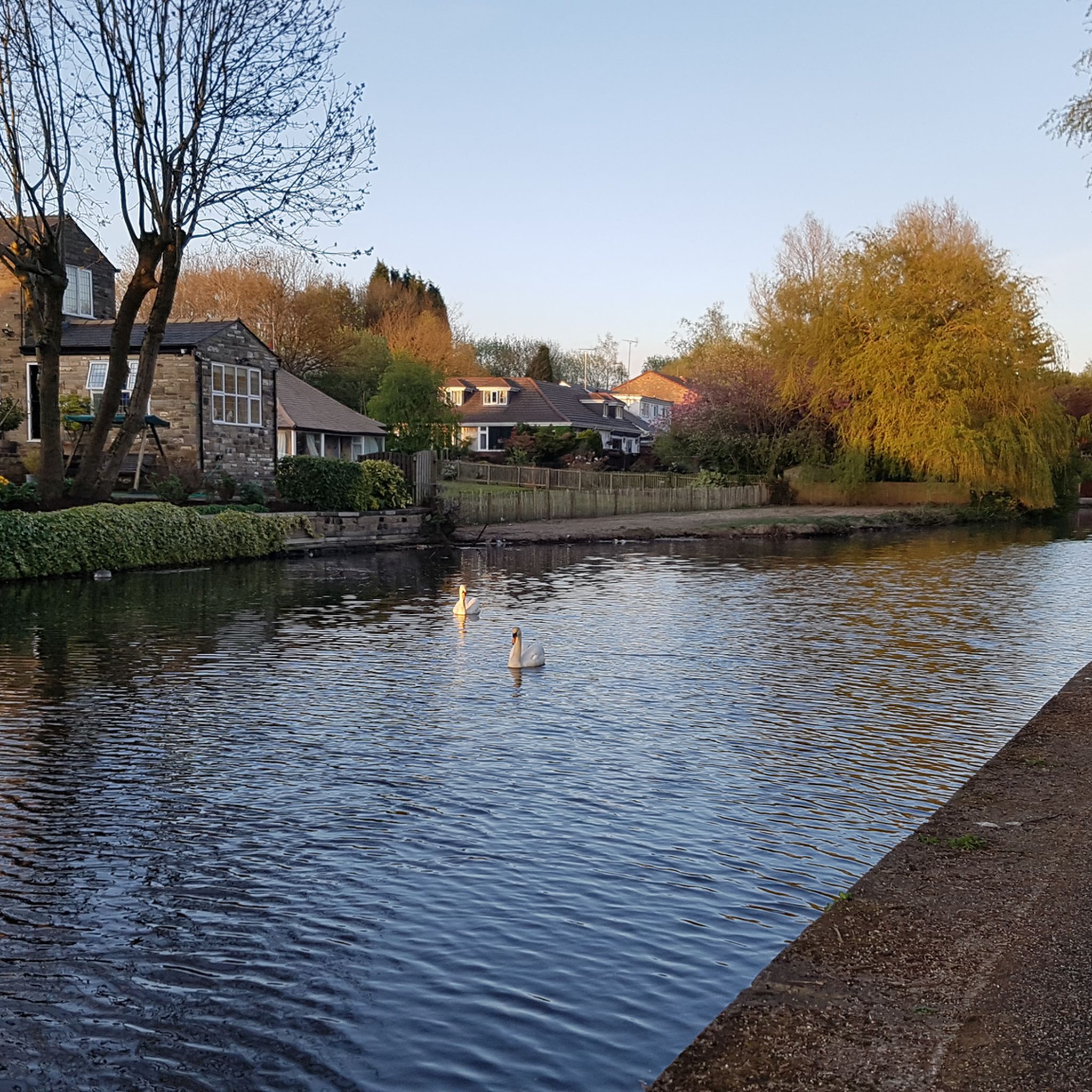
Cycling around Tameside
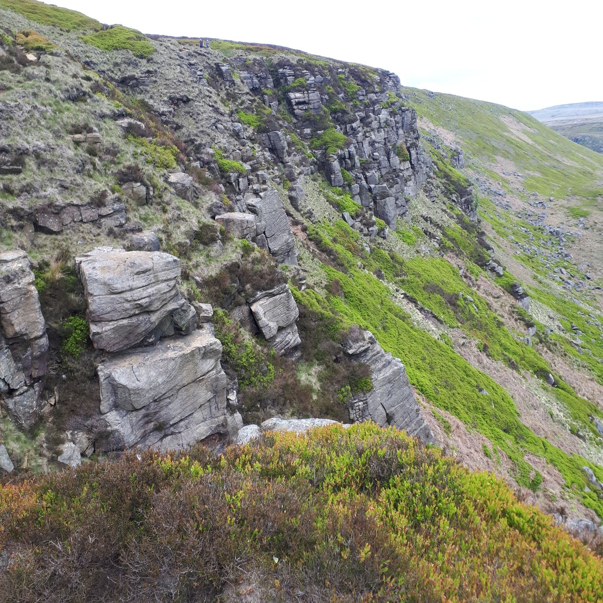
Hiking around Tameside
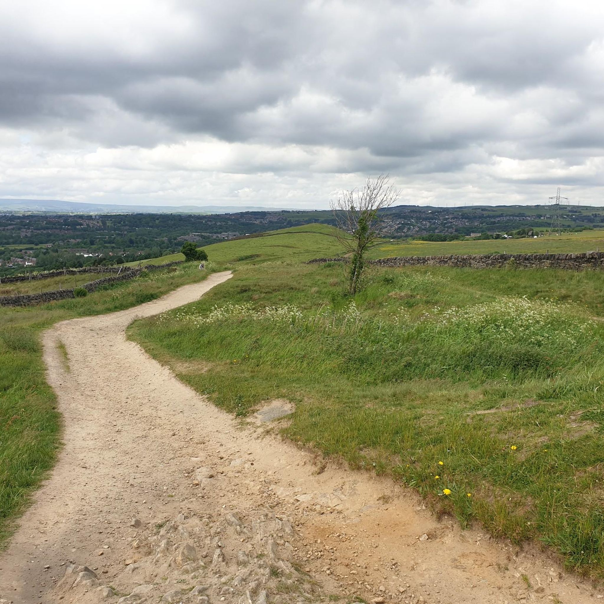
Running Trails around Tameside
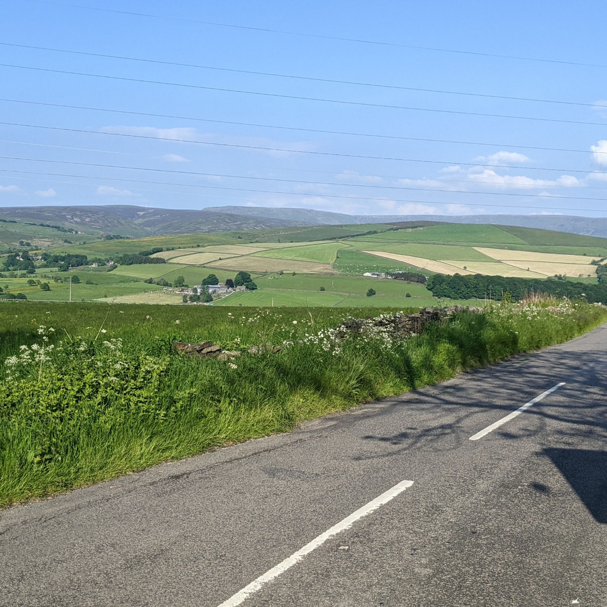
Road Cycling Routes around Tameside
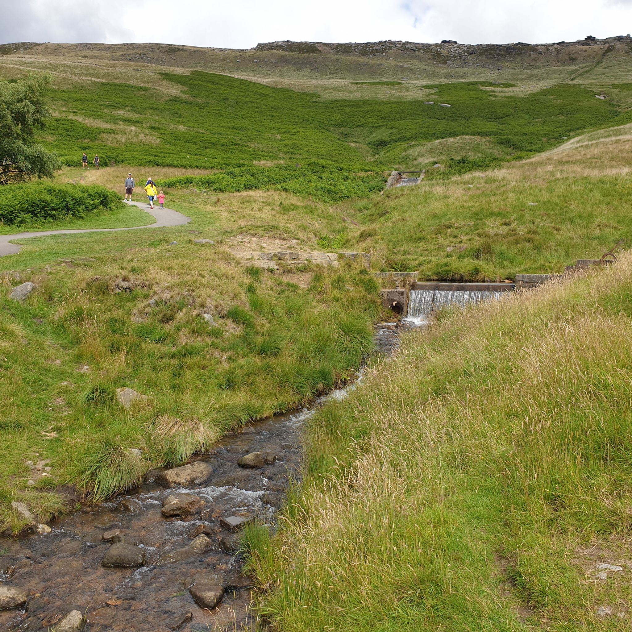
MTB Trails around Tameside
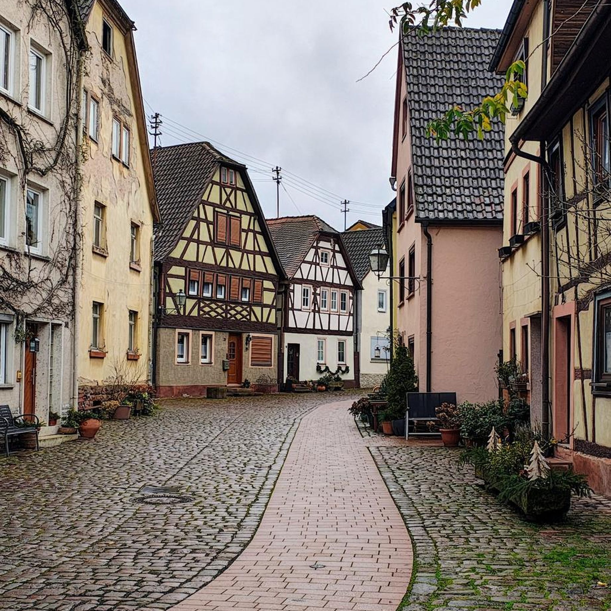
Mountain Hikes around Tameside


Tips from the Community

Stay aware of the surface changes — the towpath can switch from smooth to broken patches quickly, especially near the locks.
0
0

Woodley Tunnel is a canal tunnel located on the Peak Forest Canal in Woodley, Stockport, Greater Manchester. It is one of three original tunnels on the canal and is approximately 500 feet (176 yards) long. The tunnel passes under Hyde Road and features a narrow entrance, a cobbled towpath that has been replaced with concrete, and a significant drop in temperature inside.
0
0


Walk across the Marple Aqueduct, the tallest aqueduct in the UK
0
0

Great steady ride for two old gentlemen? in their 70s
0
0

very fast coming from Pym's chair. then is a leg sapping uphill for a few miles to the end.
0
0

Stockport Hydro, located at Otterspool Weir on Mill Lane in Romiley, Stockport (SK6 7HE), is a community-owned hydroelectric scheme that has been generating renewable energy since 2012 [1]. While the site doesn't have regular public opening hours, they occasionally host open afternoons where visitors can tour the facility and learn about its operations. For instance, an open afternoon was held on November 24, 2024 [2]. To stay informed about upcoming events, it's advisable to check their official website or contact them directly. Additionally, the site is adjacent to a public footpath shared by the Midshires Way, a long-distance hiking trail, making it accessible for walkers who wish to view the facility from the outside. [1] https://www.waymarking.com/waymarks/wm10F02_Stockport_Hydro_Romiley_Manchester [2] https://stayhappening.com/e/stockport-hydro-open-afternoon-E2ISX4P6FQP
0
0
For a unique experience along the Ridgeway, Britain's oldest road, consider visiting during the spring months. This period offers vibrant wildflower displays and milder weather, enhancing the scenic beauty of the trail. Additionally, the ancient beech forests in the Chilterns section are adorned with bluebells in spring, creating picturesque landscapes [1]. Remember to carry sufficient water, as the upland areas of the Ridgeway lack natural water sources. [1] https://www.bbc.co.uk/travel/article/20240723-the-ridgway-hike-the-5000-year-old-pathway-thats-britains-oldest-road [2] https://britishheritage.com/travel/the-ridgeway-britains-oldest-highway
0
0
Frequently Asked Questions
What types of terrain can I expect on gravel bike trails in Tameside?
Tameside offers a diverse range of terrain for gravel biking. You'll find everything from gentle, traffic-free canal towpaths and former railway lines to more challenging routes through moorland and river valleys. The region's proximity to the Peak District National Park also means access to rugged gritstone moorlands, providing varied surfaces for all skill levels.
Are there any easy or beginner-friendly gravel bike trails in Tameside?
Yes, Tameside has several routes suitable for beginners and those looking for an easier ride. The canal towpaths, such as sections of the Ashton Canal and Peak Forest Canal, offer largely traffic-free and relatively flat surfaces. The Longdendale Trail, a former railway line, is also known for its gentle gradients and family-friendly gravel path. Overall, there are over 10 easy routes available.
Where can I find more challenging gravel bike routes in Tameside?
For more advanced gravel bikers, routes that venture towards the fringes of the Peak District National Park will offer significant elevation gain and more rugged terrain. For example, the Winscar Reservoir – Dunford Bridge loop from Glossop is a difficult 36.1-mile trail featuring substantial climbs and expansive moorland views. Other challenging options can be found in the moorland areas surrounding the Longdendale Valley.
What natural features or landmarks can I see along Tameside's gravel trails?
Tameside's gravel trails offer access to a variety of natural beauty and historical landmarks. You can explore the scenic Longdendale Valley with its series of five reservoirs, or ride alongside the picturesque Rivers Tame, Etherow, and Medlock. Notable landmarks include the historic Hartshead Pike Tower, offering panoramic views, and the impressive Ashton Canal with its unique engineering. You might also encounter the Alphin Pike summit and trig point for stunning vistas.
Are there any family-friendly gravel biking options in Tameside?
Absolutely. The Longdendale Trail is an excellent choice for families, offering a traffic-free, relatively flat gravel path along former railway lines with beautiful reservoir views. Canal towpaths, while sometimes having varied surfaces, also provide safe and accessible routes away from road traffic, making them suitable for family outings.
Can I find circular gravel bike routes in Tameside?
Yes, many of the gravel routes in Tameside are designed as loops, allowing you to start and finish in the same location. Examples include the Standedge Tunnel – Saddleworth Rail Trail loop from Mossley and the Reddish Vale Viaduct – Reddish Vale Downhill Section loop from Levenshulme. These circular routes make planning your ride and return journey straightforward.
What is the best time of year for gravel biking in Tameside?
Spring and autumn generally offer the most pleasant conditions for gravel biking in Tameside, with milder temperatures and beautiful scenery. Summer is also great, though some trails can get busy. While winter riding is possible, be prepared for potentially muddy sections on unsurfaced trails, especially along canal towpaths between Marple and Hyde, and check weather conditions for higher moorland routes.
Are there places to eat or drink along the gravel bike trails in Tameside?
Yes, many routes pass through or near towns and villages where you can find cafes, pubs, and shops. The canal towpaths, in particular, often lead to waterside establishments. For example, routes like the Marple Aqueduct – Marple Aqueduct loop from Newton for Hyde will take you close to amenities in areas like Marple.
How accessible are Tameside's gravel trails by public transport?
Tameside is well-connected by public transport, making many trailheads accessible. Train stations in towns like Glossop, Mossley, and Marple provide good starting points for routes that venture into the Peak District or along canal networks. Local bus services also connect various parts of the borough, allowing for flexible access to different trail sections.
What do other gravel bikers enjoy most about Tameside?
The komoot community highly rates gravel biking in Tameside, with an average score of 4.6 stars from over 60 reviews. Riders frequently praise the region's diverse landscapes, from the quiet beauty of river valleys and ancient woodlands to the expansive views from moorland trails. The extensive network of traffic-free paths, including former railway lines and canal towpaths, is also a popular highlight, offering accessible and enjoyable rides for various abilities.
Are there any hidden gems or less-known gravel routes in Tameside?
Beyond the well-known Longdendale Trail and canal towpaths, Tameside boasts a network of local trails like the Tameside Trail and Tame Valley Way. These often connect rural areas with green spaces on the edge of towns, providing quieter, less-trafficked options. Exploring these local links can reveal charming woodlands, riverside paths, and unique perspectives of the region.
Most popular routes around Tameside
Most popular attractions around Tameside

Get inspired with the komoot mobile app


Didn’t find what you were looking for?
Check out more Gravel rides throughout Tameside below and find the perfect route in your destination.
Explore more
Browse the best Gravel rides in other regions.
