The best gravel rides around Plombières
4.5
(607)
3,995
riders
227
rides
Gravel biking around Plombières offers diverse landscapes characterized by rolling hills, dense forests, and a mix of paved and unpaved surfaces. The region features river valleys like the Gueule and Gulp, along with the unique calamine lawns of the Plombières Mine Site. Cyclists encounter varied terrain, including gravel roads, dirt tracks, and wooded trails, providing a quintessential gravel biking experience.
Best gravel bike trails around Plombières
- The most popular gravel bike trail is View of the Dreilägerbach Dam – Eupen…
Last updated: September 29, 2026
4.7
(15)
123
riders
29.8km
01:53
420m
420m
Moderate gravel ride. Good fitness required. Mostly paved surfaces. Suitable for all skill levels.
4.5
(2)
33
riders
Hard gravel ride. Very good fitness required. You may need to push your bike for some segments of this route.

4.6
(5)
29
riders
53.3km
03:40
720m
720m
Hard gravel ride. Very good fitness required. Mostly paved surfaces. Suitable for all skill levels.
4.5
(2)
20
riders
61.3km
04:12
610m
610m
Hard gravel ride. Very good fitness required. Mostly paved surfaces. Suitable for all skill levels.
13
riders
30.6km
02:01
460m
460m
Hard gravel ride. Very good fitness required. Mostly paved surfaces. Suitable for all skill levels.
Get access to more routes and recommendations from other explorers.
Already have an account?
Our route recommendations are based on thousands of hikes, rides, and runs completed by other people on komoot.
Start today with a free account
Your next adventure awaits.
Popular around Plombières
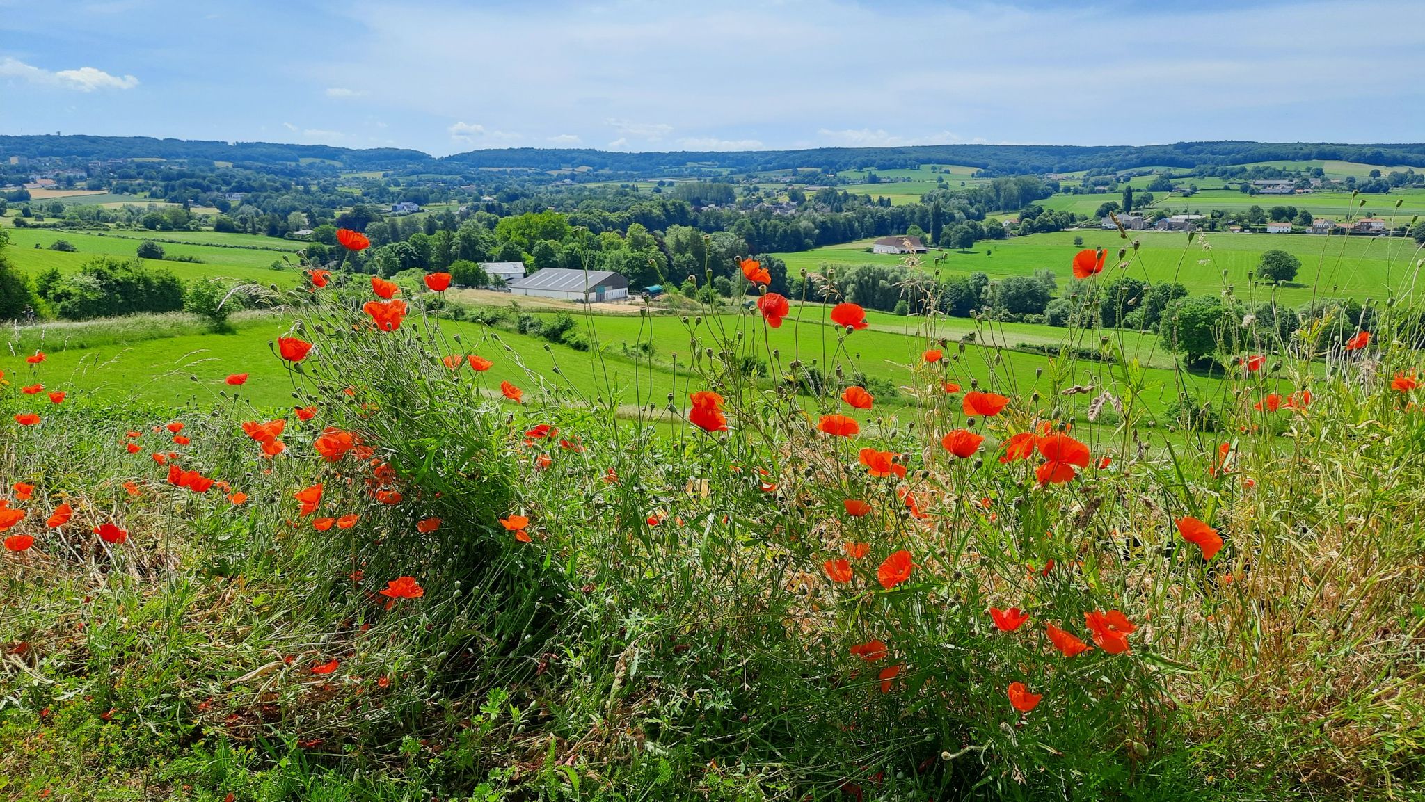
Hiking in the border triangle – GrenzRouten Aachen
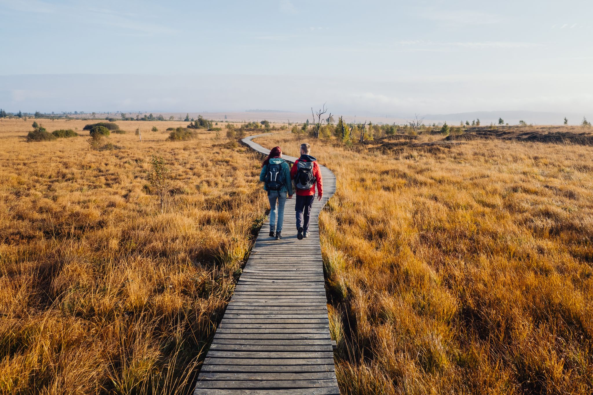
Venntrilogie – the premium hiking experience in East Belgium
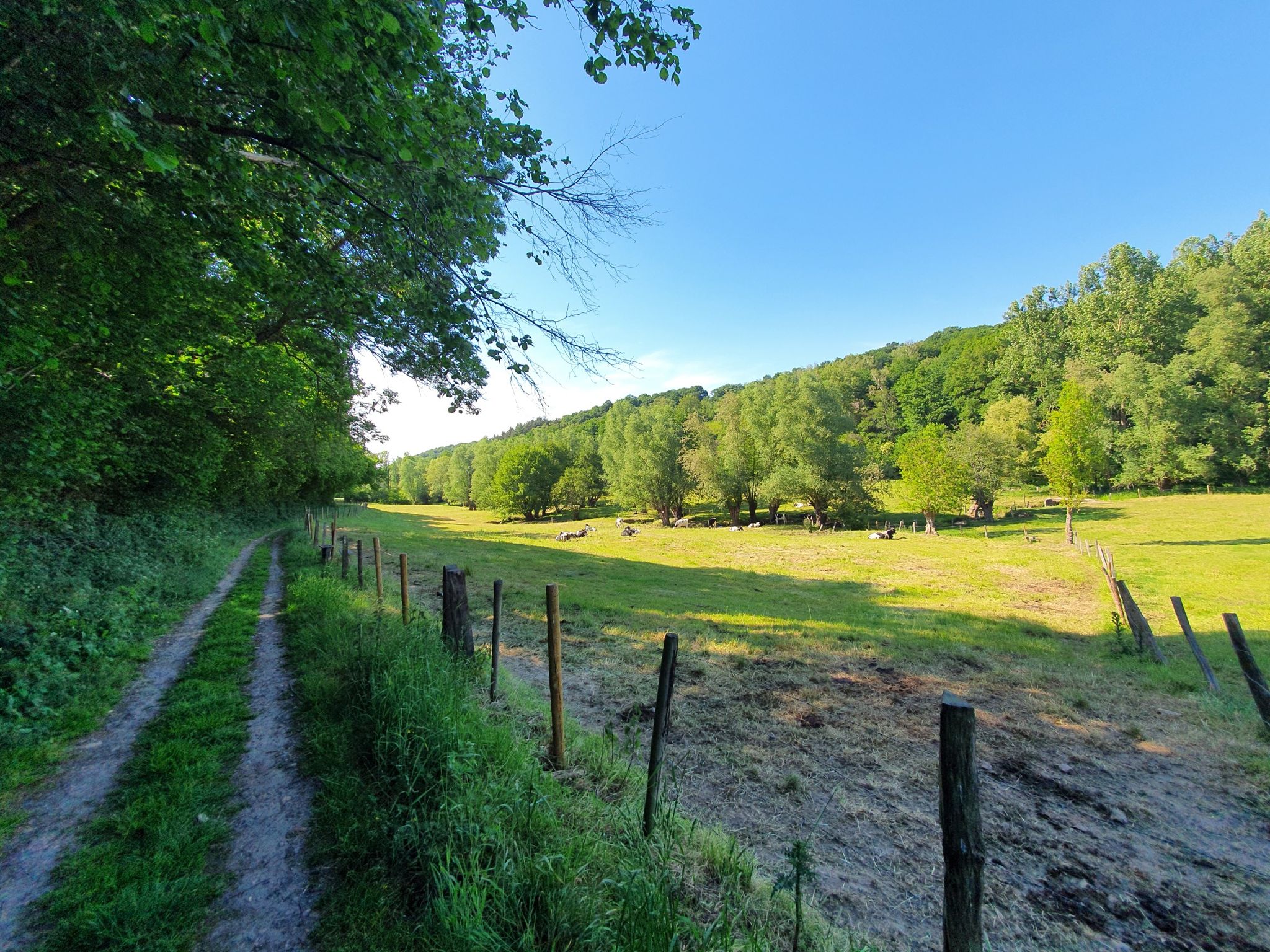
Hike between orchards and hedgerows – Belgium’s Tour du Pays de Herve
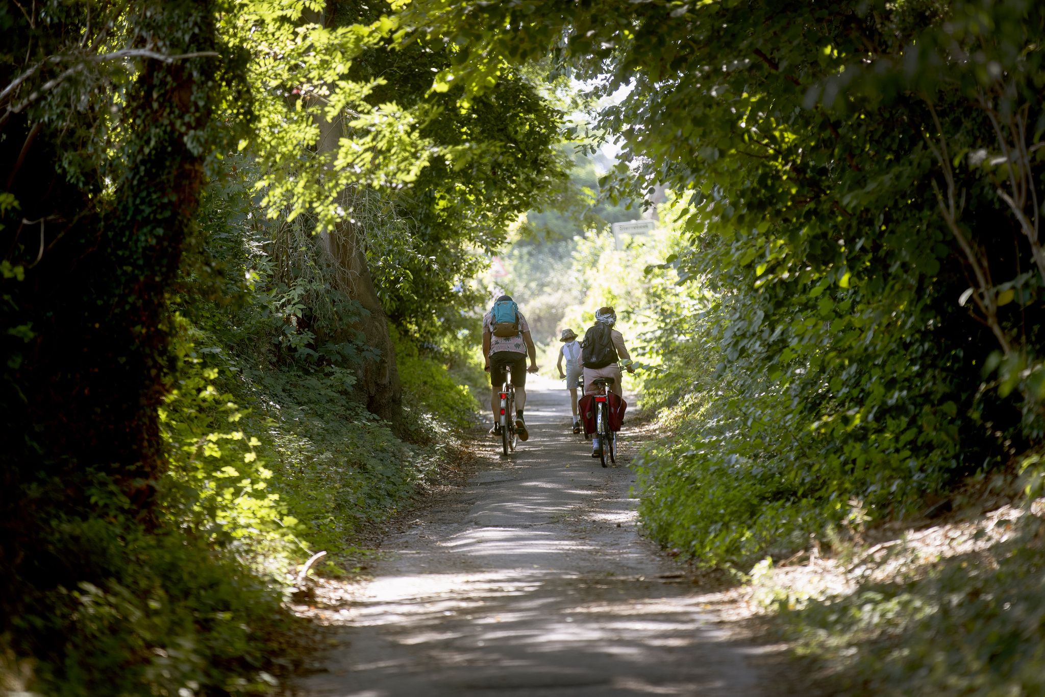
Flanders by bike: Cycling through nature
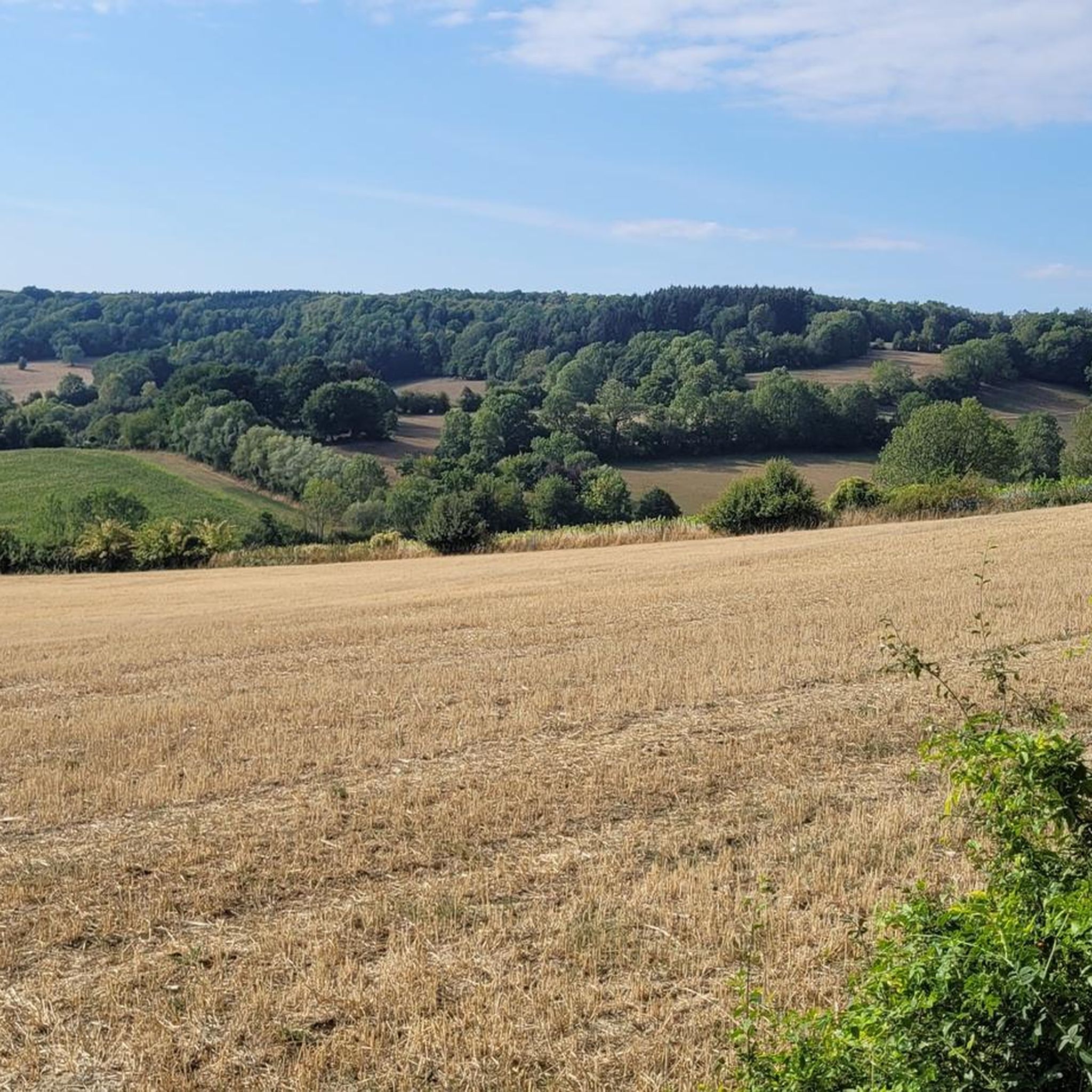
Hiking around Plombières
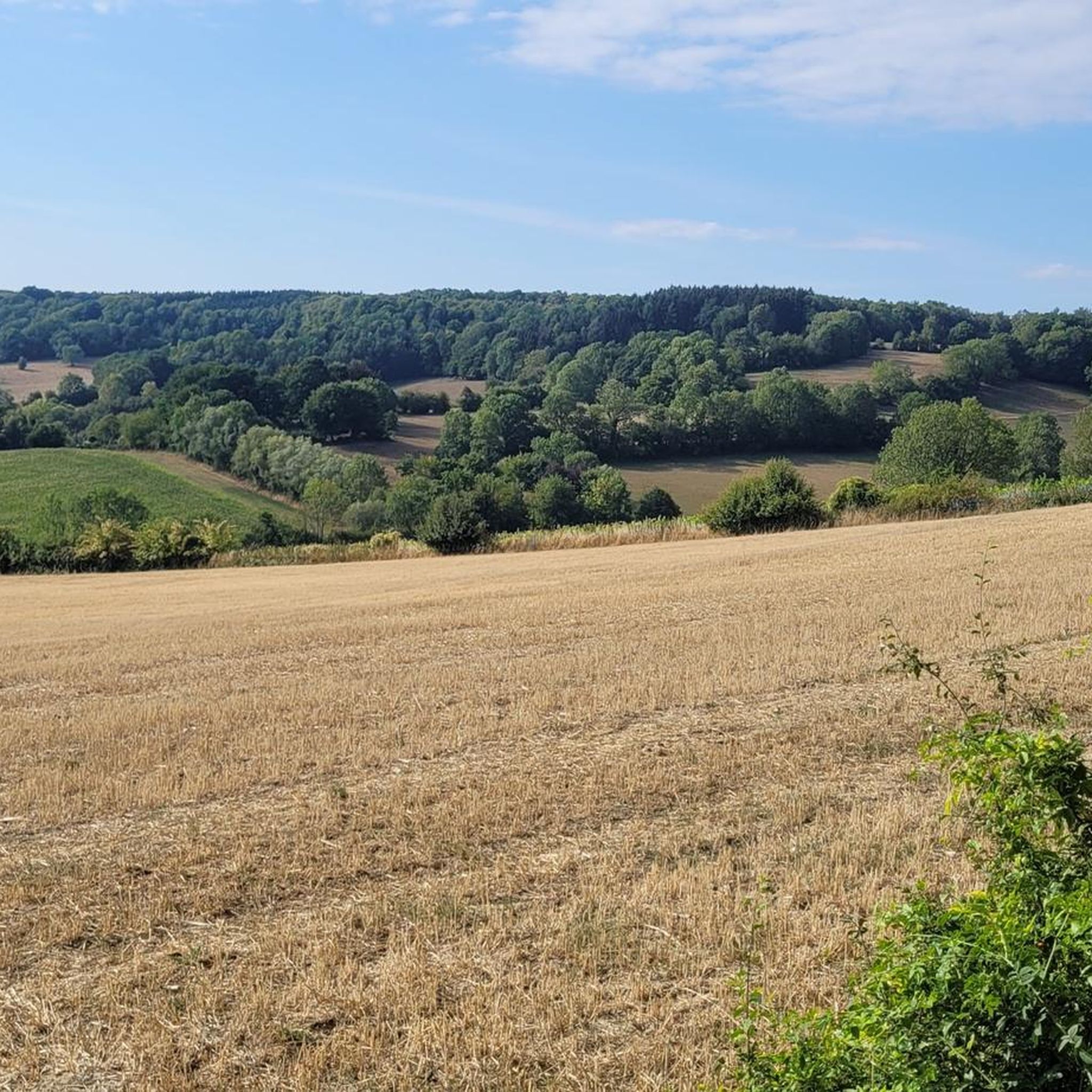
Cycling around Plombières
Running Trails around Plombières
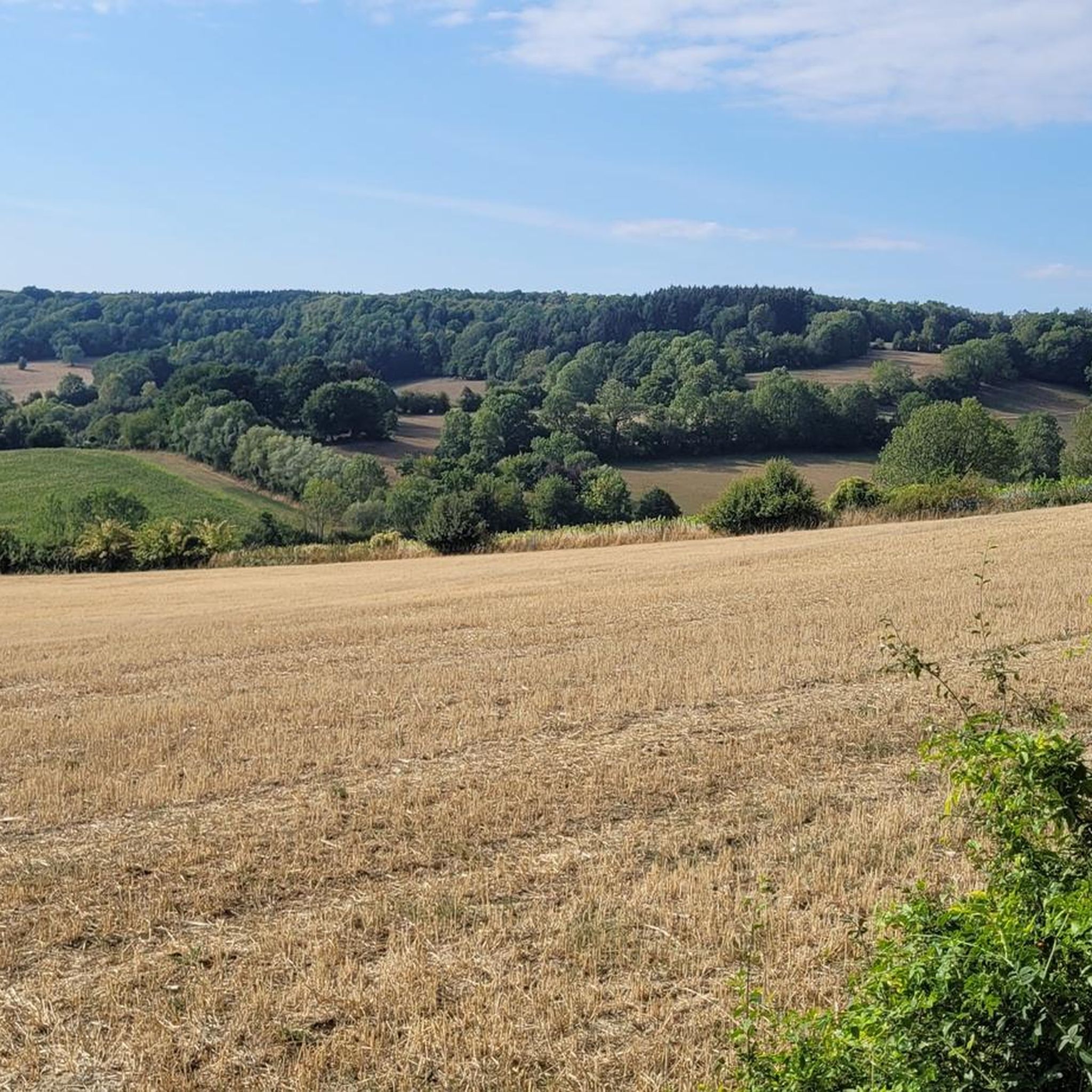
Road Cycling Routes around Plombières
MTB Trails around Plombières
Mountain Hikes around Plombières
Other adventures around Plombières


Tips from the Community

Half-timbered houses, beautiful paths, good views
0
0

It looms impressively out of the landscape. Beautiful piece of nature
0
0
Why is this called the millions railway line? A steam train still runs over it. https://share.google/68W8acauP6FBn7D6l
0
0

A fairly rising path from Koelebösj up to Berg.
1
0

Beautiful view of the caves.
0
0

Recommended as an ascent. Not so much as a descent, because it is a relatively narrow, blind path with a lot of traffic. Partially hollows with gravel
0
0


The village of Eys lies amidst the renowned hilly landscape of South Limburg, which distinguishes itself from the rest of the Netherlands with its rolling meadows, steep slopes, and panoramic vistas. From various hiking and cycling trails around Eys, you can experience beautiful views of the village and its surroundings, especially when you hike uphill and look out over the Eyserbeek valley, the surrounding fields, and sweeping slopes. One of the most famous spots for such a view is along the paths towards Eyserbosweg and Doeveberg, where hiking trails take you to points with open perspectives over Eys and the South Limburg landscape. From here, the green hills stretch out in all directions, offering views of meadows, forests, and sometimes even the region's vineyards. These panoramas are so beloved that they are often captured by photographers and artists as quintessential South Limburg landscapes that evoke the feeling of standing on a Tuscan hillside. Hiking trails like the Gulpen-Wittem Wi3 take you through the area around Eys, with frequent viewing points where you can stop to take photos or simply enjoy the view. On clear days, you can see far across the forests and hills, with the village of Eys itself forming part of the picturesque panorama that makes this region so popular with hikers and cyclists. Thanks to Eys's location on a ridge and the presence of natural contour lines, the area offers places where you can literally stand on top of the slope and look down on the village center and the surrounding valley. This makes the view one of the most beautiful features of the South Limburg landscape, a landscape often praised in hiking guides and artworks for its atmosphere and beauty.
0
0
Frequently Asked Questions
How many gravel bike trails are available around Plombières, and what are their difficulty levels?
Plombières offers a wide selection of gravel bike trails, with over 390 routes to explore. These routes cater to various skill levels, including 18 easy trails, 181 moderate trails, and 191 difficult trails, ensuring there's something for every gravel biker.
What kind of terrain can I expect on gravel bike trails in Plombières?
The terrain around Plombières is diverse, featuring rolling hills, dense forests, and a mix of paved and unpaved surfaces. You'll encounter gravel roads, dirt tracks, and wooded trails. The region also incorporates scenic RAVeL paths, which are often well-maintained former railway lines, providing a varied and engaging gravel biking experience.
Are there any family-friendly gravel biking options in Plombières?
Yes, Plombières offers 18 easy gravel bike trails that are generally suitable for families or those looking for a more relaxed ride. These routes often utilize the flatter sections of RAVeL paths, providing a safer and more enjoyable experience away from heavy traffic. Look for routes with lower elevation gain and shorter distances.
What are some notable natural features or attractions I can see along the gravel bike routes?
Many gravel routes in Plombières pass through picturesque landscapes and near interesting attractions. You can explore the unique calamine lawns at the Mine entrance and Geul sinkhole — Plombières Nature Reserve, or ride through the scenic Geuldal Valley. The region's river valleys, like the Gueule and Gulp, also offer beautiful backdrops for your rides.
Are there any historical sites or landmarks accessible by gravel bike?
Absolutely. You can cycle to the unique Vaalserberg Three-Country Point, where Belgium, the Netherlands, and Germany meet, offering panoramic views. Another historical point of interest is the Oskar Tunnel (Oskarstollen), which is part of the region's mining heritage.
What do other gravel bikers appreciate most about the trails in Plombières?
The komoot community highly rates the gravel biking experience in Plombières, with an average score of 4.6 stars from over 660 reviews. Riders often praise the diverse landscapes, the mix of challenging climbs and scenic descents, and the opportunity to explore nature away from traffic. The integration of RAVeL paths and the varied terrain are frequently highlighted as key attractions.
Can I find routes that are challenging for experienced gravel bikers?
Yes, Plombières is well-suited for experienced gravel bikers, with 191 difficult routes available. These trails often feature significant elevation gains and varied surfaces, including sections where you might need to push your bike. An example is the Beusdael Castle – Bergenhuizenweg Climb loop from Plombières, which includes substantial climbing.
Are there any circular gravel bike routes available?
Many of the gravel bike routes in Plombières are designed as loops, allowing you to start and end at the same point. For instance, the Aachen Cathedral – RAVeL 38 Plombières loop from Montzen offers a circular journey through varied landscapes, including sections of the RAVeL network.
What is the best time of year for gravel biking in Plombières?
The region's rolling hills and forests make it enjoyable for gravel biking across multiple seasons. Spring and autumn offer pleasant temperatures and beautiful scenery, with changing foliage. Summer provides longer daylight hours, while winter conditions can be more challenging, especially on unpaved sections, but can also offer a unique, quiet experience.
Are there any routes that incorporate the RAVeL paths?
Yes, the Plombières region benefits from RAVeL routes, which are often integrated into gravel biking trails. These paths, built on former railway lines, provide relatively flat and well-maintained surfaces. The Casino Pond – RAVeL 39 Moresnet Railway Path loop from Teuven is a great example of a route that utilizes these scenic paths.
Are there any gravel routes that offer panoramic views?
Given the rolling hills and diverse landscapes, many routes offer scenic viewpoints. The View of the Dreilägerbach Dam – Eupen Reservoir (Wesertalsperre) loop from Sippenaeken, for example, explores the Eupen Reservoir area, providing expansive views of the water and surrounding nature.
Most popular routes around Plombières
Most popular attractions around Plombières

Get inspired with the komoot mobile app


Explore more
Browse the best Gravel rides in other regions.
