The best gravel rides around Étalle
4.7
(43)
605
riders
33
rides
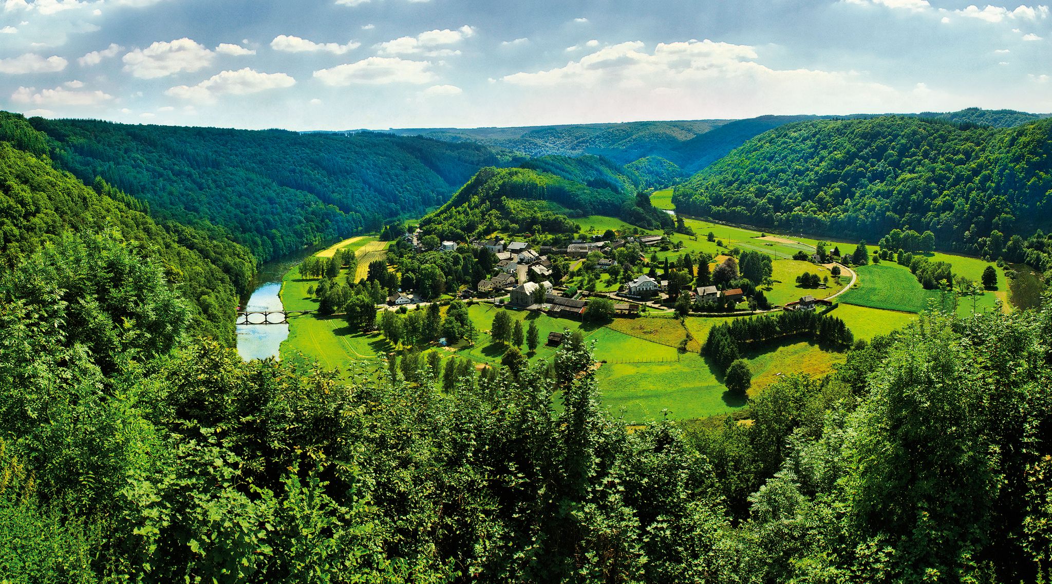
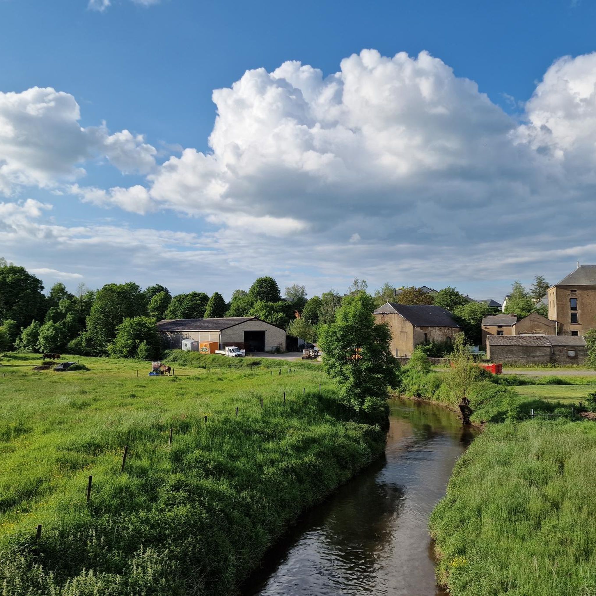
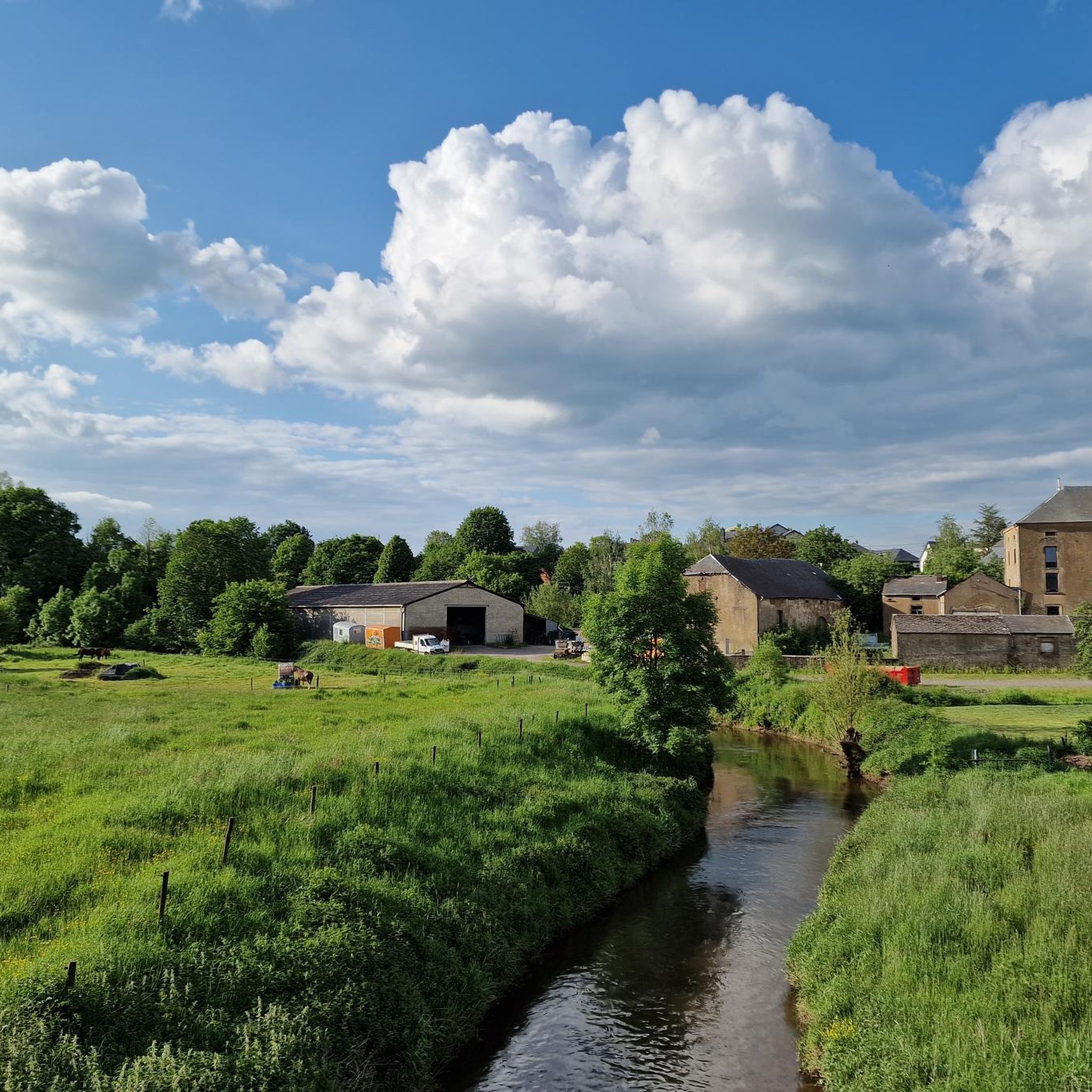
Gravel biking around Étalle offers diverse landscapes within the Gaume region of the Belgian province of Luxembourg. The area features extensive forests, rolling countryside, and serene river valleys, including the Rulles river and its associated ponds. Trails often incorporate a mix of surfaces, from unpaved sections and compacted gravel to asphalt and singletrack. This varied terrain, including unique geological characteristics like "mardelles" and "crons," provides a compelling experience for gravel cyclists.
Best gravel bike trails around Étalle
- The most popular…
Last updated: June 24, 2026
5.0
(1)
17
riders
70.1km
04:17
560m
560m
Hard gravel ride. Very good fitness required. Mostly paved surfaces. Suitable for all skill levels.
22
riders
91.2km
05:43
880m
880m
Hard gravel ride. Very good fitness required. Mostly paved surfaces. Suitable for all skill levels.

Sign up for free
5.0
(1)
10
riders
50.0km
03:50
670m
670m
Hard gravel ride. Very good fitness required. Mostly paved surfaces. Suitable for all skill levels.
7
riders
29.4km
01:52
200m
200m
Hard gravel ride. Good fitness required. You may need to push your bike for some segments of this route.
8
riders
15.8km
01:03
90m
90m
Easy gravel ride. Great for any fitness level. Mostly paved surfaces. Suitable for all skill levels.
Get access to more routes and recommendations from other explorers.
Sign up for free
Already have an account?
Our route recommendations are based on thousands of hikes, rides, and runs completed by other people on komoot.
Start today with a free account
Your next adventure awaits.
Login or Signup
Other adventures around Étalle

Tips from the Community

The Trench of Gates: Gateway to Gaume, Gateway to Legends 1. What is it? Physical Description The Trench of Gates is a deep and spectacular rocky gorge, naturally carved by the Vire River (a tributary of the Semois) into the sandstone plateau of the Gaume forest. Located in the village of Dampicourt (commune of Rouvroy), on the French border, it forms a narrow and winding notch, framed by high sandstone walls and strangely shaped rocks. Its name comes from its topography: the site gives the impression of crossing several successive natural "gates." 2. A Strategic Position: Military History The true fame of the Trench of Gates comes from its historical role as a natural fortress and strategic border post. A Gallic Stronghold? : Its easily defensible configuration suggests that it was used as a refuge since the Gallic era. The Roman Fort: Its strategic role became evident during the Roman era. The Romans established a castellum (a fortified camp) there to control the passage between Belgic Gaul and Imperial Trier, and to protect the nearby Roman road. Remains of these fortifications were still visible several centuries ago. A Millennial Challenge: Due to its position on the border, the site has been contested and fortified throughout history, from the Middle Ages to modern wars. It offered an ideal control point over one of the few passable passages through the region's wooded terrain.
1
0


FYI, the ruins are those of old forges and not those of a castle as mentioned above.
0
0

Here you can eat extensively and deliciously, but they also have pasta and pizza
0
0

The Gros Cron is a 20-meter-high rock whose site has been classified due to its geological interest. From the top, the view of the surrounding area is delightful.
0
0

The Cuisine Sauvage chalet in Saint-Léger is a friendly place to spend a Sunday in a unique atmosphere, where the Friends of Rouge Eau team welcomes you! With friends, family, or a loved one, it's the perfect spot for a natural forest meal: Rouge Eau nearby, cold drinks, and shaded tables in the heart of the forest. Enjoy a game of pegs, Mölkky or pétanque, or even walk on stilts. The chalet is open every Sunday in summer from 2 p.m. to 8 p.m. and can be rented outside of certain dates. All you need to bring are sausages, bread, and a market garden salad!
3
0
In Gaume, the term "crons" (or "cranières") refers to the petrifying limestone springs and the limestone tuff massifs thus formed. The site now appears as a steeply sloping clearing facing south-southeast and traversed by a stream of crystal-clear water. The vegetation and ecological conditions are remarkably diverse: calcareous grasslands, alkaline marshes dominated by Molinia, dry and wet rock slabs, sedge meadows with sedge, buckthorn willow, thermophilic proforest ridges, etc. This environment is a NATURA 2000 priority habitat in the European Union. The wild columbine, with its blue flowers, blooms here in spring. The fauna is also remarkable: the site, for example, is a favorite biotope of a rare dragonfly, the bidentate cordulegastre, whose larvae develop in the thin streams of water. The Haie de Han de Saint-Léger Cron Reserve was created thanks to the Municipality of Saint-Léger making available two plots of land located within its forest property (agreement of November 8, 2004): the eastern cron here and the western cron, some 350 m downstream. The formation of the crons is linked to the precipitation of dissolved limestone in the water from springs gushing upstream at an impermeable marl bank. The springs are an outlet for rainwater, which infiltrates through the sandy limestone layers of Orval and becomes saturated with calcium. In the open air, the dissolved limestone precipitates due to the heating promoted by the topography of the area (a sunny slope) and the growth of mosses. The precipitation eventually produces a rock mass, gradually causing the stream to spread and shift. Areas of so-called active cron (current deposits) and dry, non-irrigated slabs (senile stage of cron) coexist. Calcareous tuff, also called travertine, is a hard and light rock that has had various uses in the past as a construction material (road conduits, door frames, etc.) but also as a steelmaking flux (limestone) during the forging era.
2
0
Deep in the Etalle forest, the Fourneau Marchant fishery will allow the whole family to learn how to fish. For children under 10, it's free, and pond fishing is ideal for our little beginners. 15 euros for a half-day. Different species of trout are available, including rainbow trout, native to our beautiful Gaume region. Feeling peckish? Don't hesitate to taste these trout at the restaurant on the terrace overlooking the ponds. https://www.facebook.com/pecheriefourneaumarchand/?locale=fr_FR
2
0
Frequently Asked Questions
How many gravel bike trails are available around Étalle?
Étalle offers a diverse network of nearly 40 gravel bike trails. These routes cater to various skill levels, with options ranging from easy to difficult, ensuring there's a suitable adventure for every gravel cyclist.
What kind of terrain can I expect on gravel bike trails in Étalle?
The gravel trails around Étalle feature a rich variety of terrain. You'll encounter extensive forests, rolling countryside, and serene river valleys, often incorporating a mix of unpaved sections, compacted gravel, asphalt, and even some singletrack. The region's unique geological features, known as "mardelles" and "crons," also add to the distinct character of the trails.
Are there any family-friendly gravel biking options in Étalle?
Yes, Étalle provides several accessible paths suitable for families. While the guide highlights more challenging routes, there are 4 easy routes available, perfect for a more relaxed ride. Look for routes with less elevation gain and shorter distances for a family-friendly experience.
What are some notable historical sites or landmarks I can see along the gravel trails?
Many gravel trails in Étalle pass by fascinating historical sites and natural landmarks. You could explore the ancient Montauban Ancient Ironworks Ruins, which are surrounded by magnificent ponds, or the Mellier Forges. The Old Buzenol Railway Station – Chalet de la Rouge Eau loop from Fratin specifically leads through historical sites and serene forest paths.
Are there any routes that feature lakes or rivers?
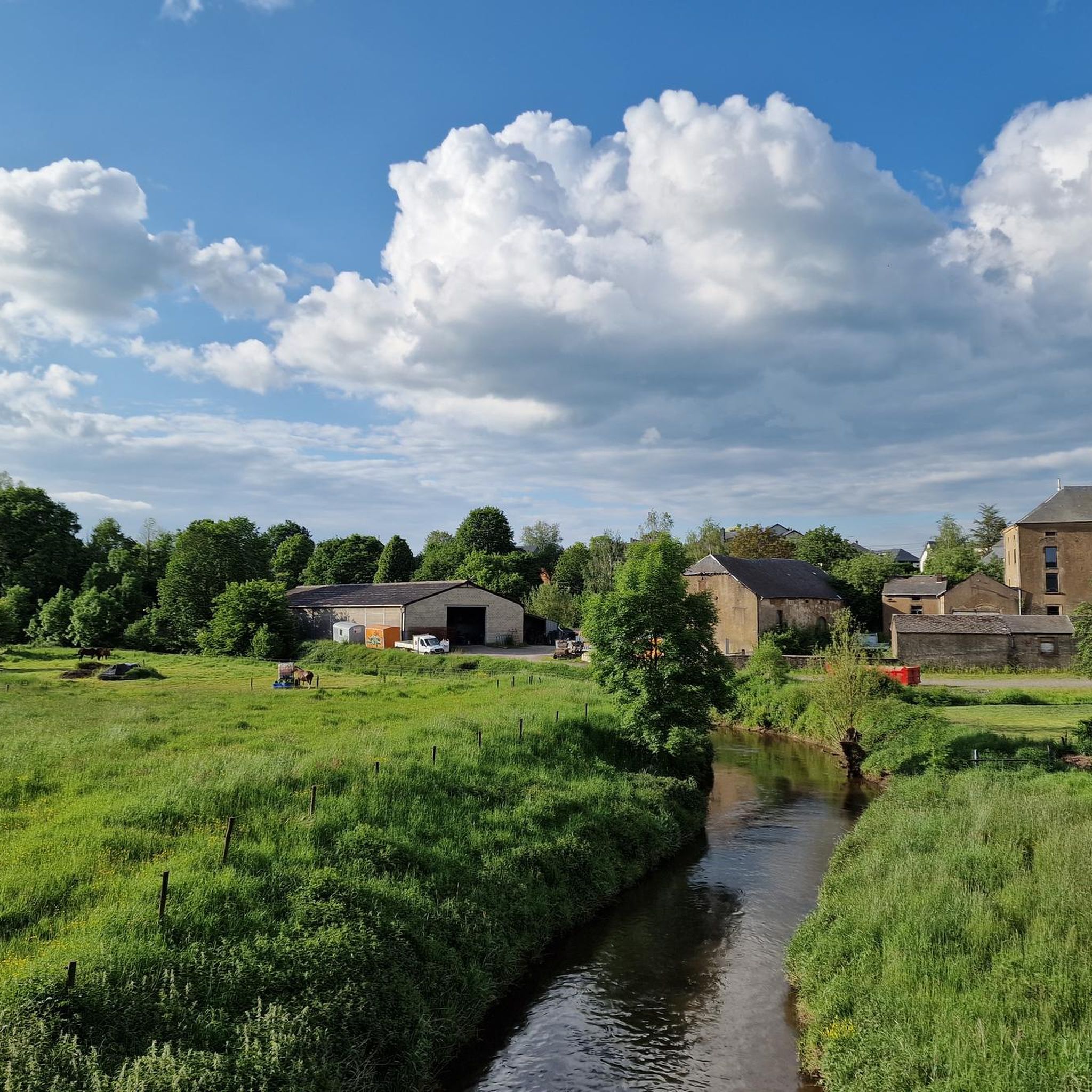
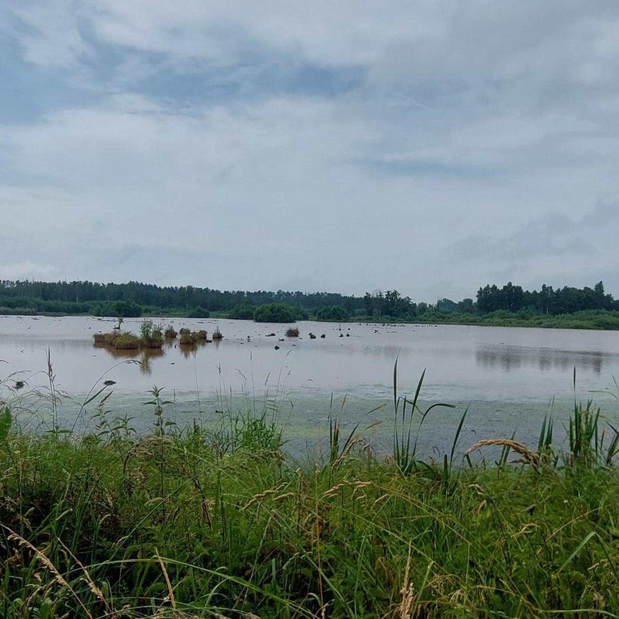
Absolutely. The region is characterized by the Rulles river and its associated ponds, alongside numerous marshes and streams. The La Rulles Riverside – La Trapperie loop from Fratin directly follows the Rulles river. You can also find routes near La Fabrique Pond and Tattert-Thiaumont Pond, offering beautiful waterside scenery.
What is the most challenging gravel route in the Étalle area?
For experienced gravel bikers seeking a challenge, the Path Along the Lakes of Habay – Les Forges du Pont d'Oye loop from Fratin is a demanding option. This difficult 92.7 km route features significant elevation gain and explores dense forests, providing a rigorous test of endurance and skill.
What do other gravel bikers say about the trails in Étalle?
The gravel biking routes in Étalle are highly regarded by the komoot community, boasting an average rating of 4.6 stars from over 40 reviews. Cyclists often praise the diverse landscapes, the mix of challenging and scenic terrain, and the opportunity to explore both natural beauty and historical sites.
Are there any long-distance gravel routes for an all-day adventure?
Yes, Étalle offers several longer routes for extended rides. The Path Along the Lakes of Habay – Les Forges du Pont d'Oye loop from Fratin is a substantial 92.7 km journey, while the Old Buzenol Railway Station – Chalet de la Rouge Eau loop from Fratin covers 70.0 km, both providing ample distance for a full day of exploration.
Can I find routes that are primarily through forests?
Étalle is known for its extensive forests, and many gravel routes immerse you in these natural surroundings. The Moulin d'Anlier – Forest Path loop from Mortinsart, for instance, takes you through dense woodlands, offering a shaded and scenic experience.
Are the gravel trails in Étalle typically circular routes?
Many of the popular gravel routes around Étalle are designed as loops, allowing you to start and finish at the same point. Examples include the La Rulles Riverside – La Trapperie loop from Fratin and the Gros Cron Stream – Ruins of Chantemelle loop from Fratin, providing convenient options for your ride.
What unique natural features can be found along the trails?
Beyond the forests and river valleys, Étalle's landscape includes unique geological characteristics such as "mardelles" and "crons." You might encounter highlights like the Cron de Montauban or the impressive The Great Oak of the Anlier Forest, adding distinct natural interest to your ride.
Most popular attractions around Étalle

Get inspired with the komoot mobile app


Explore more
Browse the best Gravel rides in other regions.
