The best gravel rides around Colfontaine
4.0
(19)
310
riders
46
rides
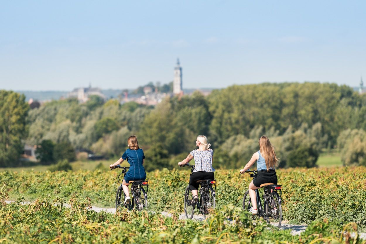
Gravel biking around Colfontaine offers diverse routes through its expansive natural areas and varied landscapes in Hainaut, Belgium. The region is characterized by the extensive Colfontaine Forest, which spans over 750 hectares and features a mix of wooded areas, rural scenery, and rolling hills. Many routes utilize the RAVeL network, providing generally comfortable paths, often following disused railway lines. This environment provides a blend of natural beauty and historical features, making it suitable for gravel biking.
Best gravel bike trails…
Last updated: October 25, 2026
5
riders
64.8km
04:50
420m
420m
Moderate gravel ride. Good fitness required. Some segments of this route may be unpaved and difficult to ride.
4.0
(2)
34
riders
59.3km
03:36
350m
350m
Moderate gravel ride. Good fitness required. Mostly paved surfaces.

5.0
(1)
7
riders
49.1km
03:24
360m
360m
Hard gravel ride. Good fitness required. You may need to push your bike for some segments of this route.
17
riders
67.4km
04:18
440m
440m
Moderate gravel ride. Good fitness required. Mostly paved surfaces.
3.0
(1)
11
riders
35.3km
02:09
200m
200m
Moderate gravel ride. Good fitness required. Mostly paved surfaces.
Get access to more routes and recommendations from other explorers.
Already have an account?
Our route recommendations are based on thousands of hikes, rides, and runs completed by other people on komoot.
Start today with a free account
Your next adventure awaits.
Other adventures around Colfontaine

Tips from the Community

The construction of the new train station in Bergen is a long story with many episodes. The year is 2004: the original plan provides for a refurbishment of the existing station building by the modernist architect René Panis, a footbridge over the railway tracks connecting the city center with a nearby shopping center and providing access to the platforms, a roof over the platforms, and a parking lot for commuters. The NMBS provides a budget of 37 million euros. The railway company launches a competition. The plans for a refurbishment of the station building 'mature' and change gradually. After much discussion between all parties involved, a jury led by Elio Di Rupo (PS), Walloon Minister-President and mayor of Bergen, chooses the design of the Spanish architect Santiago Calatrava. He is not only an architect, but also an artist. He is also notorious for his projects that are often much more expensive than planned. Delay The target date for the new station is 2015, the year in which Bergen is the European Capital of Culture. There is therefore some prestige involved in the project. The plans for the new train station are being redrawn. The footbridge over the railway tracks has become a brand-new station building above the tracks, the new design provides multimodal transfer options between the train and city and regional transport, and the parking lot has become a covered parking garage. The modernist station building from the 1950s is being demolished, despite protests. Work on the new building is delayed. Thanks to the bankruptcy of one of the contractors and conflicts with subcontractors. The construction site is regularly at a standstill and the target date of 2015 turns out not to be possible. Meanwhile, the bill is rising: in 2011 to 222 million euros, in 2021 to 289 million, and today to 480 million. That figure is, by the way, not yet final.
0
0

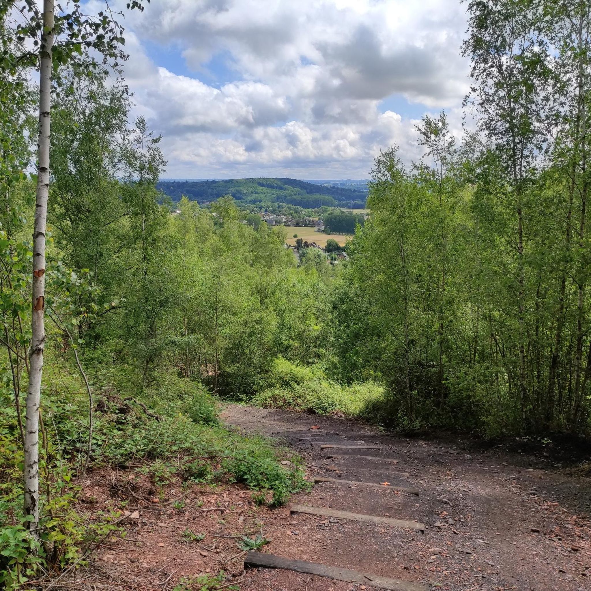
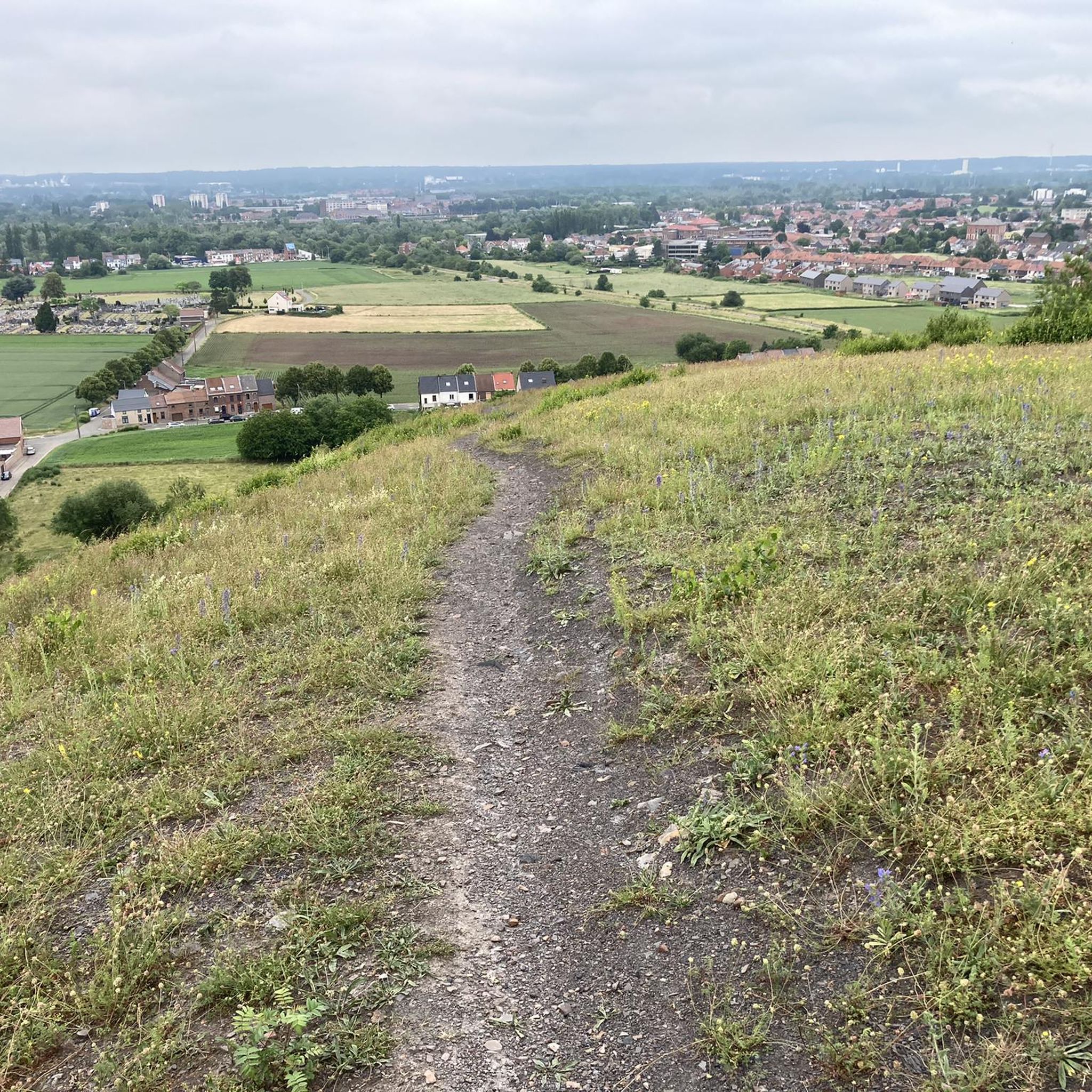
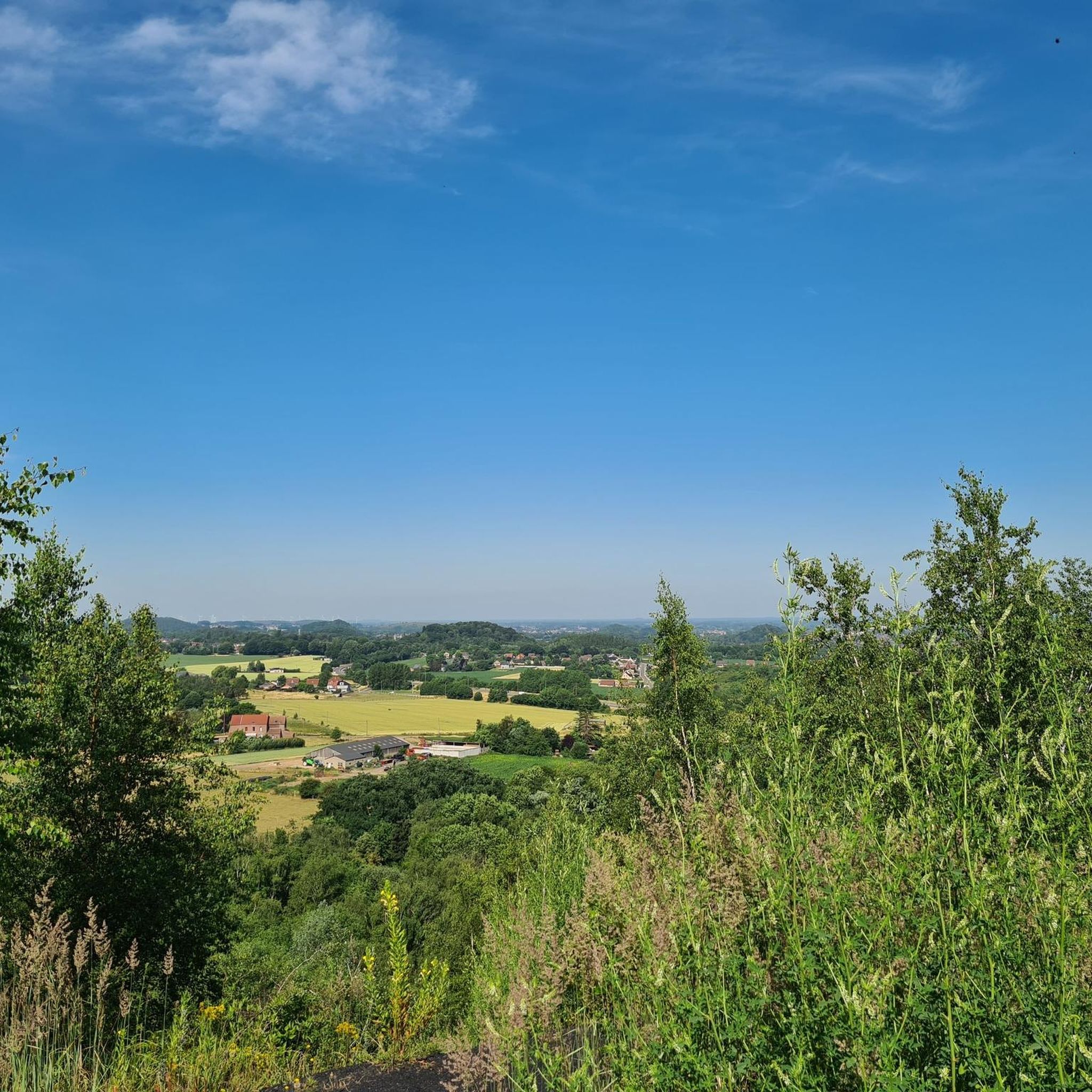
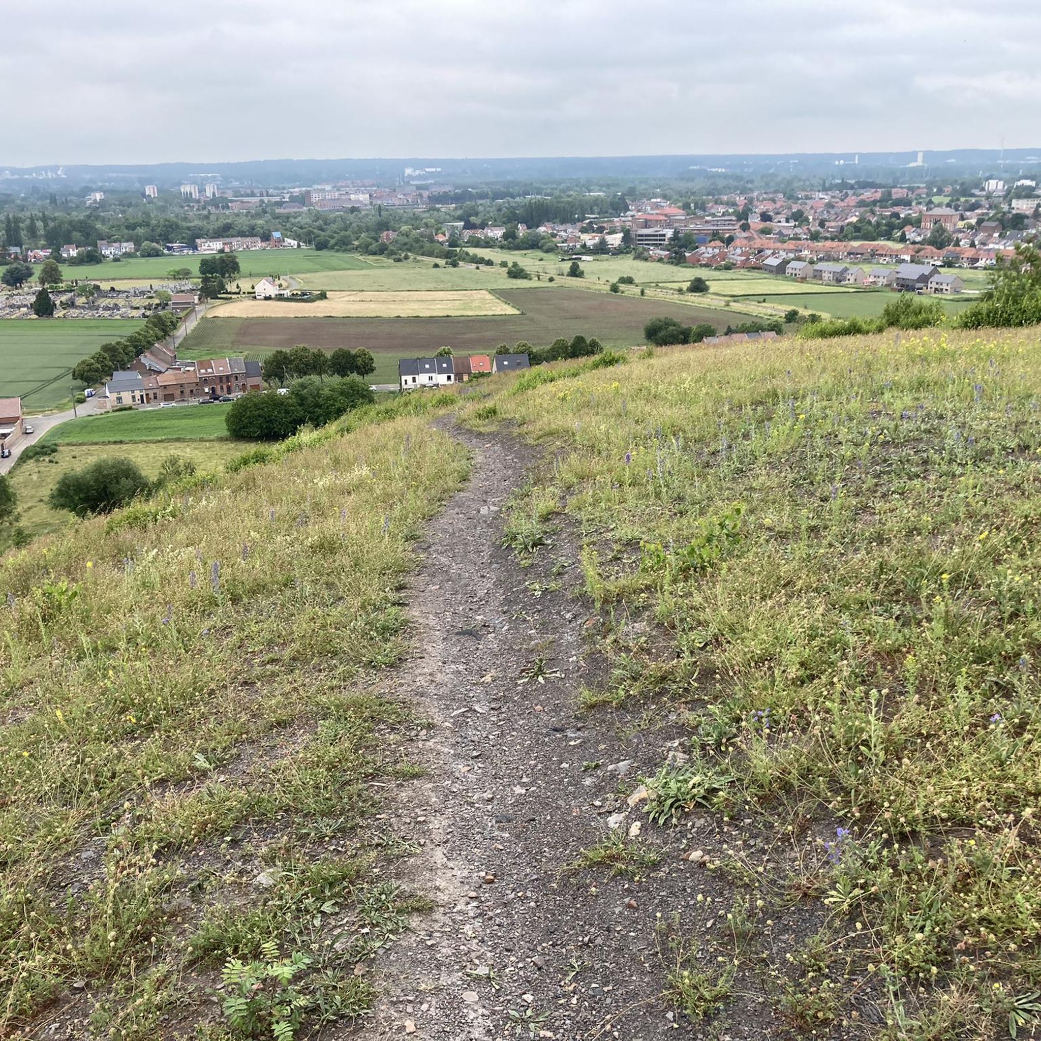
A popular route for joggers, walkers, and mountain bikers/gravel riders on one of Mons' five hills, in this case, Saint-Lazare Hill. Sometimes muddy, sometimes sandy, but the views over the region are worth the trip.
0
0


Some other impressive testimonies to the artistic work of Jaume PLENSA (born 1955) can be found in the following places and are also documented here in the komoot system as hiking highlights: => “Laurelle” in Bonn (North Rhine-Westphalia, Germany) see https://www.komoot.com/de-de/highlight/6685486 => “Seele?” in Erkrath (Mettmann district, North Rhine-Westphalia, Germany) see https://www.komoot.com/de-de/highlight/4183261 => “Love” in Leeuwarden (Friesland, Netherlands) see https://www.komoot.com/de-de/highlight/3906357 => “Lou” in Caen (Normandy, France) see https://www.komoot.com/de-de/highlight/5933145 => “Sanna” in Bordeaux (New Aquitaine, France) see https://www.komoot.com/de-de/highlight/5784432 => “Julia” in Madrid (Spain) see https://www.komoot.com/de-de/highlight/6131314 The following two groups of figures by the artist offer a different perspective: => “Air-Earth” in Bamberg (Bavaria, Germany) see https://www.komoot.com/de-de/highlight/2559580 => “Seven Poets” in Andorra la Vella (Andorra) see https://www.komoot.com/de-de/highlight/4741064
0
0


Difficult to reach after heavy rains due to masses of mud. The descent is two kilometers through water. Very adventurous😁
0
0

The Bois d'Havré, located on the outskirts of Mons, is a 250 hectare forest which was once part of the domain of the Dukes of Havré. This historic and natural site constitutes a real green lung for the region. It is home to a variety of tree species such as oaks, ash, cherry, larch and pine. The wood is also a popular place for hiking, cycling and horse riding thanks to its marked trails and a VITA track.
3
0
Frequently Asked Questions
How many gravel bike trails are available in Colfontaine?
Colfontaine offers a wide variety of options for gravel bikers, with over 60 trails available. These routes cater to different skill levels, from easy rides to more challenging adventures.
What kind of terrain will I encounter on gravel bike trails in Colfontaine?
You can expect a diverse landscape for gravel biking in Colfontaine. Trails wind through the dense woodlands of the Colfontaine Forest, over rolling hills, and across rural scenery. Many routes incorporate sections of the RAVeL network, which often follows disused railway lines, providing a mix of dirt tracks, forest paths, and some paved sections.
Are there any challenging gravel bike routes in the Colfontaine area?
Yes, for experienced riders seeking a challenge, Colfontaine features 12 difficult gravel bike routes. One such route is the Old Canal du Centre Boat Lift – Hyon Waterfall and Ponds loop from Mons, which is 31.5 miles (50.7 km) long and includes significant elevation changes.
What are some notable natural attractions or landmarks I can see along the gravel trails?
The Colfontaine Forest itself is a major natural attraction, known for its diverse trees and as an ornithological reserve. Along the trails, you might encounter historical mining traces like the concrete headframe of the Sauwartan coal mine, or slag heaps offering panoramic views. Specific highlights include the Hyon Waterfall and Ponds, the Crachet slag heap, and the Trees with mistletoe.
Are there any family-friendly gravel biking options in Colfontaine?
Yes, the RAVeL network, which is integrated into many routes around Colfontaine, provides extensive paths that are generally comfortable and safe for non-motorized users. These routes often follow disused railway lines and towpaths, offering easier options suitable for families. While specific 'easy' routes are available, it's always good to check the route details for distance and elevation to ensure it suits your family's ability.
What do other gravel bikers enjoy most about Colfontaine?
The gravel biking experience in Colfontaine is highly rated by the komoot community, with an average score of 4.2 stars from over 20 reviews. Riders often praise the region's diverse terrain, the extensive network of trails through the Colfontaine Forest, and the blend of natural beauty with historical features.
Is it possible to find circular gravel bike routes in Colfontaine?
Yes, many of the gravel bike routes in Colfontaine are designed as loops, allowing you to start and finish at the same point. For example, the popular Borinage and Haut-Pays Loop is a 40.2-mile (64.8 km) circular trail that explores the broader regional landscape.
Where can I park when gravel biking in Colfontaine?
While specific parking locations for each trailhead are not detailed here, the Colfontaine Forest is a significant natural area, and you can typically find designated parking areas near its main entrances or visitor centers. It's advisable to check local maps or specific route descriptions for recommended starting points with parking facilities.
What is the best time of year to go gravel biking in Colfontaine?
The autumn season is particularly scenic for gravel biking in Colfontaine, as the forest transforms with vibrant colors, and dirt tracks are often covered with fallen leaves. However, the region's diverse trails are enjoyable throughout the warmer months, with small ponds in the forest becoming refuges for dragonflies during summer.
Are there any historical sites or castles near the gravel biking routes?
Beyond the forest's mining history, the broader region around Colfontaine features several historical sites and castles. You can find highlights such as Gussignies Castle, Château de Boussu, and the Manoir de Rampemont Gatehouse, which are part of the rich heritage of the area.
Can I access Colfontaine's gravel trails using public transport?
Colfontaine is located in Hainaut, Belgium, and while specific public transport links directly to trailheads are not provided, the region is generally accessible. For detailed information on bus or train connections to Colfontaine and nearby starting points, it's recommended to consult local public transport schedules.
Are there any routes that feature waterfalls or ponds?
Yes, some routes specifically highlight these natural features. The Hyon Waterfall and Ponds – Mur de Spienne loop from Mons is a 32.2-mile (51.8 km) trail that leads through varied terrain and includes these scenic water features.
Are dogs allowed on the gravel bike trails in Colfontaine?
The Colfontaine Forest is a natural park area, and generally, dogs are permitted on trails, often requiring them to be on a leash. However, specific regulations can vary, so it's always best to check local signage or the official website for the Nature Park of Les Hauts-Pays for the most current guidelines regarding pets.
Most popular routes around Colfontaine
Most popular attractions around Colfontaine

Get inspired with the komoot mobile app


Explore more
Browse the best Gravel rides in other regions.
