The best gravel rides around Montano Lucino
4.3
(55)
424
riders
45
rides
Gravel biking around Montano Lucino offers a diverse landscape, situated between the pre-Alpine foothills and the Lake Como and Lake Lugano areas. The region features a network of routes that traverse varied terrains, including forest paths, hills, and valleys. Cyclists can expect a mix of paved and unpaved surfaces, with some routes presenting significant elevation changes. This area provides varied topography for both challenging and scenic gravel rides.
Best gravel bike trails around Montano Lucino
- The most popular gravel bike…
Last updated: September 1, 2026
4.2
(5)
26
riders
46.5km
03:34
820m
820m
Hard gravel ride. Very good fitness required. Mostly paved surfaces. Suitable for all skill levels.
4.6
(7)
70
riders
Moderate gravel ride. Good fitness required. Mostly paved surfaces. Suitable for all skill levels.

Sign up for free
4.8
(5)
53
riders
Moderate gravel ride. Good fitness required. Mostly paved surfaces. Suitable for all skill levels.
4.2
(6)
8
riders
22.6km
01:28
320m
320m
Moderate gravel ride. Good fitness required. Mostly paved surfaces. Suitable for all skill levels.
4.0
(1)
7
riders
84.5km
05:49
790m
790m
Hard gravel ride. Very good fitness required. Mostly paved surfaces. Suitable for all skill levels.
Get access to more routes and recommendations from other explorers.
Sign up for free
Already have an account?
Our route recommendations are based on thousands of hikes, rides, and runs completed by other people on komoot.
Start today with a free account
Your next adventure awaits.
Login or Signup
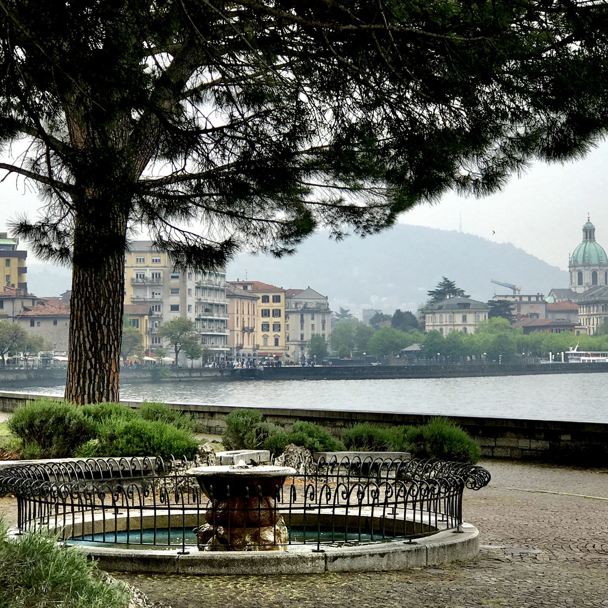
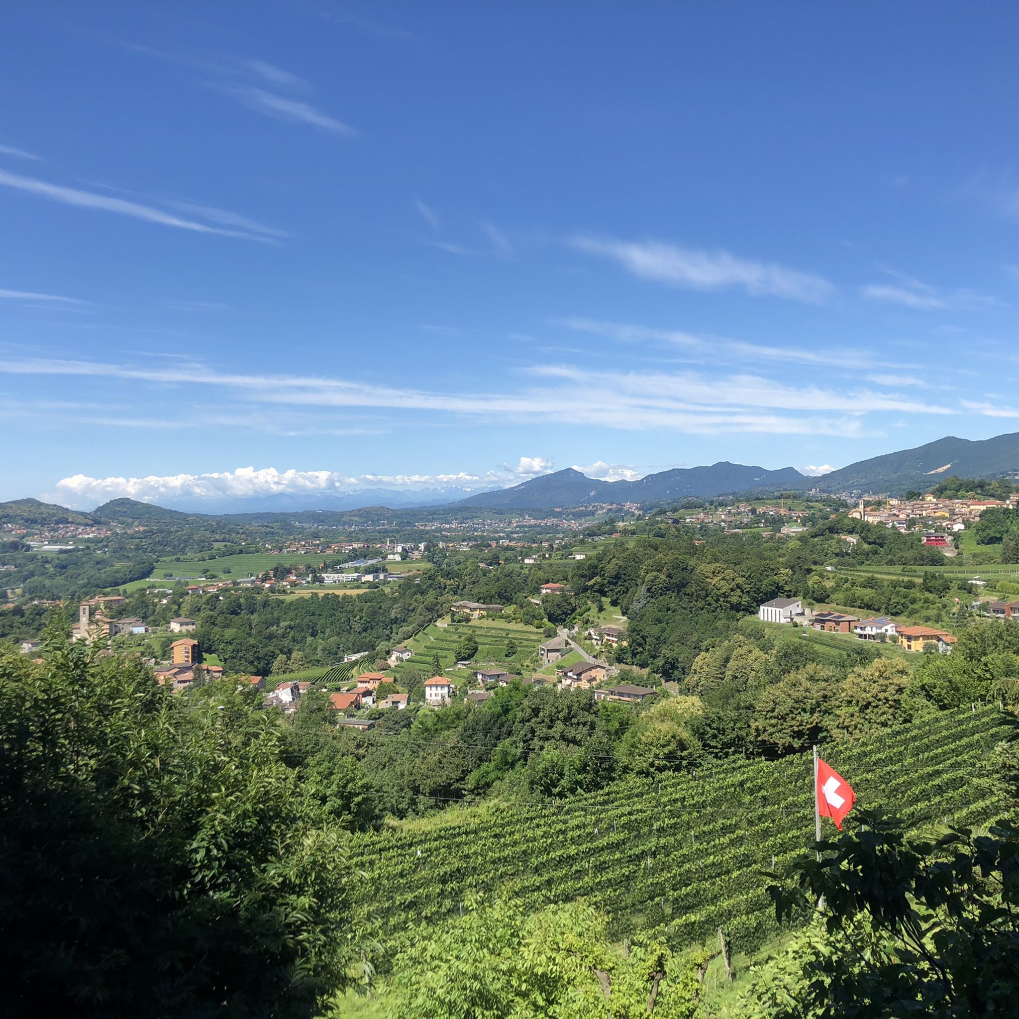
Tips from the Community

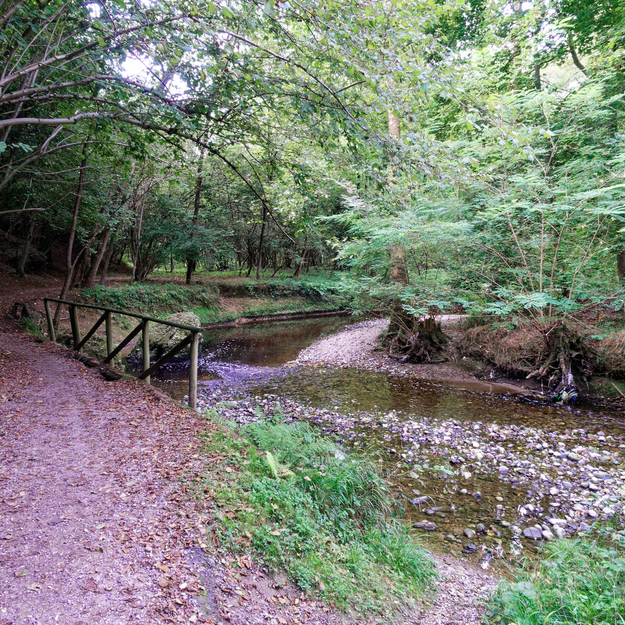
The Lura is a stream in Lombardy that originates near the Italian-Swiss border, in the municipality of Uggiate con Ronago, at an altitude of about 400 m. The Lura has a total length of 46.2 km and a drainage basin of 120 km², and is today the largest tributary of the Olona river.
0
0

The Villoresi Canal towpath connects Arese and the nearby municipalities via cycle paths and service roads, offering a convenient cycle-pedestrian route along the artificial canal that connects the Ticino and Adda rivers.
0
0

bridge over the Lura in the homonymous park
0
0

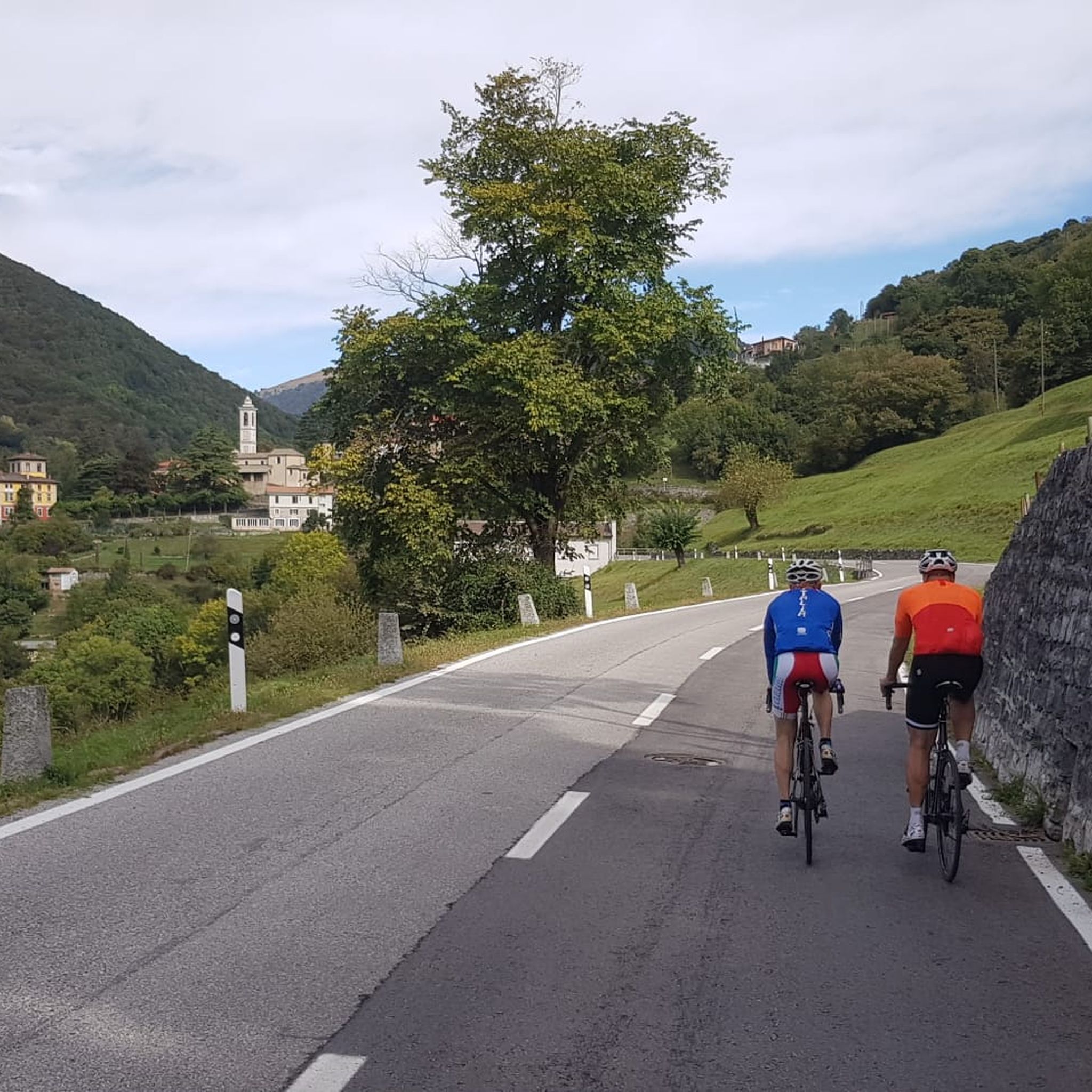
always very fun to cycle on these dirt roads!!
2
0

Pay attention to the GPS directions as they are not always accurate
1
0
mix of MTB or GRAVEL trails....
0
0
Il Parco del Lura is a local park of supramunicipal interest established for the protection and enhancement of the Lura stream valley in the stretch that extends from Cassina Rizzardi to Lainate. The municipalities adhering to the consortium are: Bregnano, Cadorago, Caronno Pertusella, Cassina Rizzardi, Cermenate, Garbagnate Milanese, Guanzate, Lainate, Lomazzo, Rovellasca, Rovello Porro and Saronno
0
0
Montorfano is a small village named after the mountain that overlooks it, a limestone outcrop so named because it rises isolated from the pre-Alpine mountain range behind it. Legend has it that the tears of the mountain, shed for its solitude, gave rise to a body of water, Lake Montorfano, one of the smaller lakes in Brianza.
0
0
Frequently Asked Questions
How many gravel bike trails are available around Montano Lucino?
There are over 60 gravel bike trails around Montano Lucino, offering a wide range of options for different skill levels. You'll find routes ranging from moderate to difficult, with varied terrain and elevation changes.
What is the general difficulty level of gravel biking routes in this region?
The gravel biking routes around Montano Lucino offer a mix of challenges. While there are a few easy routes, the majority are classified as moderate (29 routes) or difficult (31 routes). Many routes feature significant elevation changes and varied surfaces, making them suitable for riders with good fitness and experience.
Are there any family-friendly gravel trails suitable for beginners?
Yes, there are a few easier options. For instance, the area along the Lura stream offers routes with a mix of surfaces that can be suitable for families or beginners. While most routes have some elevation, you can find less challenging sections to explore. Always check the route details for specific difficulty ratings.
What kind of natural features can I expect to see along the gravel trails?
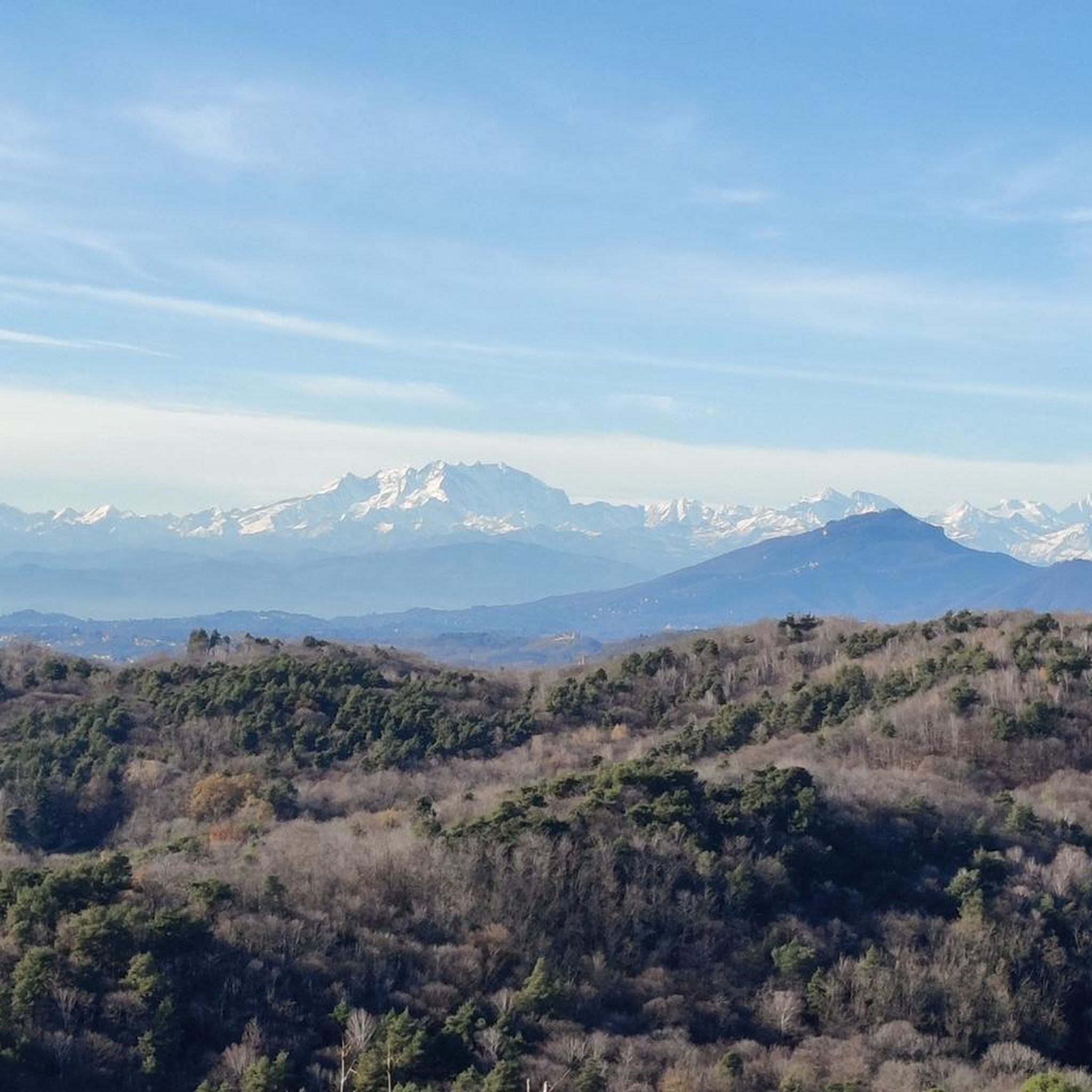
The region is rich in natural beauty. You'll encounter diverse landscapes including pre-Alpine foothills, varied forest paths, and routes that hug the shores of Lake Como and extend towards Lake Lugano, offering panoramic views. The area also features hills, woods, and valleys, with some routes passing through protected areas like the Lura Park.
Are there any notable landmarks or attractions accessible from the gravel bike routes?
Yes, several routes offer access to interesting sights. You can find routes that pass near the historic Valmorea Railway, offering a glimpse into the region's past. While not directly on every gravel route, the wider area boasts attractions like the Voltiano Lighthouse in Brunate for splendid panoramic views, and the beautiful Como Harbour. For specific points of interest, you might find highlights like Alpe Loasa or Cascina della Volpe.
What do other gravel bikers enjoy most about Montano Lucino's trails?
The gravel biking trails around Montano Lucino are highly rated by the komoot community, with an average score of 4.3 stars from over 80 reviews. Riders often praise the diverse terrain, the mix of paved and unpaved surfaces, and the scenic views, especially those near the lakes and through the pre-Alpine foothills. The variety of routes caters to different fitness levels, making it a popular destination.
Can I find circular gravel routes in the Montano Lucino area?
Yes, many of the gravel routes around Montano Lucino are designed as loops, allowing you to start and end at the same point. Examples include the San Fermo della Battaglia – Former Valmorea Railway loop from Como San Giovanni and the Cycling and pedestrian bridge over the Lura – Along the Lura stream loop from Grandate-Breccia. This makes planning your ride convenient.
What is the best time of year for gravel biking around Montano Lucino?
The region generally offers good conditions for gravel biking from spring through autumn. Spring brings blooming landscapes, while autumn provides pleasant temperatures and vibrant foliage. Summers can be warm, so early morning or late afternoon rides are often preferred. Winter riding is possible, but some higher elevation or less maintained sections might be challenging due to weather conditions.
Are there any specific rules or permits required for gravel biking in local parks like Parco del Lura?
While general gravel biking in the Montano Lucino area typically doesn't require specific permits, it's always advisable to check local regulations, especially when riding through protected areas like the Lura Park or the Valle Albano and Adda River Natural Reserve. These parks may have specific rules regarding trail usage, opening hours, or environmental protection. Always respect signage and local guidelines.
Is it possible to access the gravel trails using public transport?
Yes, some routes are accessible via public transport. For example, the San Fermo della Battaglia – Former Valmorea Railway loop starts from Como San Giovanni, which is a major train station. Other routes might be reachable from towns with bus connections. Planning your route with public transport in mind can help you explore different starting points without needing a car.
Where can I find parking near the gravel trailheads in Montano Lucino?
Parking availability varies by trailhead. Many routes start from towns or villages where public parking might be available. For routes exploring the Lura stream or Parco del Lura, look for designated parking areas near park entrances or local amenities. It's recommended to check specific starting points on your chosen route for the most accurate parking information.
Are there any cafes or places to stop for refreshments along the gravel routes?
Given that many routes pass through or near towns and villages, you will likely find opportunities for refreshments. Montano Lucino and nearby communities offer cafes, pubs, and restaurants where you can take a break. For longer routes, it's always a good idea to carry sufficient water and snacks, especially in more remote sections.
Can I bring my dog on the gravel biking trails?
Generally, many outdoor trails in Italy are dog-friendly, especially if your dog is well-behaved and kept on a leash. However, specific rules can apply in protected areas or private lands. When cycling through parks like Parco del Lura, always check for any posted regulations regarding dogs. It's best to ensure your dog is comfortable with cycling speeds and other trail users.
Most popular routes around Montano Lucino
Most popular attractions around Montano Lucino

Get inspired with the komoot mobile app


Explore more
Browse the best Gravel rides in other regions.
